Big Bog State Recreation Area

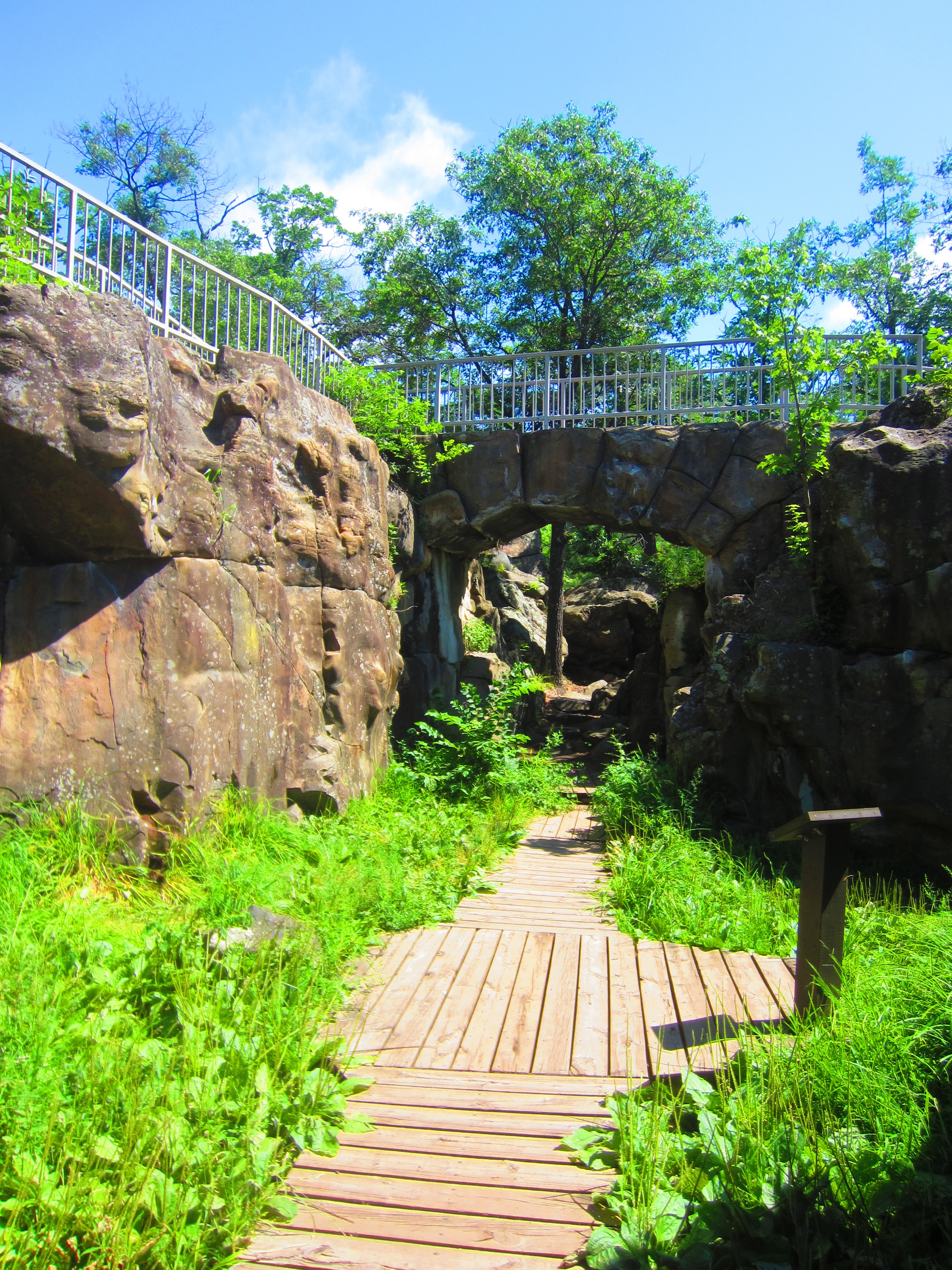
The Stunted Forest at Big Bog State Recreation Area 

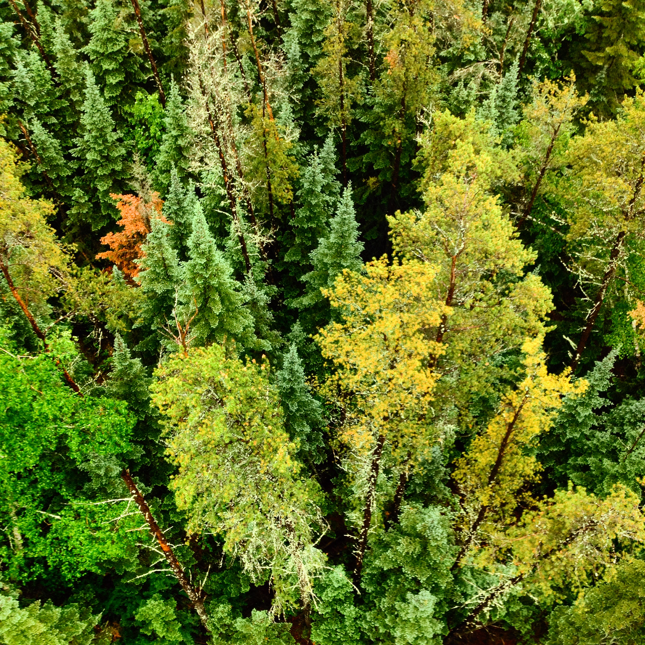
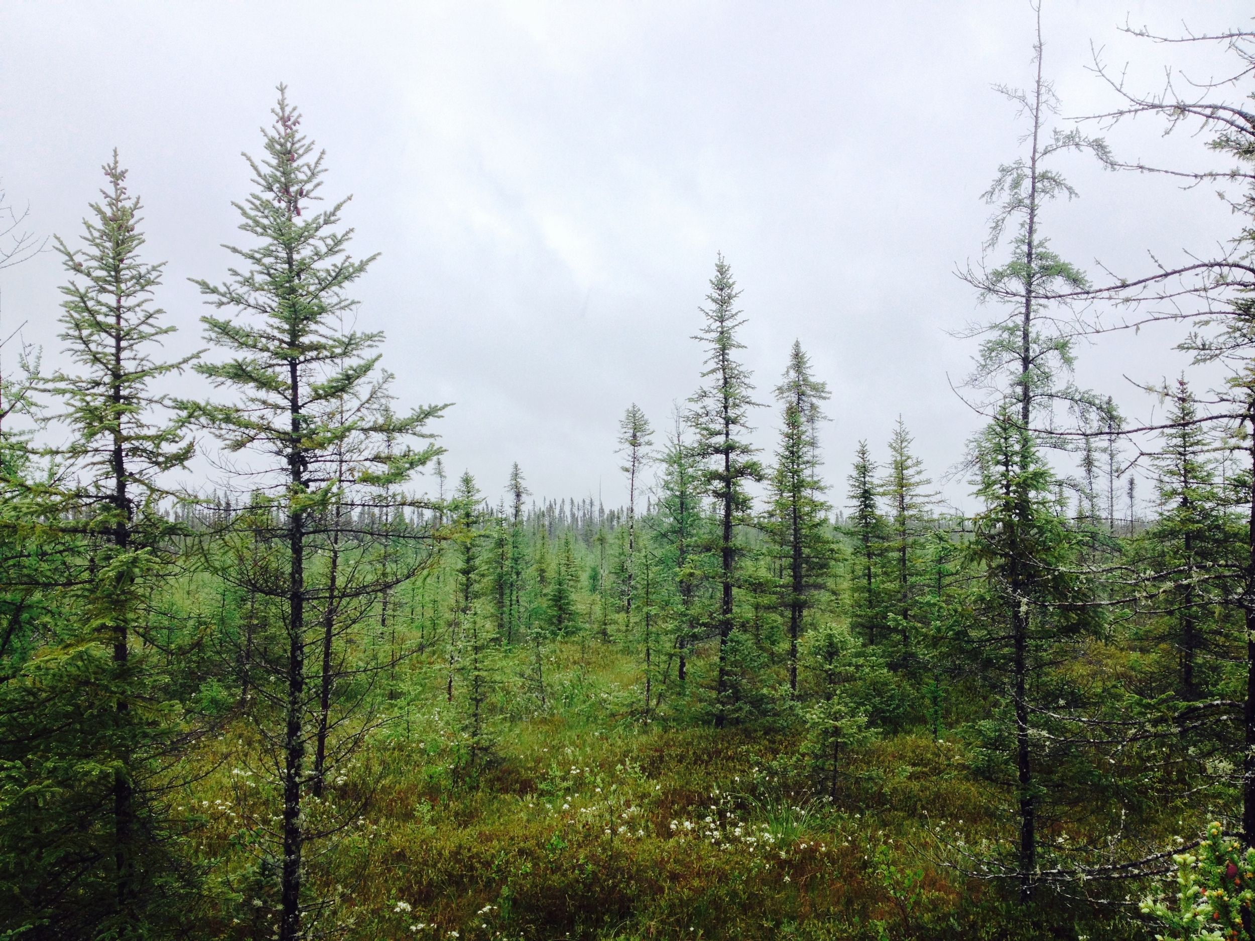
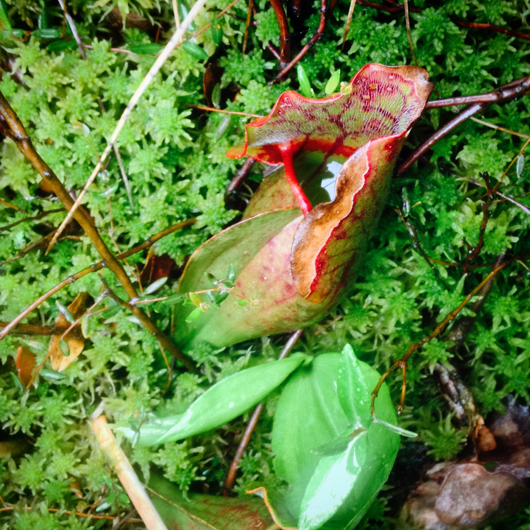
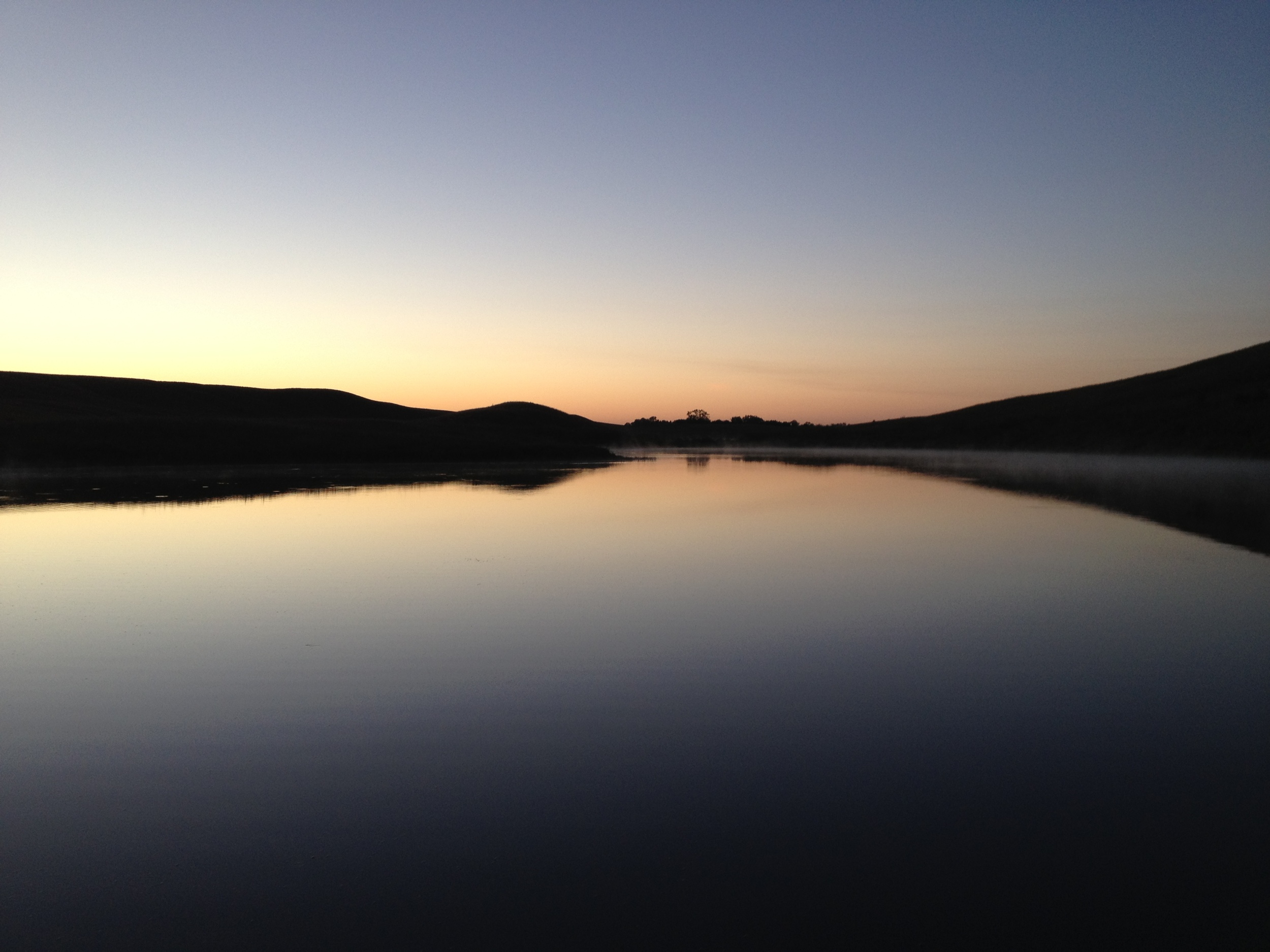
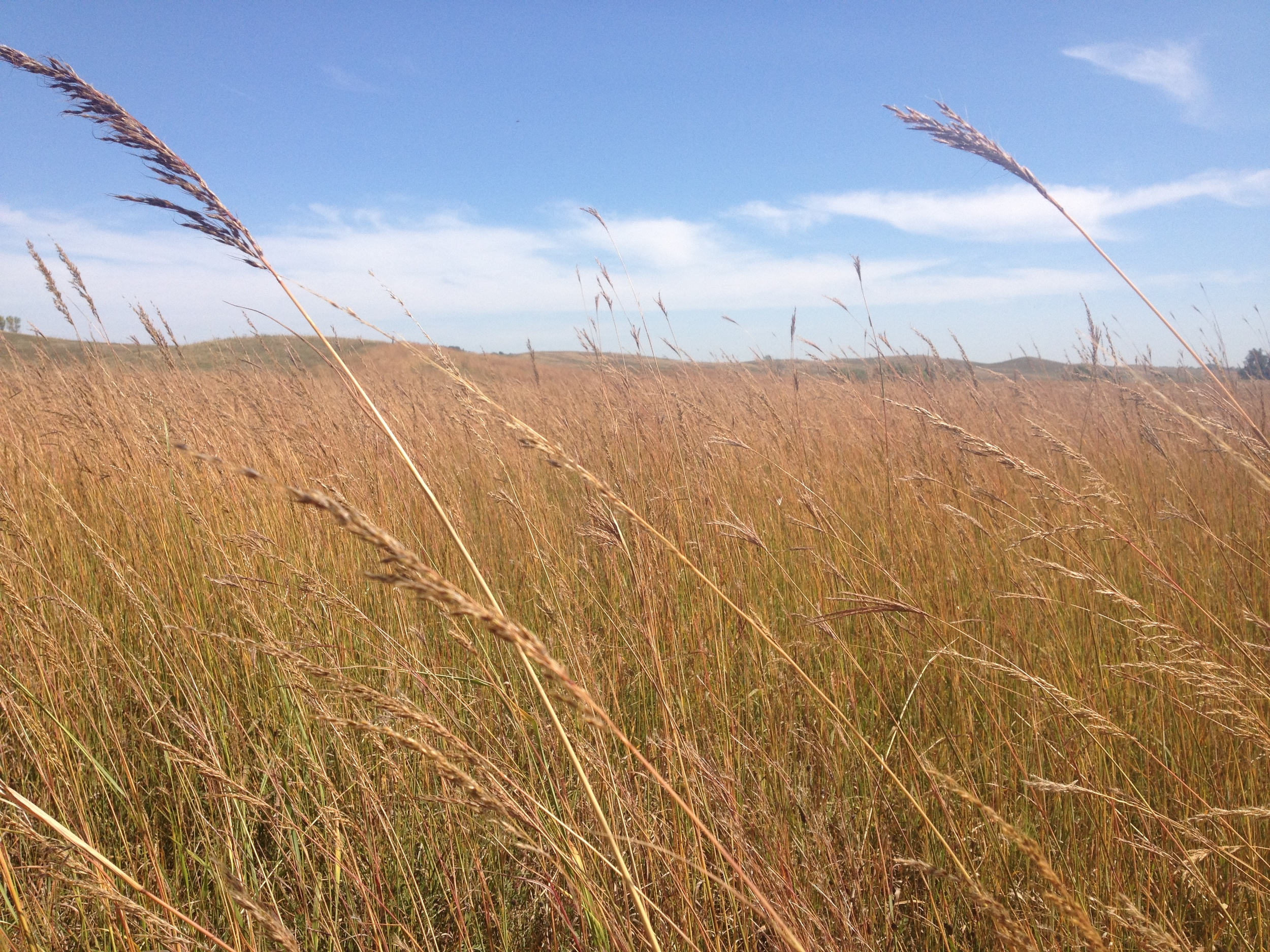
The Park: Big Bog, an uninspired name for the 500 sq. mile bog in north central Minnesota (the largest in the contiguous United State), is sometimes called Minnesota's last true wilderness. Not even the Boundary Water Wilderness is so remote, unvisited, and uninhabitable. All attempts at settlement failed - the bog wouldn't drain, the land couldn't be farmed, and mosquitos drove people mad. Wildlife has trouble in the wet, acidic peatland north of Red Lake. Bog Lemmings might thrive, but most mammals, like moose, deer, and caribou, only visit the bog, unable to make it a permanent home. Plants find the soil so inhospitable that several have turned carnivorous - actually eating insects, amphibians, and even small mammals - to supply the nutrients and energy the ground lacks, and a two hundred year old spruce can look like a sickly sapling, never having the conditions it need to grow to its full potential. Even normal words seem to fail when describing a bog - quagmire, peat, sphagnum, fen, and flark are among the strange vocab that has grown up around bogs. It's easy to see why I find bogs one of the most interesting ecosystems in the state and even named this site after it. 

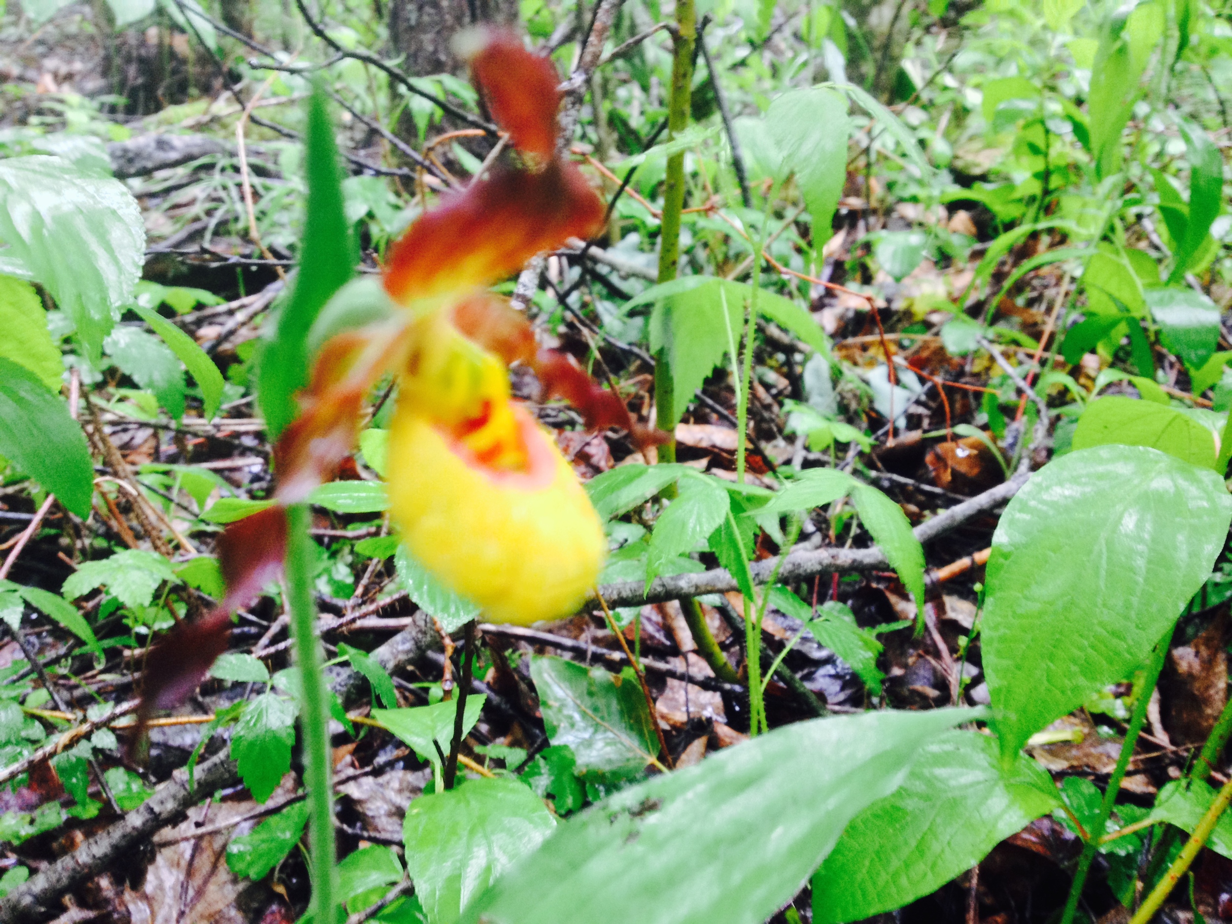
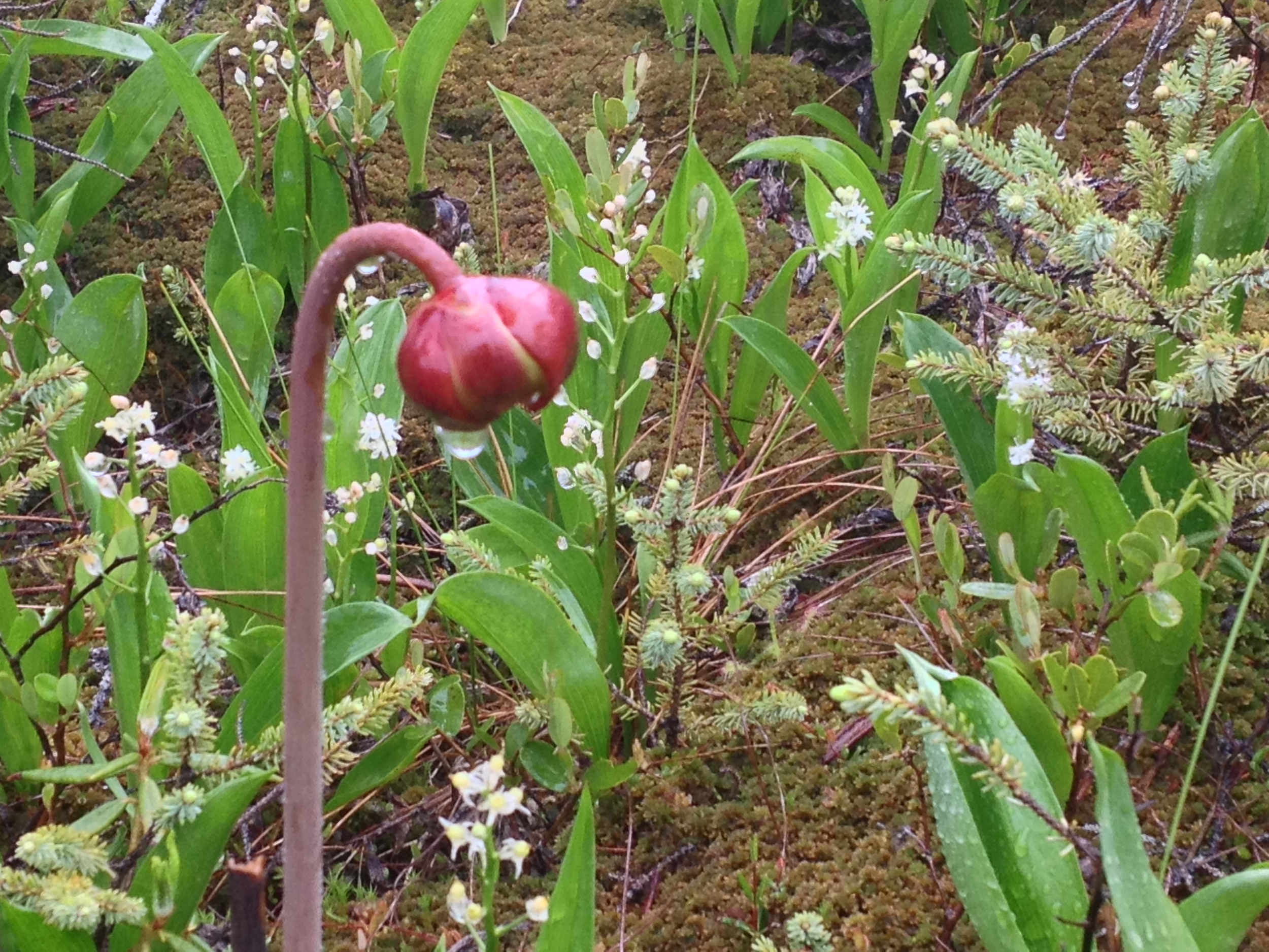
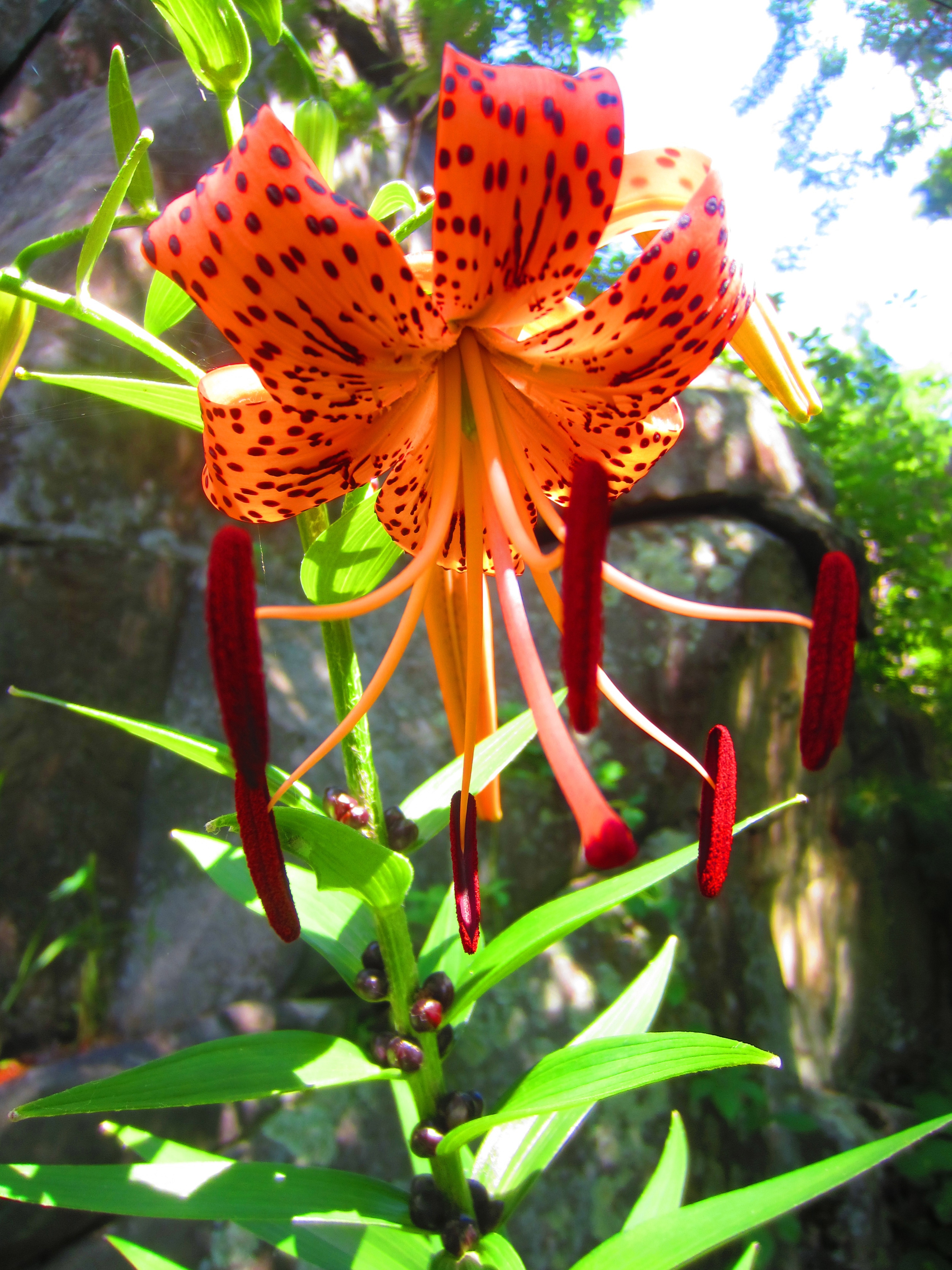
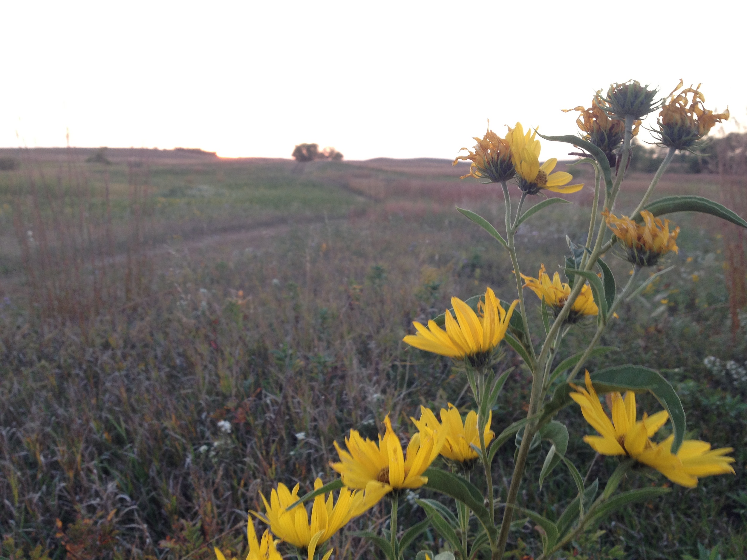
Pitcher Plants just about to bloom at Big Bog State Recreation Area. 

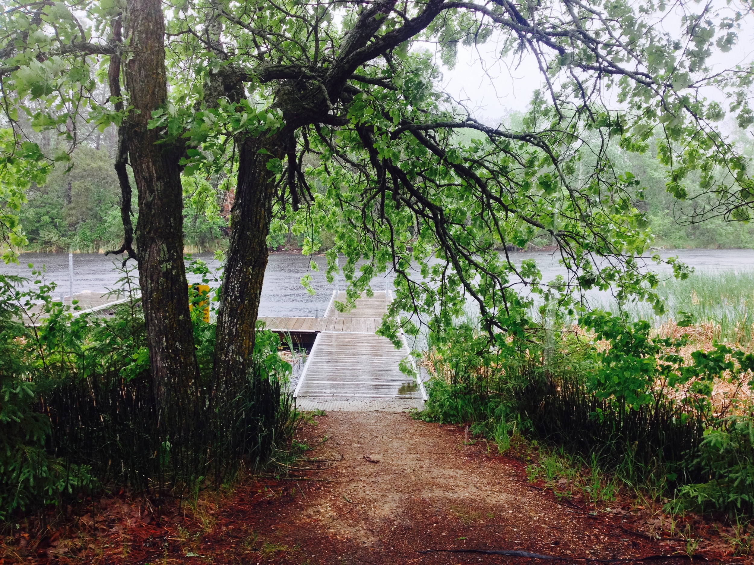
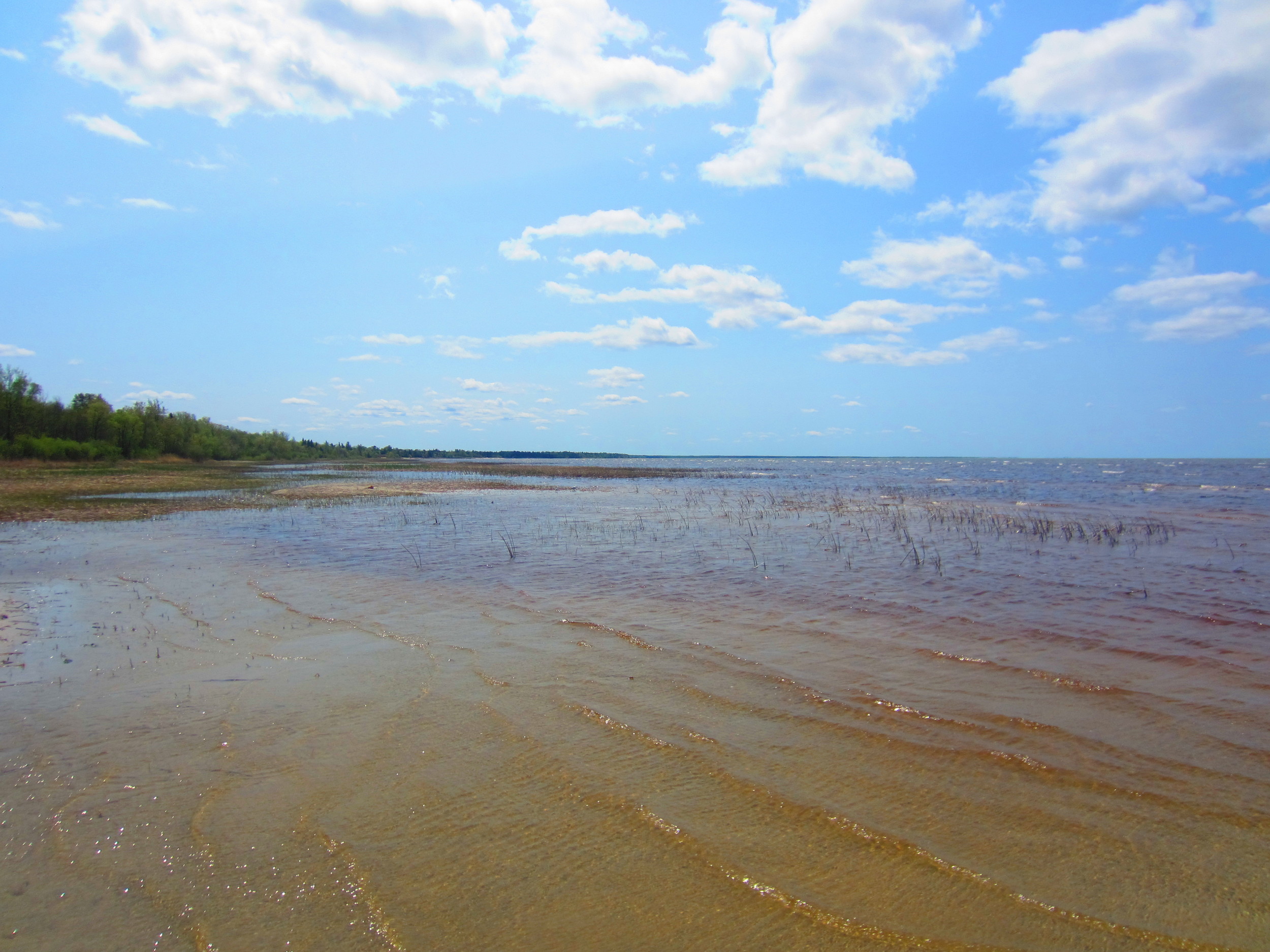
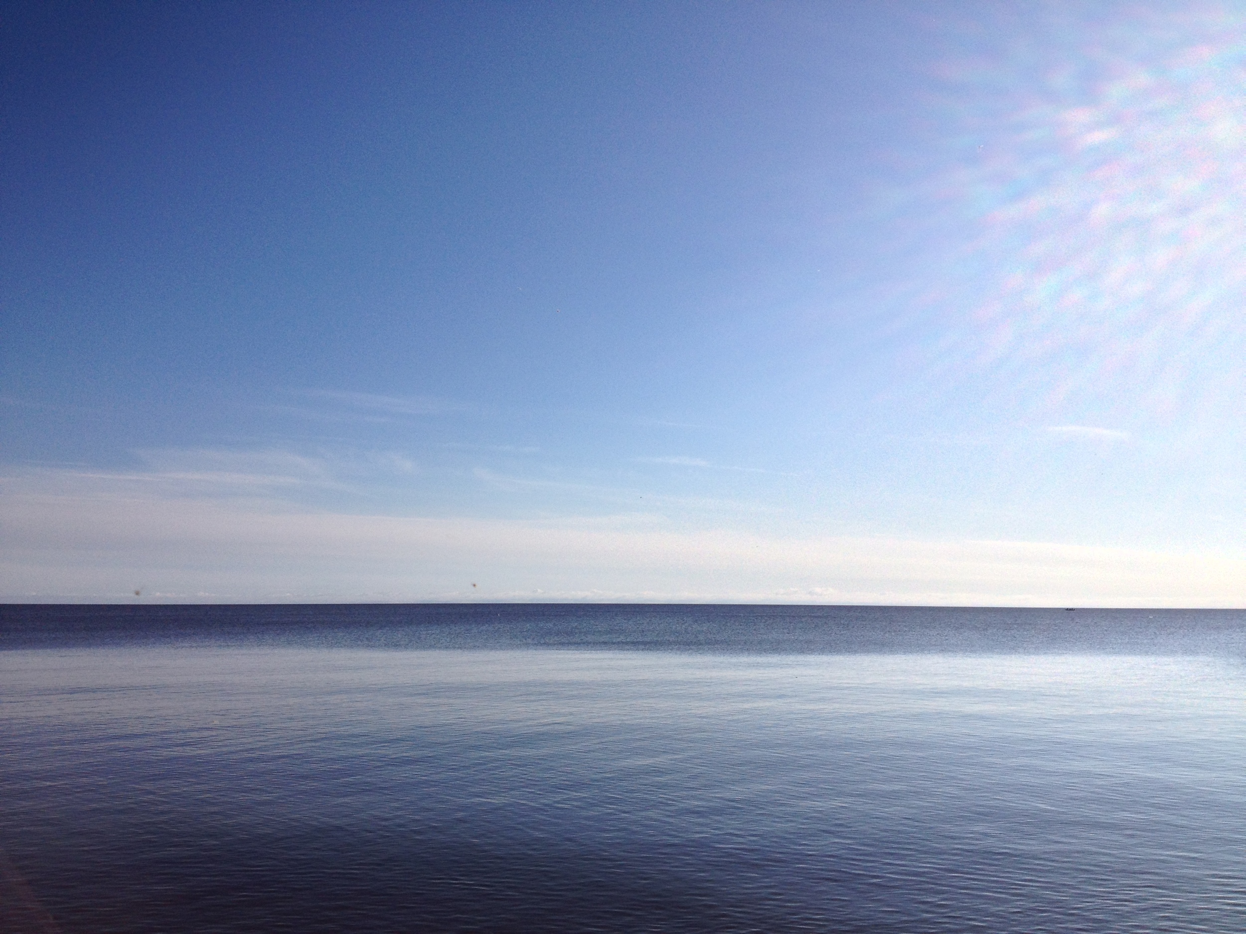
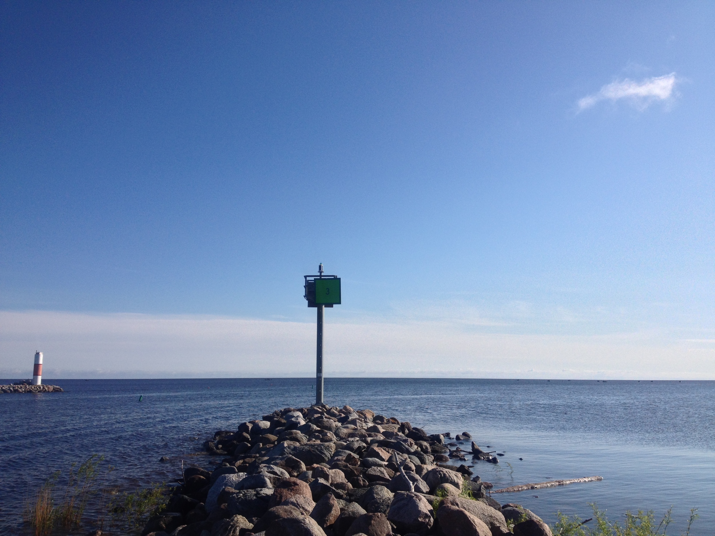
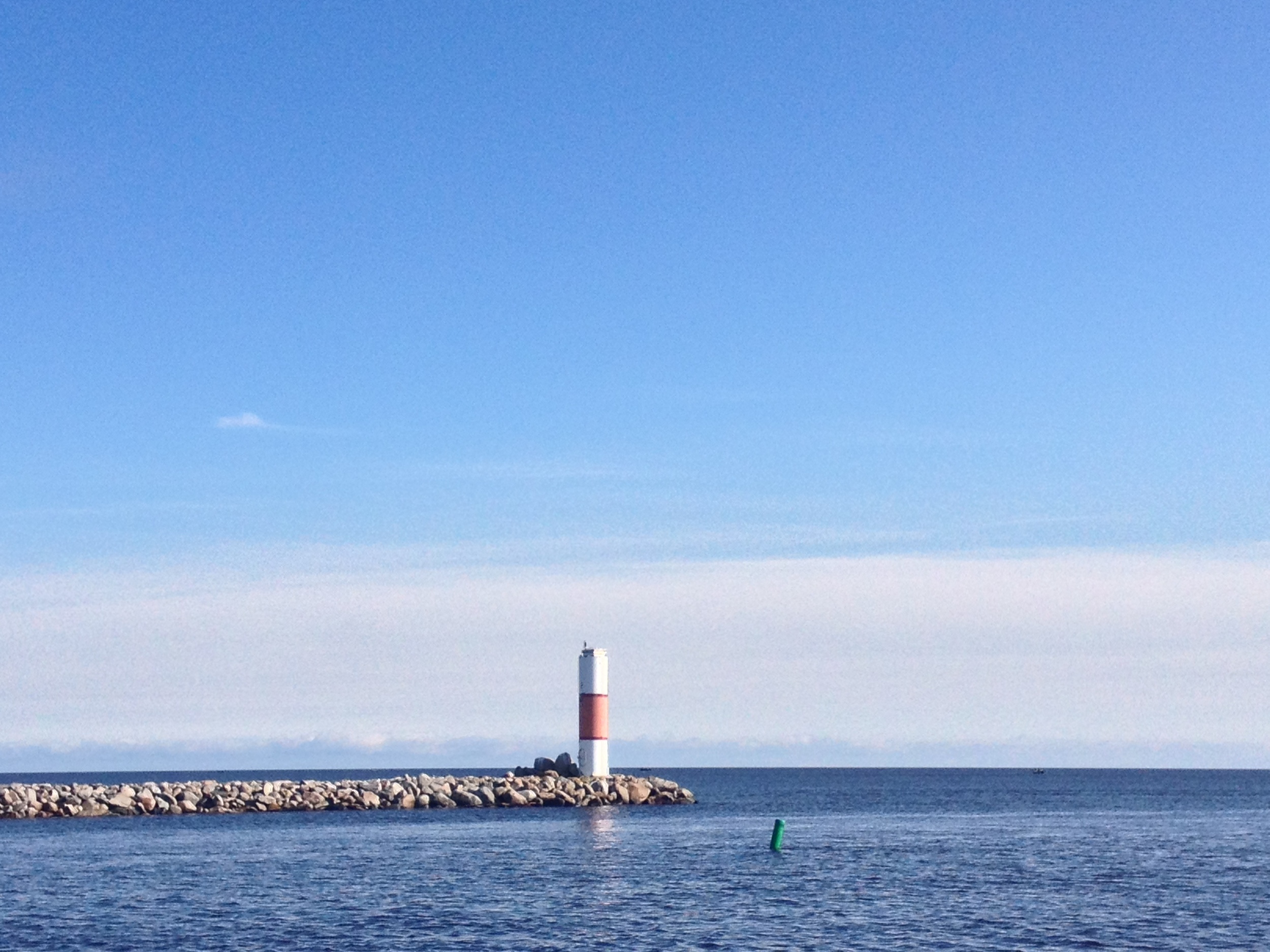
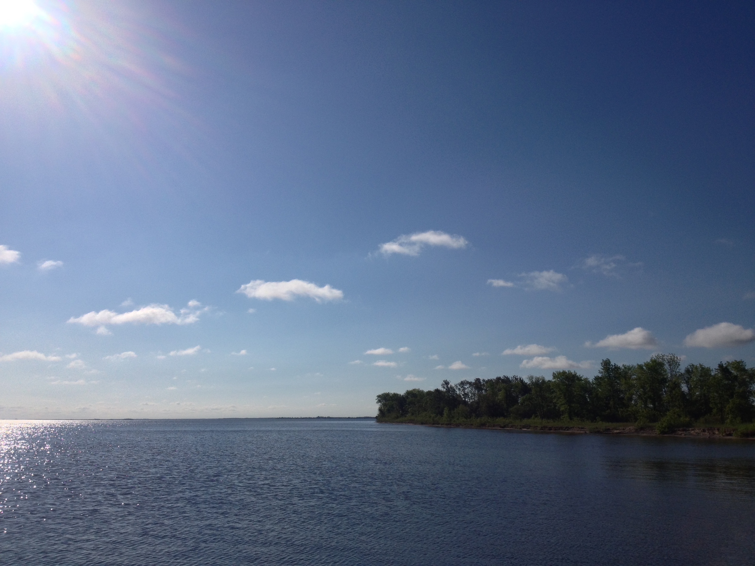
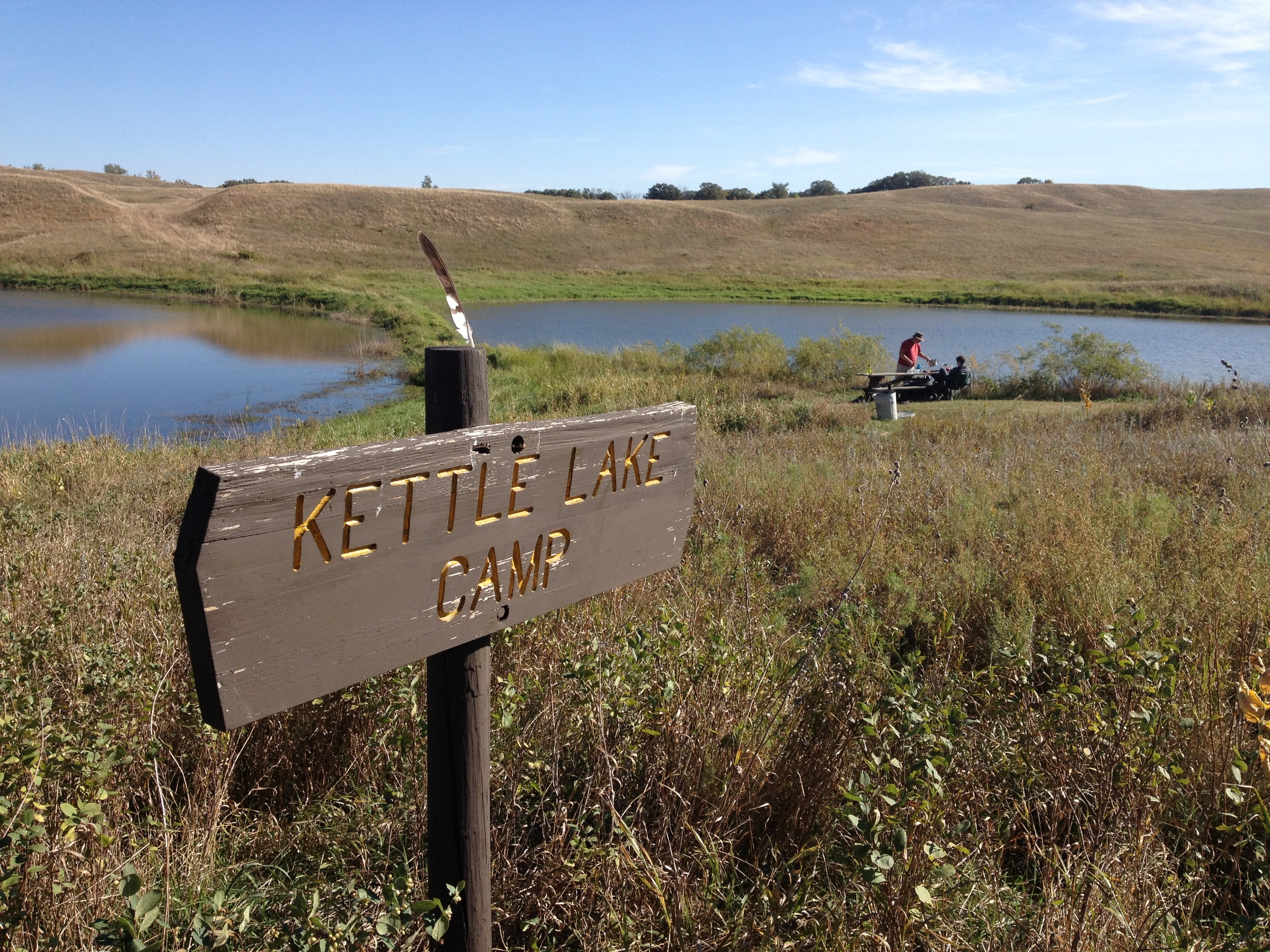
Big Bog State Recreation Area is divided into a north unit and a south unit. The south unit is on Red Lake - the largest lake completely within Minnesota - boasts a fire tower, and is popular with fishermen. The northern unit is the bog walk, which I'll talk about in the hike section. The park was created in attempt to bring people up after the collapse of the walleye population in Red Lake destroyed the tourism economy of the area.

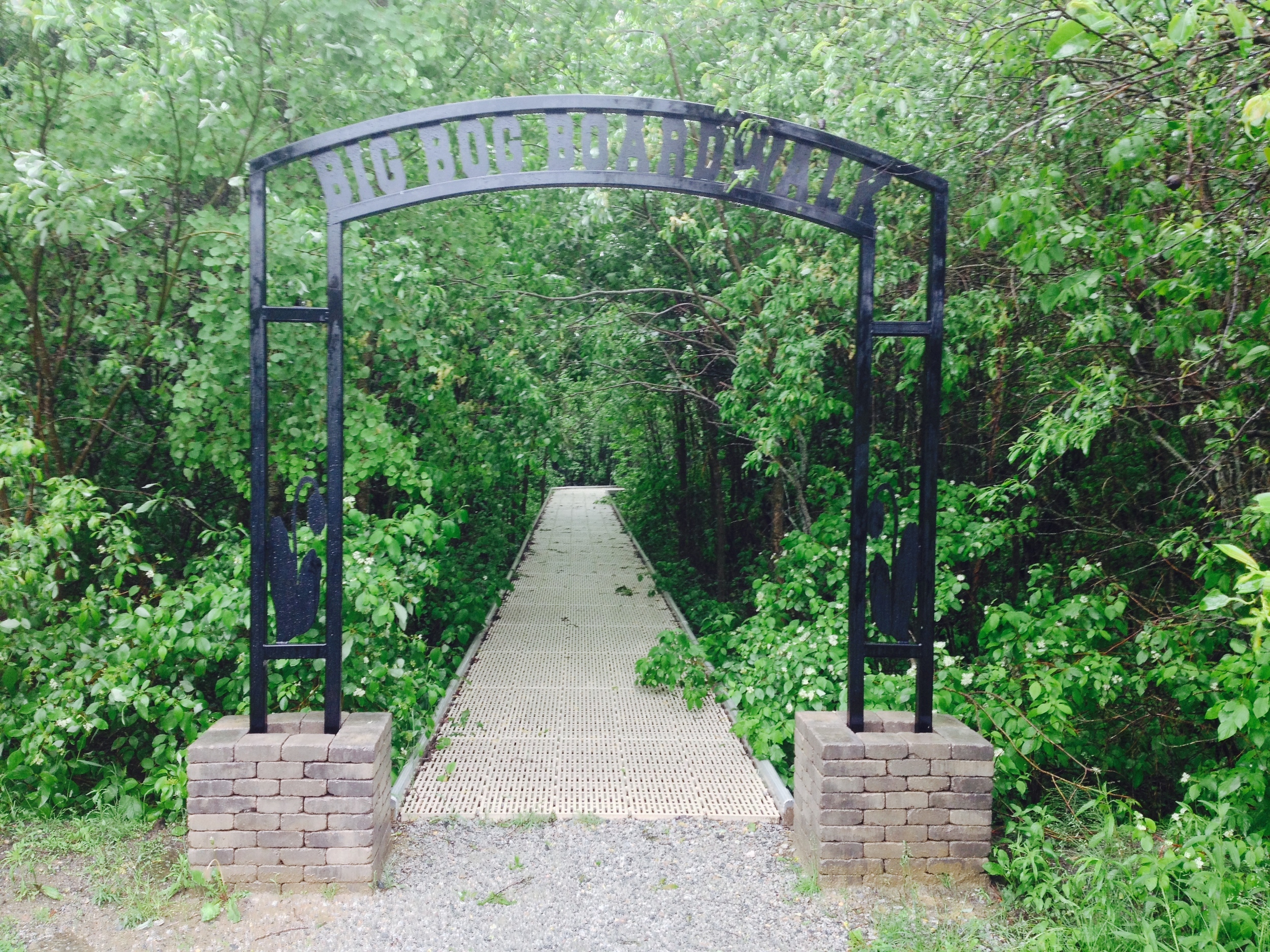
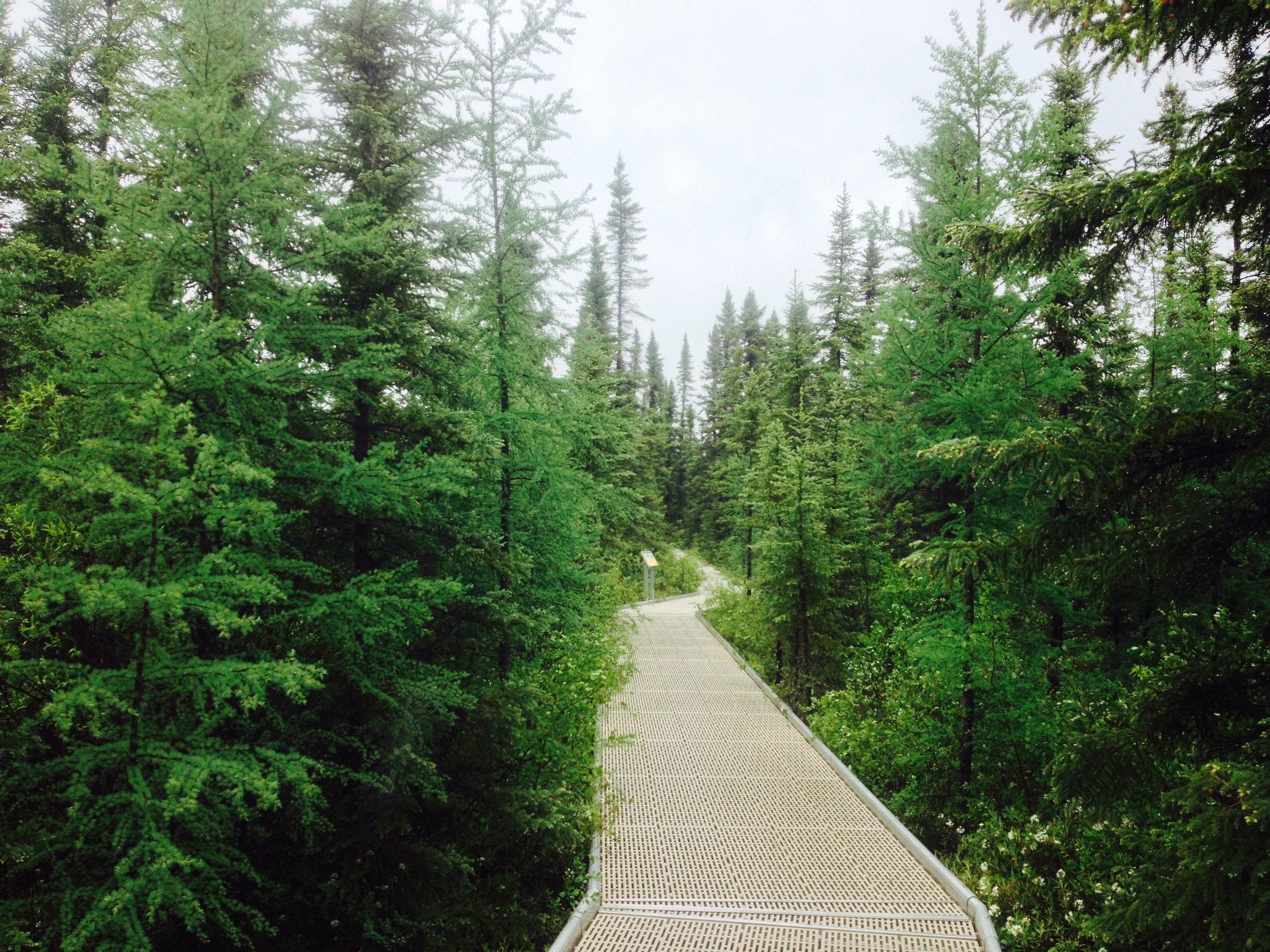
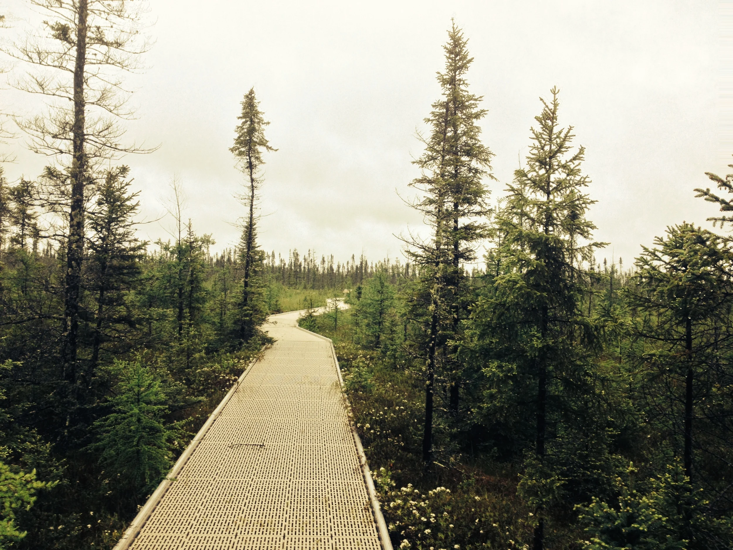
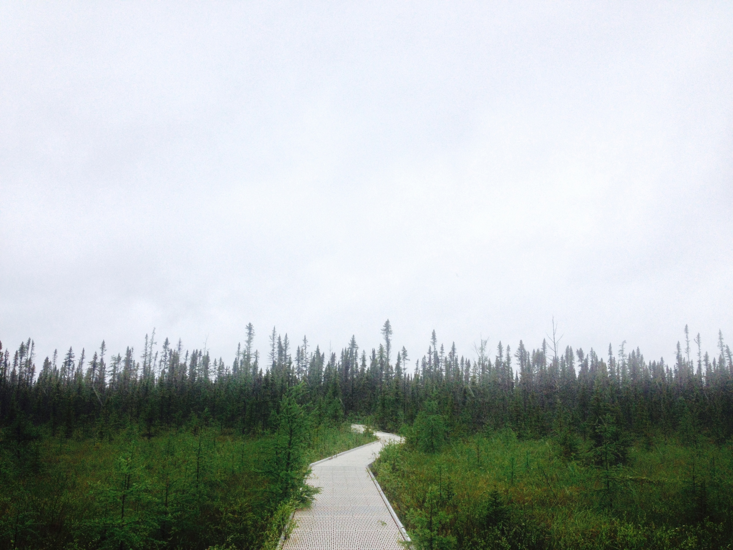
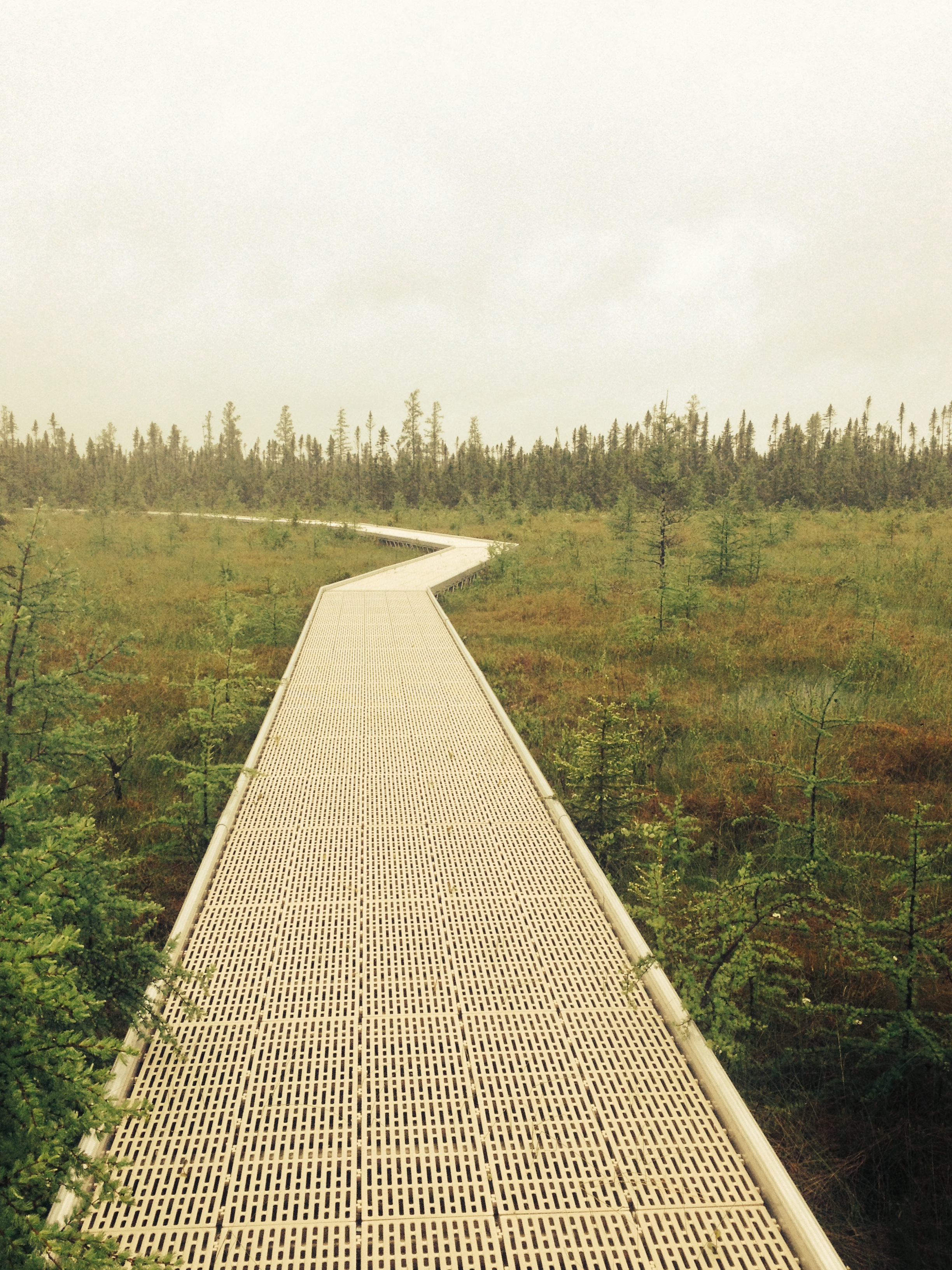
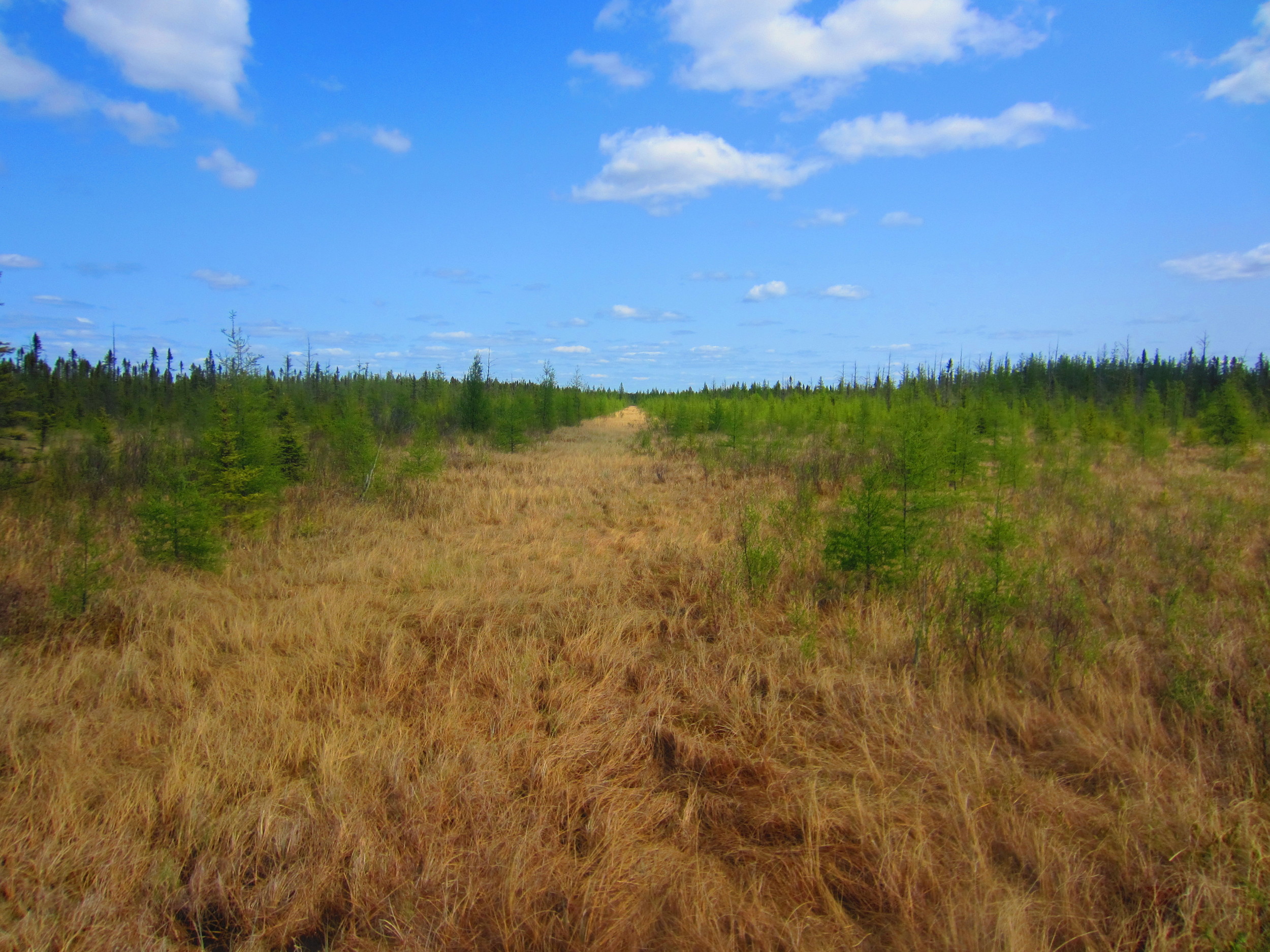
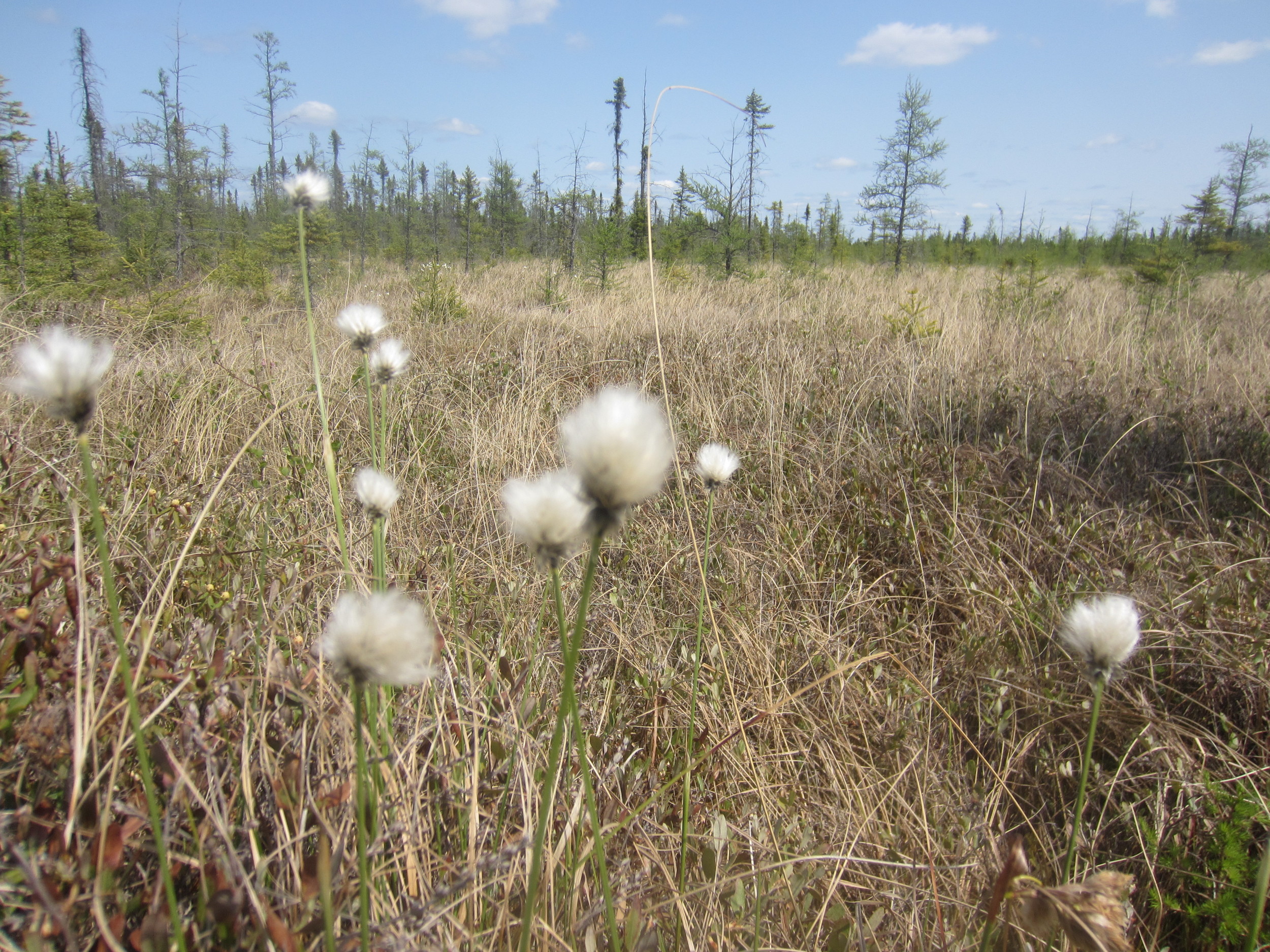
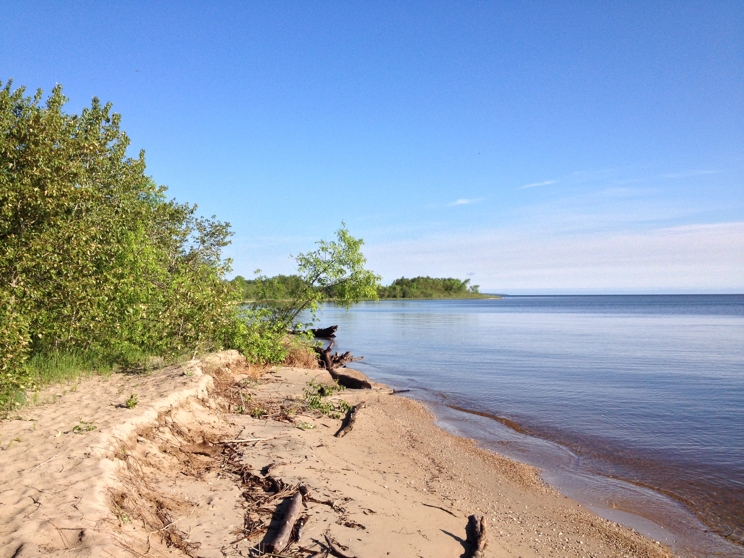
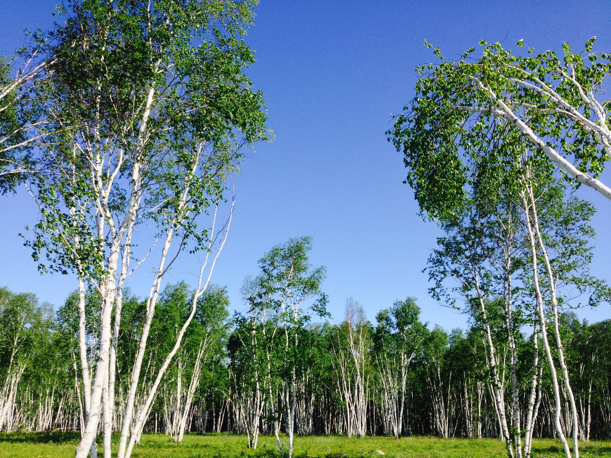
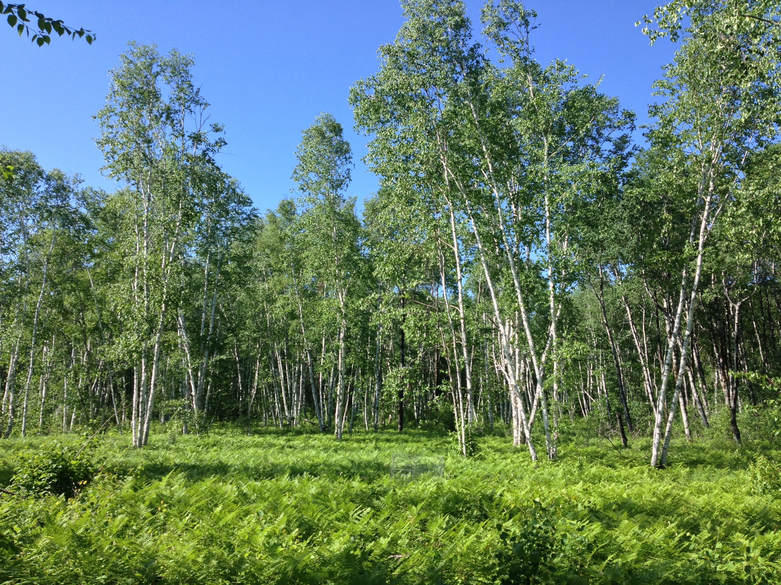
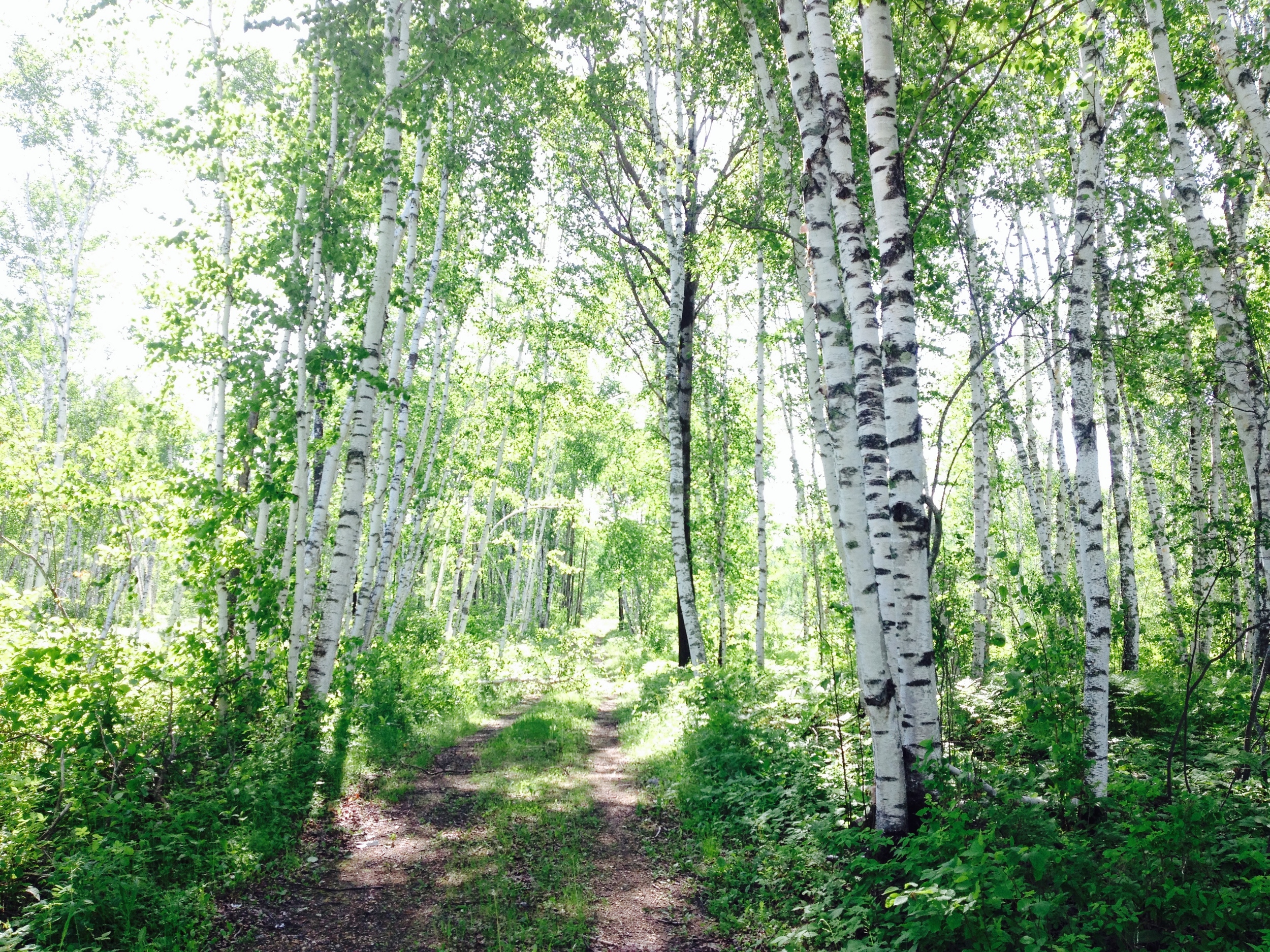
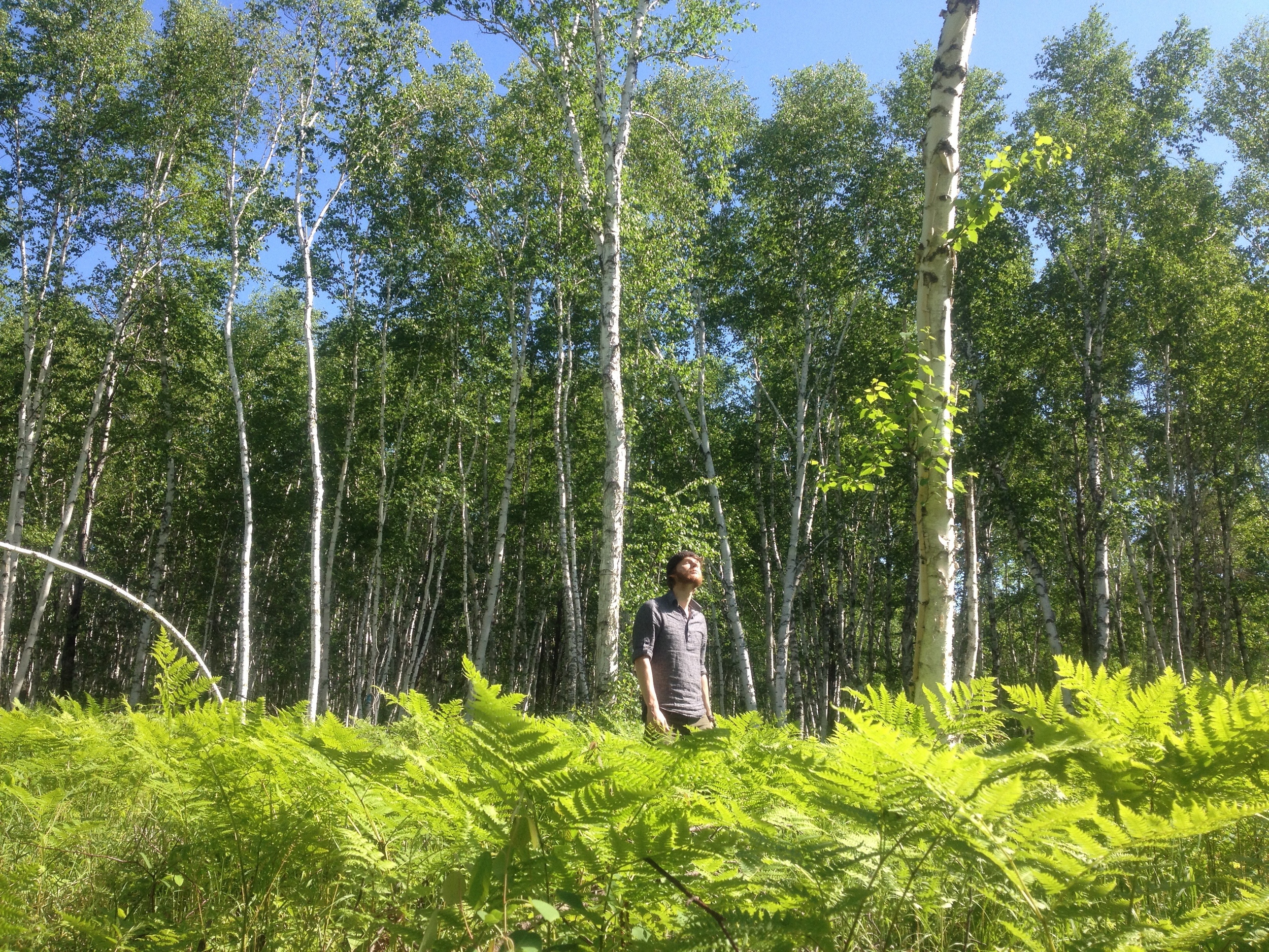
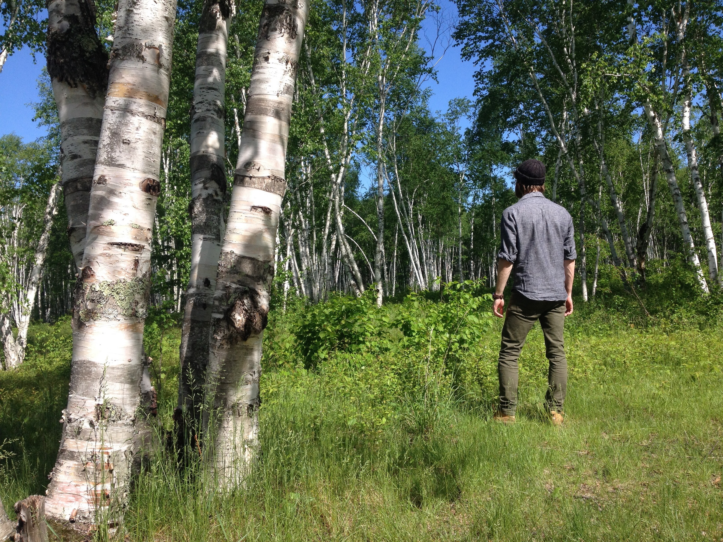
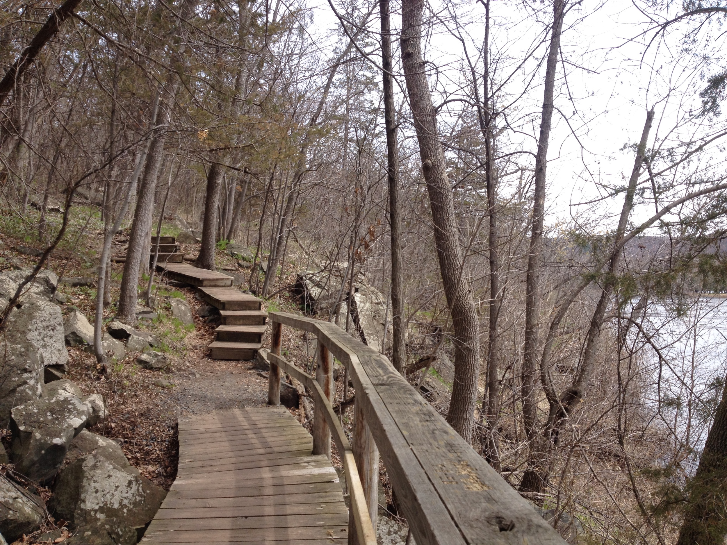
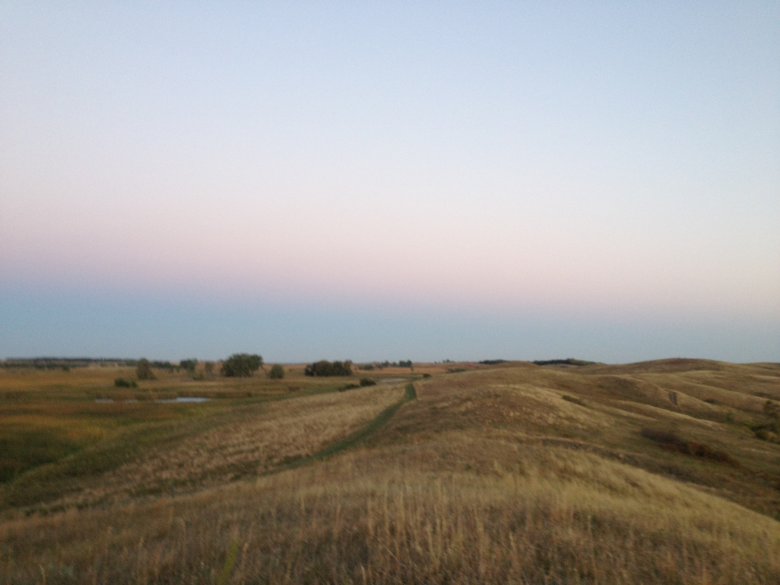
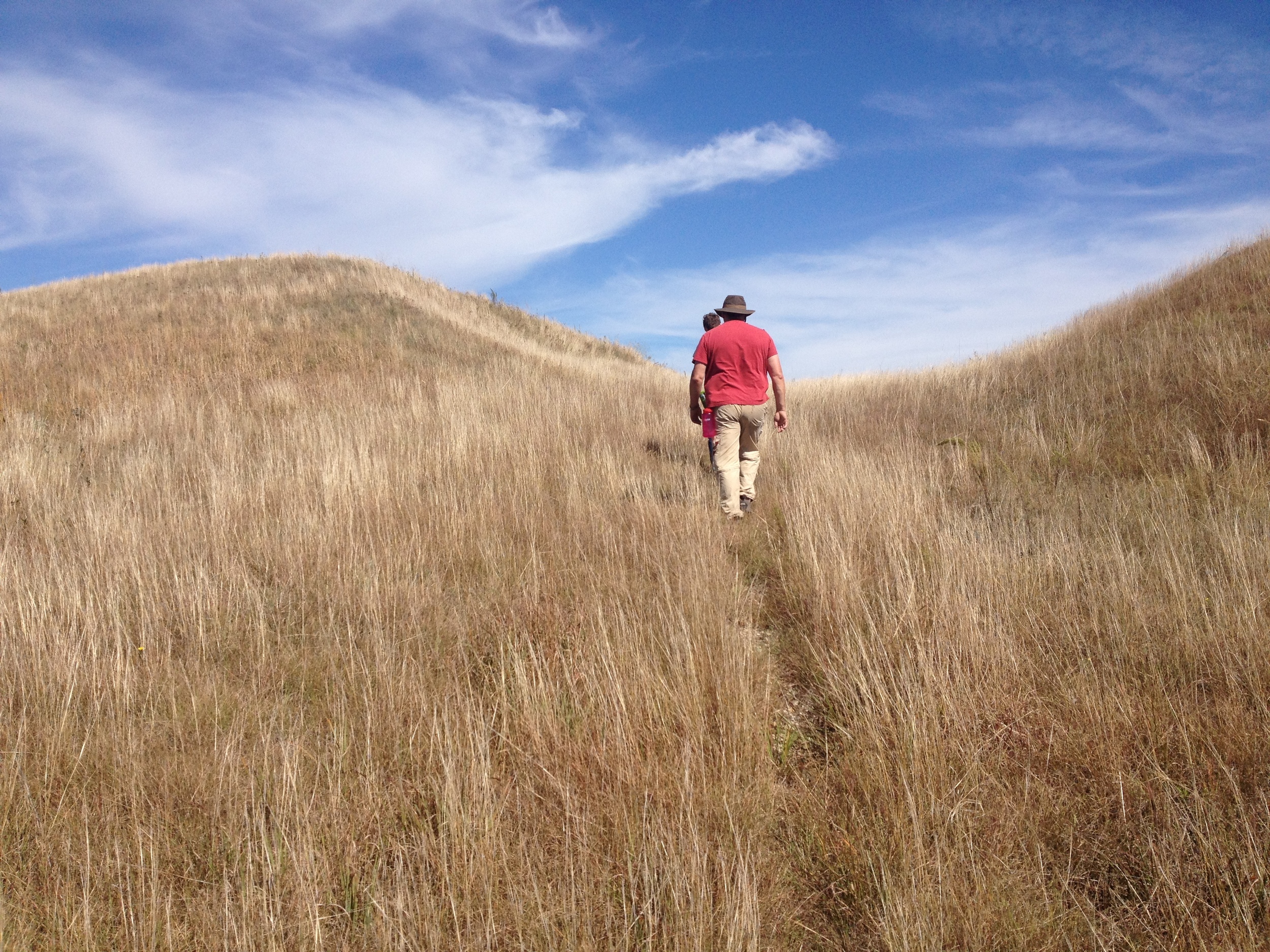
The Hike: The hiking club trail follows a one mile (2 mile round trip) boardwalk that penetrates into the heart of the Red Lake Peatland known as the Bog Walk. For such a short and easy hike, the bog walk offers an excellent sampling of what you can find in a bog. It's also about as far as you'll ever be able to just walk into a wetland like this - scientists reach the most of the bog only by helicopter. The path starts on a bog island which quickly transitions into a stunted spruce/tamarack forest. You'll get to see where the government tried and failed to drain the bog for agriculture. Keep your eyes on the sphagnum moss and blueberries that carpet the bog for rare orchids (there are over 40 species in the area), carnivorous plants like the pitcher plant and the sundew, or bog lemmings. I'm also convinced that if you were to hike it in the night (something I would be too terrified to do even if it was allowed), you'd see a Will-o-Wisp floating over its surface - although the bog cotton does a good imitation even during the day. 

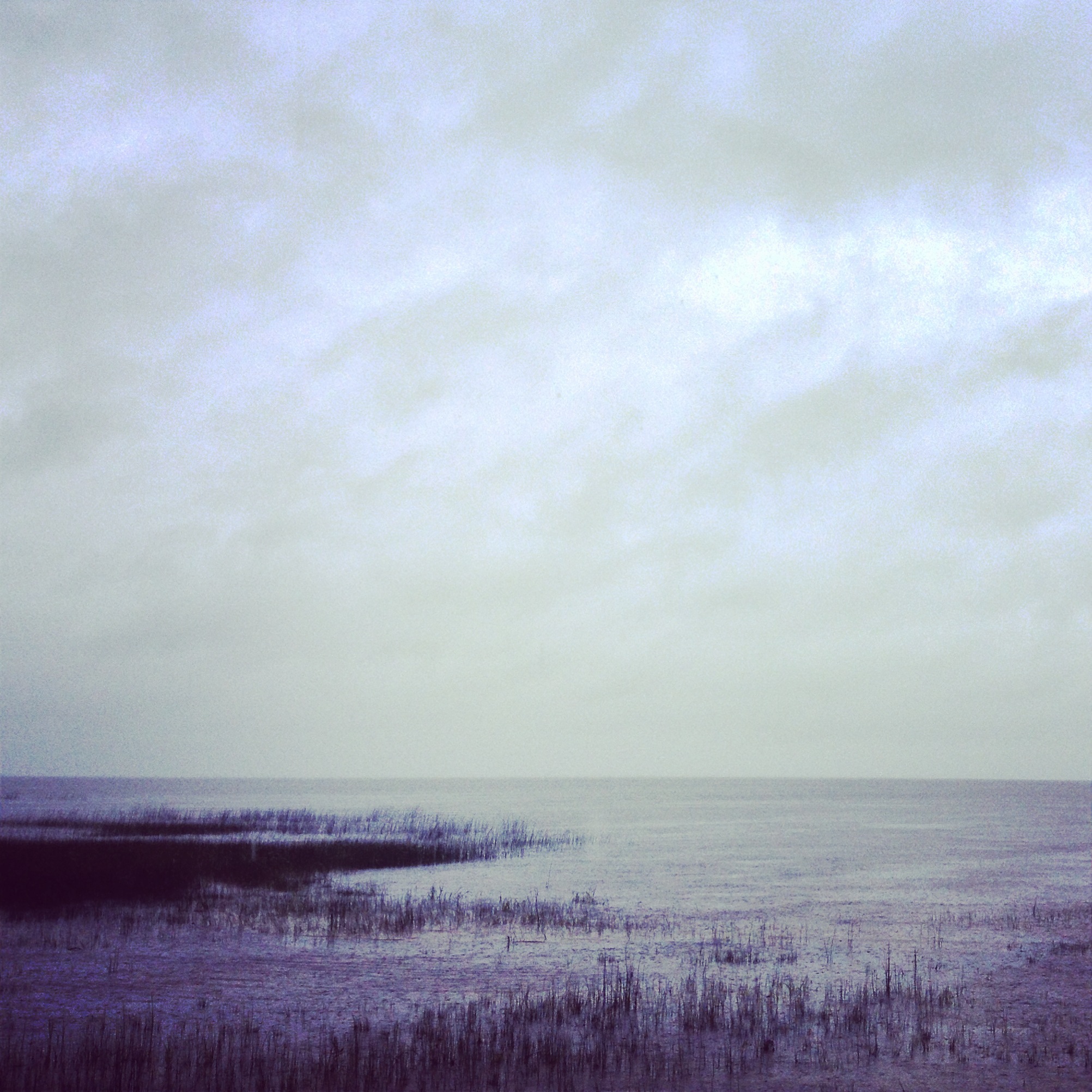
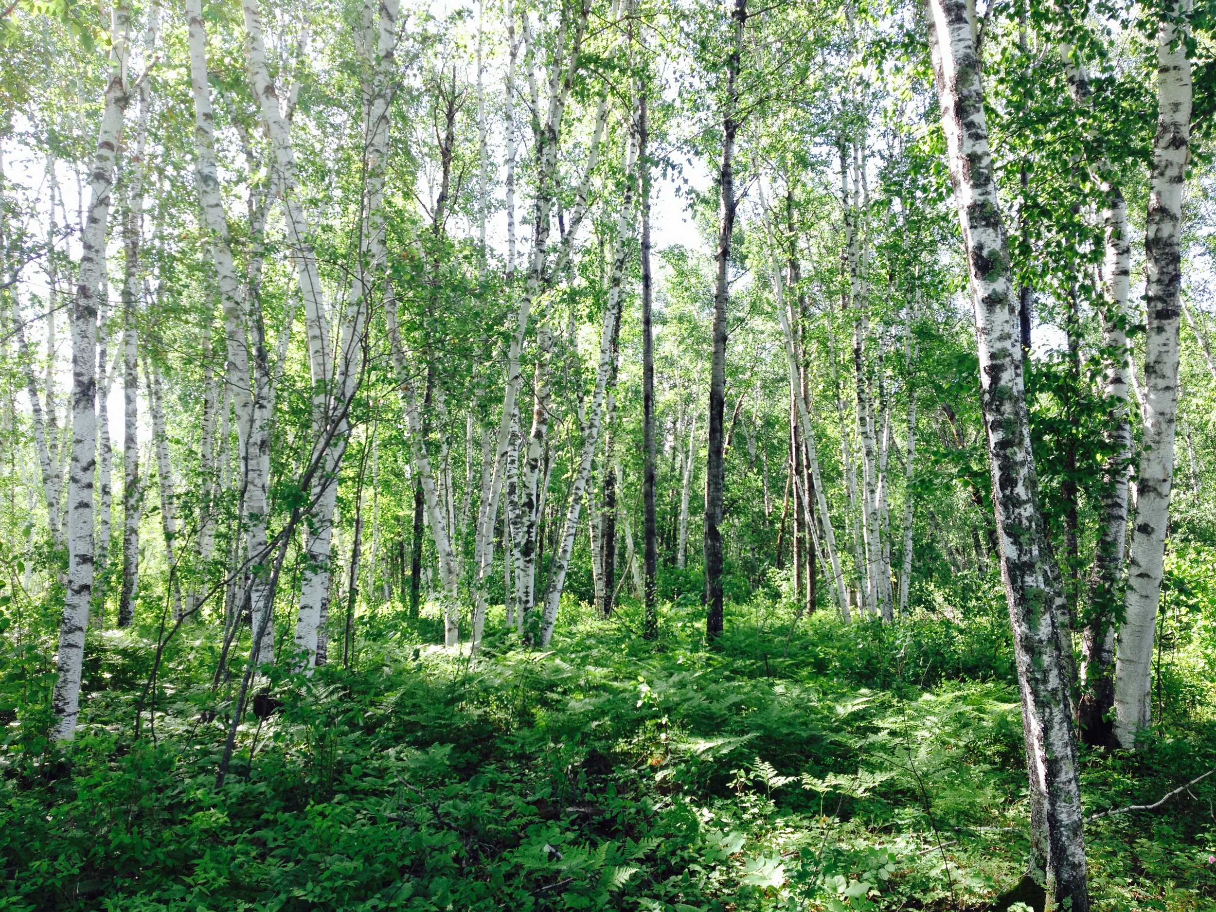
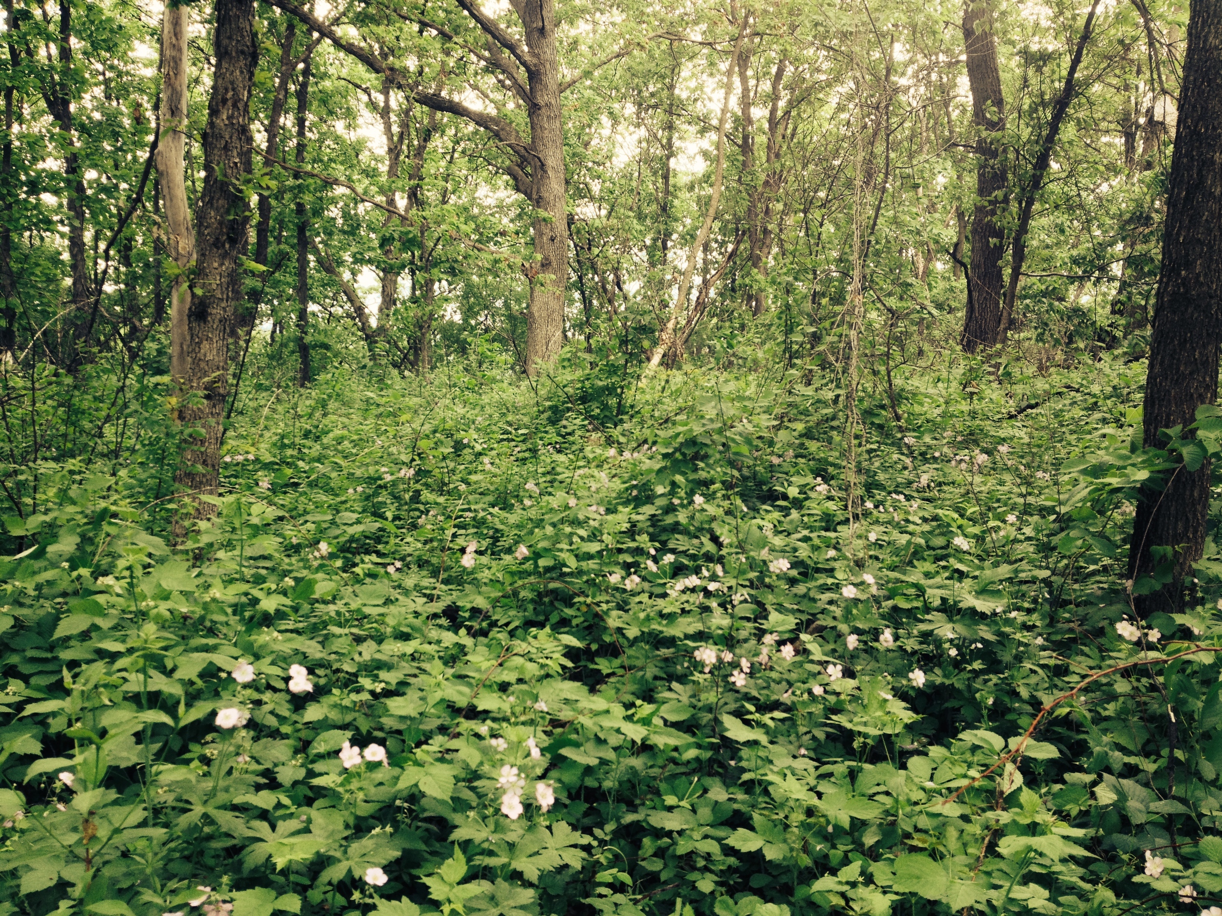
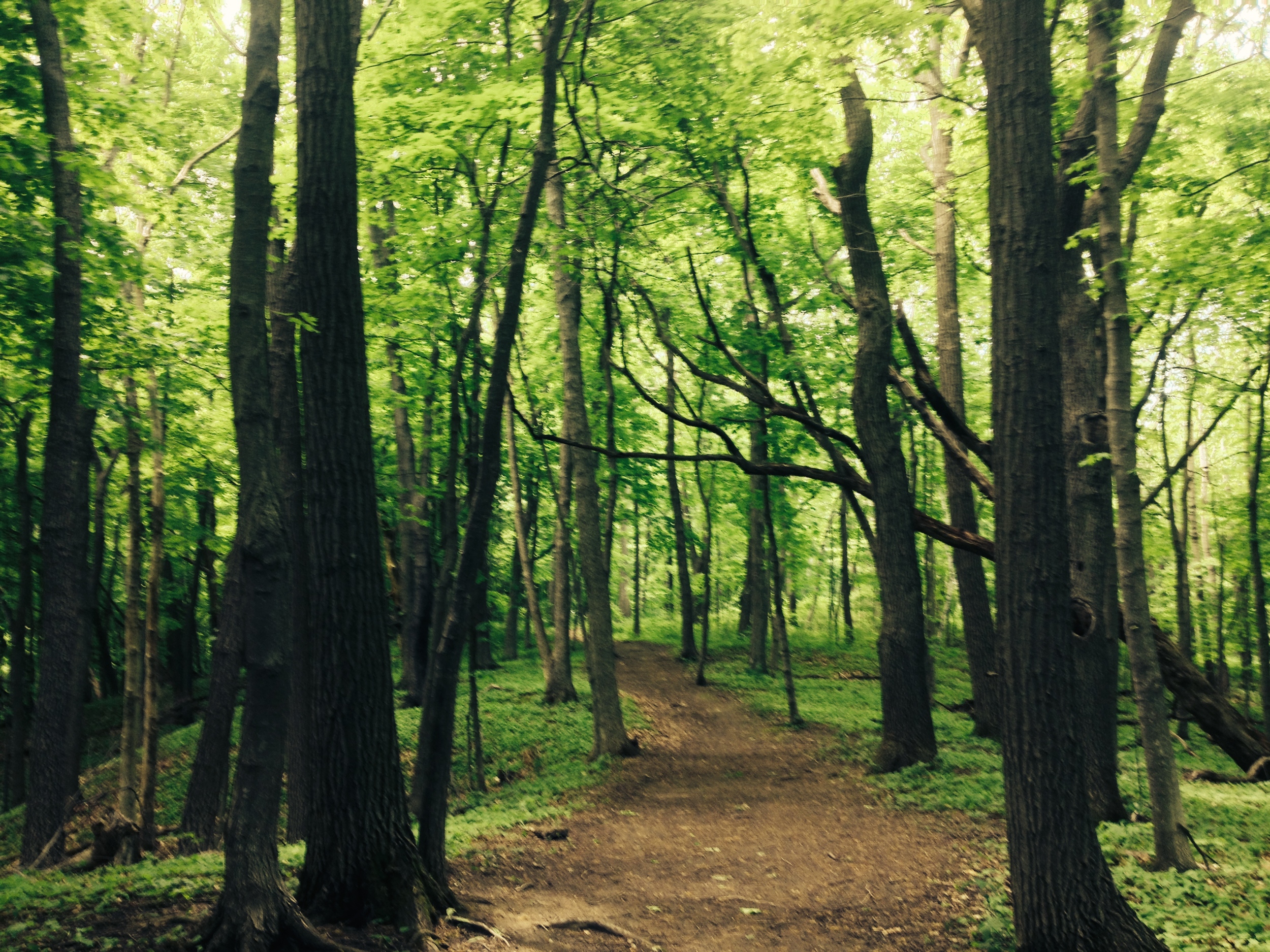
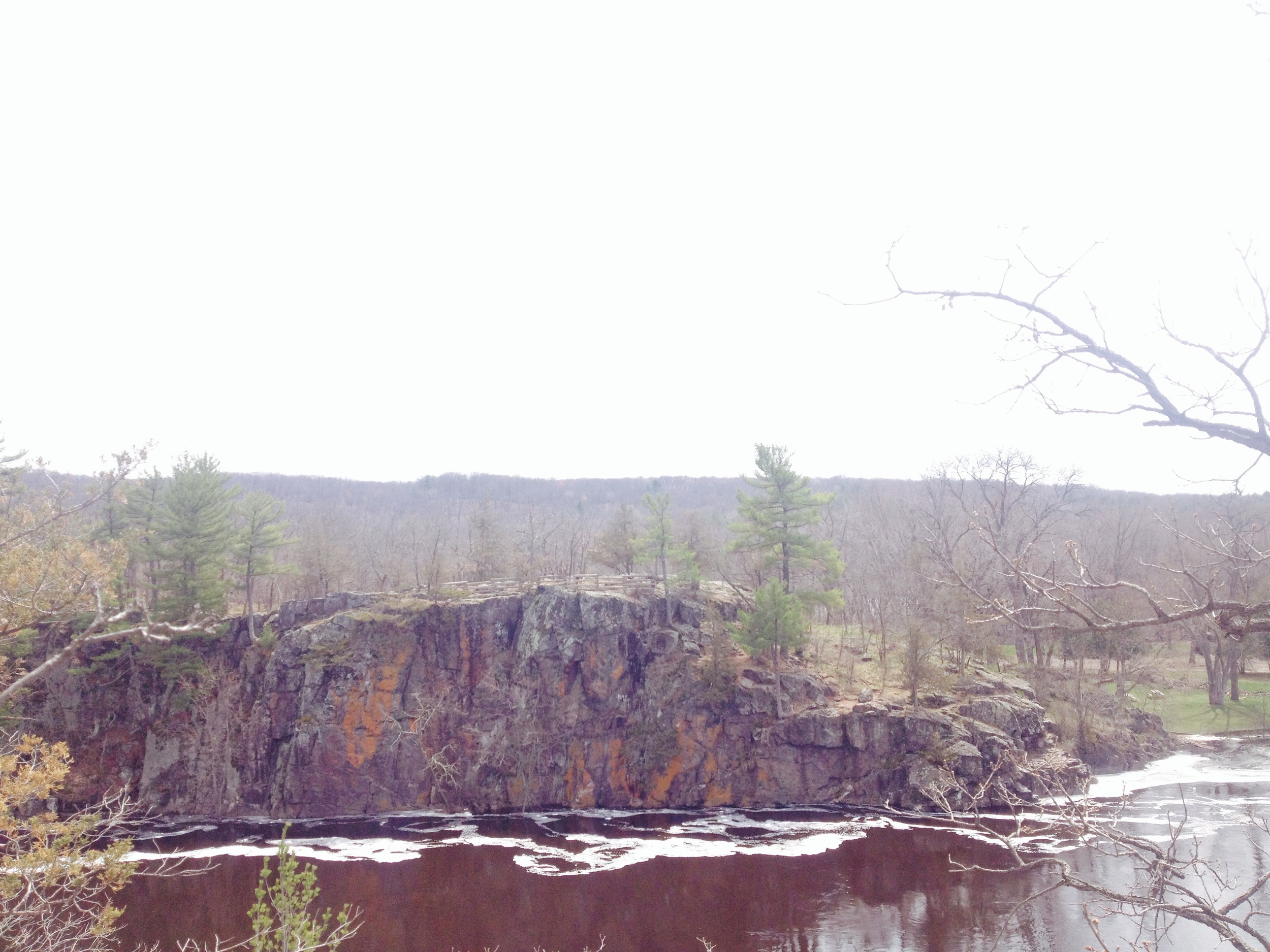
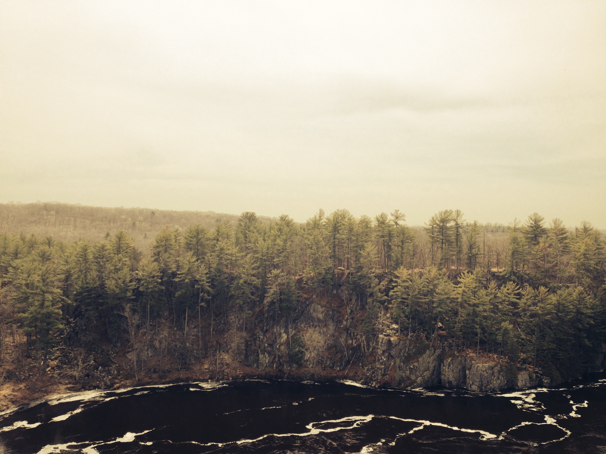
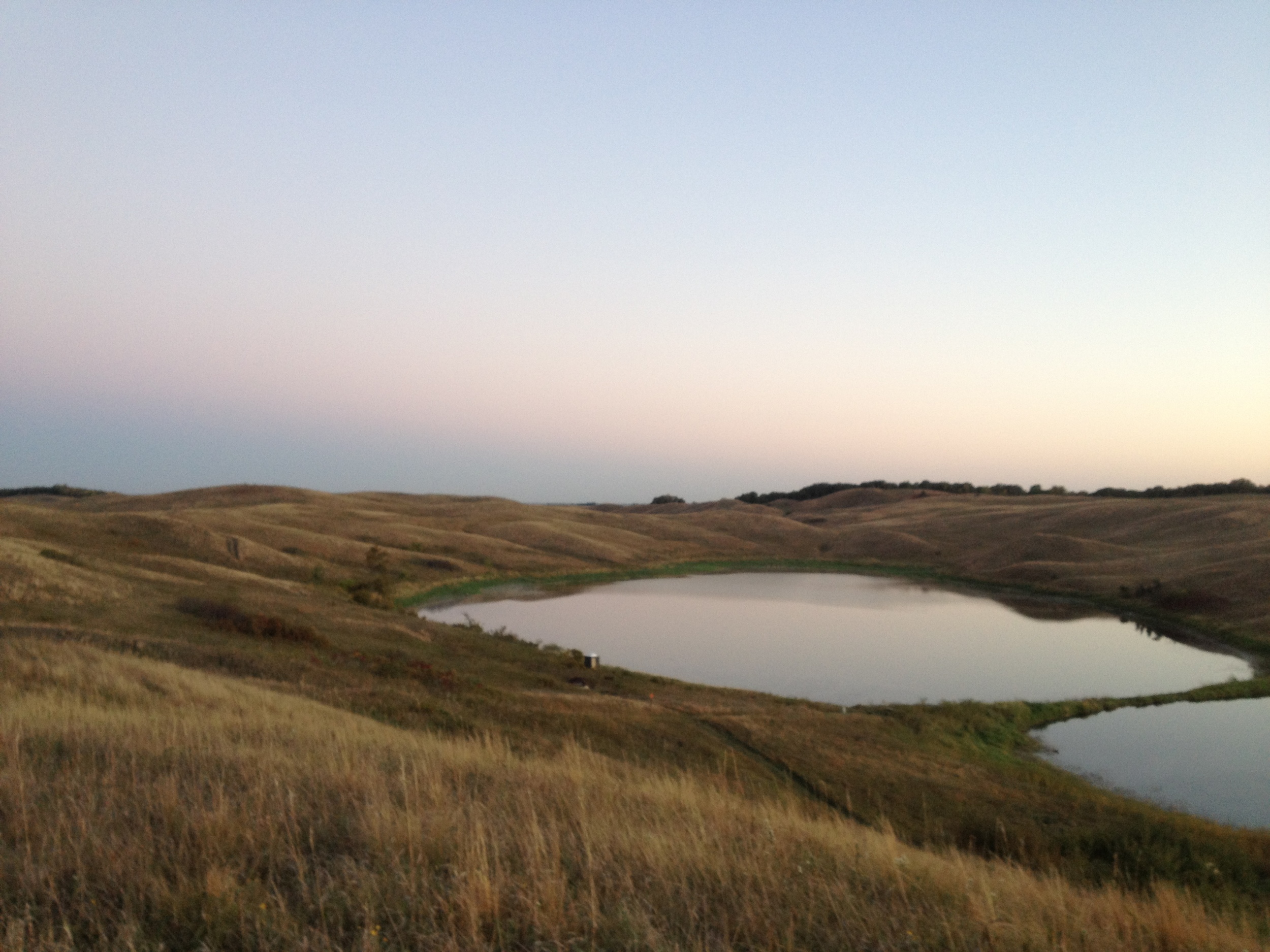
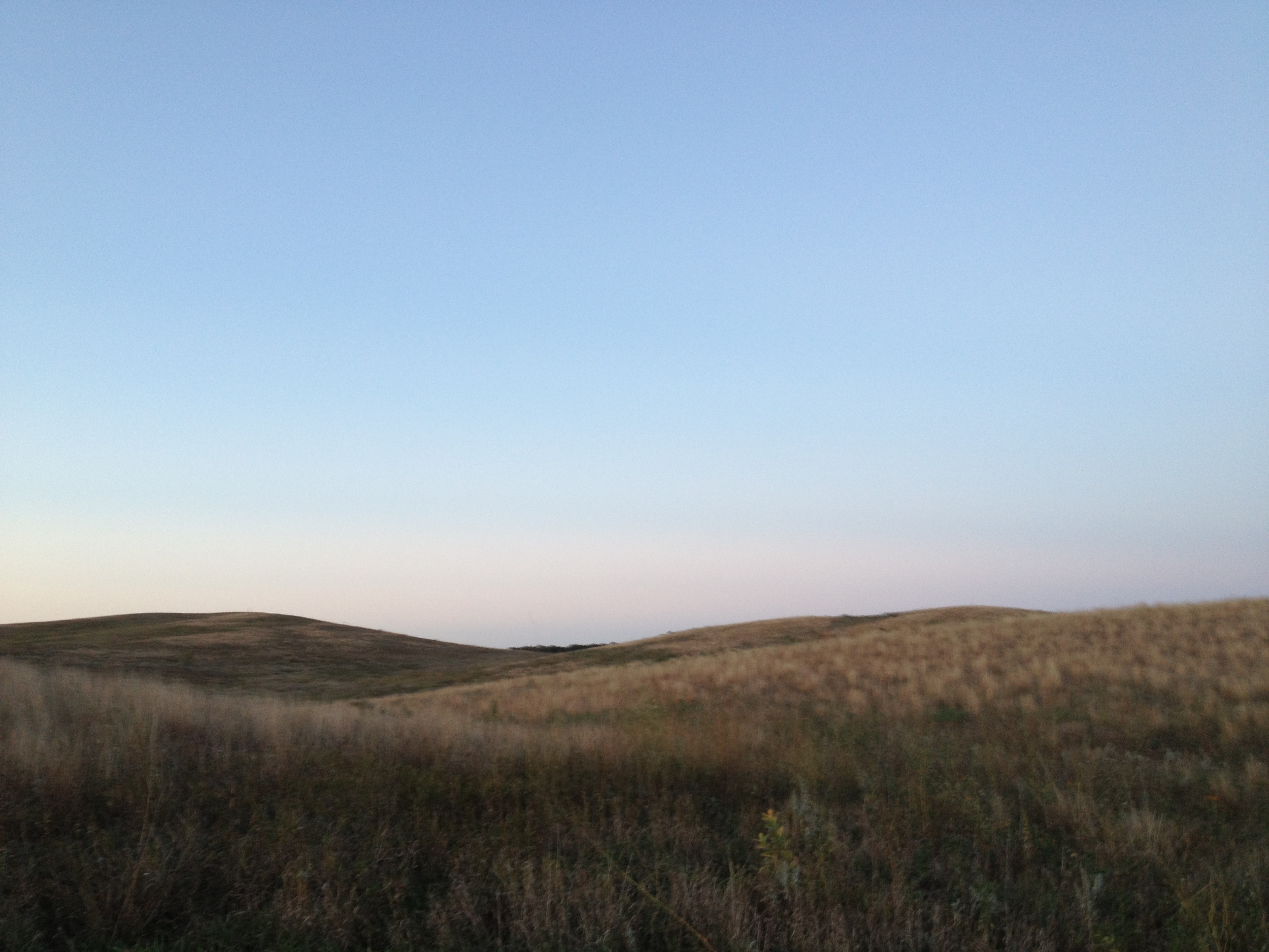
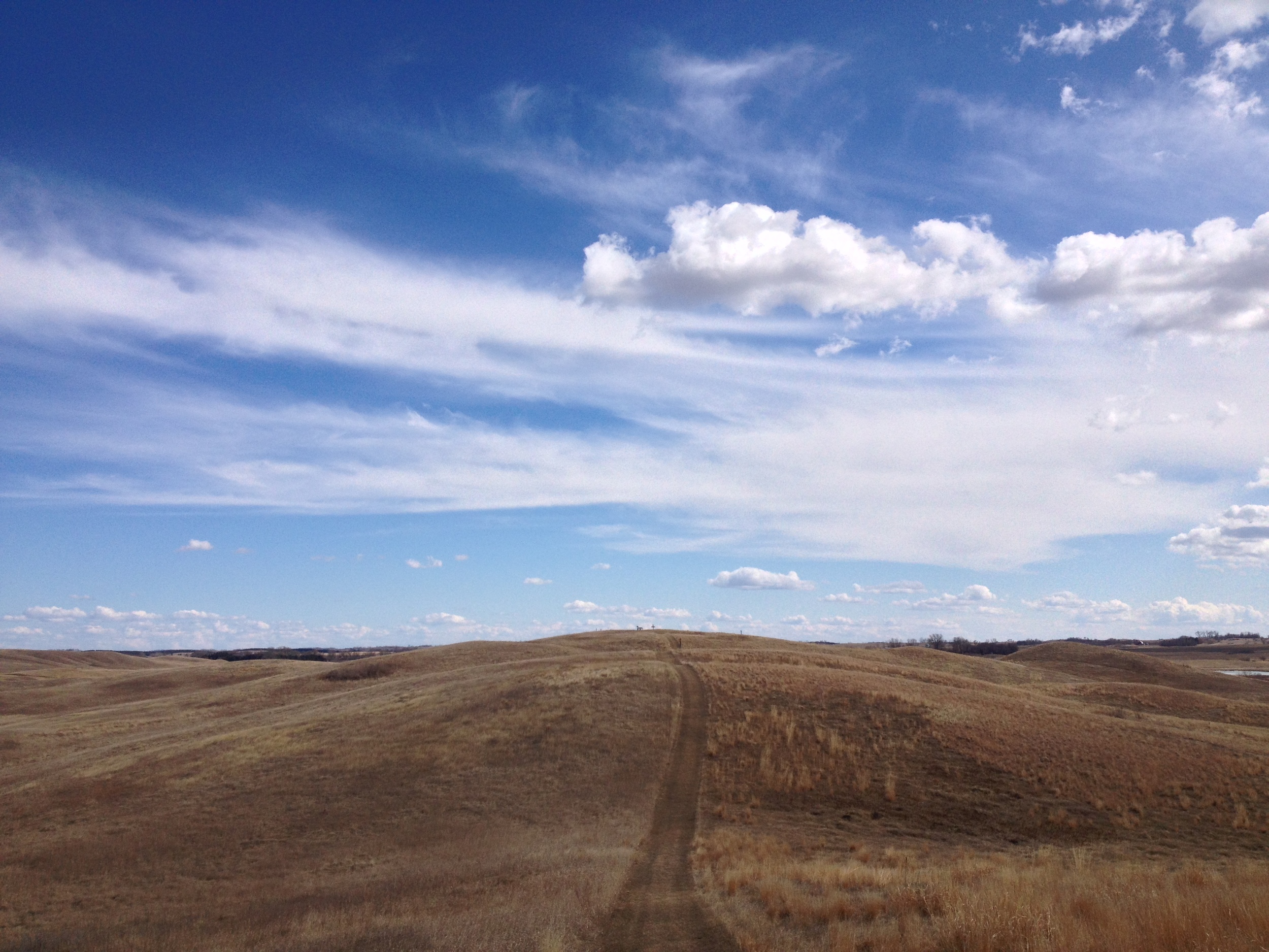
An eerie landscape at Big Bog State Recreation Area 

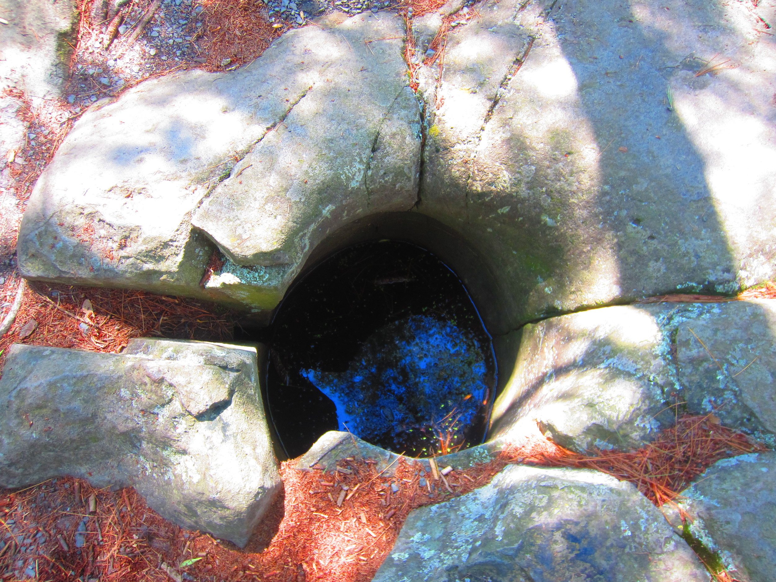
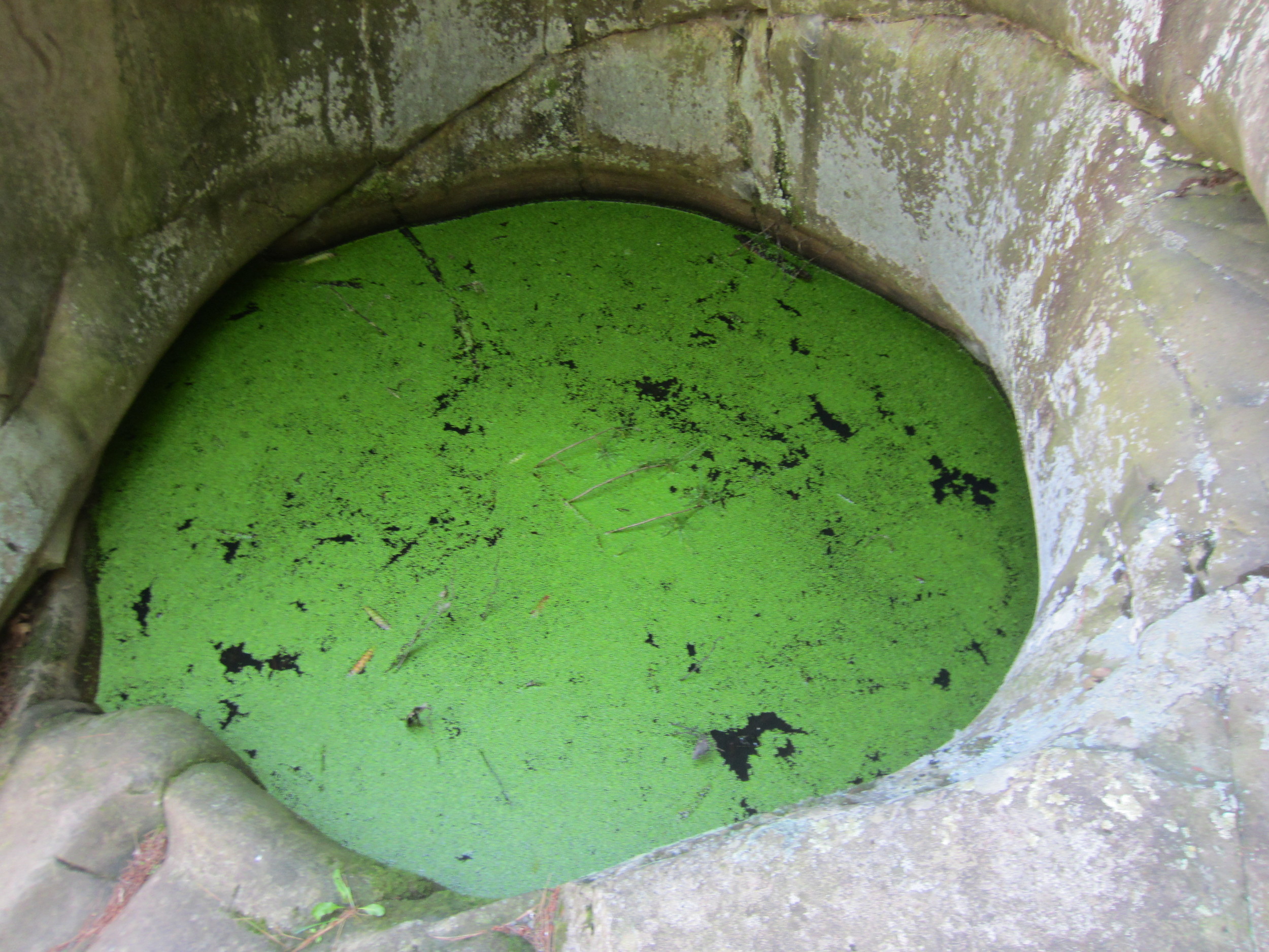
Normally I'm all for exploring off the beaten path, but in this case, I must advice against it. Not only is it damaging to the extremely fragile ecosystem, the bog is filled with hidden holes and flarks that could suck you many feet underground/water like a giant sponge where you would most certainly drown. 

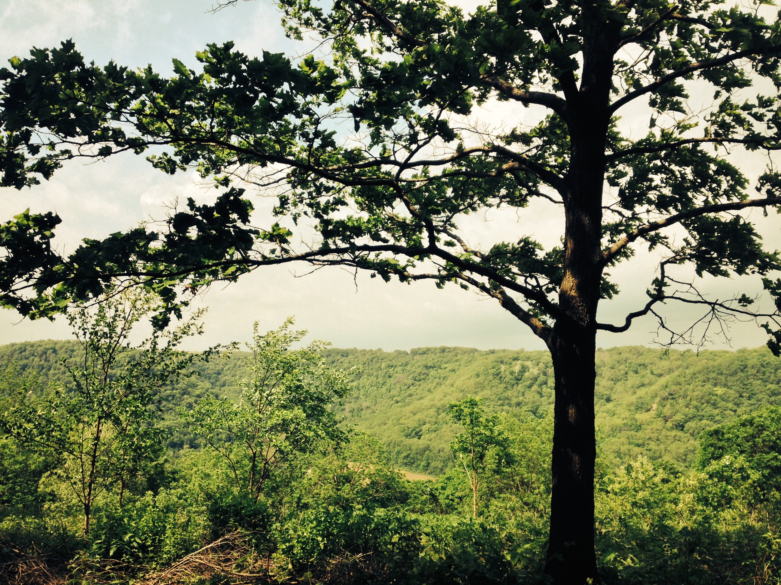
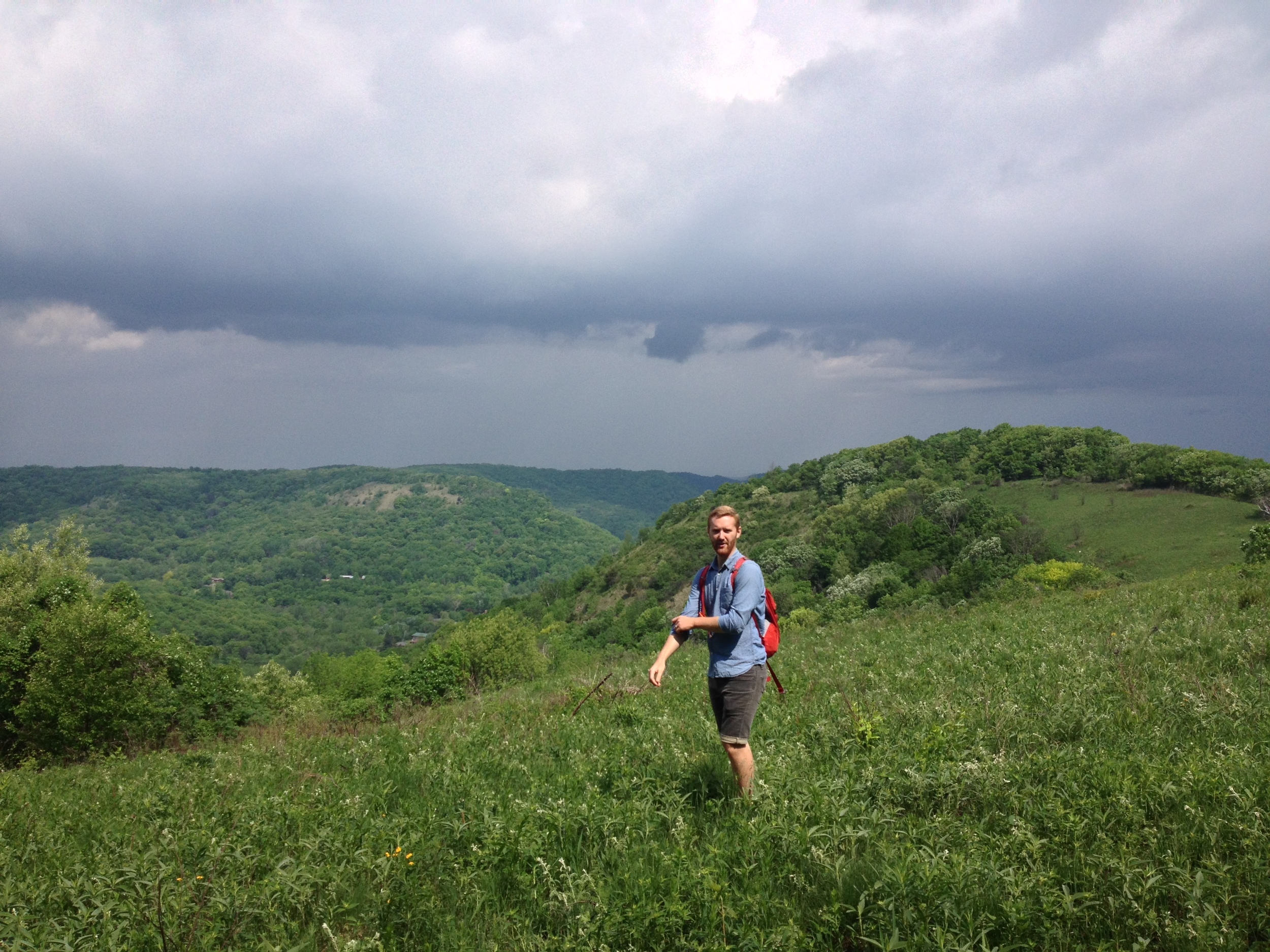
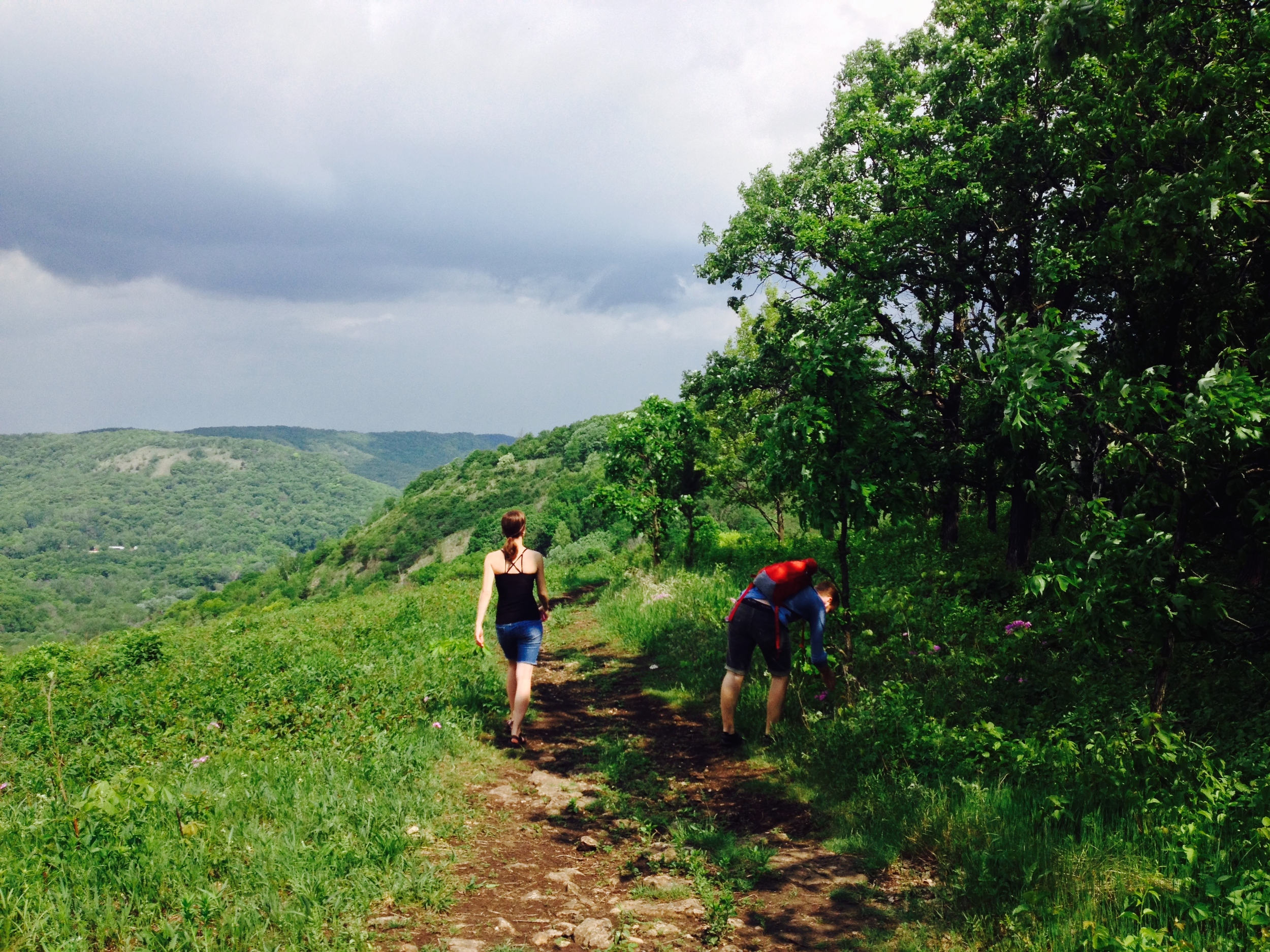
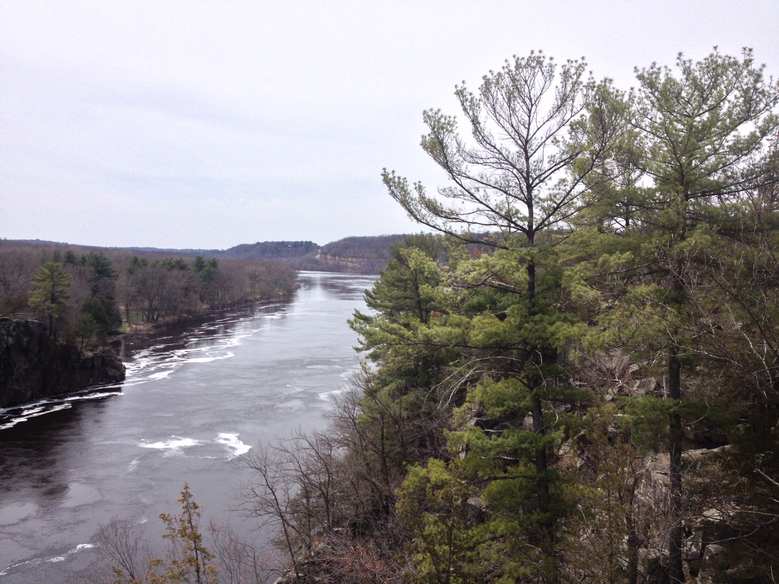
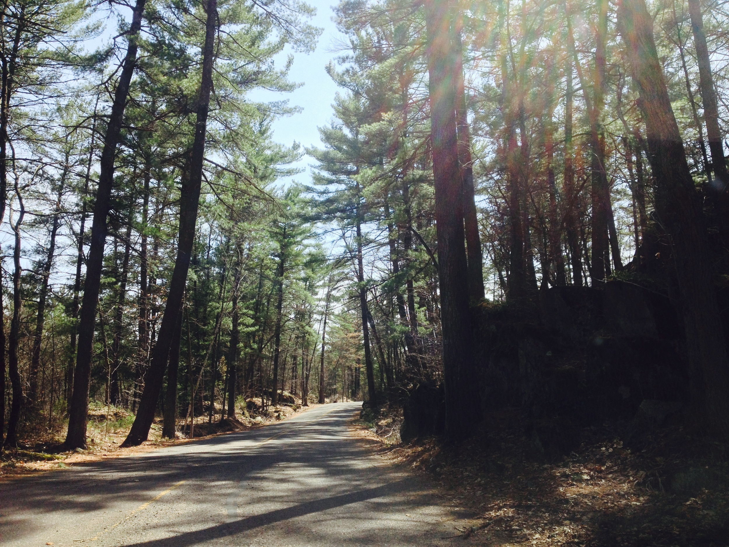
The Drive: This drive to Big Bog goes through Chippewa National Forest, which I wroth in great length on in this post. The drive is long, but scenic. Don't be afraid to make a few pitstops on the way - especially at the Lost 40 SNA or one of the National Forest recreation areas along the road. 

Miles Hiked: 71.8

Miles Driven: 3560

Arbitrary Rating: 5 Flarks/5 

Zippel Bay State Park

Birch Grove at Zippel Bay State Park 

The Park: Situations on the shore of Lake of the Woods, a massive 1700 sq. mile lake with 65,000 miles of shoreline and nearly 15,000 islands, Zippel Bay State Park has become a haven for fishermen angling for walleye, muskie, and even the occasional lake sturgeon on this inland sea. If you're not a fisherman, the state park is till worth a visit. One of only a couple parks located in the Aspen Parklands - a distinct ecosystem found only in Minnesota (within the United States, it does extend into Canada) - the park really does seem more like a park than a wilderness. The flora is essentially clumps of white birch with a undergrowth of ferns and poison ivy with occasional open shrubland. It's beautiful, but for one as allergic to poison ivy as myself, it's also treacherous. If you're feeling adventurous, Zippel Bay can also be a jumping off point to Minnesota's most remote state park. Garden Island State Recreations Area is 20 nautical miles out into the lake from Zippel Bay and is a day use only park with no hiking used mostly by fishermen and snowmobilers. 

The shore of Lake of the Woods at Zippel Bay State Park 

The Hike: This short 1.5 mile hiking club trail was one of the least inspiring I've yet explored. It's essentially a beach walk, following the shore of Lake of the Woods, then cutting into the marshy forest, then coming out again at the boat landing. While the lake is pretty, it can be best viewed just at the trailhead and the path so flooded and overgrown with poison ivy, I had to watch my feet so much, I didn't have time to appreciate the nature around me. The end of the trail leaves you at the rock pier with a little signal tower at the end. Take a minute to walk about and watch the fishermen head out into the lake for the day before retracing your wet and itchy steps back to the trailhead. 

The Road near Zippel Bay State Park 

The Drive: Zippel Bay is a long way from anything. About half way between the Twin Cities and Winnipeg, the closet towns are the small county seats of Baudette and Warroad. This drive is flat. When I drove out to the prairie near South Dakota, I thought that was flat, but I would describe that as rolly when compared to the unrelieved farmscape of Lake of the Woods county. The only topography is the curvature of the earth. But the sky is big, the clouds were white and puffy, and there was literally no one else on those back country roads. I discovered (accidentally) that my car can go 100 mph without too much trouble. I had to put on cruise control just to keep from accelerating wildly past the speed limit - there is very little to judge speed with outside your vehicle. I won't call this the most  boring part of the state, because everything has something entertaining, but it's not scenic byway. 

Miles Driven: 3680

Miles Hiked: 69.8

Arbitrary Rating: 3.5/5 

Great River Bluffs State Park

Overlooking the Mississippi River Valley at Great River Bluffs State Park 

The Park: Great River Bluffs State Park follows a series of impressive bluffs along the Mississippi River just south of Winona. For those of you who think Minnesota is as flat as a pancake (and I'm not saying there aren't places in the state that are), Great River Bluffs will be a surprise. King's and Queen's Bluff are like half hills, gradually rising from the valley only to end in a 500 ft cliff along the river. The highlights of the park are the spectacular views, overlooking both the Mississippi River to the east as well as the blufflands to the west. While the hiking club trail will bring you to the top of King's Bluff and give you great views of Queen's Bluff (unfortunately you can't hike on Queen's Bluff since it's a protected natural area), make sure you head over to the campground where a series of short walks will bring to three of the best overlooks in the park. 

The Hiking Club Trail at Great River Bluffs State Park at the top of King's Bluff

The Hike: The 2.5 mile hiking trail begins at the King's Bluff trailhead. Beginning in a valley, the trail slowly rises through oak and birch forests, providing a number of vistas along the way. As you reach the top of the bluff, the forest thins and you'll find yourself hiking through shrubby oaks and prairie grasses. This change in environment is all the warning you get before you suddenly hit the edge of the bluff. King's bluff is open, so you'll be rewarded with breathtaking views of Queen's Bluff, the Mississippi, and the Blufflands on the Wisconsin side of the river to one side and the rolling Minnesota Blufflands on the other. Take a minute to appreciate to cool breeze of the summit. When heading back, you can go straight back to the trailhead, or explore some of the other trails in the area that bring you through picturesque sumac groves, pine forests, and open fields. 

The hills of the Blufflands at Great River Bluffs State Park 

The Drive: When visiting Great River Bluffs State Park, it's worth it to take the scenic route. From the Twin Cities, take U.S. Hwy 61 down to the park along the river. It'll take you through some of the oldest and most iconic town in the state including Red Wing, the home of Red Wing Boots, Lake City, the birthplace of waterskiing, and Winona, where you'll get your first view of the giant bluffs. However, as beautiful as the Minnesota side is, on your way back, take the Great River Road National Scenic Byway on the Wisconsin side of the Mississippi. Recently named one of the best road trips in America, the road winds through quaint Wisconsin river towns, beneath towering bluffs, and beside one of the most interesting stretches of the Mississippi river along its entire length. Along with the North Shore Scenic Byway on Lake Superior, this is one of the most beautiful drives in the state. 

Miles Driven: 3317

Miles Hiked: 68.3

Arbitrary Rating: 4/5

Interstate State Park

The St. Croix River at Interstate State Park 

The St. Croix River at Interstate State Park 

The Park: Situated on top of a series of craggy bluff, Interstate State Park is a small park (281 acres) that offers amazing views of the St. Croix River gorge. The park is regionally known by rock climbers as an excellent place for beginners to test their skills on the bluffs and cliffs in and around Taylor's Falls. With a pine forest ecosystem usually only found a hundred miles north of the park, the lichen encrusted rocks and spring wildflowers offer the Northwoods experience without the long drive. As with most parks in the state, water is central to the Interstate experience. Rent a canoe and drift down the St. Croix to another nearby park or challenge yourself by taking a raft or kayak over the series of rapids that gave the town of Taylor's Falls its name. In addition to the hiking and boating and climbing at the park, visitors - including myself- are most impressed by a series of glacial potholes along the river. Many of the potholes are no bigger than a basketball, but some, like the Devil's Parlor, are much larger and include stairways, natural bridges, and pools. 

Wisconsin's Interstate State Park is right across the river and is worth checking out too (in fact, I'd say it's probably better than Minnesota's Interstate State Park if I wasn't so fiercely loyal to the North Star State). The bluffs are higher in Wisconsin and offer better views of the river and the park also offers a more extensive system of trails to explore. 

Trout Lilies at Interstate State Park 

The Hike: The 3-mile hiking club trail runs from the main park entrance, along the river and bluffs, to the pothole area and Taylor's Falls at the far side of the park. It's a fairly easy trail running through pine forest and rocky terrain. Because the entire park is a narrow stretch of land between the highway and the river, part of the trail is actually on the highway. While this kind of destroys your illusions of wilderness, the highway section does offer some of the best views of the river and the bluffs on the Wisconsin side. I had the privilege of hiking the park in the spring when the spring ephemera - wildflowers, fiddleheads, and the like - carpeted the forest floor, soaking in what sunlight they could get through the forest canopy. At the end of the hike, make sure you take time to check out the pothole area and clamber around the cliffs to find the best views of the river before turning around and tracing your steps back to your car. 

The Shelter where you'll begin the Hiking Club Trail at Interstate State Park 

The Drive: There are two routes to this park from the Twin Cities - both just over an hour drive. The first takes you up 35 to Hwy 8. This is a pleasant drive and the small towns, farms, and bison ranch along Hwy 8 are worth checking out if you never have before, but if you're looking for a scenic drive, I'd suggest taking first driving to Stillwater and then taking 95 up along the St. Croix River. Although this drive in north of true bluff country, the road is a scenic byway that winds up and down through forests, along cliffs, and by small river towns offering worthwhile views of the river along the way. And be sure to take advantage of the antiquing in Stillwater while your there (you know, if you're into that kind of thing). 

Glacial Lakes State Park

The prairie at Glacial Lakes State Park in the spring. View from a kame. 

The Park: Glacial Lakes State Park is more than just another prairie park - it is the prairie park. The 2,500 acre park is a series of rolling prairie hills formed thousands of years ago by receding glaciers. It is worth visiting the park for the prairie ecosystem alone, but if you are a geology nut, the park is a smorgasbord of unusually names glacial features. From kettles and kames to moraines and drumlins to eskers, varves, and erratics, this unique region of Minnesota is among the best places to learn about the way these giant sheets of ice shaped and molded the state in which we live. 

Camping: The park has about normal 40 drive-in sites in a more wooded section of the park, but if you're interested in truly experiencing the open prairie, let me suggest using on of the backpacking sites. Hiking (or horseback riding) just a mile or two away from the road allows you to pitch a tent next to kettle lakes, far from other campers, and with an uninterrupted view of the night sky. It's a little more work of course, but worth it in every way. 

The Backpacking Camp site by Kettle Lake 

The Hike: The 4.7 mile hiking club trail follows the northern ridge of the park. Begin at the Group Campground on the south side of Signalness Lake and follow the trail about a half mile for great views of the lake and across a small marshy boardwalk to the Oakridge Campgrounds. The trail leaves the campground on the east side and gradually rises to the ridge (or drumlin) providing a series of prairie vista's broken by oak forest, finally climbing to the highest point in the park. Loop around and head back your car. 

If you get a chance, the majority of the park's trails are south of the hiking club trail and wind through the heart of the prairie. The hike down to Kettle Lake and then up around to the northernmost kame (that's how glacier's say hill) is worth the extra time. 

The skies are always bigger in Glacial Lakes State Park

The skies are always bigger in Glacial Lakes State Park

The Drive: The road to Glacial Lakes State Park runs through a number of small towns along Highway 12 in central Minnesota and although every small town has one attraction or another of which they are particularly proud, one town has succeeded in creating what must certainly be one of the world's most important and iconic roadside attraction - that's right, Darwin, MN is home to the World's Largest Ball of Twine Created by a Single Person. I mean, if there is anything in this world worth pulling off the highway for, it is a giant, misshapen jute sphere. Francis Johnson's 12 foot, 9 ton creation has its own museum and gift shop - you know, so you can remember your visit to this wonder of the modern world. 

Total Miles Hiked: 62.8

Total Miles Driven: 2914

Arbitrary Rating: 5/5