The Historic Beaulieu House in Crow Wing State Park
The Drive: After driving for miles and miles on roads that are virtually empty, it is interesting how your conception of traffic changes. The drive from Savanna Portage to Crow Wing was mostly highway and it went through the busy vacation town of Brainerd.
I'm driving on cruise control and there is no one around. Perfect, I don't have to worry about anything. Then on the road way ahead of me, I see a solitary car. This is ridiculous, I think, I am going probably two mph faster than them so within the hour, I will be forced to pass them on this two lane highway. Then I see a car going two mph faster than me and even though they are a speck only visible behind me on long stretches of without curves, I feel as stressed as if someone were right on my tail. My entire driving experience is ruined and I can't think about anything except the inevitable moment when I'll actually have to be close to another vehicle. Of course, by the time I hit Brainerd, I'm back to my usual urban driving self and can once again zone out in the familiar security of highway traffic.
Boardwalk through the historic townsite of Crow Wing.
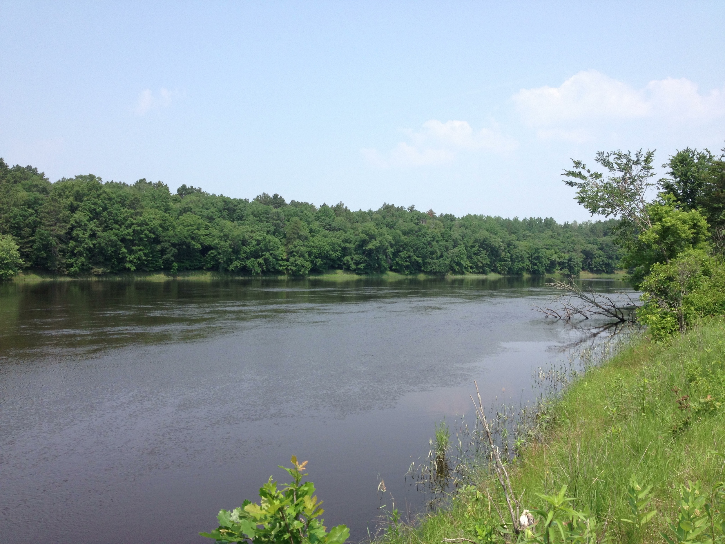
The Park: Situated at the confluence of the Crow Wing and Mississippi Rivers, Crow Wing State Park's biggest asset is its rich history as a town site and trading post on the Woods Route of the Red River Ox Cart Trail. The trail, which ran between Pembina on the Canadian, North Dakota, and Minnesota border and Fort Snelling, served as a major pre-railroad trading route through the state. Furs and agricultural goods traveled down in trains of up to a hundred oxcarts which purportedly sounded like a hundred untuned violins. It was said "a den of wild beasts cannot be compared with its hideousness." Despite the horrid cacophony that accompanied it, the oxcarts were the life blood of Old Crow Wing Village, bringing news, trade, and people to the otherwise isolated town. The tracks made by the oxcart can still be seen at the park over a hundred years after they became obsolete with the coming of the railroad.
Another view of the Beaulieu House in Crow Wing. The most photogenic structure in the park.
The Trail: The trail follows the old oxcart trail along the Mississippi through the townsite where you can see the historic Beaulieu House, the well site, and the locations of other important village buildings. It then climbs to the top of a bluff and gives a great (if mosquito infested) view of the confluence before wrapping around through a wooded path and back to the parking lot. The 2.3 mile trail also passes a cemetery and a historic mission site. It's a far cry from the wilderness hikes further north, but it makes up for it in history and culture, which, as a history major, suits me nearly as well.
Cumulative Miles Hikes: 15.3
Cumulative Miles Driven: 527
Hike Type: Pine Forest, River, Historic
Arbitrary Rating: 4/5


