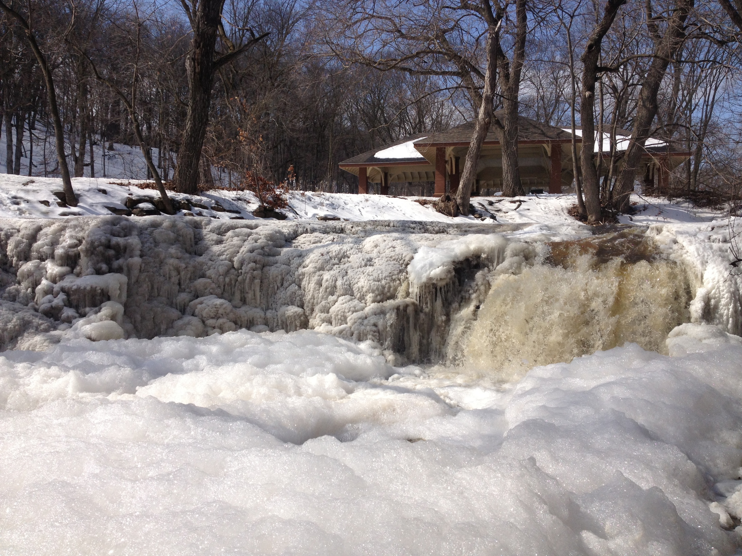
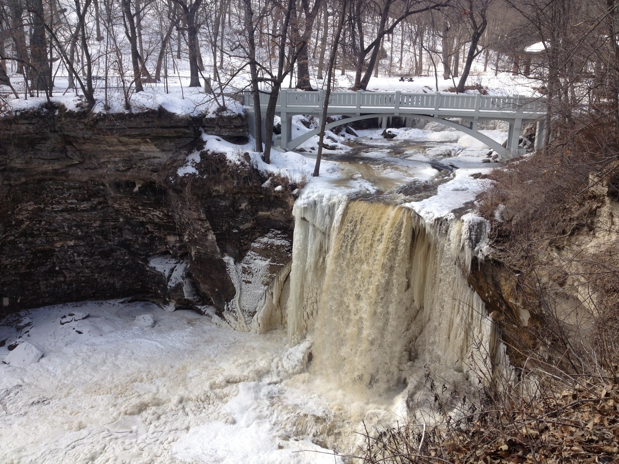
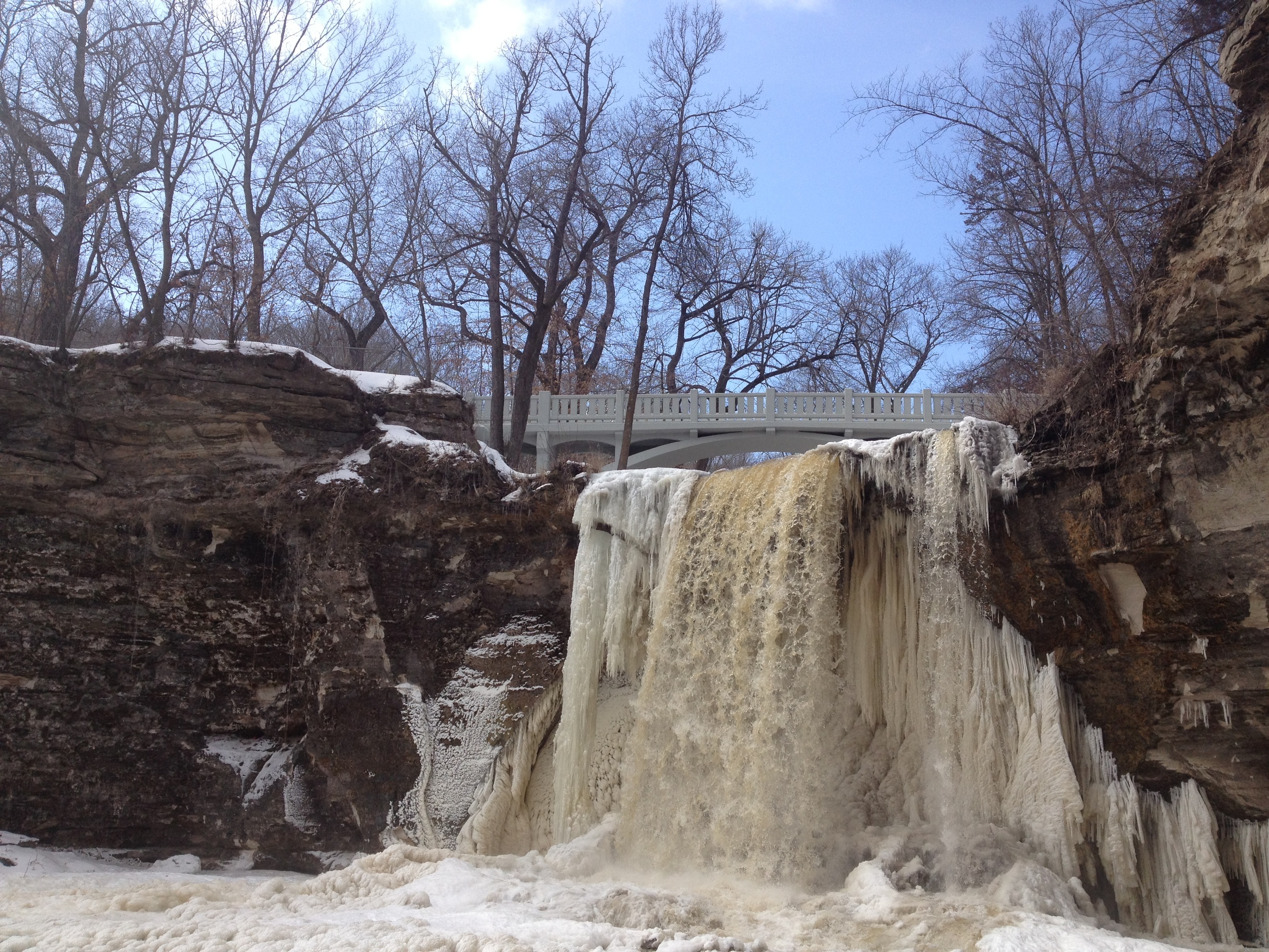
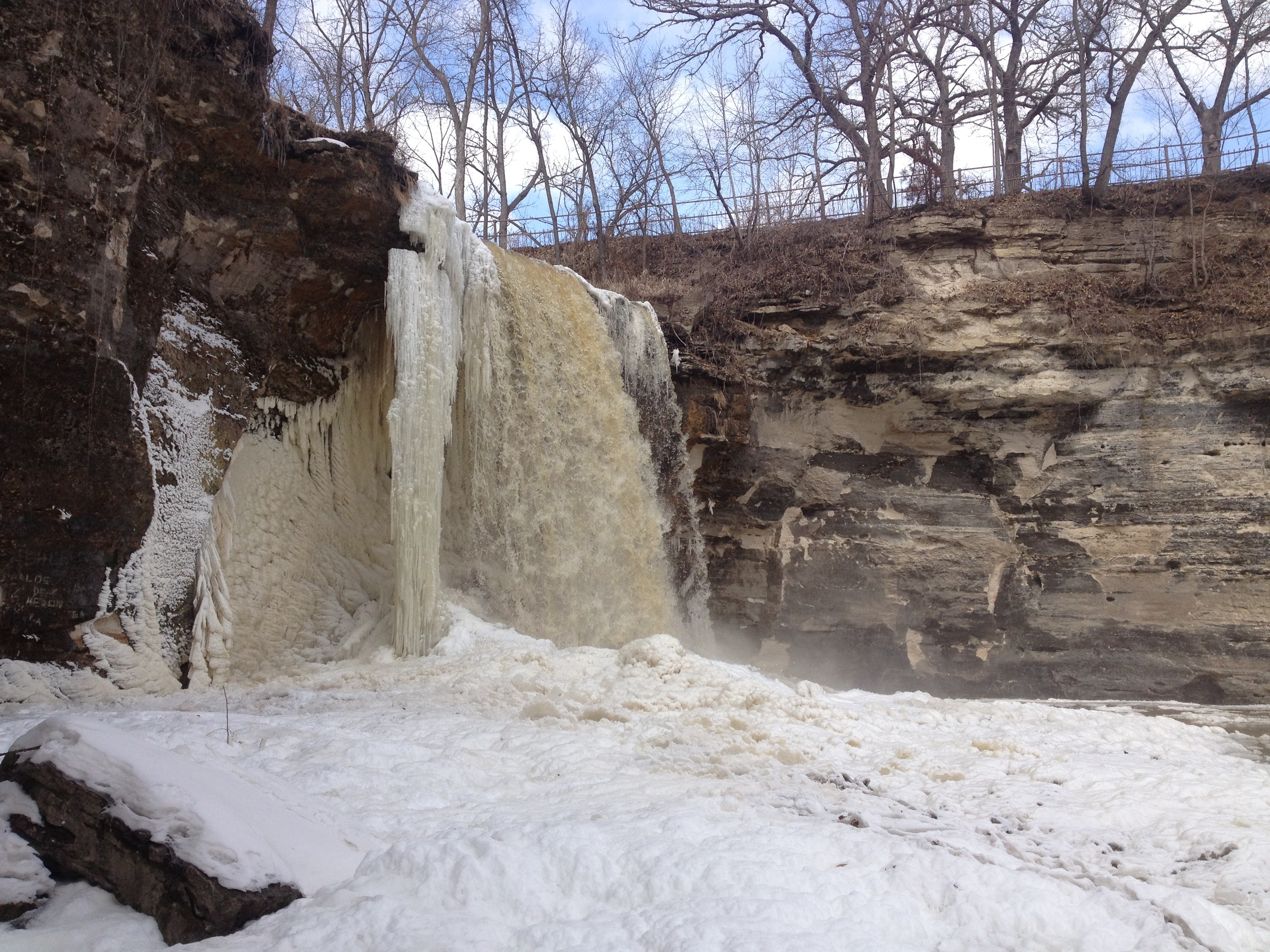
Minneopa Waterfall in Minneopa State Park outside of Mankato. Just thawing out.
Prairie Route: The Prairie Route is such named because all of the parks on the second major stretch of hiking are, surprisingly enough, on the prairie. I've attached a map of the route at the bottom if you're interested, but it basically covers eight parks in southwestern Minnesota, six of which I did in this trip. (Remember these route distinctions are, like my rating system, totally arbitrary and invented by myself as I go). It could also have been called the Farm Route since much more of the land I drove through was farmland than prairie
The Drive: Hwy 169 through the Minnesota River Valley is one of the prettiest drives in the state. It is the gateway to the western farmland and is scattered with the kind of prosperous river towns that you only expect to see in the movies (and are usually set in Wisconsin). The road truly dips down into the valley as you enter Le Sueur - presided over by an immense statue of the Jolly Green Giant. As I coasted down the hill, the river valley spread out before me, a patchwork of fields, forests, and floodplains, reminding me just how different this trip was going to be than the one I had just taken up north. St. Peter, with it's historical mainstreet, forest of steeples, and distinguished college on the hill was probably just copied and pasted from a Currier and Ives painting. Mankato is also a college town - an image reinforced by the bar to church ratio.
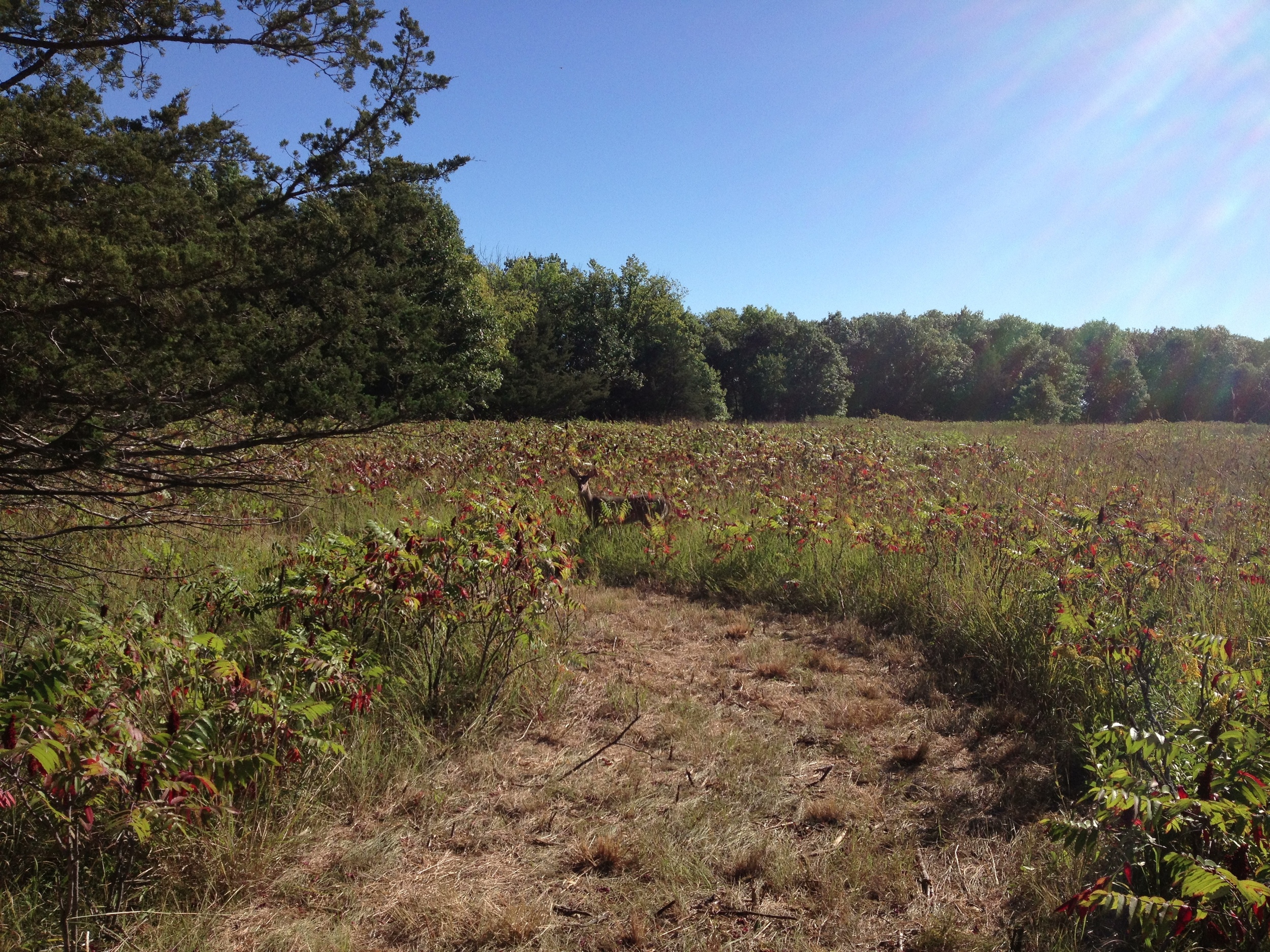
The hike was basically a loop through a giant field. But there are deer hiding in this sumac.
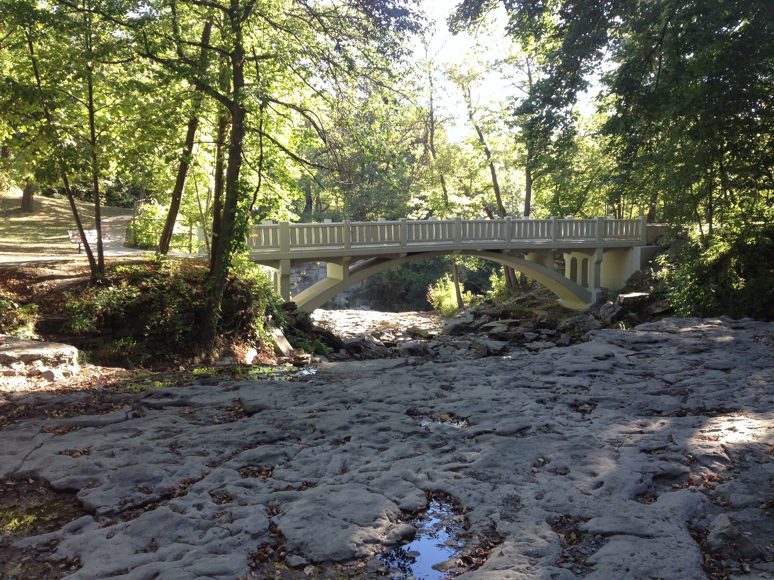
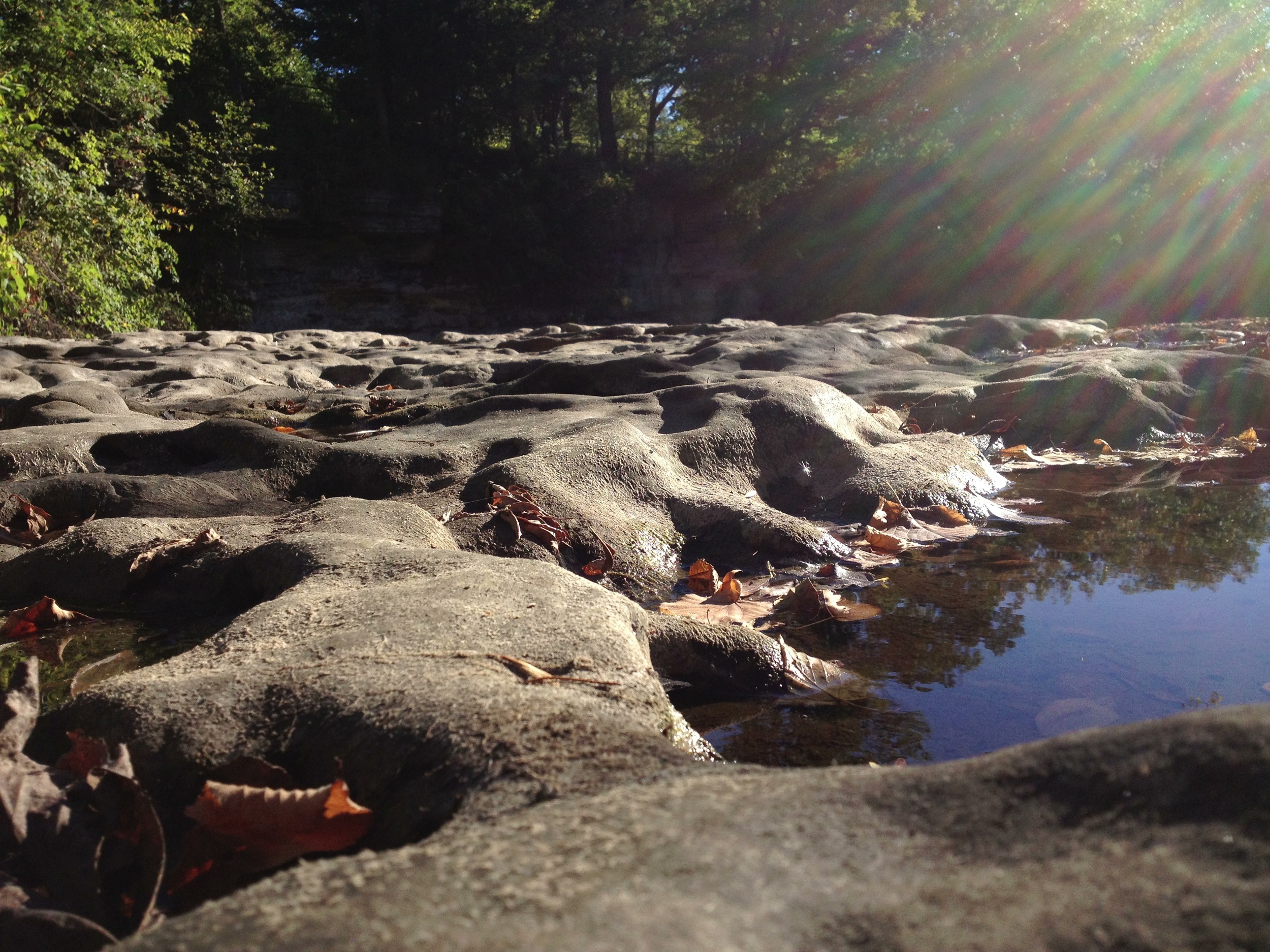
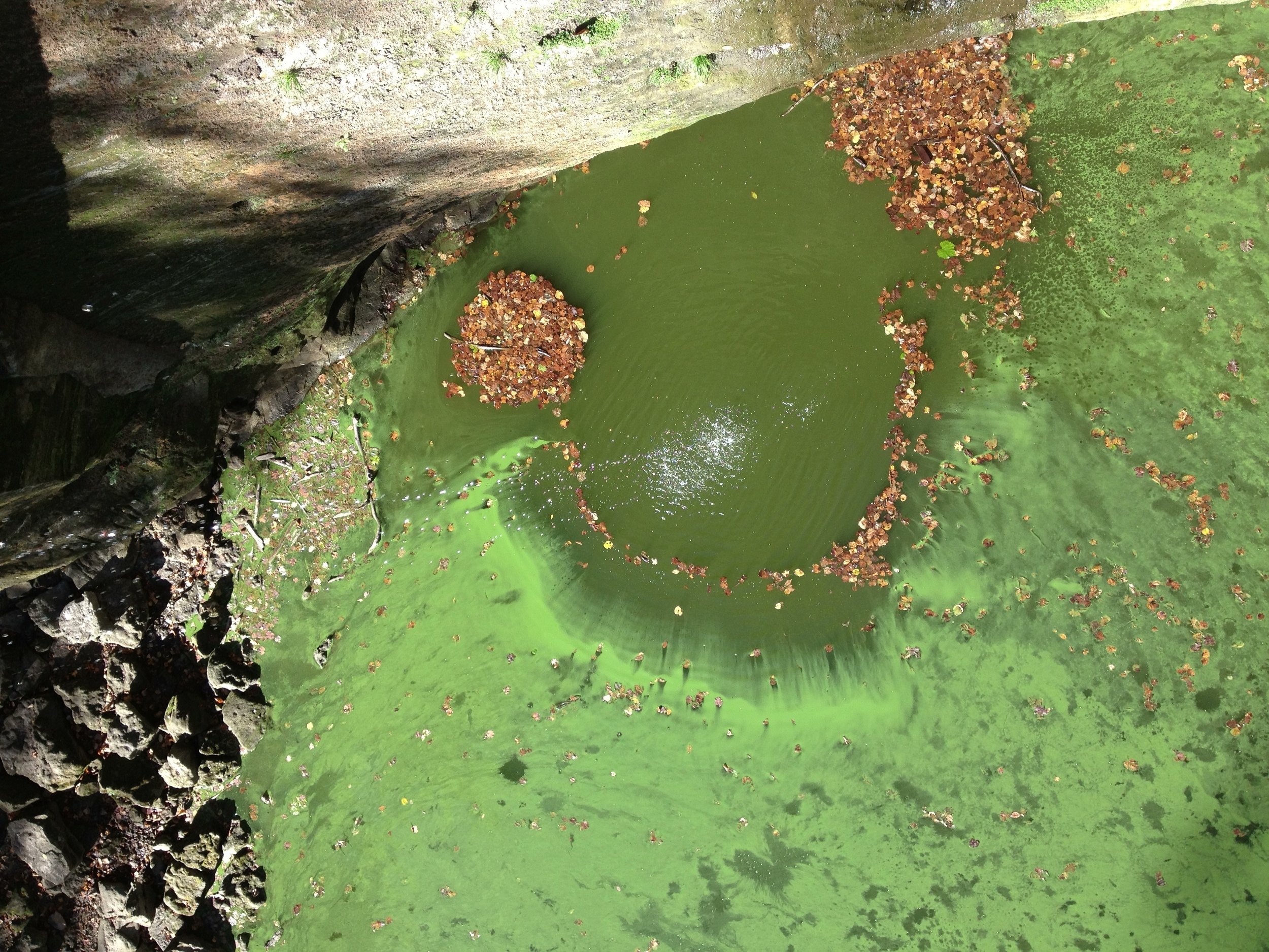
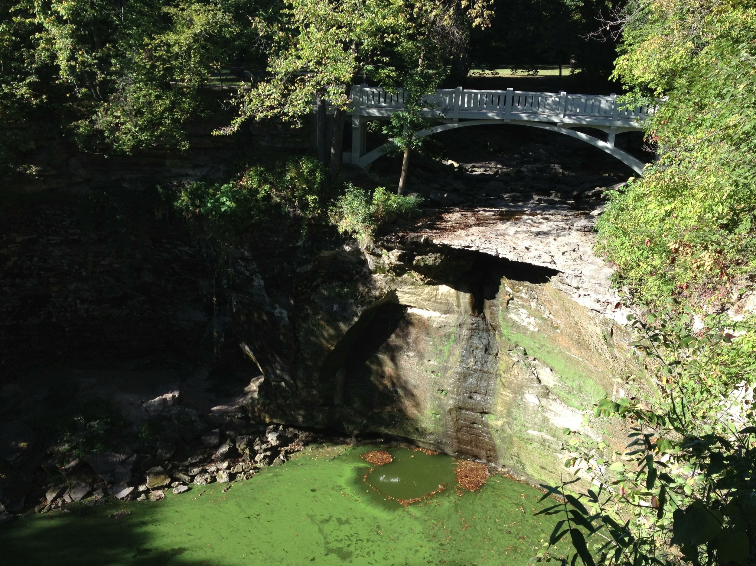
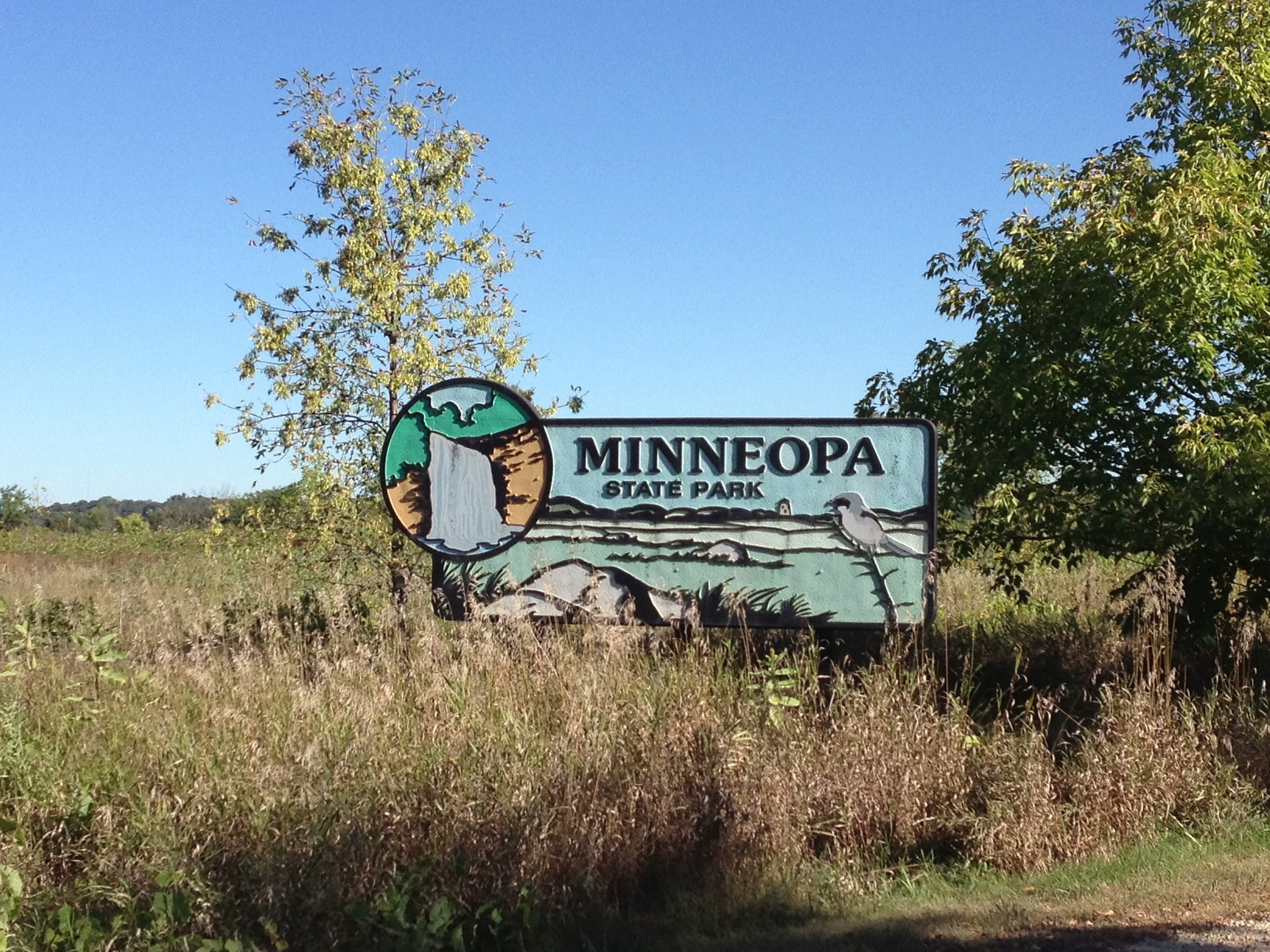
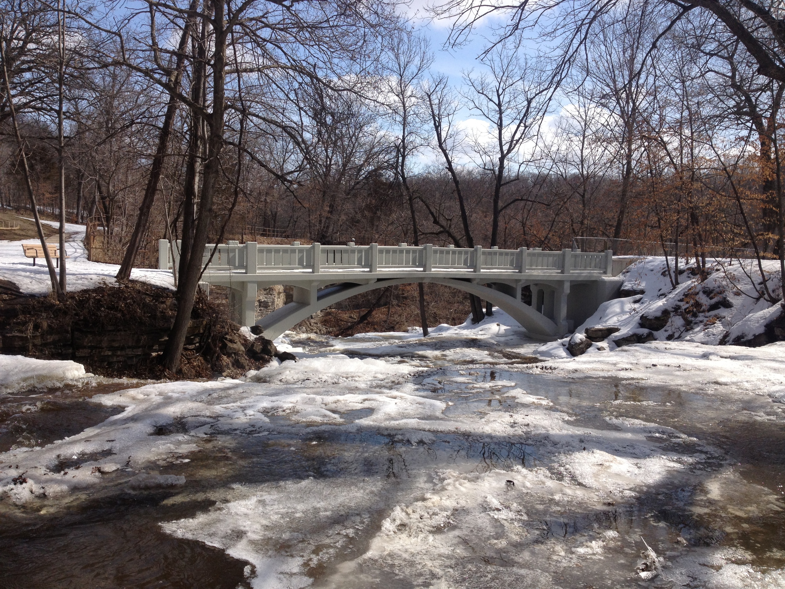
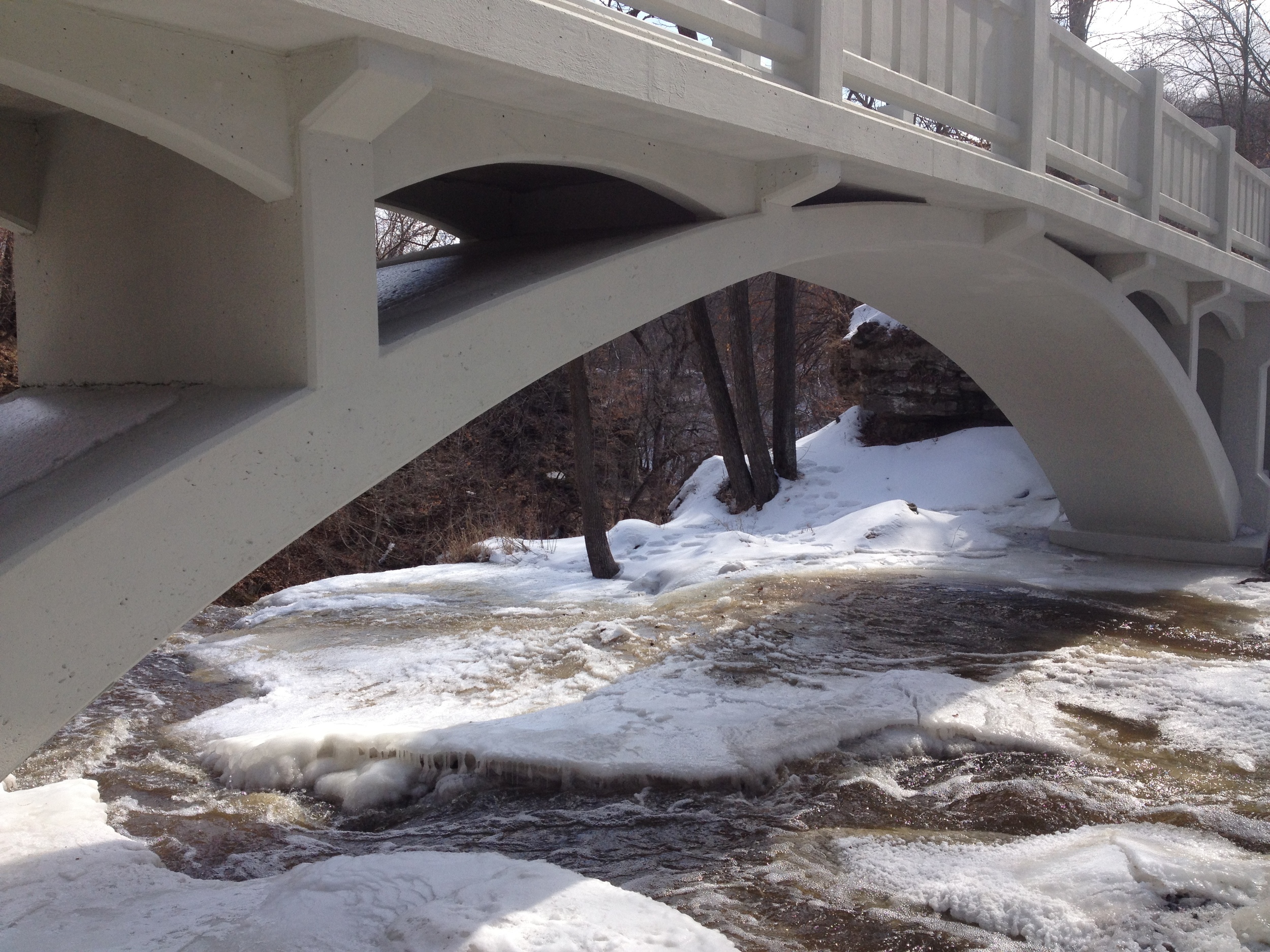
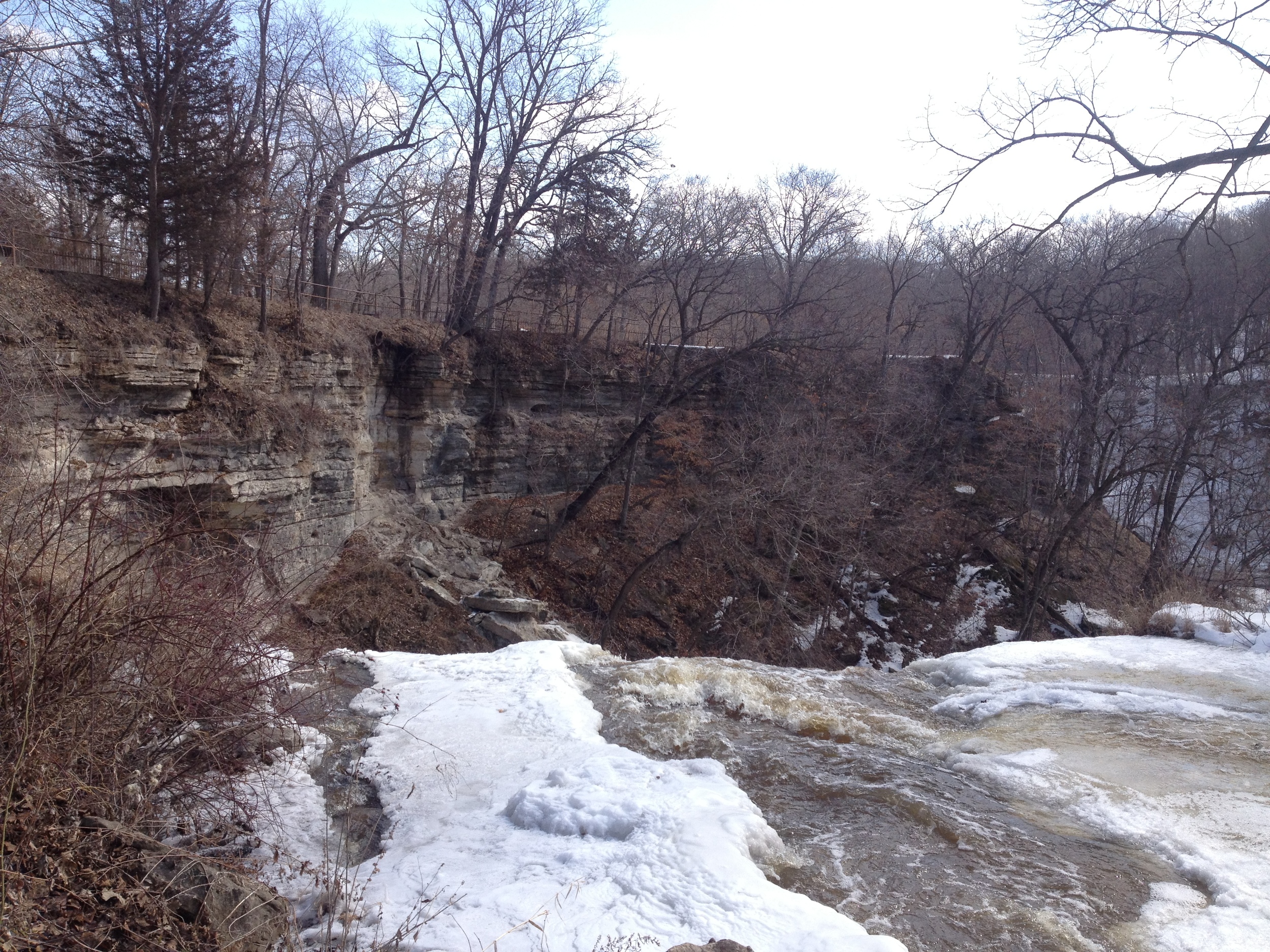
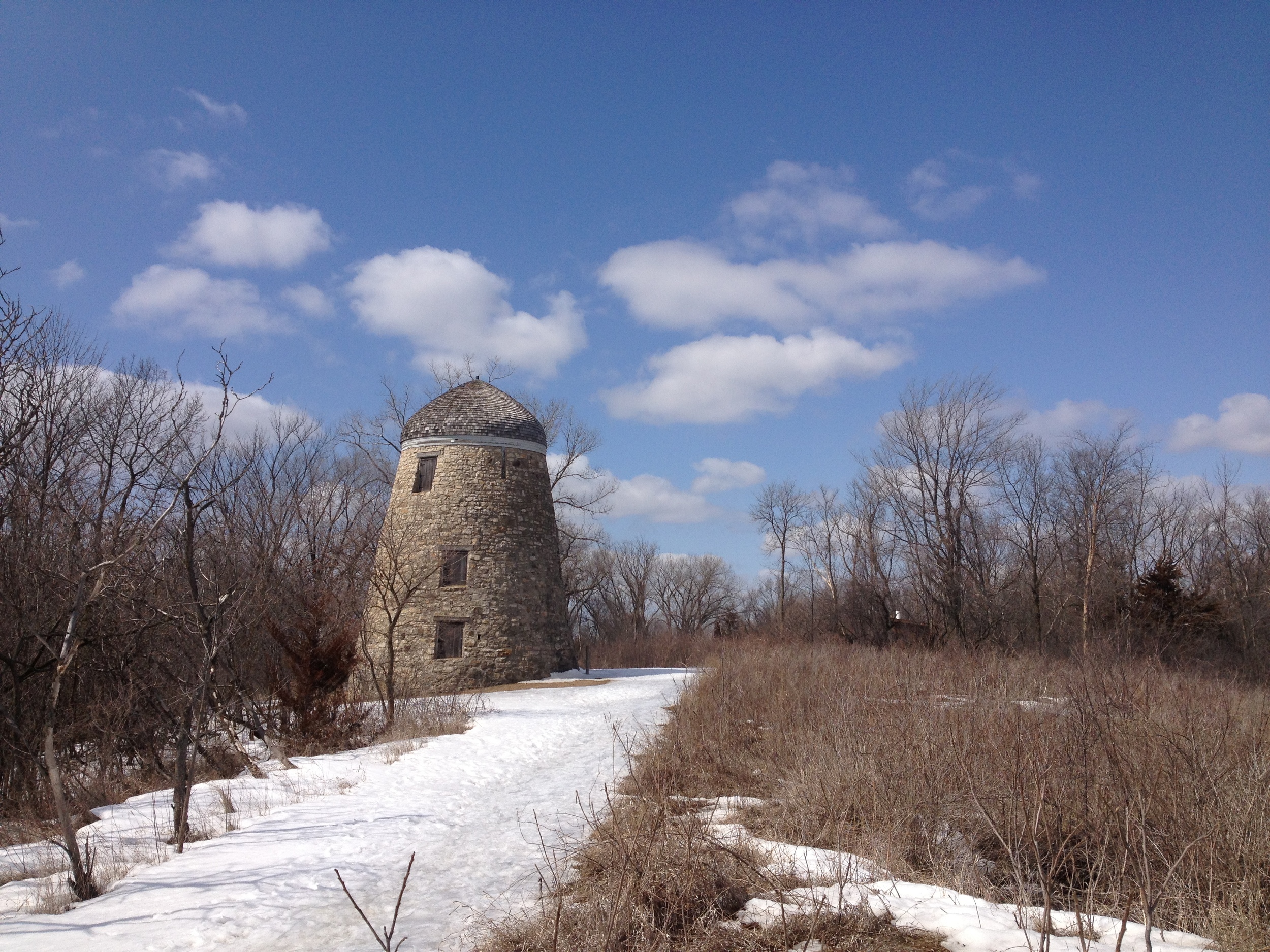
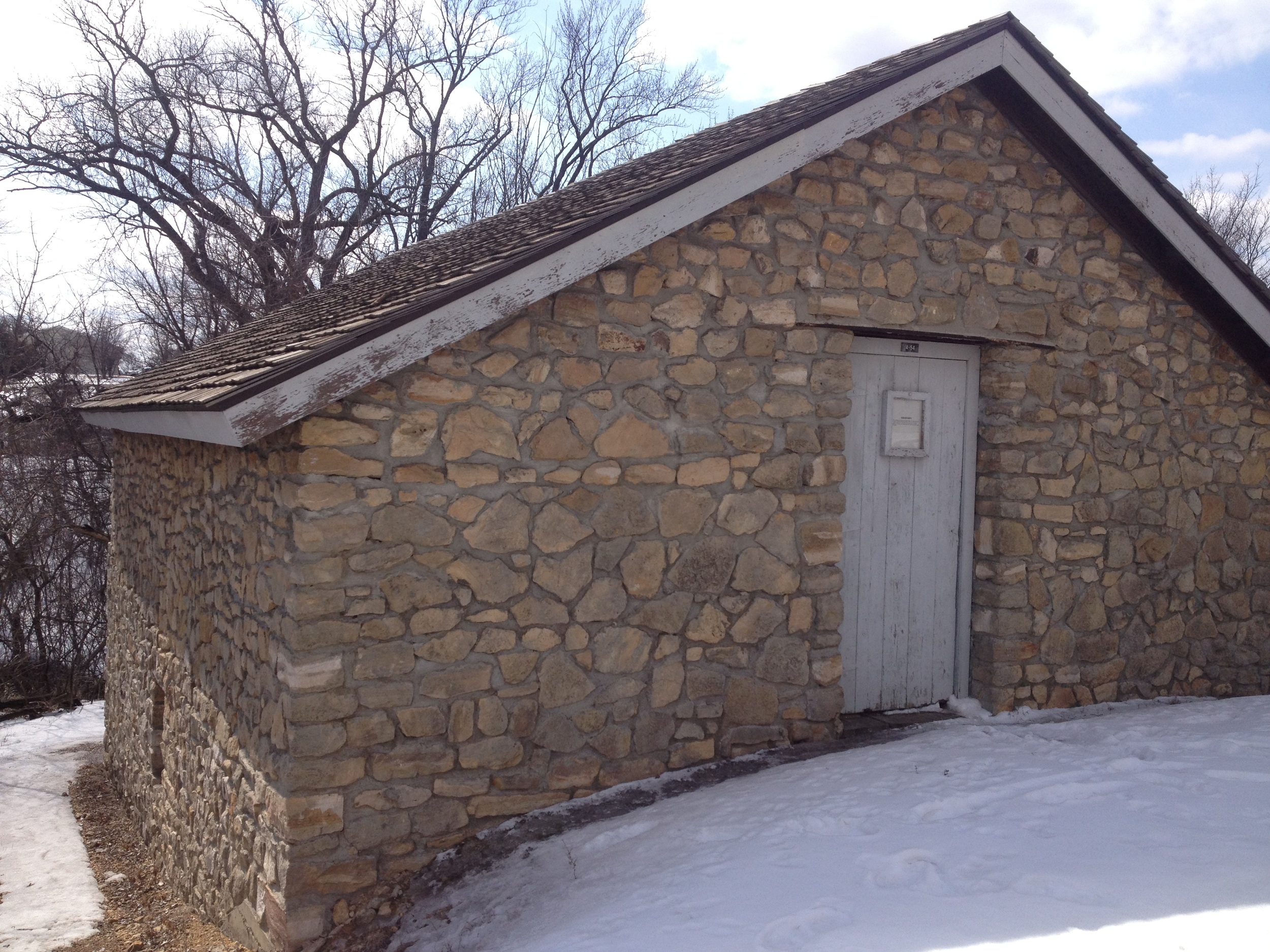
The Park: Minneopa is just outside of Mankato and is fairly representative of the rest of the Minnesota River Valley - much of which is preserved in one way or another. The main attraction is Minneopa Falls, which usually thunders over its double cascade. However on my most recent visit, the largest waterfall in southern Minnesota was just a moist 45 foot cliff; the most interesting part was how vivid the green algae in the creek was. Try to visit in the spring for full effect or if you're feeling particularly adventurous, visit in the winter as I did and check out the amazing ice the frozen falls produce. On the other side of the park, where the hiking club trail is, there is an old windmill and granary that is worth the half-mile hike to see.
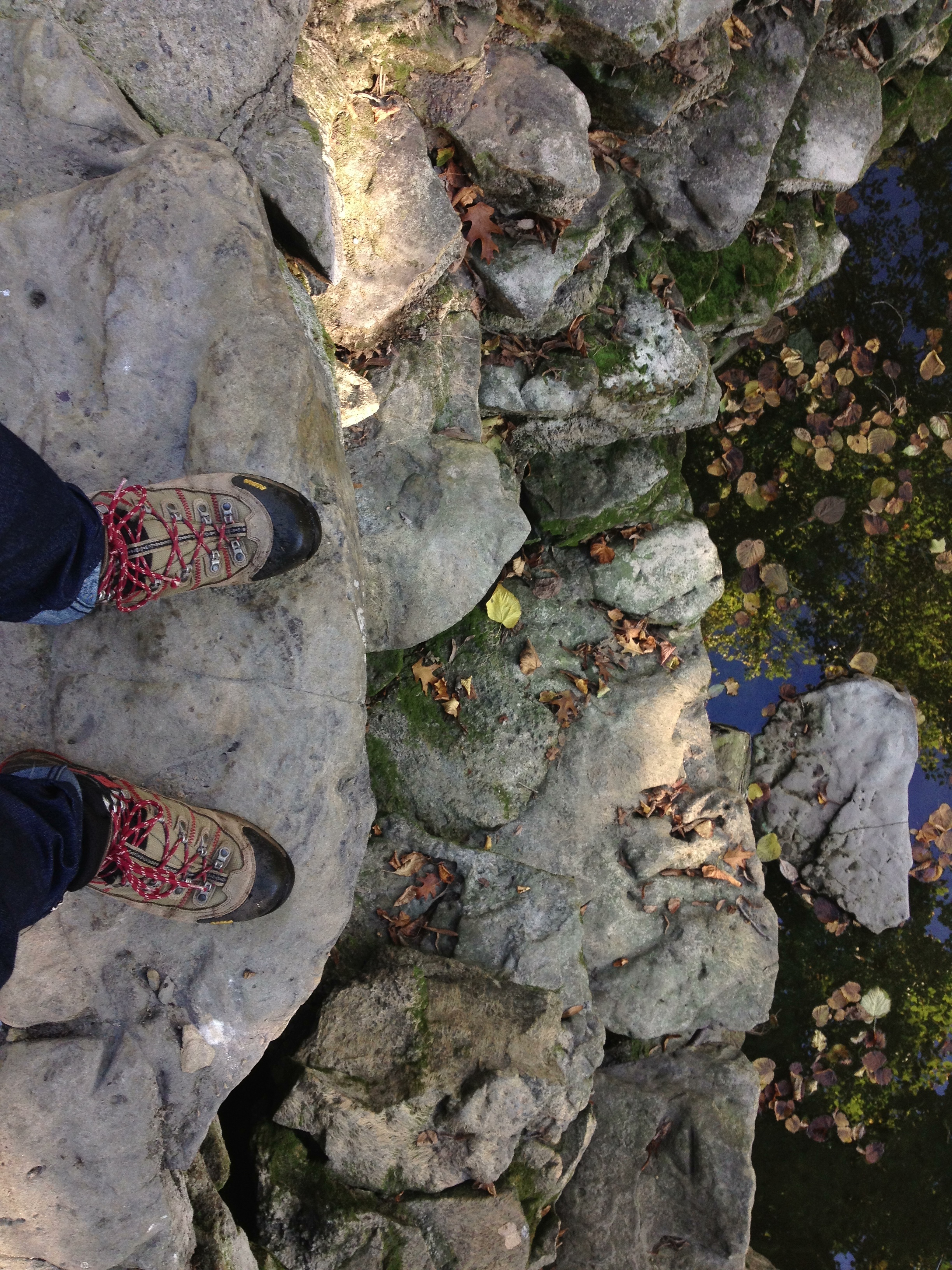
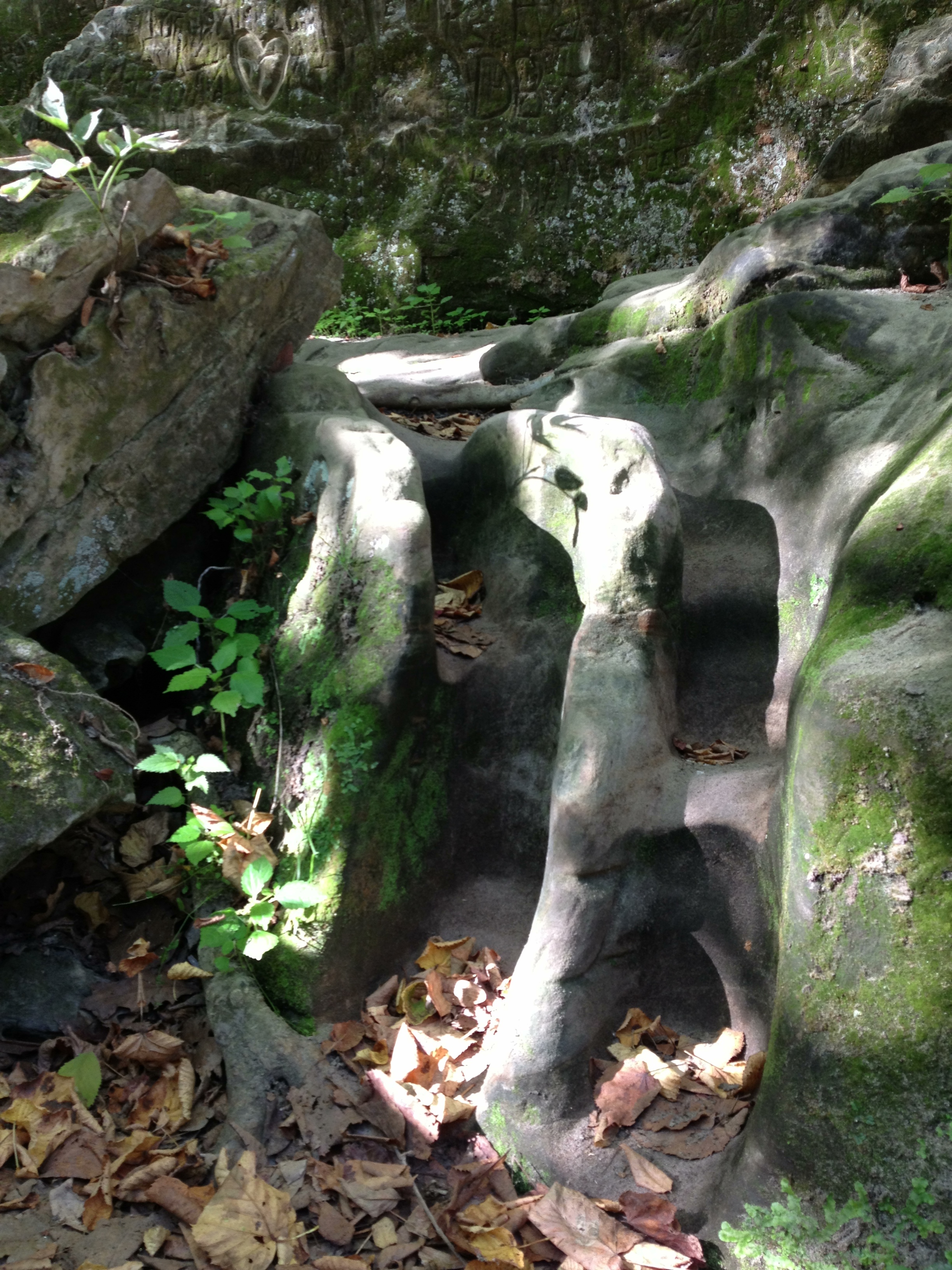
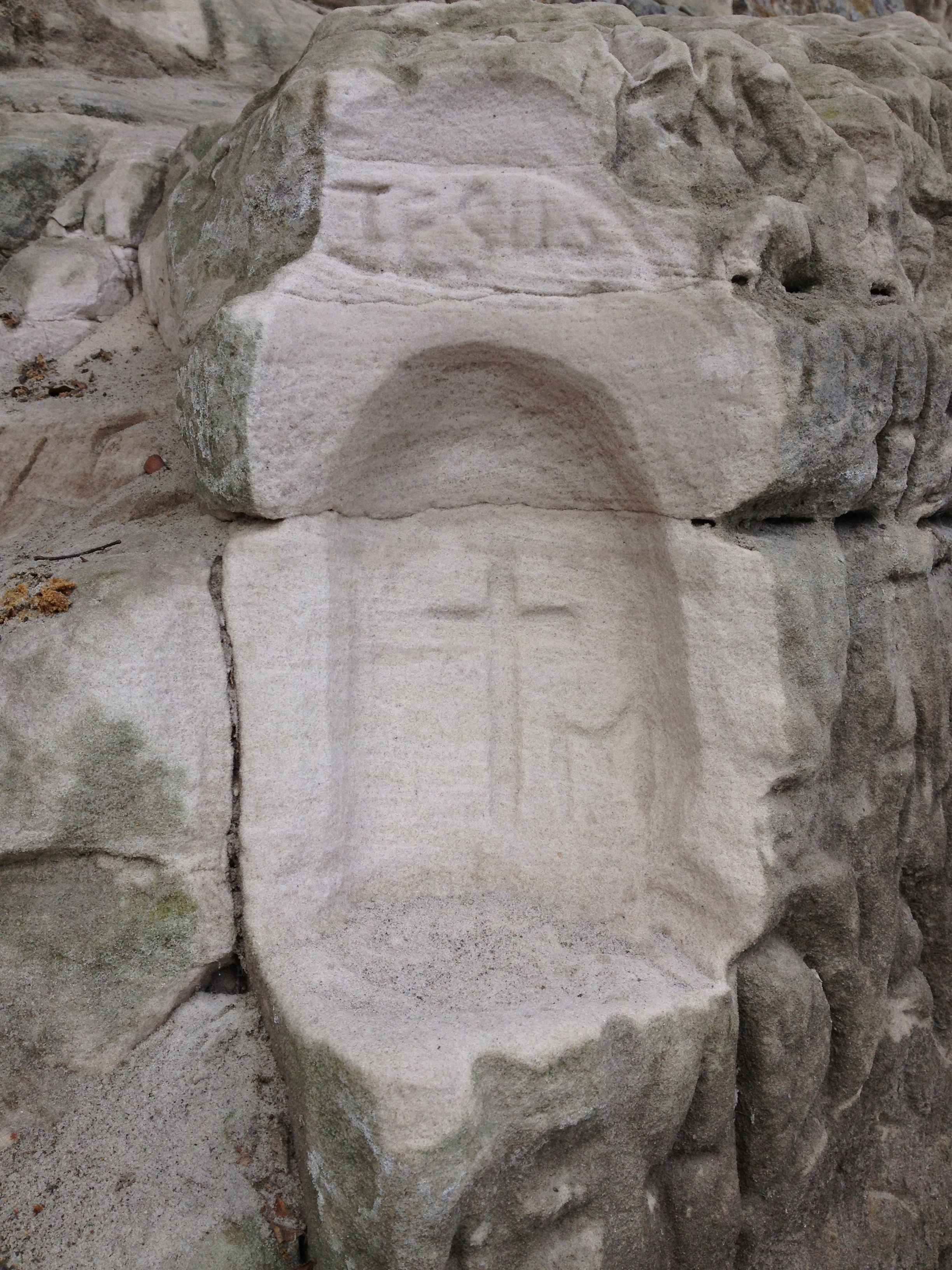
Rock Graffiti at Minneopa State Park.
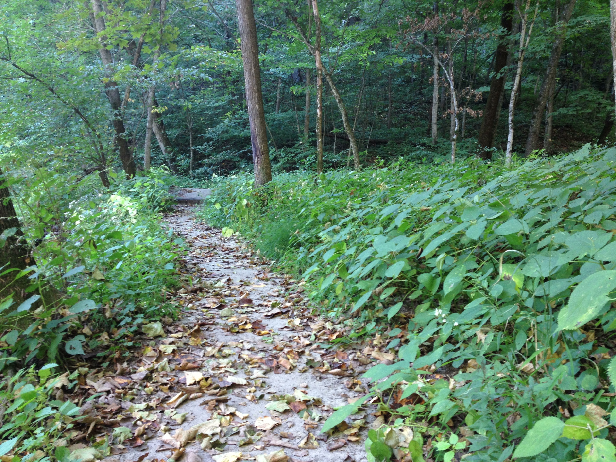
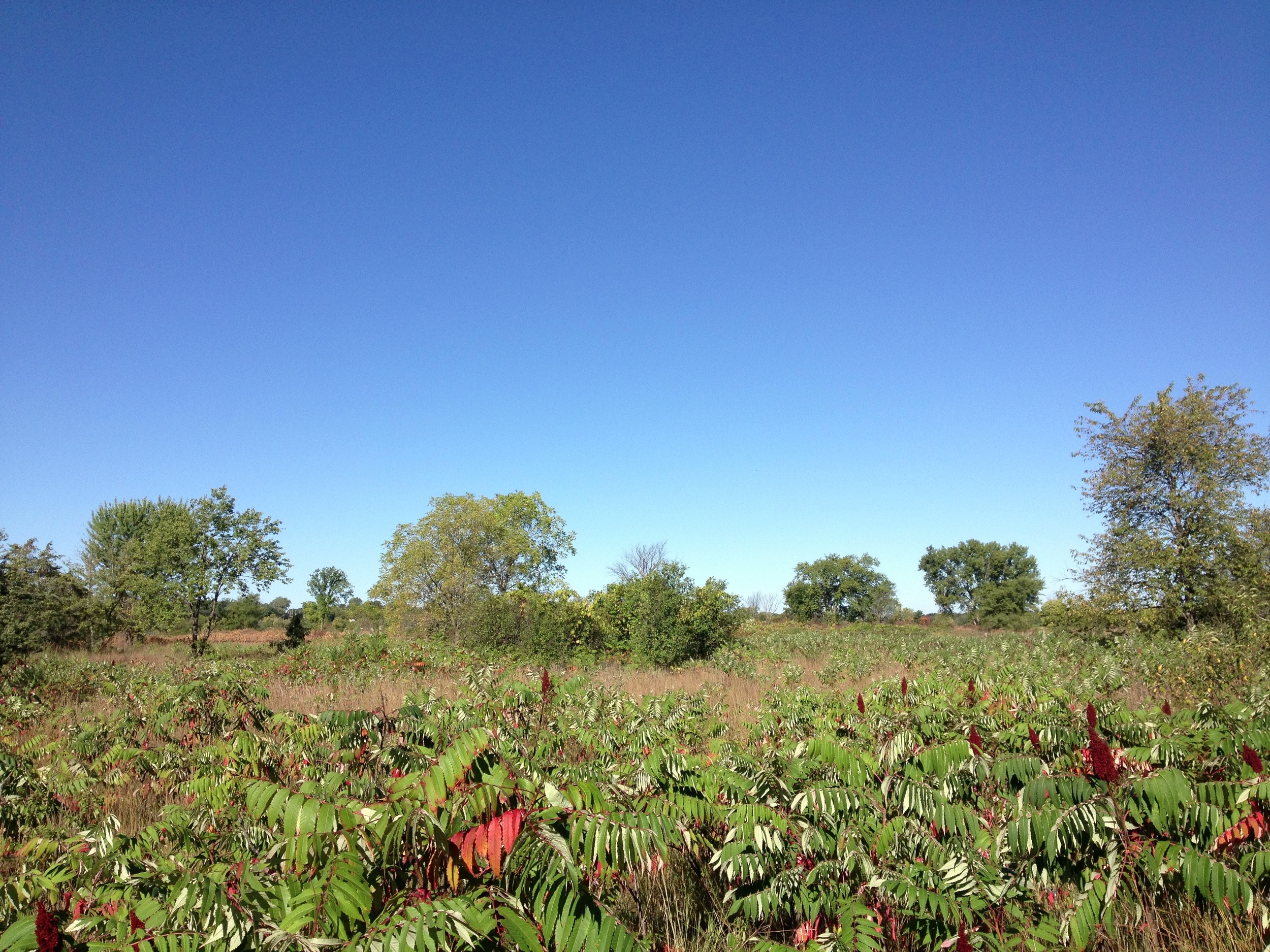
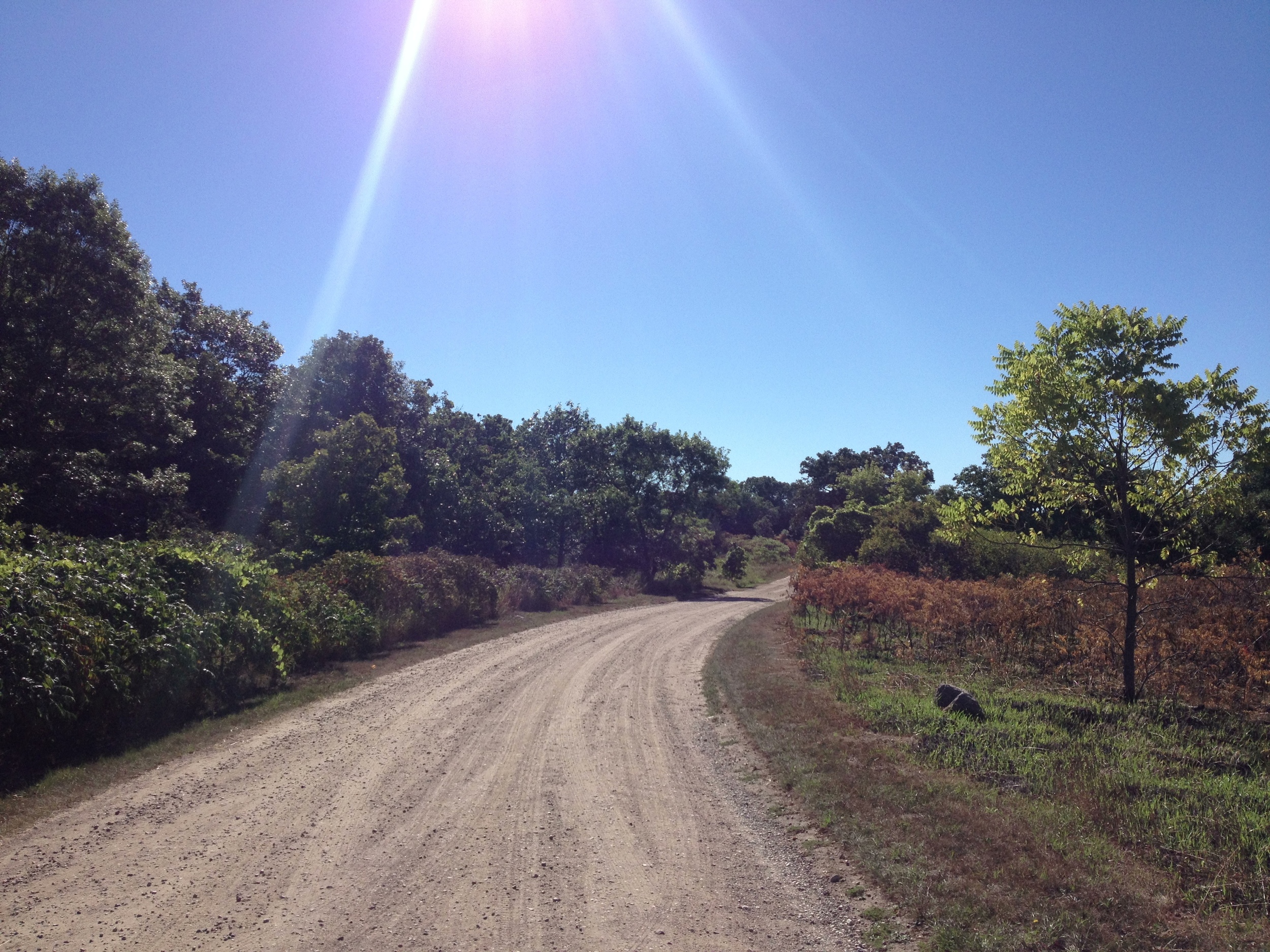
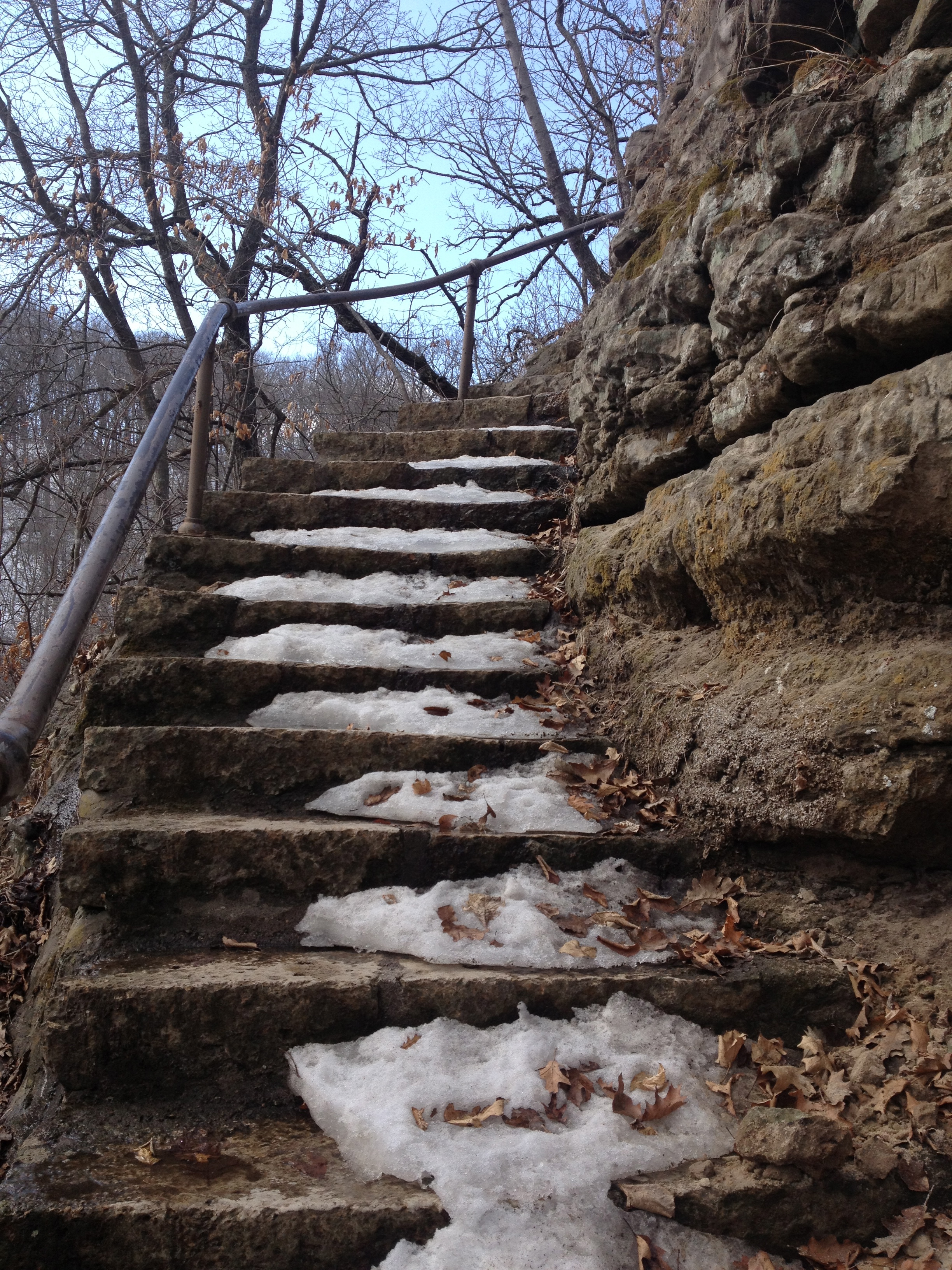
The Hike: I gave this 2.7 mile hike a 3/5 mostly because it is kind of boring. It could just be because I live five minutes away from the river valley and I see this kind of landscape all the time. The hike starts in an oak forest that quickly opens up into a savanna, red with autumn sumac. The area had just been burned and the pungent, but not unpleasant smell of charcoal was my first and strongest impression of the place (I lived for a while in the African savanna and this smell brought me right back there). The trail splits off in several places and is poorly marked, but taking a wrong turn isn't always a bad experience. On one such mishap, I was rewarded by the sight of several bucks leaping across the savanna, their antlers still covered in velvet. However, if you stay on the straightest course, you'll probably be alright. At one point you have the option to take a detour to see the old stone windmill and you should take it if you're not in too much of a hurry. The rail loops back straight through the savanna, across the park road, and back to the parking lot.
Unless you're in Minneopa specifically for the hike, checking out the falls is all you really need to do.
Cumulative Miles Hiked: 26.2
Cumulative Miles Driven: 772
Arbitrary Rating System: 3/5
Prairie Route