Split Rock Creek State Park

The Minnesota Wind Turbines sprouting up in the distance. 

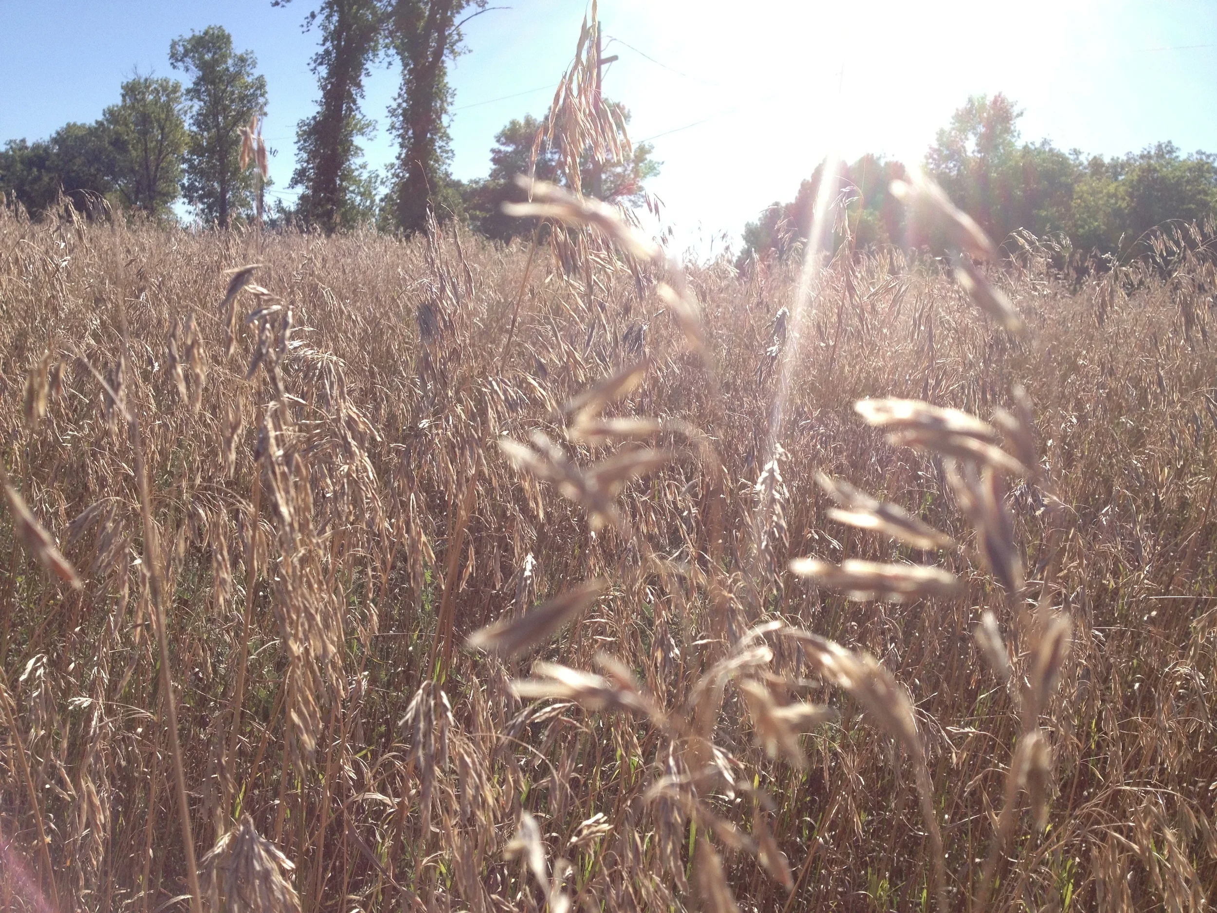
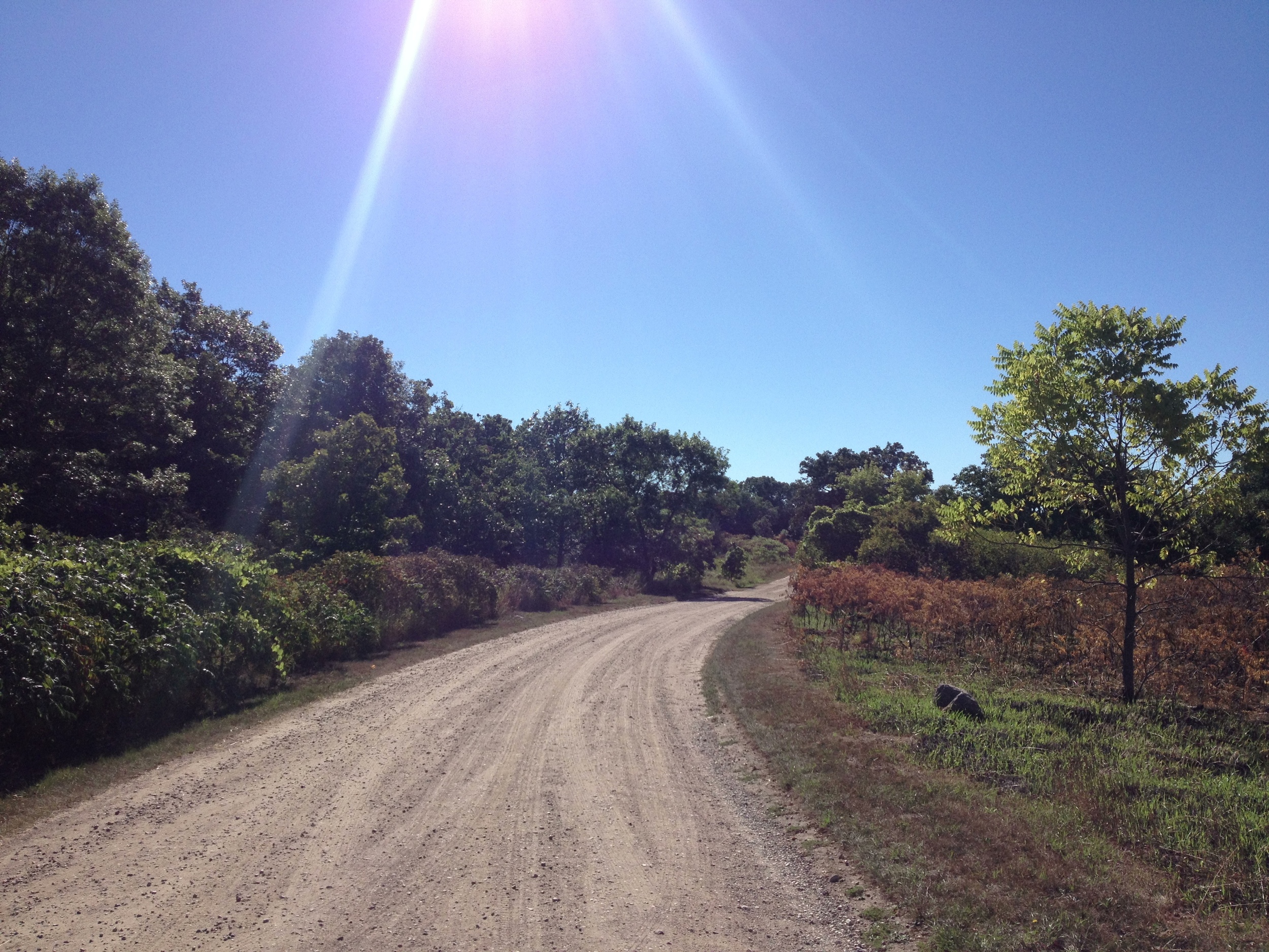
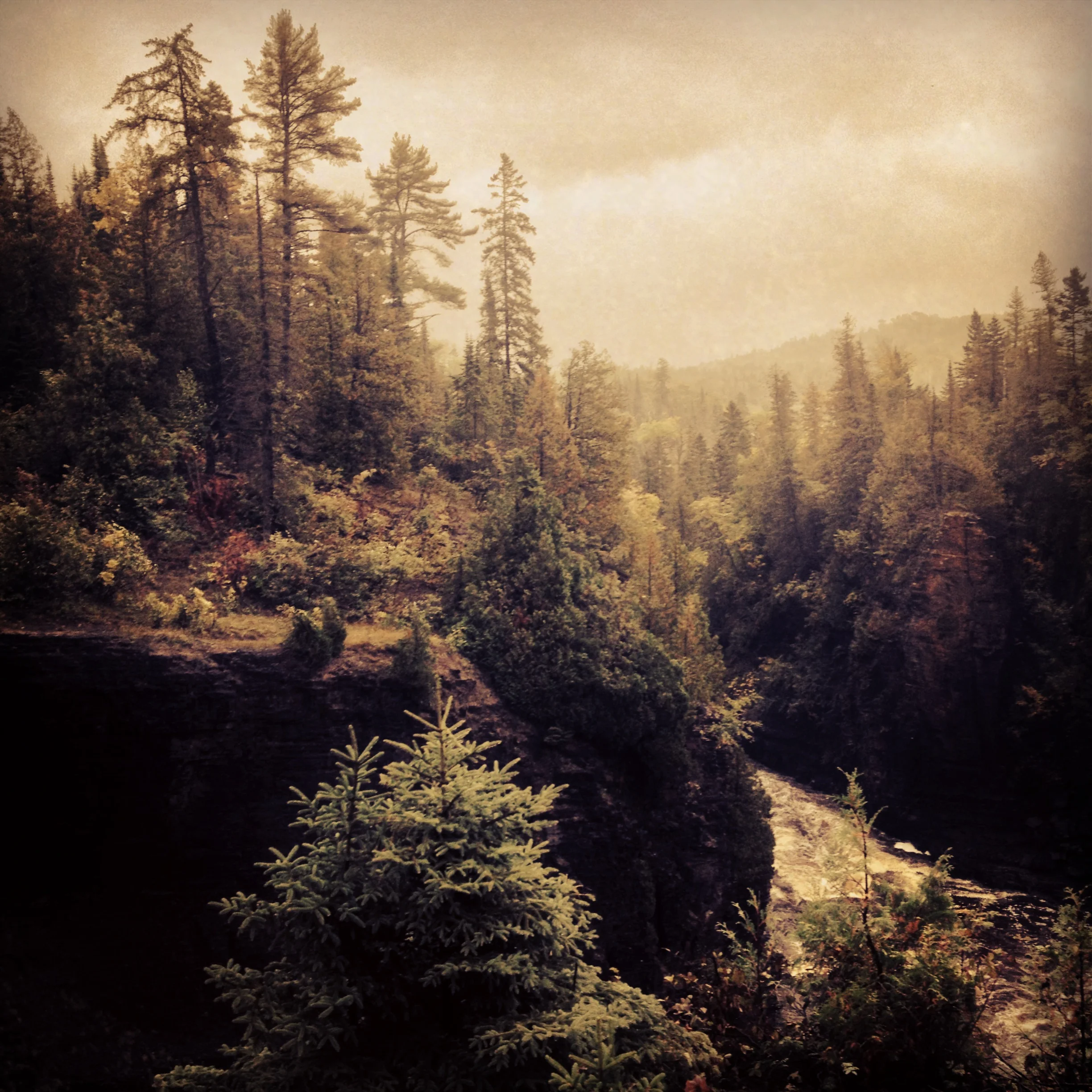
The Drive: The first half of this drive is almost identical to the drive from Minneapolis to Mankato (Minneopa). The town of St. James could be St. Peter's twin and Windom is their awkward older brother. I also passed through the poorly named Mountain Lake, a Mennonite community in one of the driest and flattest areas of the state. Between Windom and Split Rock Creek, the featureless prairie gave way to a forest of wind turbines along Buffalo Ridge continuing almost to the South Dakota border. It is the idyllic country scene for a new age - rolling fields of golden corn and ripe soybeans, red barns and silos situated in the folds of the hills, herds of spotted cows grazing endless pasture, giant silver wind turbines glinting in the late afternoon sun. Something like this. Once I got over how I thought the landscape should look, I was able to enjoy it for what it was.

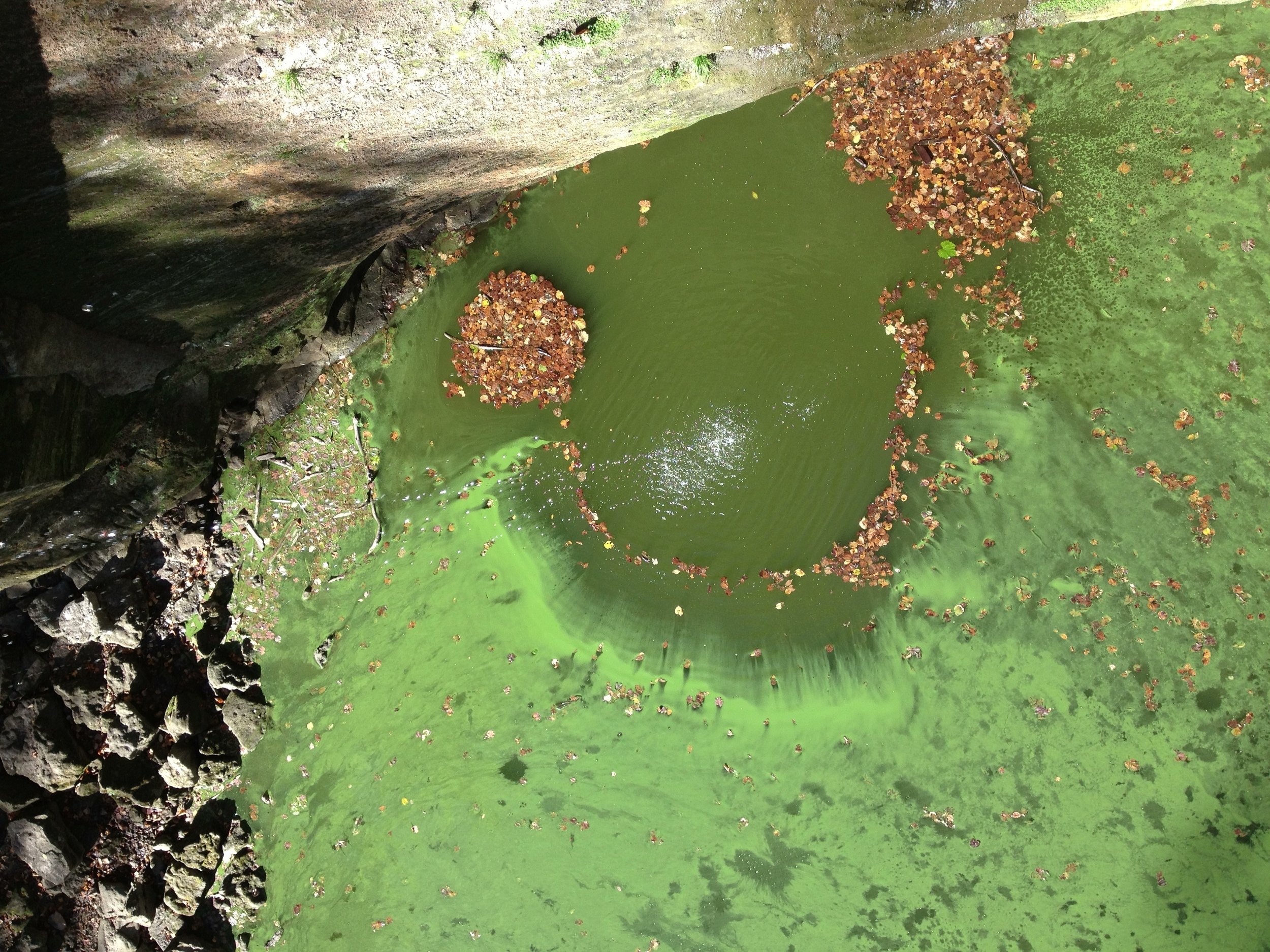
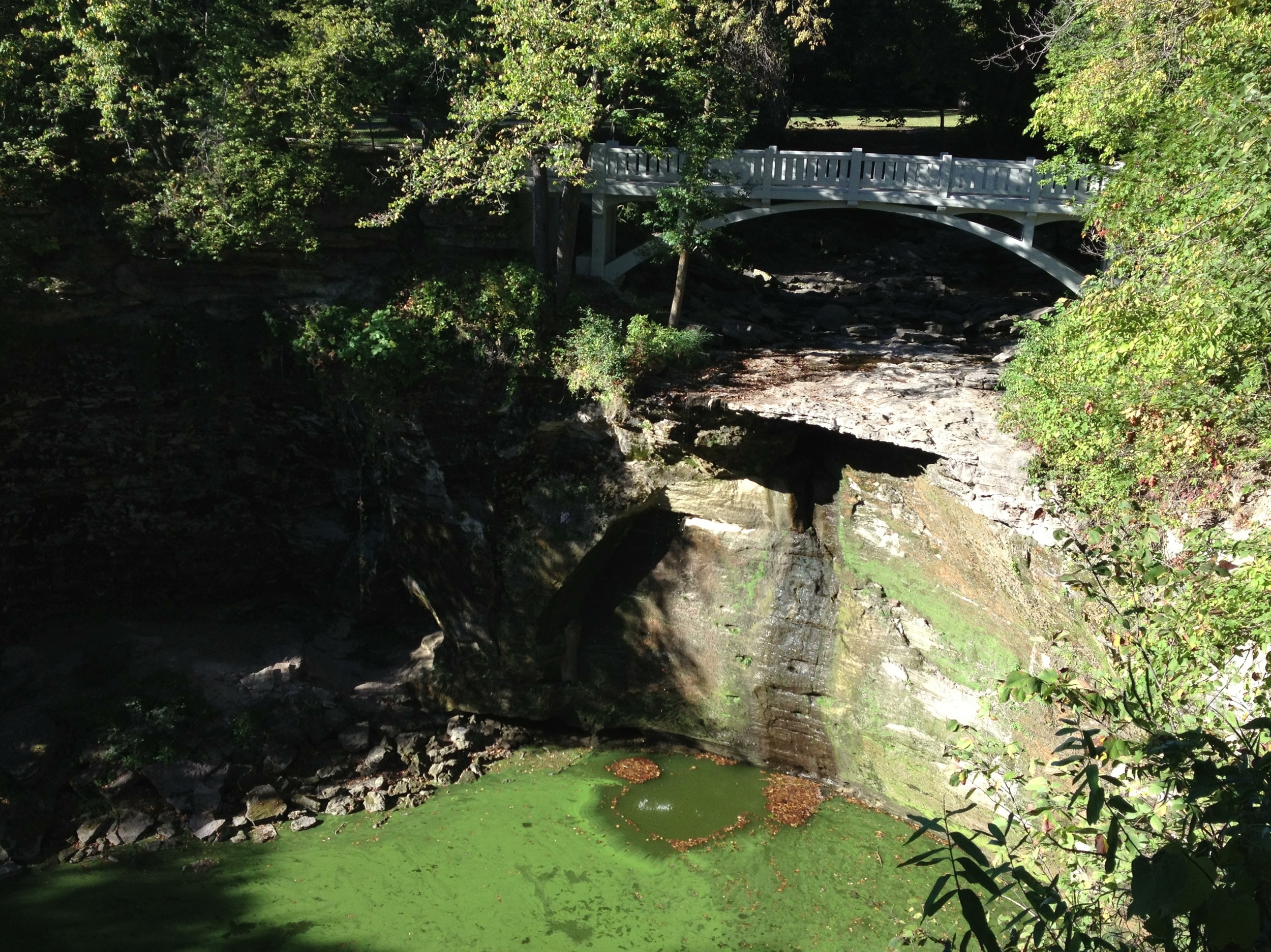
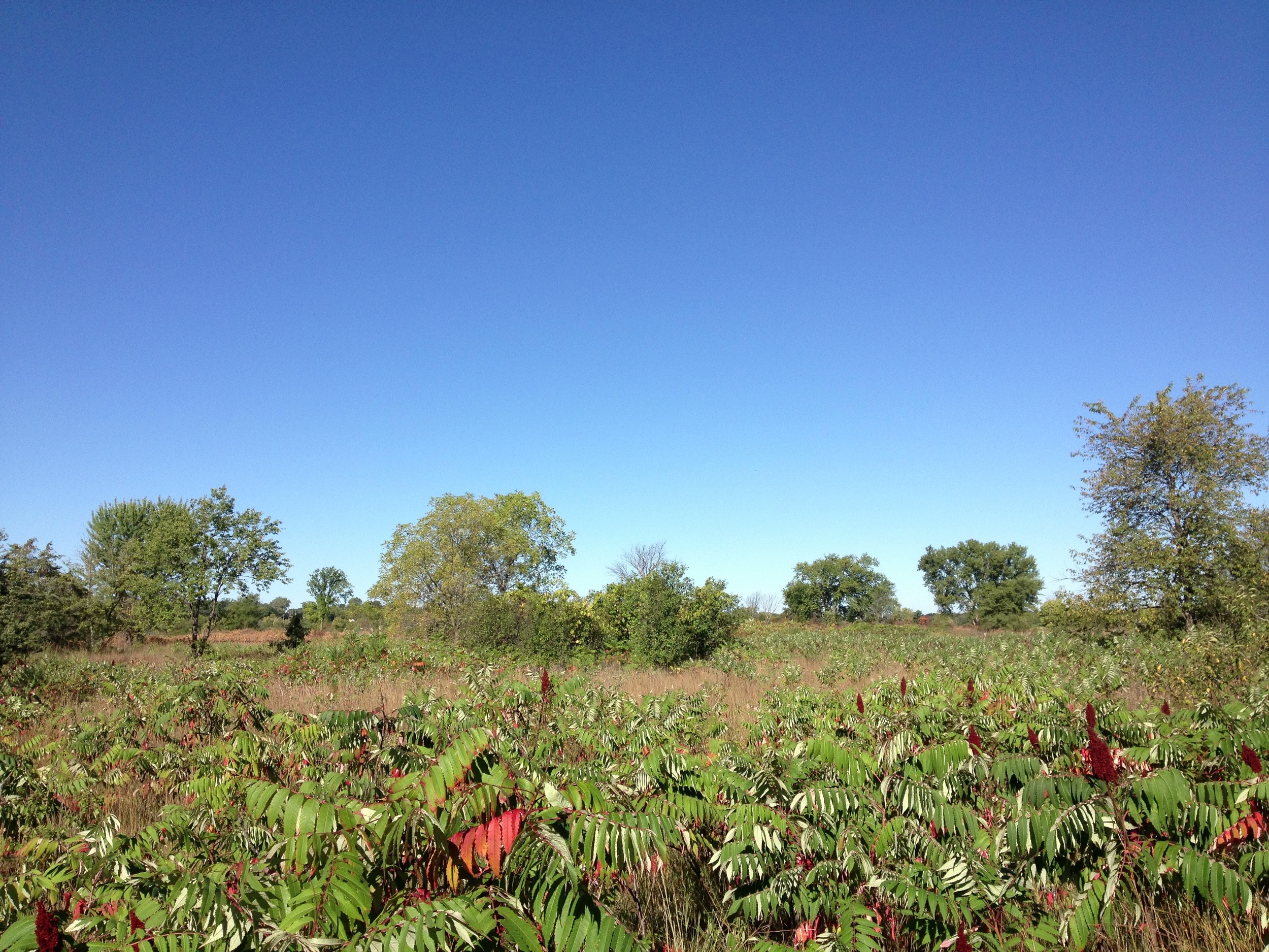
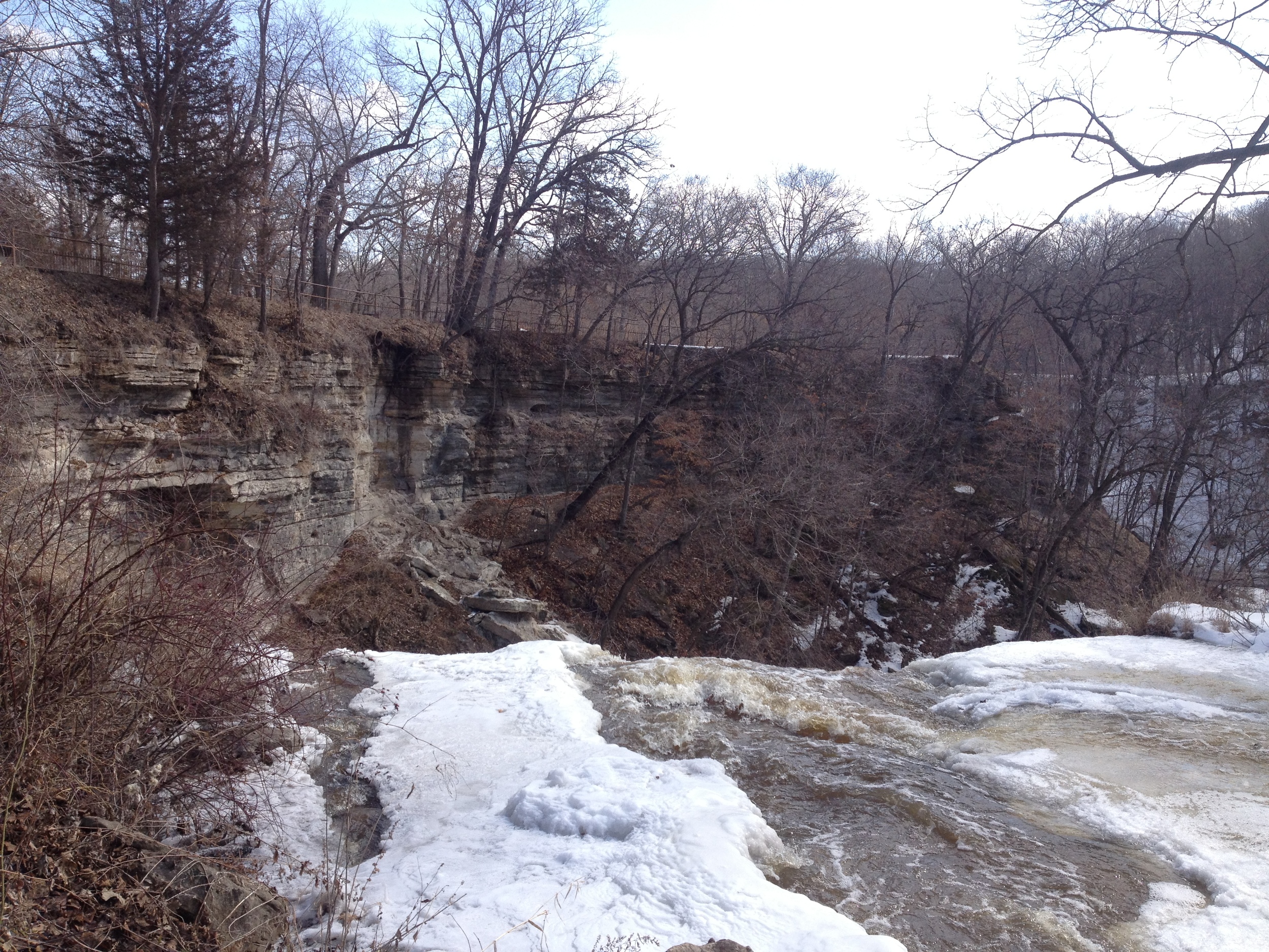
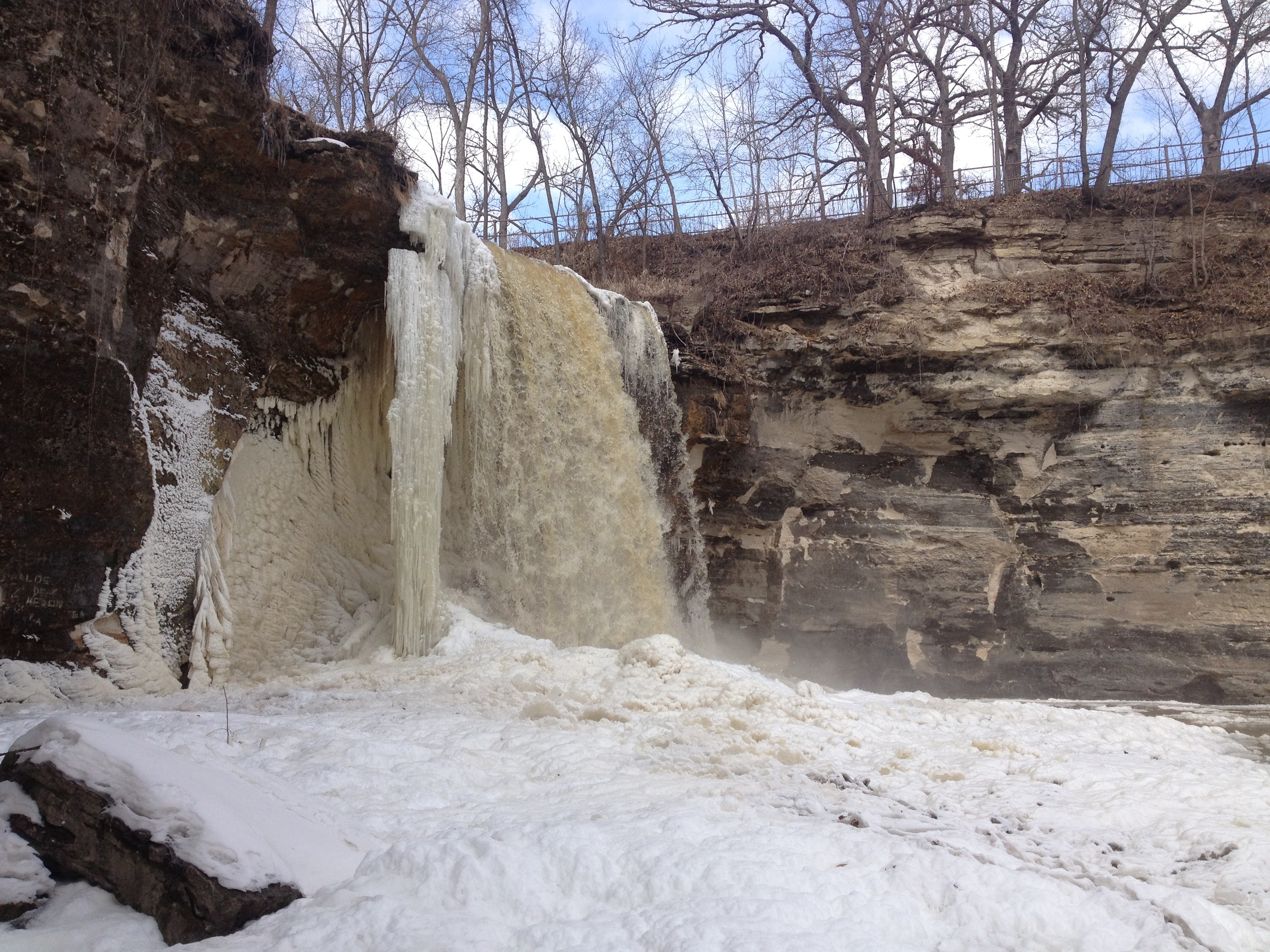
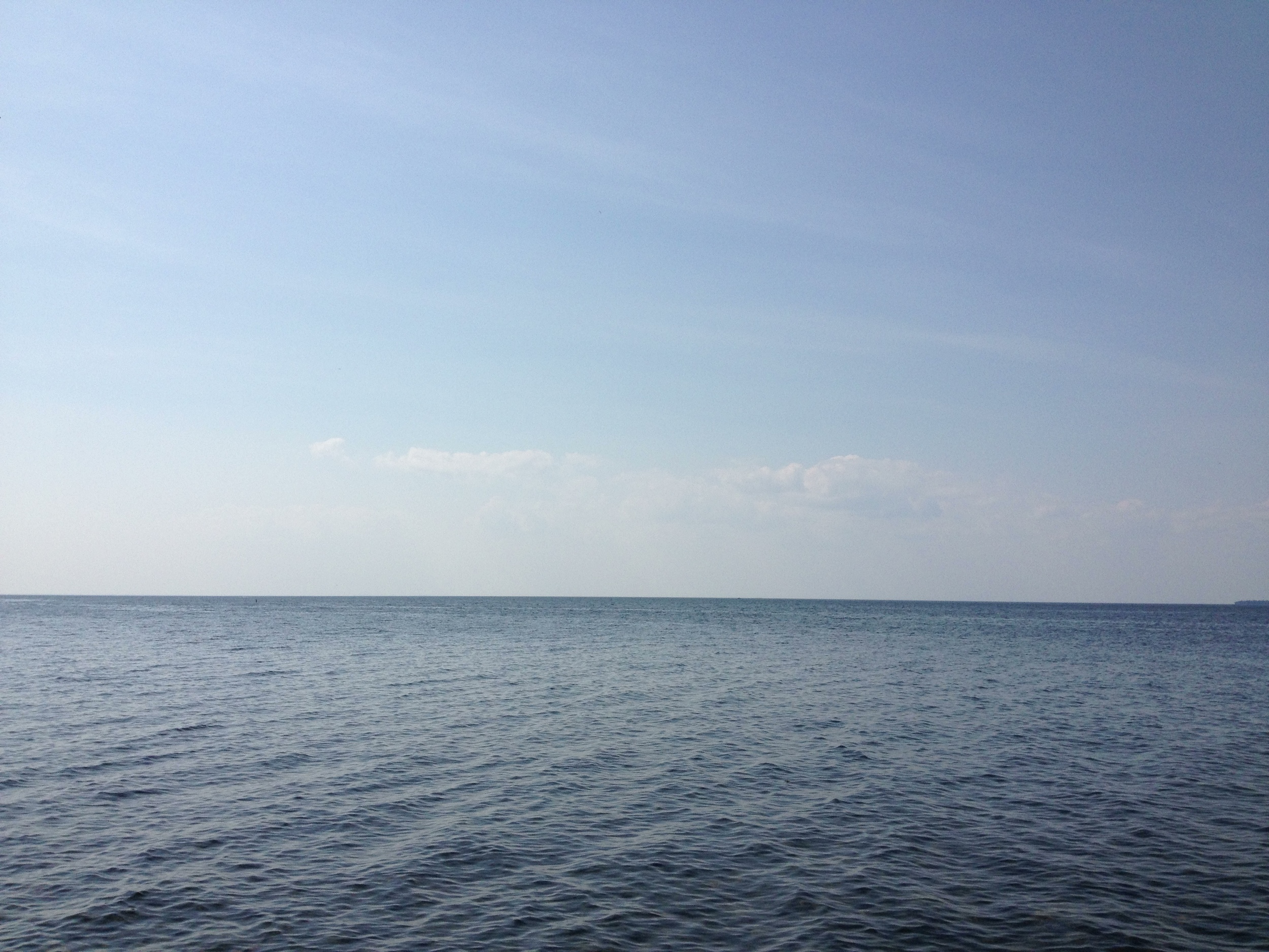
Split Rock Creek. Not much there. This part of the state is really quite dry and I was there during the driest part of the year. 

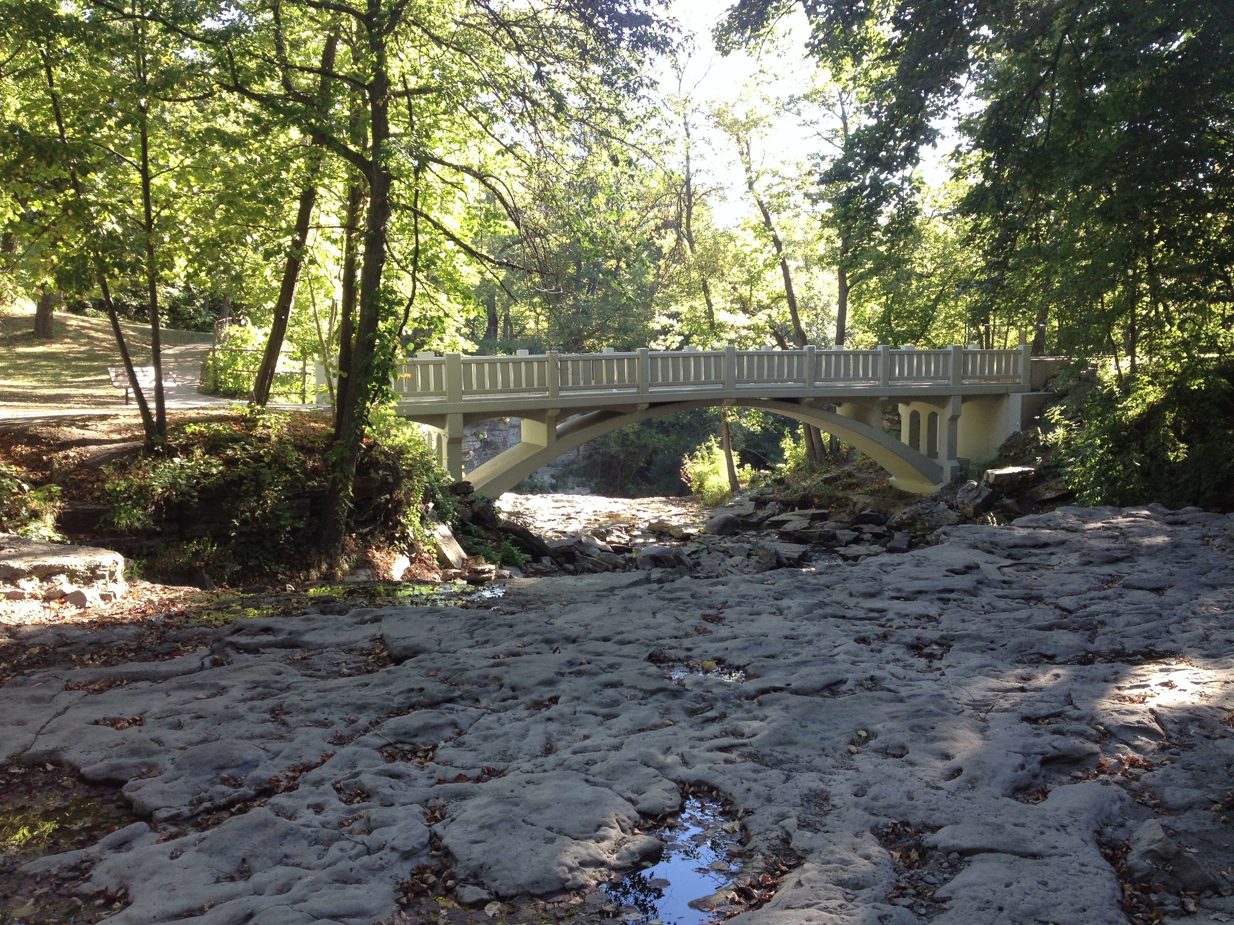
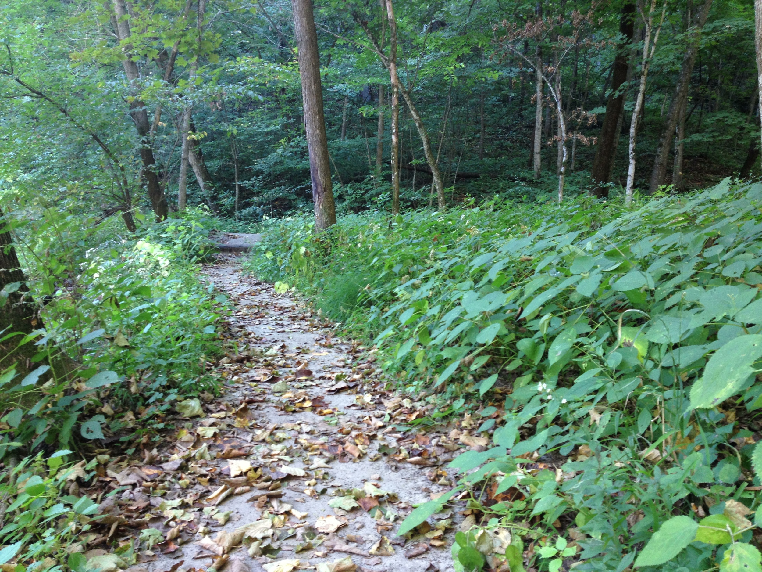
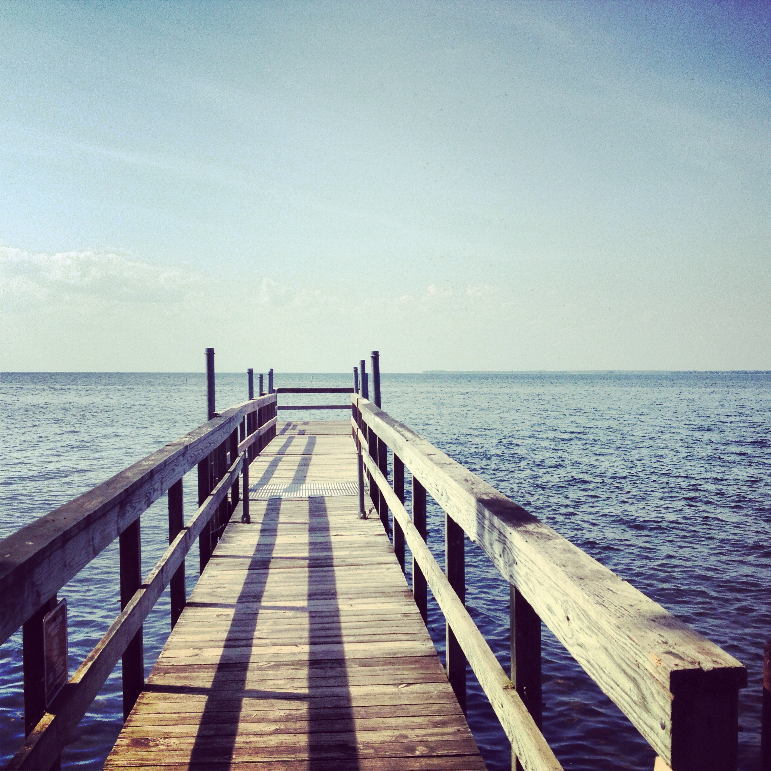
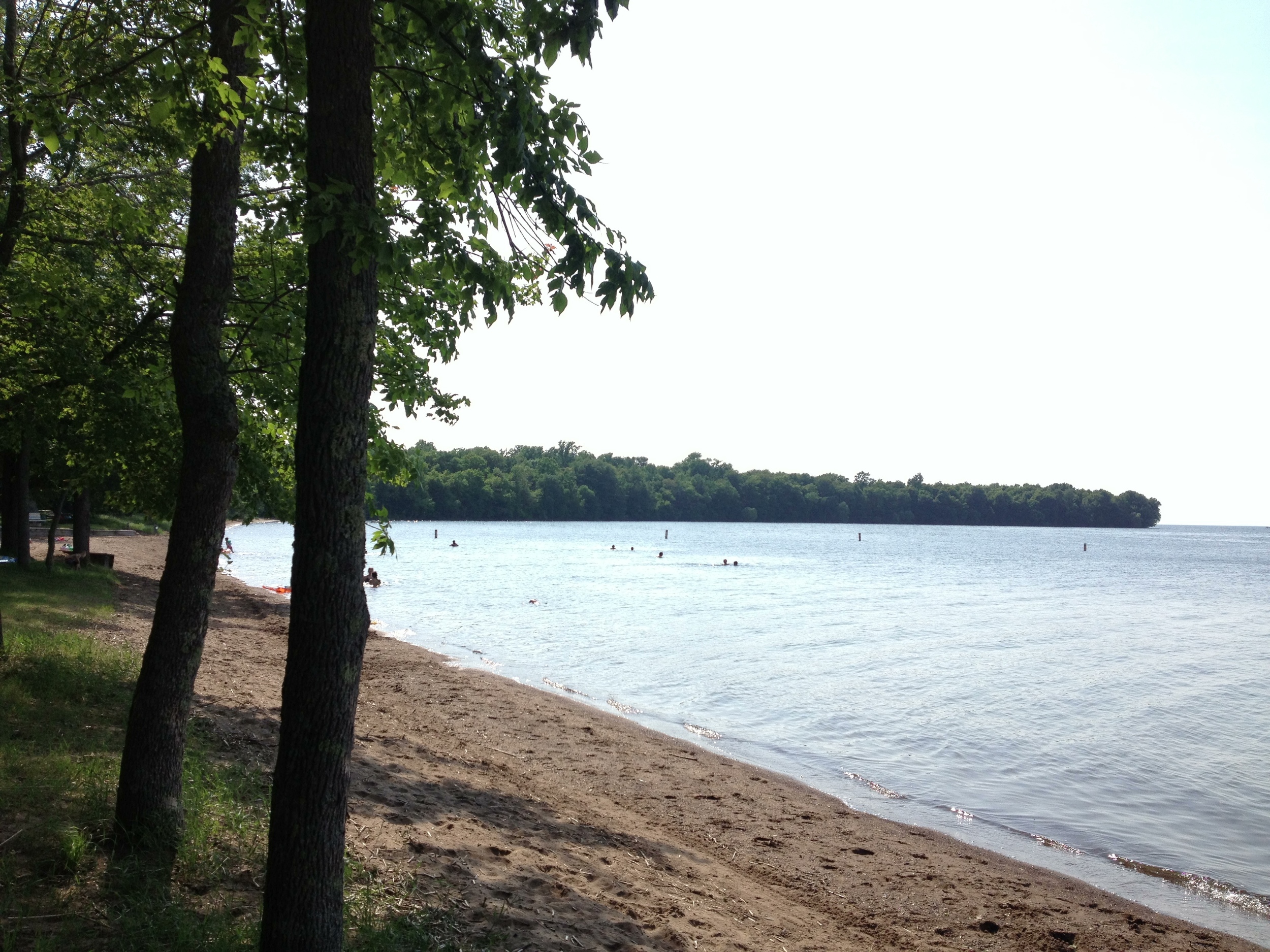
The Park: My memory from Split Rock Creek State Park will always be "the place where I locked my keys in the car in the middle of nowhere and had to be bailed out by AAA." Just miles from the South Dakota border, this was the first true prairie park I hiked (Minneopa was more savanna). The small park is next to a rare prairie lake (although it's technically a reservoir, not a lake) complete with a beach and fishing pier (where I spend a lot of time waiting for someone to come help me break into my own car). There is a campground in a wooded section of the park, but I'm not sure why you would stay there except that it isn't really close enough to a major town make it convenient for day trips.

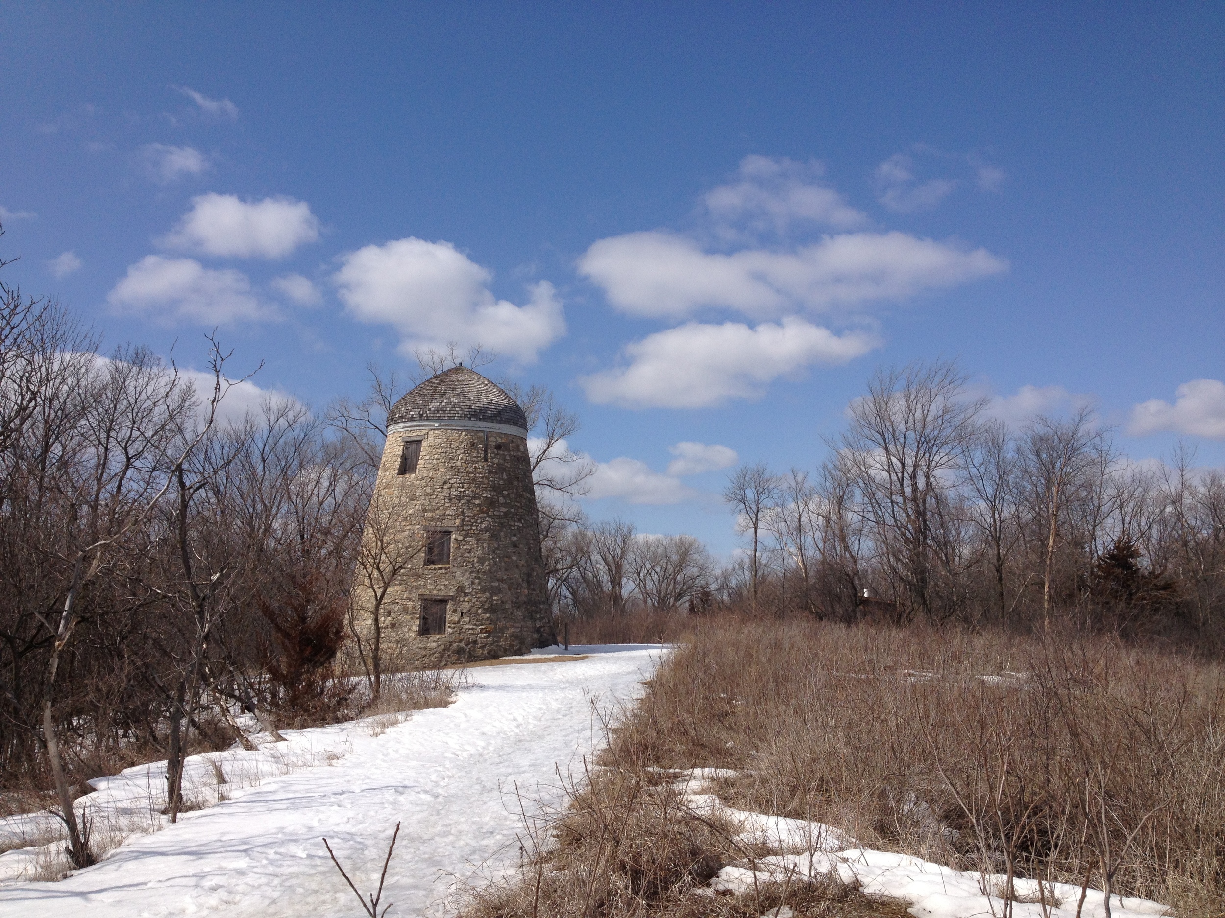
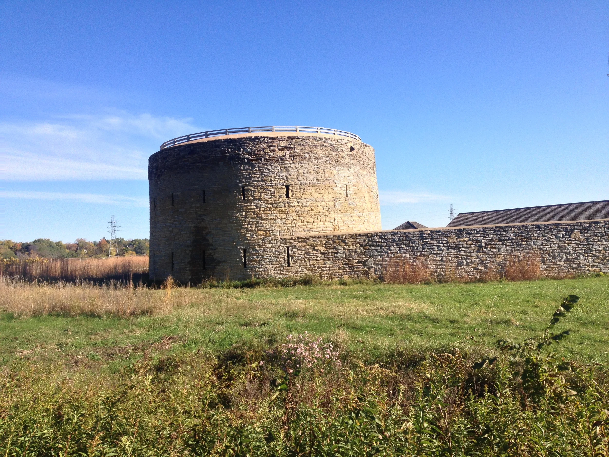
The Old CCC Water Tower at Split Rock Creek State Park 

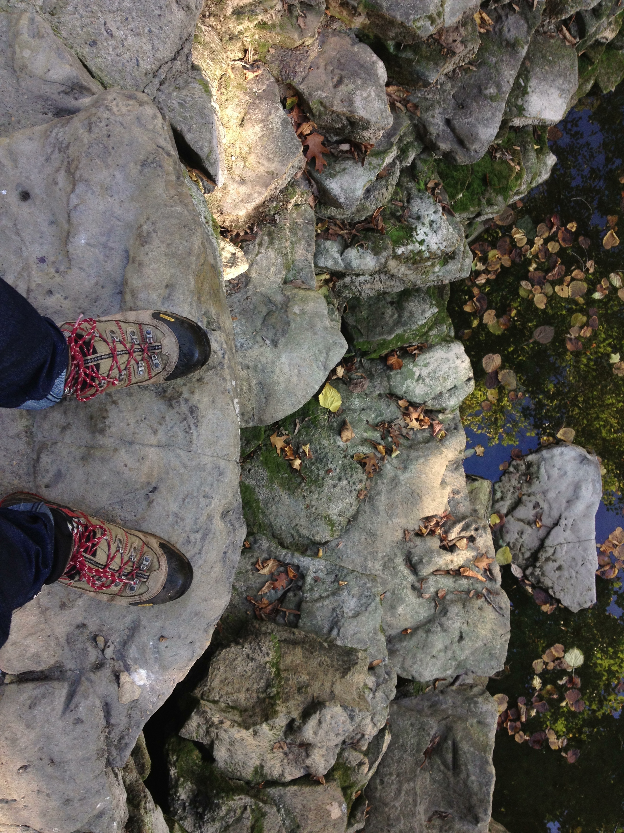
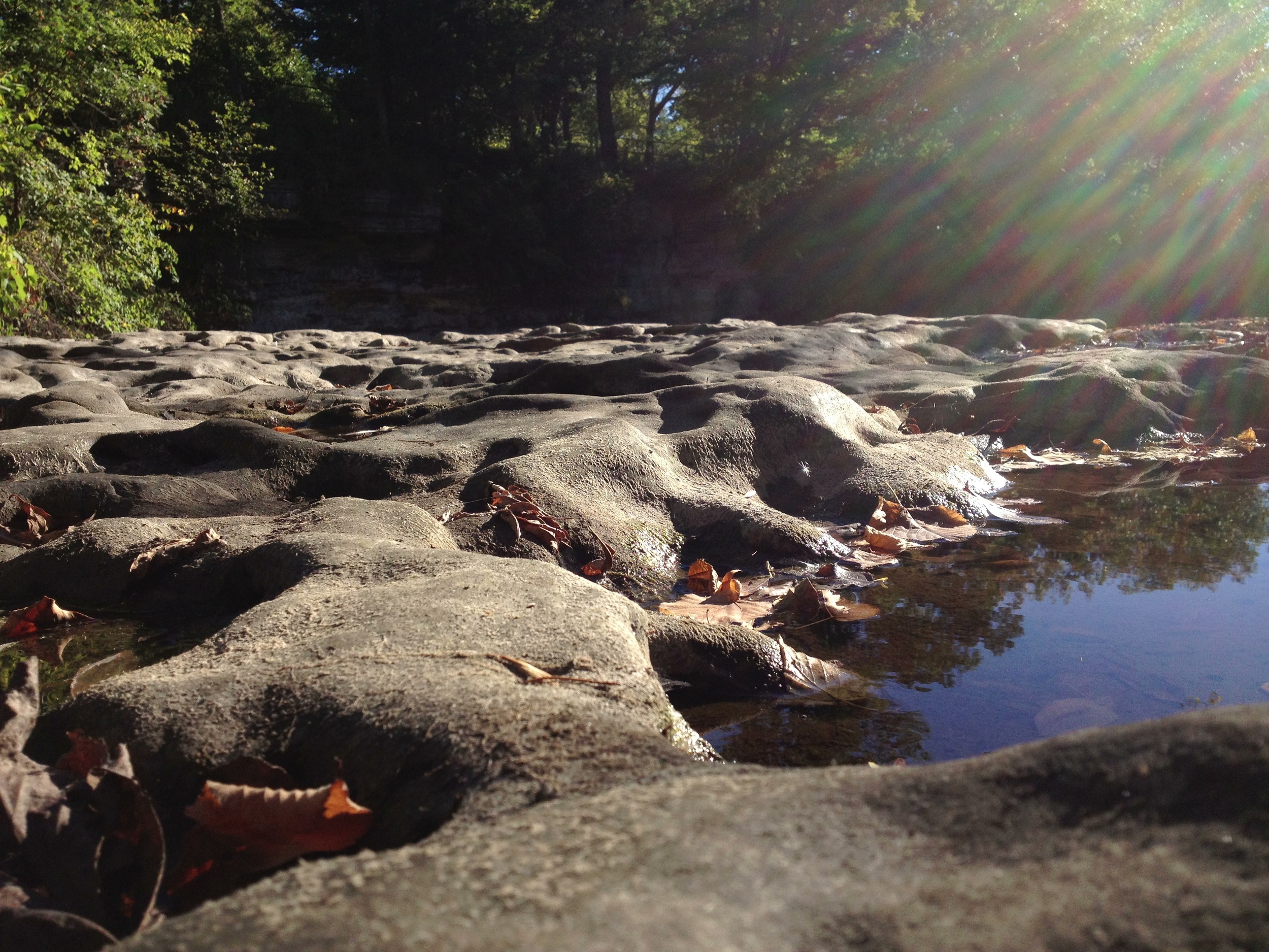
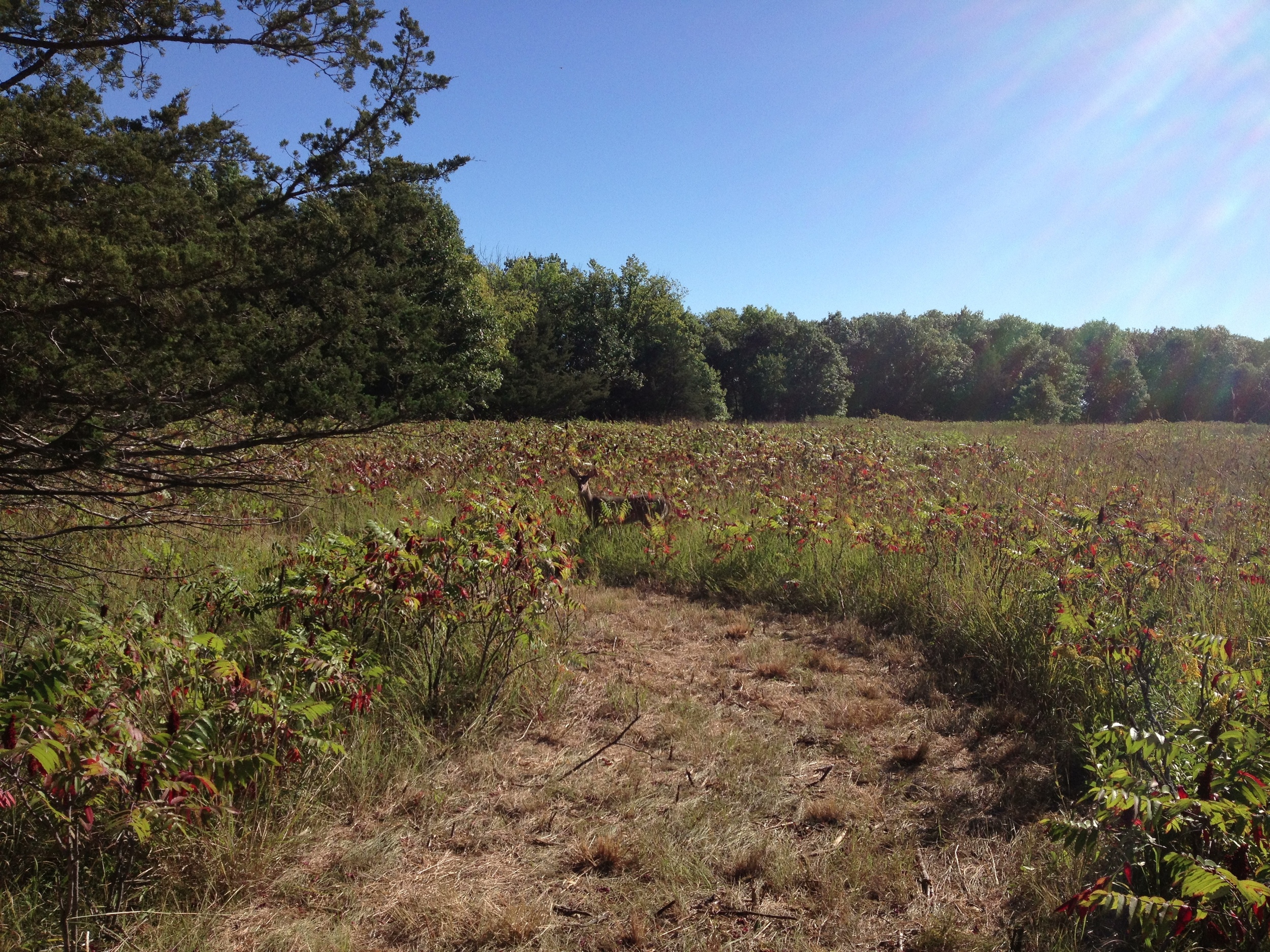
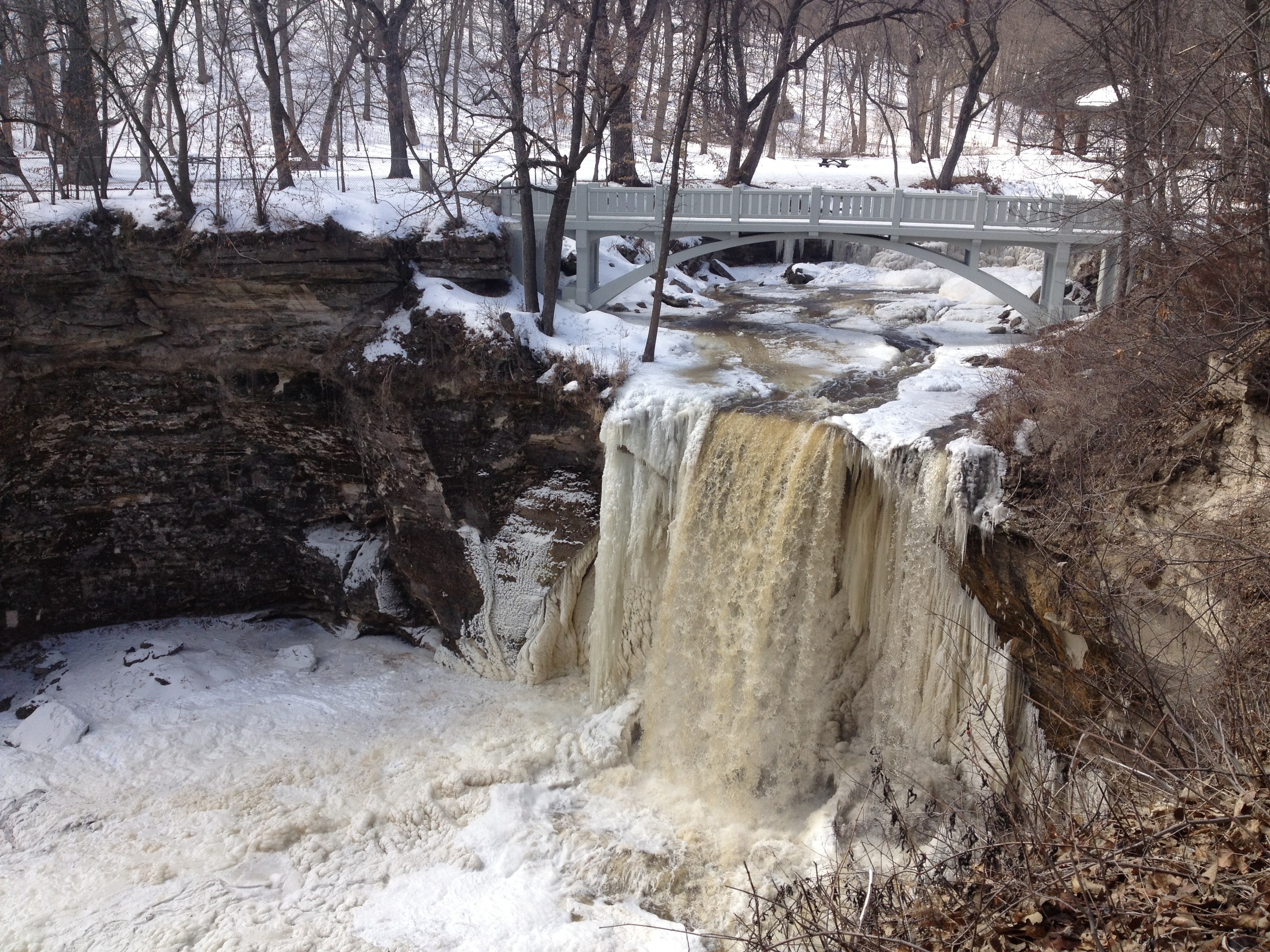
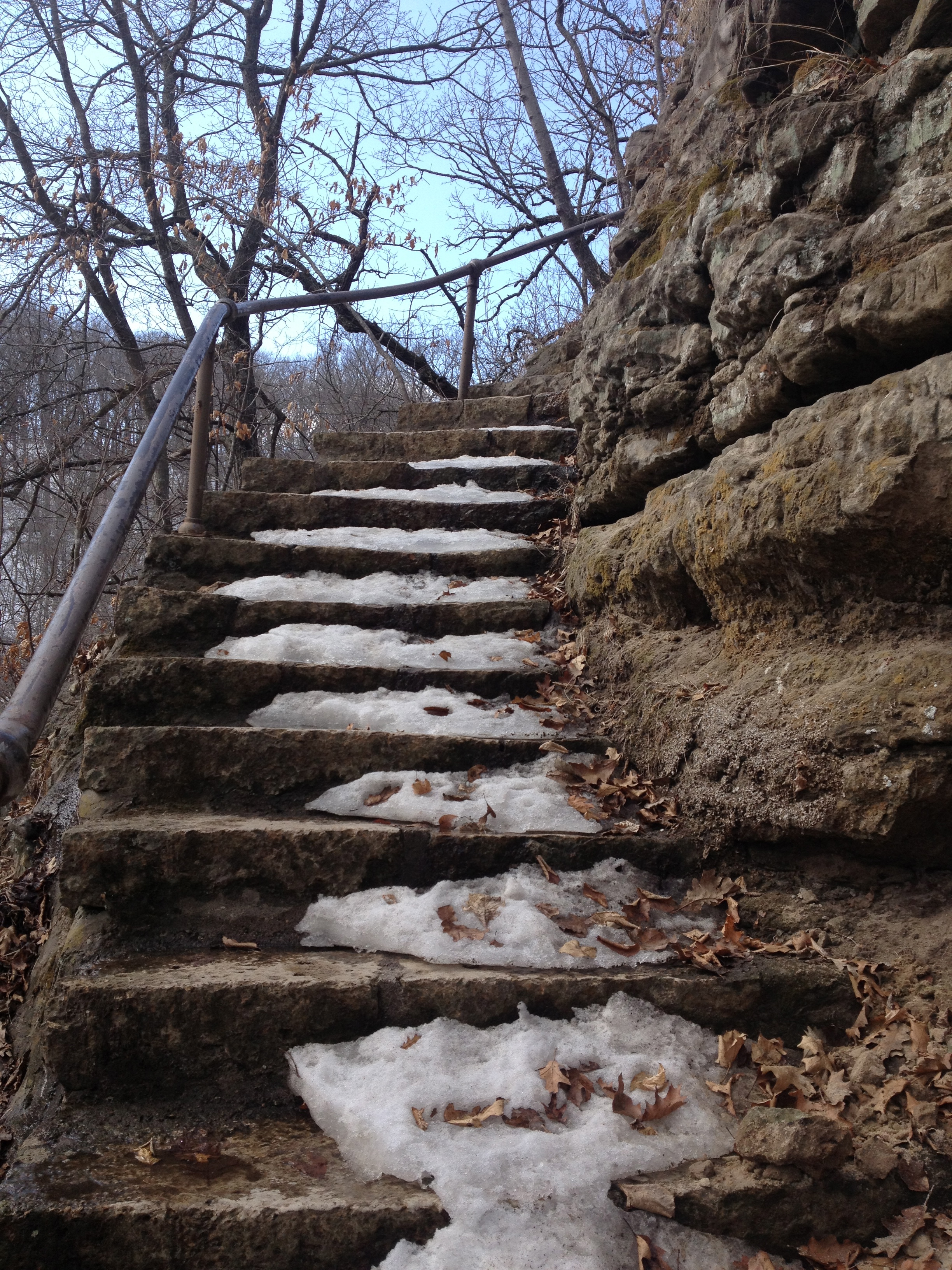
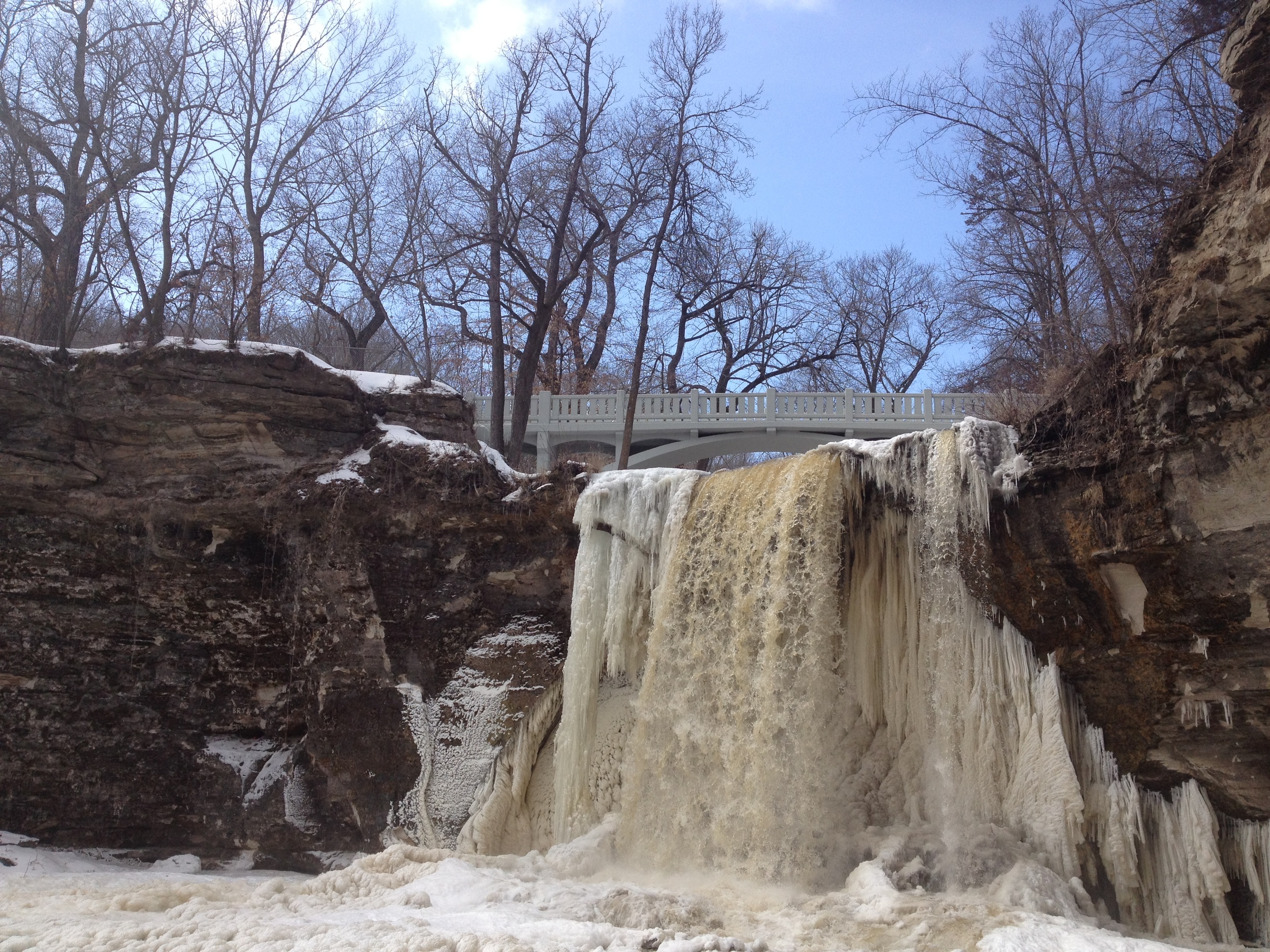
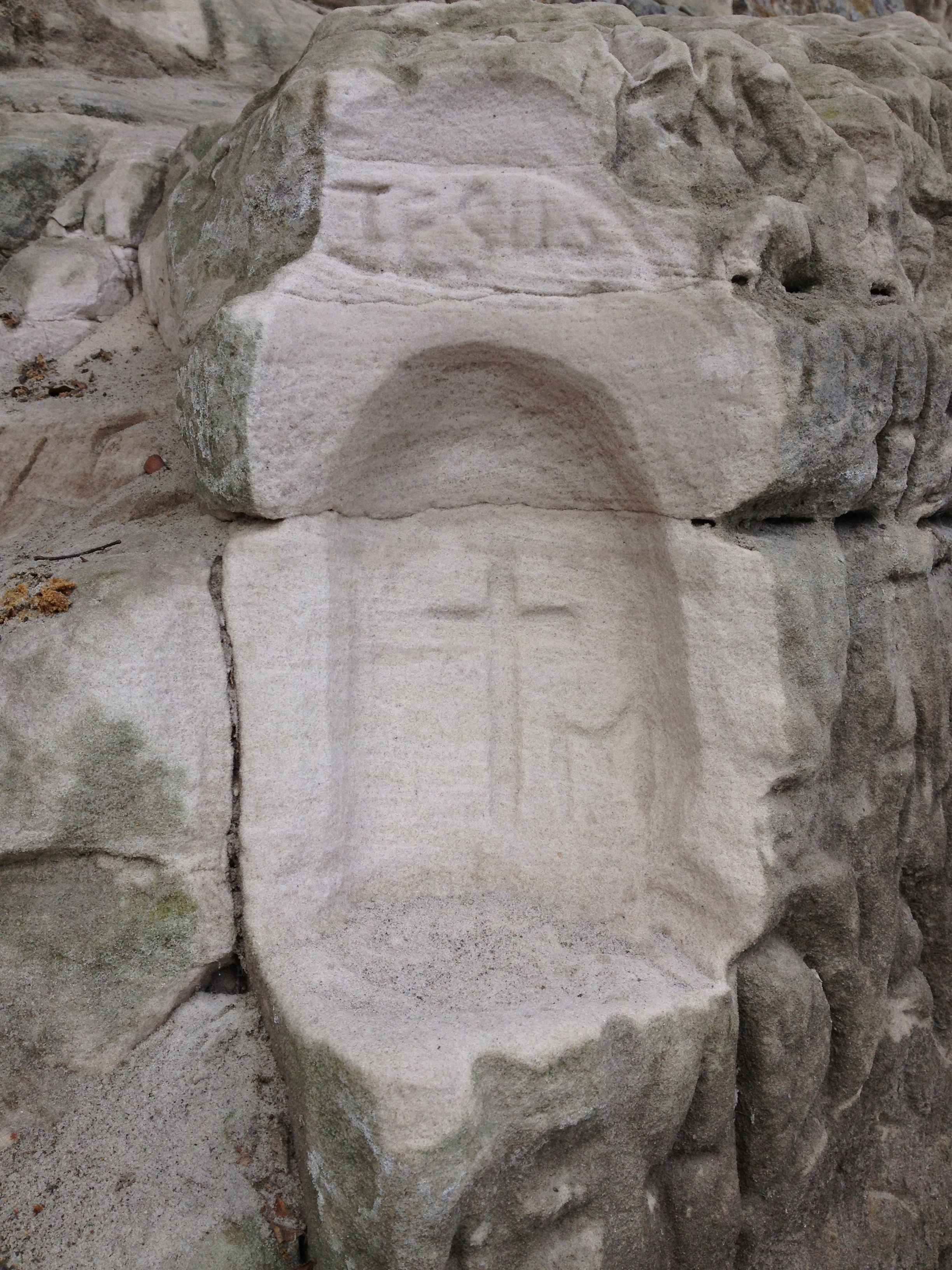
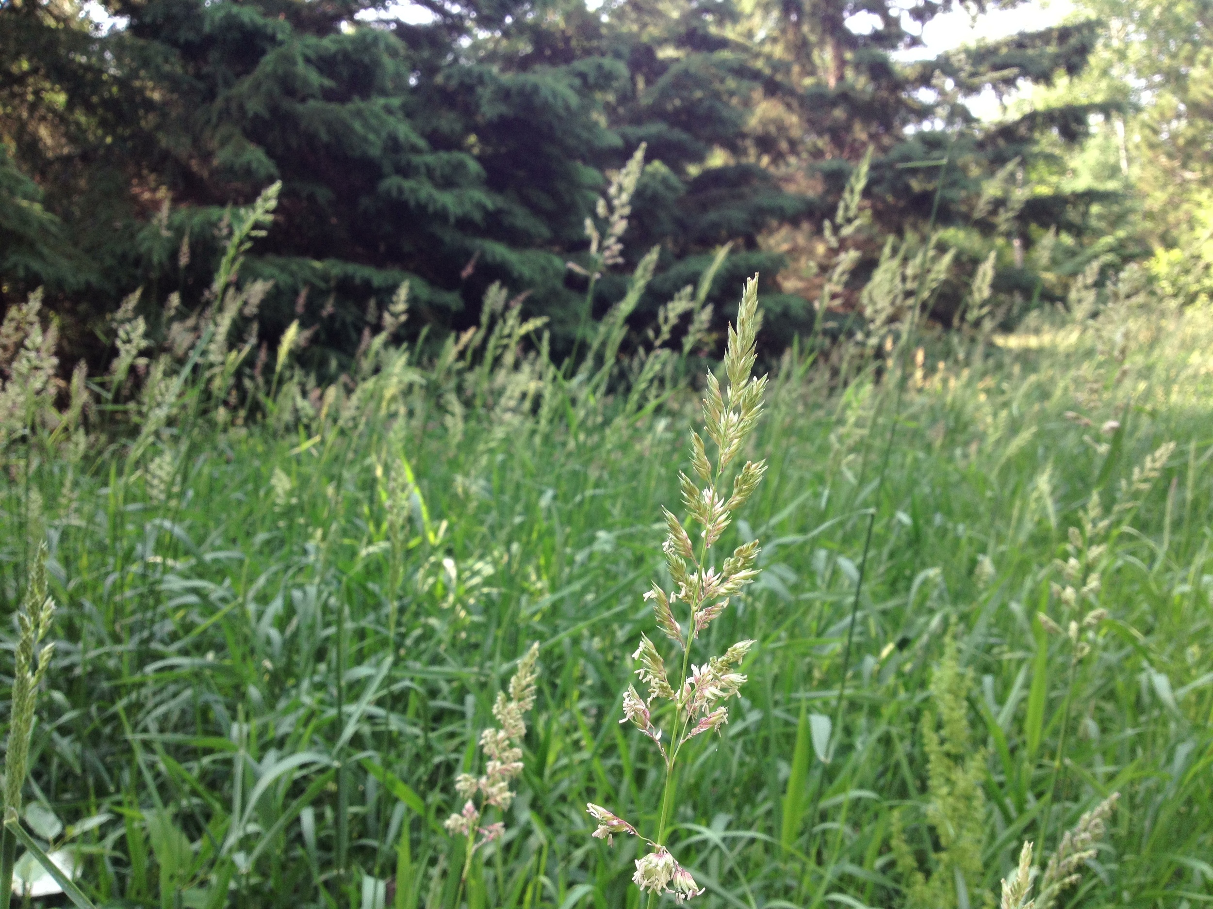
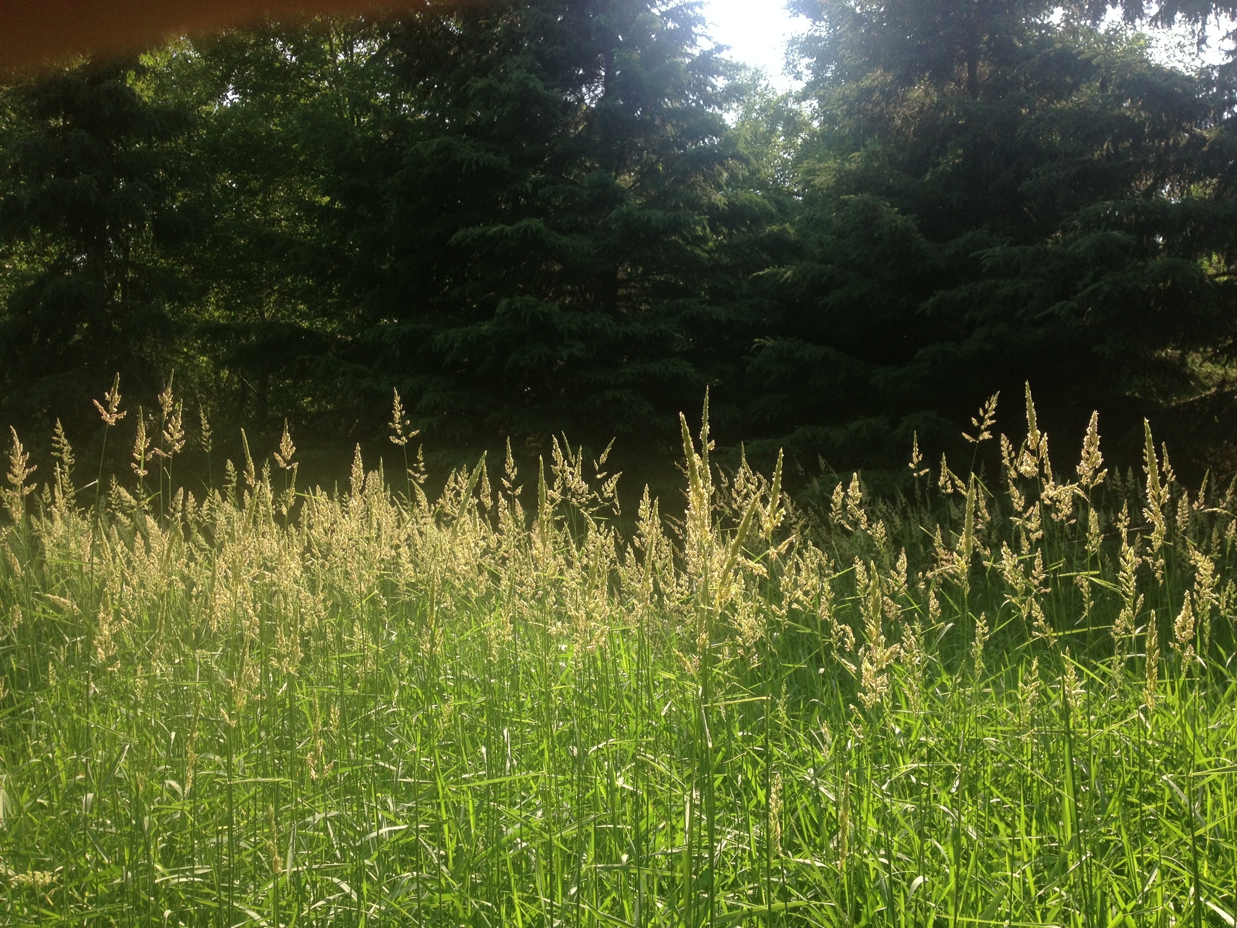
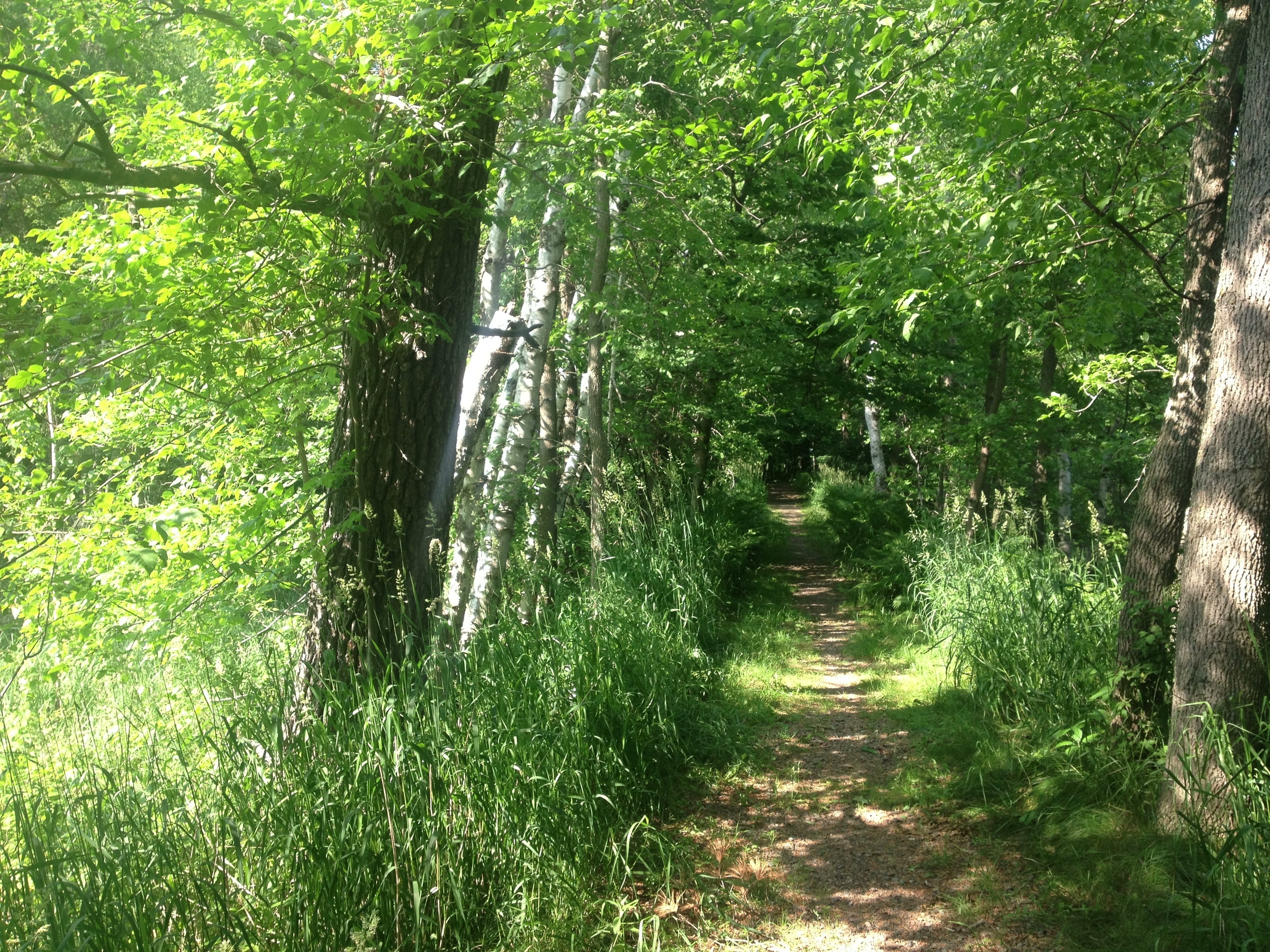
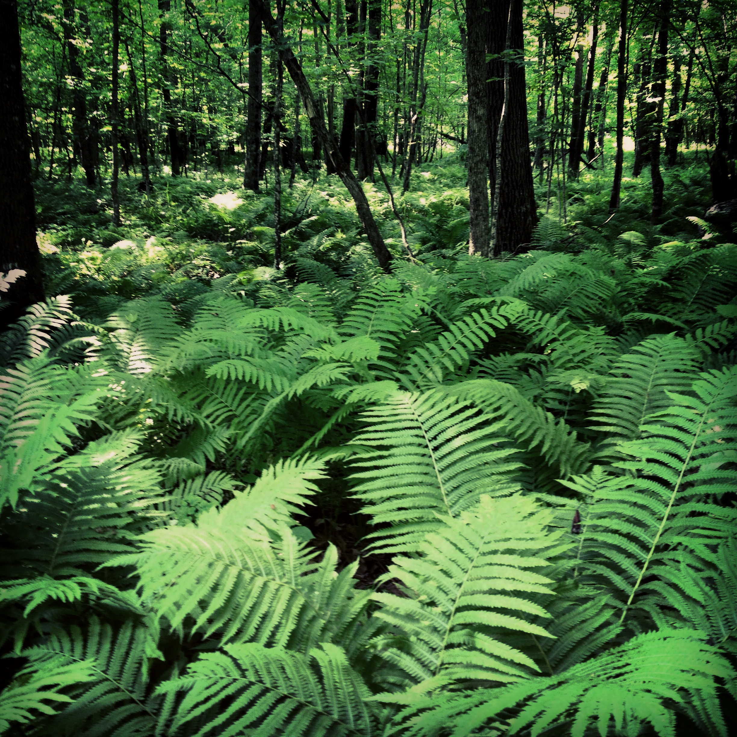
The Trail: The 2.6 mile trail starts at the beach and follows the shore of the lake until you hit the Split Rock Creek dam. It then wraps around through the prairie grass, rising up to an old CCC water tower (one of several in the state park system) before returning to the beach. But wait! You didn't find the password? That's because there is a second part of the trail that crosses the creek and (like usual) the password is at the very furthest point. The trail isn't anything special (especially compared to prairie trails at Glacial Lakes or Blue Mounds), but I gave this park a 4/5 because during the hours I waited for car help, I came to really like it. It has more of a relaxing city park feel than wilderness state park, but sometimes that's what you need.

Cumulative Miles Hiked: 28.8

Cumulative Miles Driven: 908

Arbitrary Rating: 4/5

Minneopa State Park

Minneopa Waterfall in Minneopa State Park outside of Mankato. Just thawing out. 

Prairie Route: The Prairie Route is such named because all of the parks on the second major stretch of hiking are, surprisingly enough, on the prairie. I've attached a map of the route at the bottom if you're interested, but it basically covers eight parks in southwestern Minnesota, six of which I did in this trip. (Remember these route distinctions are, like my rating system, totally arbitrary and invented by myself as I go). It could also have been called the Farm Route since much more of the land I drove through was farmland than prairie

The Drive: Hwy 169 through the Minnesota River Valley is one of the prettiest drives in the state. It is the gateway to the western farmland and is scattered with the kind of prosperous river towns that you only expect to see in the movies (and are usually set in Wisconsin). The road truly dips down into the valley as you enter Le Sueur - presided over by an immense statue of the Jolly Green Giant. As I coasted down the hill, the river valley spread out before me, a patchwork of fields, forests, and floodplains, reminding me just how different this trip was going to be than the one I had just taken up north. St. Peter, with it's historical mainstreet, forest of steeples, and distinguished college on the hill was probably just copied and pasted from a Currier and Ives painting. Mankato is also a college town - an image reinforced by the bar to church ratio.

The hike was basically a loop through a giant field. But there are deer hiding in this sumac.

The Park: Minneopa is just outside of Mankato and is fairly representative of the rest of the Minnesota River Valley - much of which is preserved in one way or another. The main attraction is Minneopa Falls, which usually thunders over its double cascade. However on my most recent visit, the largest waterfall in southern Minnesota was just a moist 45 foot cliff; the most interesting part was how vivid the green algae in the creek was. Try to visit in the spring for full effect or if you're feeling particularly adventurous, visit in the winter as I did and check out the amazing ice the frozen falls produce. On the other side of the park, where the hiking club trail is, there is an old windmill and granary that is worth the half-mile hike to see.

Rock Graffiti at Minneopa State Park. 

The Hike: I gave this 2.7 mile hike a 3/5 mostly because it is kind of boring. It could just be because I live five minutes away from the river valley and I see this kind of landscape all the time. The hike starts in an oak forest that quickly opens up into a savanna, red with autumn sumac. The area had just been burned and the pungent, but not unpleasant smell of charcoal was my first and strongest impression of the place (I lived for a while in the African savanna and this smell brought me right back there). The trail splits off in several places and is poorly marked, but taking a wrong turn isn't always a bad experience. On one such mishap, I was rewarded by the sight of several bucks leaping across the savanna, their antlers still covered in velvet. However, if you stay on the straightest course, you'll probably be alright. At one point you have the option to take a detour to see the old stone windmill and you should take it if you're not in too much of a hurry. The rail loops back straight through the savanna, across the park road, and back to the parking lot.

Unless you're in Minneopa specifically for the hike, checking out the falls is all you really need to do.

Cumulative Miles Hiked: 26.2

Cumulative Miles Driven: 772

Arbitrary Rating System: 3/5

Prairie Route

Fort Snelling State Park

Exposed Cottonwood Roots on the Mississippi River at Fort Snelling State Park

The Drive: Good news for all you Twin City dwellers, Fort Snelling State Park is just five minutes from both Mall of America and Minnehaha Falls. This means you have absolutely no excuse not to go check it out. It also means there's not much to talk about in the drive section.

The Park: This park has a lot to offer from a swimming beach, to a great interpretive center, to a living history fort. It's biking trails connect to the citywide bike system. (That means you can bike there from almost anywhere in Minneapolis which really leaves you no excuse). At the confluence of the Minnesota and Mississippi Rivers, the area has been politically and spiritually important for American Indians for thousands of years. The park is the site of one of the first European settlements in the state. It is also the site of the Dakota Internment camp where thousands of Dakota were imprisoned during the US-Dakota War of 1862. The old fort is run by the Minnesota Historical Society and is definitely worth checking out.

Historical interpreters bring history to live at the restored Fort Snelling

The Hike: The Hiking Club route loops around Pike Island, named for Zebulon Pike the famous explorer who also discovered Pike's Peak in Colorado. From the parking lot, head past the visitor's center (but be sure to check it out at some point and take note of the bucks with interlocking antlers mounted on the wall) and follow the trail to the bridge. The island is right at the Minnesota-Mississippi confluence, so you can see these two great rivers gently flow into each other. Giant cottonwoods line the beginning of the trail, many with hollow spaces big enough to completely envelop a person. There are many deer on the island, so keep a weather eye out for them. One final thing to look for are the water marks on the trees. If you catch the forest just right, you can see a change in bark color at exactly the same height on every tree. Water can be six or more feet above trail level during spring floods.

Cumulative Miles Hiked: 23.5

Cumulative Miles Driven: 694 (If we include my jaunt to the boundary waters, it would be 1494 miles, but we'll leave that out for now).

Arbitrary Rating: 4/5

Father Hennepin State Park

No land in sight! Mille Lacs is definitely a big lake. 

The Drive: It is my opinion that you can only call a lake 'big' if you can't see the far shore. This means that despite being the land of 10,000 lakes, there are only around ten big lakes in Minnesota. Father Hennepin State Park is just a short 15 mile drive from Mille Lacs-Kathio State Park around the south side of Lake Mille Lacs. Although I've driven by this lake countless times, it is always thrilling to drive around a bend and see this aquatic landscape open up in front of you. Most people only see it from Hwy 169, but on route to Father Hennepin, you'll get a chance to see it from quaint cabin towns and open pastures. Lake Mille Lacs is the gateway to Minnesota's cabin and fishing country, so don't be afraid to pull over and take a picture with a kitschy roadside statue (likely a giant fish). It's part of the cultural experience.

Beach Treasures at Father Hennepin Park 

The Park: Father Hennepin is both smaller and more heavily used than any of the other parks I've visited. If you are looking for a wilderness camping experience, look elsewhere. On the other hand, if you are looking for a natural place to park your RV and go swimming on 4th of July weekend, make sure you reserve ahead of time, because this place is packed. The biggest draw might be a group of albino deer that supposedly live in the park's forest, but I never saw any. And most importantly, the breeze from the lake keeps most of the mosquitos away, which more than anything else is why this park got a 5/5 on my arbitrary rating system.

Father Hennepin State Park is nothing if not pleasant. 

The Hike: Beginning at the picnic grounds, this hike starts by cutting right through the campground (RV Parking Lot) before hitting a paved trail to the beach. Although far from mindblowing, this portion of the hike was extremely pleasant. It gave me a chance to relax after two days and 20 miles of uneven ground, changing elevation, voracious insects, and roots that mysteriously pop up and trip you. Take the short detour to the point before you hit the beach. It gives a great panorama of the lake and you can begin to get a sense of its the massive scale. The trail then loops around through the park's birch woods and marshes - taking you on an easy ramble through its less visited portions - before returning to the picnic grounds.

Cumulative Miles Hiked: 20.5

Cumulative Miles Driven: 582

Arbitrary Rating: 5/5

And congratulations, you've finally finished Part 1 of the Great Minnesota Road Trip. Here is recording of The Northern Lights playing Minnesota for your trouble:

Mille Lacs-Kathio State Park

Wetlands. Just what I like to see when I'm trying to avoid Mille Lacs-Kathio State Park's truly prodigious population of mosquitos 

The Drive: At some point everything starts to look the same. Each farm and forest and lake and town with a population under 200. I guess there is a reason County Road 2 hasn't been named a Minnesota Scenic Byway yet.

The Park: Mille Lacs Kathio State Park has a number of wonderful attractions that make is worth visiting, but from my experience the number one reason to visit the park is for a chance to glimpse the rare and beautiful mosquito. Unlike many state parks that are tragically mosquito free, Mille Lacs is unusually abundant in the fragile insect. They have even converted an old fire tower into a mosquito observation deck where you can quietly watch beautiful examples of culiseta longiareolata tranquilly buzzing among the trees below. And be sure to check out the council ring and the archeological sites of the Ojibwe, a tribe known for revering and protecting this most elusive of flies. I was lucky to come during a wet year when the park's many bogs and wetlands were saturated and produced record mosquito populations. Resident mosquito researchers say this year could make all the difference in the long term viability of the non-endangered bug.

The view from the Fire Tower. You can't see them, but there is nothing as relaxing as the sound of 10 million blood sucking insects buzzing in your ears.

The Hike: The 3.2 mile hiking club trail winds through some of the best mosquito territory in the park. Beginning almost immediately upon exiting my car, I was lucky encounter a mother mosquito with a whole brood of young. It was a small family, not more the five thousand monthlings, but quite a site for my mosquito starved soul nonetheless. The trail follows Ogechie lake, a favorite mosquito habitat, past several historical markers (which I was unable to stop and see due to my fear that too many mosquitos might land on me and be exposed to my toxic blood), before moving inland. It was such a blessing to me to be able to give part a my self (a pint of blood) to support the mosquito population that when I finally hit the road again and the mosquitoes left me, being naturally afraid of open spaces, I felt their loss deeply. But I was able to remember the experience for weeks afterwards thanks to the rounded "mosquito kisses" that remained on my skin to mark the place where each of these mystical creature had alighted.

Flowers are hard to appreciate in the presence of a the swarms I encountered. 

Cumulative Miles Hiked: 18.5

Cumulative Miles Driven: 567

Hike Type: Pine, Hardwood, Bog, Lake, Road, Buggy

Arbitrary Rating: 2/5

The Mosquito Route

I apologize that this post doesn't say more about the park and trail, but you can easily understand how overcome I was by the mosquitoes. It was hard to concentrate on anything else.