State Parks

Temperance River State Park

Temperance River State Park Hiking Club Trail 

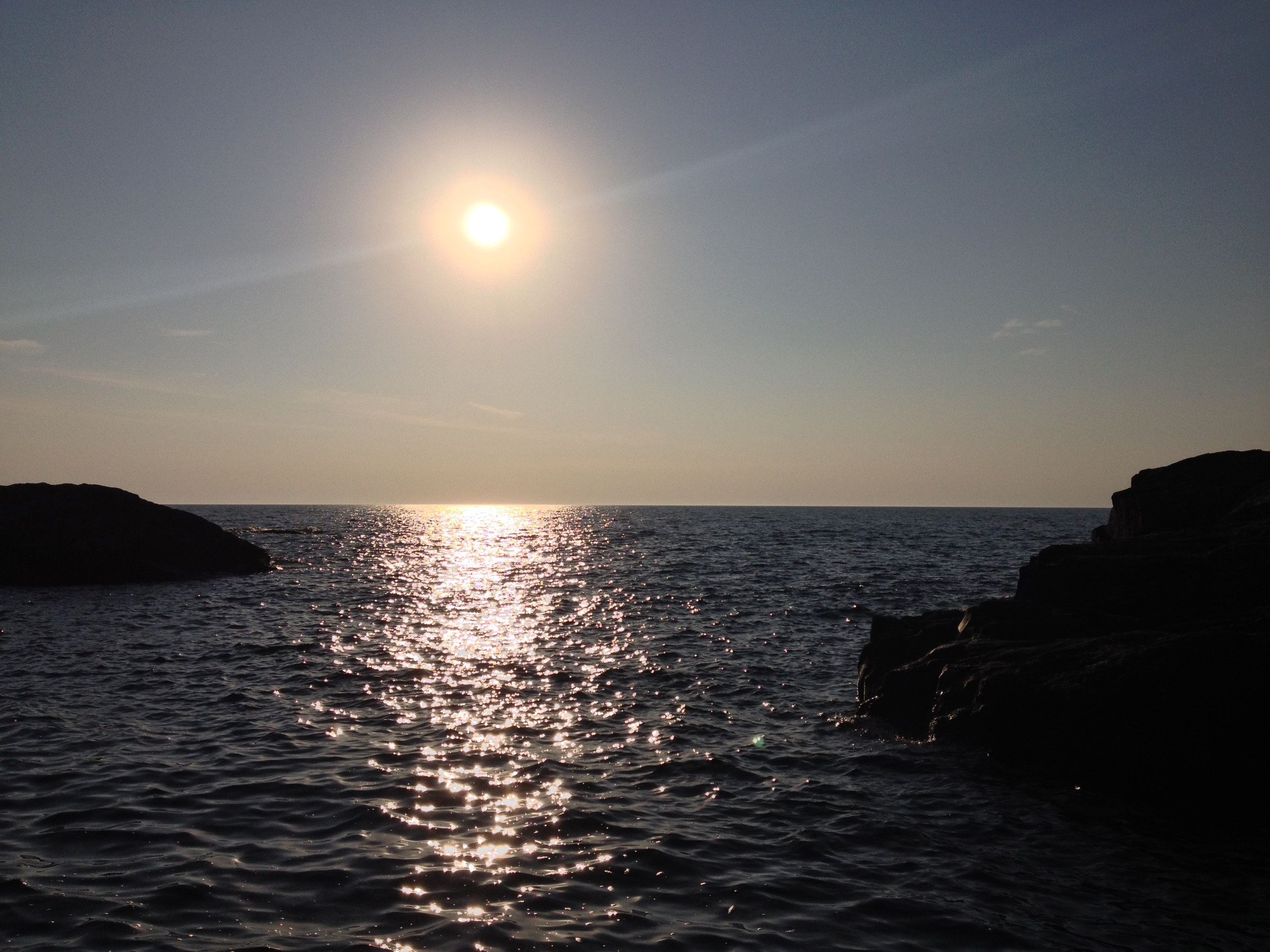
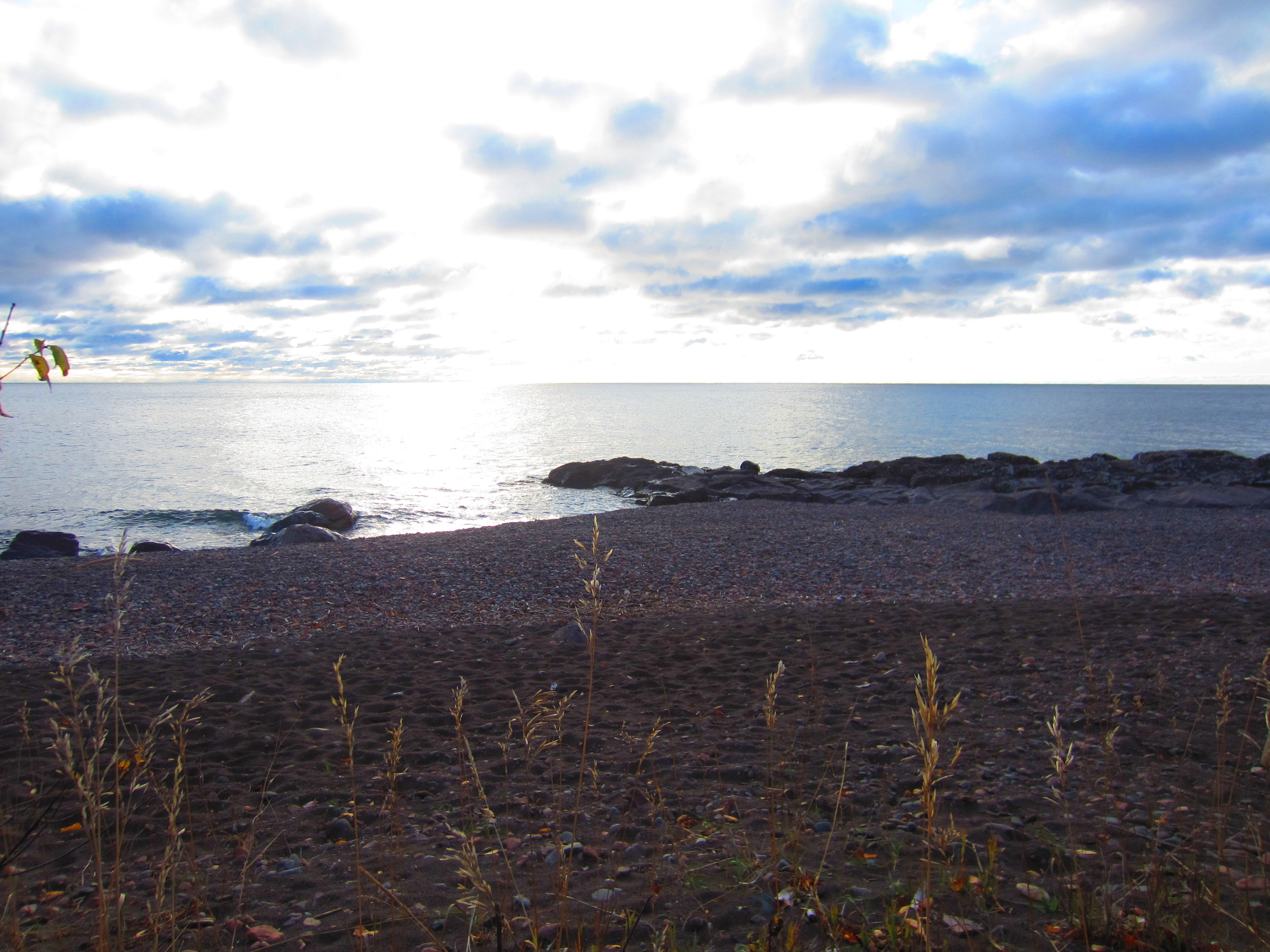
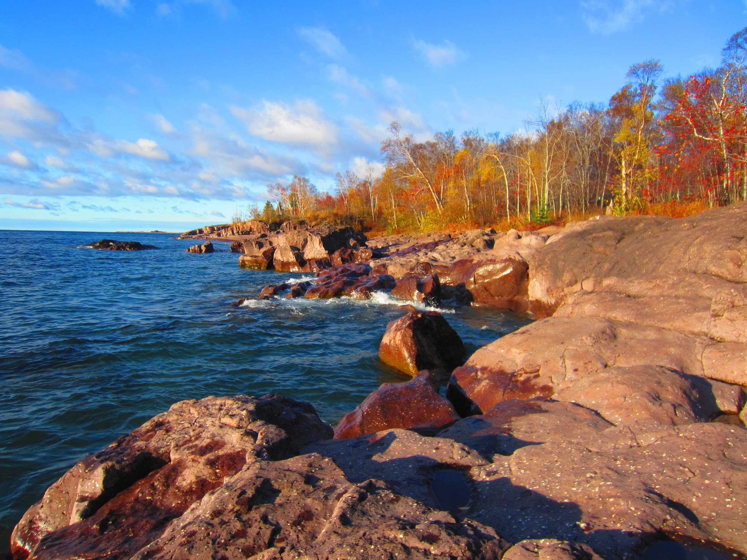
The Drive: The North Shore Scenic Byway on Hwy 61 is probably the most famous and well traveled scenic route in Minnesota and for good reason. It runs from Duluth to Canada along the north shore of Lake Superior, crossing twenty-one rivers with waterfalls (and many without), passing through seven state parks, three state waysides, four state forests, a national forest, a national monument, an Indian reservation, and about a dozen small towns. And of course the main attraction is Lake Superior, the greatest of the Great Lakes. The largest freshwater lake in the world, Superior never, ever gets old. It is different every time I'm up there and I appreciate it more and more with each trip. There are many beautiful roads throughout the state, some more beautiful in their own way than Hwy 61, but none are as grand.

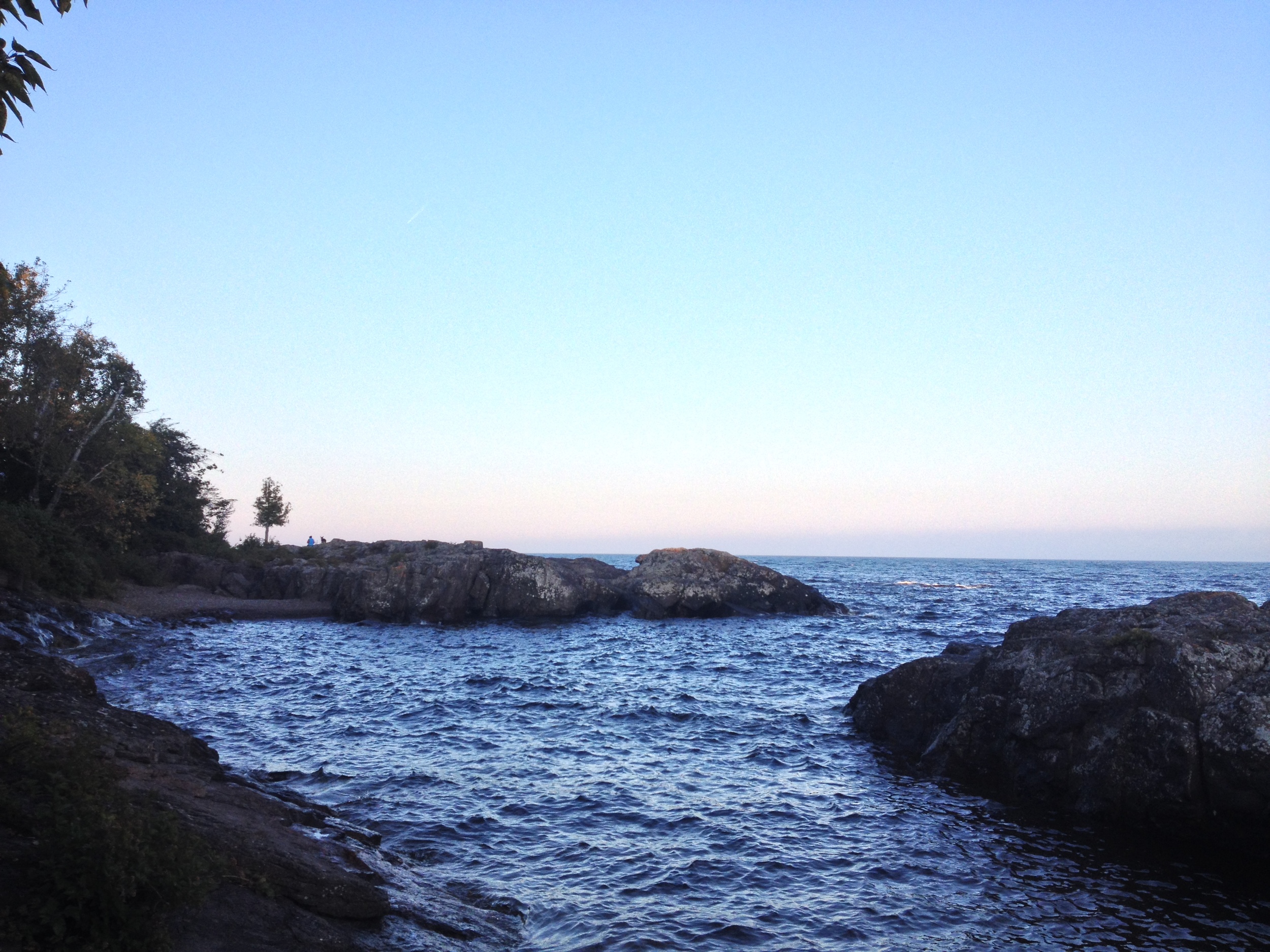
Canada Geese swimming in Lake Superior at Temperance River State Park 

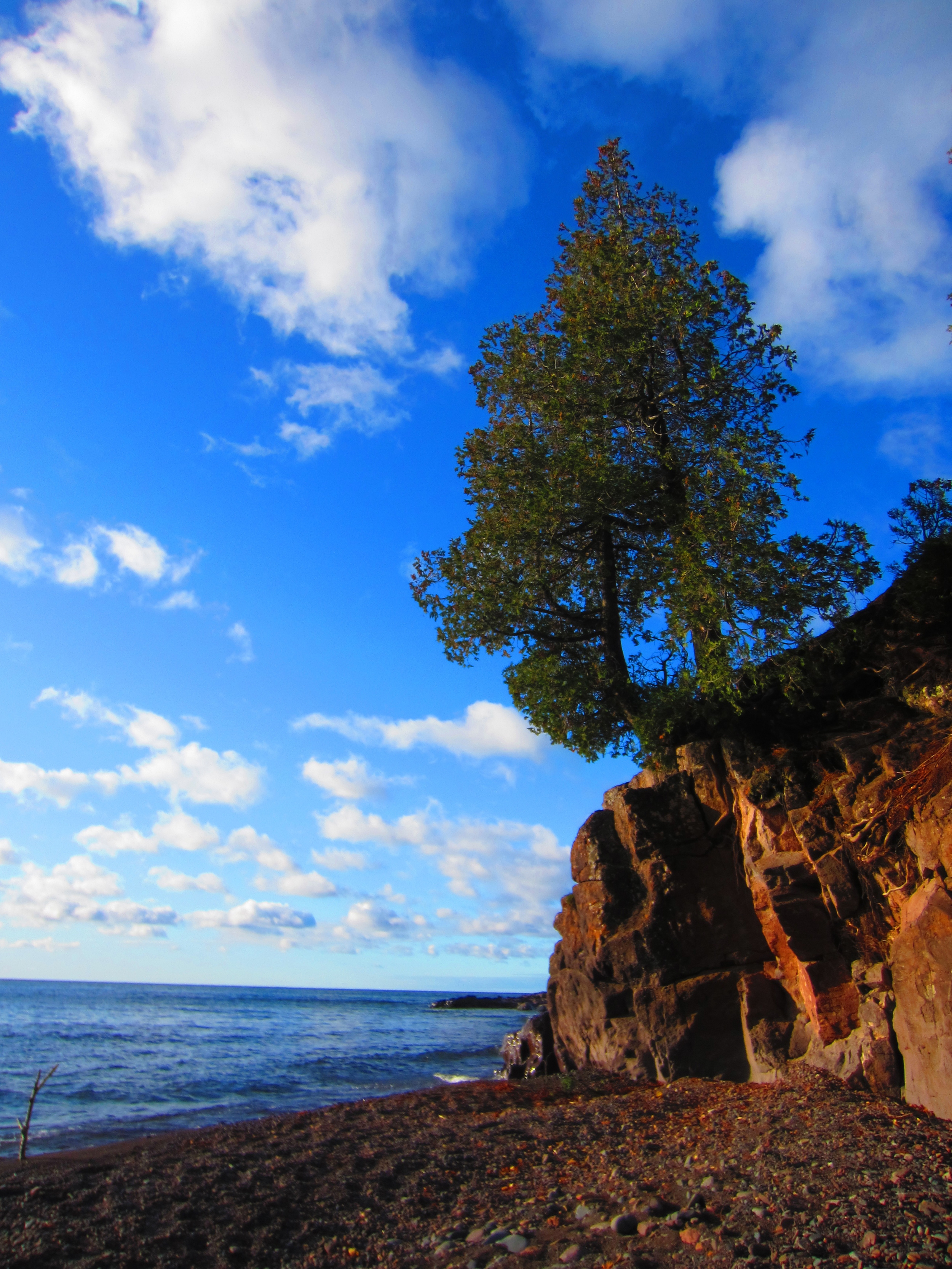
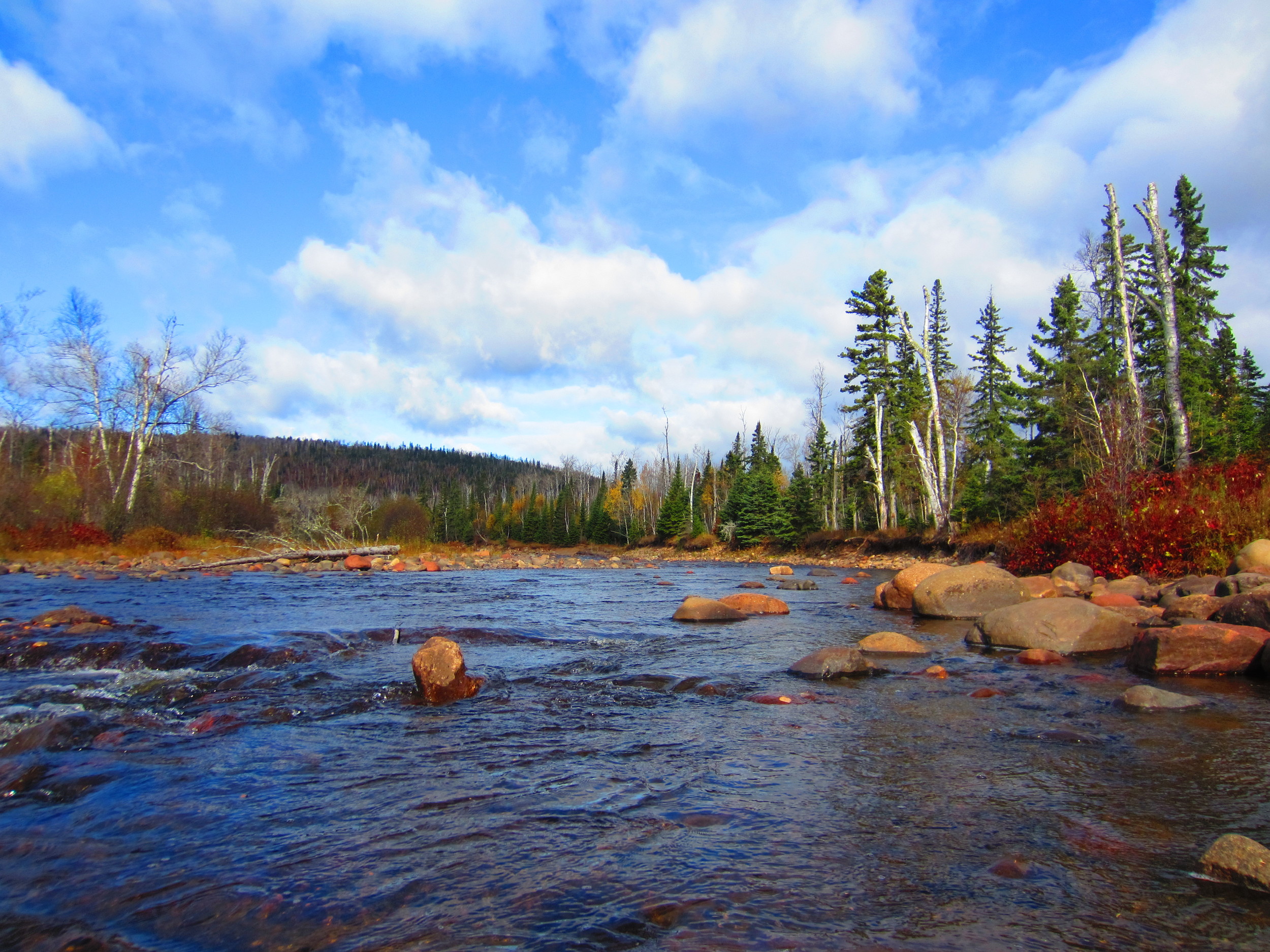
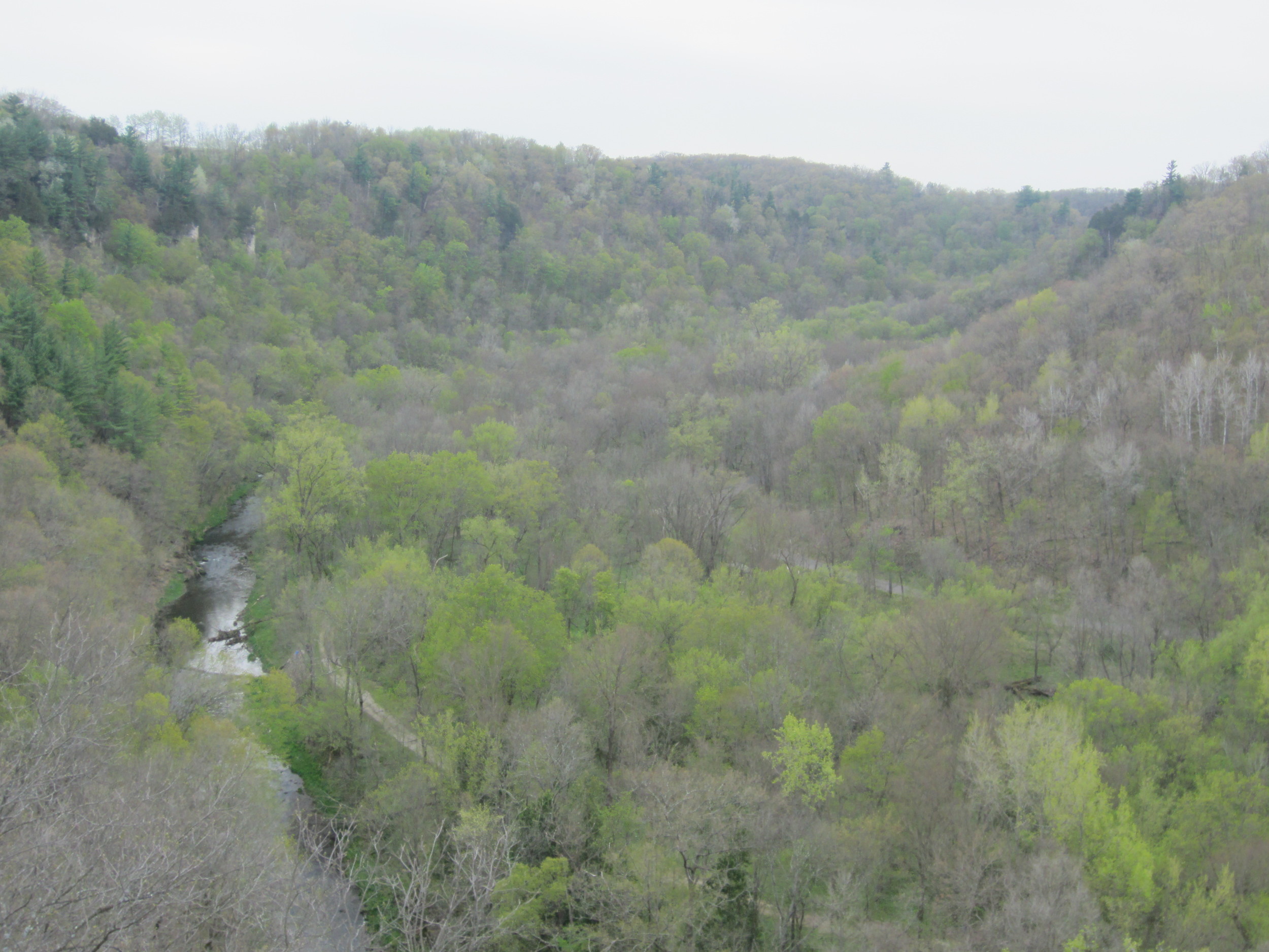
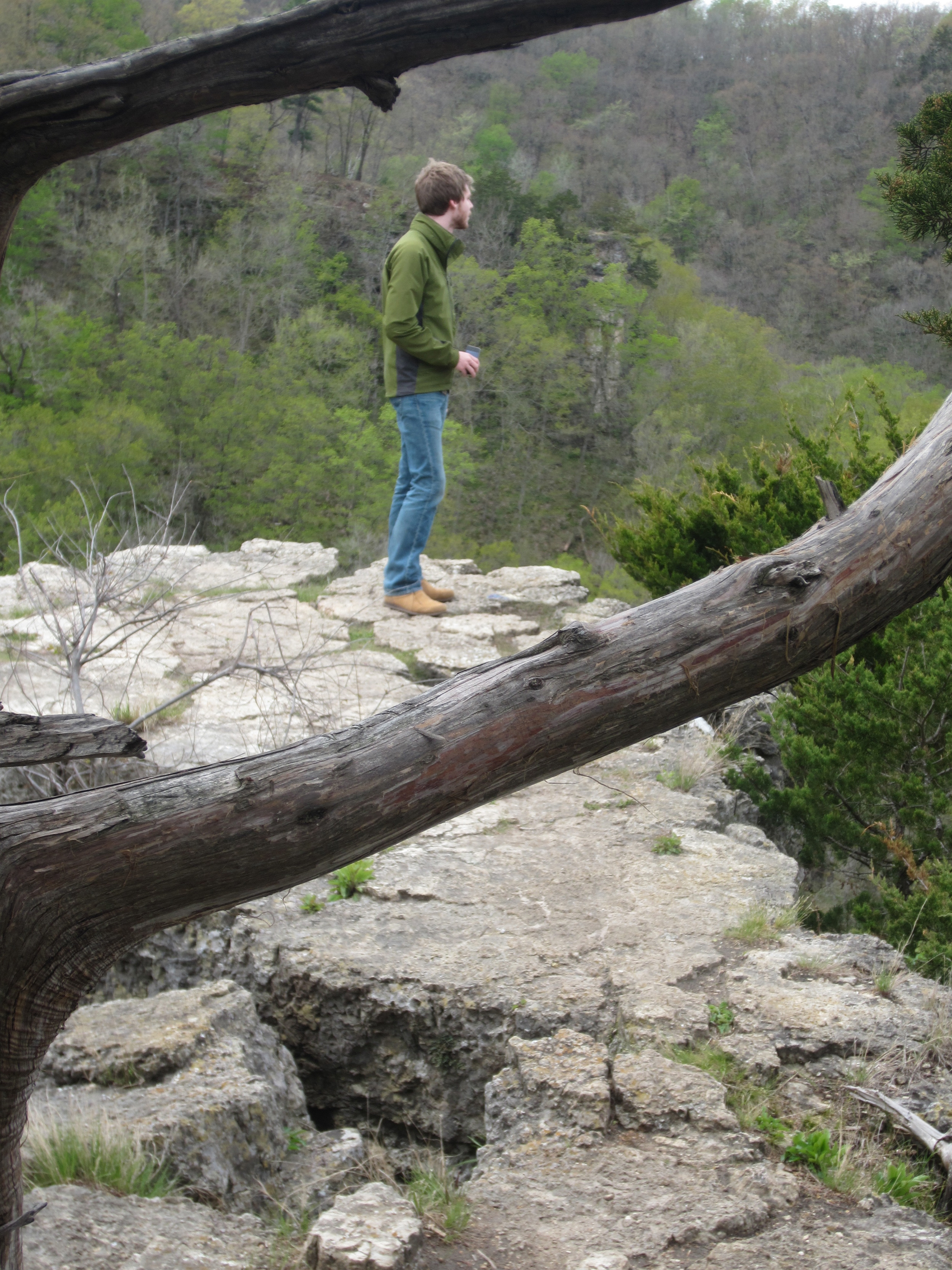
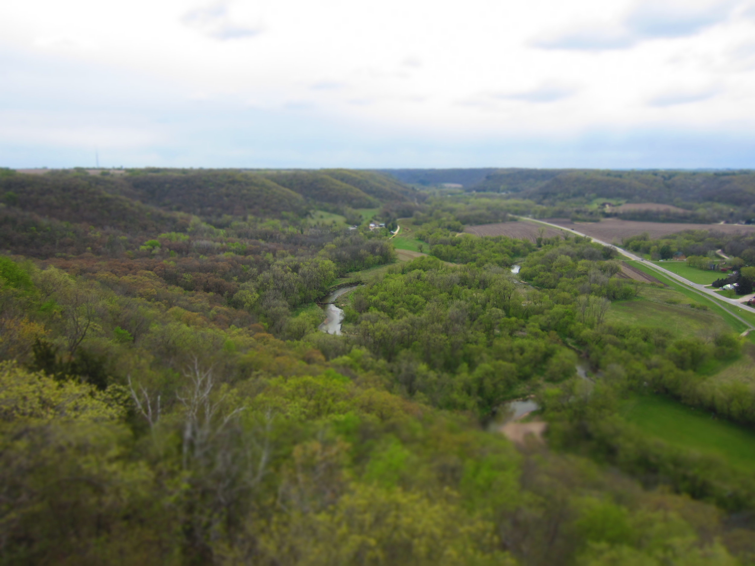
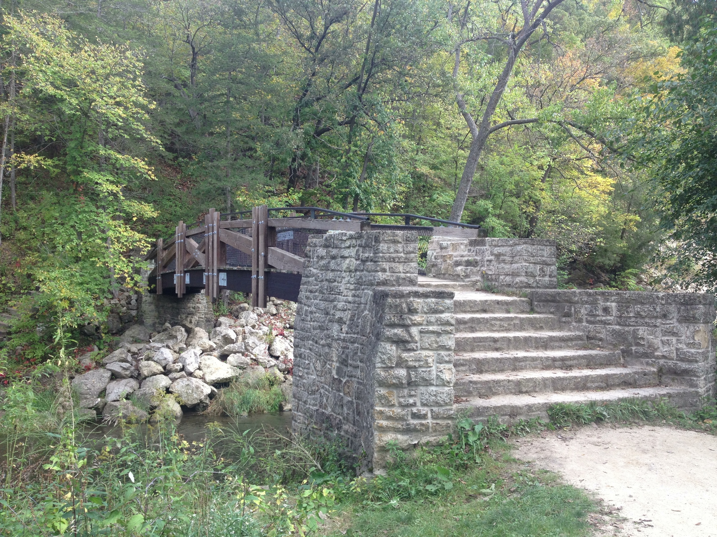
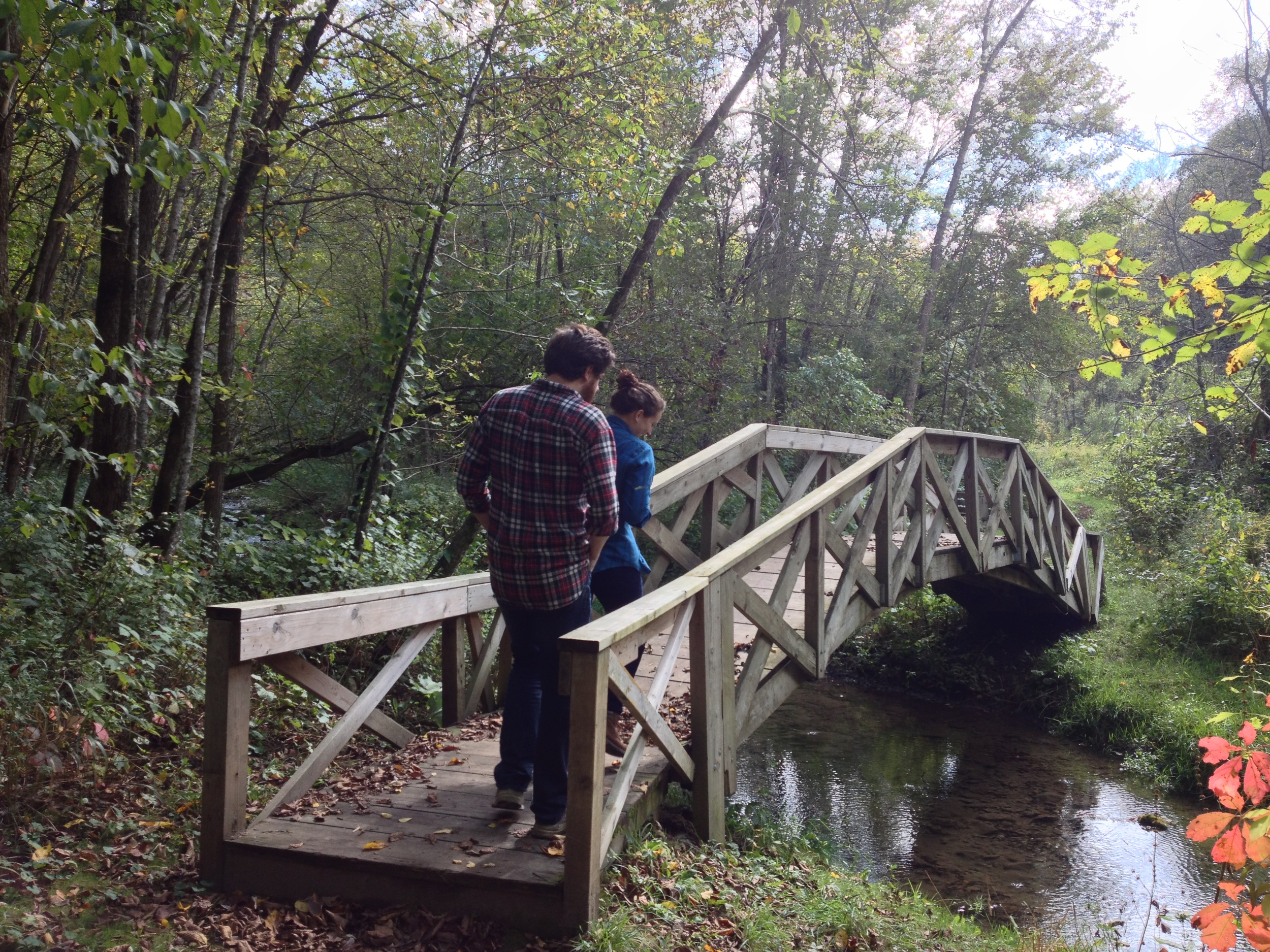
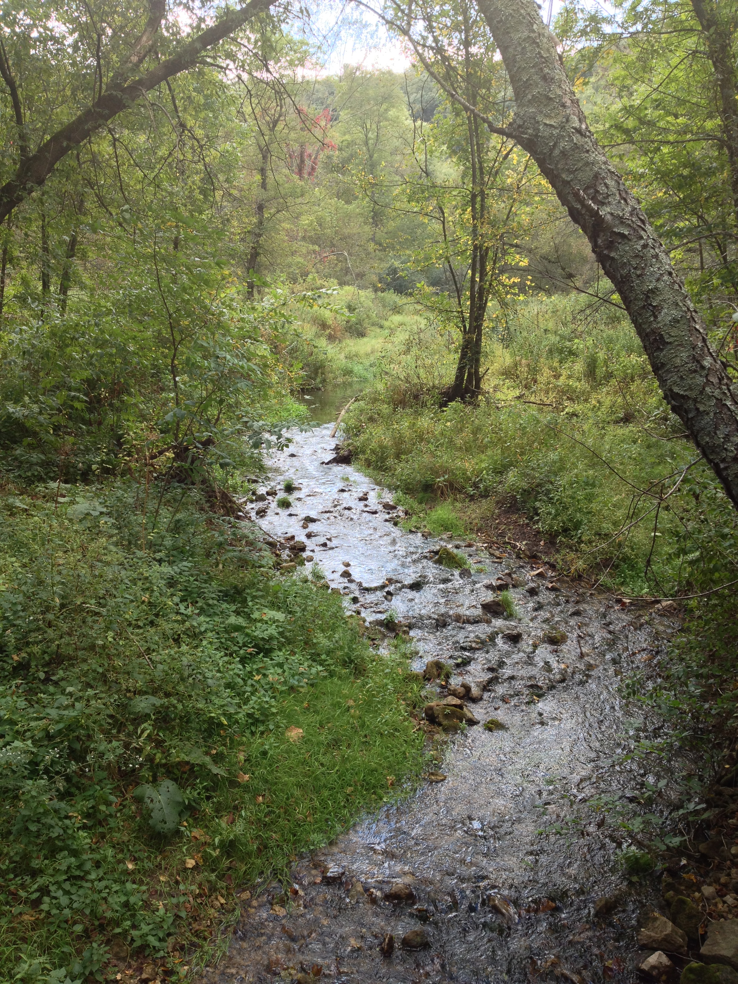
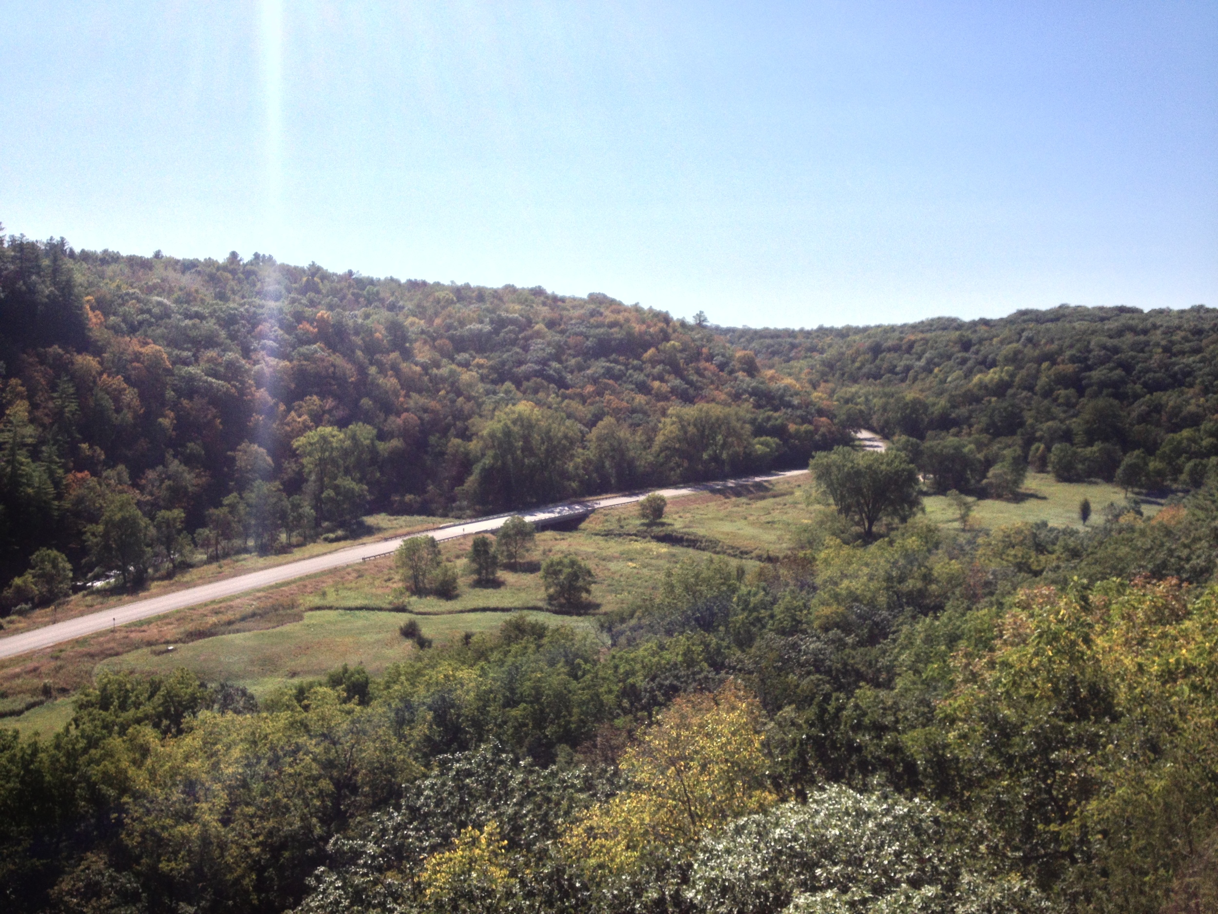
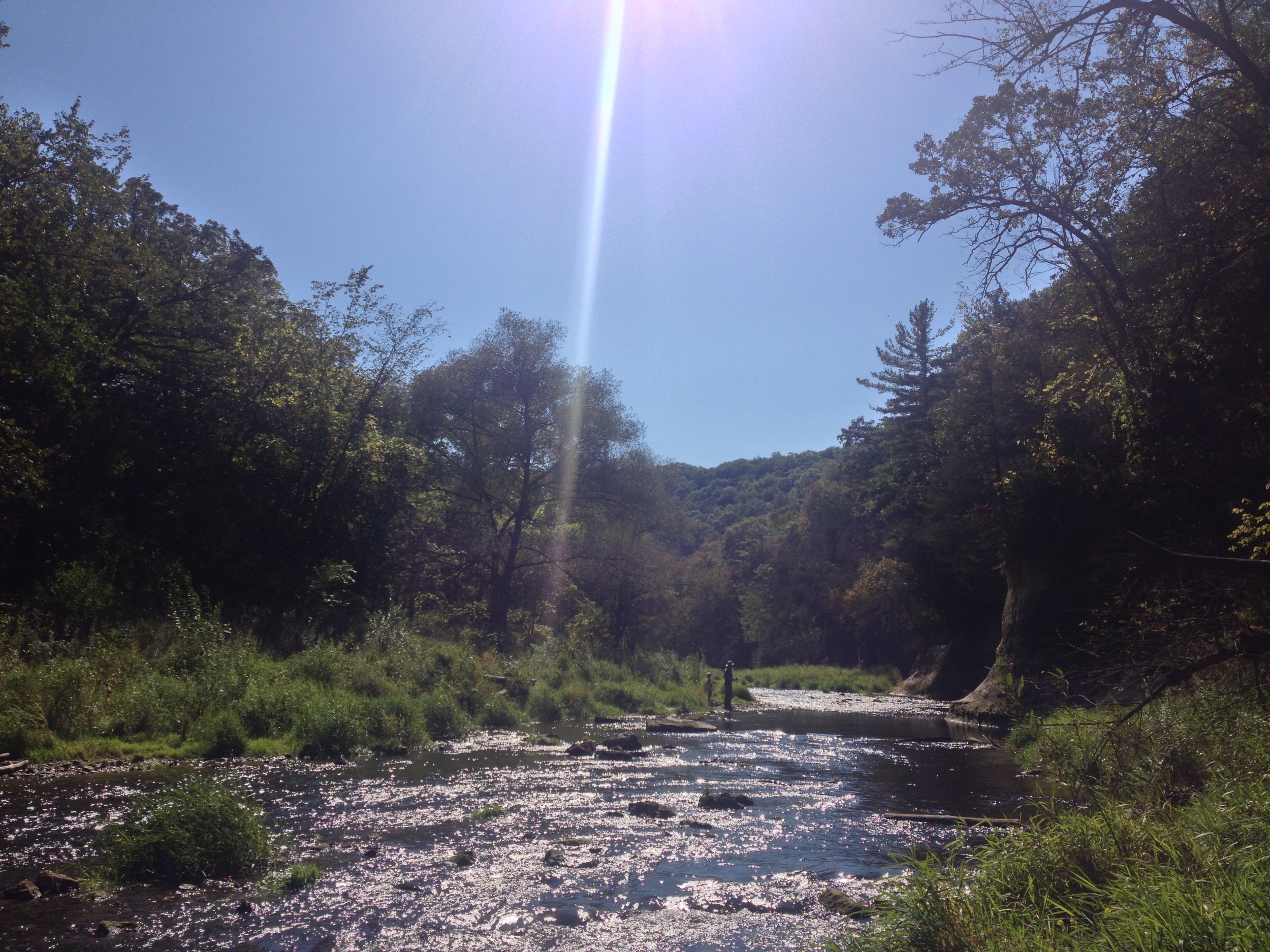
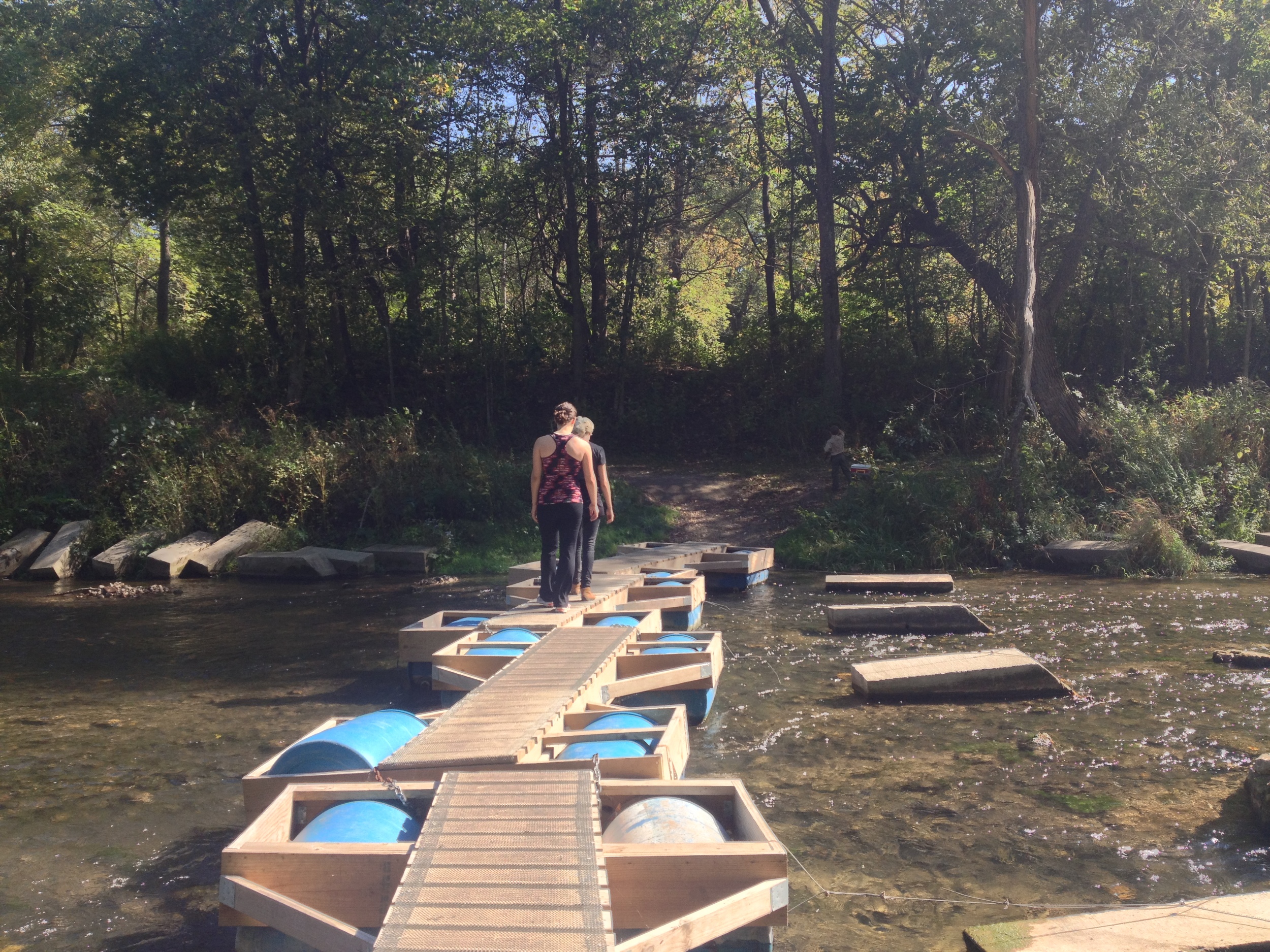
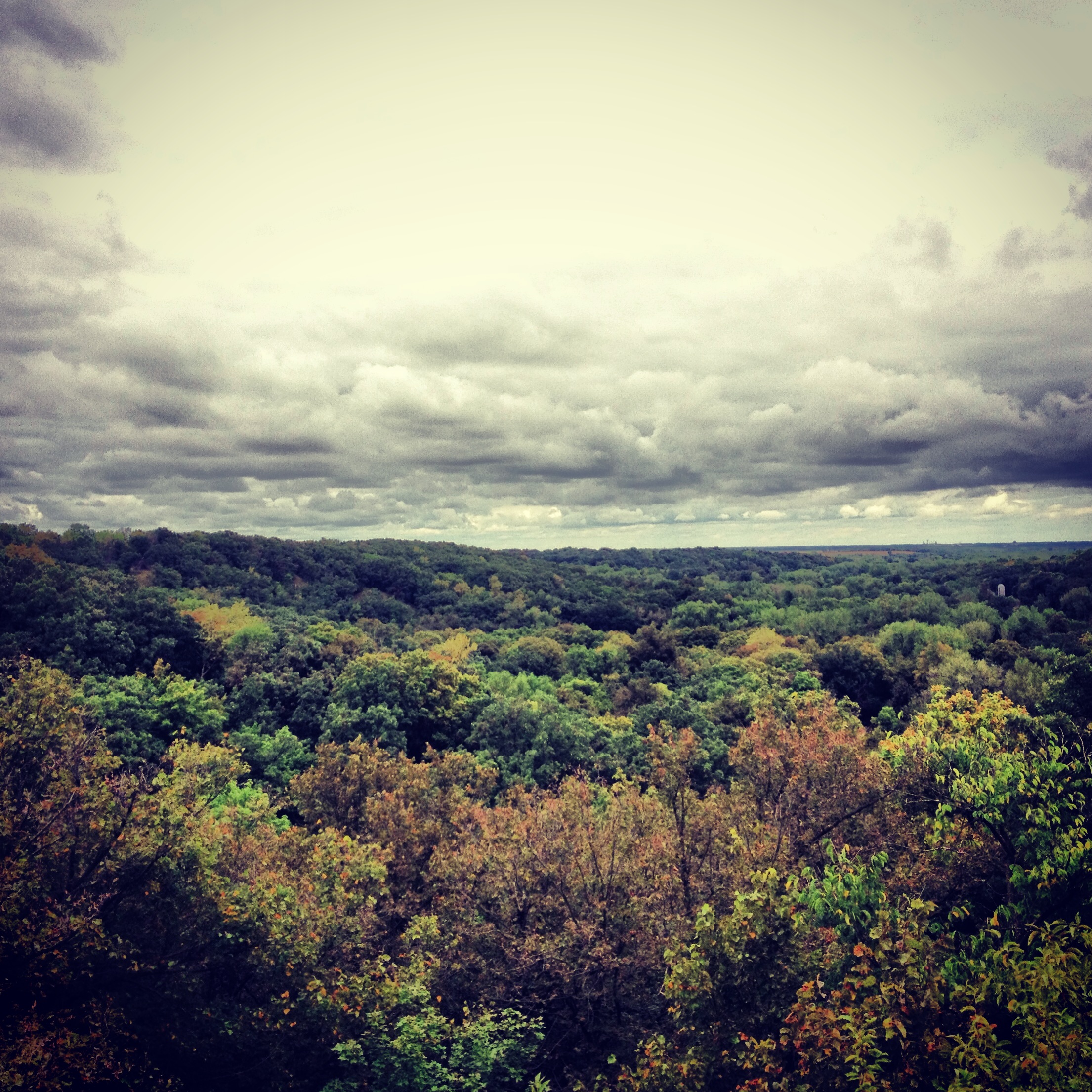
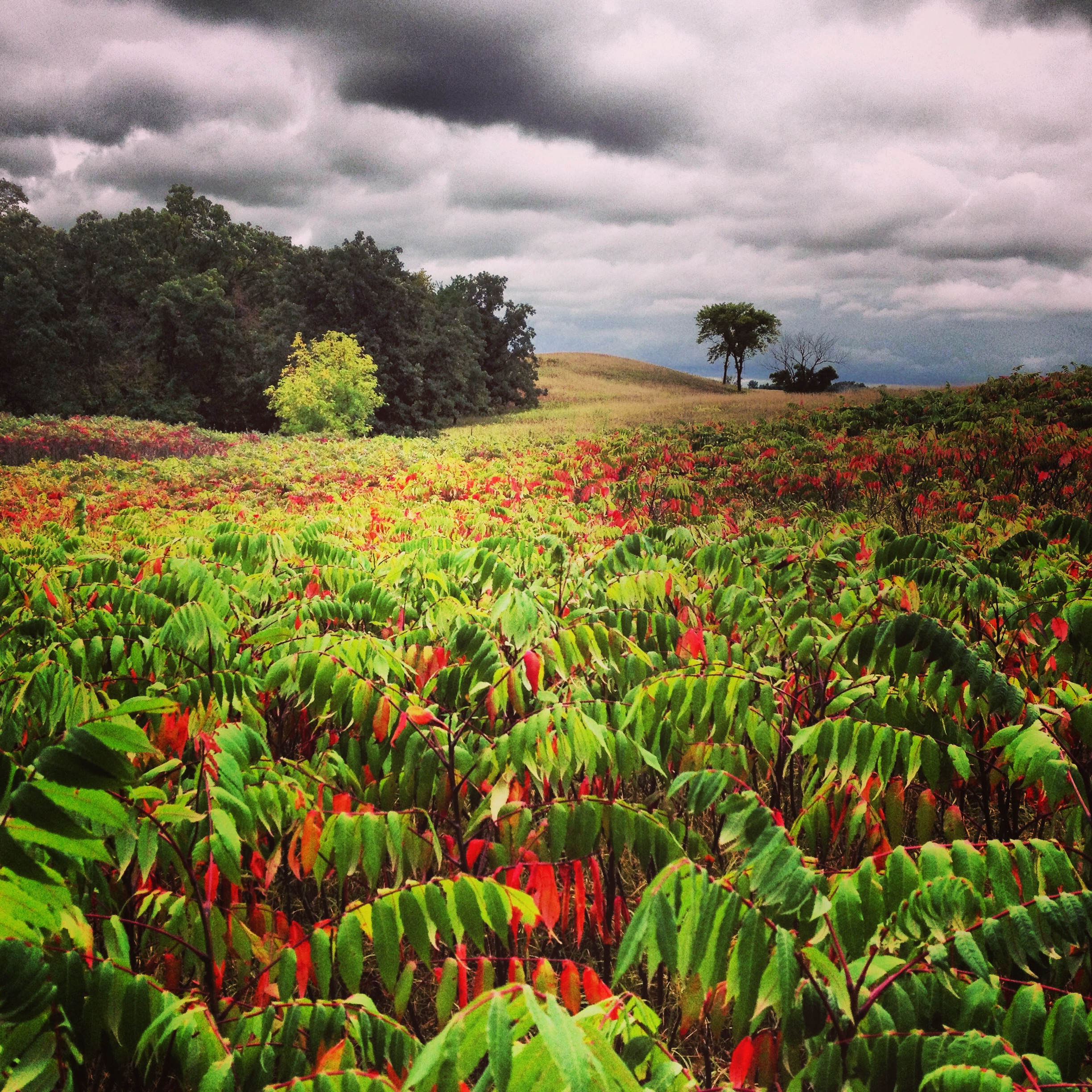
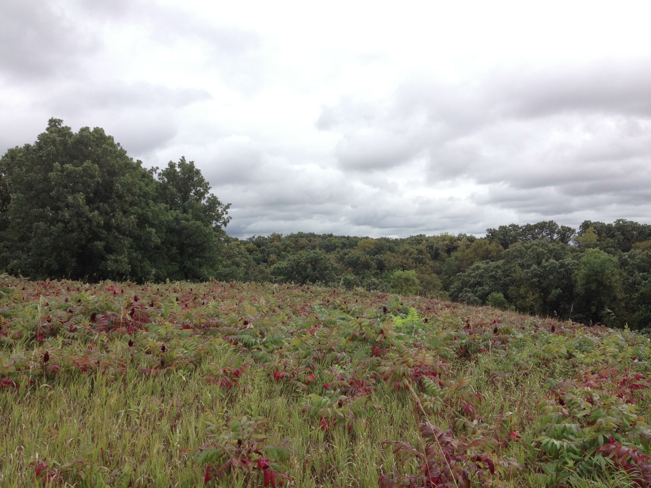
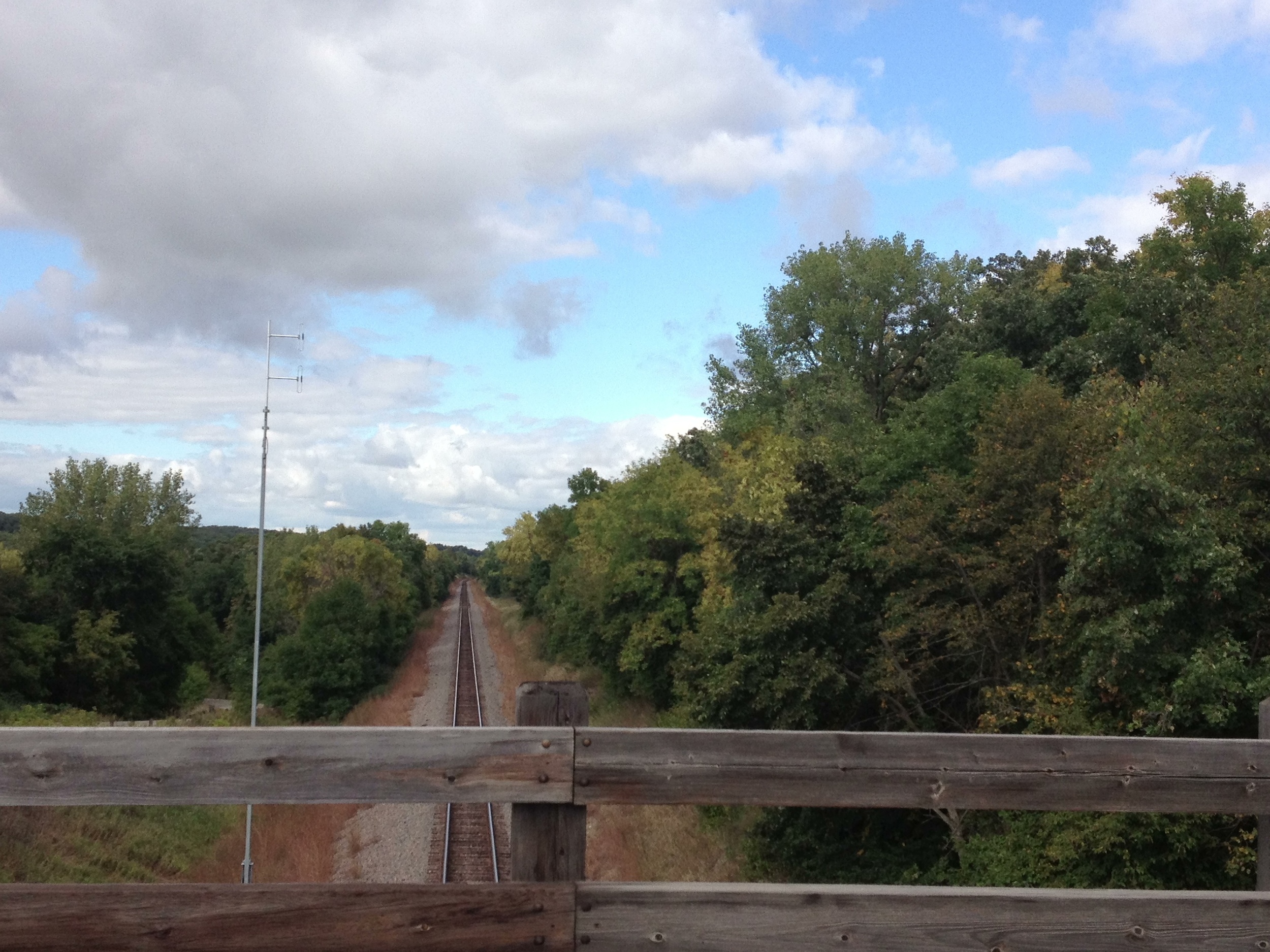
The Park: Temperance River State Park has always been one of my favorite North Shore parks. It is just fun to clamber over all the rocks, cliff jump into the pools, hike the river edge, look for bears, listen for wolves, and skip rocks into the (sometimes) placid waters of Superior. The campground is fantastic - right on the shore of the lake. The park is huge with almost 25 miles of hiking throughout the woods, but the main attractions are pretty compact and can be seen on a few two or three hour hikes. It also has access to the Superior Hiking Trail for long distance hikers. Temperance is a destination park and a great jumping off point to see other sites along the North Shore.

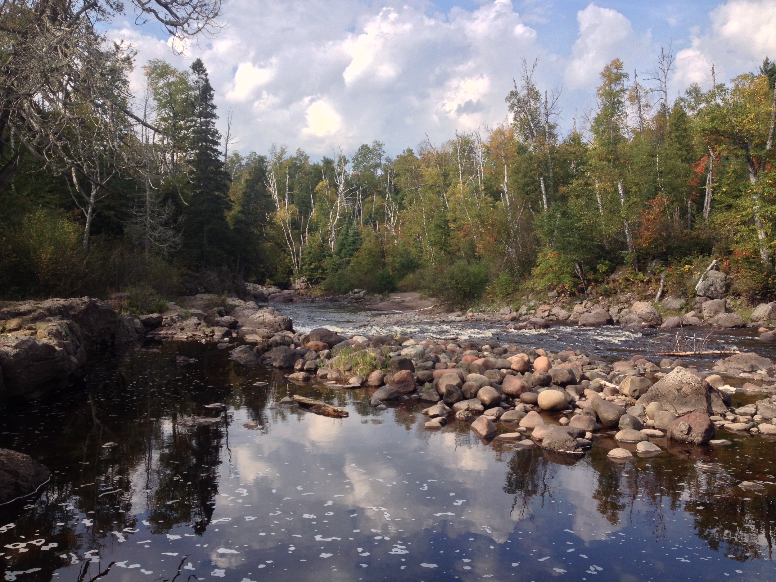
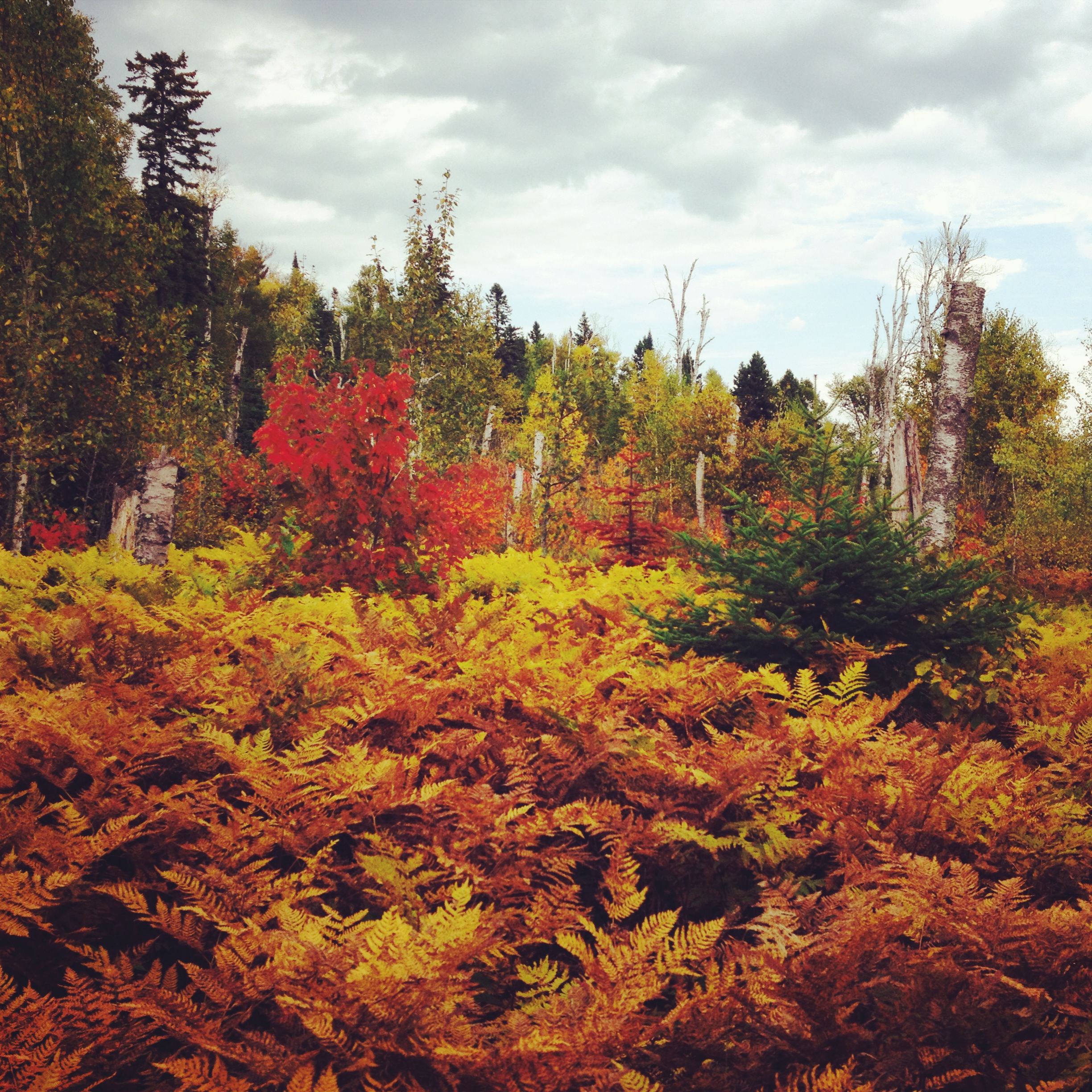
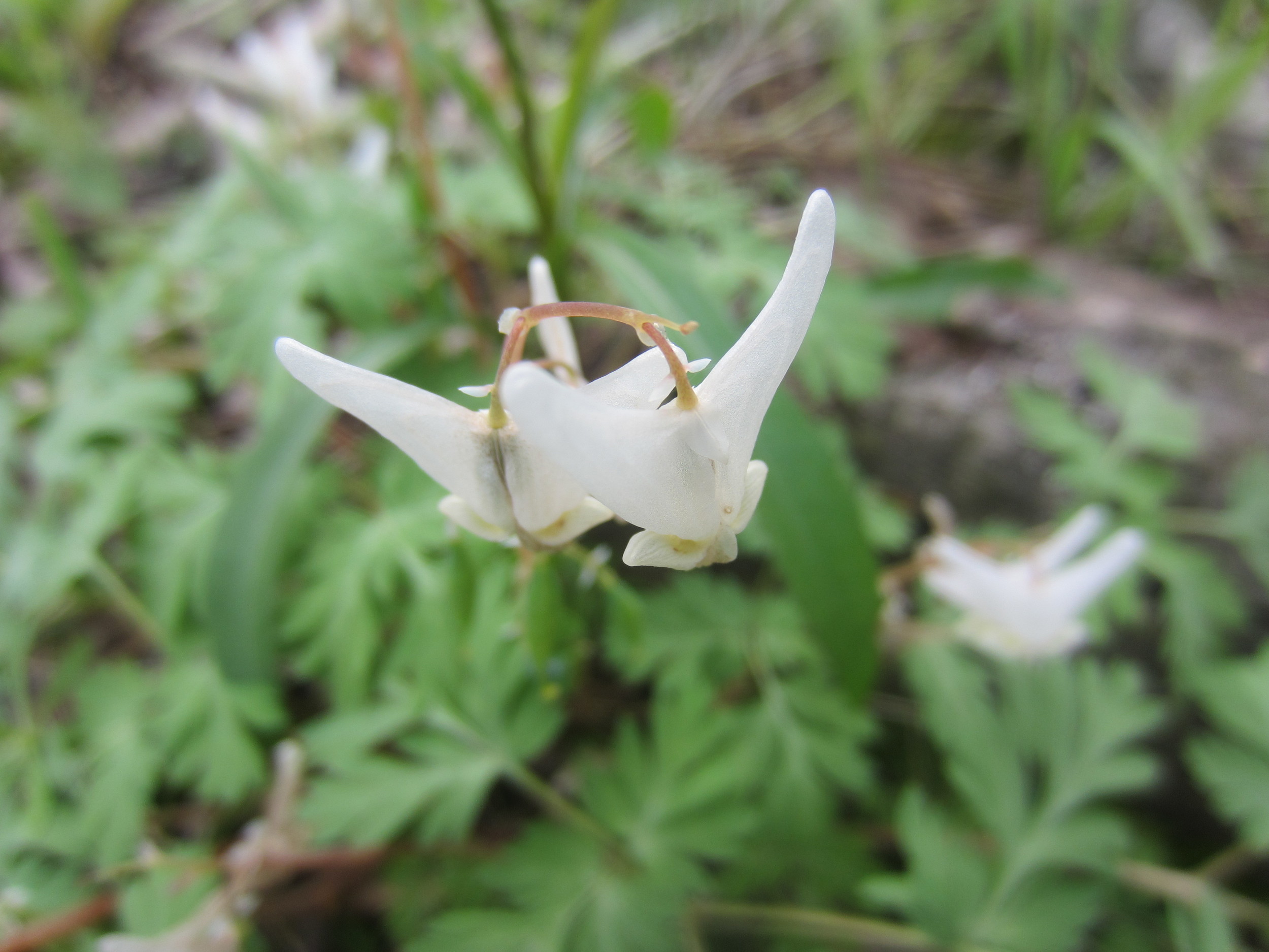
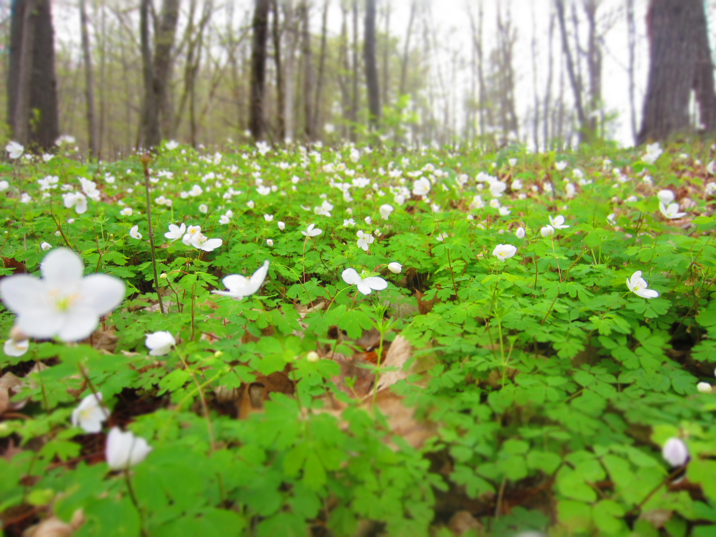
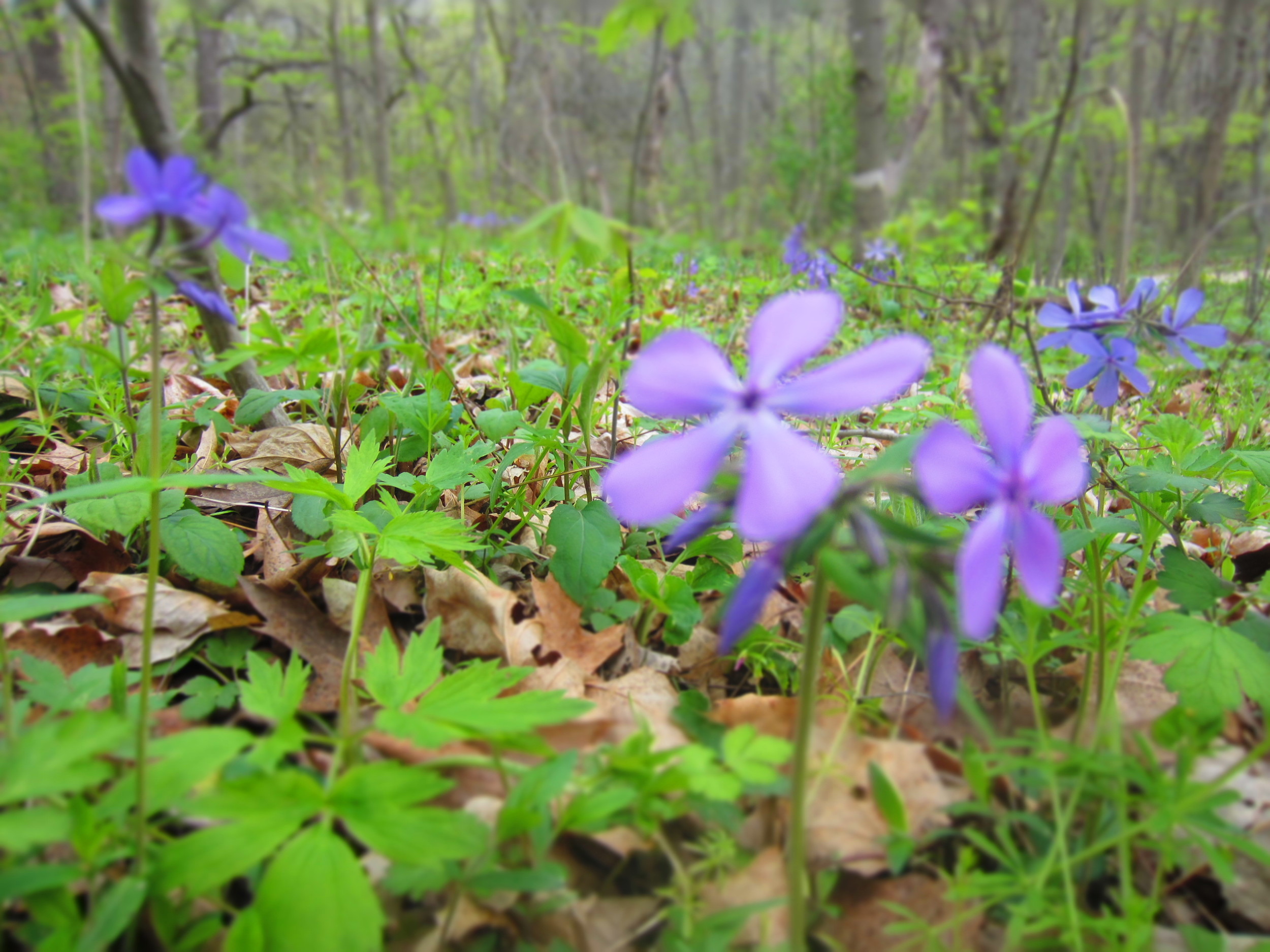
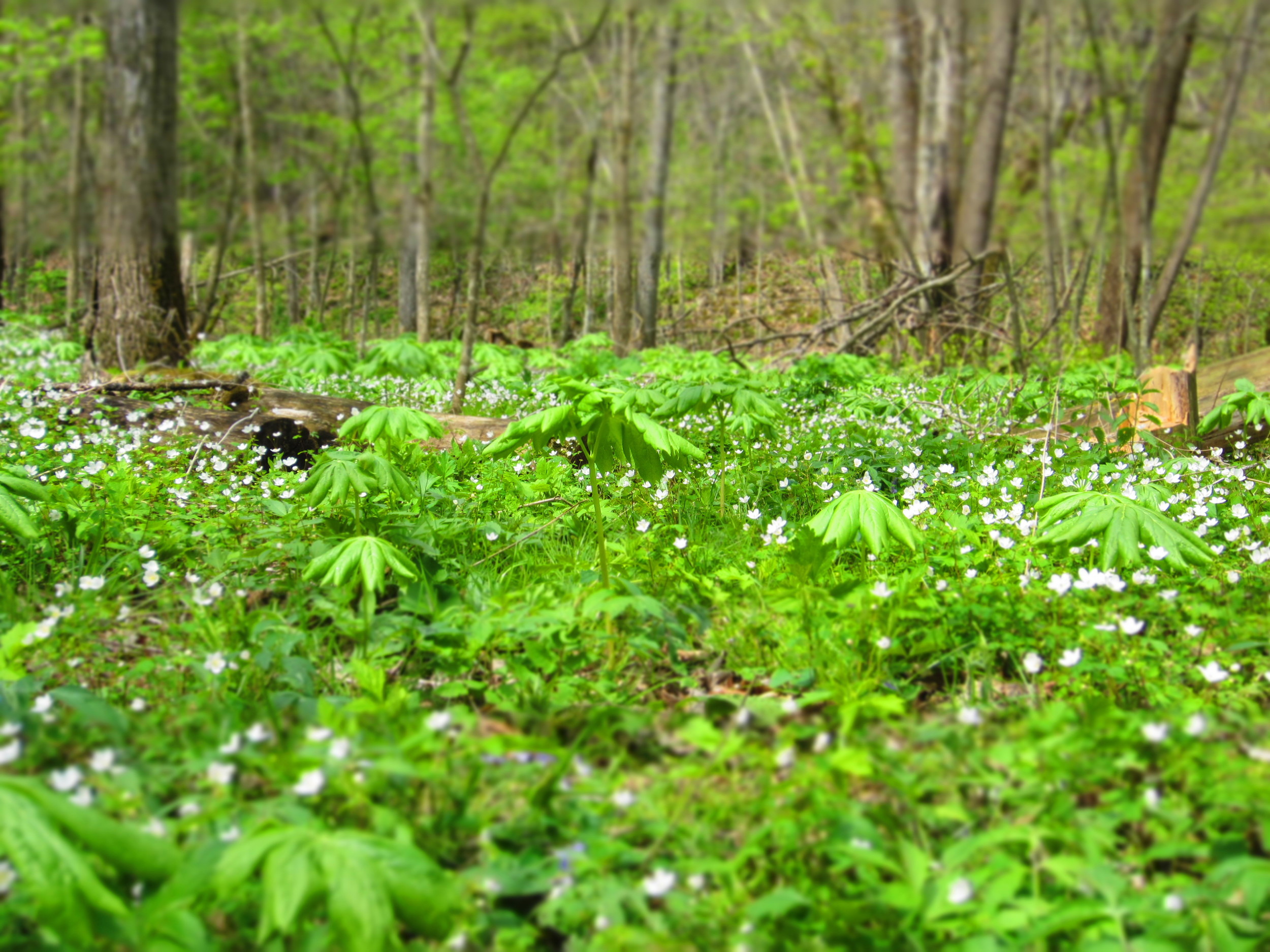
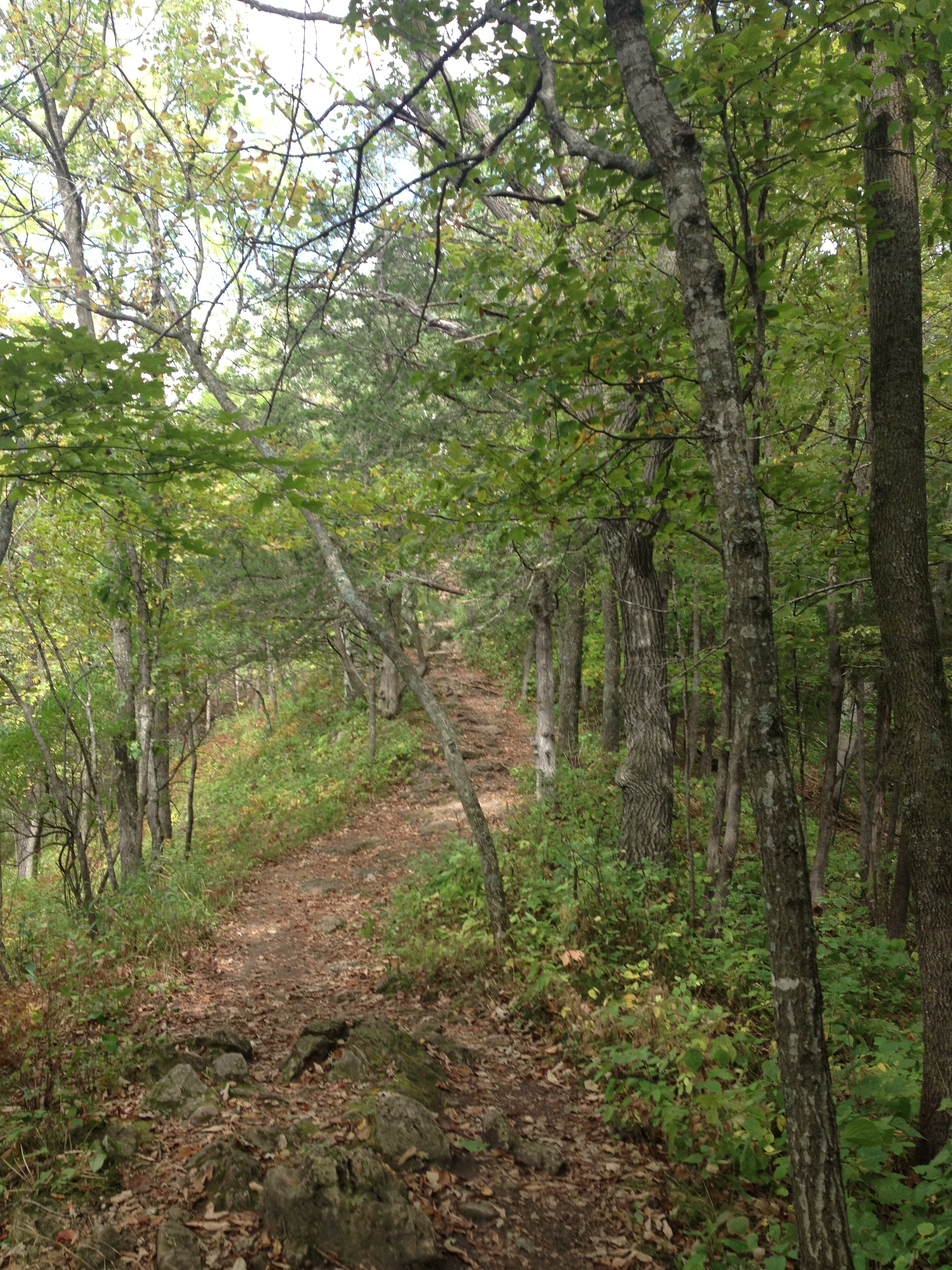
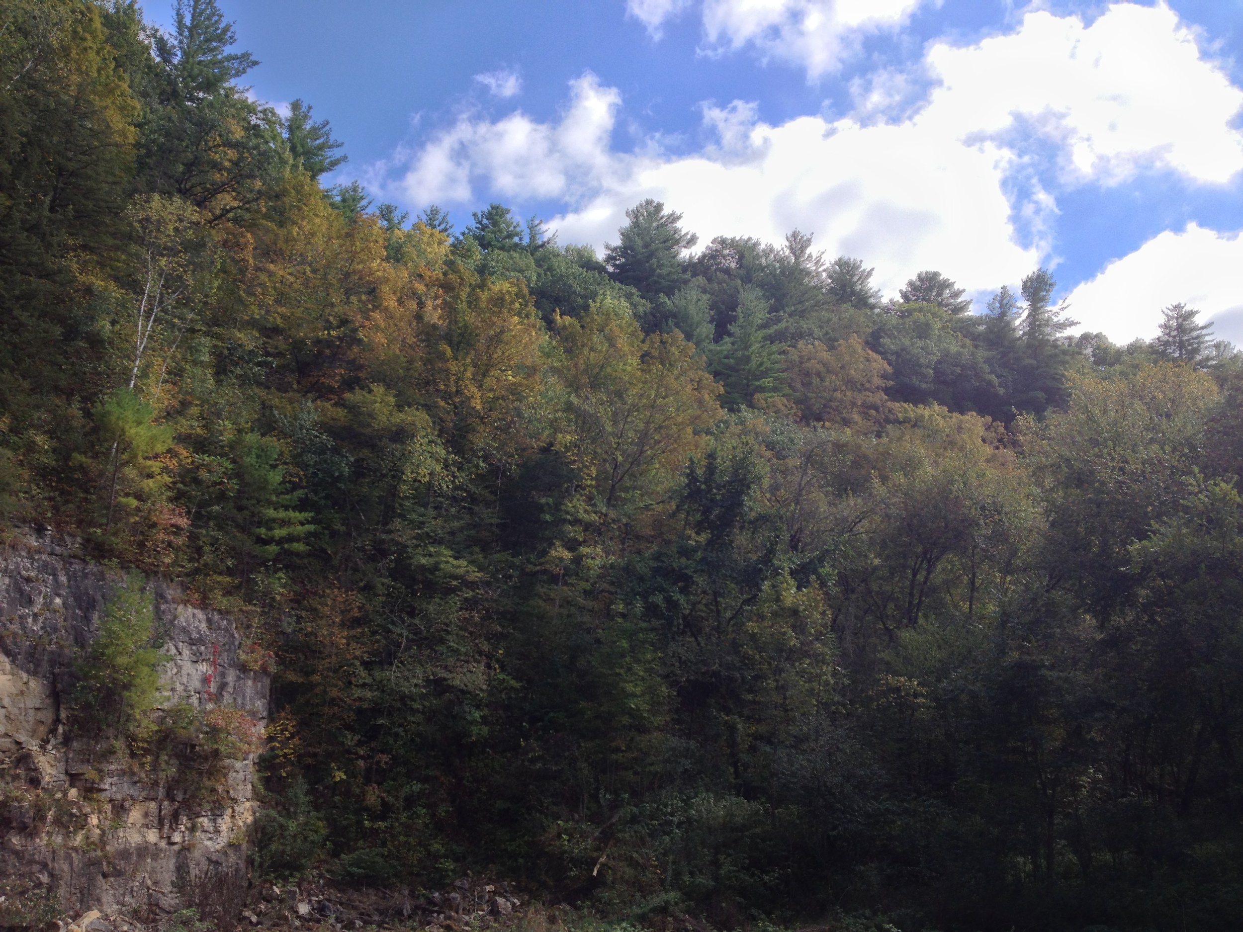
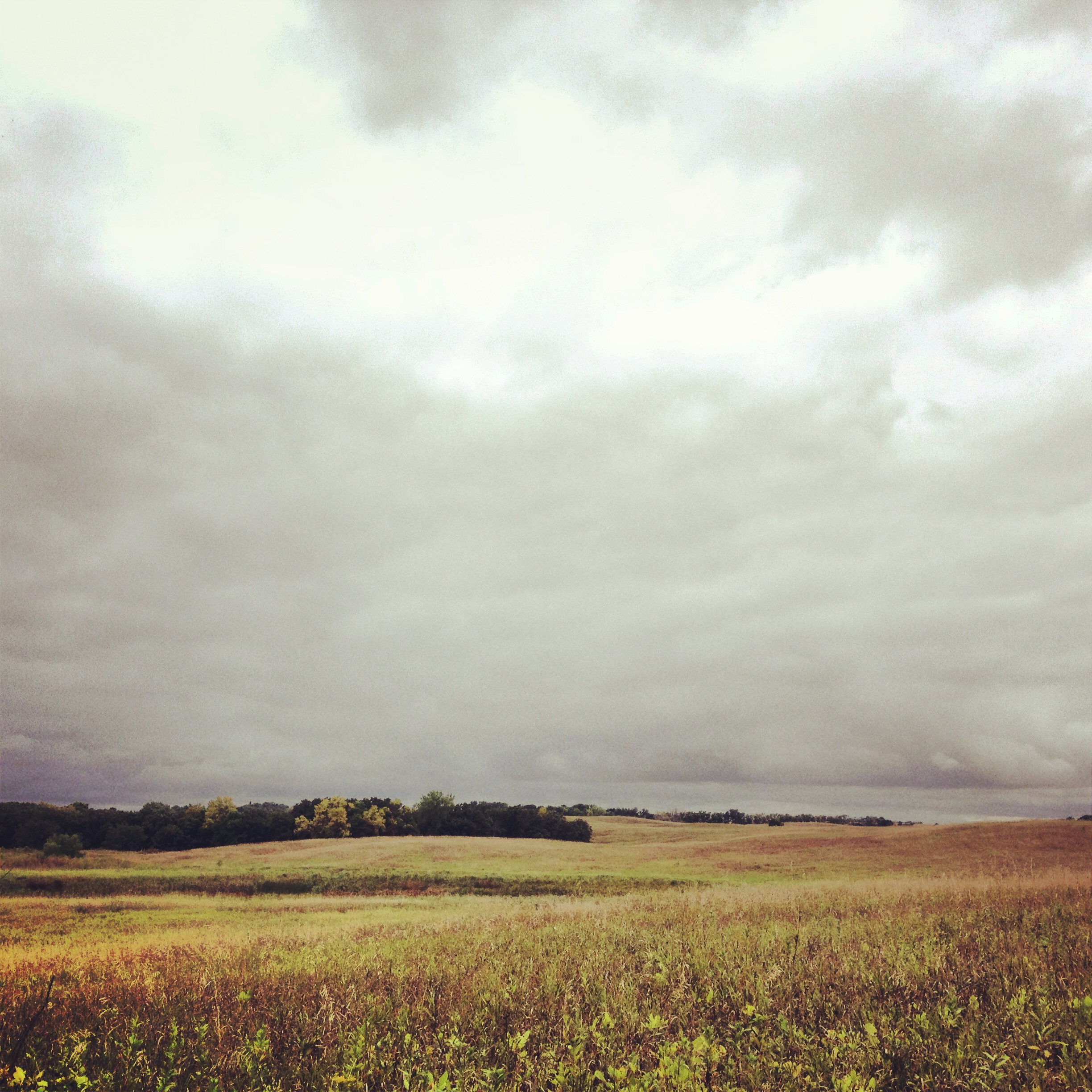
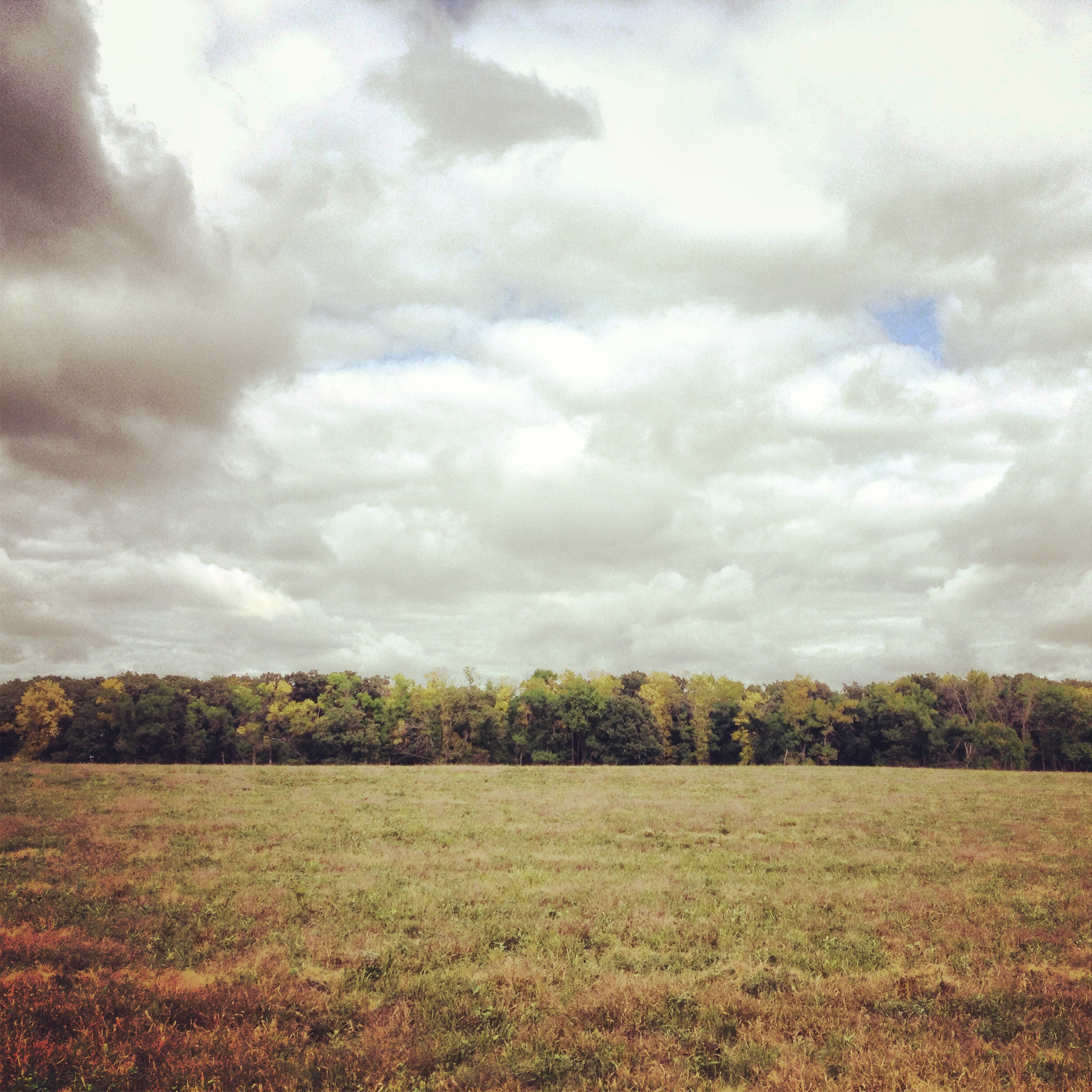
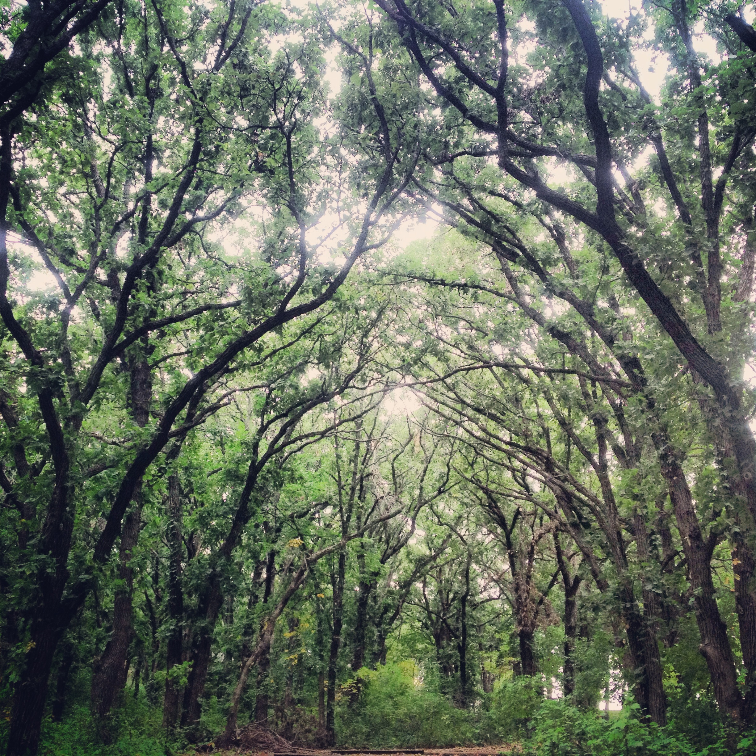
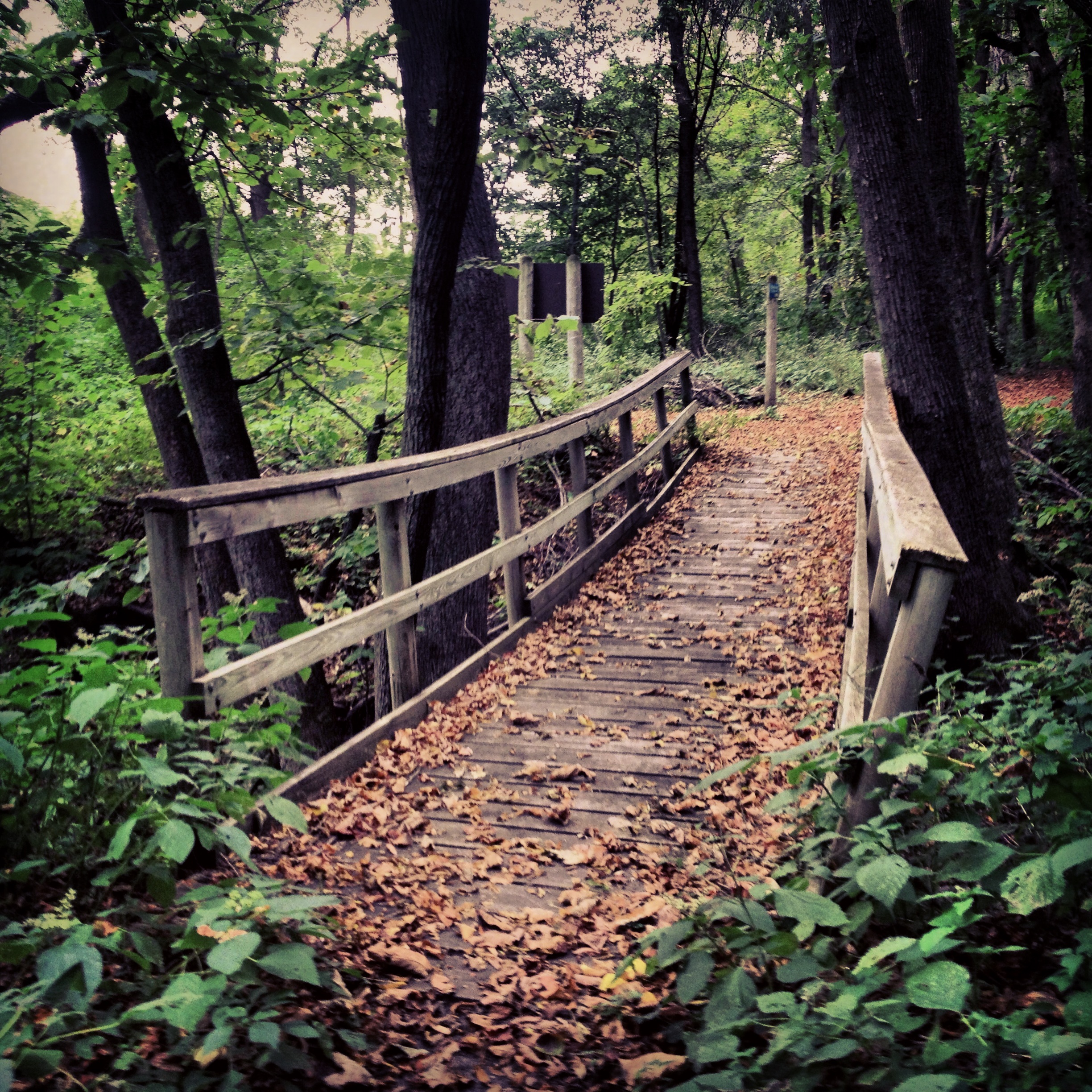
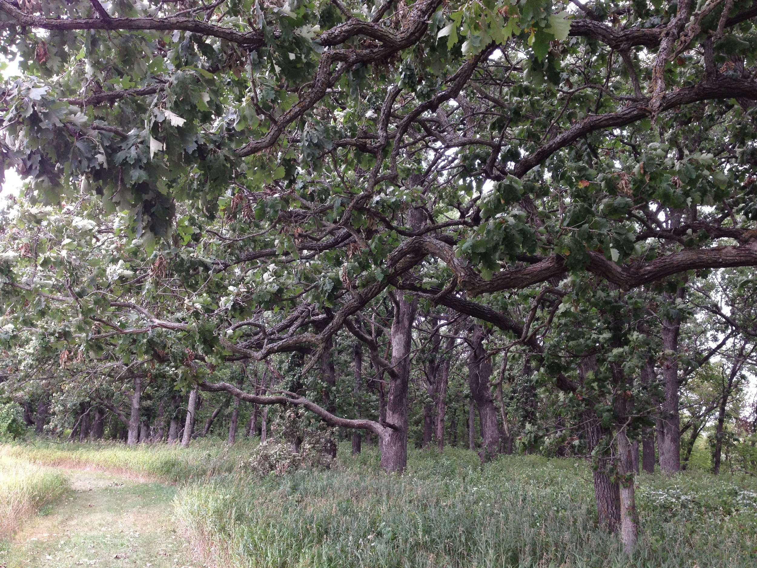
The trail winds through mixed birch-pine forests. Fall is an excellent time to visit Temperance River State Park 

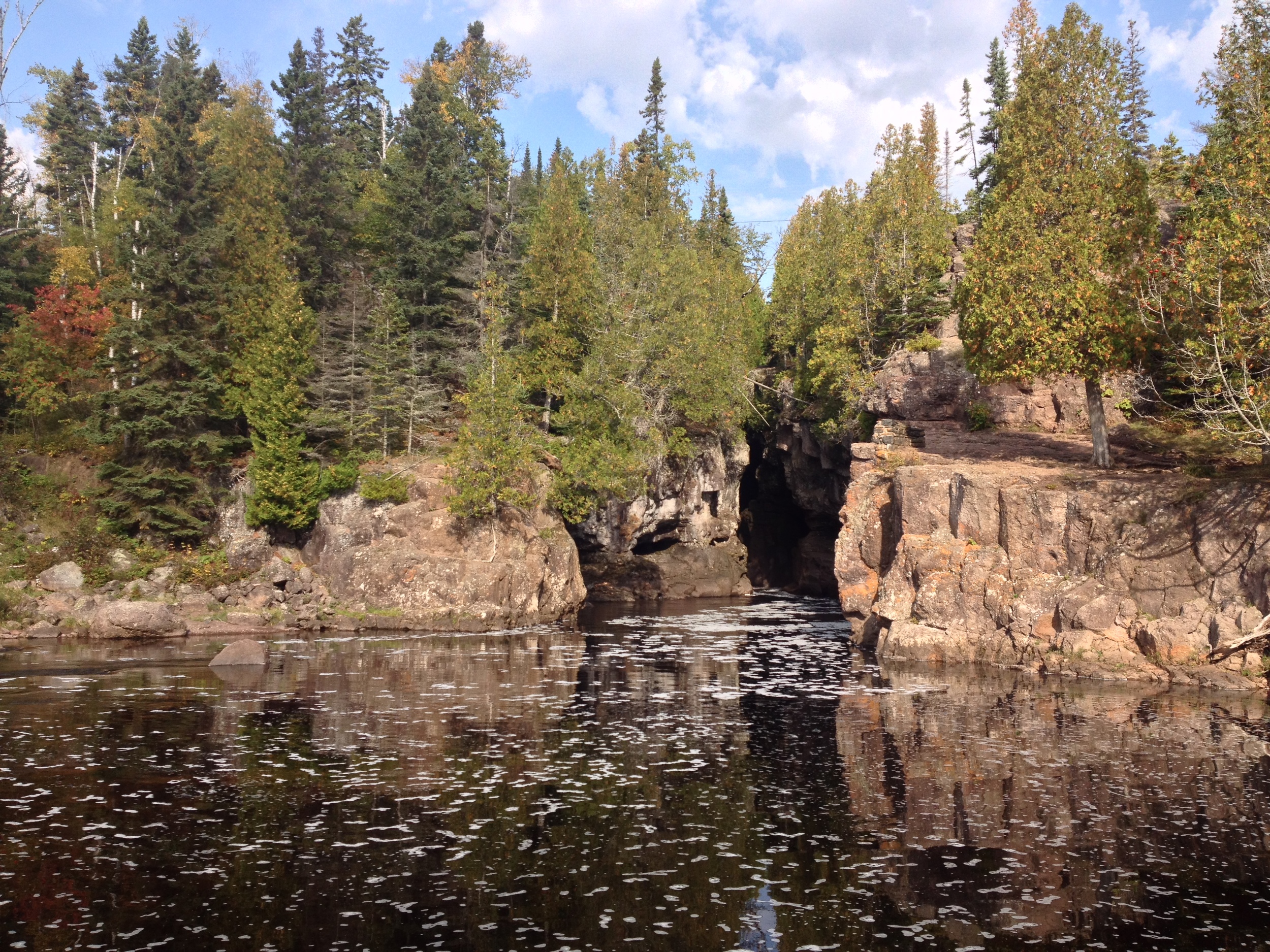
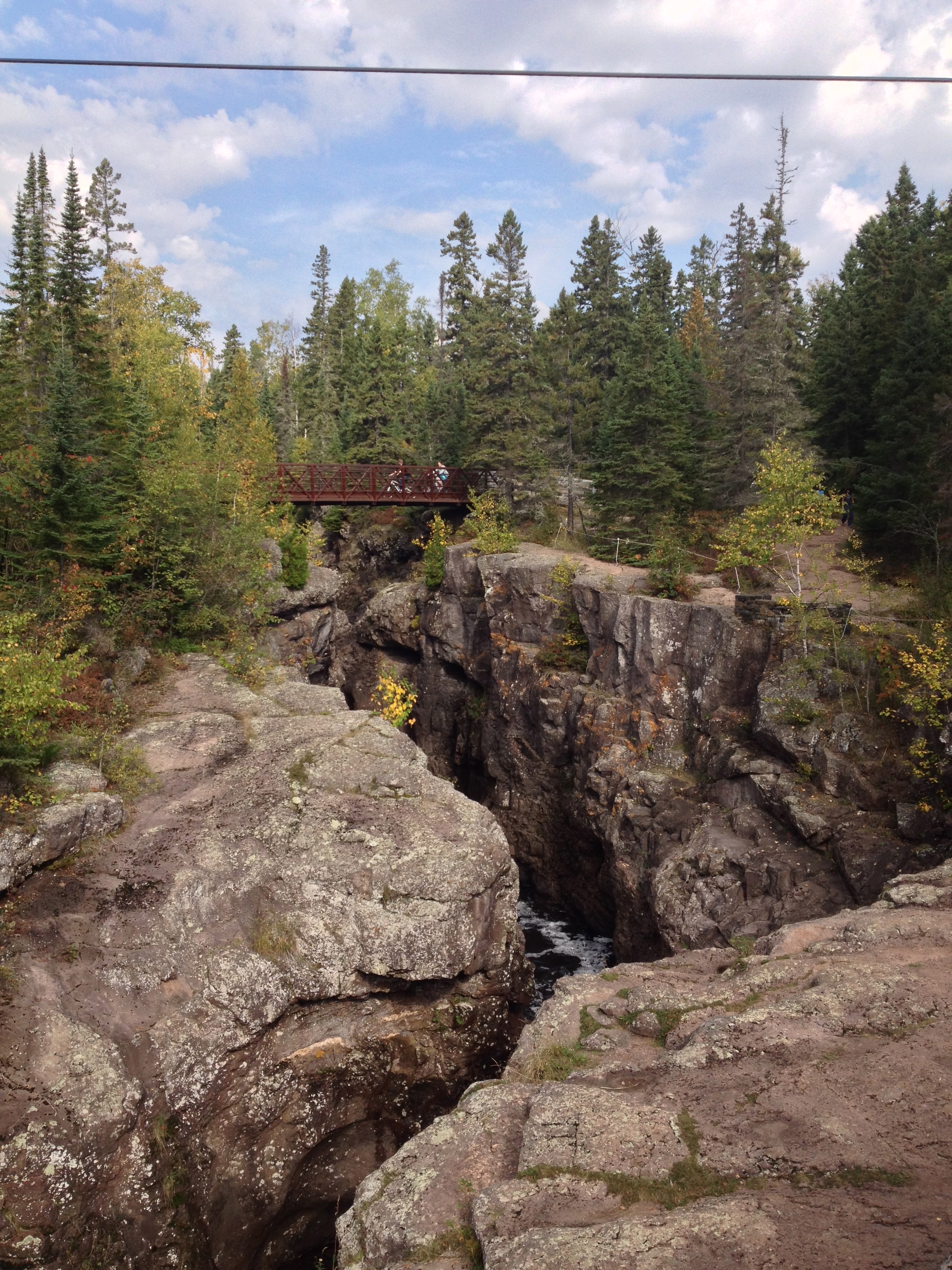
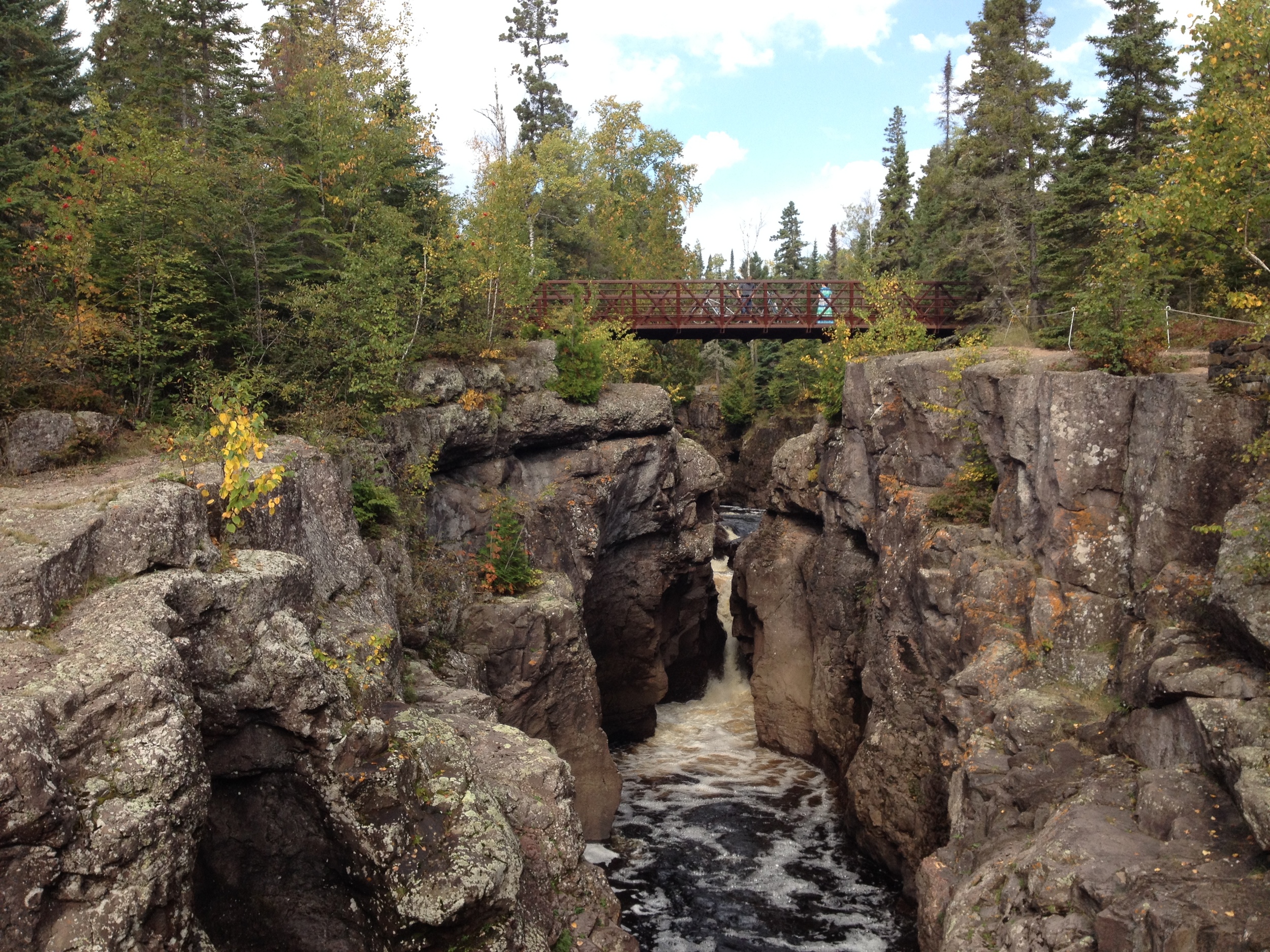
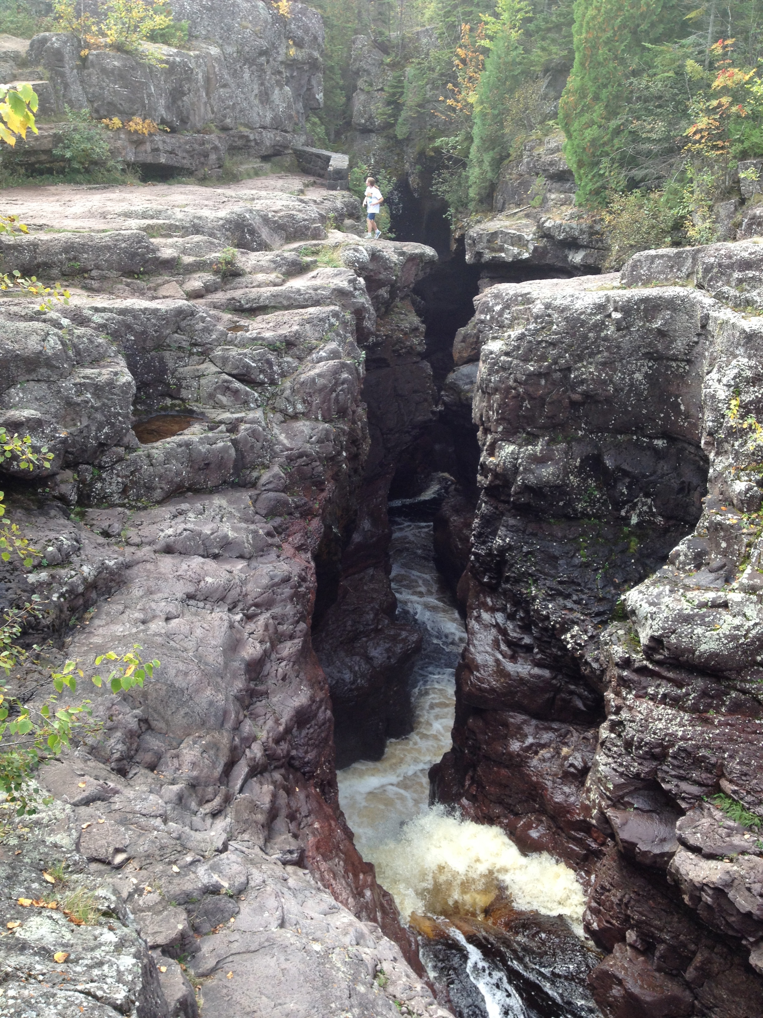
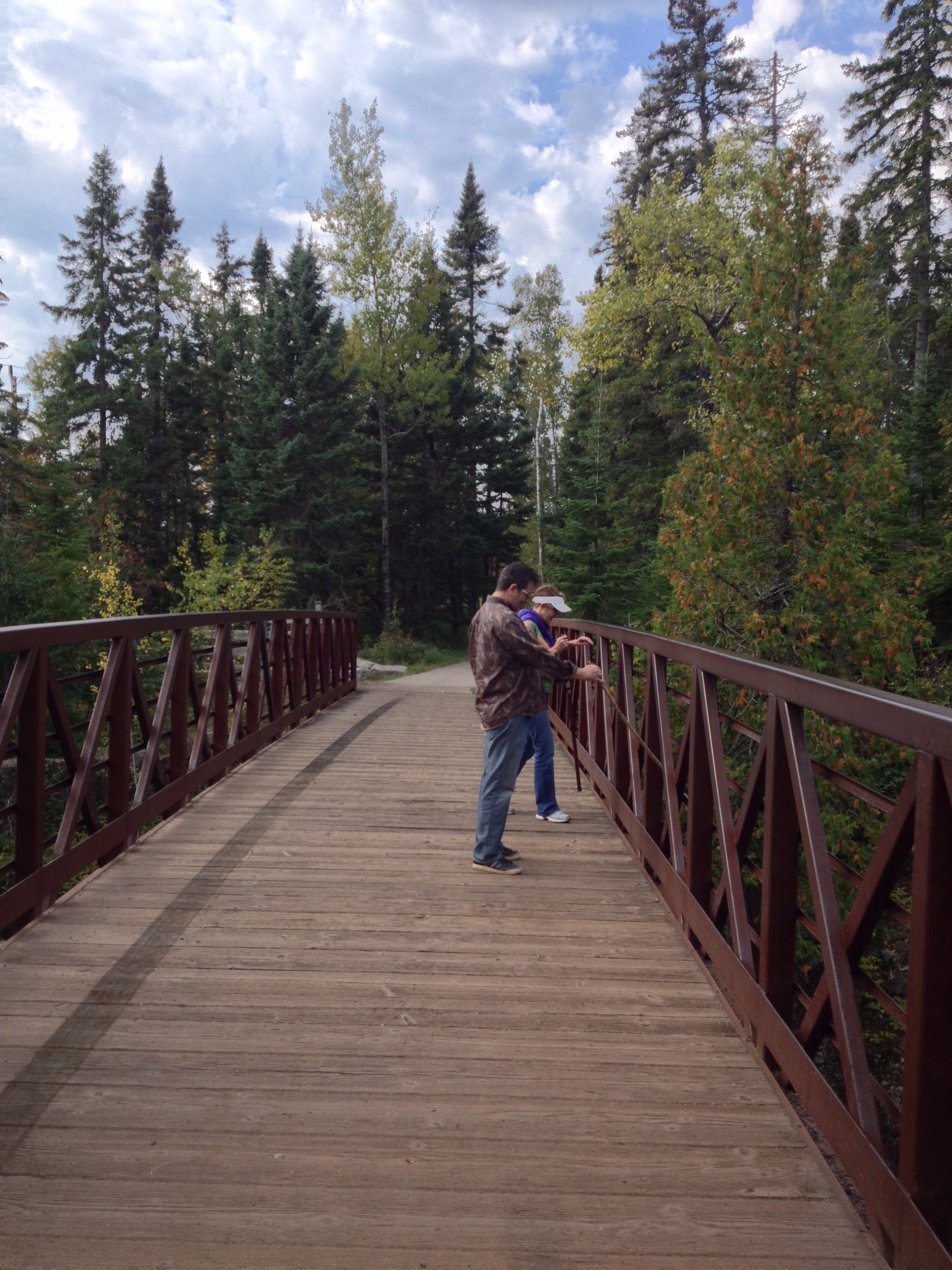
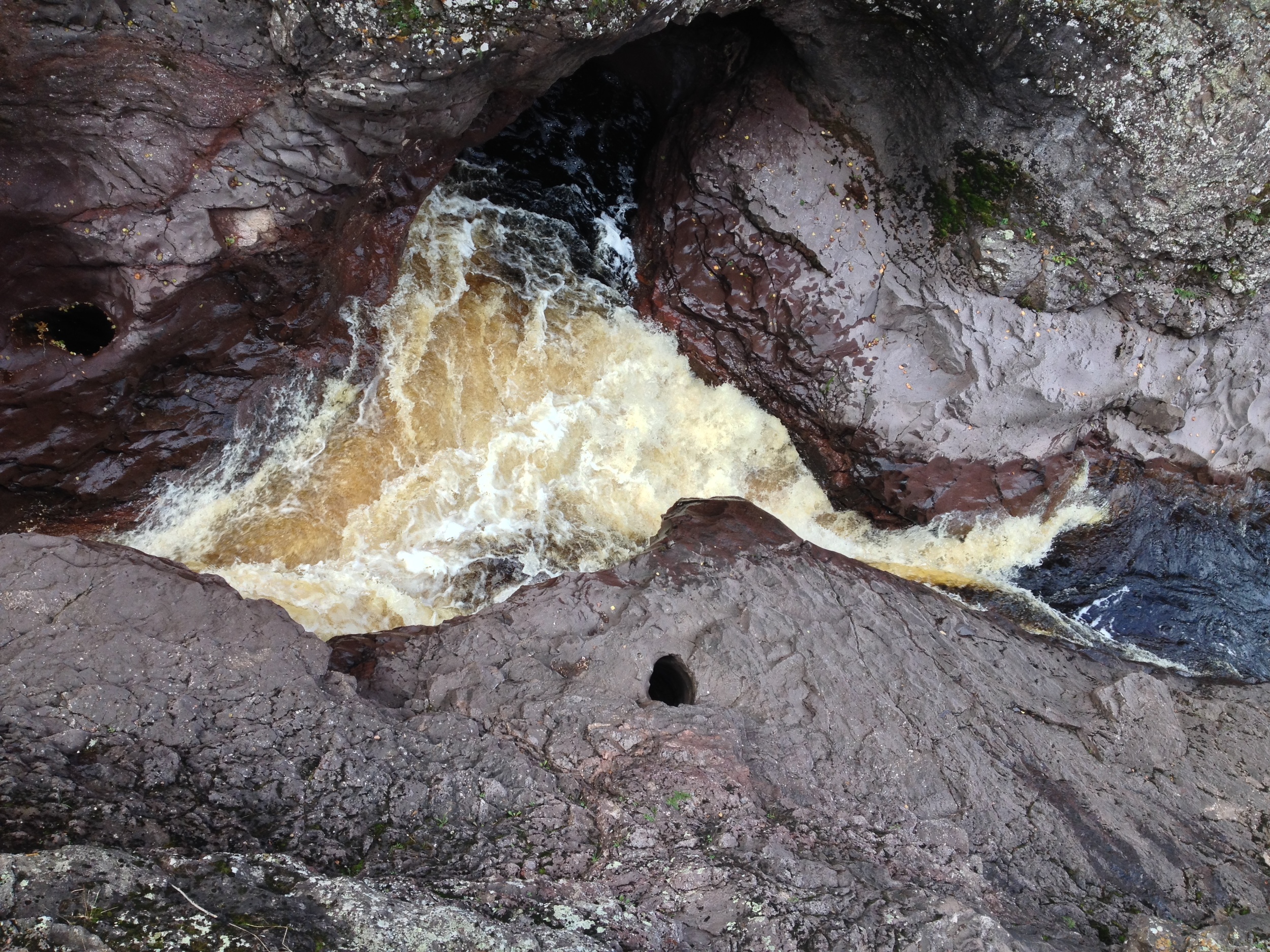
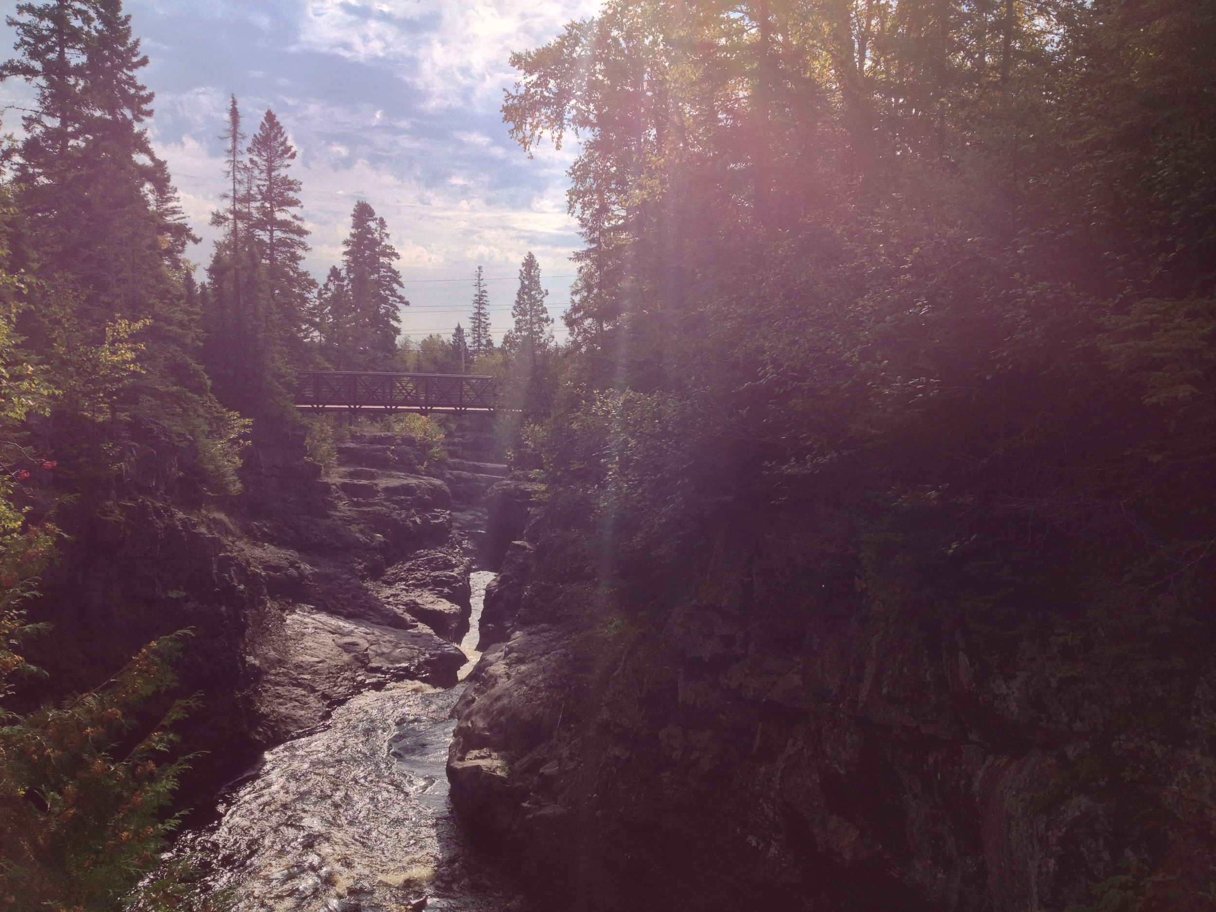
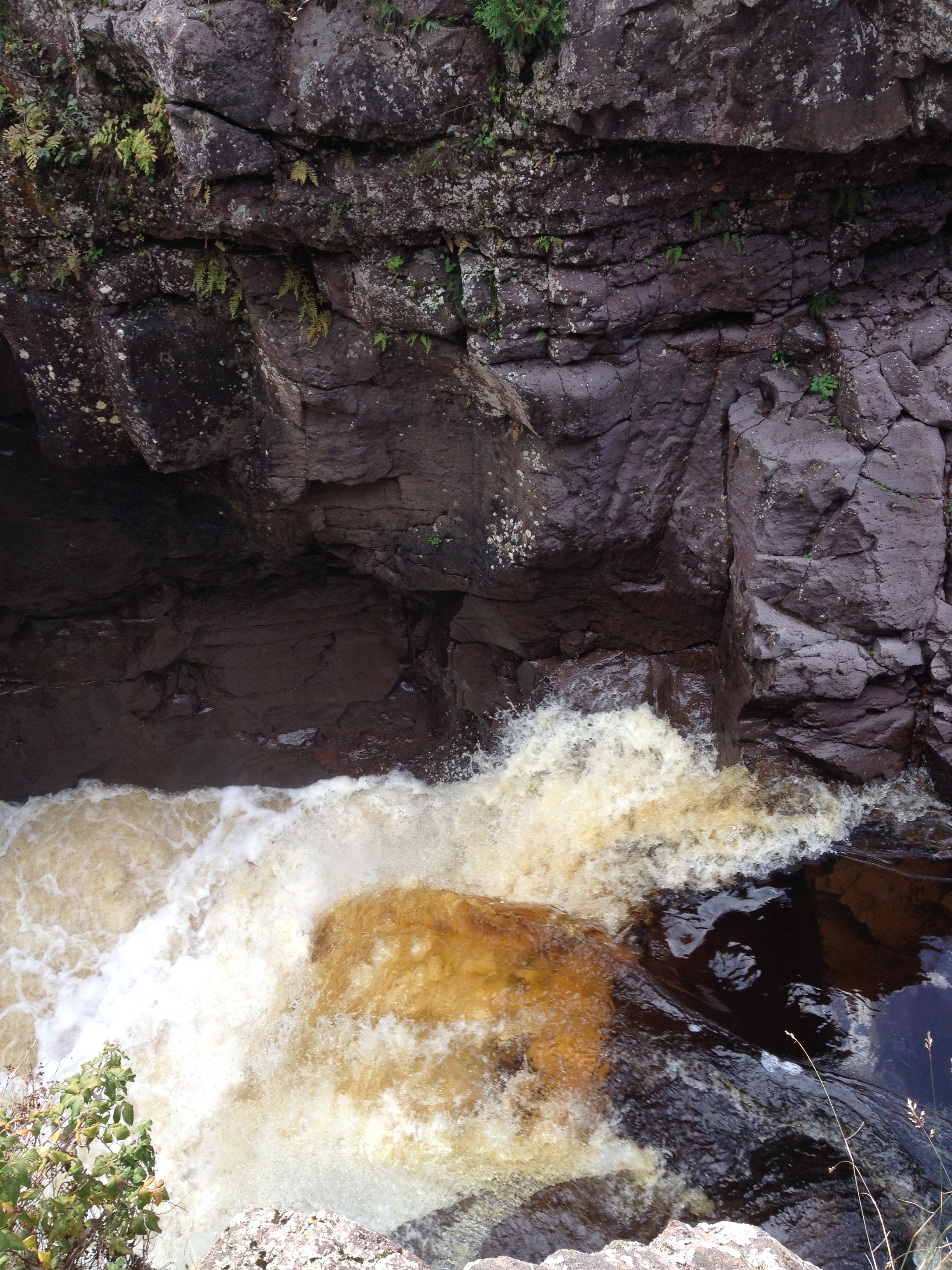
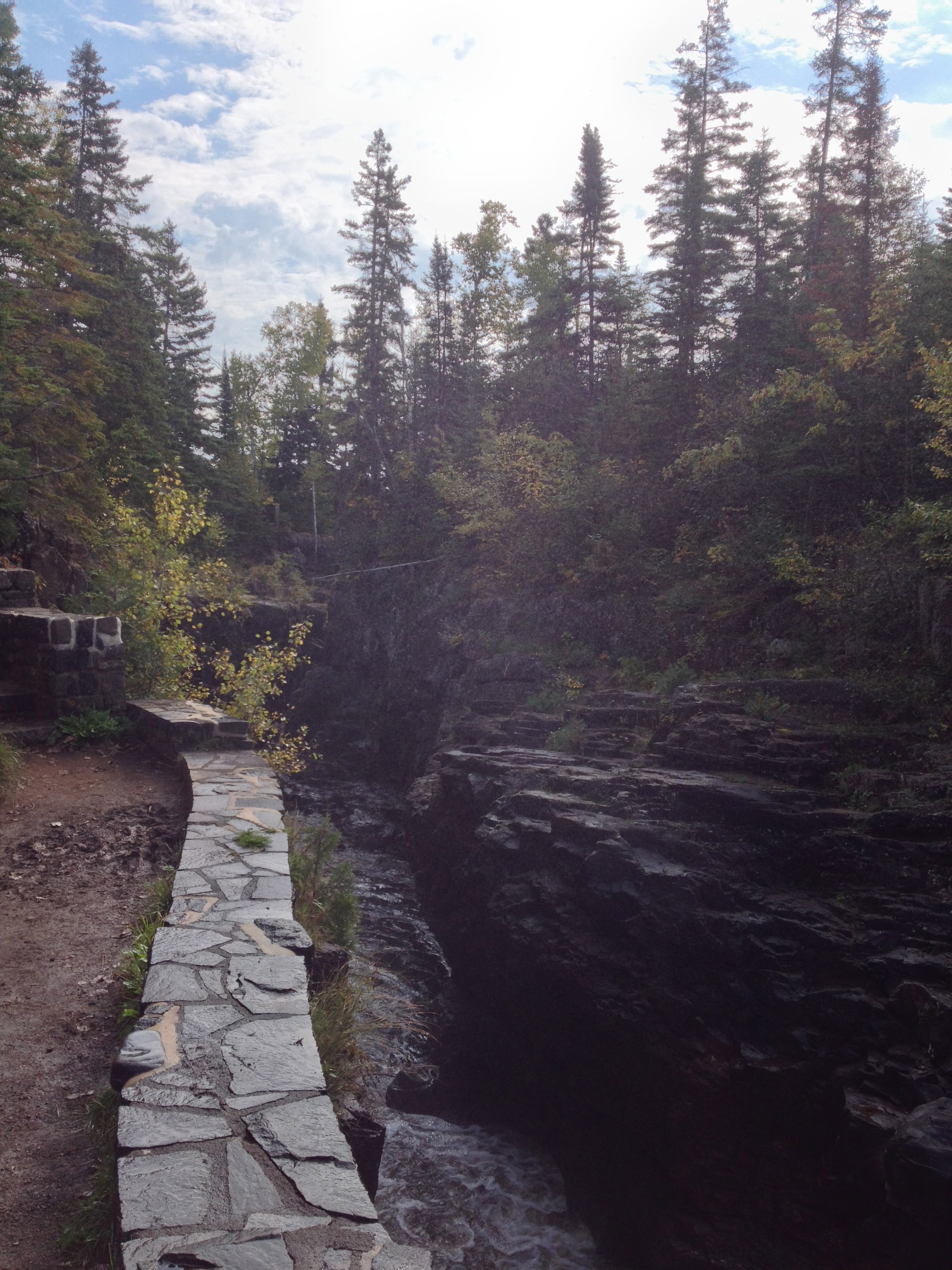
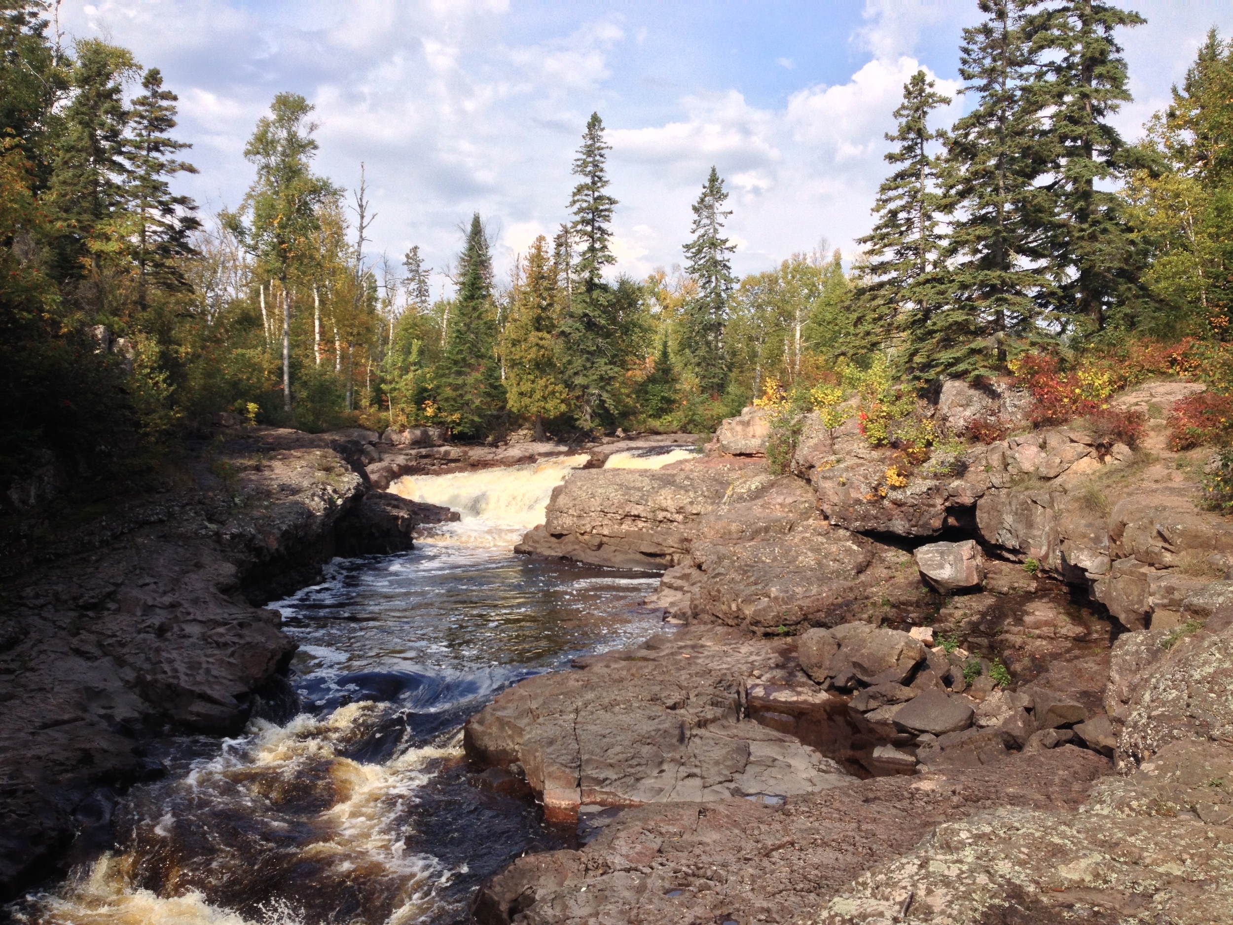
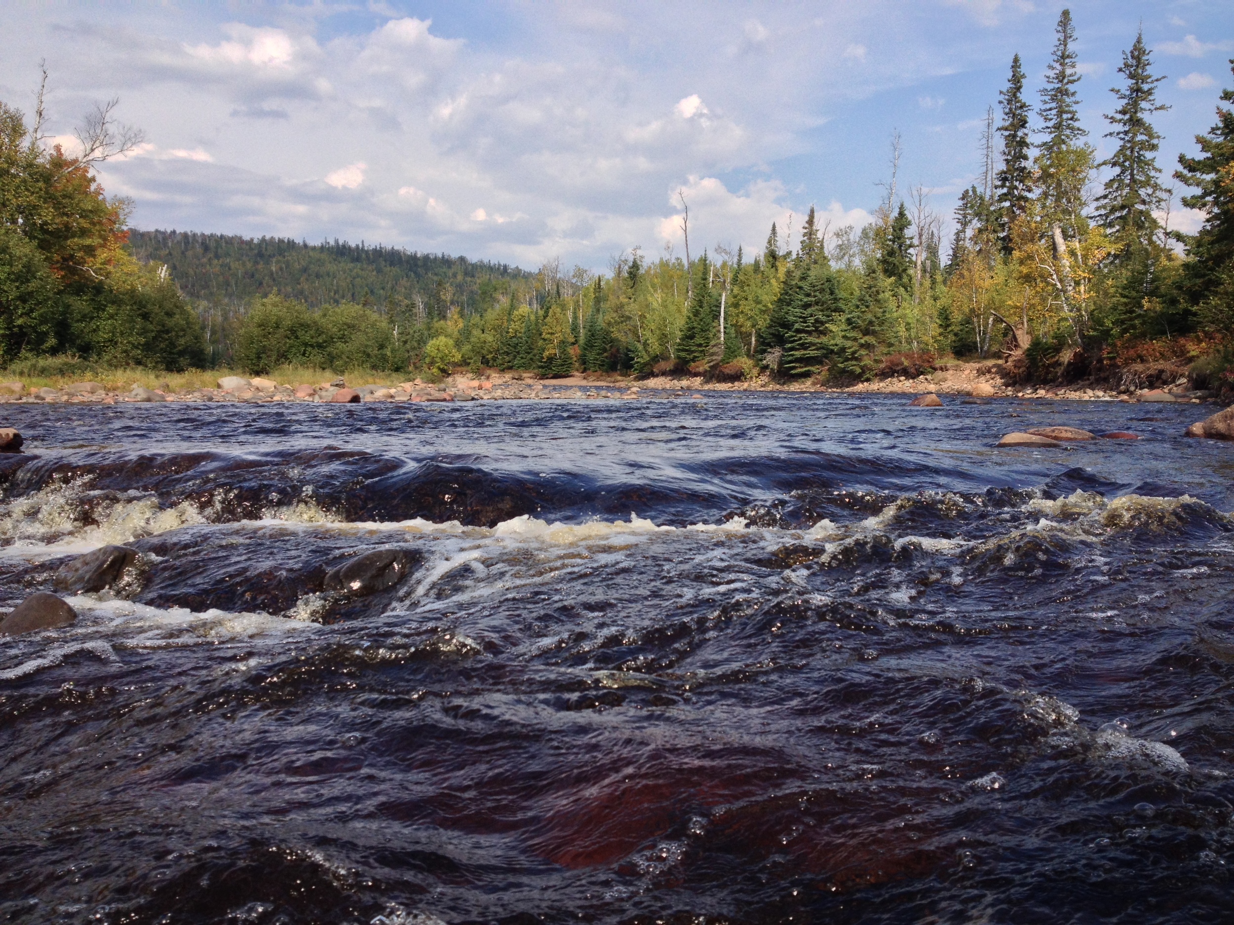
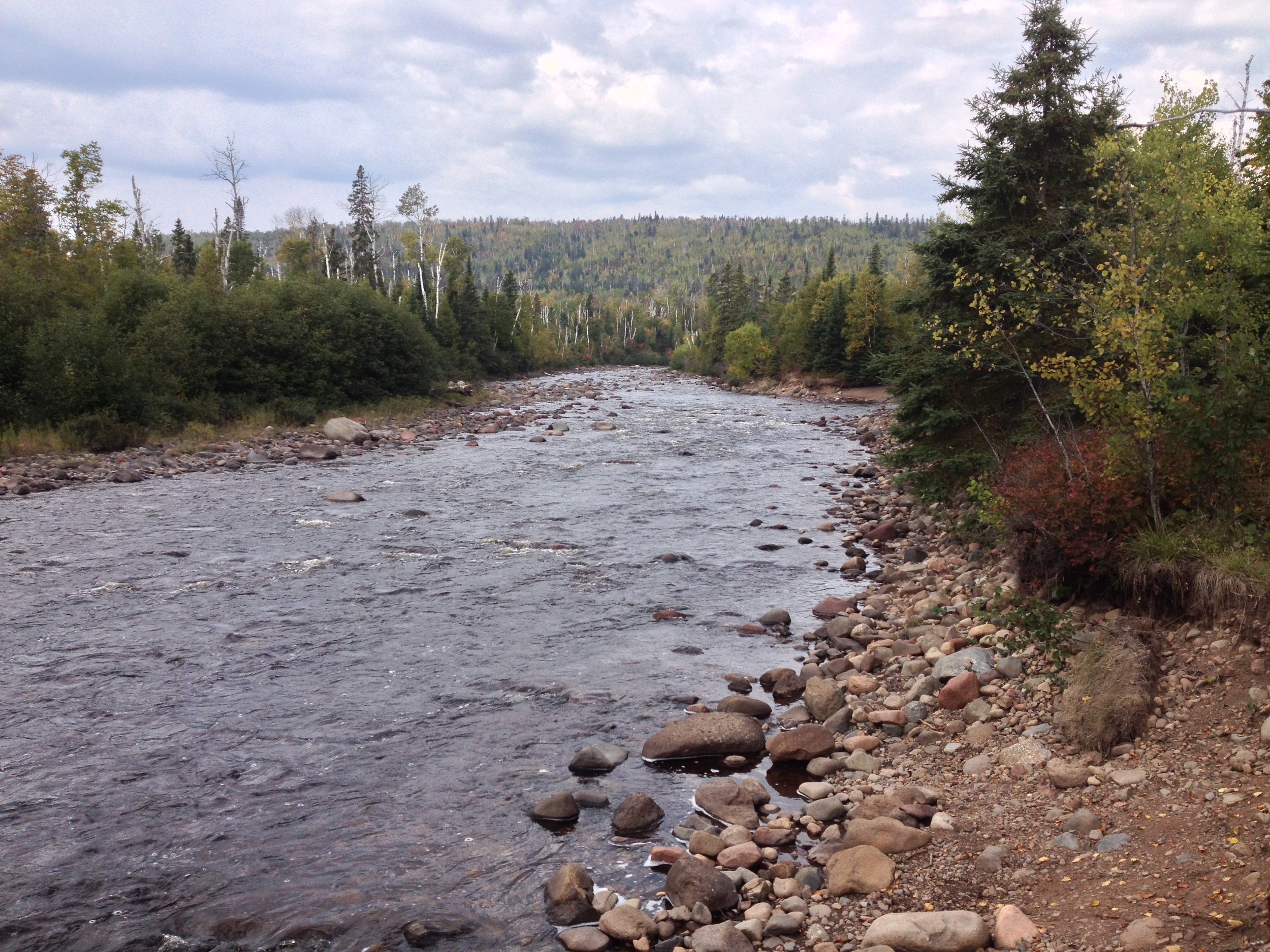
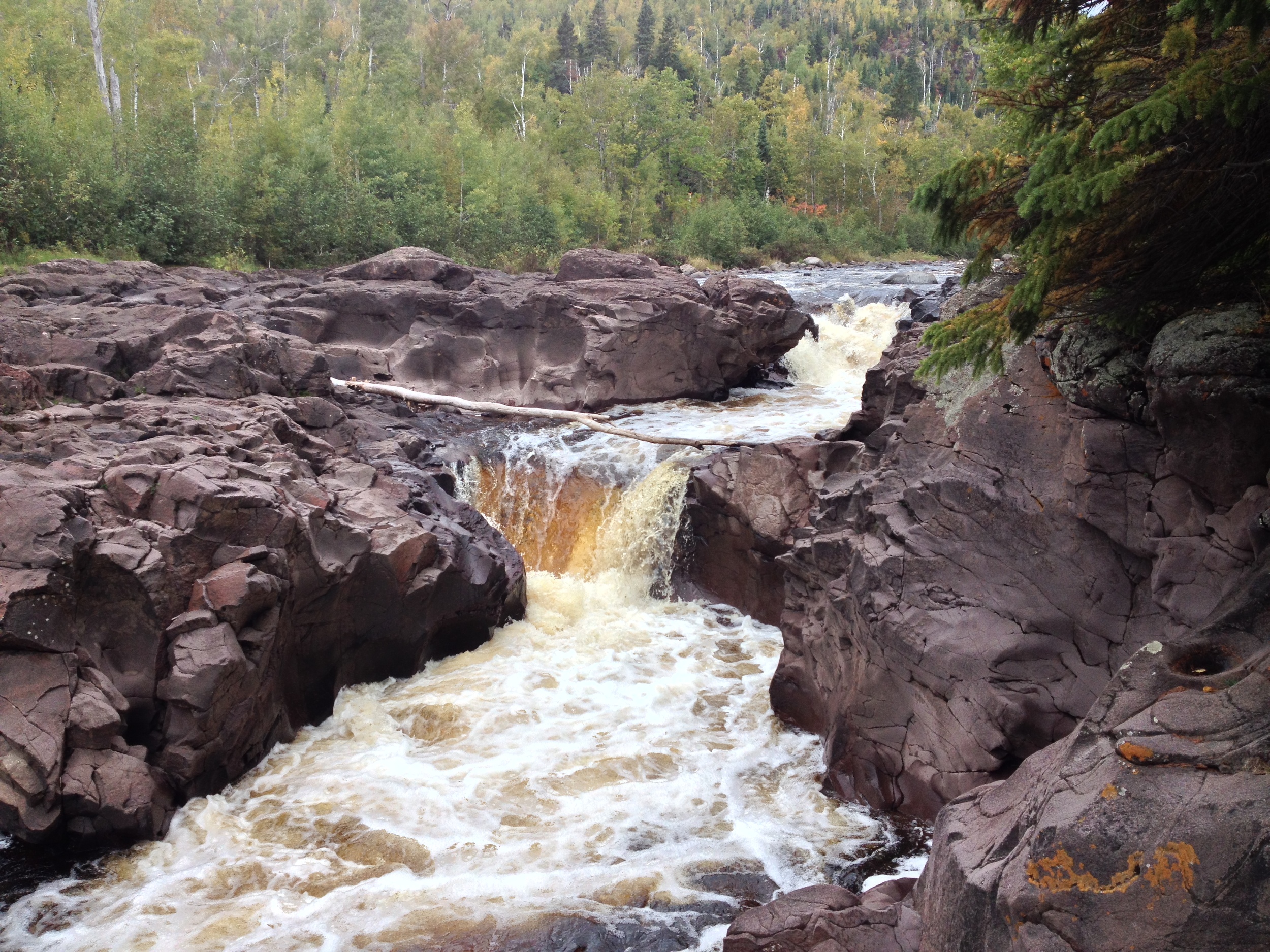
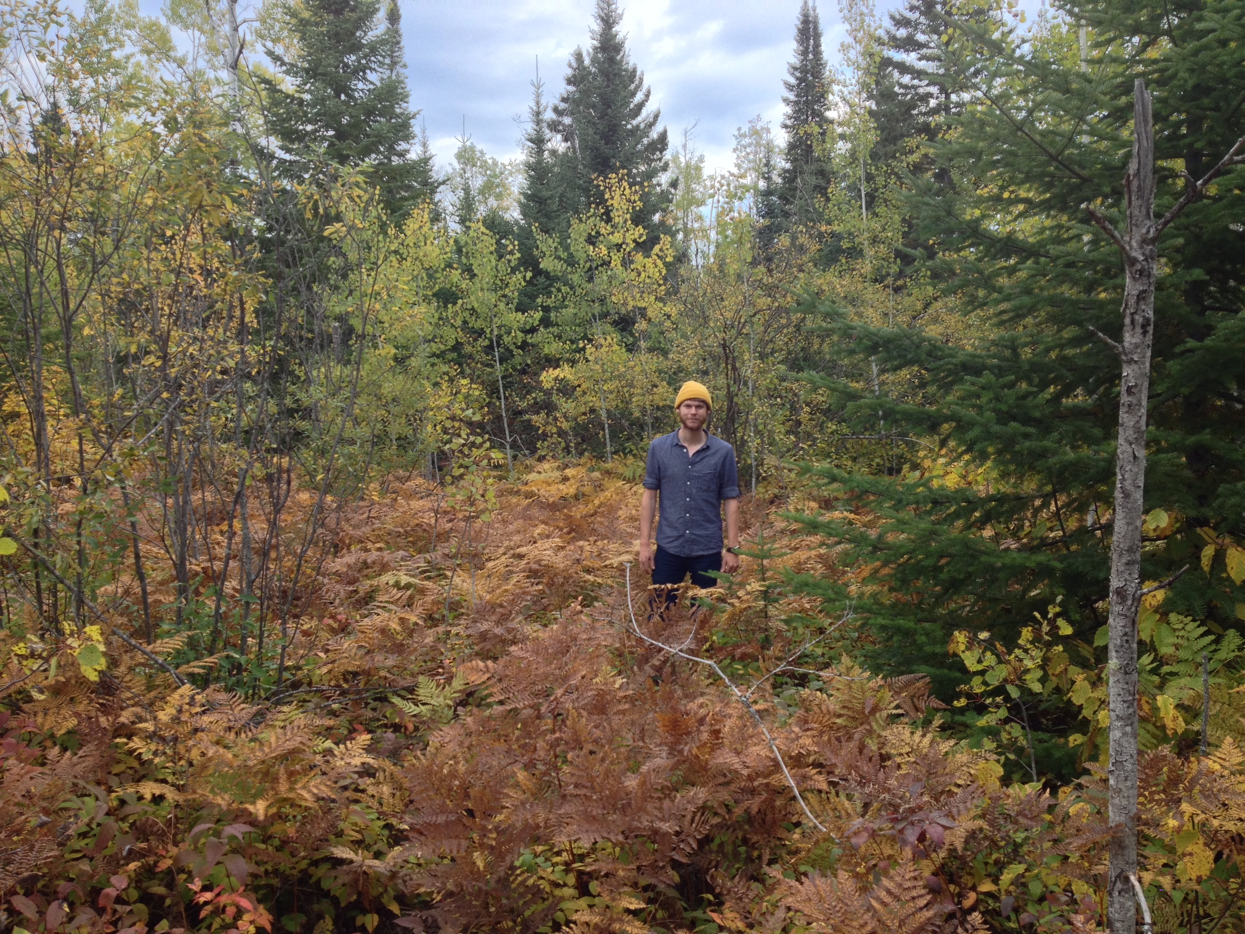
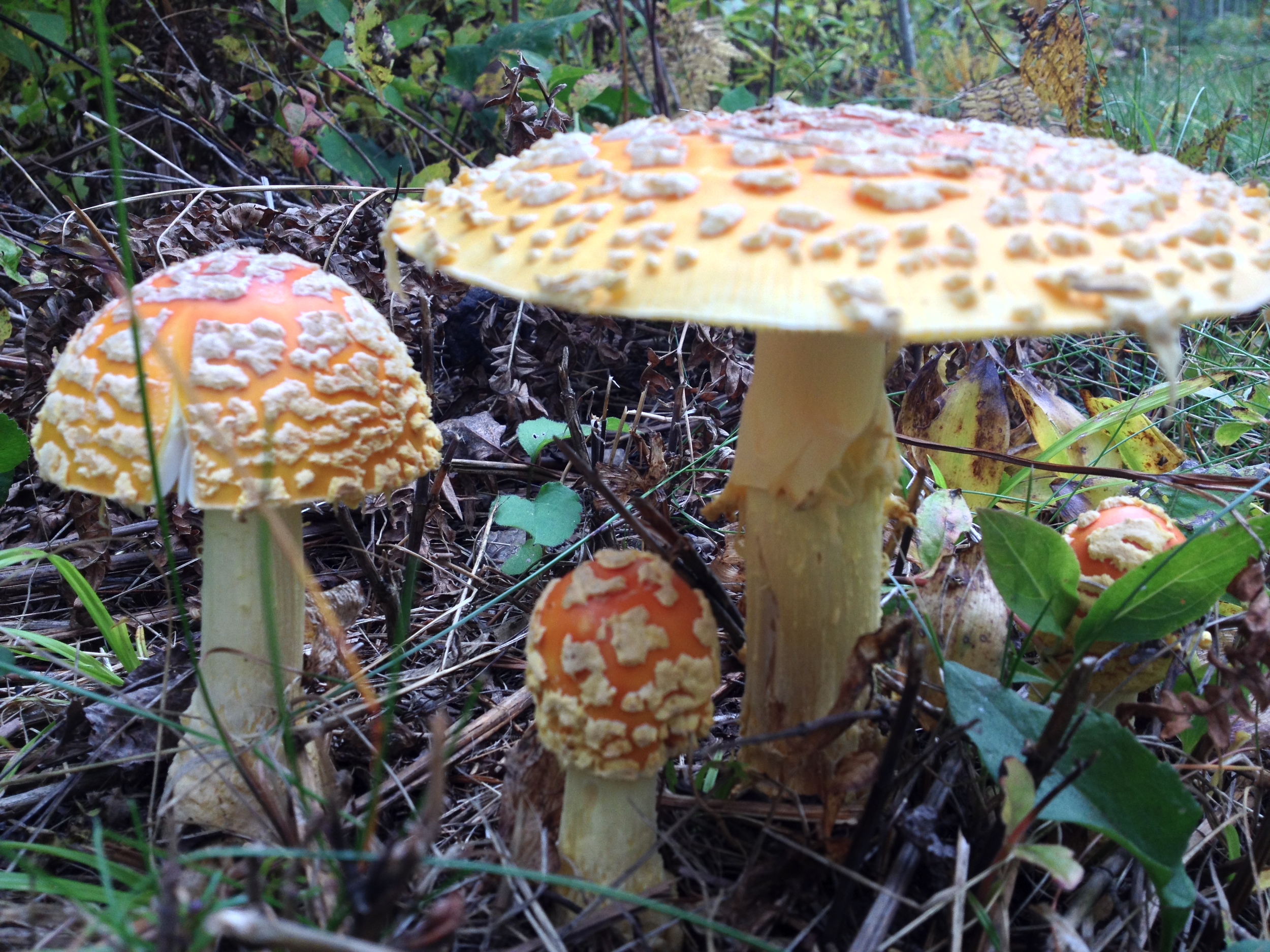
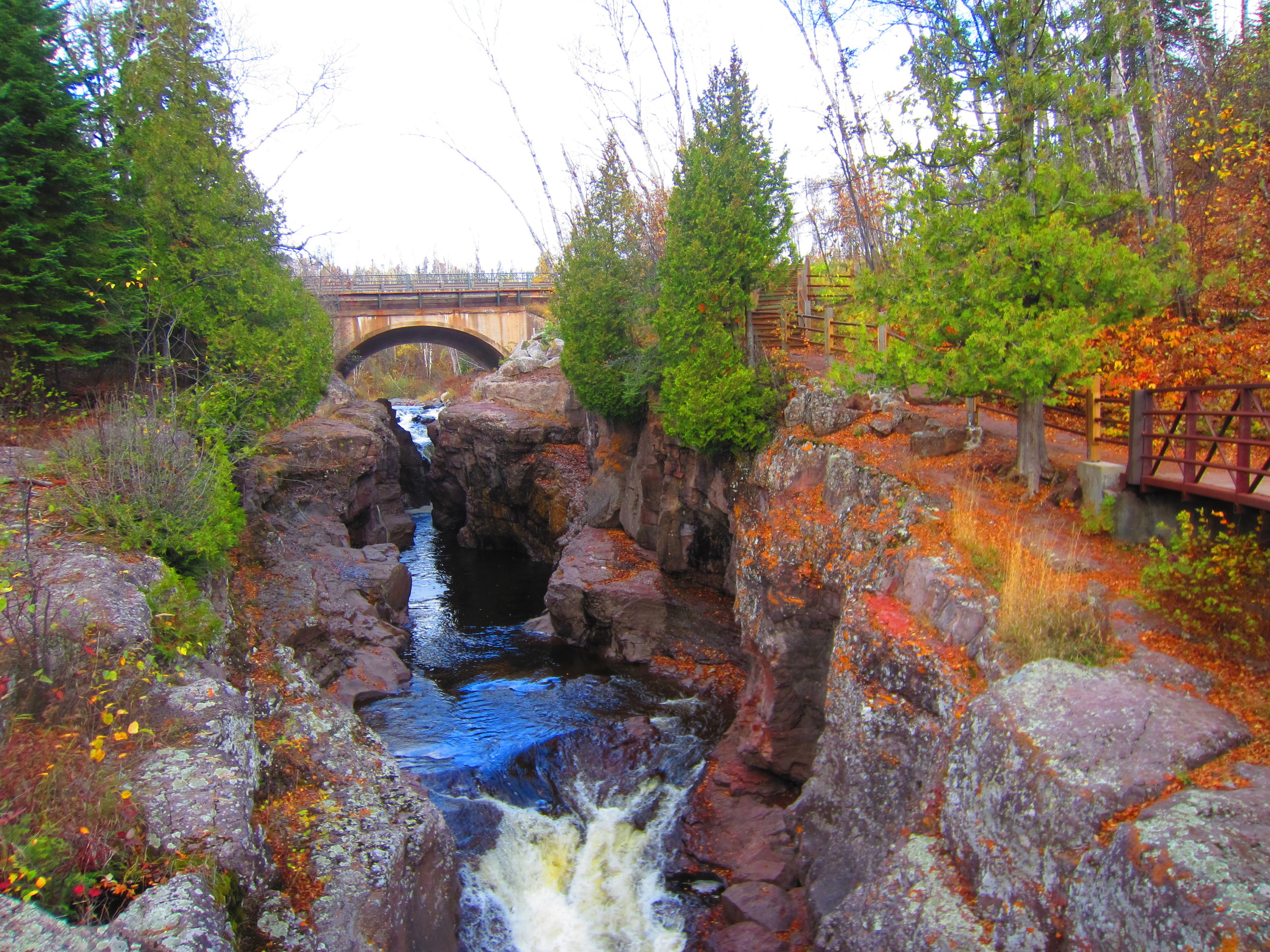
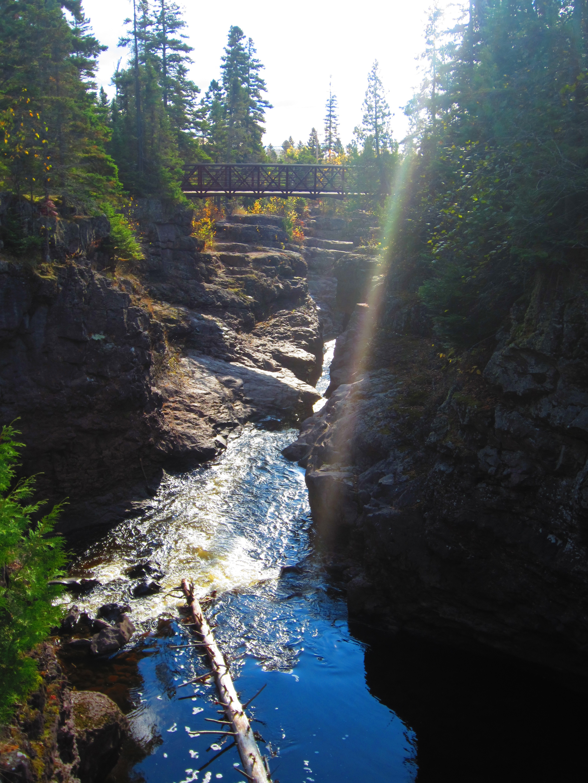
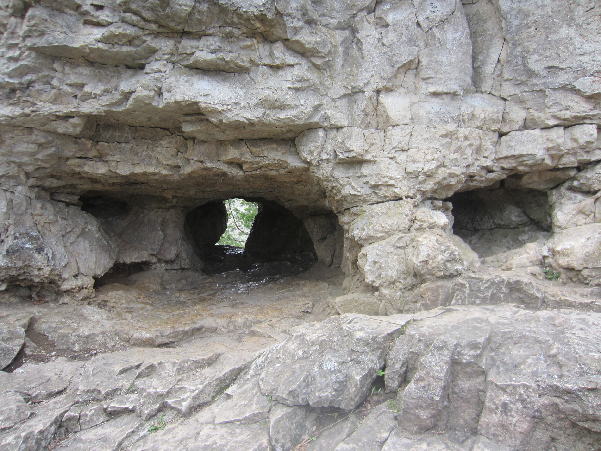
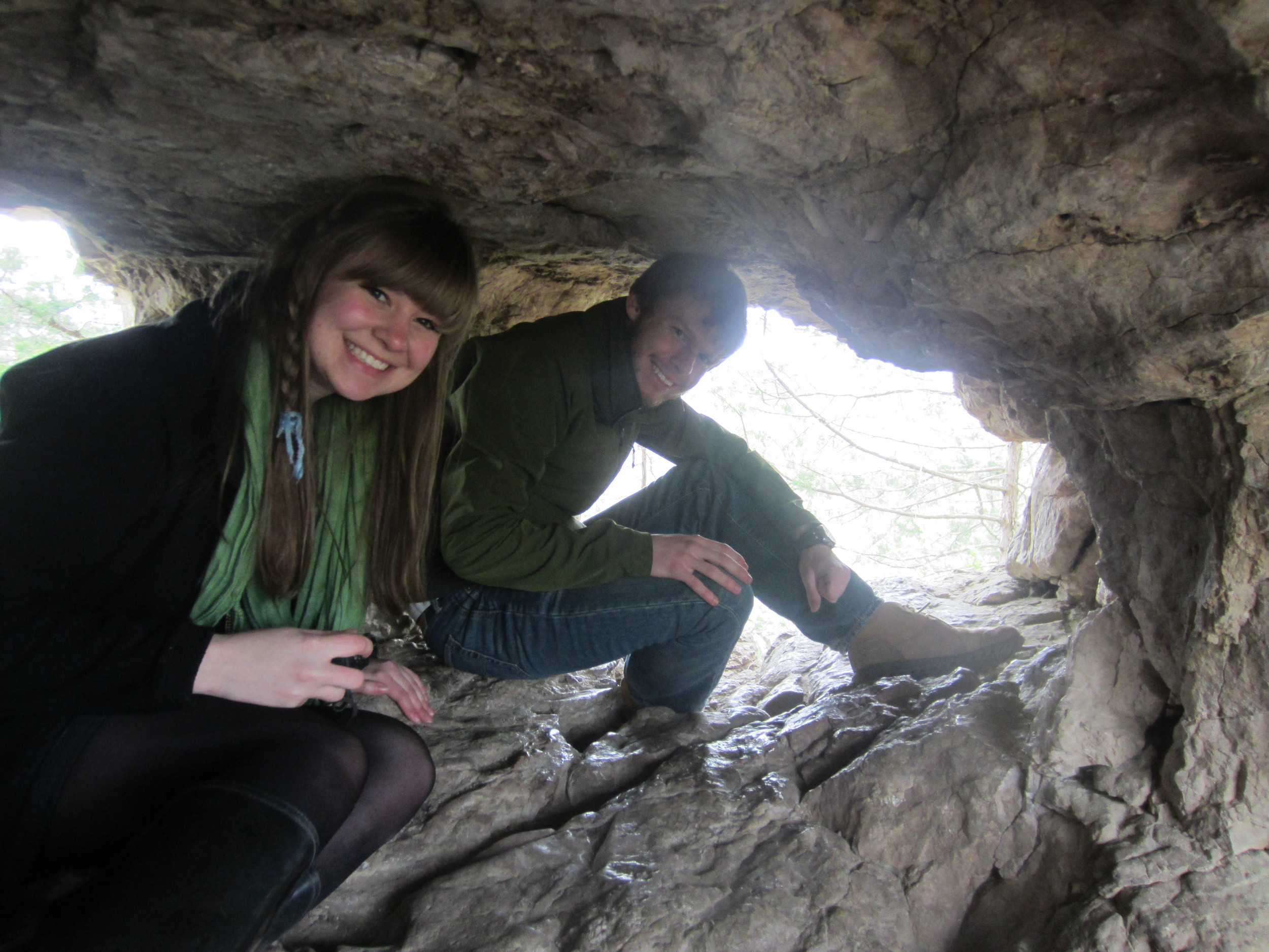
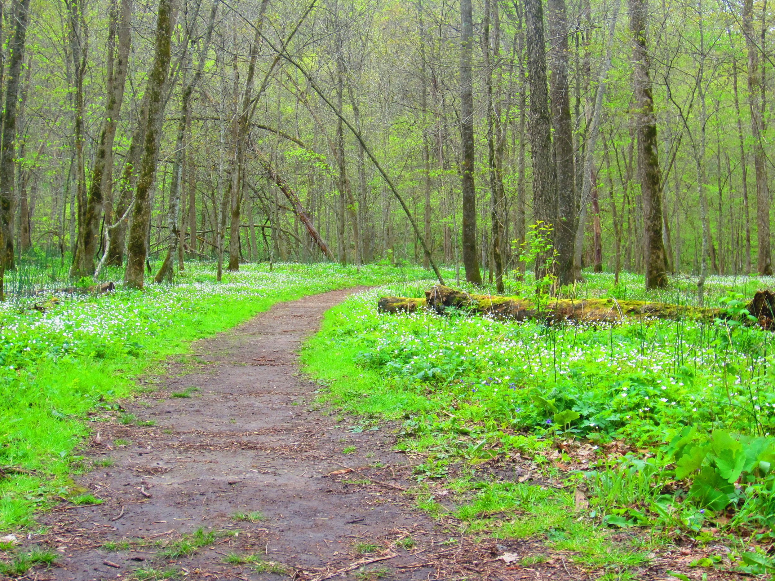
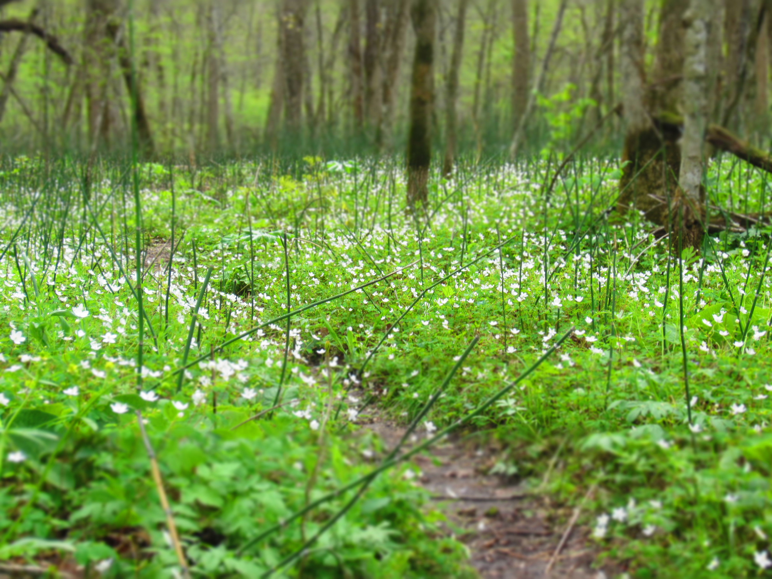
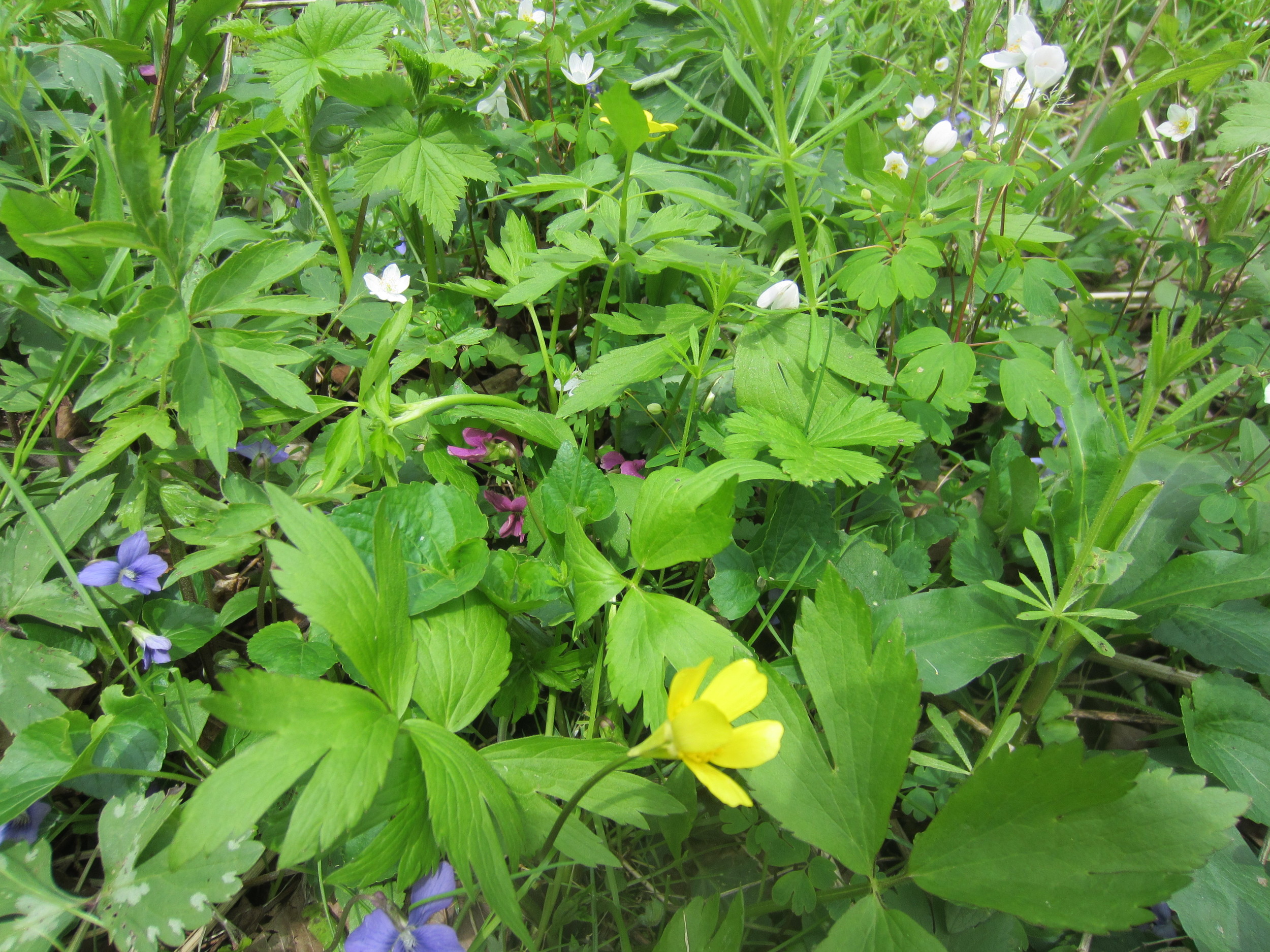
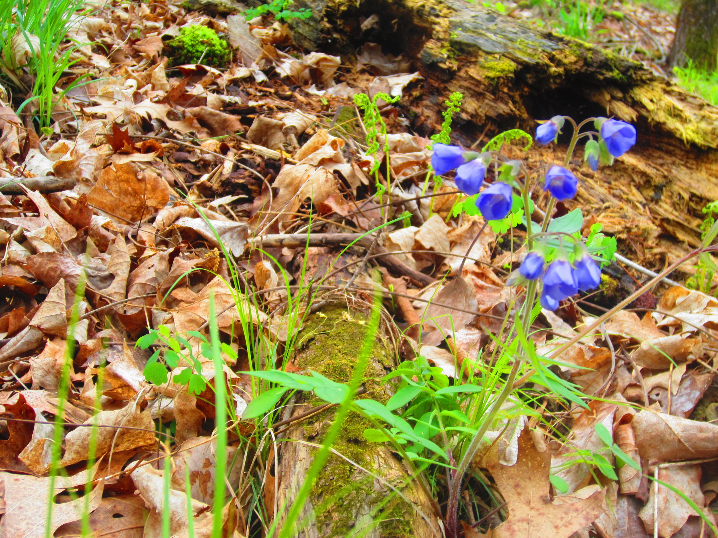
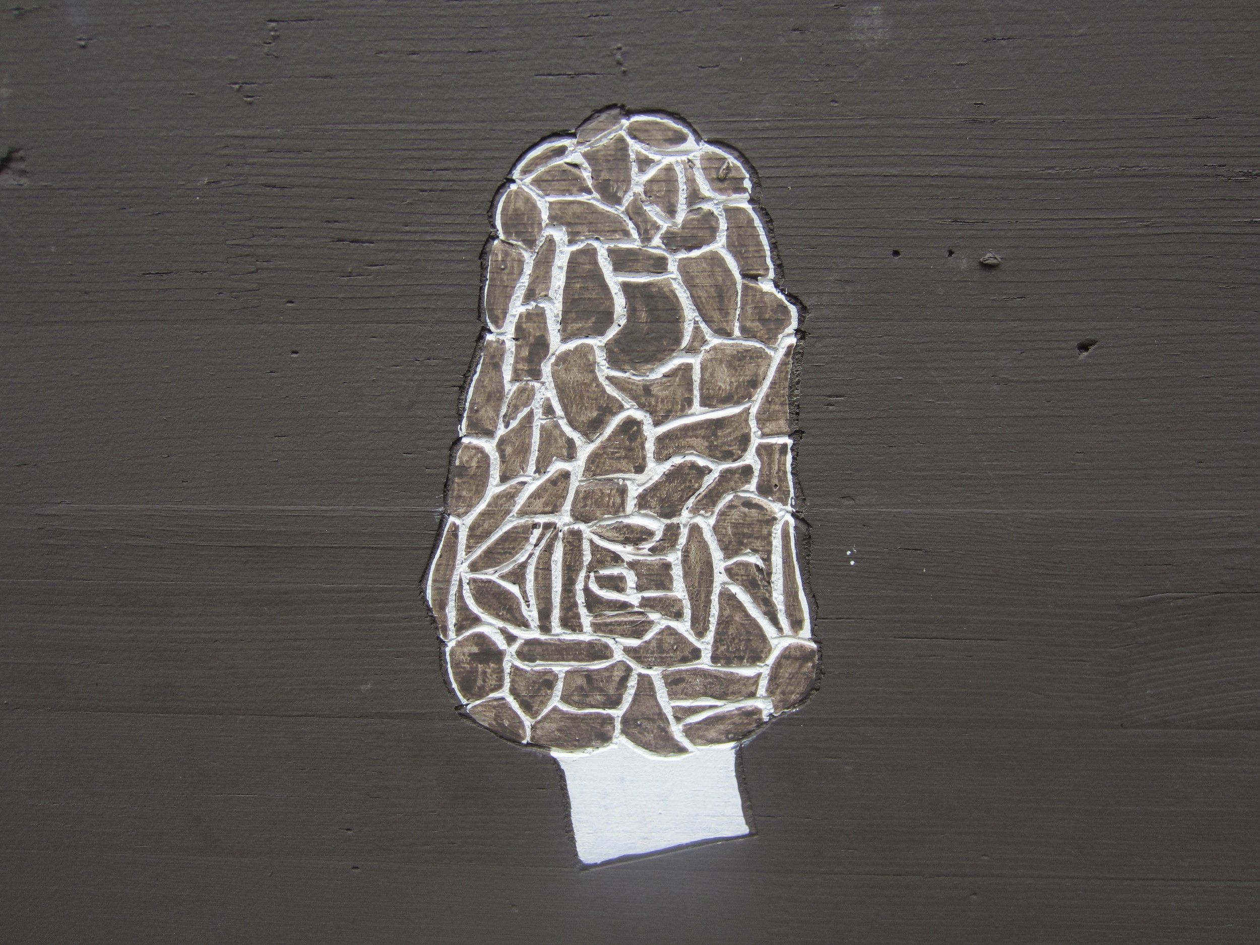
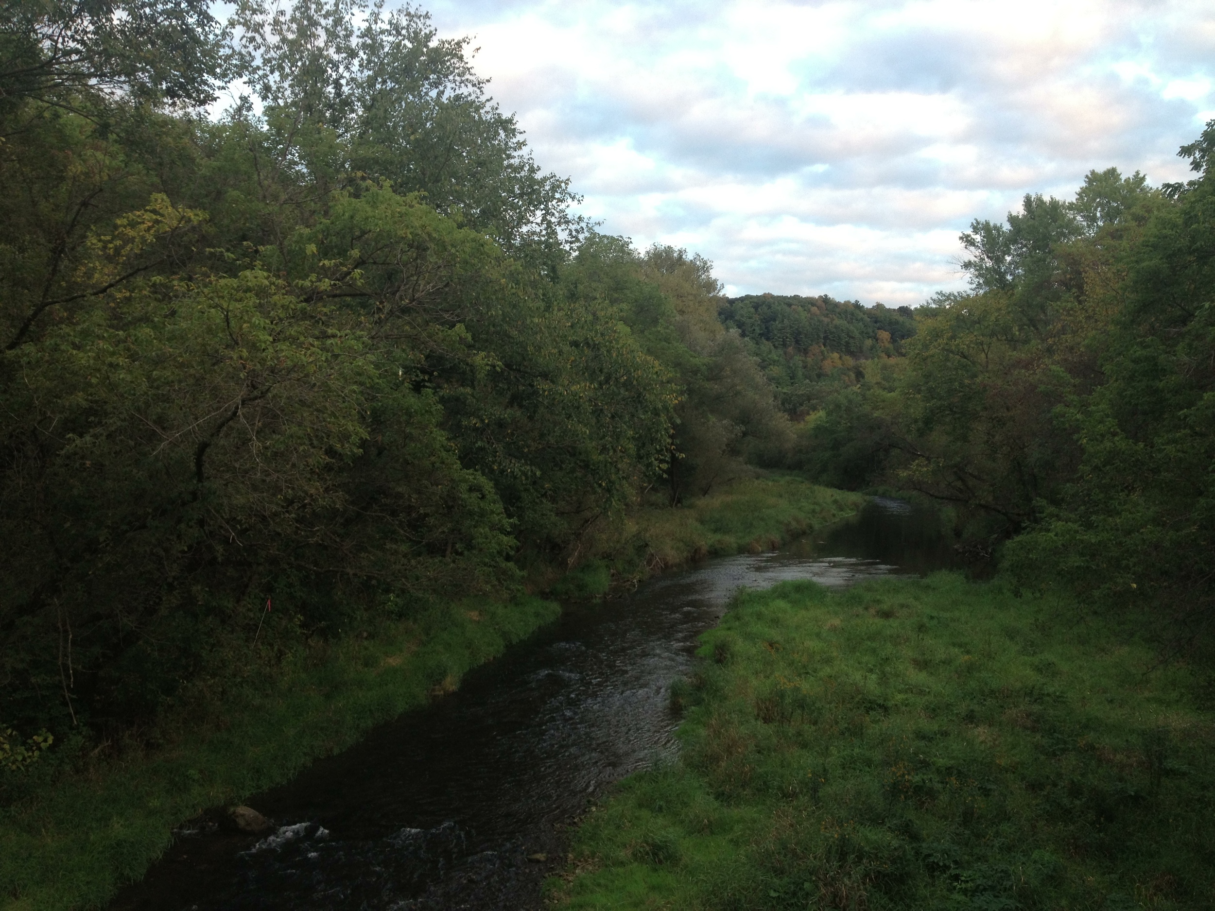
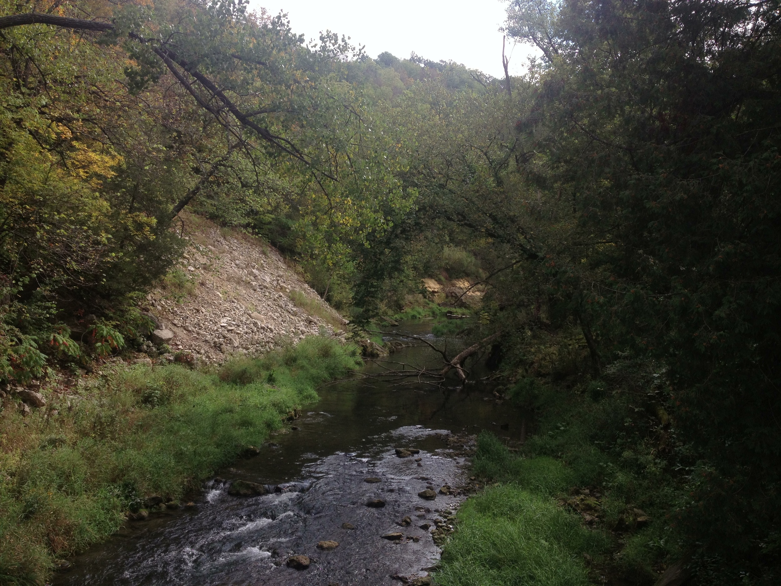
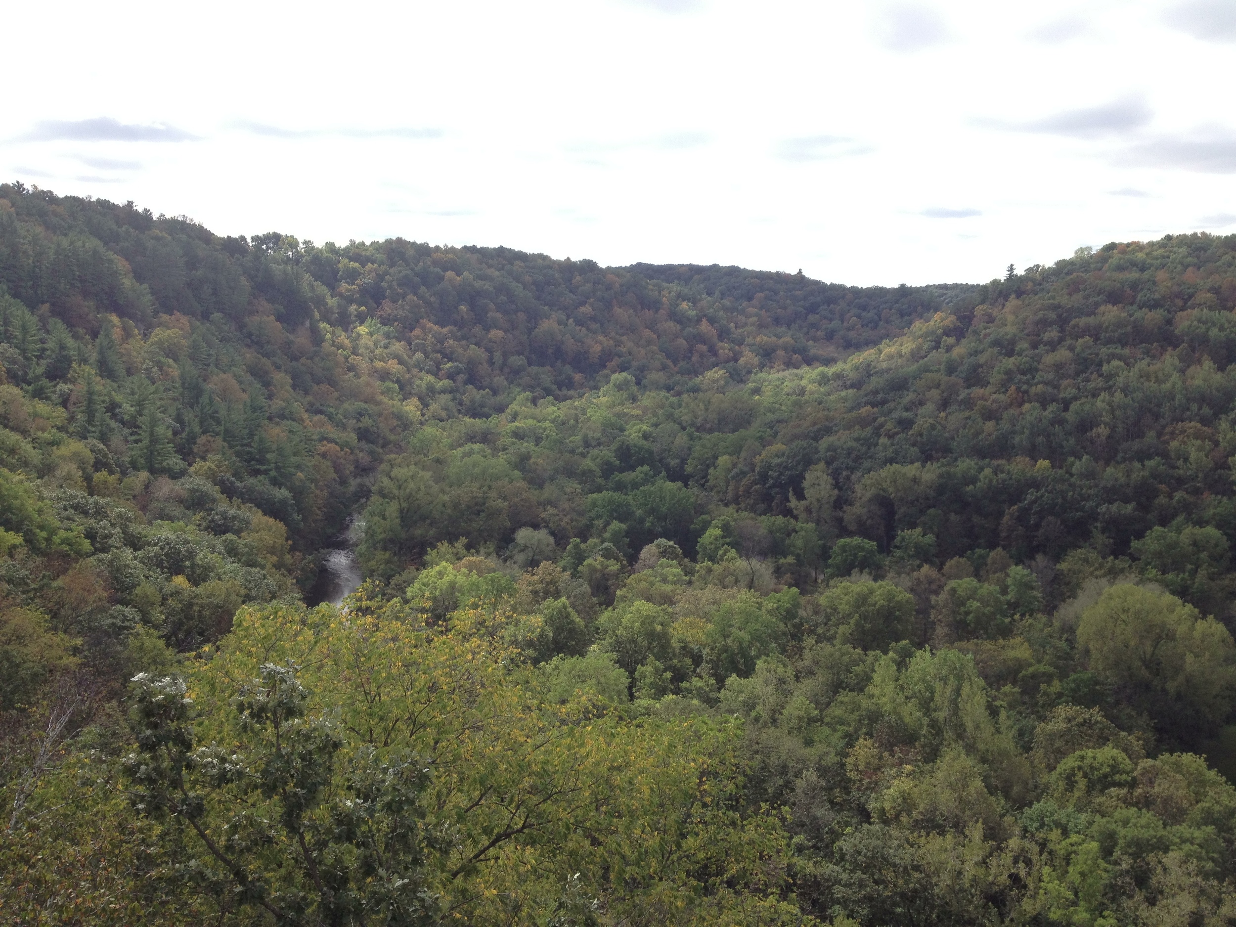
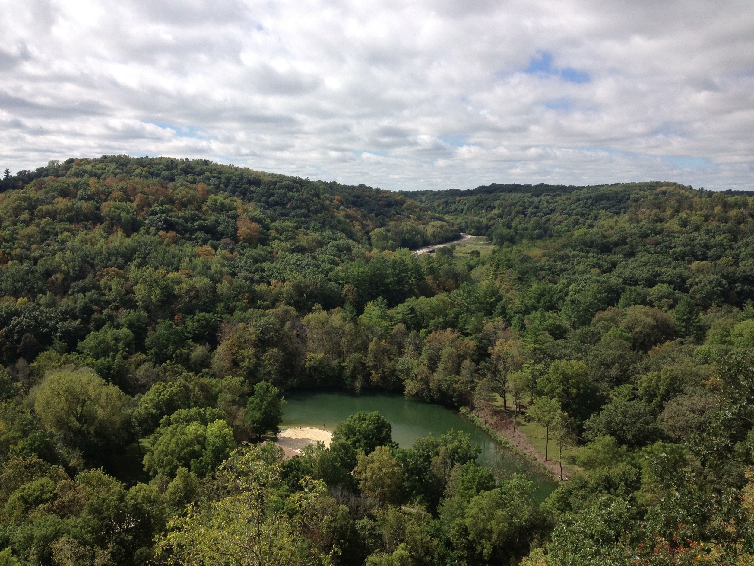
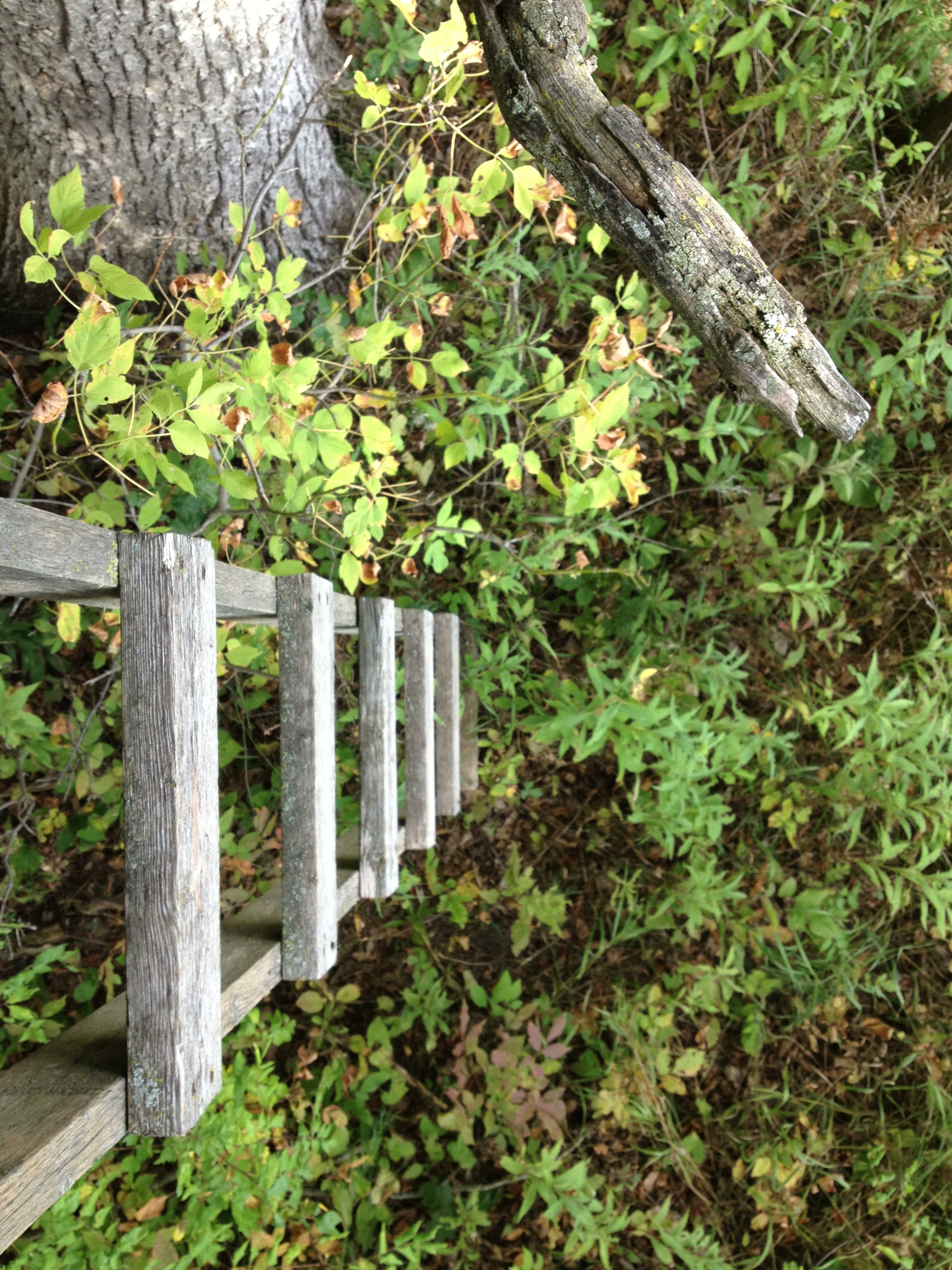
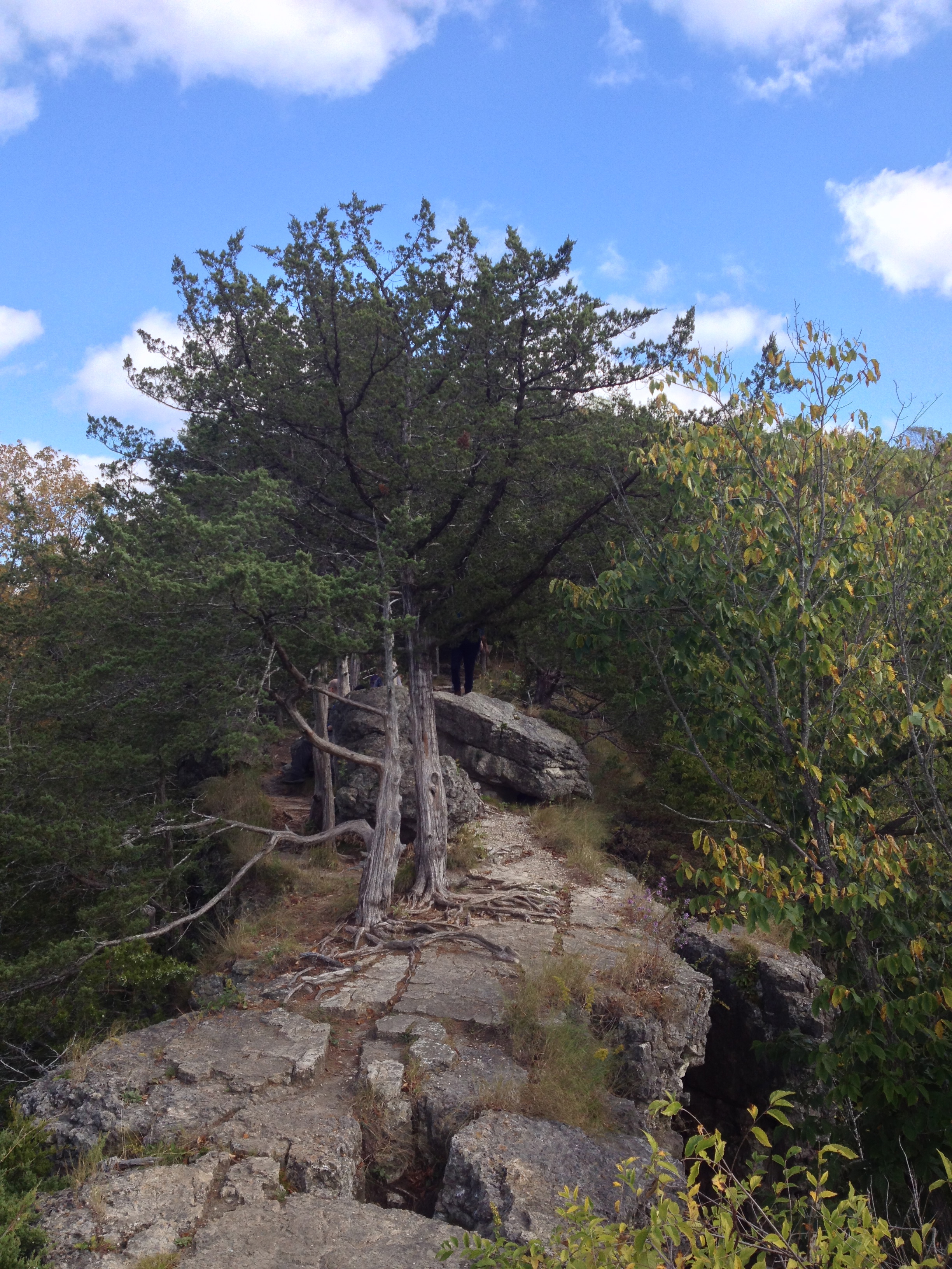
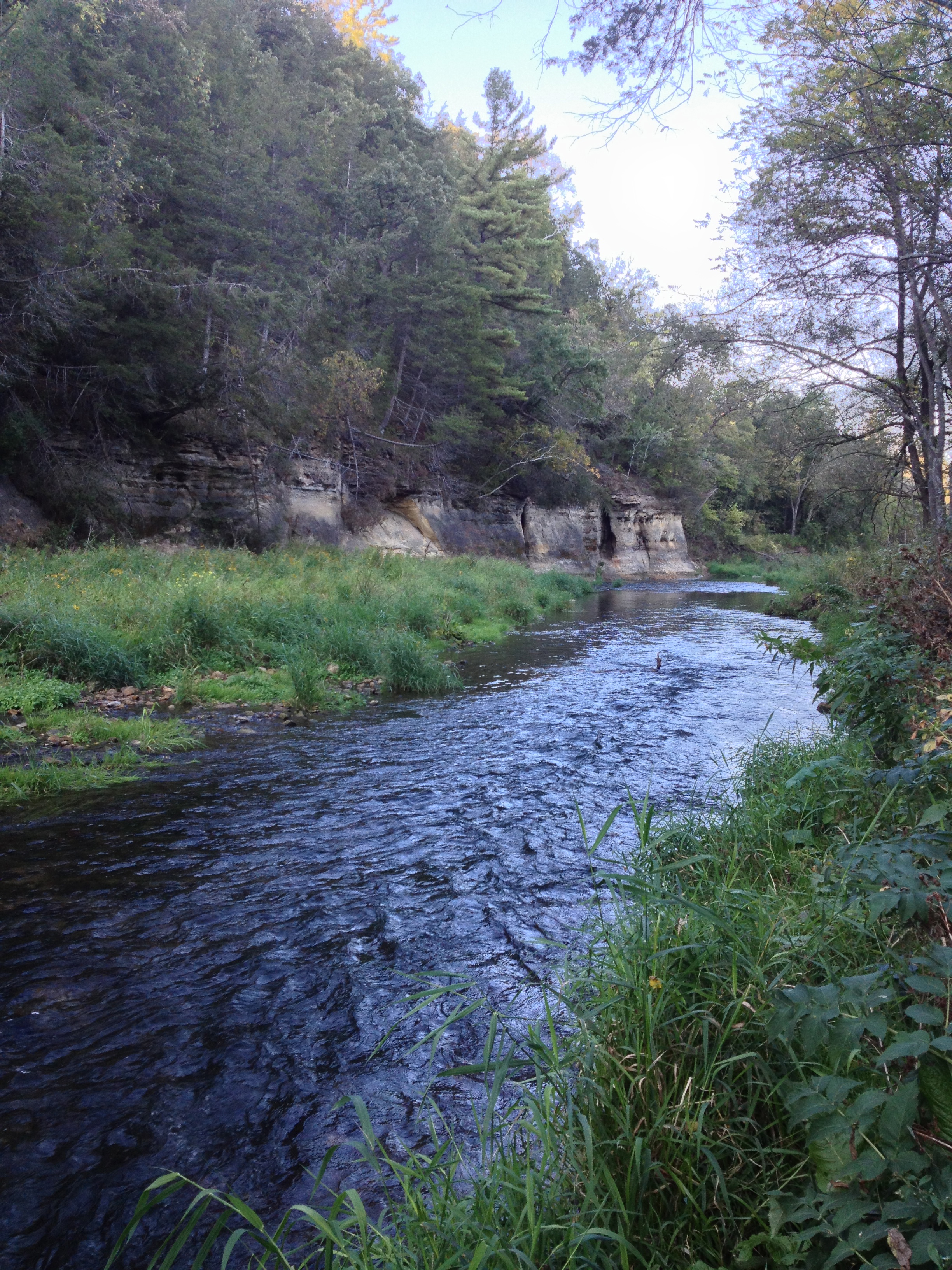
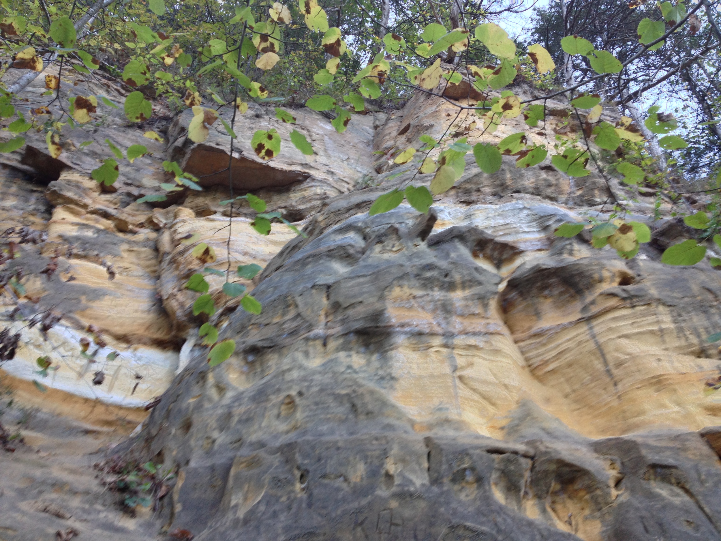
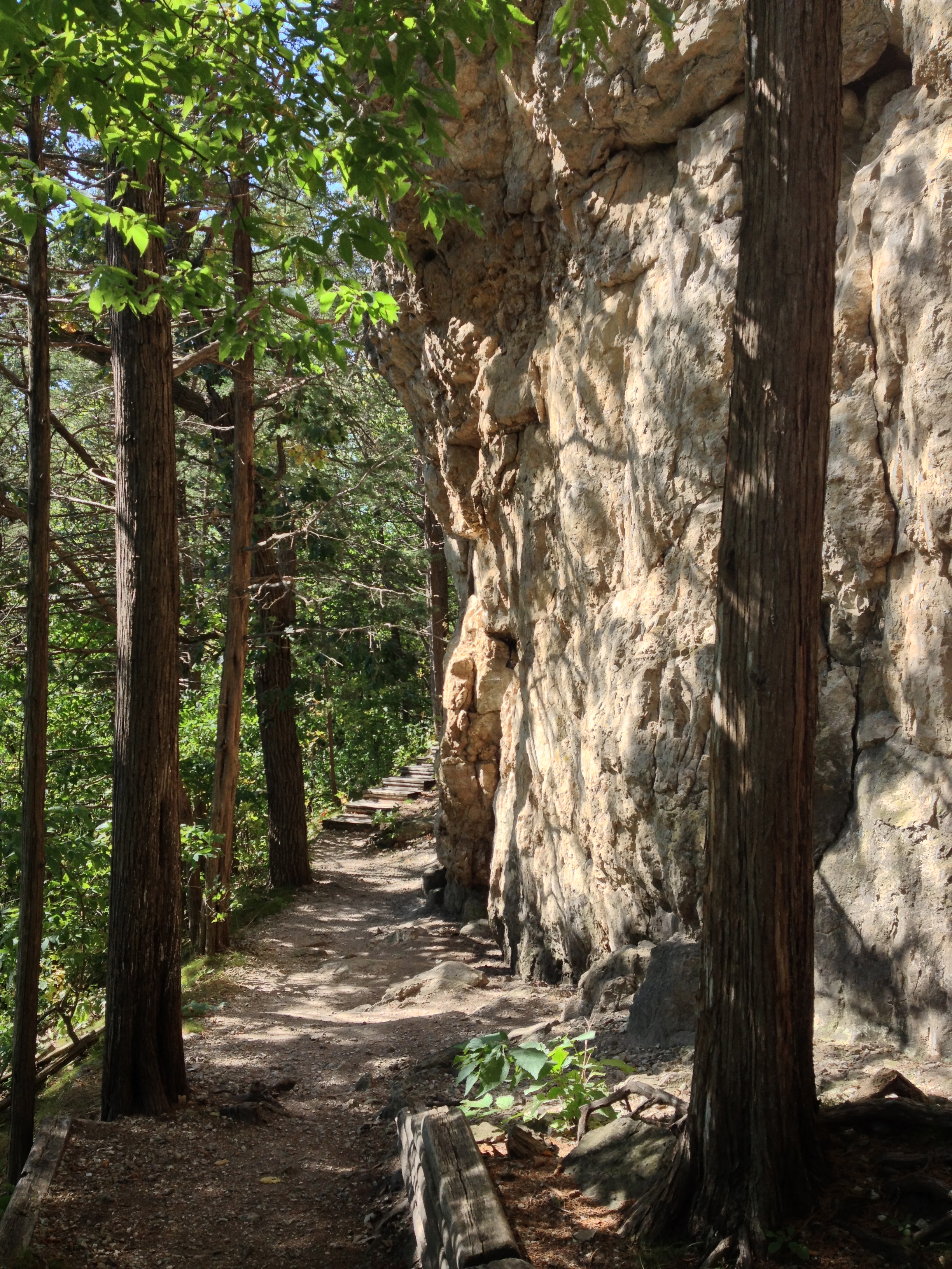
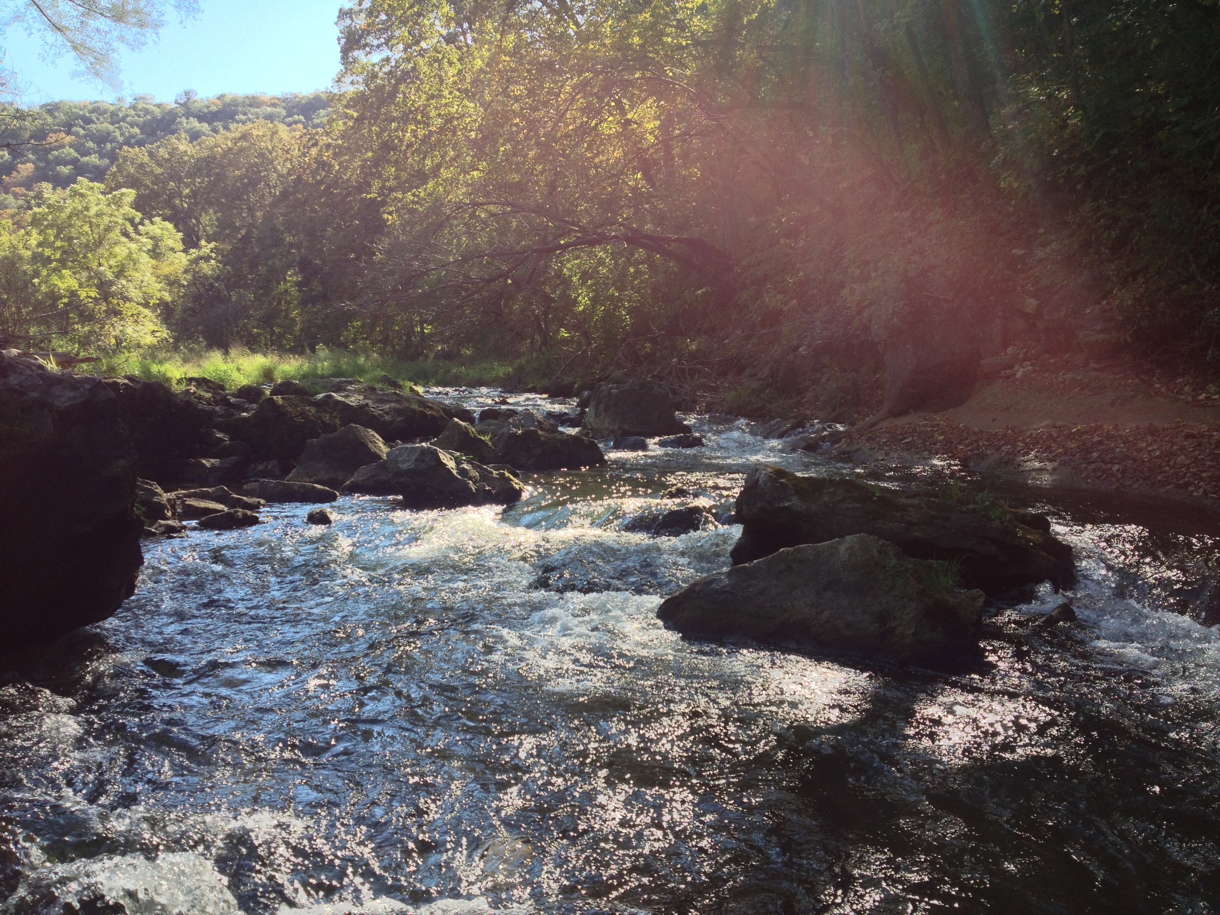
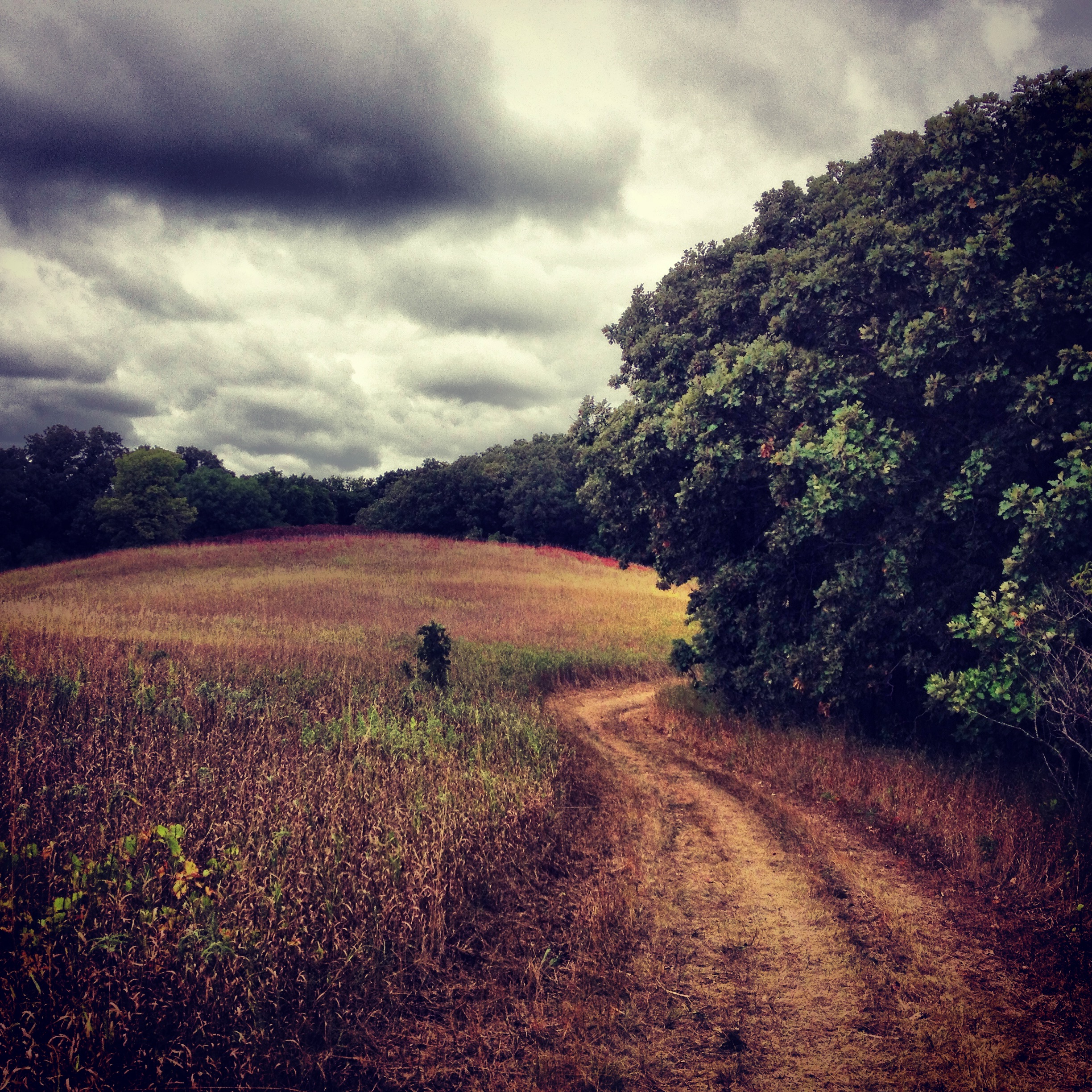
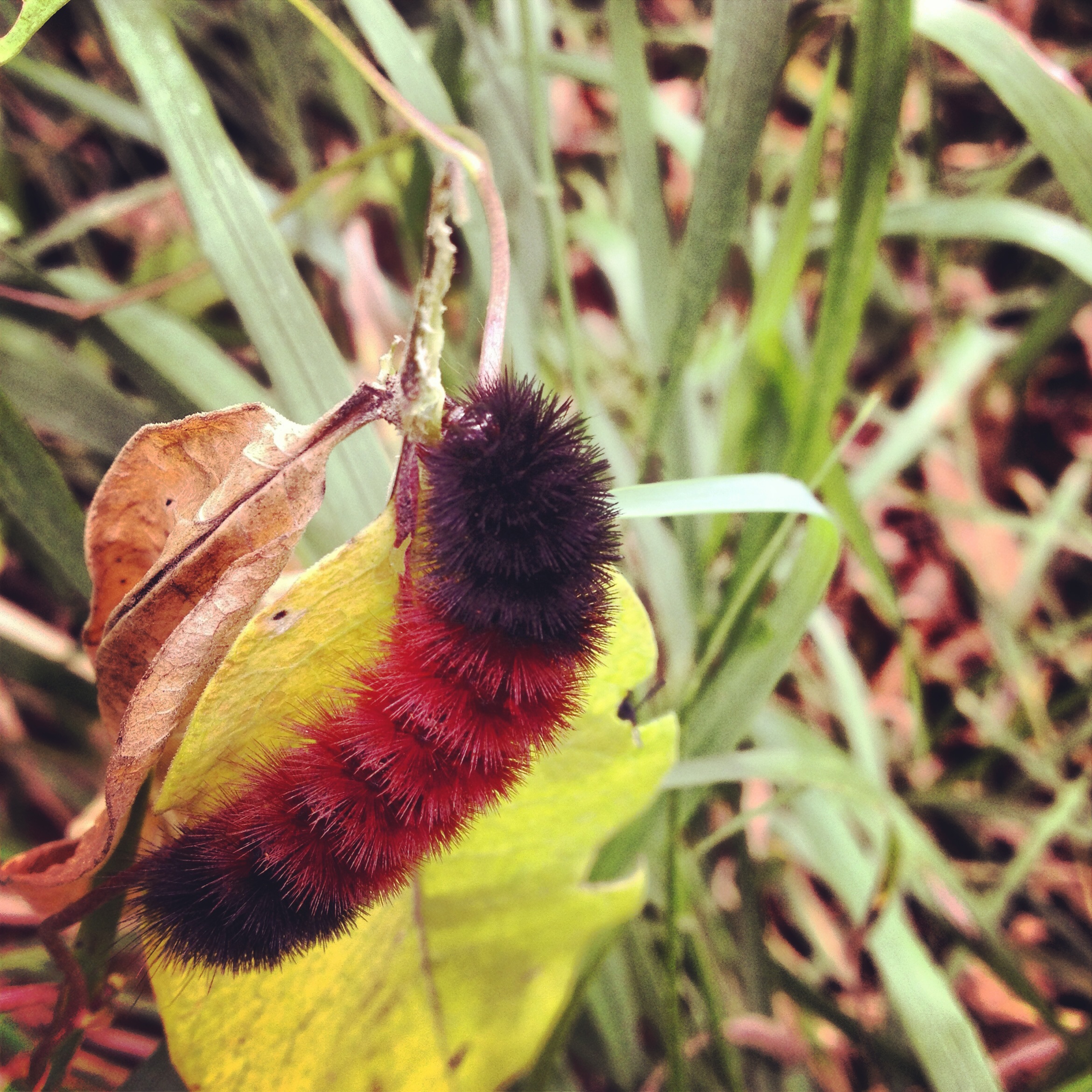
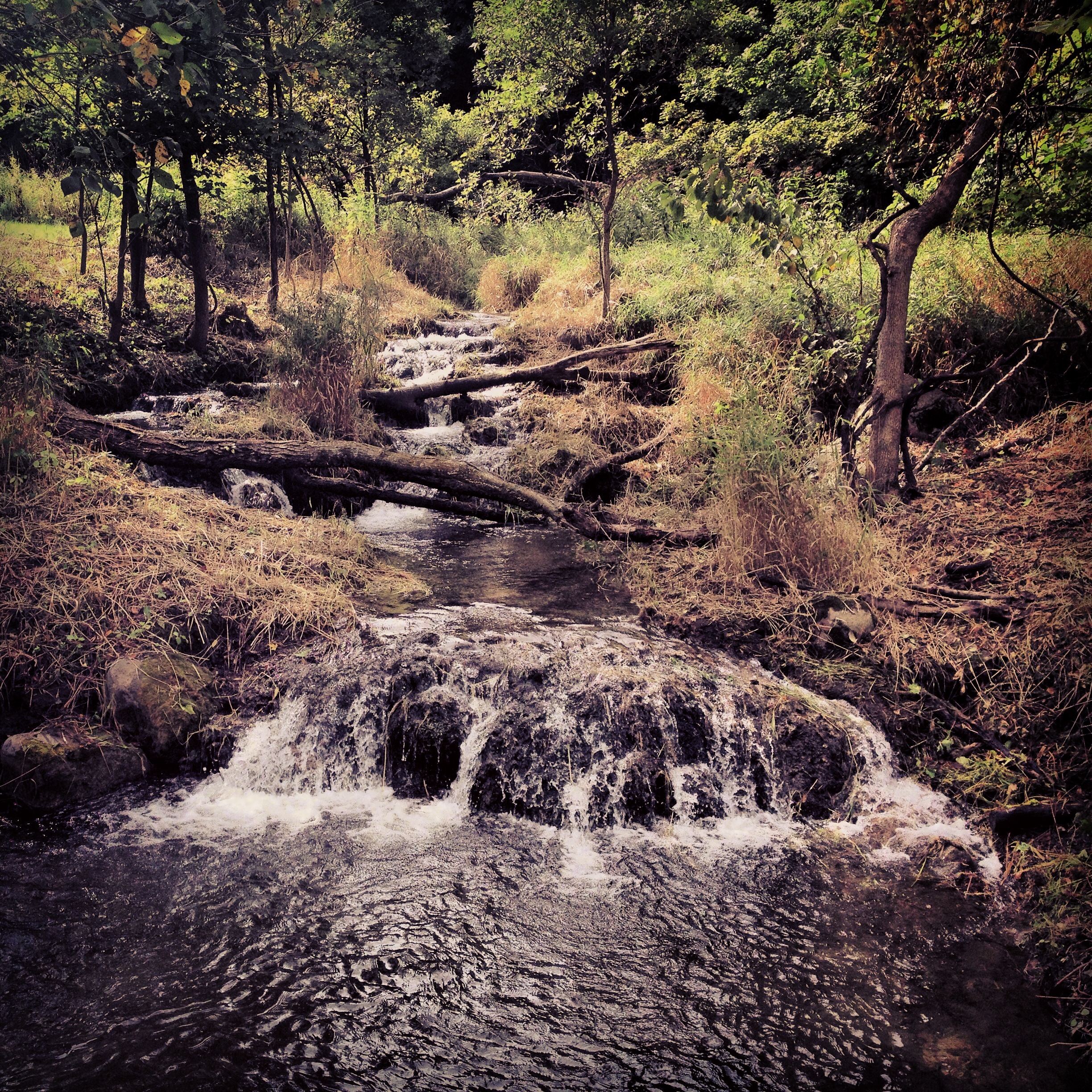
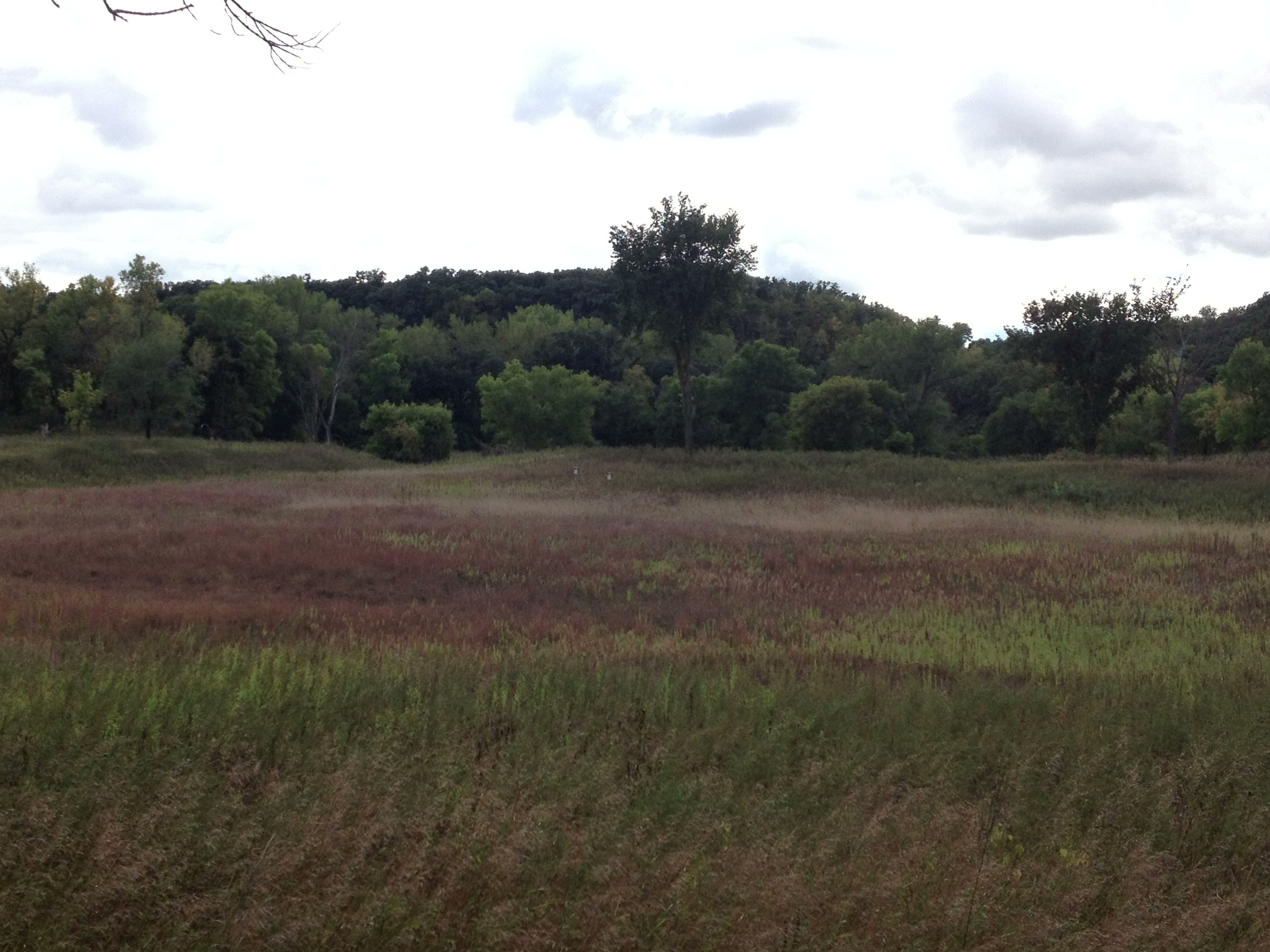
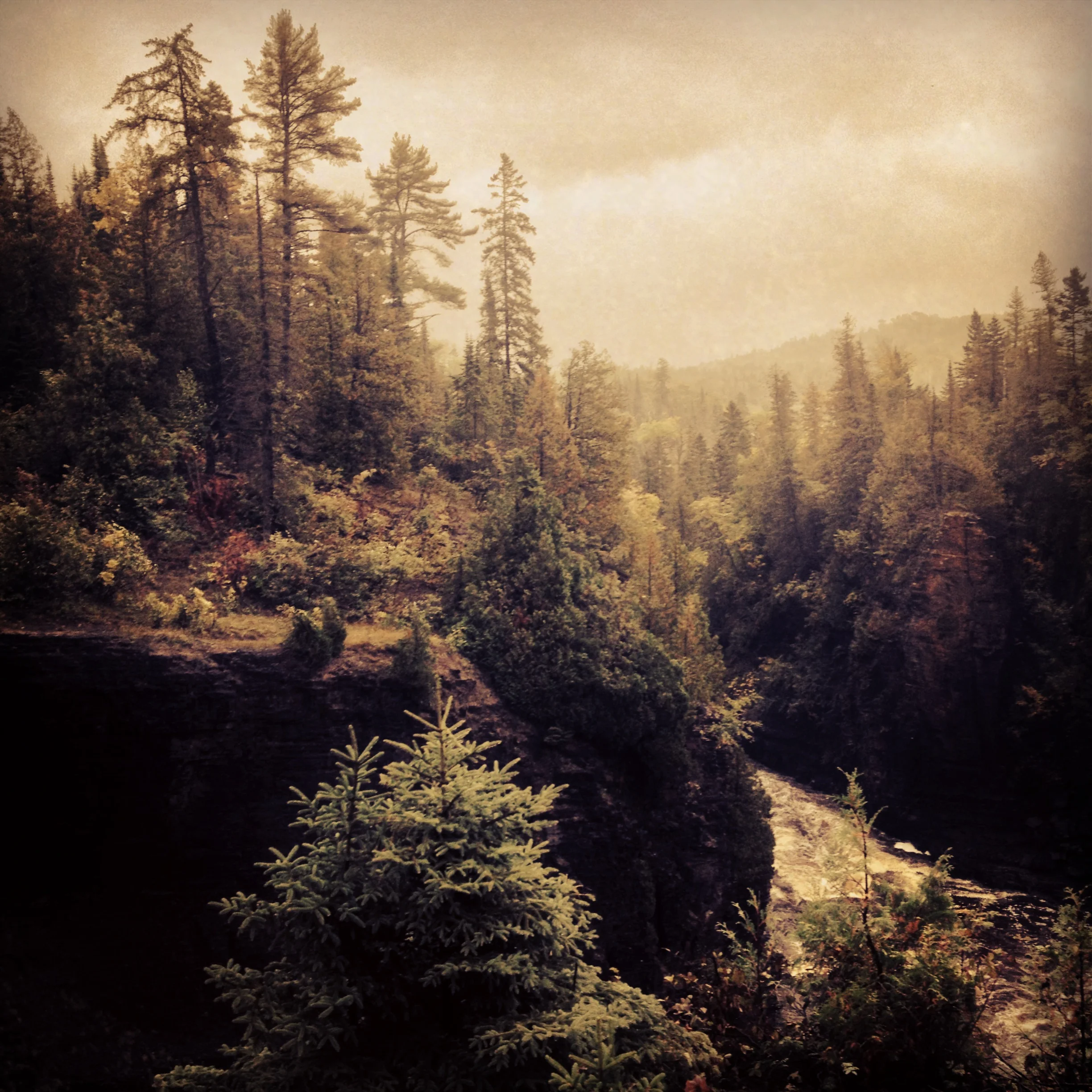
The Trail: The 1.9 mile Hiking Club trail follows the east bank of the Temperance River up to the upper falls before turning into the woods. The river is the highlight of the hike. You'll go by cascades, deep cuts in the rock, whirlpools, and wide vistas of the mountains (hills) in the background. The main trail continues to the top of Carlton Peak (which is a great hike that you should do while you're there), but the hiking club trail cuts back through the woods to the road. It is less scenic, but when I did it, there were mushrooms everywhere, which definitely made it worth while. I think the password is before the turn off, so if you've never been to the park before, I suggest skipping the turn off and just doing the Carlton Peak trail. It's quite a bit longer, but the view is worth it. 

Cumulative Miles Hiked: 43.5

Cumulative Miles Driven: 1853

Arbitrary Rating: 5/5

Whitewater State Park

The fall foliage at Whitewater State Park 

The Drive: From Minneapolis, the route to Whitewater State Park essentially follows the HWY 52 route to Rochester. Not the most interesting road trip in the world (possibly because of how often I've driven it). You drive though Cannon Falls, Zumbrota, Rochester, and St. Charles, past the oil refinery (which is worth seeing lit up at night - like some alien city), and past corn fields much less idyllic than the ones I praised in western Minnesota. The highway falls just short of the incredibly beautiful bluff country and manages to miss any preserved forest in the area. The point being that Whitewater is about the destination, not the journey - something you won't often hear me say, but true nevertheless.

Spring in Whitewater State Park brings carpets of wildflowers - and mushrooms. 

The Park: Whitewater State Park is at the cusp of bluff country, straddling the Whitewater River, a small tributary of the Mississippi. I've been here twice now and both times were well worth the trip out. The first time, I made it during wildflower season. The forest glades in the depths of the valley folds were carpeted with flowers - I've never seen anything else like it in real life. It was like wading through a sea of white and yellow and purple. We got a wildflower guide and hunted for (and found) rare species and hidden spots. The season is short, so get there at the right time (late Mayish). The second time was in the Fall and I was just before peak season, but the colors were already worth seeing. The rolling bluffs seem designed to show them off. Less detail than in Spring, but more grand, sweeping views. The park is also known for mushroom hunting (one of my favorite spring activities) and is a great place to camp - check out the hike in sites along the river.

Fall Colors at Whitewater State Park in Southern Minnesota 

The Trail: The hiking club trail follows the Coyote Point Trail on the north side of the park. Be prepared for stairs. There are hundreds of the them on the initial climb to the top of the ridge. The view is worth it however and since the trail follows the top of the ridge for the rest of the way to Coyote Point, it is relatively flat and has great vistas from both sides along the way. If you are not going specifically for the hiking club trail, I would suggest doing the Trout Run Creek Trail on the south side of the park. It is popular and more crowded, but for good reason. It gives you the best overlooks (really amazing points and 270° views) in the park and then descends down to the creek where brook trout abound (fly fishermen take note) and where the best wildflowers are in the spring. It was a bit dreary in the fall, but the overlooks made up for that. It would probably also be great for winter snowshoeing - I'll let you know.

Cumulative Miles Hiked: 42.6

Cumulative Miles Driven: 1497

Arbitrary Rating: 4/5 in Summer, 5/5 in Fall/Spring

Camden State Park

The prairie at Camden State Park just taking on the colors of autumn. 

The Drive: Being a city boy, one of my favorite parts of road tripping is driving though all of the small towns in the remote corners of Minnesota (and America in general). Some towns, like the previously mentioned St. Peter, are bustling, wealthy, and idyllic. They are everything a successful river town should be - a Sinclair Lewis main street, a respectable Lutheran college, a good balance of steeples and bars - they are full of life. This is not always the case. Between Lake Shetek and Camden lies Currie, MN, a town of just over 200 people on the banks of the Des Moines River. Currie is anything but alive. Boarded up storefronts, dilapidated houses, and (the saddest thing of all) a poor attempt at a railroad museum with plastic bison yard ornaments. There are many towns like Currie - once centers of commerce because of a flour mill on the river or an outlet to a railroad - but the businesses fail, the kids move away, and all that's left is a row of wooden structures just waiting to burn down.

(Disclaimer: I haven't seen Currie in high tourist season and it is in a region officially known at The Lakes, so maybe summer injects the town with new life, but it's hard to live a year on two and half months of business.)

The Camden State Park hiking club trail bordering the top of the valley. 

The Park: As may be deduced from my arbitrary rating, I was impressed with this park. Camden is a destination park. Situated along the Redwood River, the park has native prairie at the top of the valley, descends through mature oak forests, and ends with cottonwood river bottoms. There are hidden hollows throughout the park sending me back to my time in the Blue Ridge Mountains. Maybe it was the mood I was in when coming to the park, maybe it was because this was the last park on my prairie trip, maybe it was just the contrast to the lackluster Lake Shetek State Park, but I knew I was going to love this park when I first drove into it. The road to the trailhead brings you on a nice tour - over the railroad, past the horse camps, down to a swimming beach. I am doing a bad job of explaining why I liked this park so much. There was nothing spectacular. No huge waterfalls, no mountains, no bluffs, no unique animals or history - but it had a wholesome beauty that just kind of filled me up. Pictures, fortunately, don't lie and this park provided some of my favorite pictures from the whole route.

Always ready for a railroad picture. 

The Hike: The 2.4 mile hike (the park has over 15 miles of hiking) follows the route of the Dakota Valley trail. Beginning at the swimming beach, located at the very bottom of the Redwood River Valley, the trail slowly climbs, winding its way through all of the different ecosystems the park has to offer. It summits at an overlook where you can see the river and much of the valley. I was a little early for fall colors, but at peak, this view must be unparalleled in the local region. The trail backtracks, cuts through the prairie at the top of the ridge, and then rapidly descends back to the hollow in which it began. A sign along the trail encourages you to stop, shut up, and just listen - I think you should also smell. You can be out of ear and eye shot from civilization, but the best way to determine if you are really in a natural place is to smell. The scent of wilderness is unmistakeable and Camden's got it.

Cumulative Miles Hiked: 40.4

Cumulative Miles Driven: 1230

Arbitrary Rating: 6/5

Lake Shetek State Park

Lake Shetek State Park Hiking Club Path on the Island. 

The Drive: If you think that after driving hundreds of miles through almost identical corn and soybean fields, the drive would start to become dull, you've underestimated my ability to romanticize my experiences. I just can't gaze out at the rolling hills of gold and emerald and not feel like I'm in the middle of some cheesy and endearing patriotic medley. Every red silo and every ramshackle farmhouse evokes some idealized version of the American heartland - the breadbasket of the world - bulwark of quiet civilization guarding us against the uncertainty and wilderness of the outside a world - a proverbial beacon on the hill. Even though I know most of these farms are controlled by massive agricultural conglomerates with patented GMO seeds producing an economically unsustainable product, kept alive by immense, politically driven government subsidies, and operating on land illegally seized from oppressed indigenous people, when I'm actually on the road, it is easy to ignore all that and just appreciate the many hues soybeans go through on their way to drought induced death.

Lake Shetek is actually a pretty big lake, something I wasn't expecting to encounter in this part of the state. 

The ParkLake Shetek (Shetek means Pelican, but I never saw any there) is another park that I don't really feel the need to explore more than I did. Although there is about seven lakes within the boundaries of this small park, the main attraction is Lake Shetek itself, a large lake popular with fisherman and boaters. I am not a fisherman and it was not a friendly day for boating or swimming, nor was the one mile hiking club trail adequate for me to get an idea of the kind of hiking they have, so I guess I can't truly attest to the virtues of this park. They do have an old pioneer cabin (history!) which is worth exploring and a really unusual monument right outside the park. I'm still not quite sure what it was commemorating. The beginning of the Casey Jones bike trail is near the park as well.

An old barn in Lake Shetek State Park 

An old barn in Lake Shetek State Park 

The Hike: Beginning at the boat landing, this one mile jaunt takes you across the Lake Shetek causeway to a self-interpretive island loop. While walking through the tangle of second growth oak and ash, you learn from signs how beautiful the island was before it's virgin forest was ravaged by disease, leaving it as barren as the stripped farmland on the lake's shores. Using my impressive imaginative skills I was able to reconstruct the island as it was and consequently enjoyed my hike much more. I enjoyed it less, however, the second time I did the loop since I somehow missed the password sign the first time around (one of the contributing factors to the park's 3/5 arbitrary rating). The path is easy, quick, and relatively uninteresting. Check it out if your in the area, but don't go out of your way.

The path to the island. It gets pretty windy out in the middle of the lake so be prepared. 

Cumulative Miles Driven: 1190

Cumulative Miles Hiked: 38

Arbitrary Rating: 3/5

Kilen Woods State Park

Kilen Woods State Park Hiking Club Trail runs through both prairie and oak forests. You see a lot of diversity in the two short miles. 

Kilen Woods State Park Hiking Club Trail runs through both prairie and oak forests. You see a lot of diversity in the two short miles. 

The Drive: The drive from Blue Mounds State Park to Kilen Woods is almost entirely on I-90. If you've ever driven on the big interstates (and of course you have) you know, with some exceptions, they are pretty mundane. However, I did take a detour on my way in Worthington, MN to experience some of the Turkey Day festivities with my cousins. Worthington is a fairly large town, but they still do crazy small town stuff like racing turkeys through the street and running 10k's. But I couldn't stay long if I wanted to get all my hikes in, so I missed the actual turkey races. There is always next year.

Can't escape corn fields even in Kilen Woods. 

Can't escape corn fields even in Kilen Woods. 

The Park: Kilen Woods is in the Des Moines river valley and is known for its spring wildflowers (I was there in the fall). The valley, where the river cuts though a giant glacial drift, it covered in a dense oak forest, while the heights are prairie/farmland like everything else around it. The website lists "peaceful/quiet park" as a highlight and indeed, the park was deserted when I got there. Despite apparently being a popular camping park, I didn't see another person the entire time I was there - which isn't that unusual for remote parks.

A storm rolling in over Kilen Woods State Park 

A storm rolling in over Kilen Woods State Park 

The Hike: The 2-mile hike starts near the bottom of the valley, passing through huge canopies of oak, the ground strewn with acorns (remind me to tell you sometime how to whistle with an acorn cap). It winds through the forest until you hit its lowest point where there is a sign pointing toward "Dinosaur Ridge." Now I don't know why its called Dinosaur Ridge, but if I had to guess, it would be because it is a long, dreary, prehistoric climb to the top. The hike to the top of the ridge felt like two miles in and off itself. I thought the view would be worth it. It wasn't. At the top of the ridge, the trail breaks from the woods and enters the prairie. It wraps around the back of the park, following corn fields for much of the time, before reentering the woods and mazing its way back to the parking lot. Despite Dinosaur Ridge, I would rank this park third of the six parks on this leg of the trip - mostly because it really was peaceful.

Cumulative Miles Hikes: 37

Cumulative Miles Driven: 1003

Arbitrary Rating: 4/5