Lake Superior

Tettegouche State Park

Highlights: 

-Backcountry Hikes

-Waterfalls

-Stellar Lakeside Hikes

-Brand New Visitor Center 

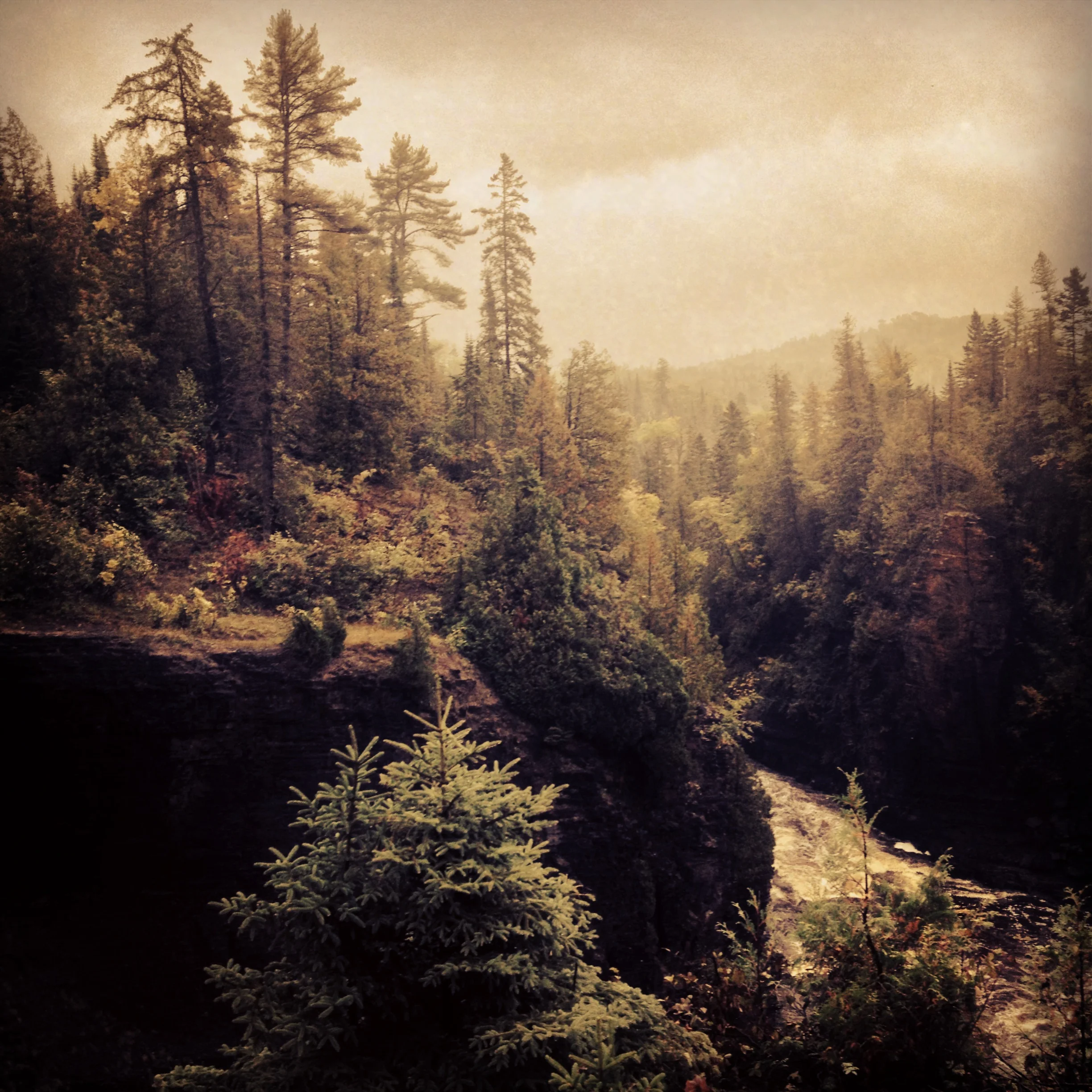
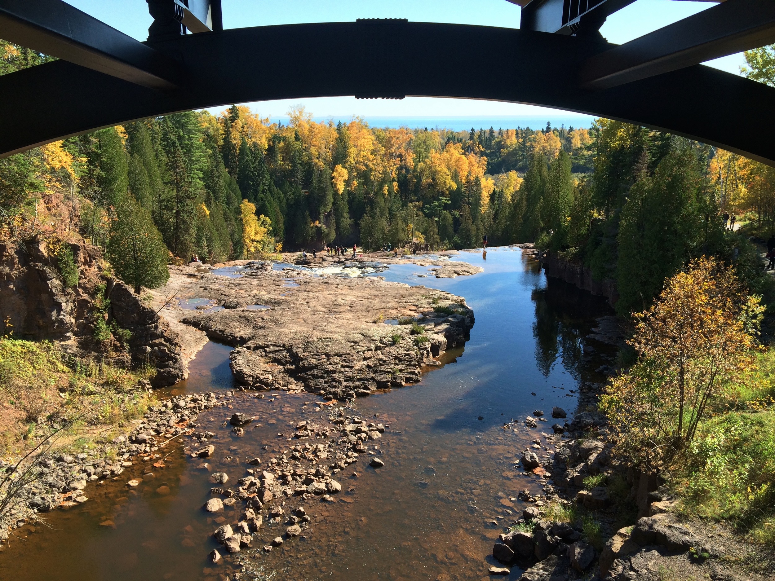
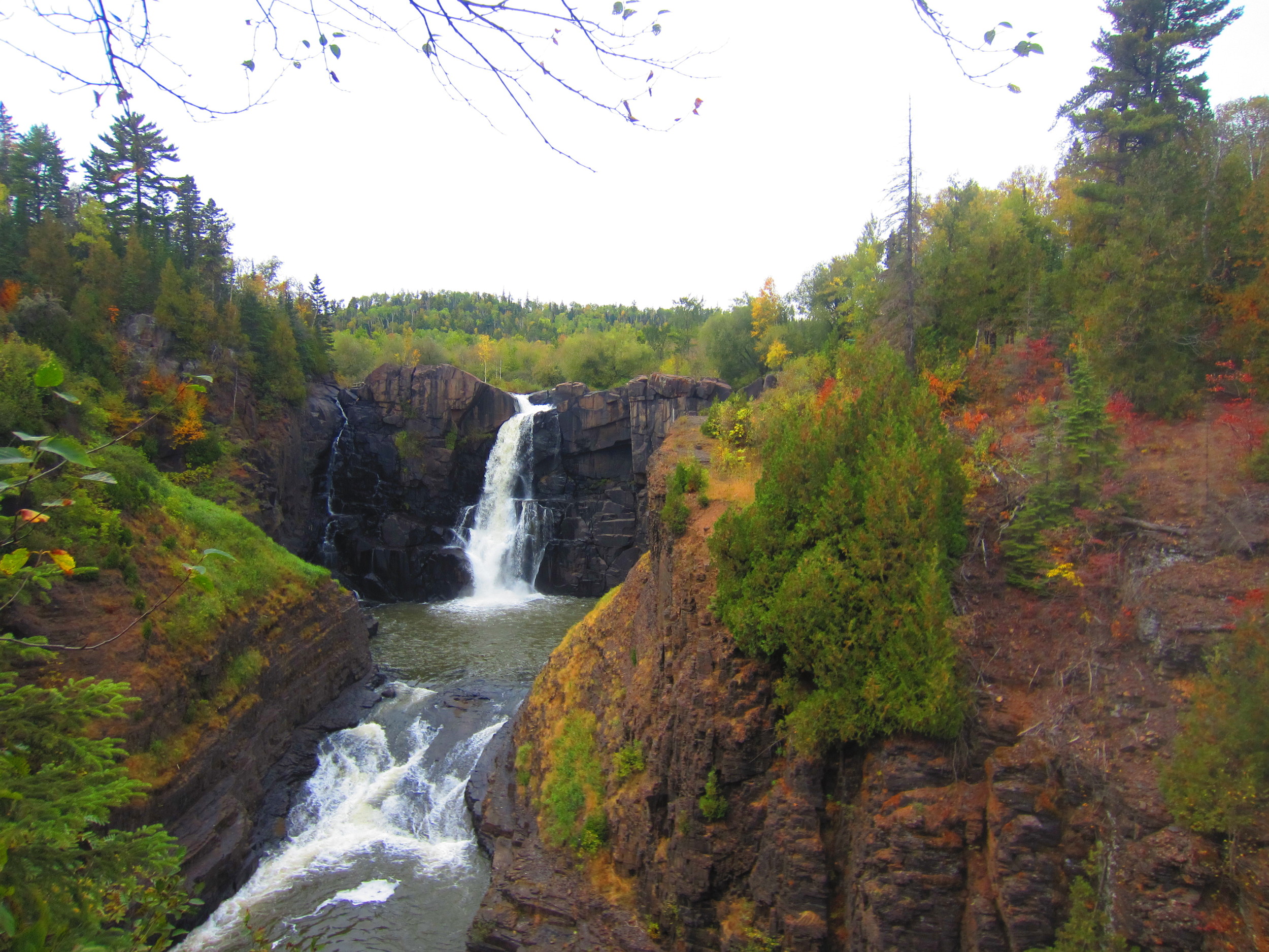
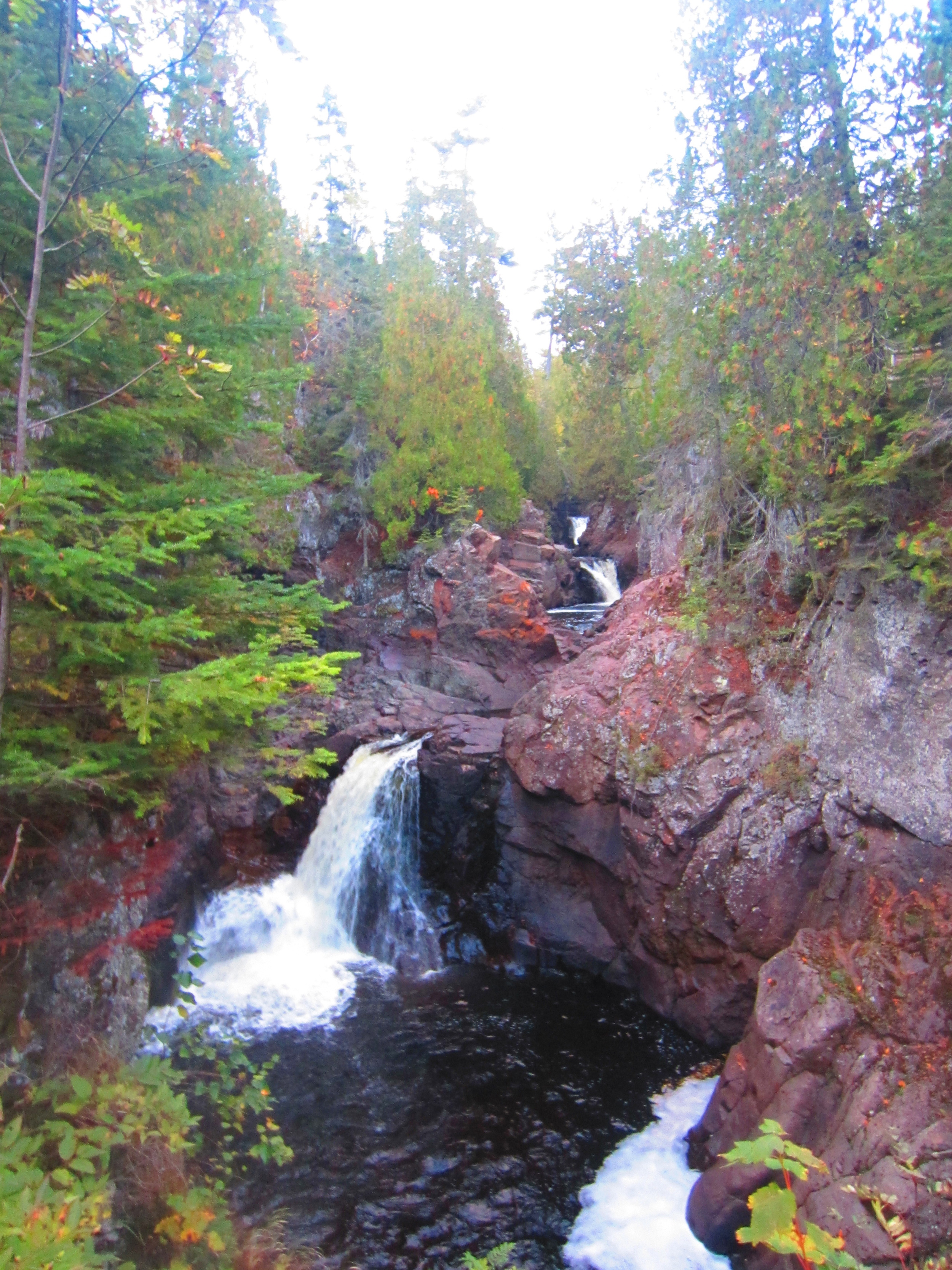
The view from the top of High Falls at Tettegouche State Park

The Park

If the Minnesota State Park system had a flagship park, it would be Tettegouche. This 9,500 acre park along the Baptism River boasts 23 miles of trails including a section of the Superior Hiking Trail (SHT), three waterfalls, and a spectacular shoreline along Lake Superior. An easy hike is to High Falls, cascading 60 ft over the basalt cliffs. Inland lakes offer prime trout fishings and the high cliffs along the trail to Shovel Point is one of the most popular climbing locations along the shore. And if you need a break from your outdoor adventures, the visitor center features a massive central fireplace and comfortable seating to hang out and relax. The only drawback is that the campsites, which are still great, are not situated right along the lake like Split Rock or Temperance. Nevertheless, this park truly has something for everyone and is a must visit. 

The cliffs at Shovel Point in Tettegouche State Park 

The Hike

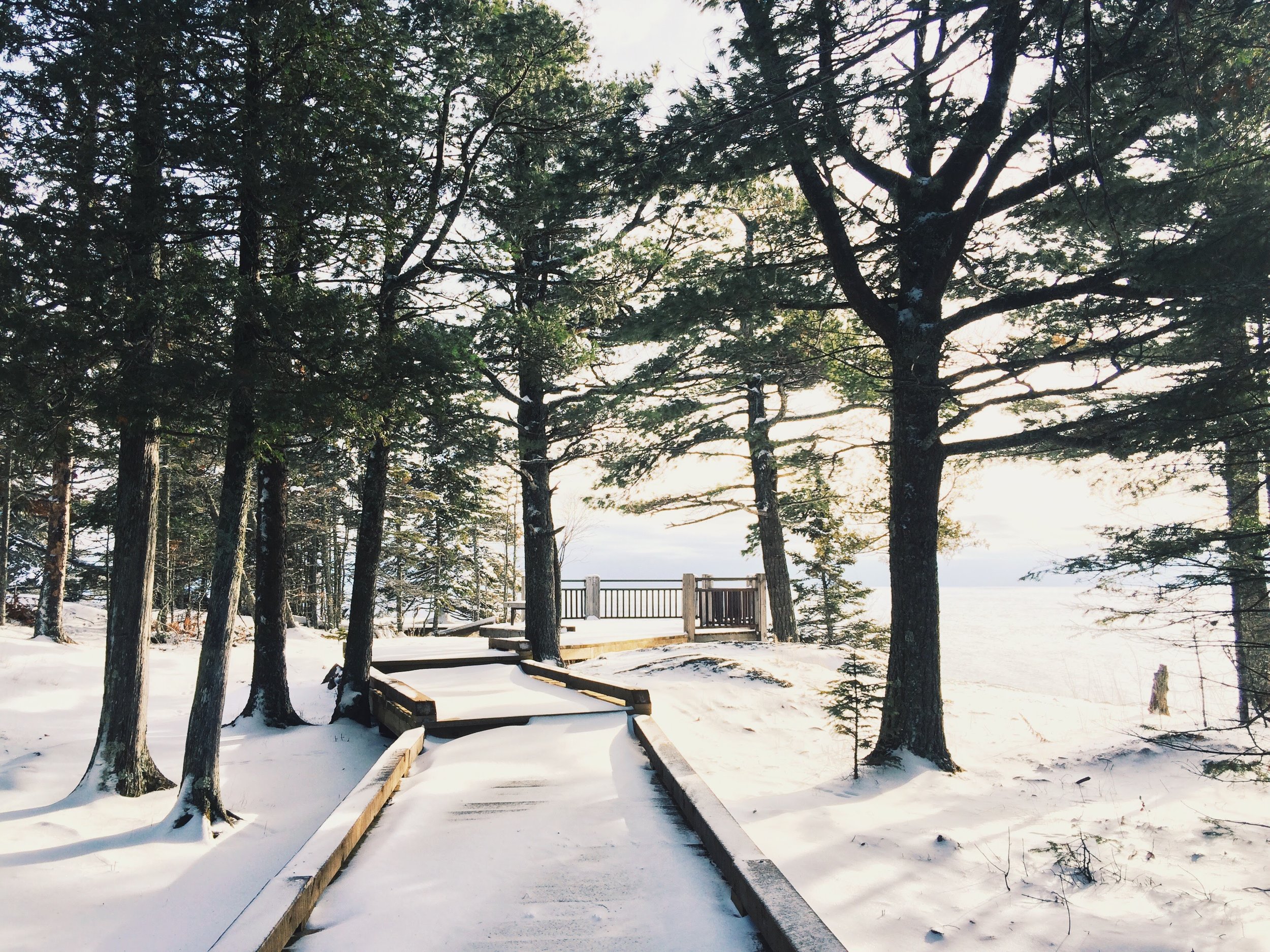
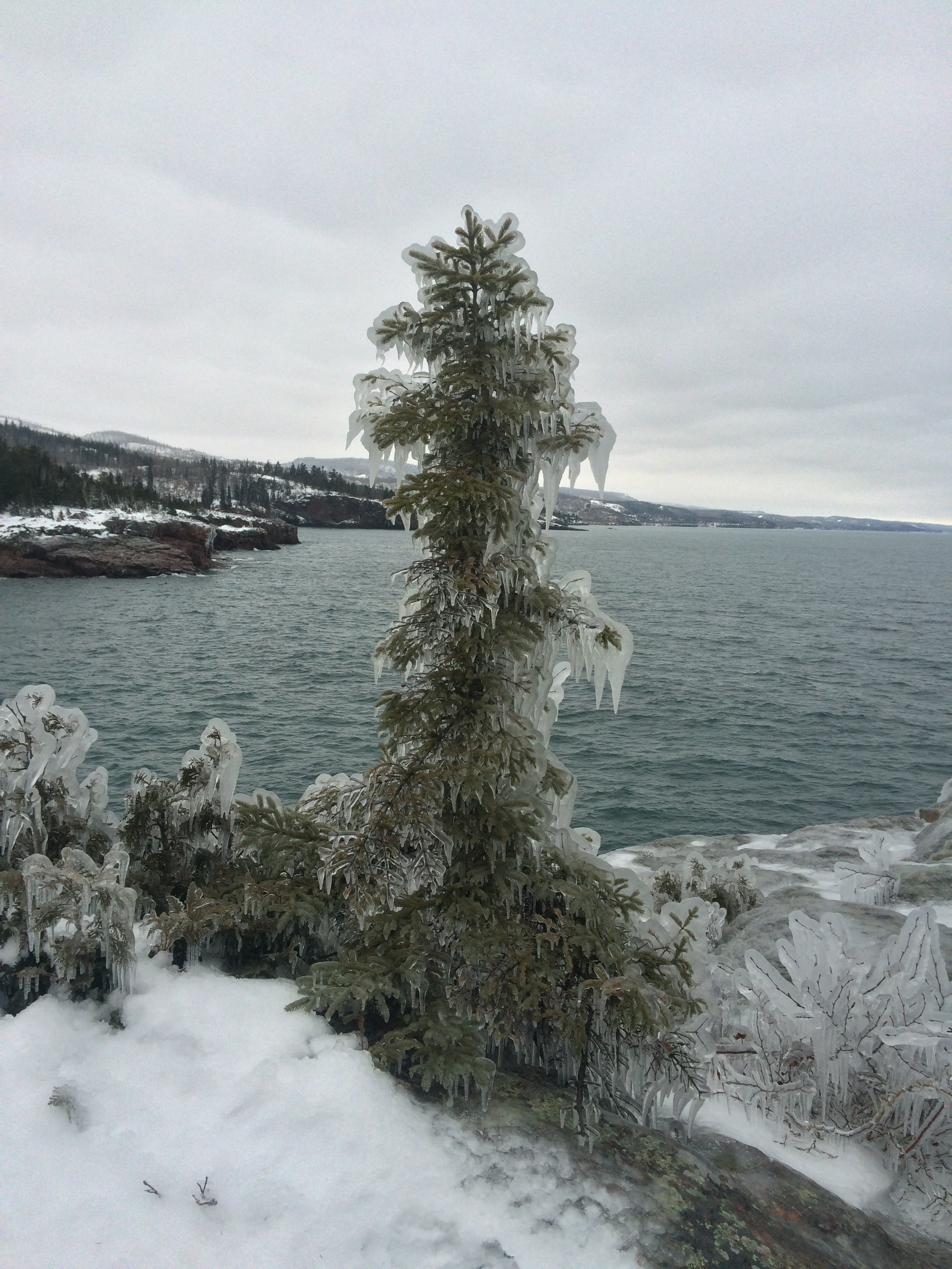
Begin your 2-mile hike behind the visitor's center following the signs for the Hiking Club trail or Shovel Point. The trail heads east along shore with several overlooks along the way. These cliffs are a favorite place for rock climbers and hook ups are built into the rock for your convenience. The trail ends at a point jutting out into the water with great views of the lake and the surrounding terrain. Shovel Point is unsheltered and can be windy! If it is cool weather, be prepared for windchill and if it is winter, be careful of the thick ice that coats everything along the shore. Loop back through the woods. 

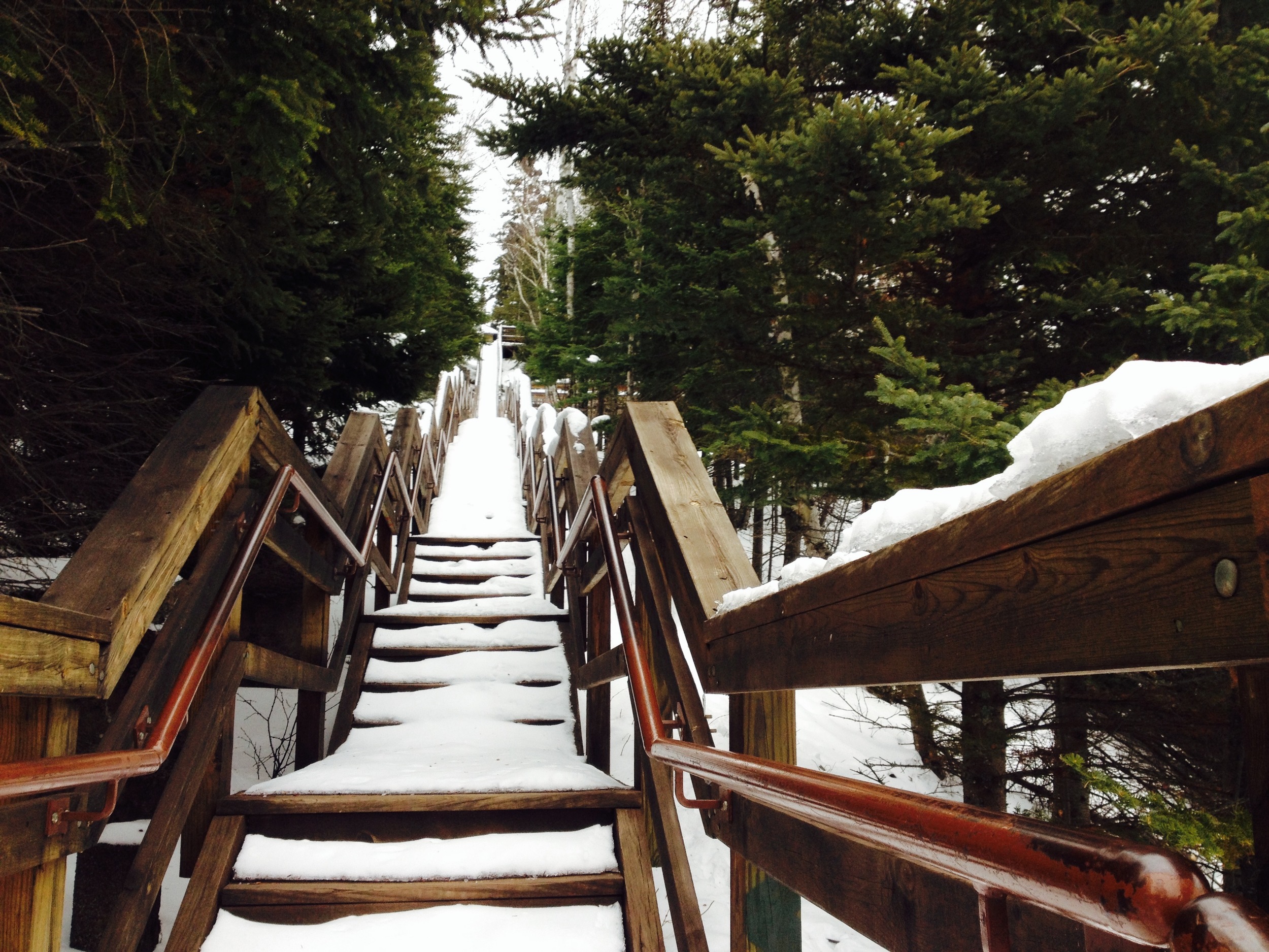
The Steps to Shovel Point in Winter, the end of the Hiking Club Trail at Tettegouche

The Drive

Tettegouche is along Hwy 61 on the North Shore of Lake Superior. This beautiful scenic byway has been expounded upon in other posts on this site (just search "Hwy 61"), so I won't go into it here, but I do want to mention one stop every road tripper must visit on the way to Tettegouche. Just before reaching the park, there is a turn off to Palisade Head. These cliffs are significantly higher than those at Tettegouche and provide breathtaking views of the shore. It is also a great place for rock climbing, but don't get to close to the edge if you're not harnessed in. It's a long fall! 

Honeymoon Rock at Tettegouche State Park with Palisade head visible in the distance. 
Split Rock Lighthouse State Park

Highlights

-Historic Lighthouse

-Ellison Island

-Corundum Point

-Lakeside Campsites

Ellison Island 

The Park

On November 28, 1905, a violent storm hit Split Rock Point on the North Shore of Lake Superior. While large storms aren't unusual at Split Rock, this particular storm resulted in the destruction of twenty-nine ships on the lake in a single day, prompting the construction of Split Rock Lighthouse. Dubbed at one point "the most dangerous piece of water in the world," the waves crashing against the cliffs can sometimes soak the lighthouse windows nearly two-hundred feet above the surface of Superior.

I suggest visiting during a calmer, summer day when the lake is still and the distant Wisconsin shore is just visible. Make sure you check out the lighthouse area itself, which is directly adjacent to the parking lot, or even opt to take a tour of the interior. A side hike down to the rocky shore next to the lighthouse will reveal the remains of a 19th century Norwegian fishing village, where you can follow in these early settlers' footsteps by angling for the park's lake trout or Pacific salmon, yourself.

View of Split Rock Lighthouse

The park has some of the best drive-in campgrounds on Lake Superior, but if you're feeling particularly adventurous, rent a kayak from Sawtooth Outfitters in Tofte and head to one of the park's remote kayak sites only accessible by water.

Finish your trip at the nearby Northern Lights Cafe for a drink and some local fare.

View from Corundum Point 

The Hike

The best way to see the park is to take the 5.8 mile roundtrip Hiking Club Trail to Corundum Point. Begin at the lighthouse parking lot and head west following the "Trail to the Lake." You'll pass a series of lakefront picnic grounds before entering the denser forest around the point. The trail will split, but stay to the left along the shore for the most interesting views. Take a short spur trail up to Day Hill, where you'll see the ruins of a failed settlement, and then continue on to Corundum Point for amazing views of the lake and surrounding shoreline. The Hiking Club Trail signs will want you to return via a paved bike path, but ignore them and return along the lake because it’s a much more beautiful hike. 

Gooseberry Falls State Park

Highlights:

-Close to Duluth

-Waterfall

-Basalt Flow Picnic Ground

-Lake Superior Cliffs

Micro-Bouquet at Lake Superior 

The Drive

There are two routes from Duluth to Gooseberry Falls. The Hwy 61 Expressway to Two Harbors for those in a hurry and the North Shore Scenic Byway. I shouldn’t even have to say this, but take the scenic byway. If you do, make sure to stop at Stoney Point. Lake Superior’s premier winter surfing spot, Stoney Point is a great first look at Lake Superior. Clamber on the rocks and see if you can find the abandoned fishing houses along the shore. If you’re hungry, Betty’s Pies is another pit stop worth making on the way.

The Falls Themselves 

The Park

With its iconic waterfall, Gooseberry Falls is one of the state’s most popular parks. While the waterfall area is definitely worth exploring, the 1,600-acre park has much more to offer. Several trails leading from the waterfall – two down to the lake and another up to another set of falls higher on the rivers – will open up areas of the park that are free of crowds, but just as spectacular. And don’t miss out on the picnic grounds. The grounds are located on an ancient basalt lava flow that ends in a series of cliffs along the lake and is my favorite part of the park.

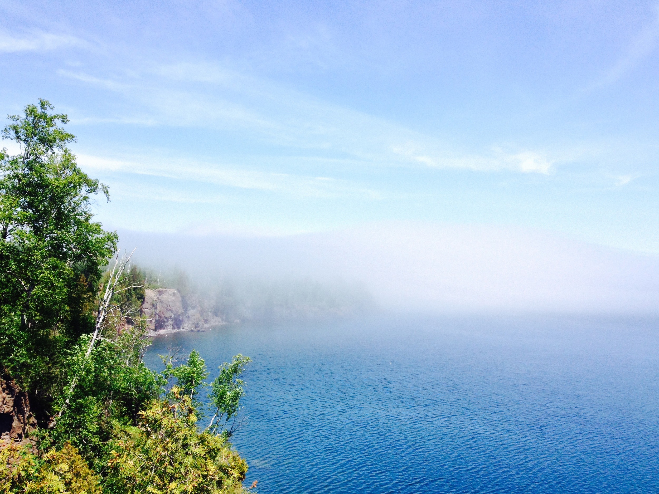
Foggy Day at the Picnic Grounds 

The Trail

The hiking club trail begins on the east side of the falls and follows the windy river to the shore. Unlike the trail’s twin on the other side of the river that leads to a rocky beach, the hiking club trail terminates on a high cliff overlooking the Gooseberry River’s mouth. You’ll begin by climbing through an open birch forest with great views of the valley.  After hitting Lake Superior, the trail follows the shoreline for a while before looping back through the mixed cedar/aspen forest. This is a great hike for the fall when the aspen turn gold and the lake is stormier.

Arbitrary Rating: 5/5​ 

Grand Portage State Park

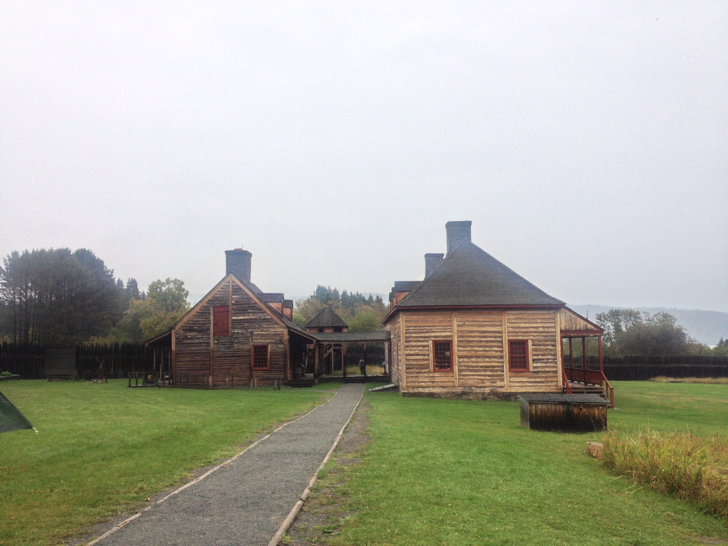
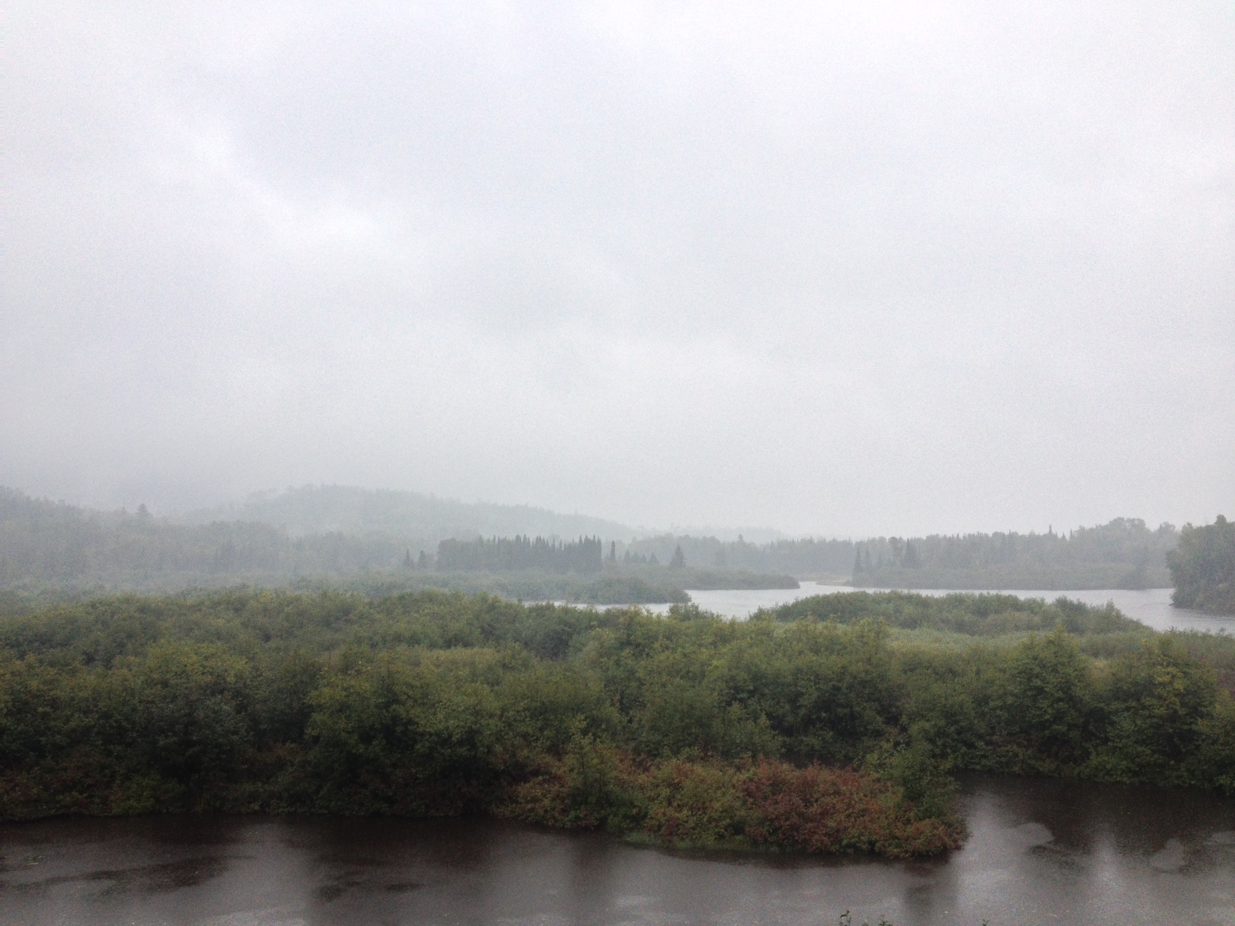
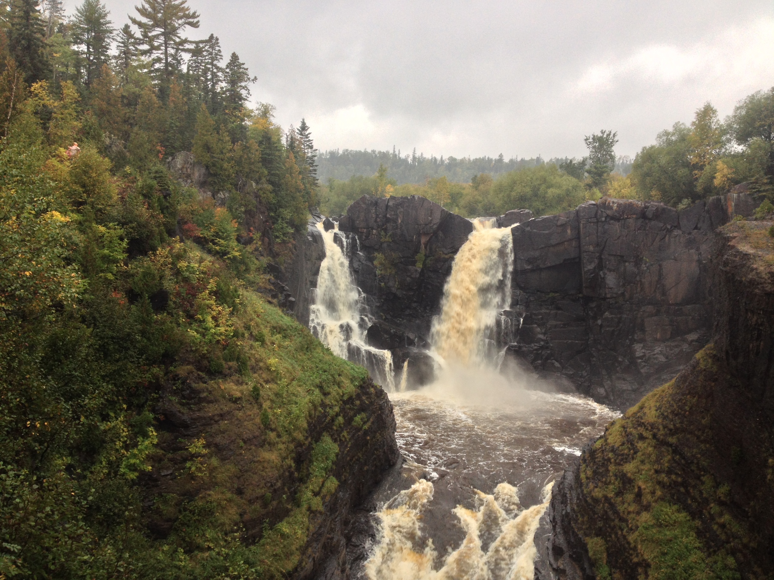
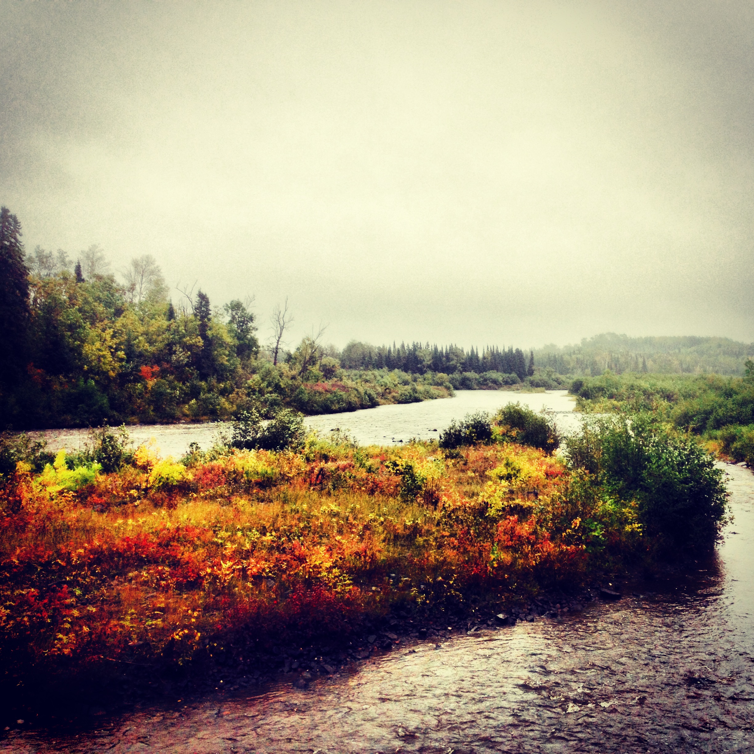
The wilderness of Grand Portage State Park. That's Canada over there! 

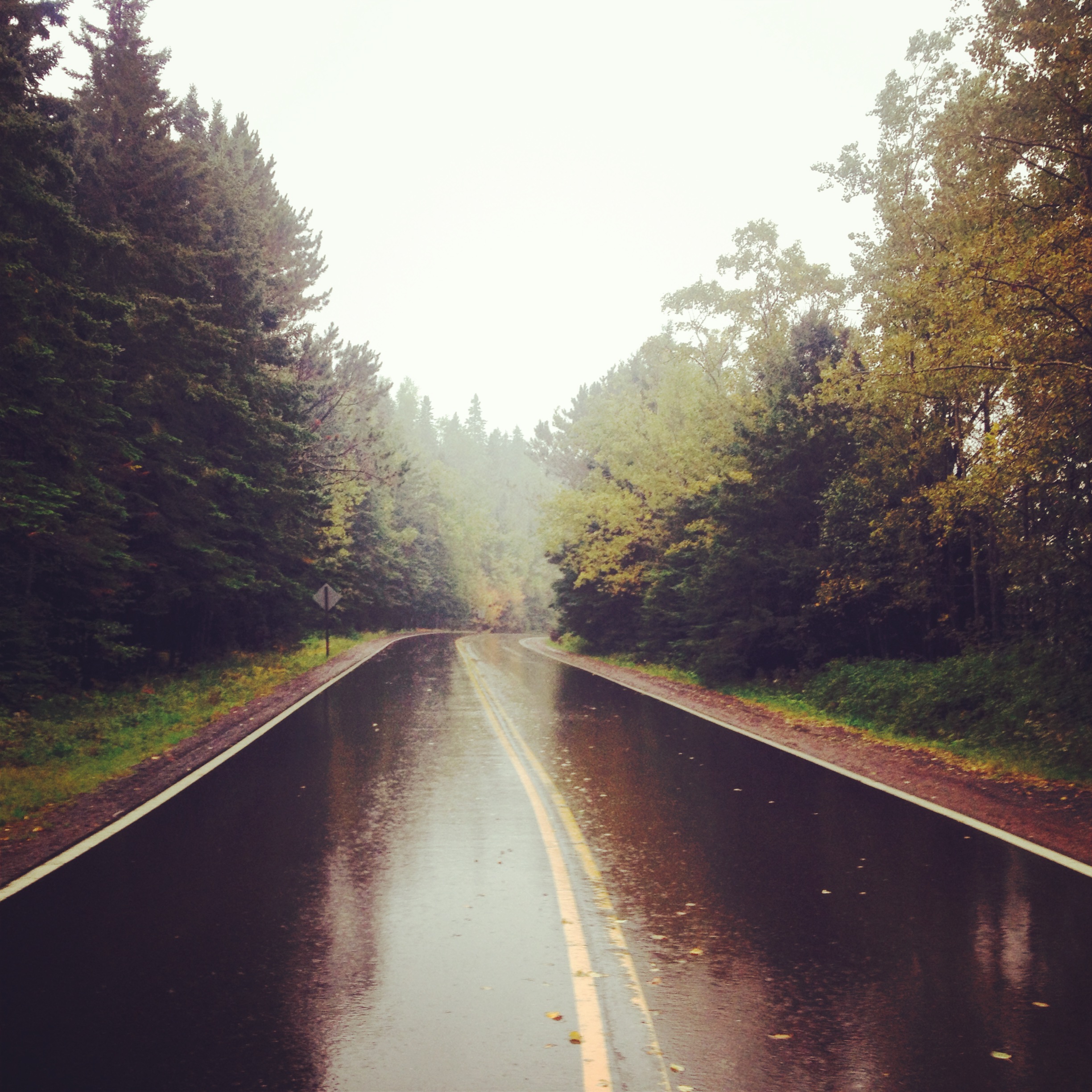
The Drive: The drive to Grand Portage took us the rest of the way to the Canadian Border, thus completing the North Shore Drive. It is also probably the most scenic section of the byway. The road cuts through the main section of the Sawtooth Mountains, Superior National Forest, and the virtually uninhabited stretch between Grand Marais and the Grand Portage Reservation. The cultural highlight of this drive is Grand Marais, the largest town between Two Harbors and Thunder Bay, ON. Situated at the head of the Gunflint Trail, Grand Marais is the hub of Arrowhead outdoor sports, art, and tourism. Originally a fishing town, Grand Marais is still the best place to get lake trout and no stop is complete without a visit to the famous (but not very good) pizza joint Sven & Ole's. Spend an hour of so exploring the community before heading up to Grand Portage.

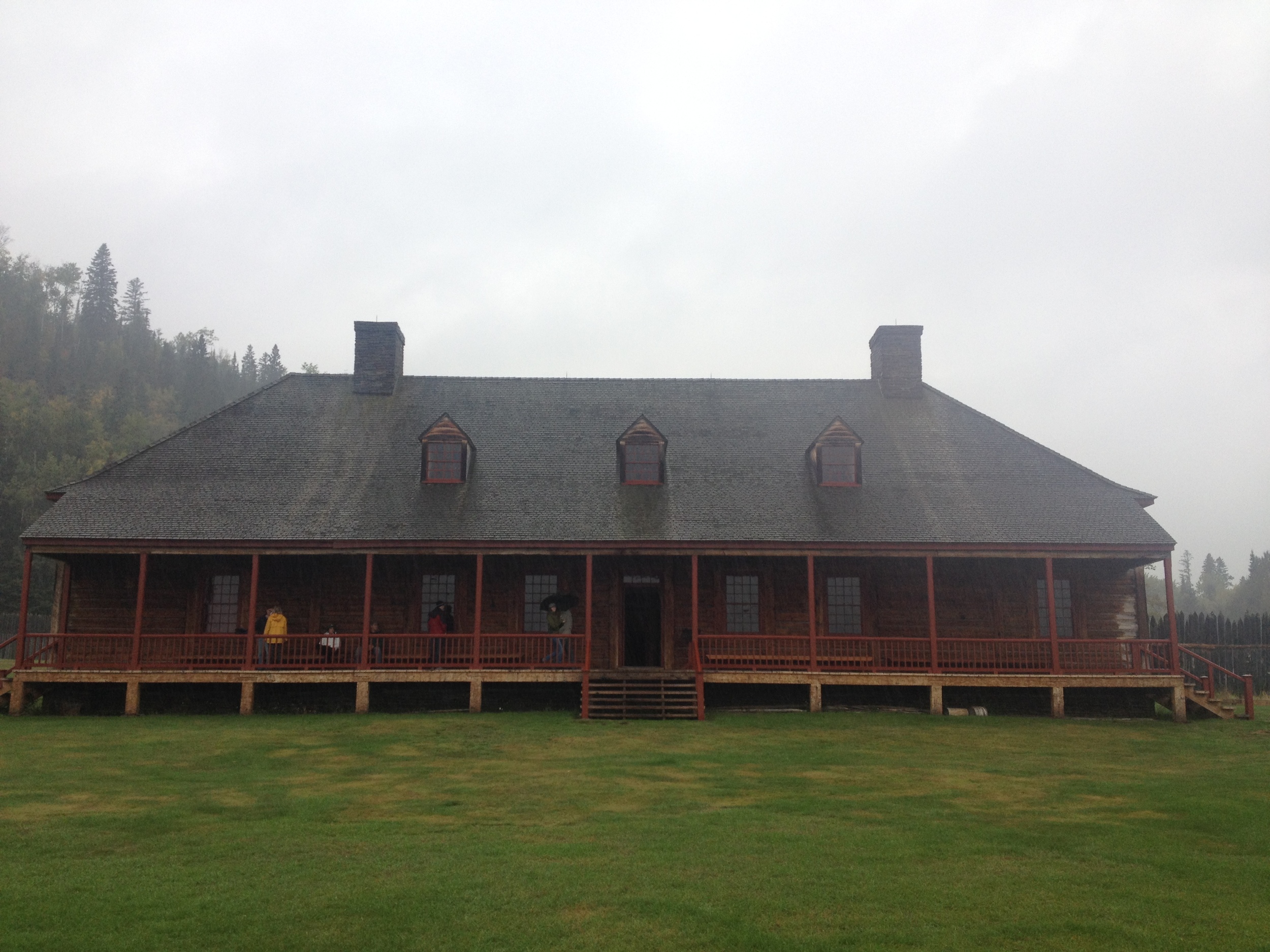
The reconstructed trading post at Grand Portage National Monument. 

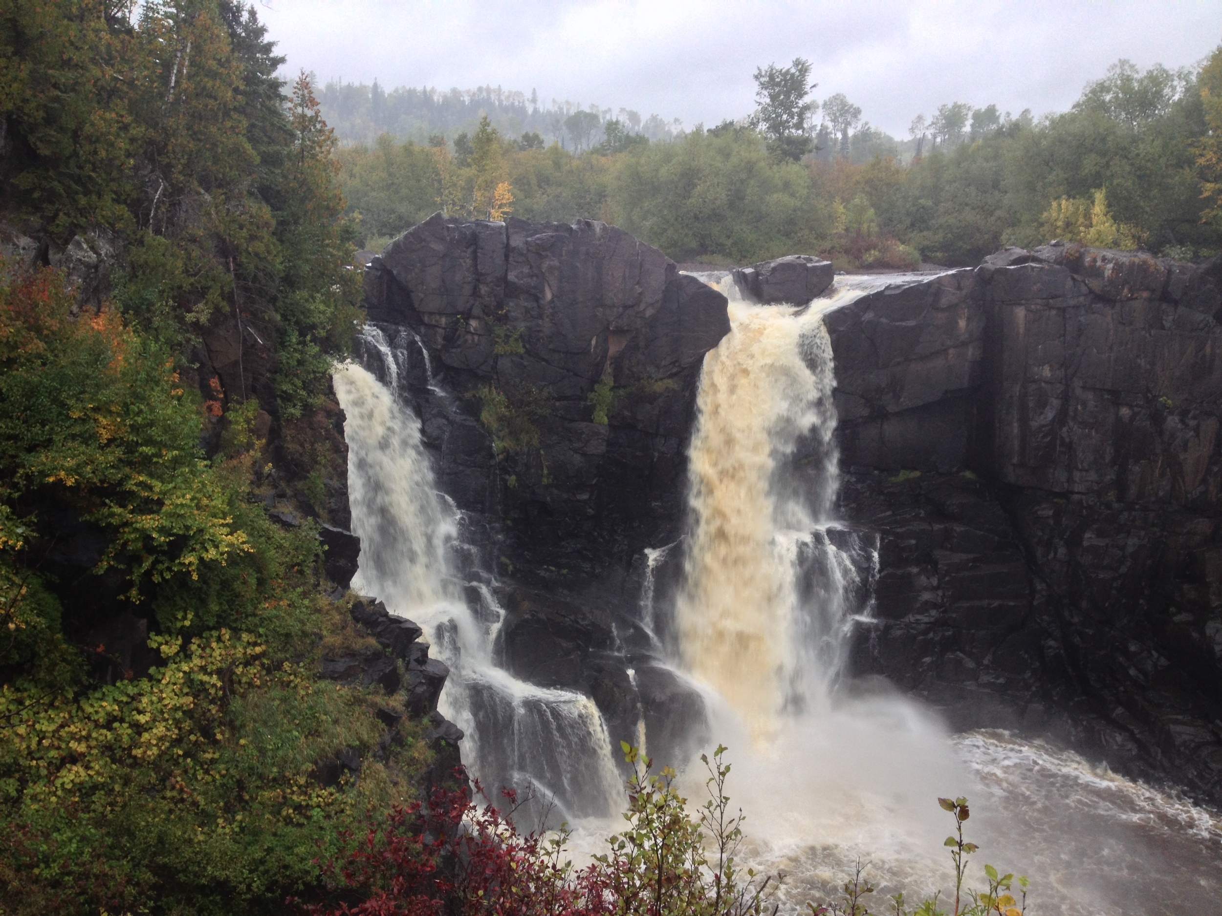
The Park: Grand Portage State Park is the only park in Minnesota not owned by the state of Minnesota. Because it is located within the Grand Portage Band of Lake Superior Chippewa reservation, the state leases the land from the tribe. The park is less than 300 acres and the highlight of the park itself is High Falls, the highest waterfall in Minnesota. However, the highlight of a visit to Grand Portage is the Grand Portage National Monument located across the highway from the park. The site of an 18th and 19th century fur trading hub, the old rendezvous site has been rebuilt and is interpreted by the National Park Service. NPS and the tribe also run a great museum on the site. A visit to the national monument will give you the context you need to fully appreciate the state park and the role it played in Minnesota History. The town is also the jumping off point for a trip to Isle Royale National Park.
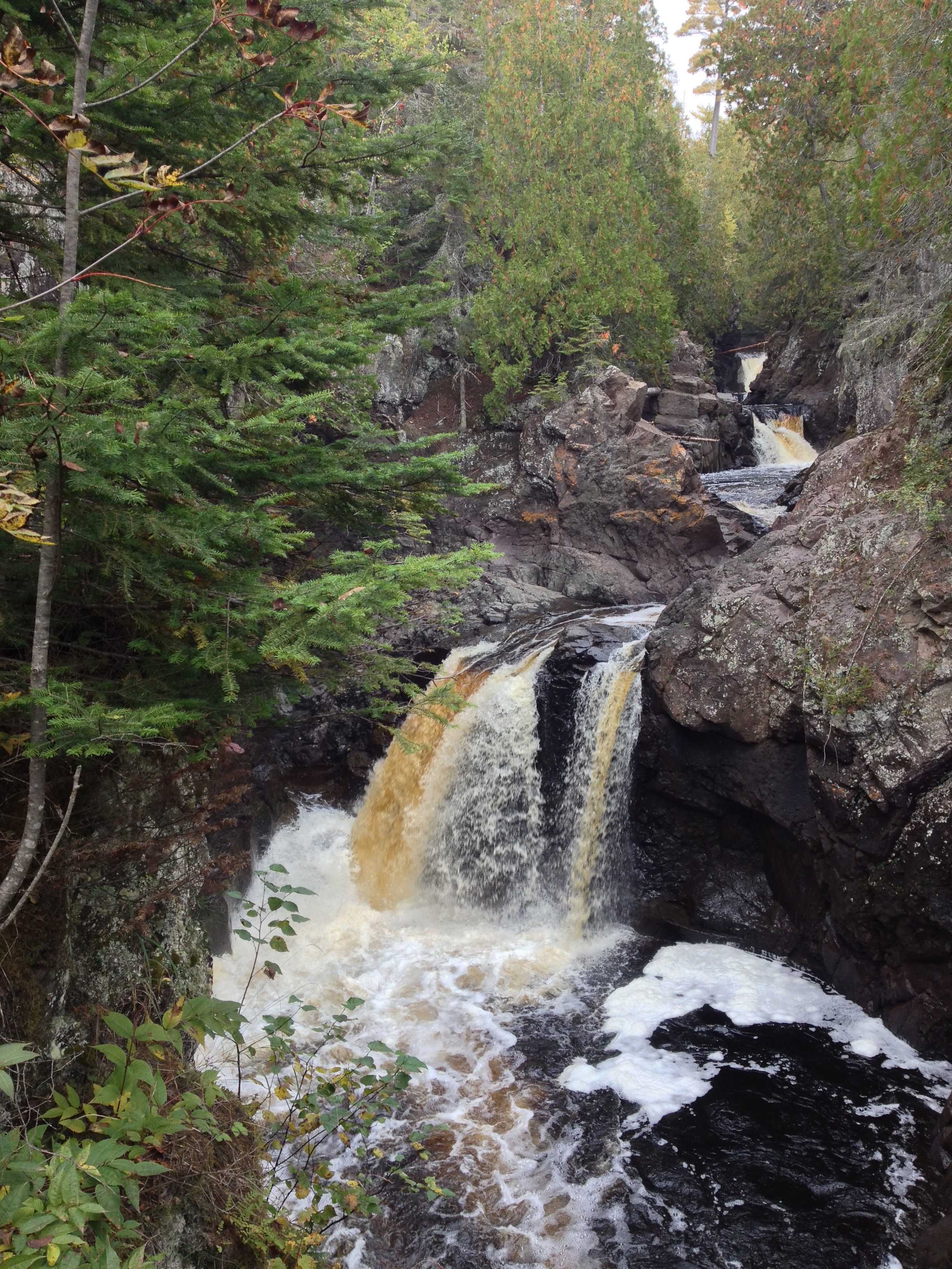
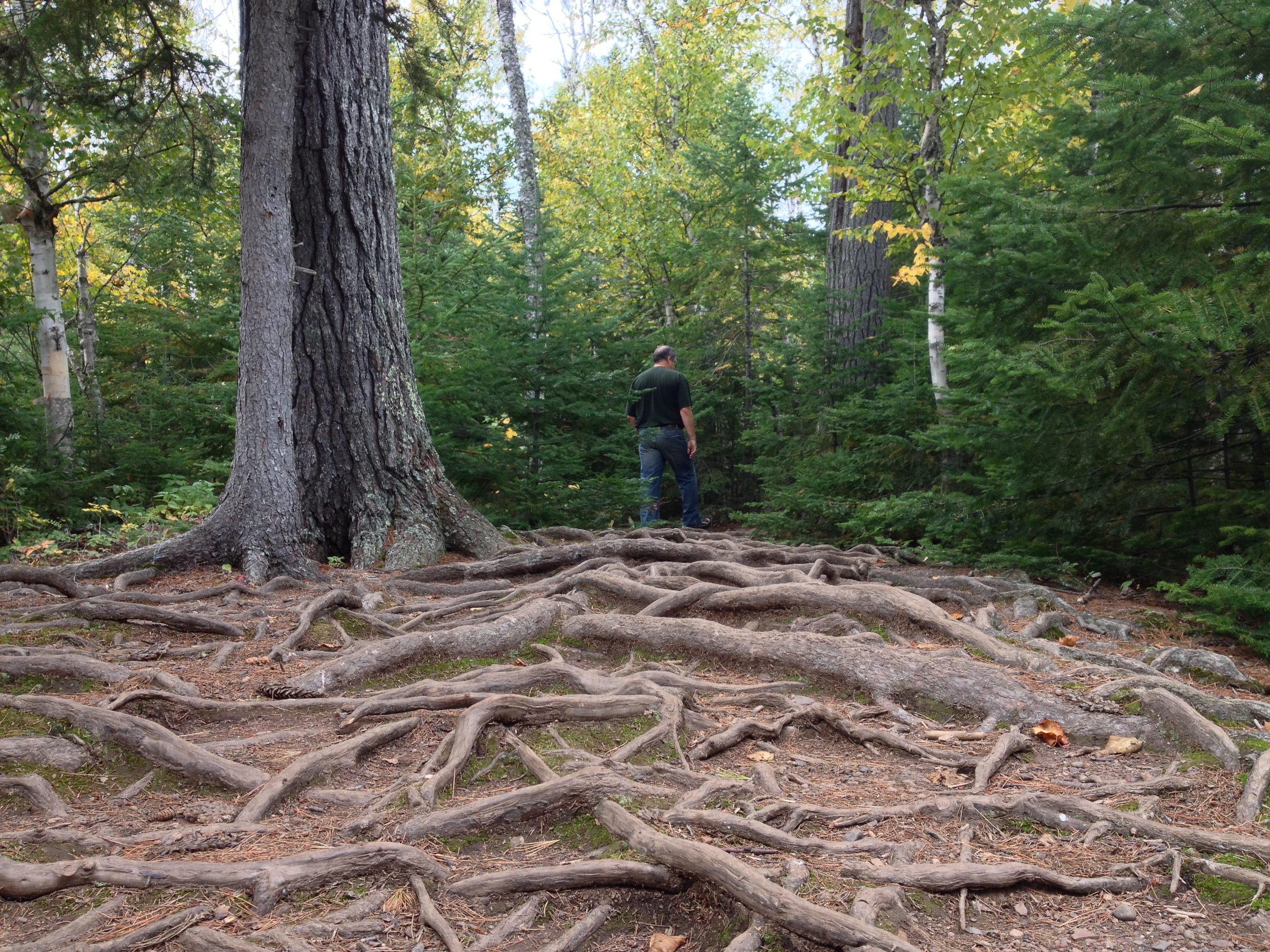
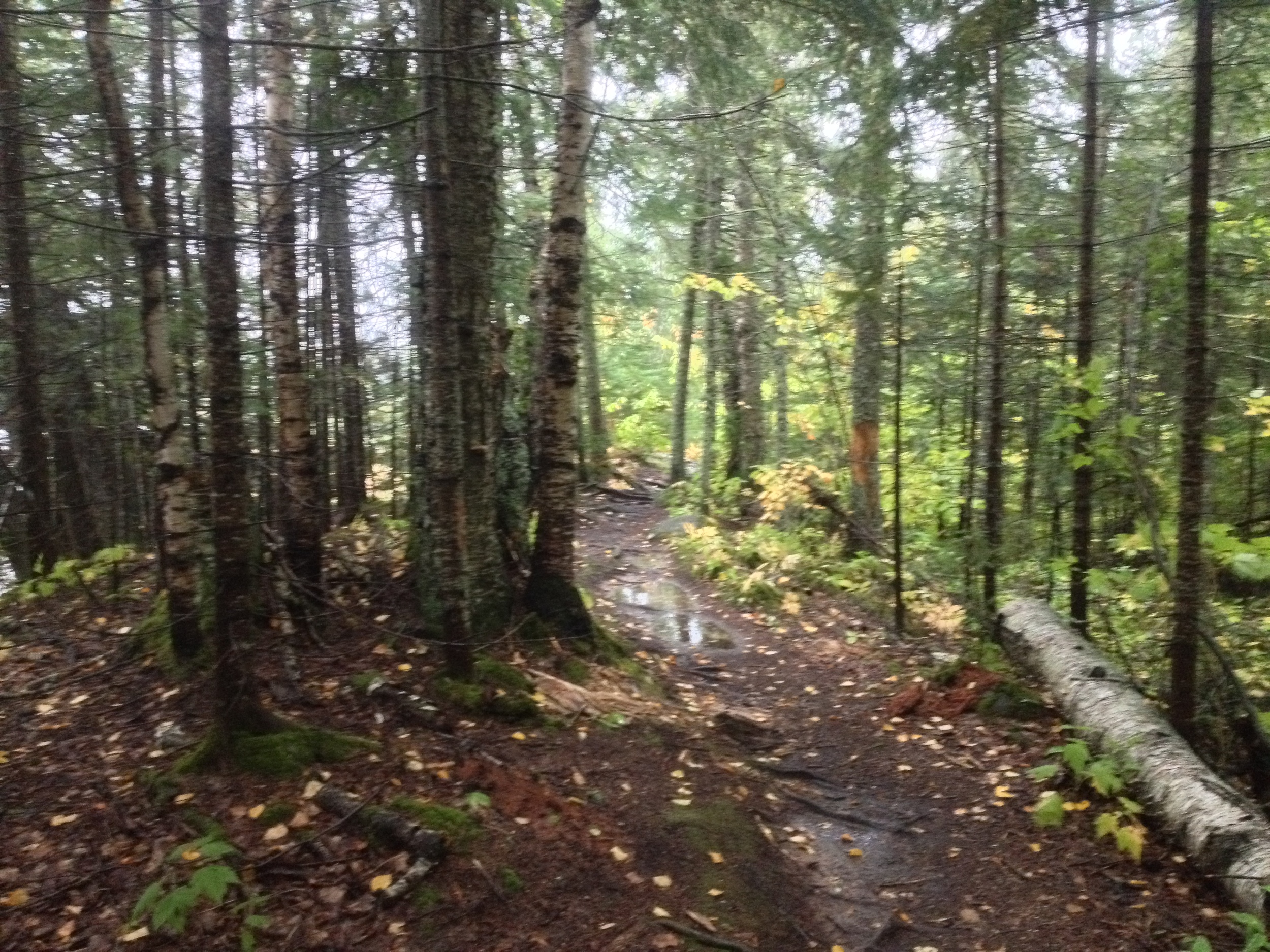
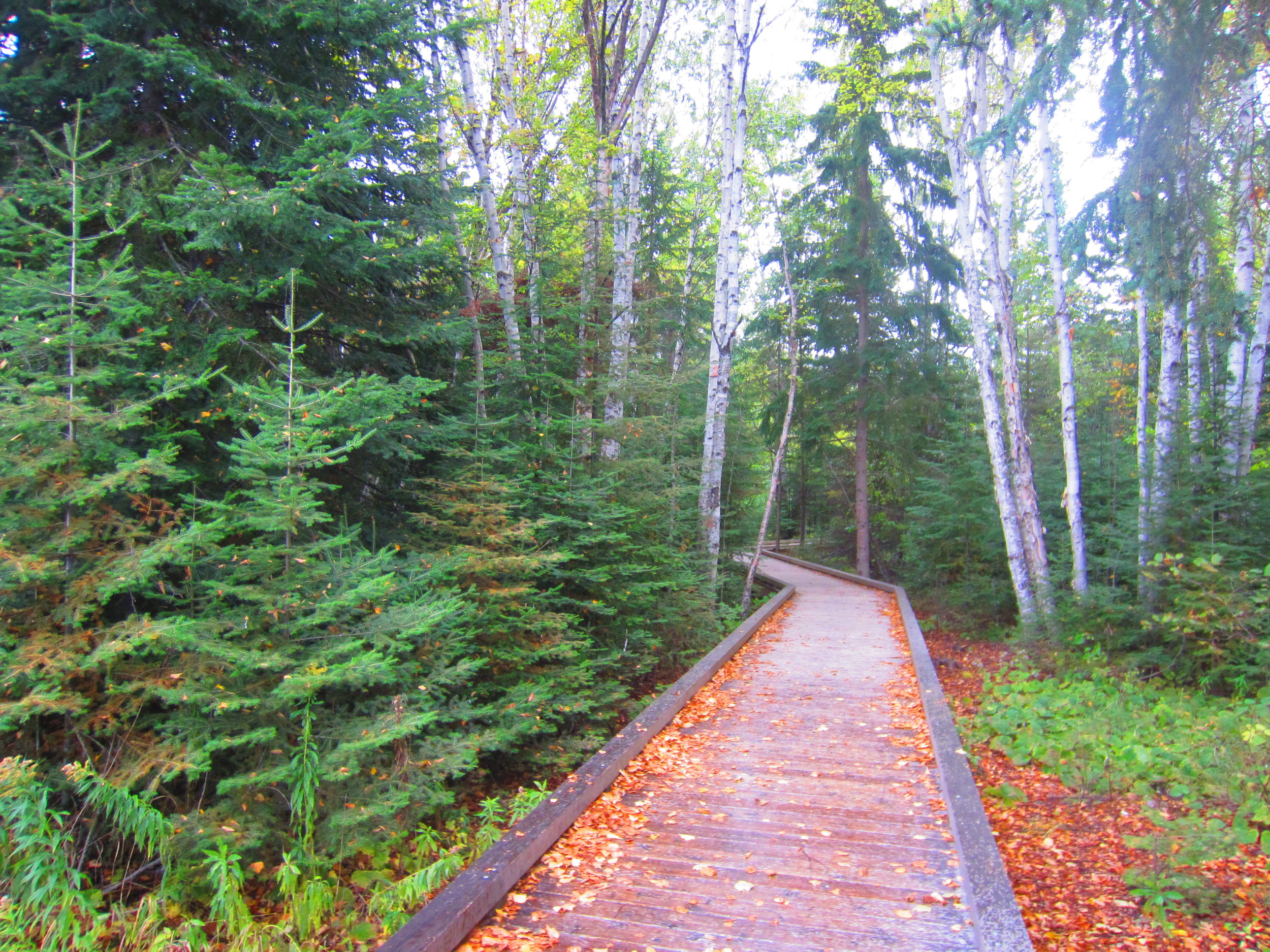
The Grand Portage State Park Hiking Club Trail is the only handicapped accessible club trail in the system. Worth making the trip even in the rain. 

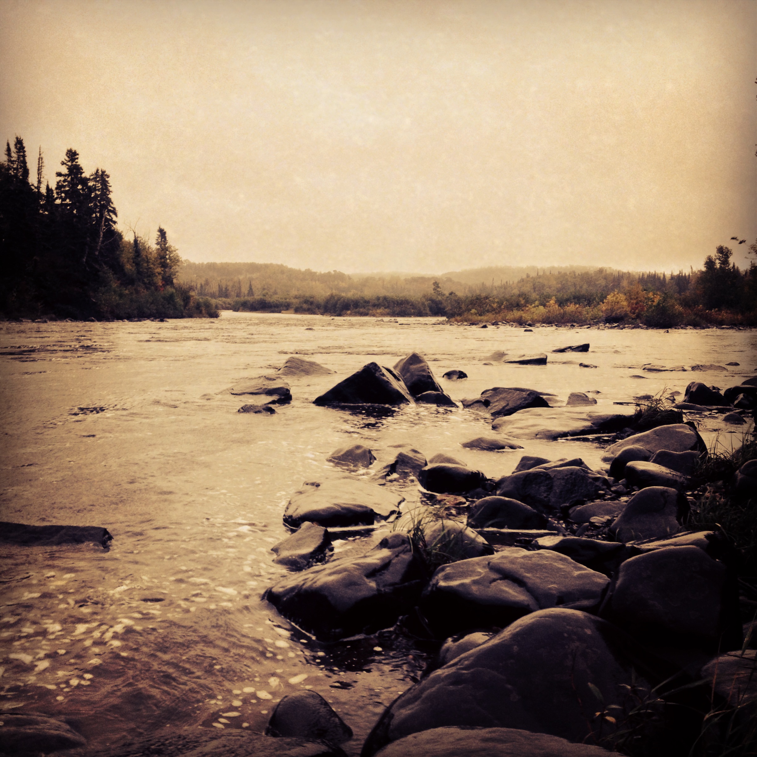
The Hike: At just one mile, the Grand Portage hike is the shortest of all the Minnesota Hiking Club trails. It is also the only entirely handicapped accessible trail, so if you find yourself in the park, there is absolutely no excuse for you not to take the 1/2 mile trek from the parking lot to watch the Pigeon River cascading over the 120 foot High Falls. Even taking your time, you probably won't spend more than an hour in this park, which is good because there is no camping and unless you want to stay at the casino, you still have to drive a couple hours back to your lodging further south (or bring a passport and stay in Ontario's Pigeon River Provincial Park across the border).

Cumulative Miles Hiked: 48

Cumulative Miles Driven: 1918

Arbitrary Rating: 4/5

Biome: Laurentian Mixed Forest

Cascade River State Park

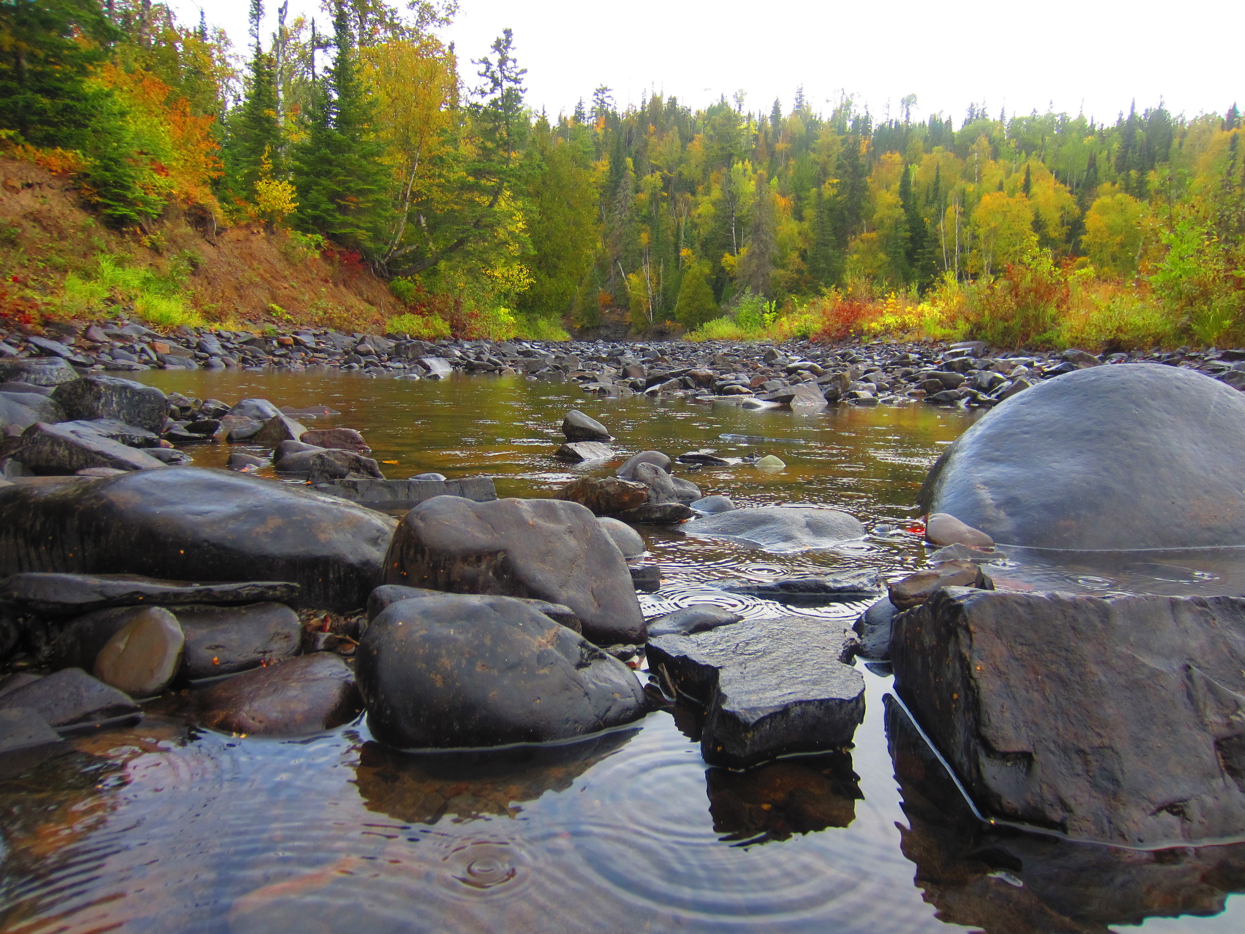
The cascades of Cascade State Park 

The Drive: Located at the crux of three continental biomes, Minnesota is among the most naturally diverse states in the country. You can find everything from dense pine forest to treeless prairies to rich river valleys, but one thing the North Star State is not known for are its mountains. The road from Temperance River to Cascade River enters into Minnesota's only mountain range, a series of rises that could barely be considered hills next to true mountains. They may be small, but the Sawtooth Mountains, so named for the distinctive pattern of their peaks, provide some welcome elevation to an otherwise fairly flat state. They also provide some of the best hiking, camping, and waterfalls in the region, as any hiker on the Superior Hiking Trail can attest to. Although you can see the mountains from the North Shore Drive, a quick trip inland to see some of the backcountry is definitely worth the drive.

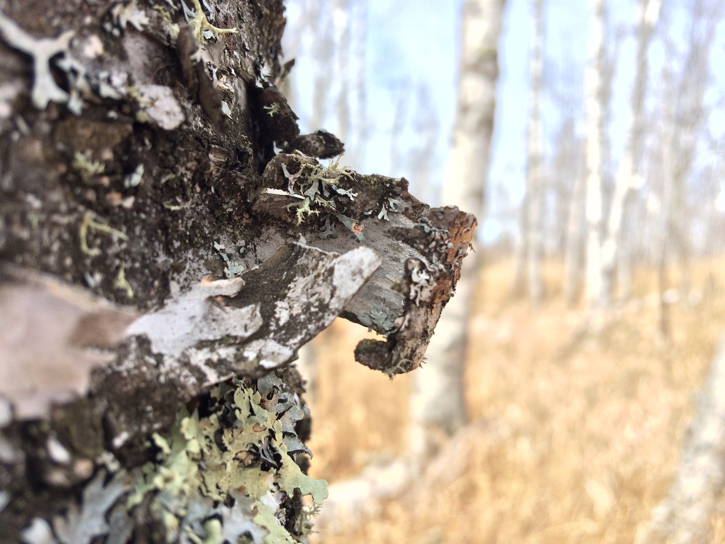
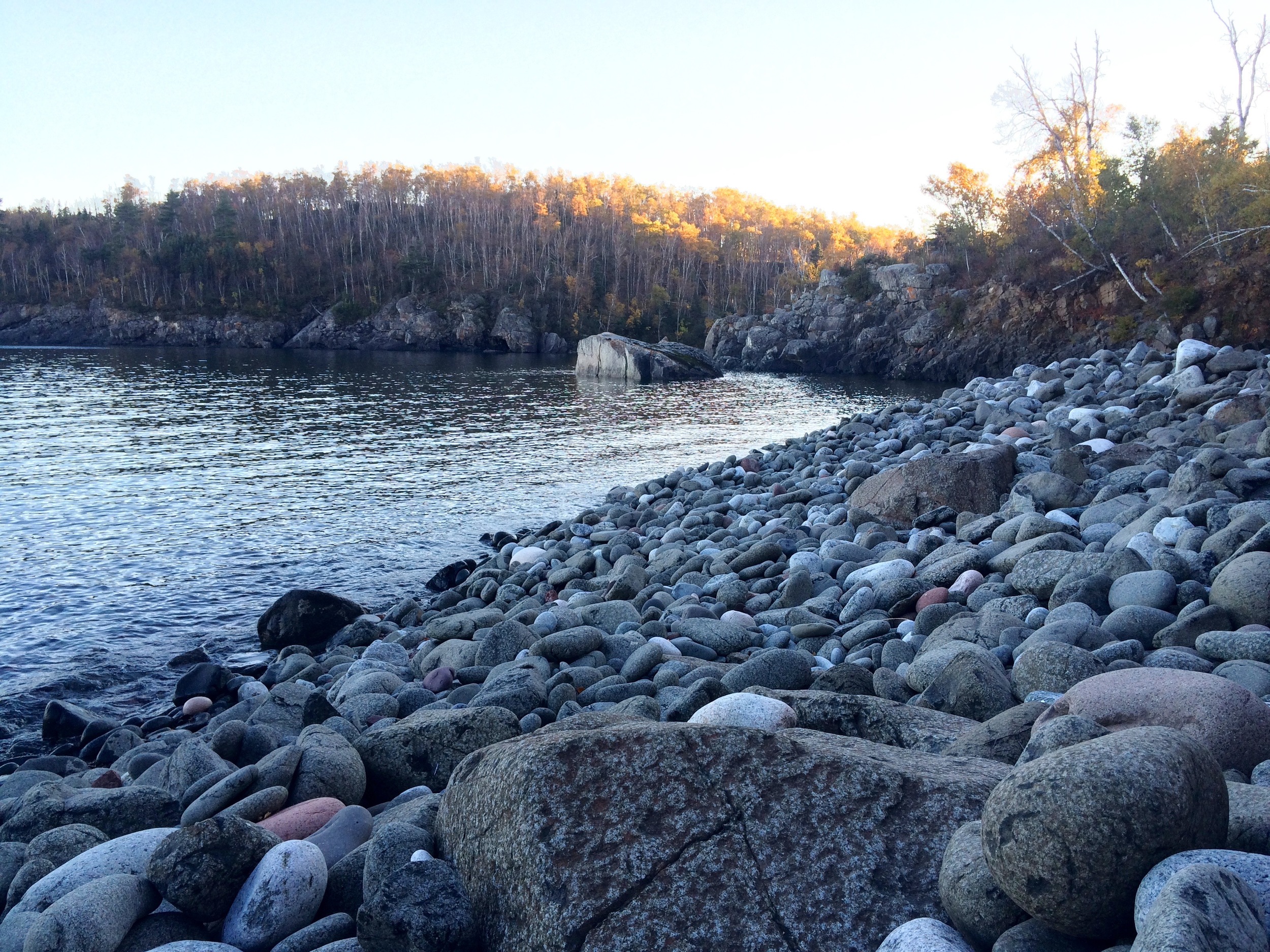
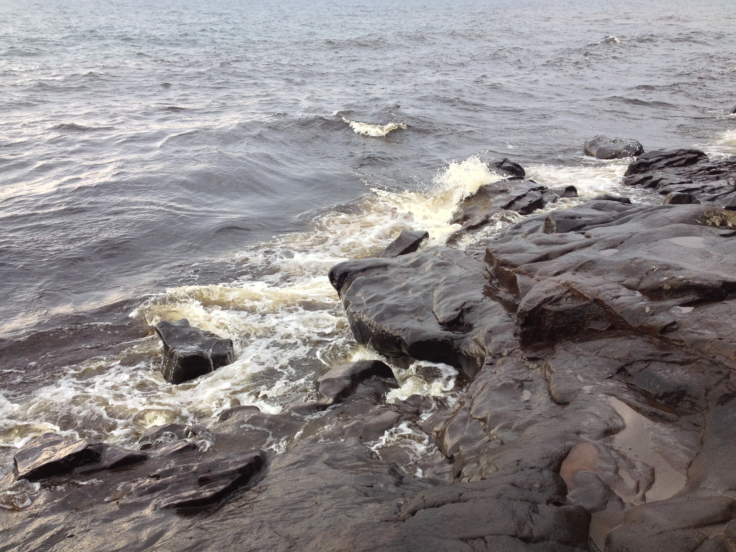
The lichen encrusted Lake Superior shore outside of Cascade State Park. 

The Park: Halfway between Schroeder and Grand Marais, Cascade is usually little more than a pit stop on a longer trip. Since the main cascades are just a quarter mile from the highway, there is usually little incentive to further explore the 5300 acre park. However, those who take the time to wander around are rewarded by one of the most beautiful parks on the North Shore, if not the entire state. The park encompasses two rivers, a large stretch of the Superior Hiking Trail, Lookout Mountain, and access to trails the penetrate deeper into the Sawtooth range. Cascade River and Cascade Creek are aptly named since both streams are made up of a series of falls descending nearly a thousand feet on their path to Lake Superior. The trails follow the rivers and meander around Lookout Mountains giving picturesque views of the water and surrounding forests. Like many parks in Minnesota, Cascade doesn't have some grand attraction, but provides a quiet beauty that takes time to appreciate. Take the time, it's worth it.

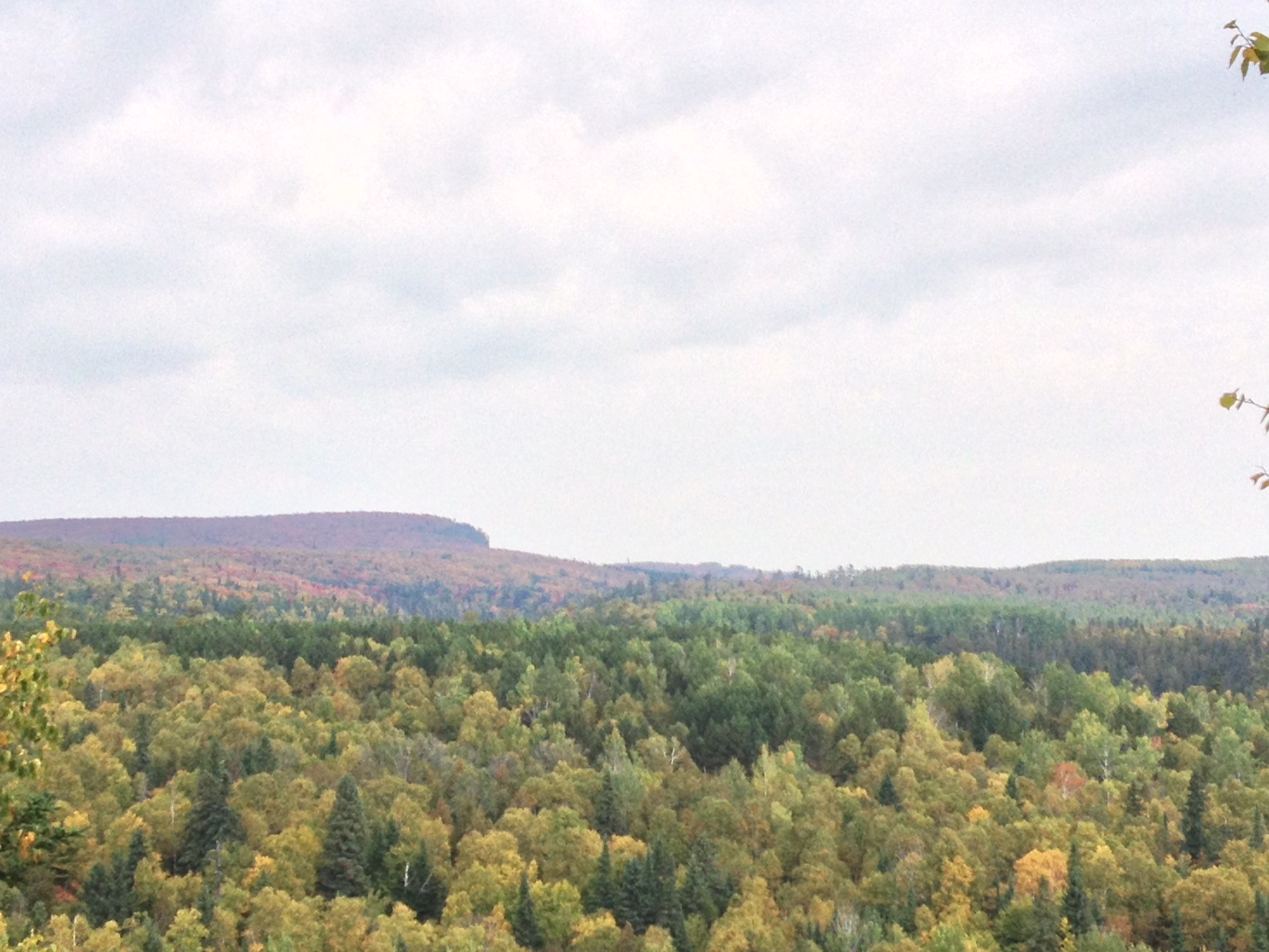
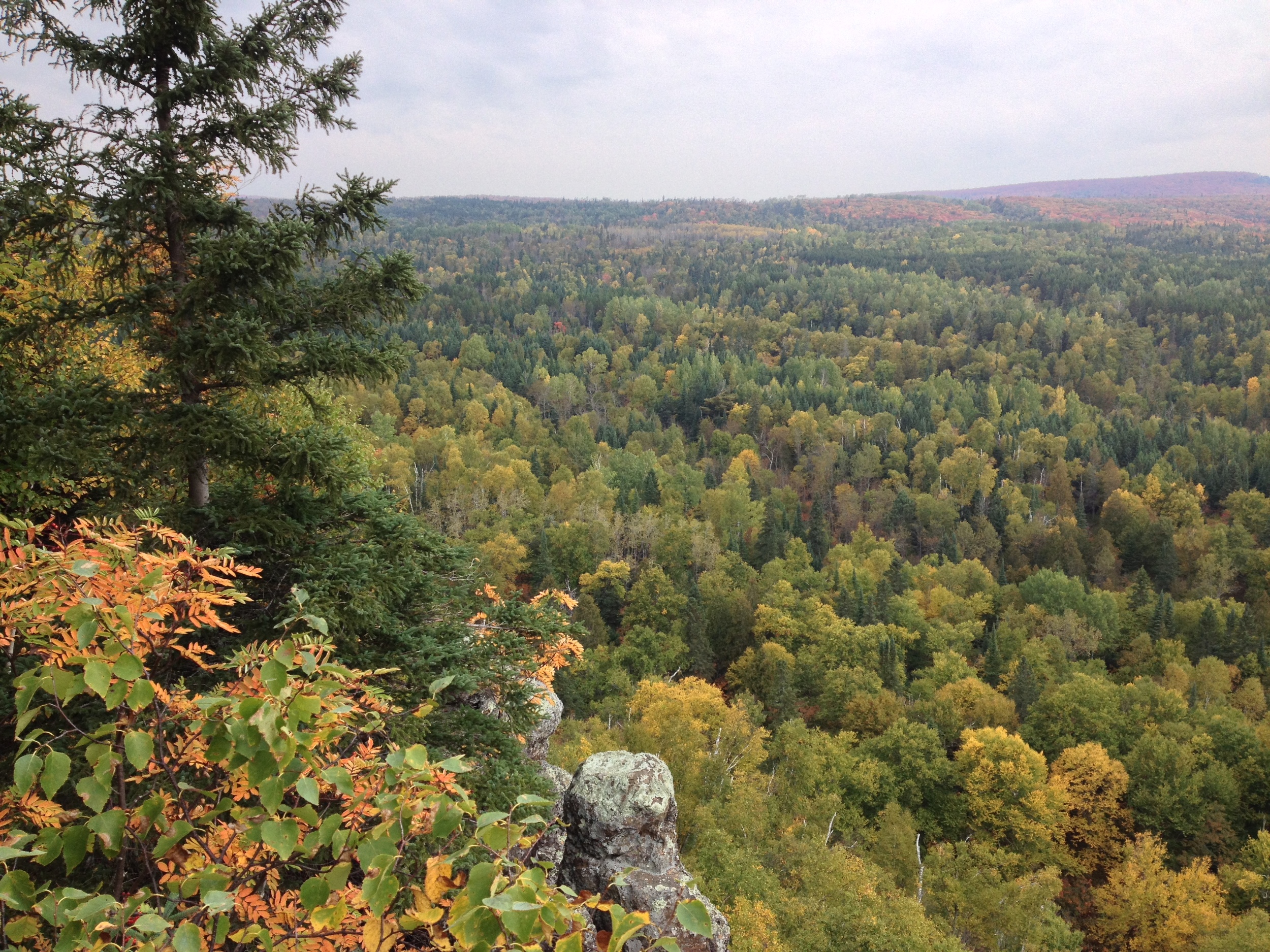
View from the overlook. Autumn colors just past their peak at Cascade River State Park 

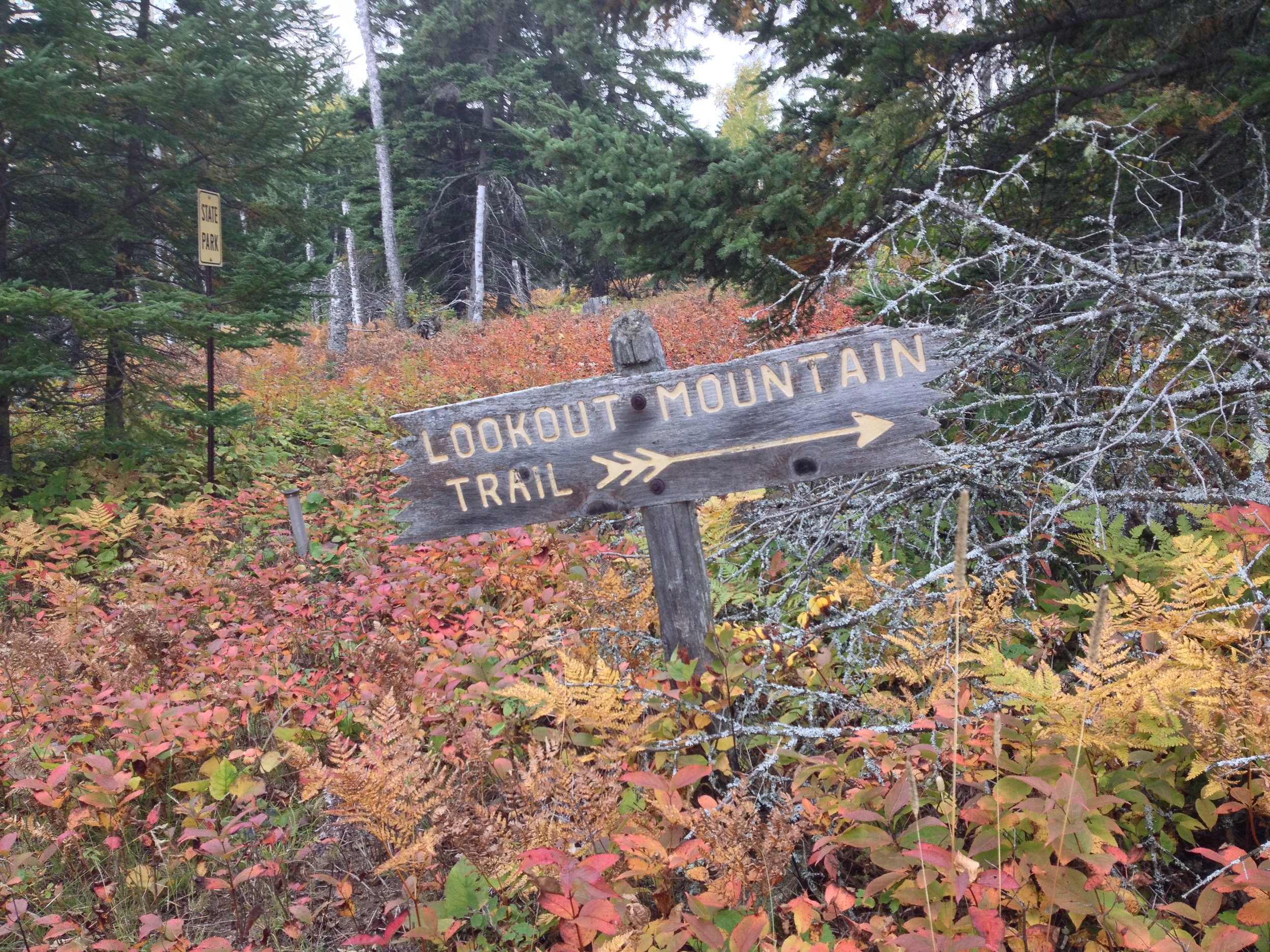
The Hike: The Hiking Club hike follows the Lookout Mountain Trail. Start at the main trailhead on Hwy 61 (there is a parking lot) and follow the trail to the main cascades. This is as far as the majority of people go. You, however, are going to snap a few pictures of the falls and continue on up the trail. You'll follow the river for another half mile or so before breaking off the main trail and heading up to the mountain. I was here in the autumn and the mixture of green cedars and yellow aspen and ferns made the entire hike feel a little like an REI advertisement, but the hike would be great all summer long and probably a little dangerous in the winter. The first half of this trail is well marked and leads you up to the peak (there is some backpacking campsites near the peak if you're interested), but the second half is less well marked and we ended up coming out at Cascade Lodge, a resort and restaurant, instead of the park. If this happens, don't worry. Just go get a drink at the restaurant and walk the quarter mile down the road back to your parking spot. If you do manage to follow the trial back, good job, but you missed out on some good Minnesota culture.

Cumulative Miles Hiked: 47

Cumulative Miles Driven: 1872

Arbitrary Rating: 4/5

Biome: Laurentian Mixed Forest