Hiking

Tettegouche State Park

Highlights: 

-Backcountry Hikes

-Waterfalls

-Stellar Lakeside Hikes

-Brand New Visitor Center 

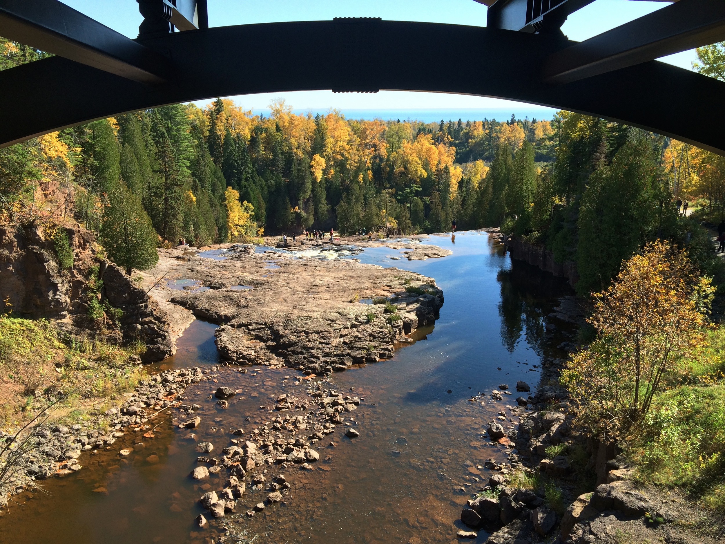
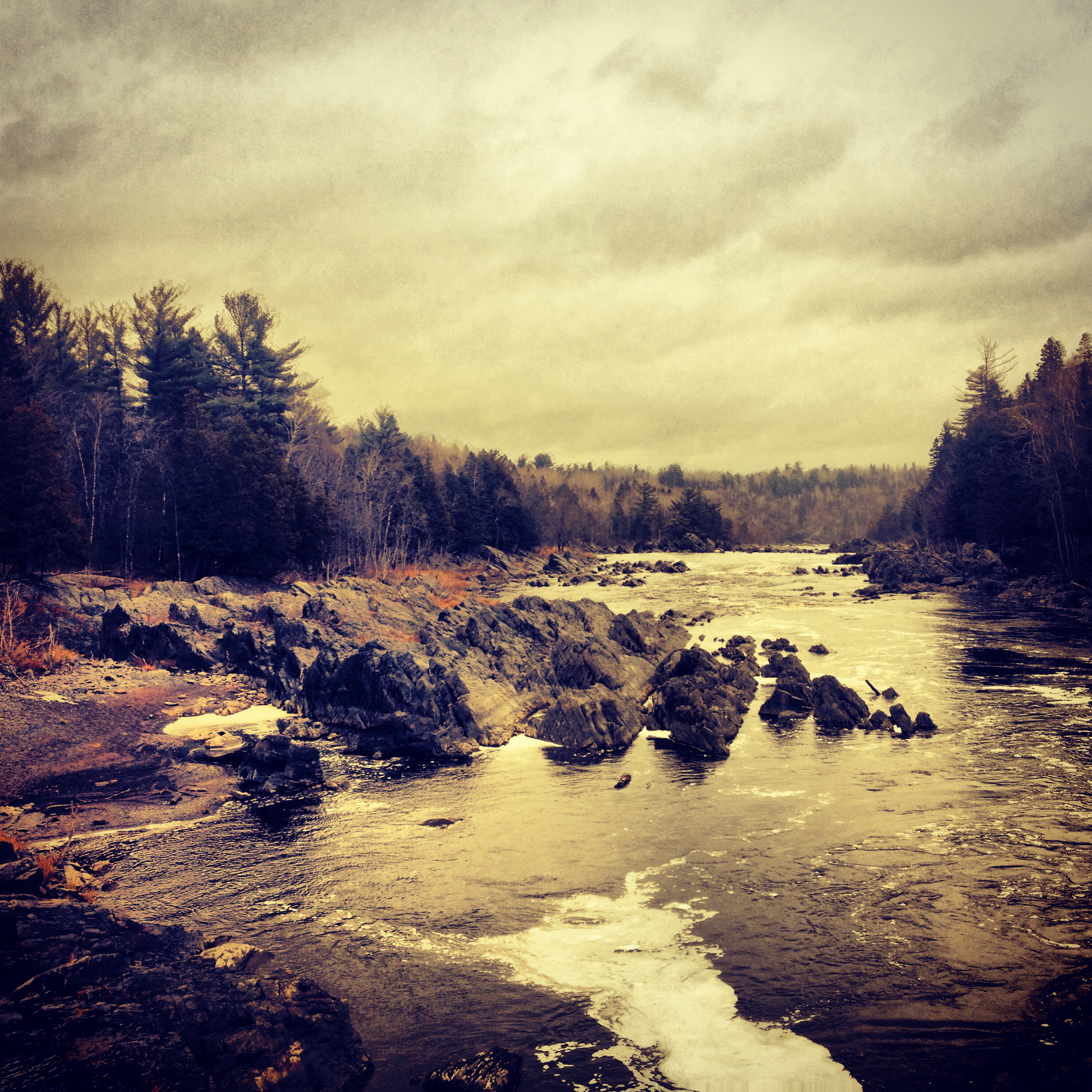
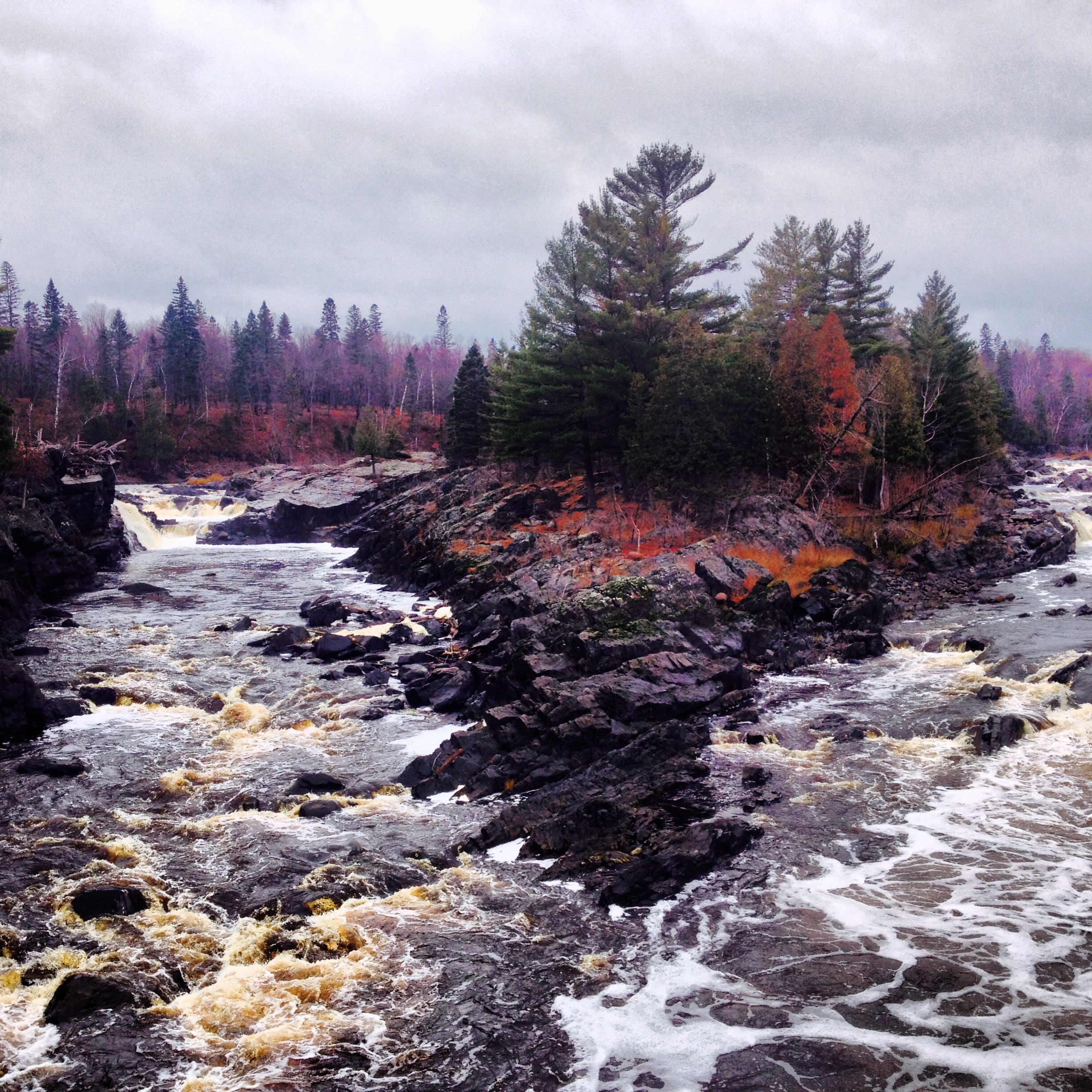
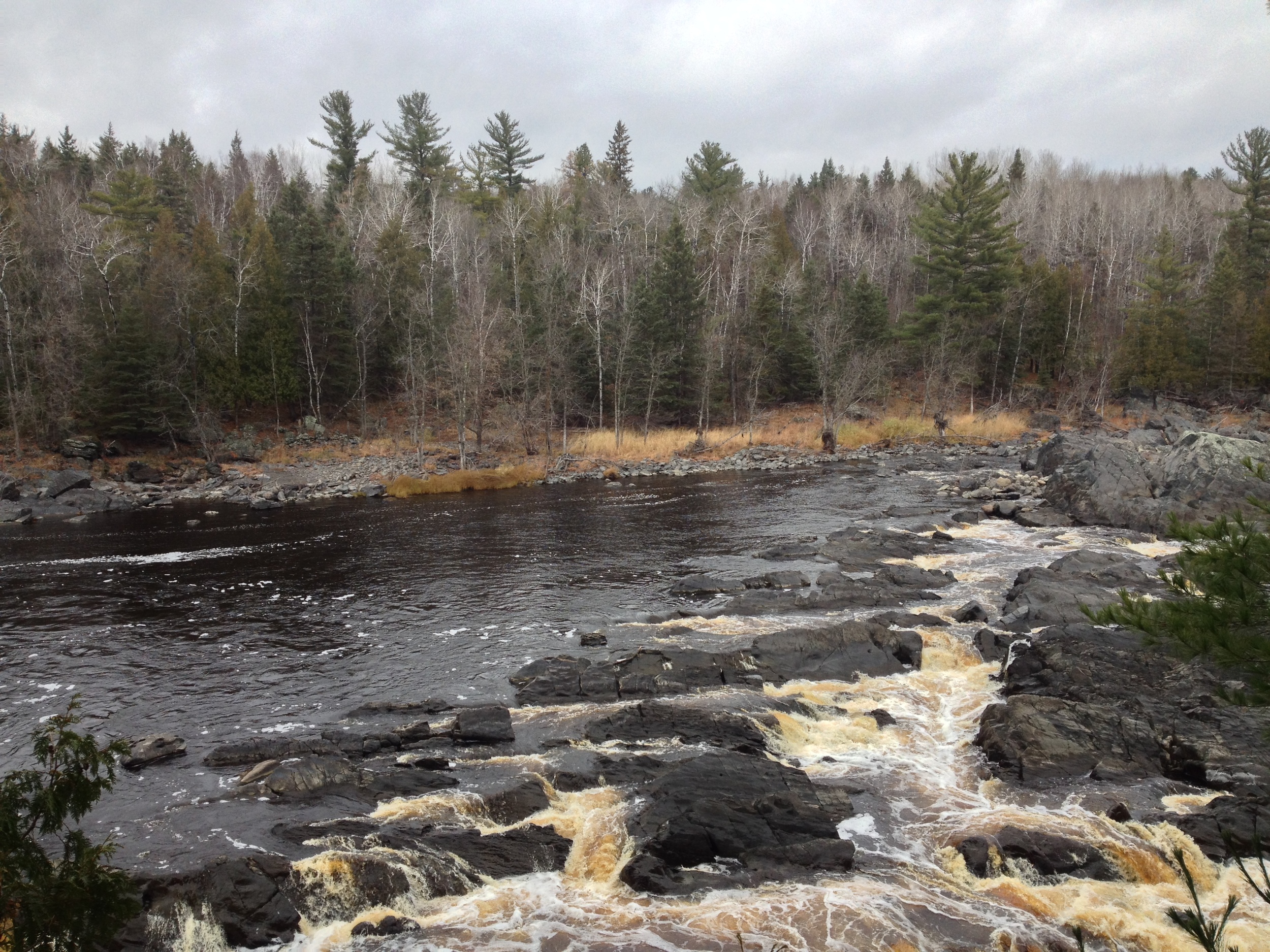
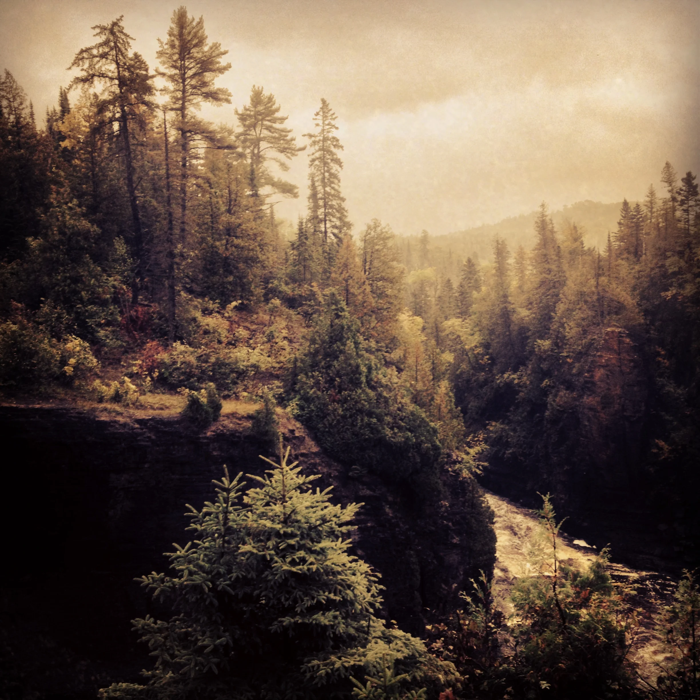
The view from the top of High Falls at Tettegouche State Park
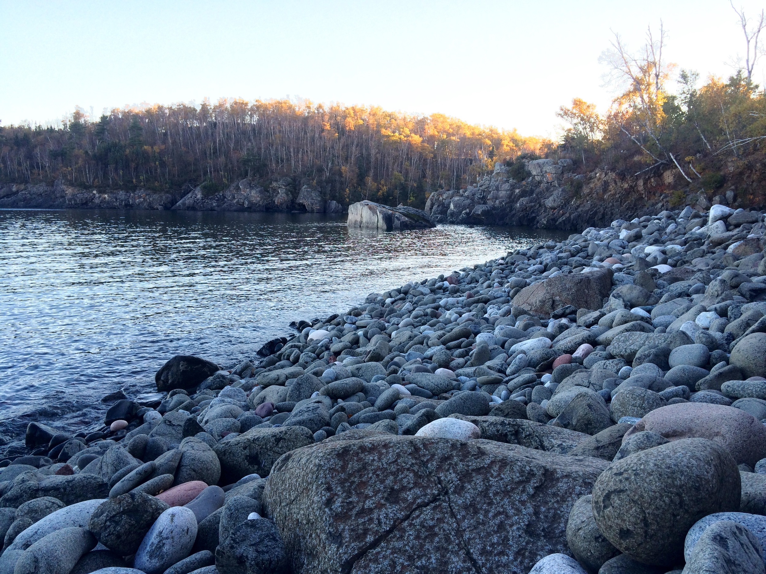
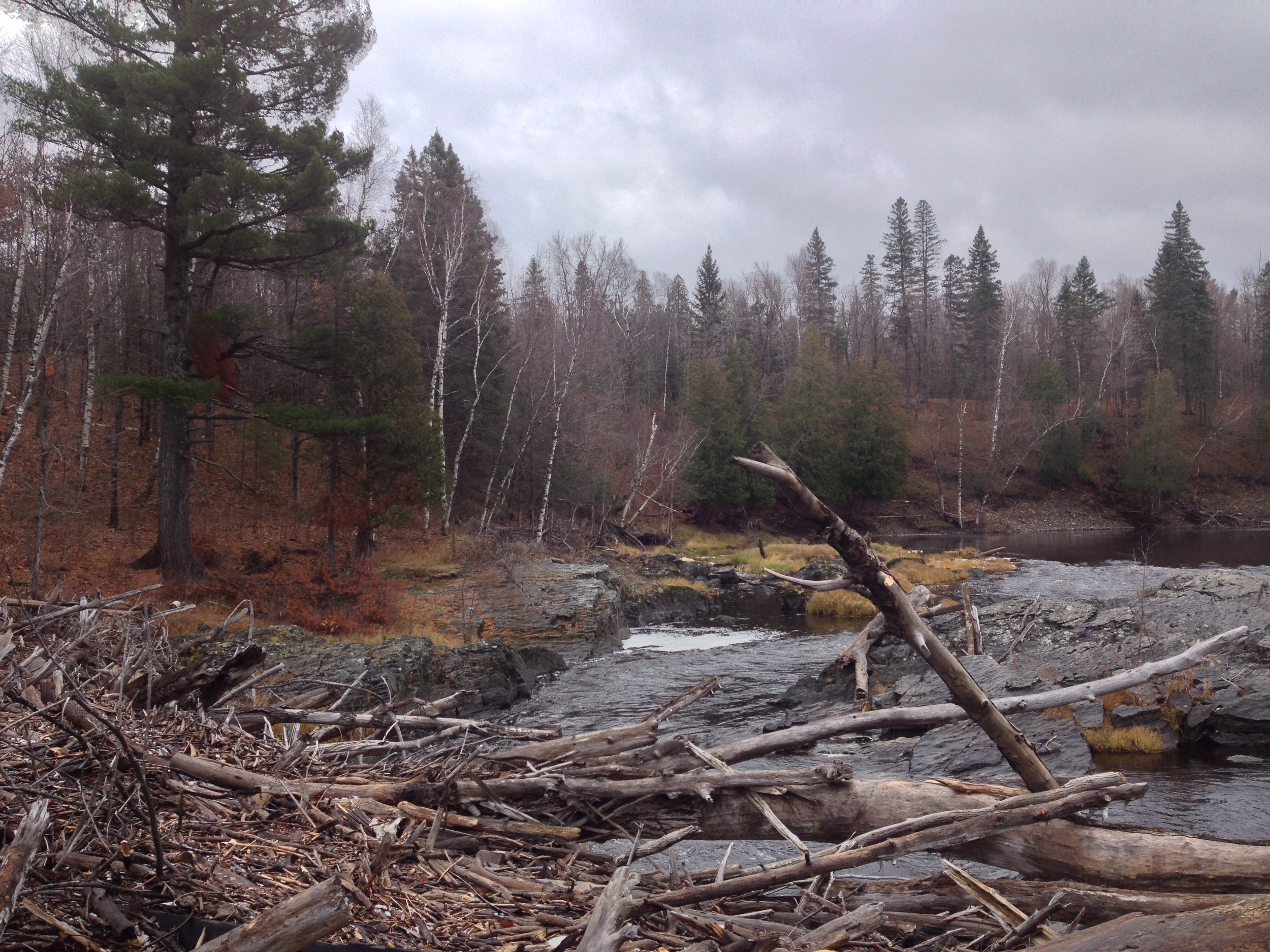
The Park

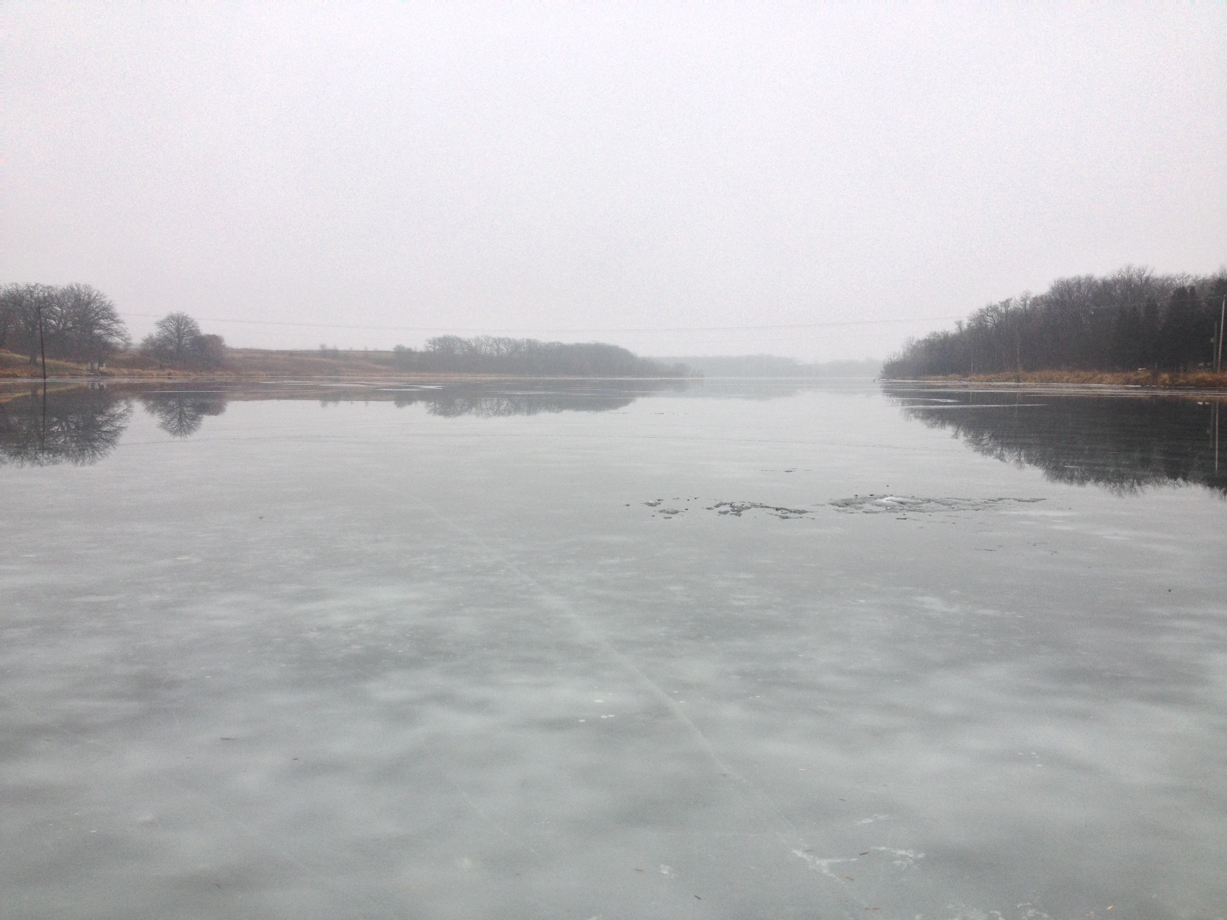
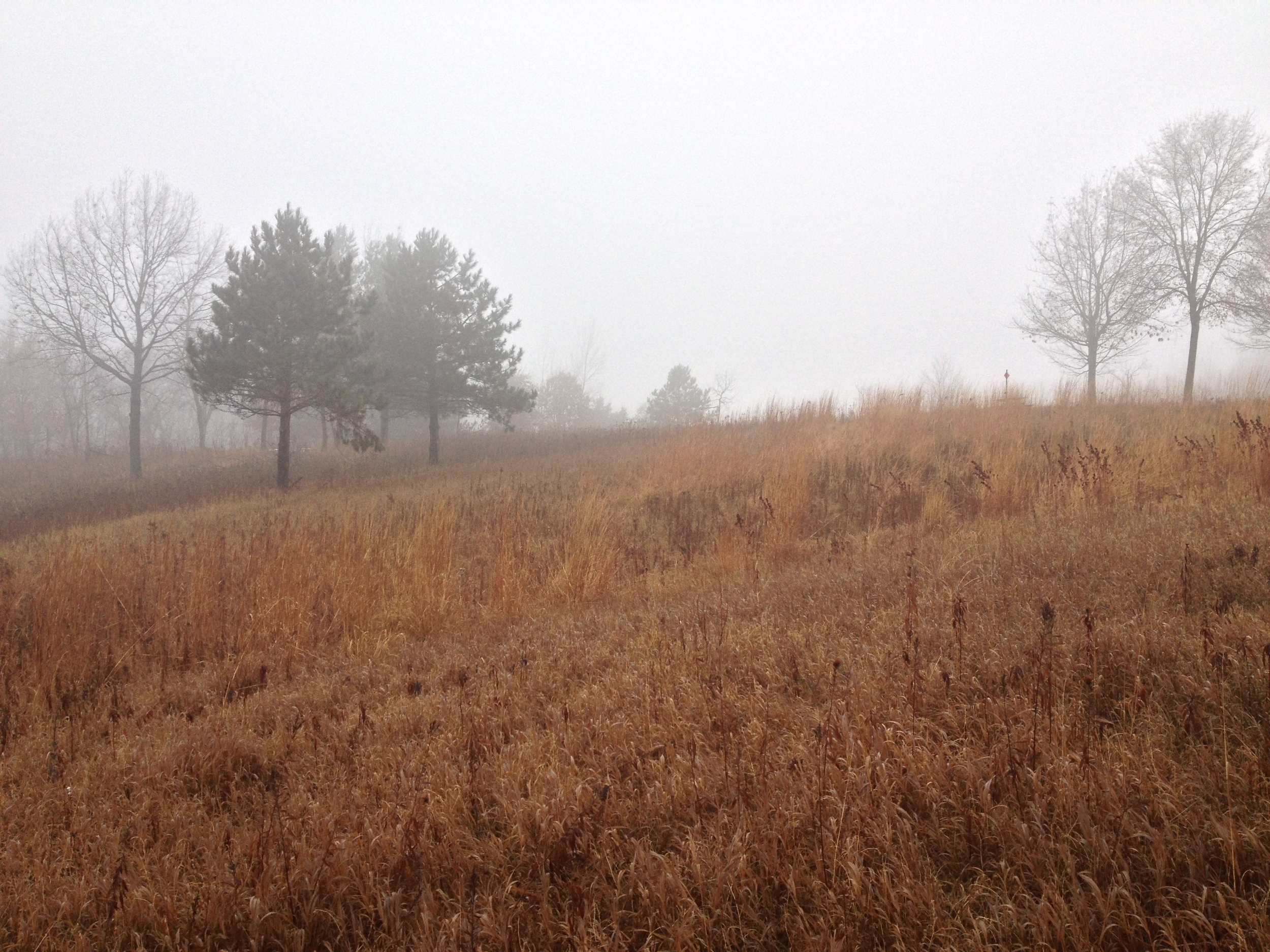
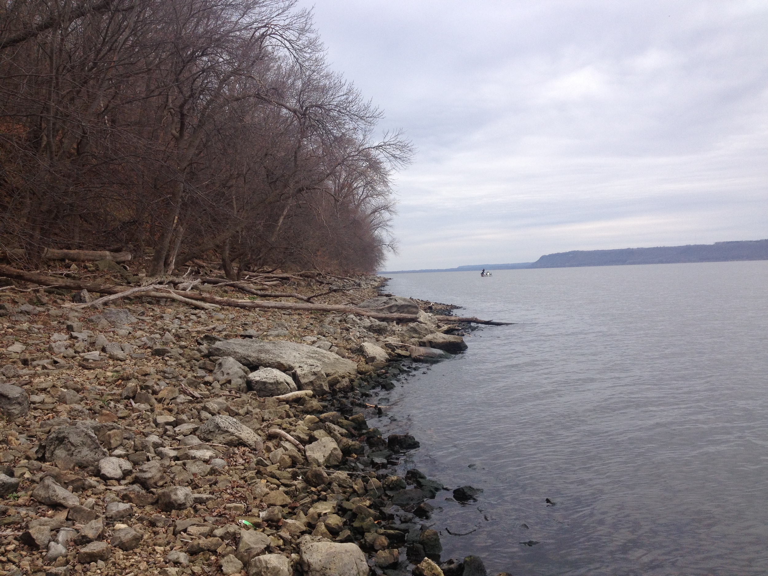
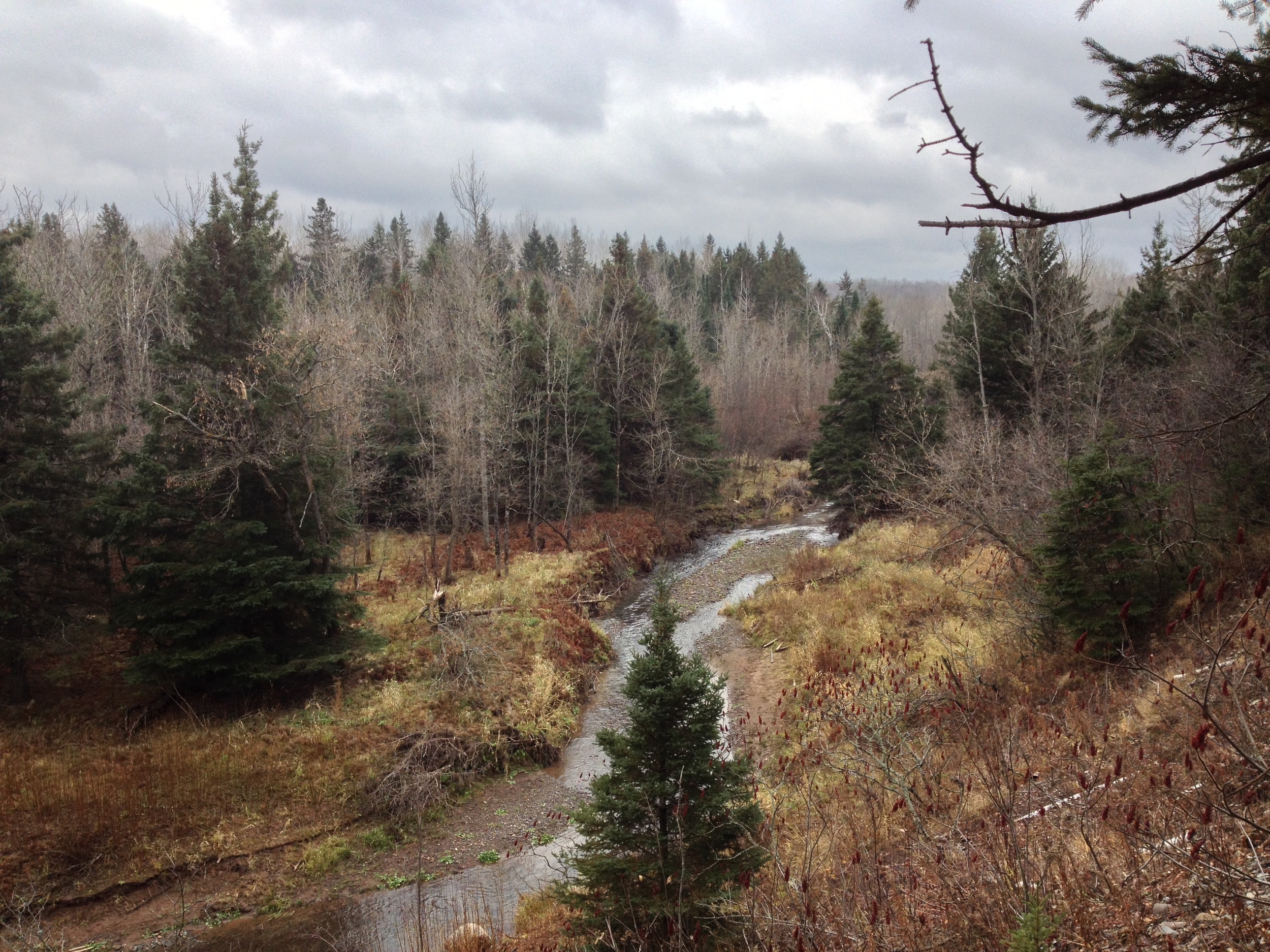
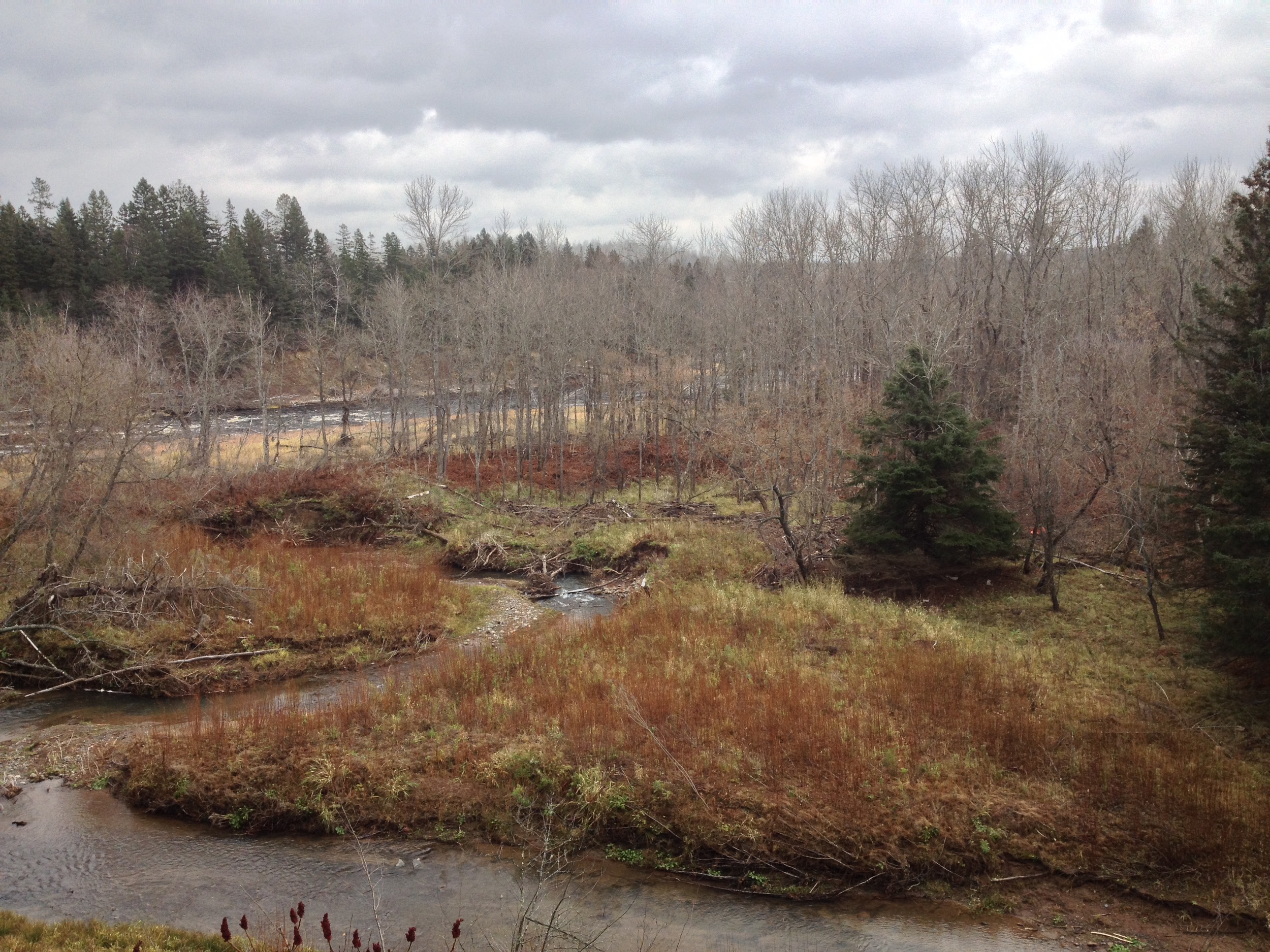
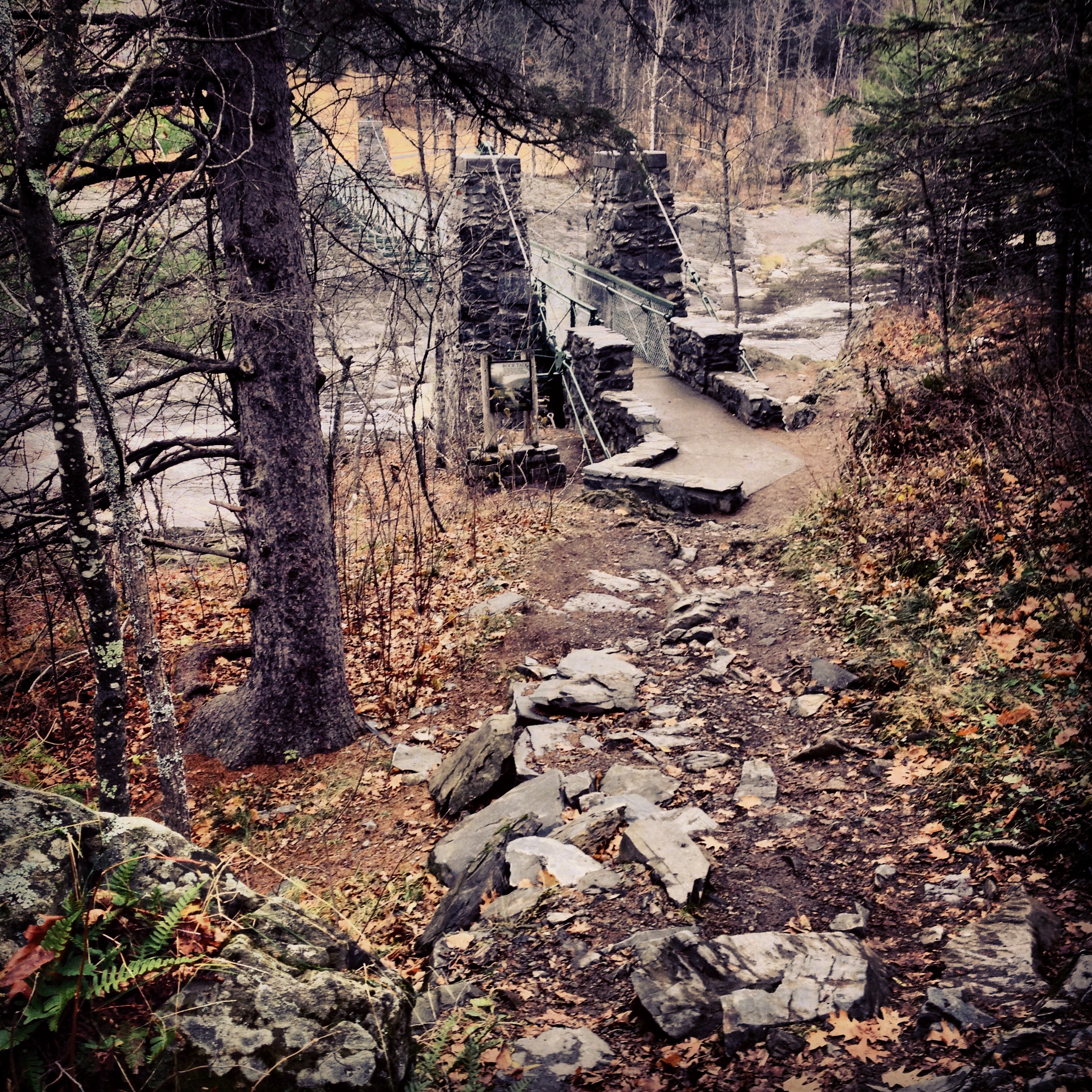
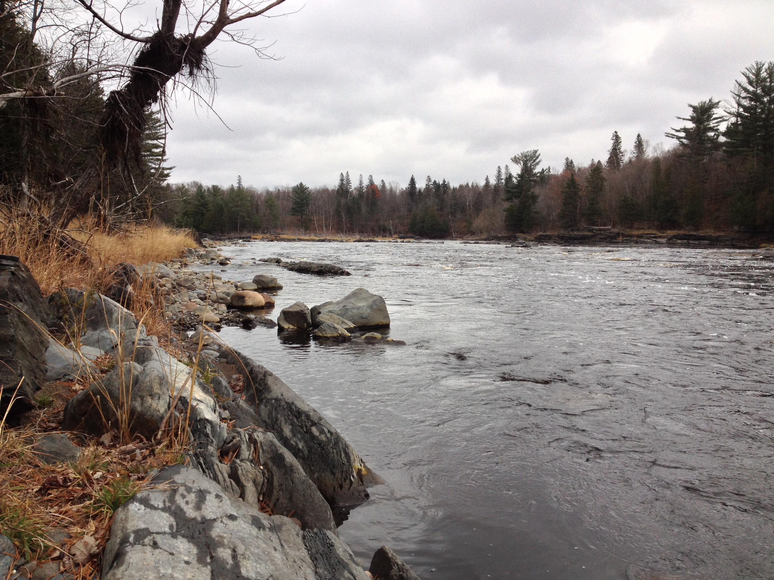
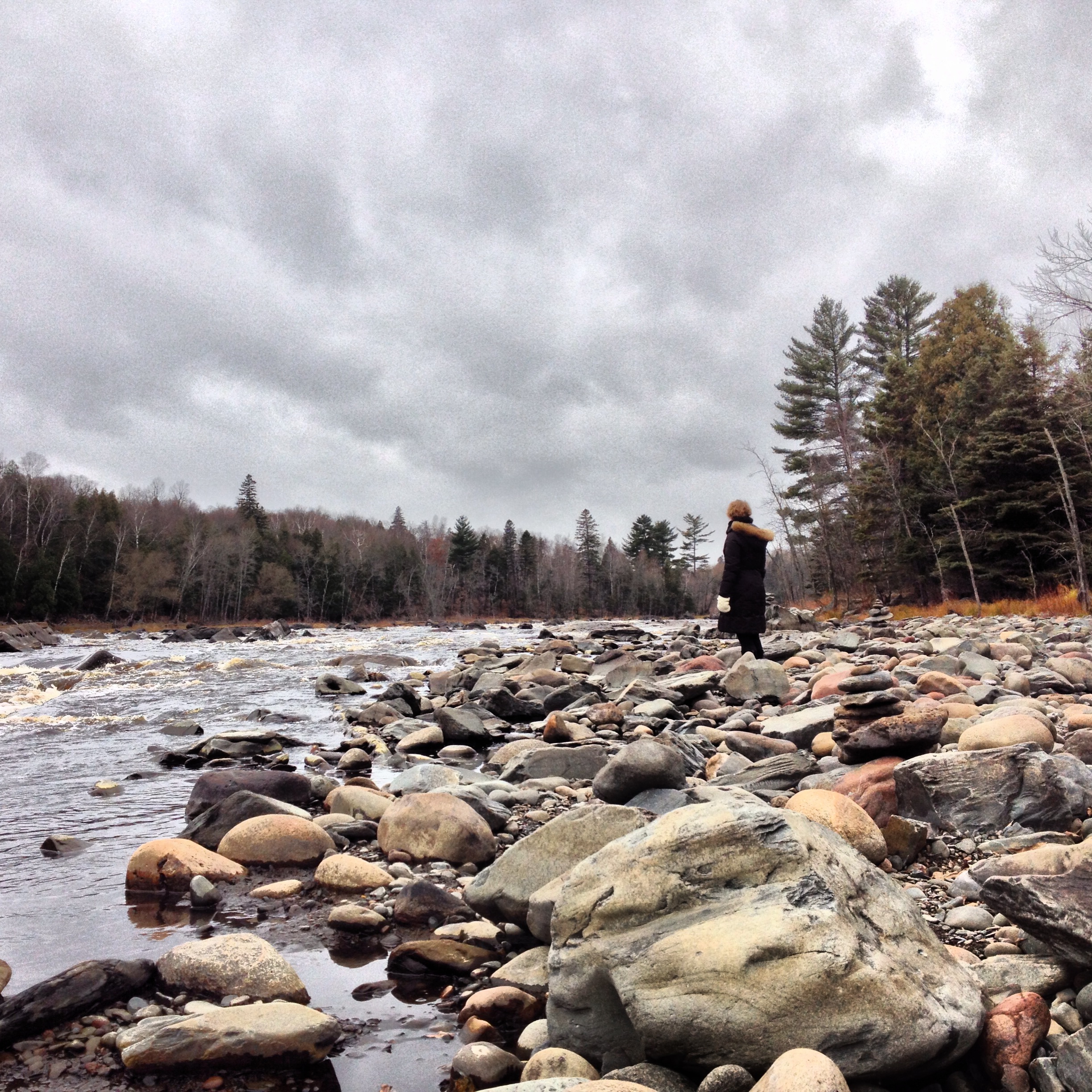
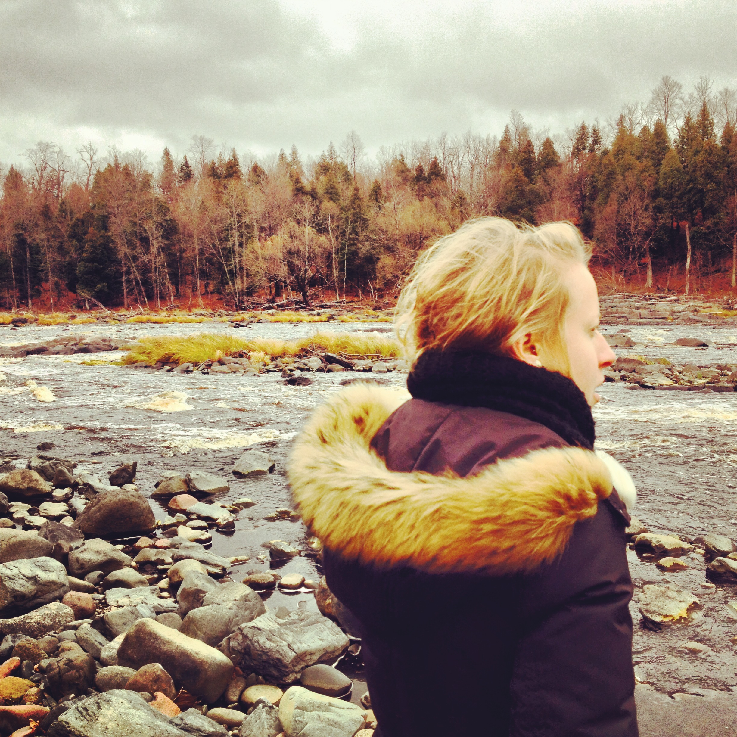
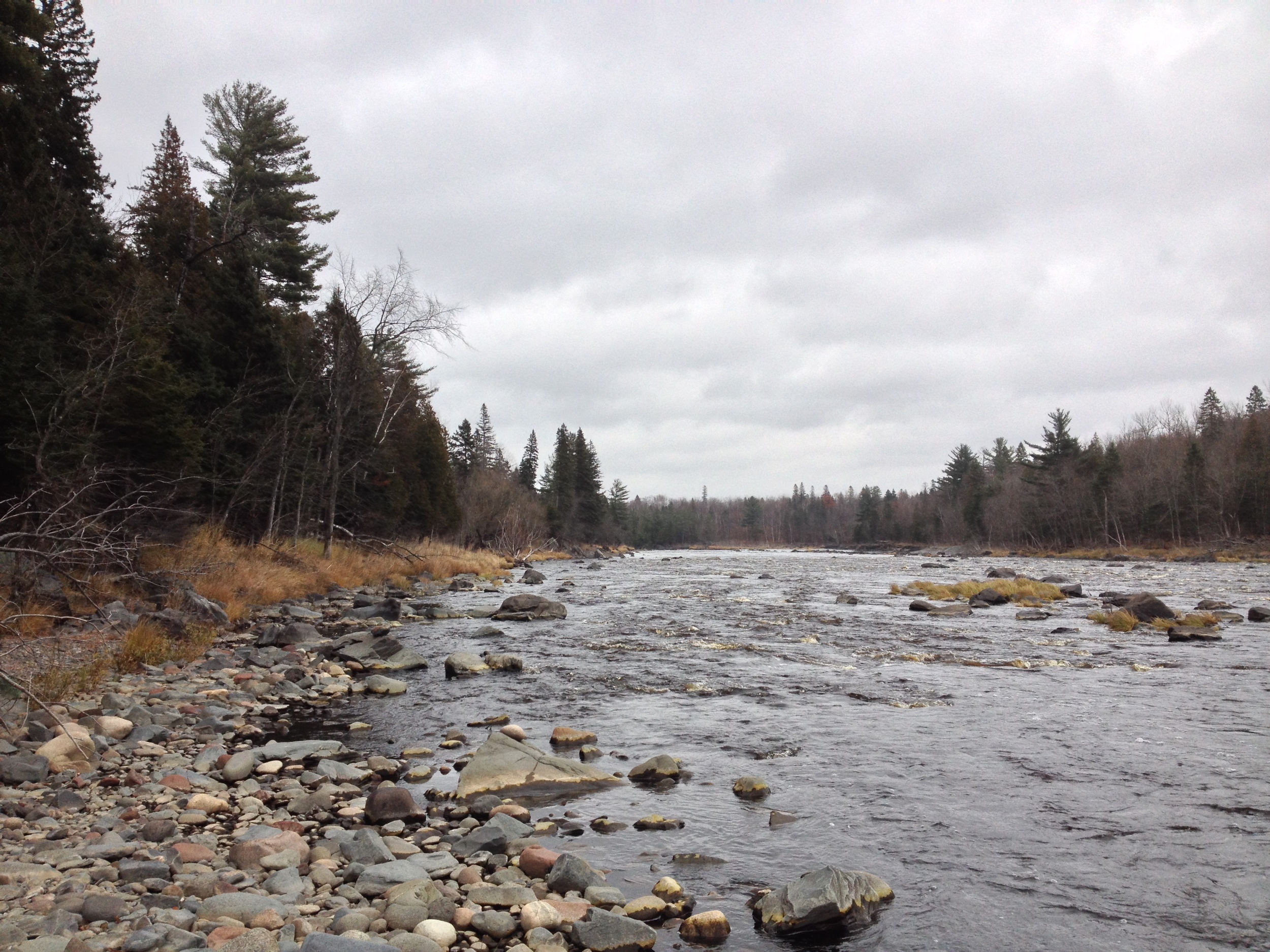
If the Minnesota State Park system had a flagship park, it would be Tettegouche. This 9,500 acre park along the Baptism River boasts 23 miles of trails including a section of the Superior Hiking Trail (SHT), three waterfalls, and a spectacular shoreline along Lake Superior. An easy hike is to High Falls, cascading 60 ft over the basalt cliffs. Inland lakes offer prime trout fishings and the high cliffs along the trail to Shovel Point is one of the most popular climbing locations along the shore. And if you need a break from your outdoor adventures, the visitor center features a massive central fireplace and comfortable seating to hang out and relax. The only drawback is that the campsites, which are still great, are not situated right along the lake like Split Rock or Temperance. Nevertheless, this park truly has something for everyone and is a must visit. 

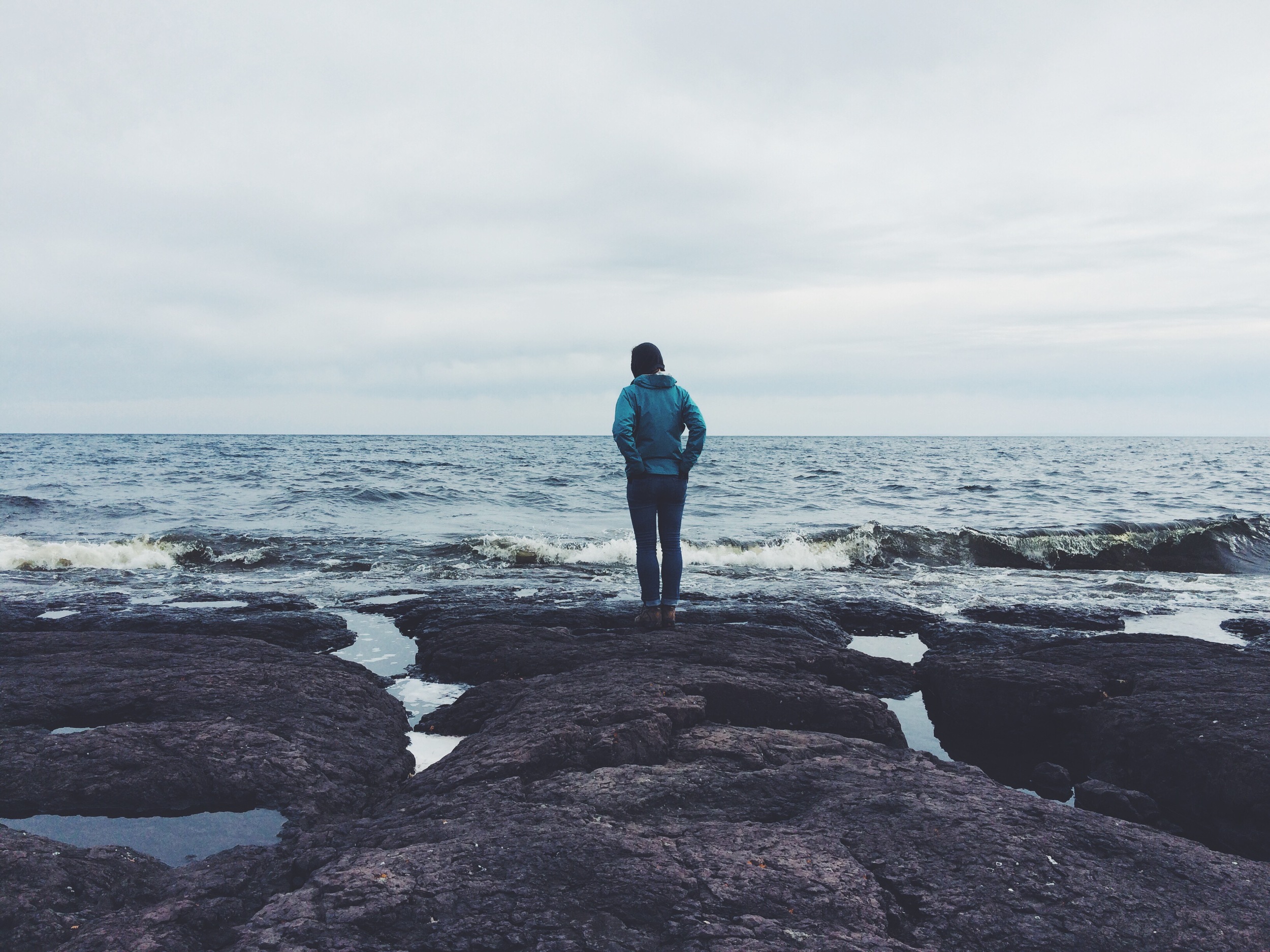
The cliffs at Shovel Point in Tettegouche State Park 
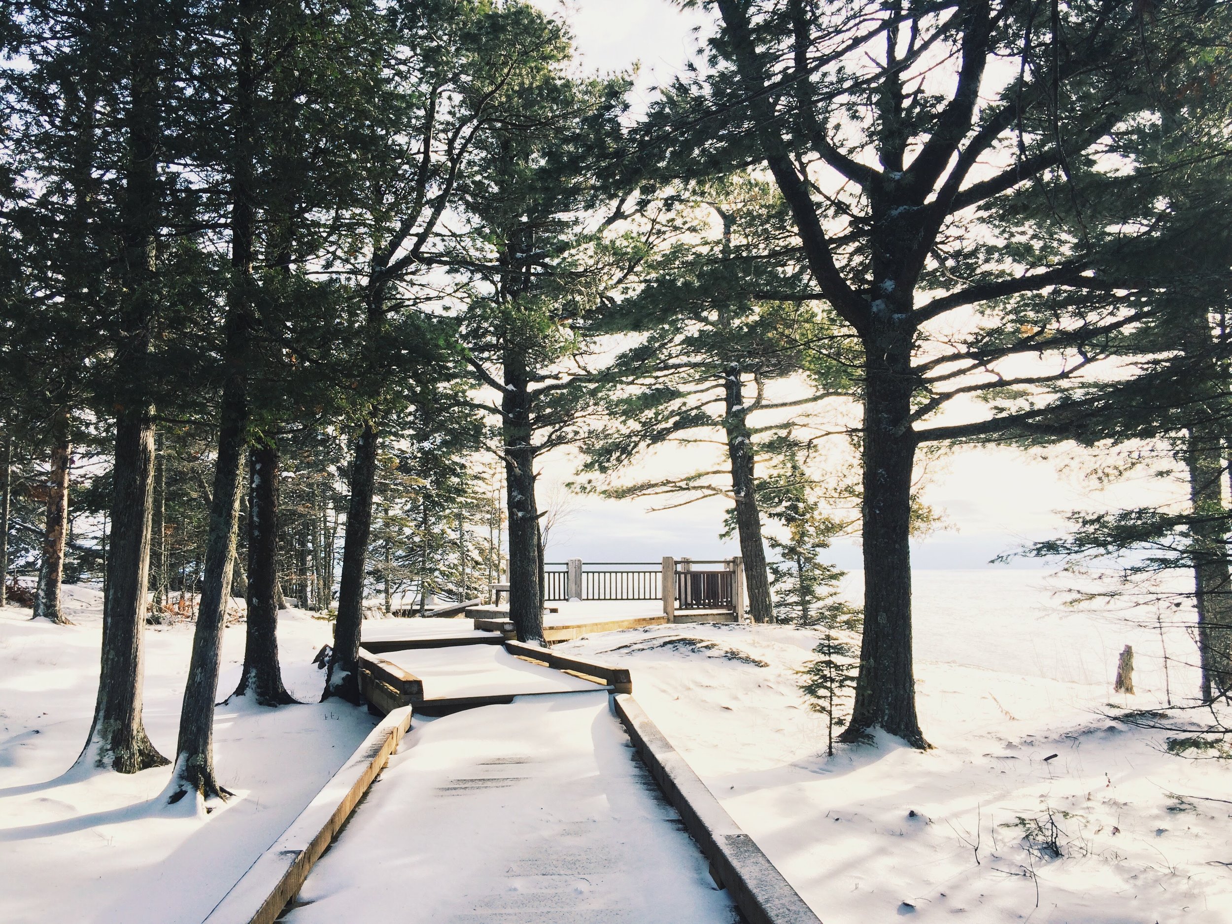
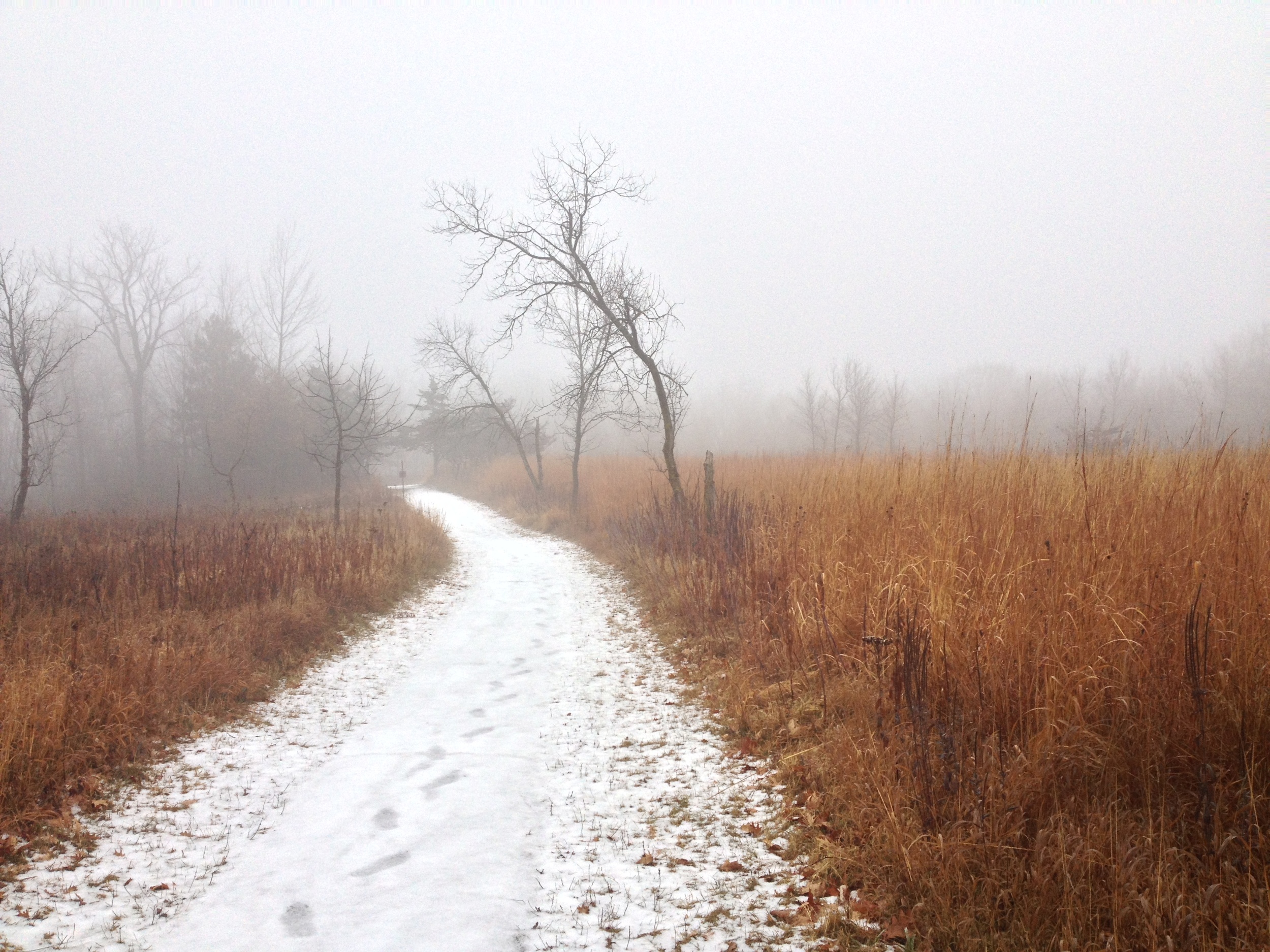
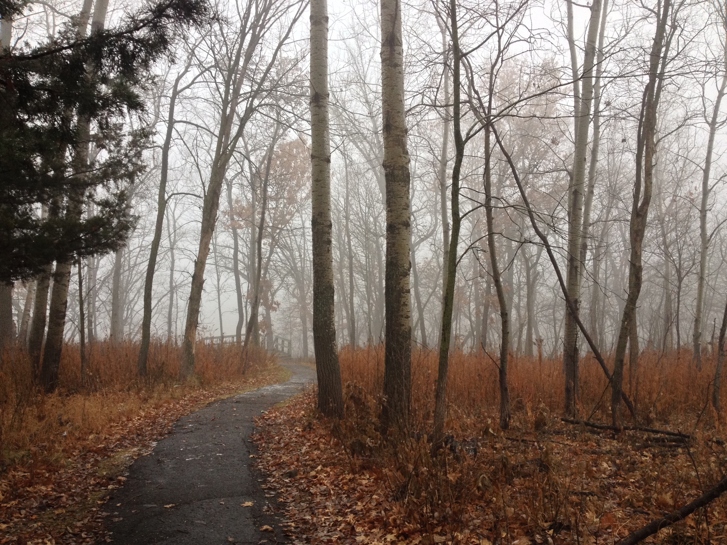
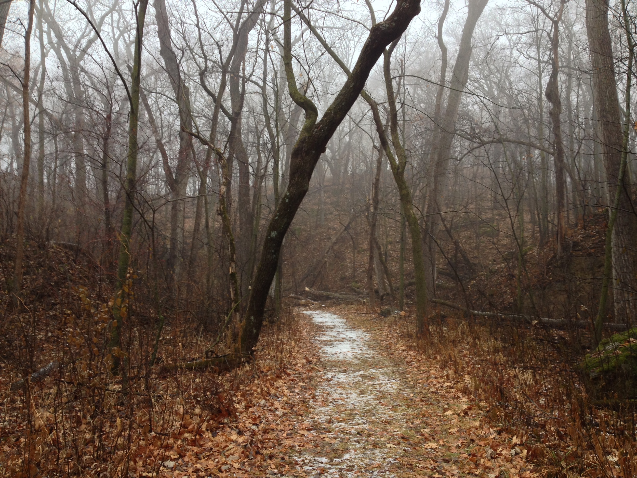
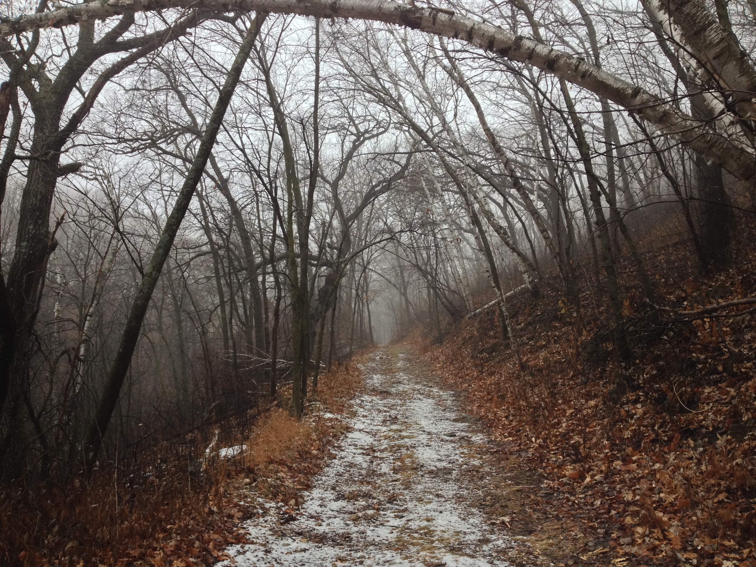
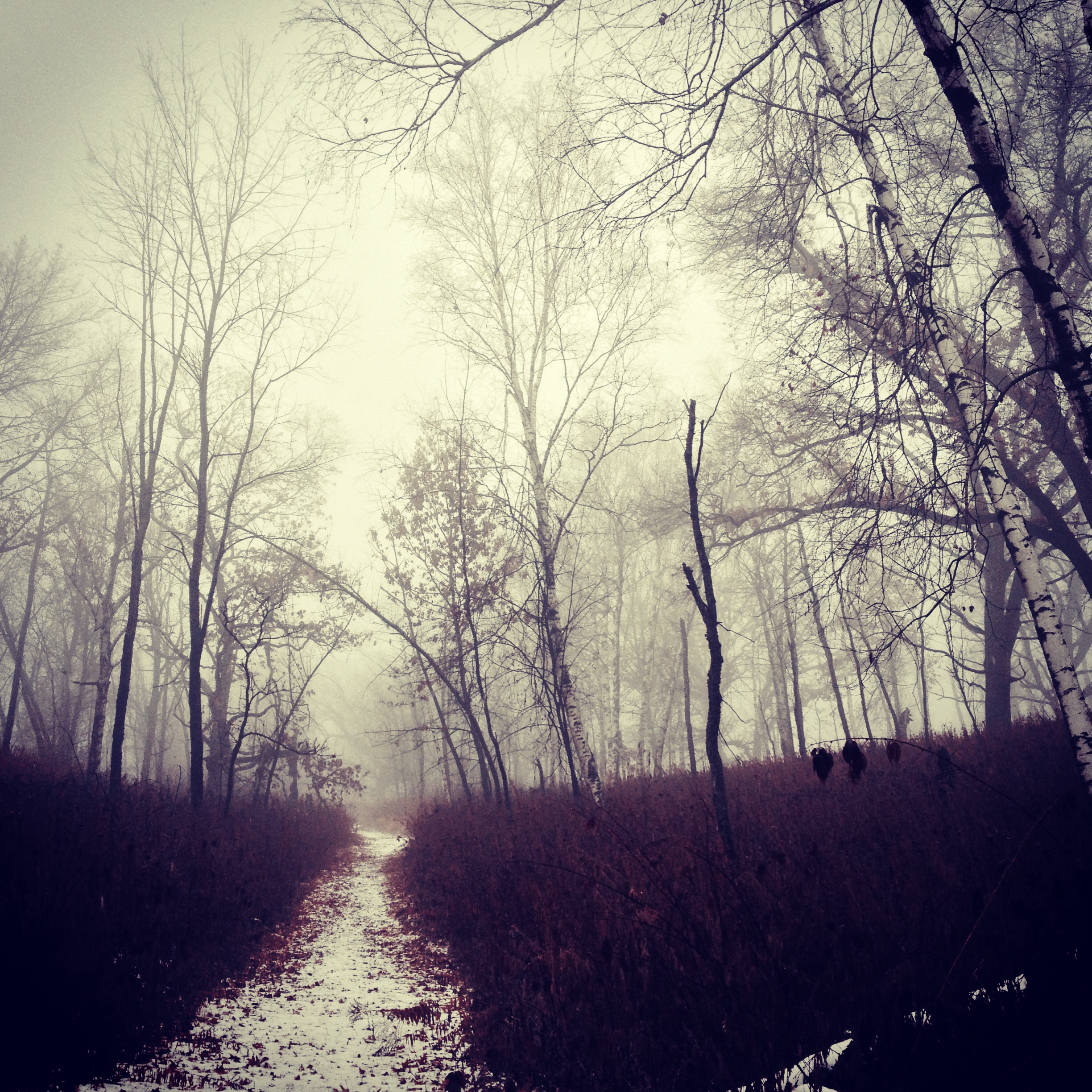
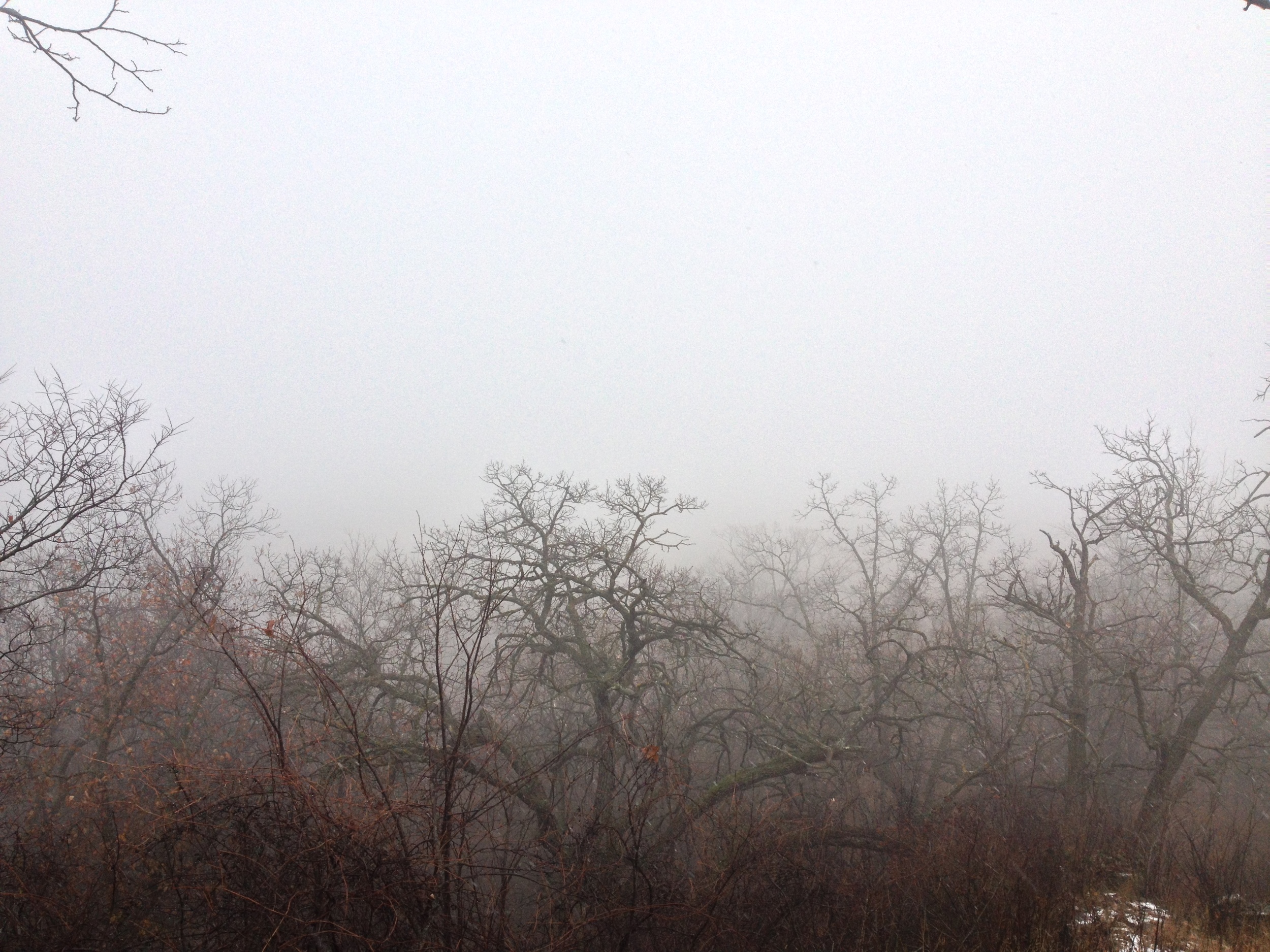
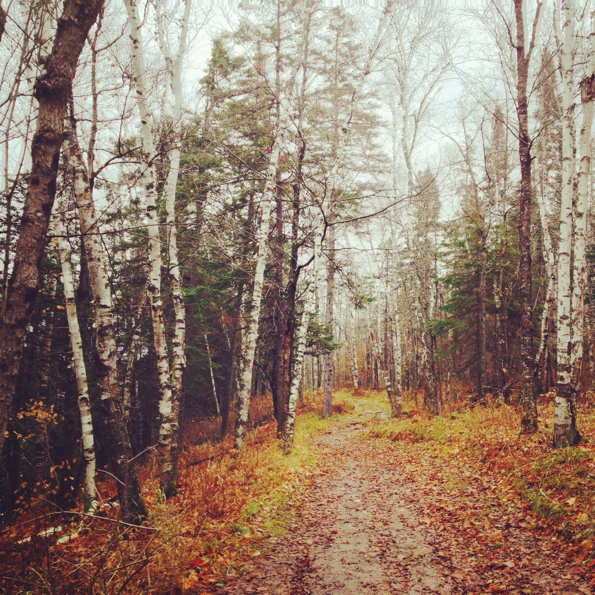
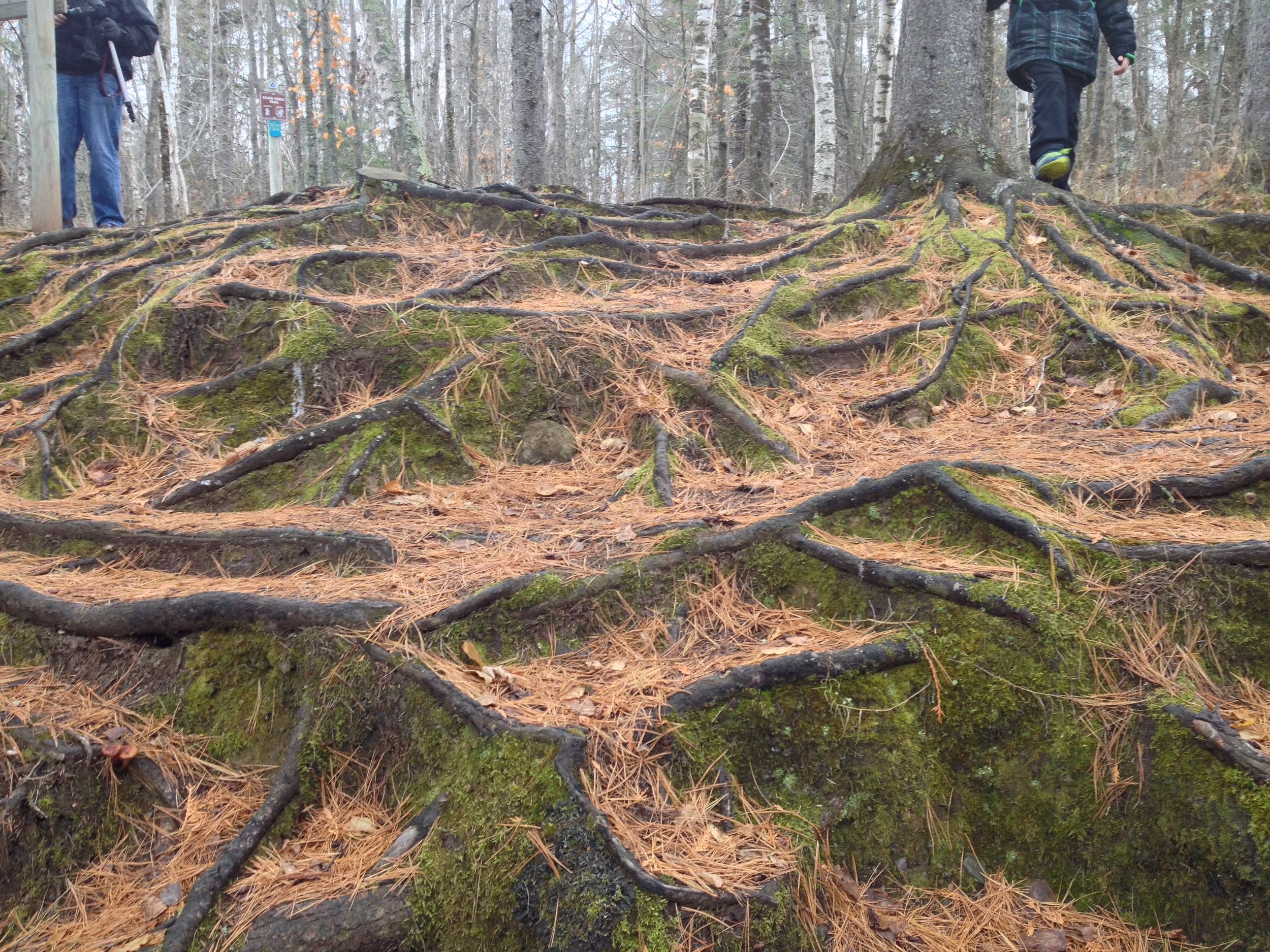
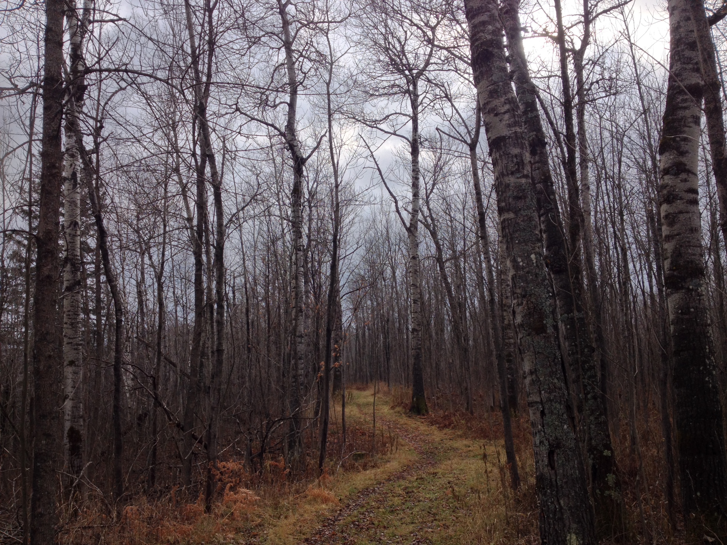
The Hike

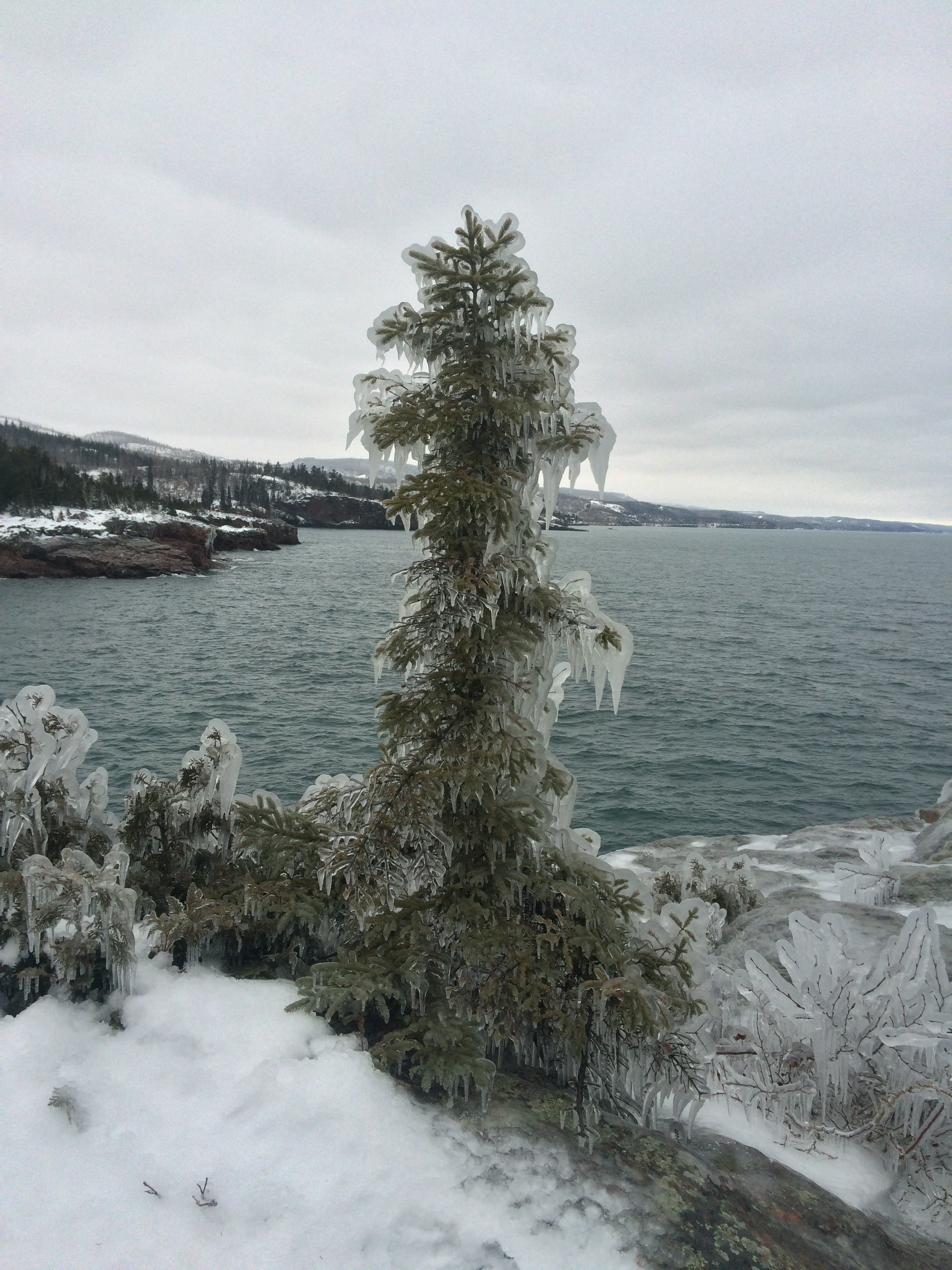
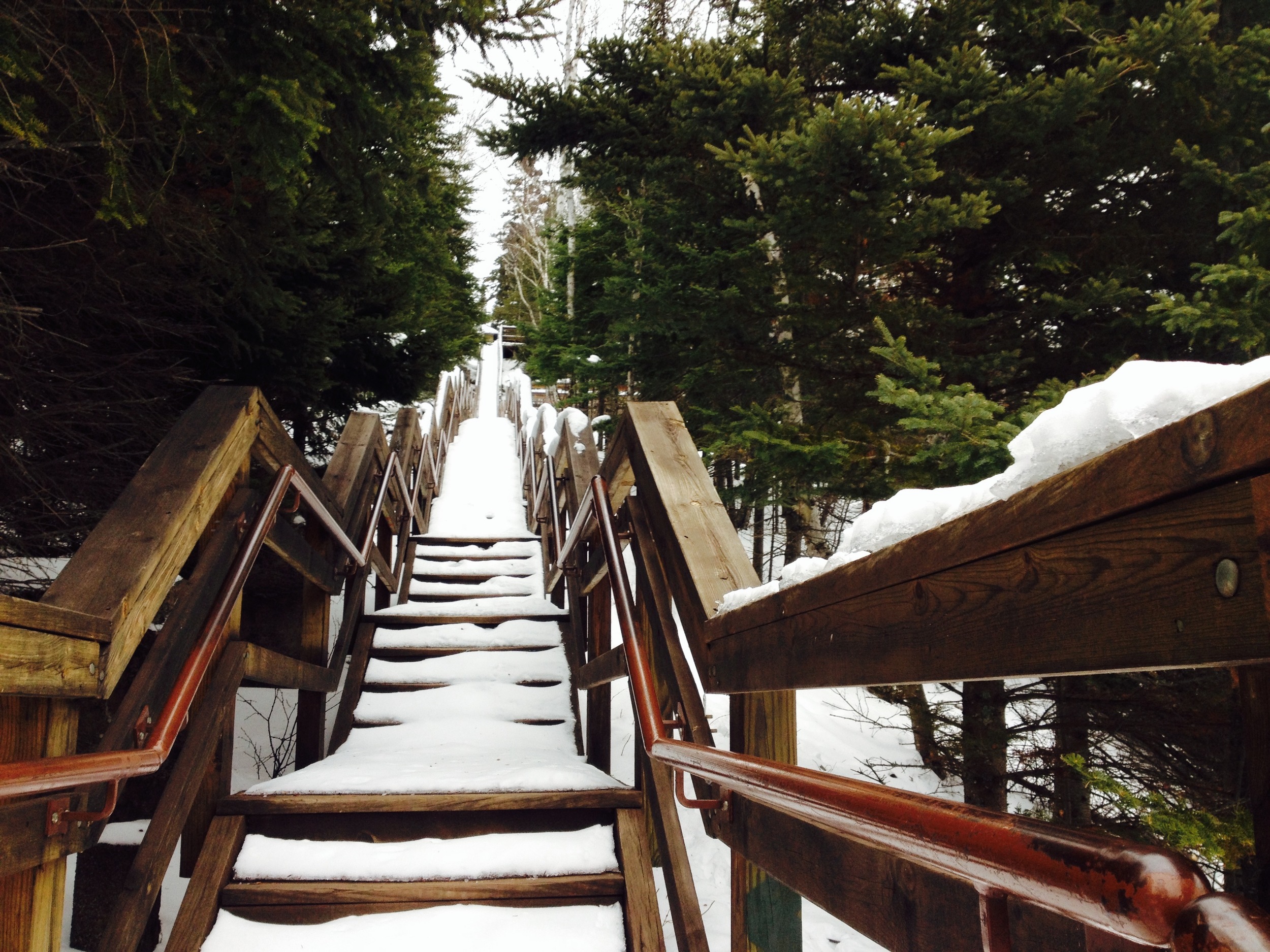
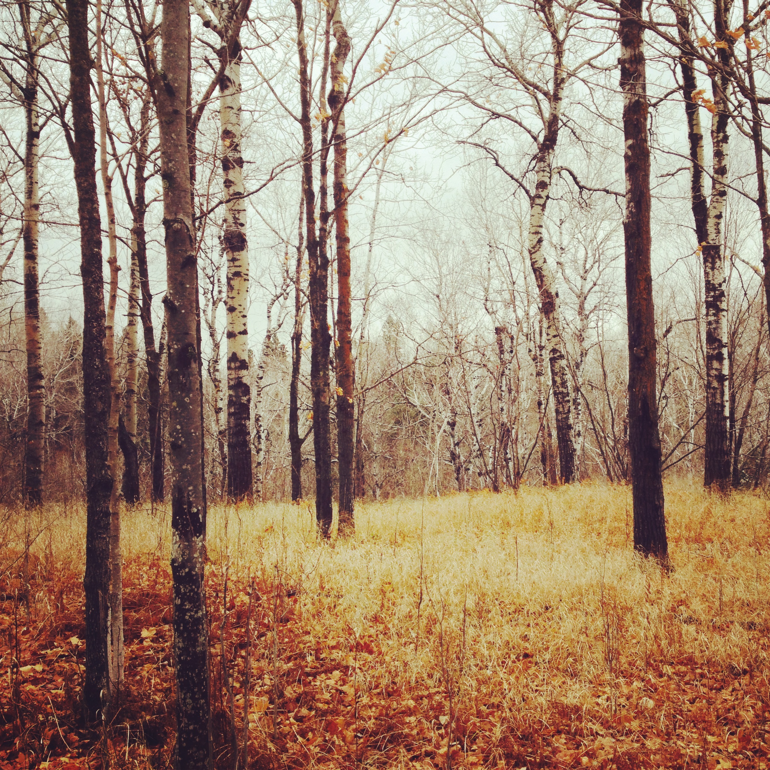
Begin your 2-mile hike behind the visitor's center following the signs for the Hiking Club trail or Shovel Point. The trail heads east along shore with several overlooks along the way. These cliffs are a favorite place for rock climbers and hook ups are built into the rock for your convenience. The trail ends at a point jutting out into the water with great views of the lake and the surrounding terrain. Shovel Point is unsheltered and can be windy! If it is cool weather, be prepared for windchill and if it is winter, be careful of the thick ice that coats everything along the shore. Loop back through the woods. 

The Steps to Shovel Point in Winter, the end of the Hiking Club Trail at Tettegouche
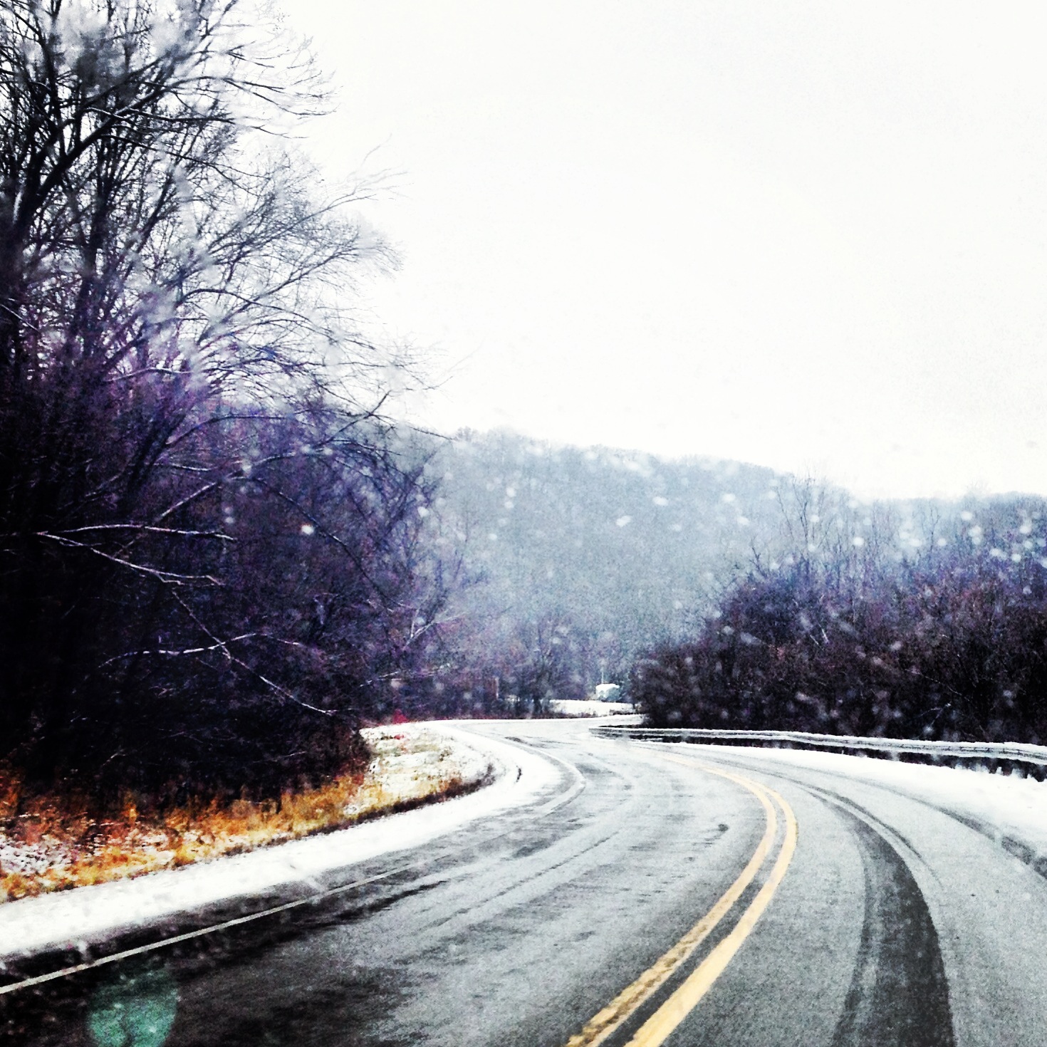
The Drive

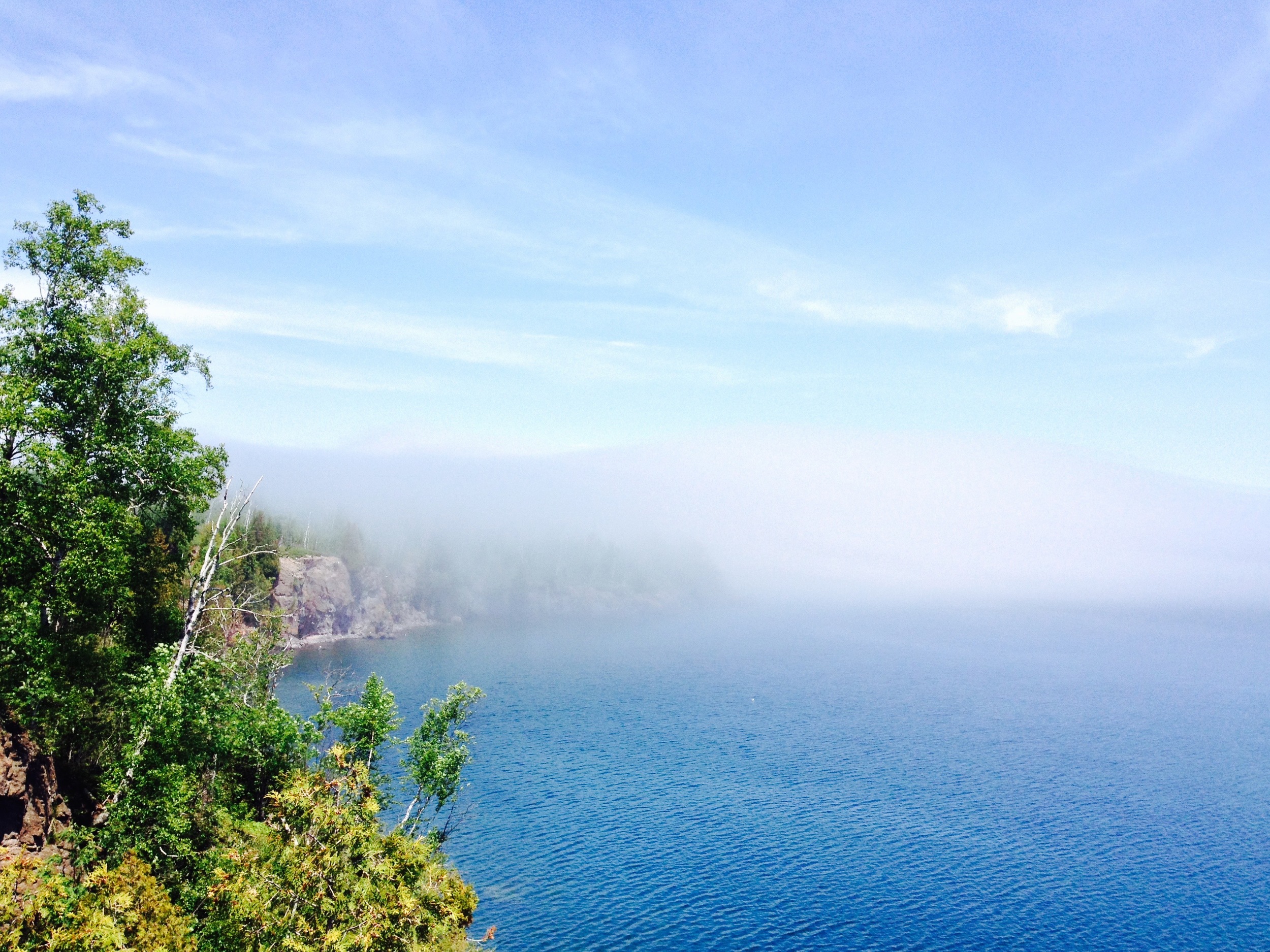
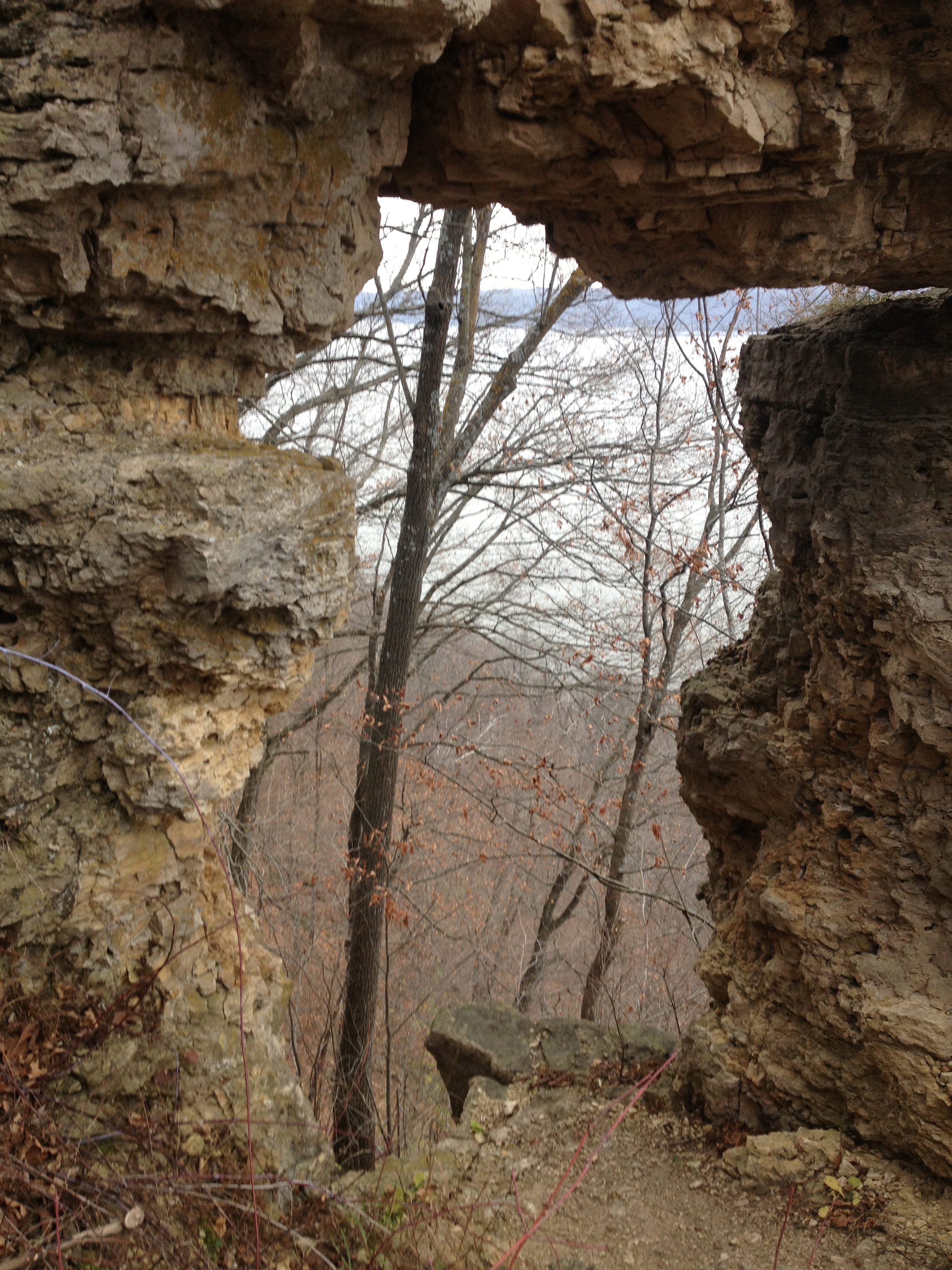
Tettegouche is along Hwy 61 on the North Shore of Lake Superior. This beautiful scenic byway has been expounded upon in other posts on this site (just search "Hwy 61"), so I won't go into it here, but I do want to mention one stop every road tripper must visit on the way to Tettegouche. Just before reaching the park, there is a turn off to Palisade Head. These cliffs are significantly higher than those at Tettegouche and provide breathtaking views of the shore. It is also a great place for rock climbing, but don't get to close to the edge if you're not harnessed in. It's a long fall! 

Honeymoon Rock at Tettegouche State Park with Palisade head visible in the distance. 

Split Rock Lighthouse State Park

Highlights

-Historic Lighthouse

-Ellison Island

-Corundum Point

-Lakeside Campsites

Ellison Island 

The Park

On November 28, 1905, a violent storm hit Split Rock Point on the North Shore of Lake Superior. While large storms aren't unusual at Split Rock, this particular storm resulted in the destruction of twenty-nine ships on the lake in a single day, prompting the construction of Split Rock Lighthouse. Dubbed at one point "the most dangerous piece of water in the world," the waves crashing against the cliffs can sometimes soak the lighthouse windows nearly two-hundred feet above the surface of Superior.

I suggest visiting during a calmer, summer day when the lake is still and the distant Wisconsin shore is just visible. Make sure you check out the lighthouse area itself, which is directly adjacent to the parking lot, or even opt to take a tour of the interior. A side hike down to the rocky shore next to the lighthouse will reveal the remains of a 19th century Norwegian fishing village, where you can follow in these early settlers' footsteps by angling for the park's lake trout or Pacific salmon, yourself.

View of Split Rock Lighthouse

The park has some of the best drive-in campgrounds on Lake Superior, but if you're feeling particularly adventurous, rent a kayak from Sawtooth Outfitters in Tofte and head to one of the park's remote kayak sites only accessible by water.

Finish your trip at the nearby Northern Lights Cafe for a drink and some local fare.

View from Corundum Point 

The Hike

The best way to see the park is to take the 5.8 mile roundtrip Hiking Club Trail to Corundum Point. Begin at the lighthouse parking lot and head west following the "Trail to the Lake." You'll pass a series of lakefront picnic grounds before entering the denser forest around the point. The trail will split, but stay to the left along the shore for the most interesting views. Take a short spur trail up to Day Hill, where you'll see the ruins of a failed settlement, and then continue on to Corundum Point for amazing views of the lake and surrounding shoreline. The Hiking Club Trail signs will want you to return via a paved bike path, but ignore them and return along the lake because it’s a much more beautiful hike. 

Gooseberry Falls State Park

Highlights:

-Close to Duluth

-Waterfall

-Basalt Flow Picnic Ground

-Lake Superior Cliffs

Micro-Bouquet at Lake Superior 

The Drive

There are two routes from Duluth to Gooseberry Falls. The Hwy 61 Expressway to Two Harbors for those in a hurry and the North Shore Scenic Byway. I shouldn’t even have to say this, but take the scenic byway. If you do, make sure to stop at Stoney Point. Lake Superior’s premier winter surfing spot, Stoney Point is a great first look at Lake Superior. Clamber on the rocks and see if you can find the abandoned fishing houses along the shore. If you’re hungry, Betty’s Pies is another pit stop worth making on the way.

The Falls Themselves 

The Park

With its iconic waterfall, Gooseberry Falls is one of the state’s most popular parks. While the waterfall area is definitely worth exploring, the 1,600-acre park has much more to offer. Several trails leading from the waterfall – two down to the lake and another up to another set of falls higher on the rivers – will open up areas of the park that are free of crowds, but just as spectacular. And don’t miss out on the picnic grounds. The grounds are located on an ancient basalt lava flow that ends in a series of cliffs along the lake and is my favorite part of the park.

Foggy Day at the Picnic Grounds 

The Trail

The hiking club trail begins on the east side of the falls and follows the windy river to the shore. Unlike the trail’s twin on the other side of the river that leads to a rocky beach, the hiking club trail terminates on a high cliff overlooking the Gooseberry River’s mouth. You’ll begin by climbing through an open birch forest with great views of the valley.  After hitting Lake Superior, the trail follows the shoreline for a while before looping back through the mixed cedar/aspen forest. This is a great hike for the fall when the aspen turn gold and the lake is stormier.

Arbitrary Rating: 5/5​ 

Frontenac State Park

What's this!? Topography in Minnesota? The beautiful hills of Frontenac State Park.

The Drive: Although Frontenac State Park is the second park I've written about to be in the blufflands of southeastern Minnesota (Whitewater being the other), it is the first that has really allowed me to drive through the area on one of these trips. The route takes you along the Minnesota-Wisconsin border on WI-35 through rolling hills, high cliffs, and a series of (seemingly) mountainous river bluffs. The most distinguished of which is Barn Bluff in Red Wing, what remains of an ancient island in the massive Glacial River Warren. If you do a day trip to Frontenac, make sure to stop in Red Wing, the town famous for its boots, pottery, and my relatives (shout out to the Red Wing Whitsons). On a summer day the Barn Bluff hike is a great side trip. Frontenac is just a few minutes south of the town along the river.

Feather on the shores of Lake Pepin at Frontenac State Park

The Park: The 3000 acre park is located on the west shore of Lake Pepin, the widest and arguably most scenic section of the Mississippi River (and also the birthplace of waterskiing). A major flyway for migrating birds, ornithologists have counted as many as 260 different species of birds in the park. Only about half the park is accessible by trails and I would fairly arbitrarily divide that half into three sections. The first part is the river front. There is trail that cuts right along the bluff and goes down to the banks of Lake Pepin. You also get to see In Yan Teopa Rock - a religiously significant landmark to the American Indians in the area. The second area is the the inland region where the hiking club trail is located. In my opinion this is the most scenic section (and where most of these pictures are from). Finally there is Point au Sable (Sandy Point), the sight of an old French trading post on the far side of the town of Frontenac. If you have time, visit all three areas as they each offer a unique experience in the park.

Birch trail with a dusting of snow at Frontenac State Park  

The Hike: On my first visit to Frontenac, we just hiked the riverfront trail and I wasn't too impressed, so I wasn't thrilled to be going back to check out the Hiking Club Trail. I am pleased to say, however, that the Hiking Club Trail well exceeded my rather low expectations. The trail starts at the main parking lot and immediately turns away from the river. It is a hilly trail, traversing forests and fields on its 2.7 mile loop through the park. About half way through there is an overlook of the river valley that I imagine would have been spectacular vista in fairer weather. Unfortunately, the thick fog left a blank canvas where the view should have been (but made for great pictures otherwise). Also keep your eye out for the three 1960's era cars mysteriously abandoned in a ravine on the way. Like most Hiking Club trails, this hike would be great at any time of year, but as long as you don't mind being a little wet and cold (and true hikers don't), it's hard to beat a foggy autumn afternoon during the first snowfall of the year.

Cumulative Miles Hiked: 58.1

Cumulative Miles Driven: 2610

Arbitrary Rating 4/5 (3/5 +1 for a foggy day)

Biome: Eastern Broadleaf Forest

Region: Blufflands

Jay Cooke State Park

The rapids on the St. Louis River at Jay Cooke State Park. Believe it or not, we saw people kayaking over these and even larger cascades. 

The Drive: There have historically been two routes to Jay Cooke State Park (and Duluth) from Minneapolis. The first, fastest, and most traveled is I-35. And while this stretch of 35 is one of the most beautiful sections of interstate highway in the country, it's still a giant interstate highway lined with billboards and gas stations. The second route is a section of MN Hwy 23 known as Veterans Evergreen Memorial Scenic Drive. Splitting off from 35 in Sandstone, 23 passes through idyllic Northwoods towns like Askov and Finlayson before passing into the wilderness between the Twin Cities and Duluth. It offers amazing views of the St. Louis River Valley as well as a number of smaller rivers. However, if you want to reach Jay Cooke today, do not take the beautiful Scenic Driver. Because of the Great Duluth Flood (I invented that name) a few years ago that inundated the zoo, compromised roads, and washed away the iconic swinging bridge at Jay Cooke, the access road from Hwy 23 is closed indefinitely. My friend and I found this out to our dismay on our most recent trip up when we were forced to drive through Duluth and backtrack down 35 to reach the park, adding over a half an hour to our drive. Was it worth it to see Hwy 23? Maybe if I'd never have another chance, but if you are a regular North Shore visitor, take it on a day you plan to skip Jay Cooke and avoid repeating our mistake.

It's called a swinging bridge at Jay Cooke State Park and maybe it started out that way, but today it's mostly just a regular foot suspension bridge.

The Park: Jay Cooke State Park has always been a favorite of mine and is one of Minnesota's most popular state parks. Created from land donated by Jay Cooke, the famous Civil War financier (who also caused one of America's worst depressions when his financial empire collapsed), the 9000 acre park sits at the southern extent of the great taiga that covers nearly a third of North America. It is home to north woods animals like timberwolves, black bears, deer, and pine martins and the wild river and asperous rock outcroppings give it the kind of wilderness feel you always imagine, but so rarely actually experience in parks so close to urban centers. The St. Louis River and the newly rebuilt swinging bridge across it are the stars of Jay Cooke, but a jaunt along some of the trails and into the forest reveal that Jay Cooke has much more to offer. The mixed birch-pine forest, so characteristic of northeastern Minnesota, takes on rugged, primeval essence when set against the background of the untamed St. Louis River valley. There are several hike-in sites that allow you to truly experience the park - in the woods and away from other people.

The Birch and Aspen groves at Jay Cooke State Park can only be seen by leaving the riverbanks. 

The Trail: I admit that I hadn't explored Jay Cooke beyond the river before I did the Hiking Club Trail. Fortunately the 3.5 mile trail gives a good overview of what the park has to offer, even if it only covers a small portion of it. Begin the trail at the visitor center parking lot. You'll start by crossing the swinging bridge, over the rapids. If you're lucky, you may see kayakers braving the whitewater and waterfalls on their way down the St. Louis, but don't try it yourself unless you are a very experienced whitewater kayaker or have no sense of self-preservation. The rest of the trail is a big loop following the Silver Creek Trail, so you can choose whichever direction you want to go, but I suggest starting by following the river east. You get to see the river calm down a bit and widen as it makes its way to Lake Superior. The trail then turns south from the river through groves of birth and aspen and comes to a point overlooking Silver Creek. You'll continue through the forest, up and down some major hills, and eventually end up back at the river. And follow the river back to the swinging bridge.

Cumulative Miles Hiked: 55.5

Cumulative Miles Driven: 2406

Arbitrary Rating: 5/5

Biome: Laurentian Mixed Forest