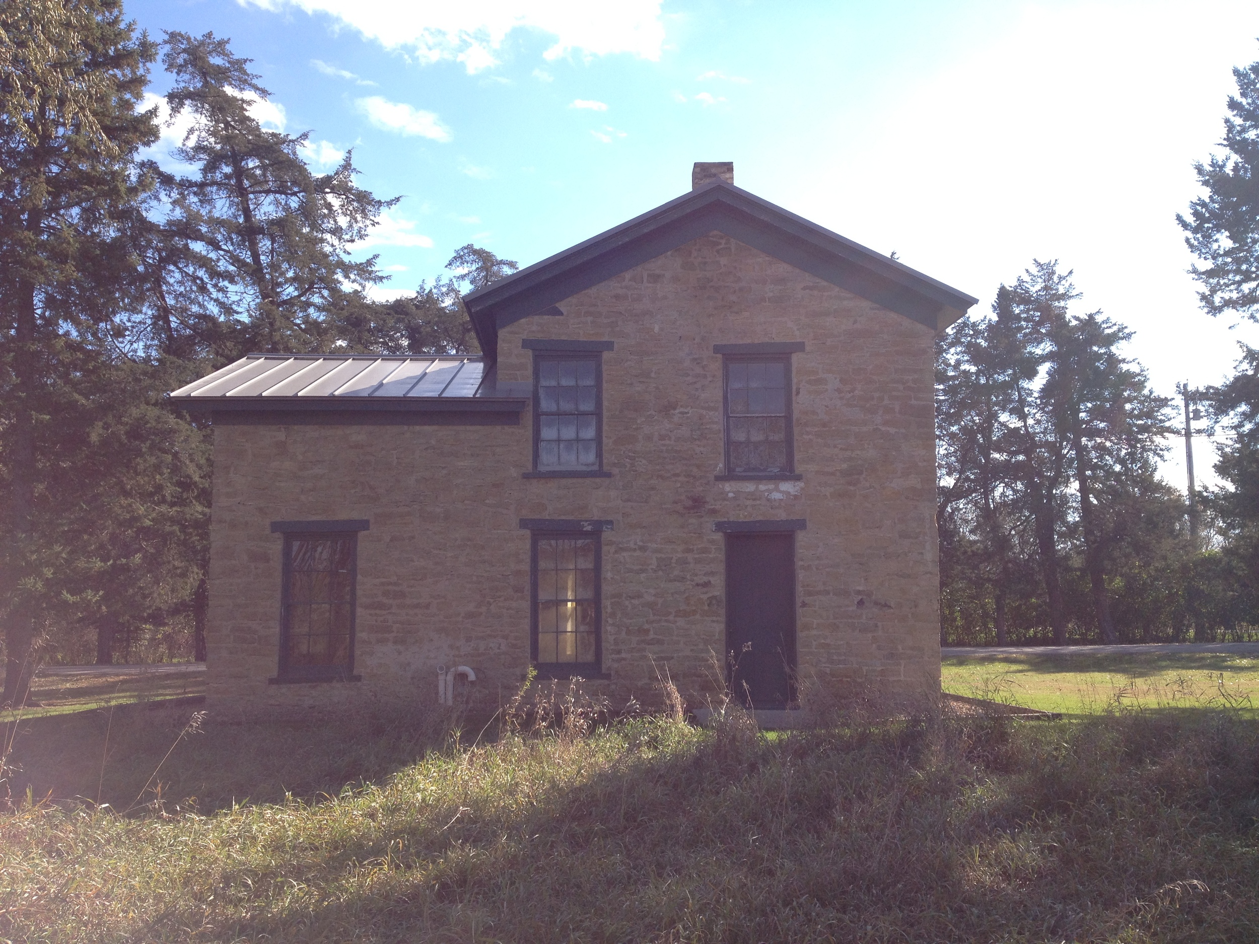
Historic Home in the Minnesota Valley State Recreation Area.
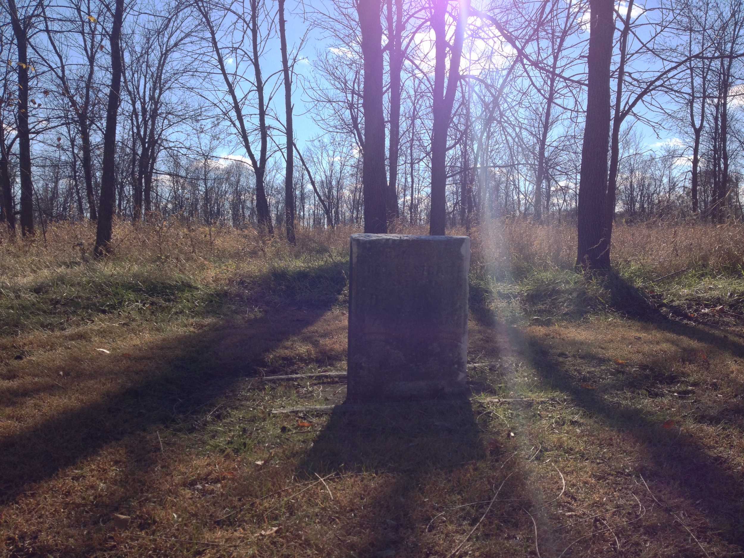
The Drive: This park had the distinction of pushing me over both 50 miles hiked and 2000 miles driven. I'm not even a third of the way through this "road trip," but 2000 miles is enough for me to discover that backroads are the heart and soul of a good road trip. From the dirt roads of Superior National Forest to the barely maintained one lane forest service road to McCarthy Beach to the seemingly endless grid of western farm roads on the prairie, you're never going to see what Minnesota (or anywhere) is really like unless you're will to put a few extra miles (plus dents, scratches, and insects) on your vehicle. In a previous post I extolled the wonders of Hwy 169 and driving the Minnesota River Valley, but Minnesota Valley State Recreation area gets you off the highway and onto true river valley roads. About 45 minutes southwest of Minneapolis, you leave the highway and drive though a series of failed river settlements that have left nothing behind but abandoned houses and lonely gravestones in the woods. Your just minutes from several populous commuter towns, but you could be a hundred miles and a hundred years away from civilization.
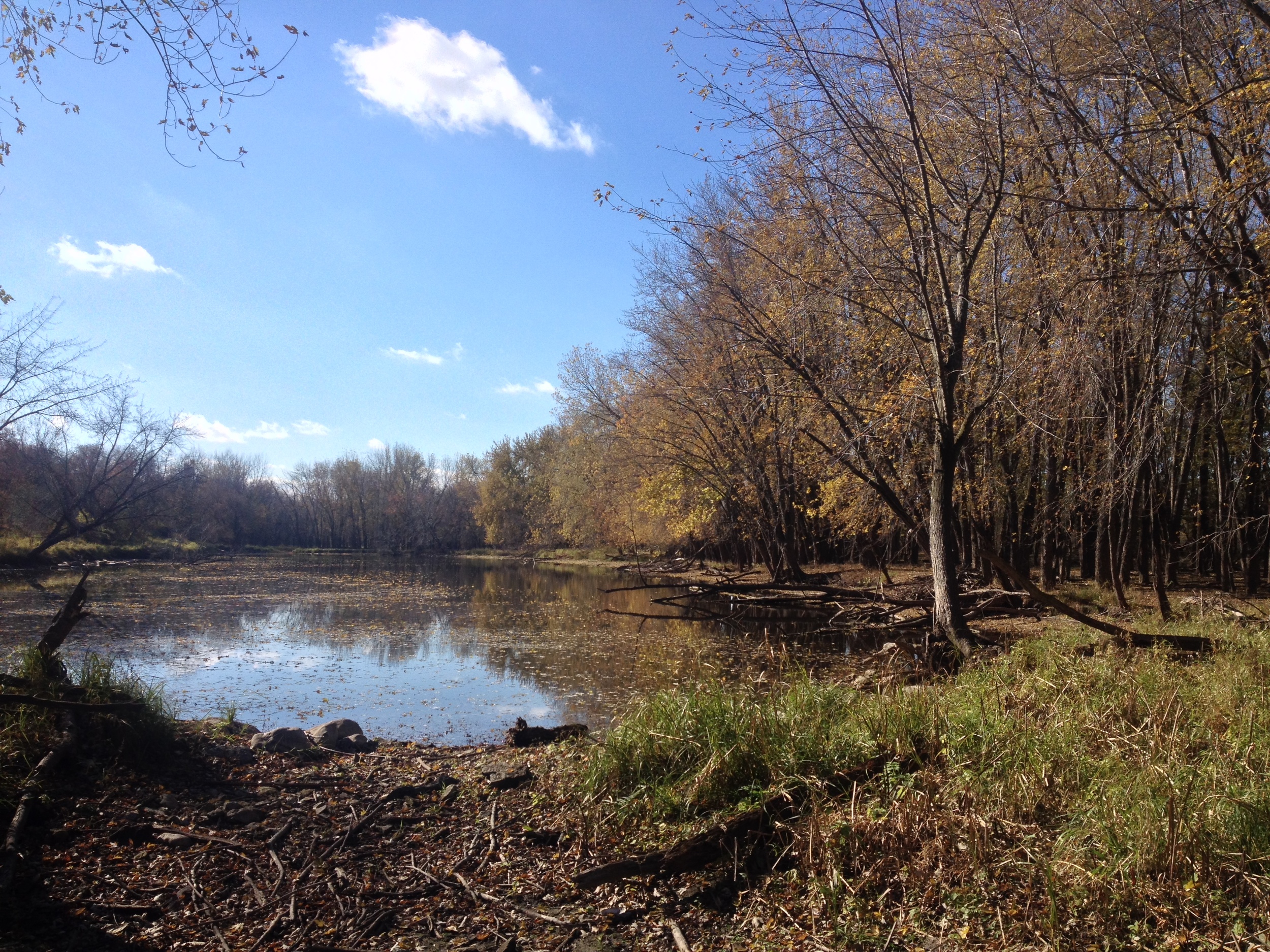
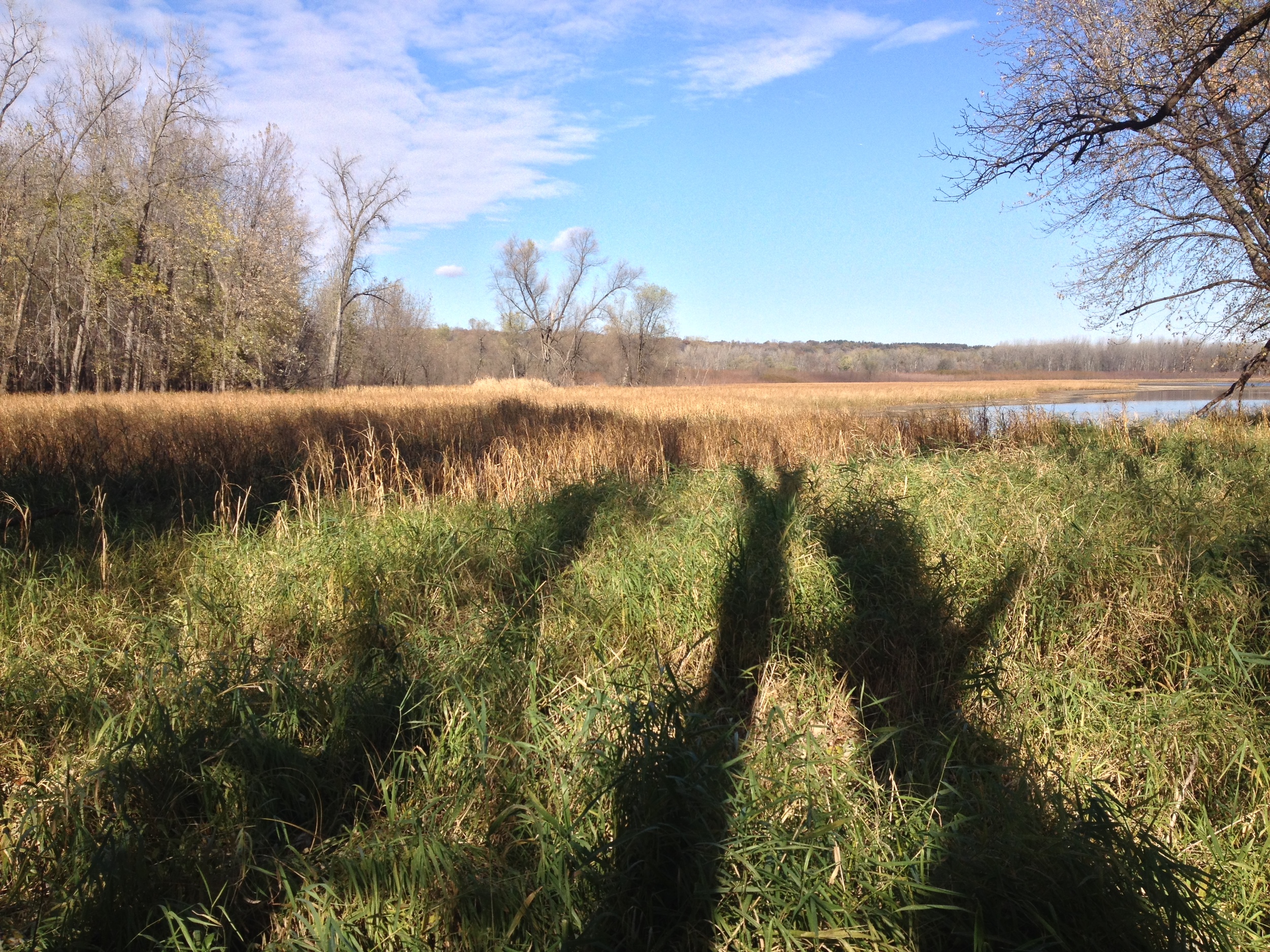
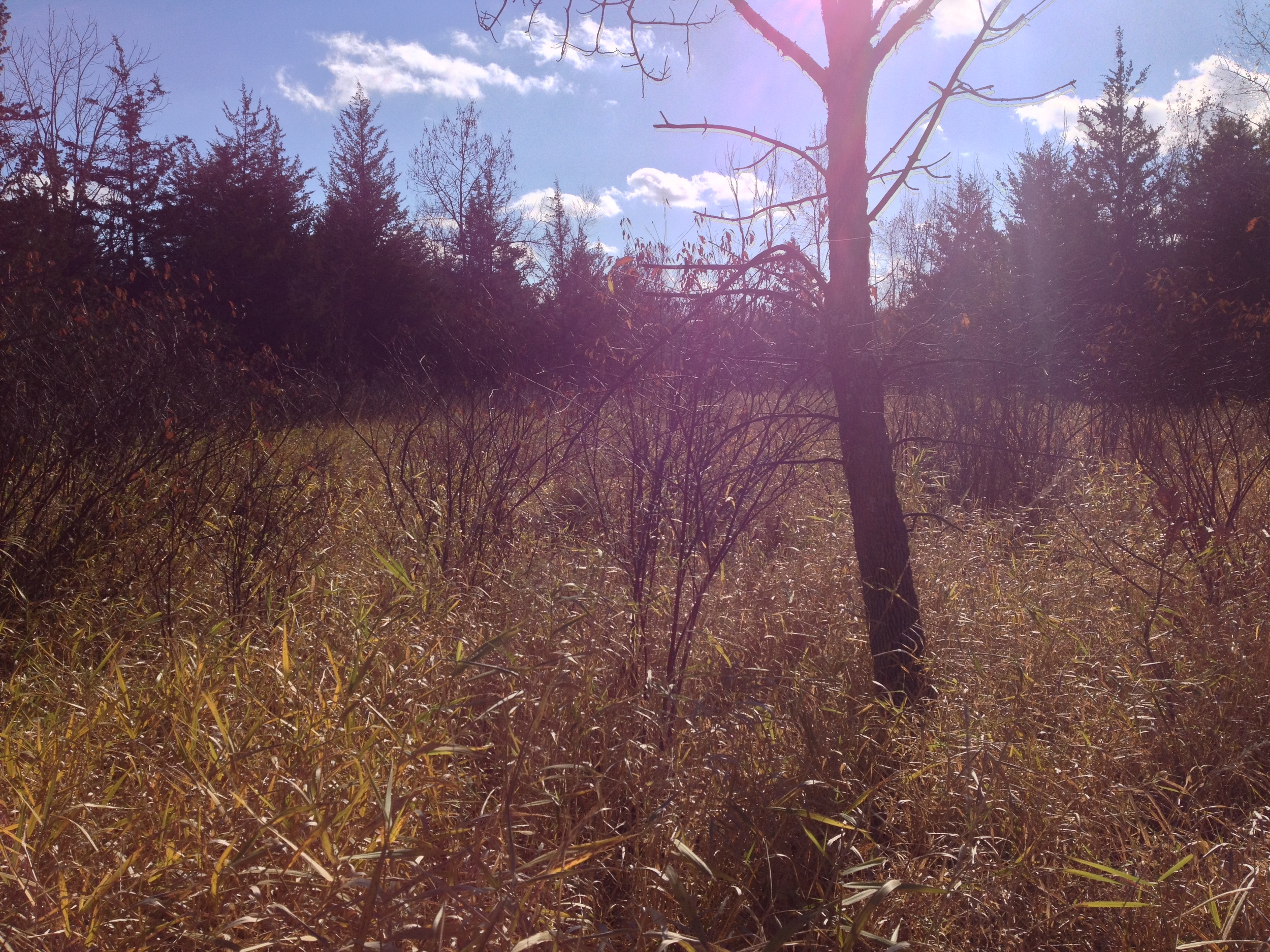
A floodplain in the Minnesota Valley State Recreation Area
The Park: Minnesota Valley State Recreation Area is made up of seven distinct units running along the Minnesota River from Shakopee to Belle Plaine. About half are run by the DNR and the others by the Fish and Wildlife Service, but the Minnesota Valley State Trail runs through the entire thing and creates a long, cohesive park. The Hiking Club Trail is in the Lawrence Unit near Belle Plaine, named after the failed Lawrence settlement. The park contains a number of abandoned buildings and many other signs of previous habitation including gravestones and ruins. There is also camping available at the Lawrence Unit.
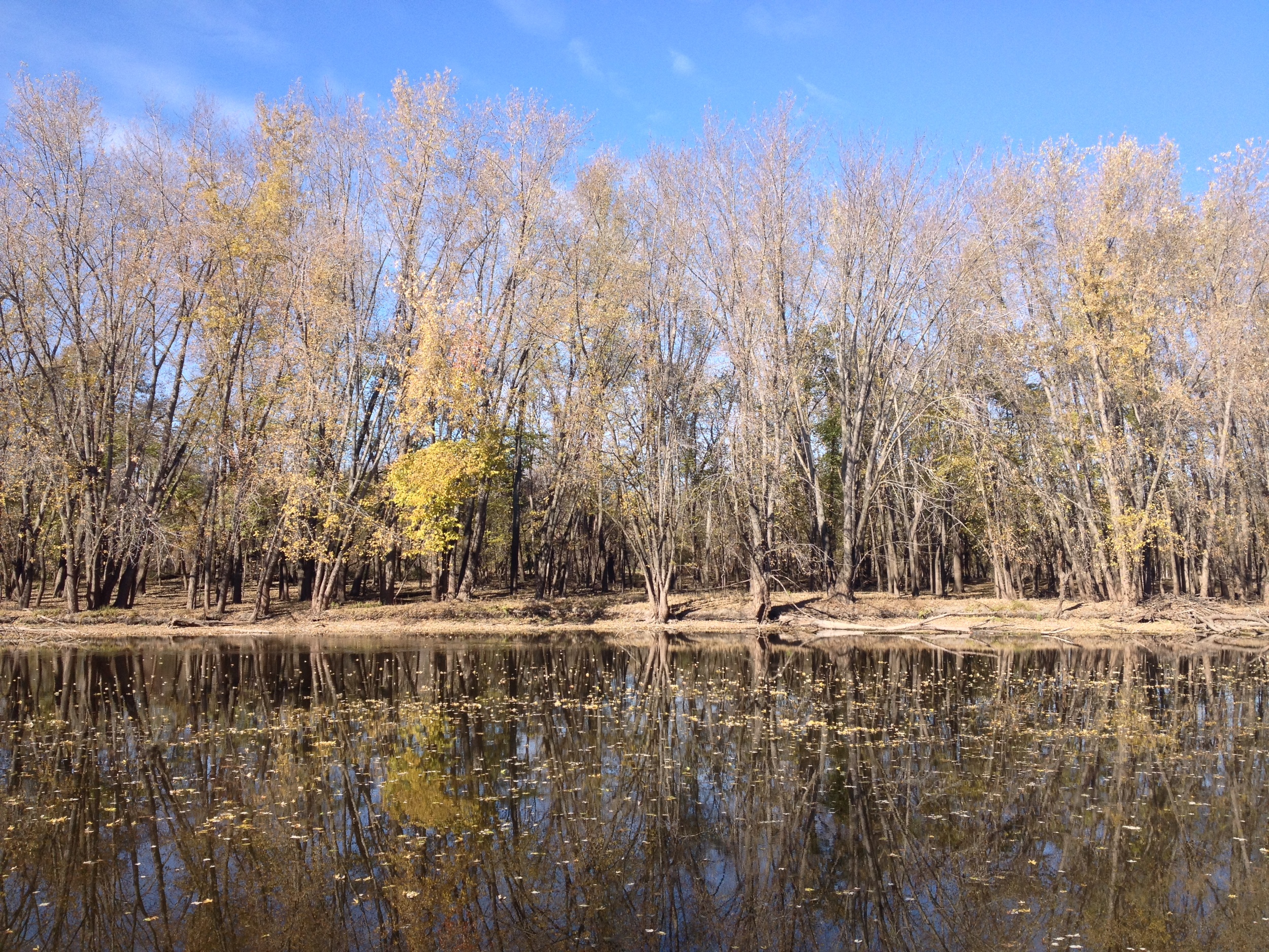
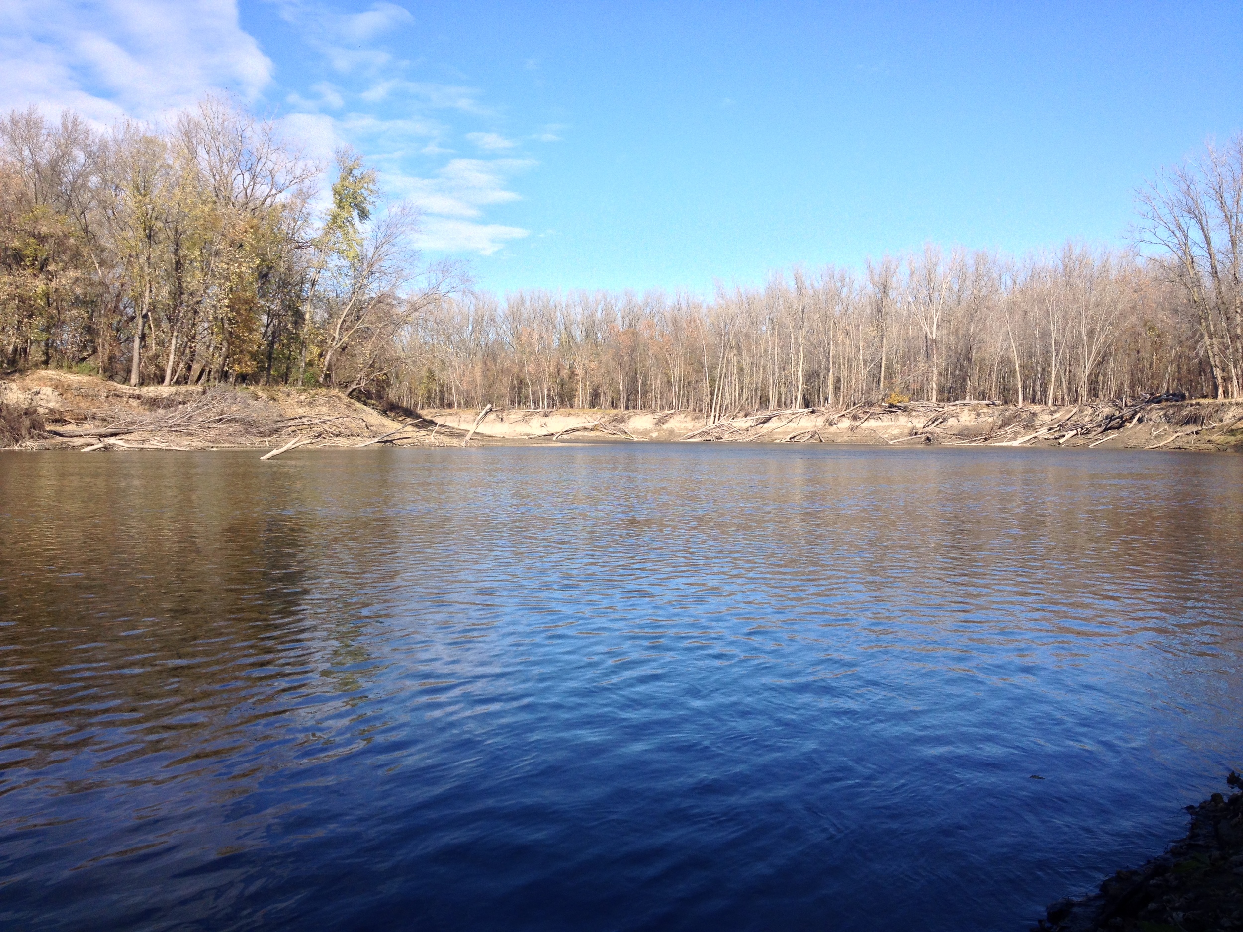
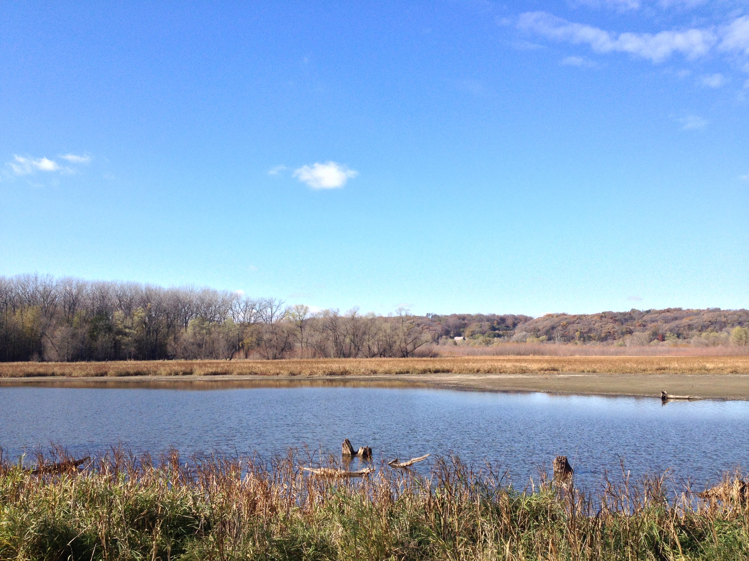
The Minnesota River flowing through the Minnesota Valley State Recreation Area
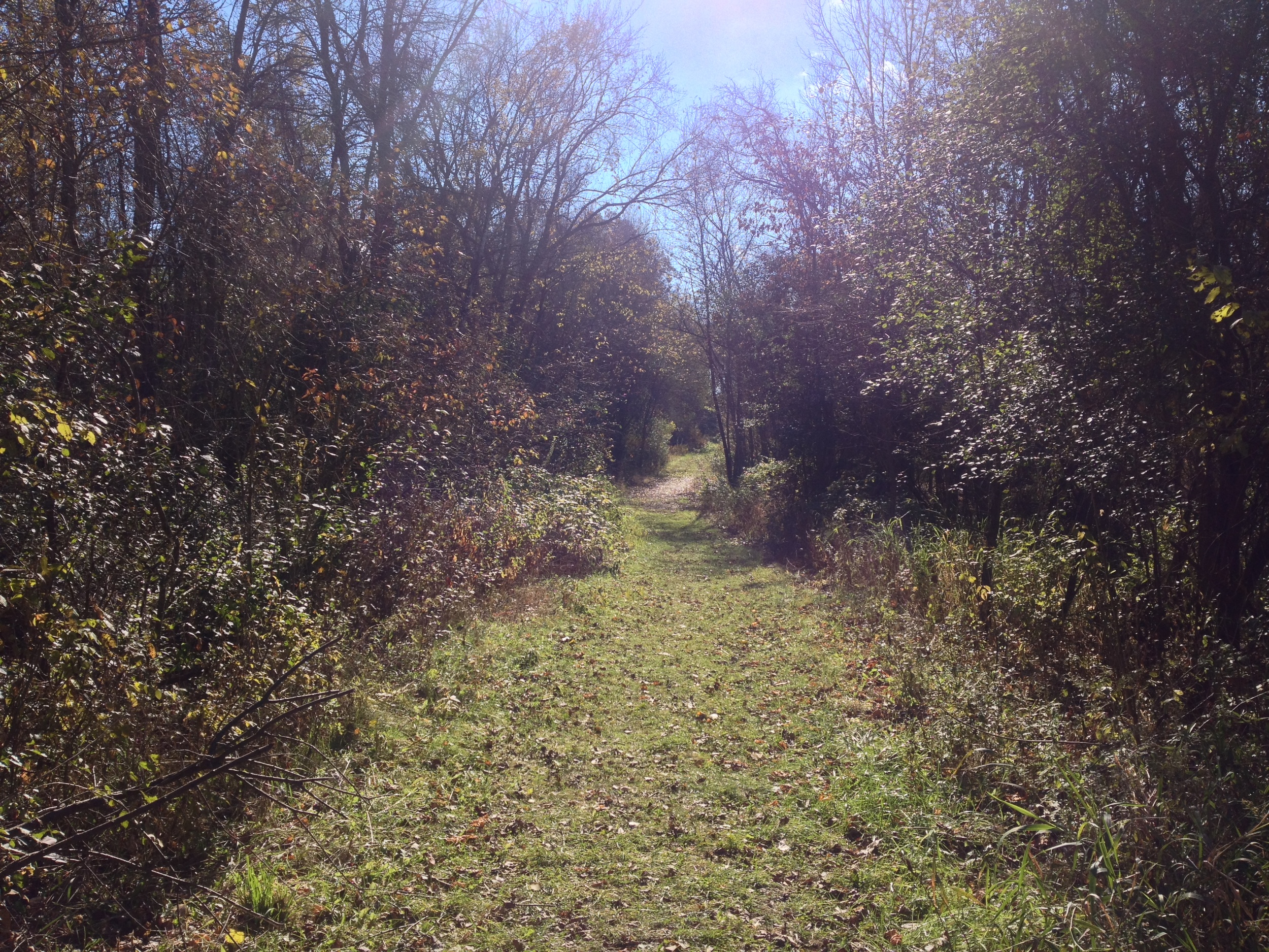
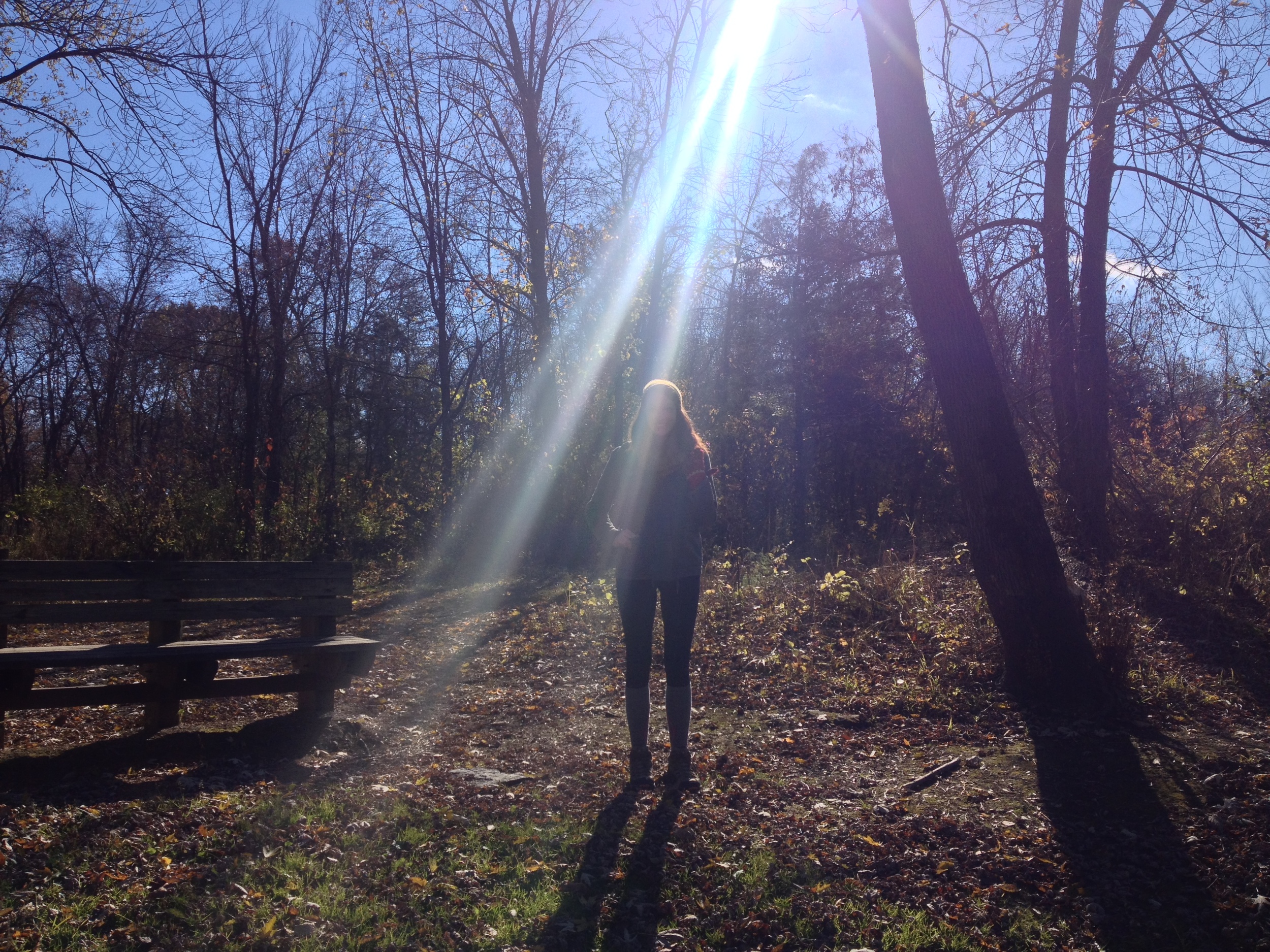
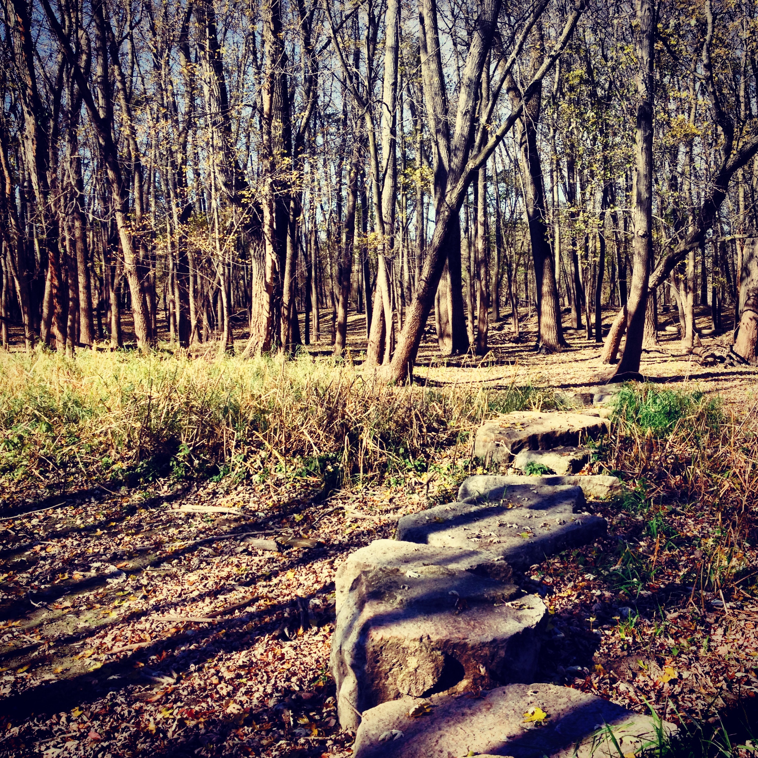
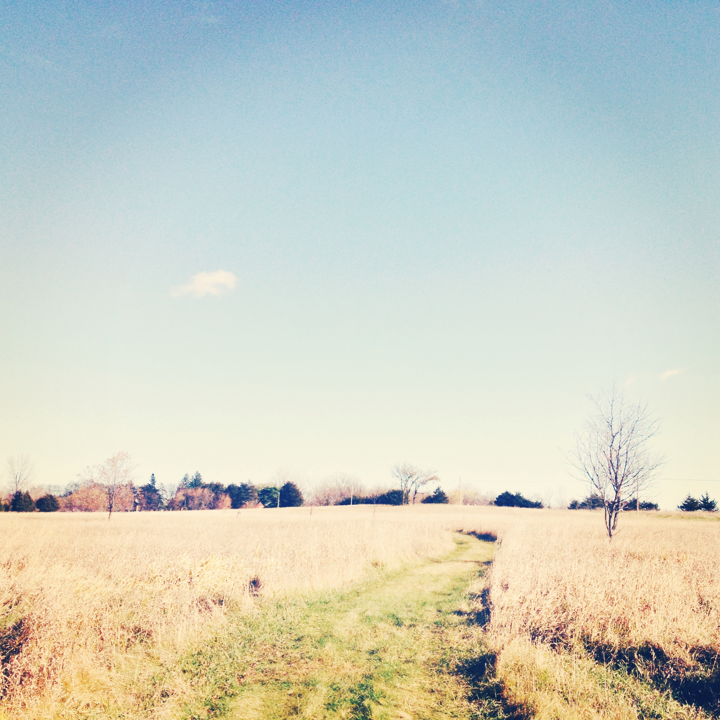
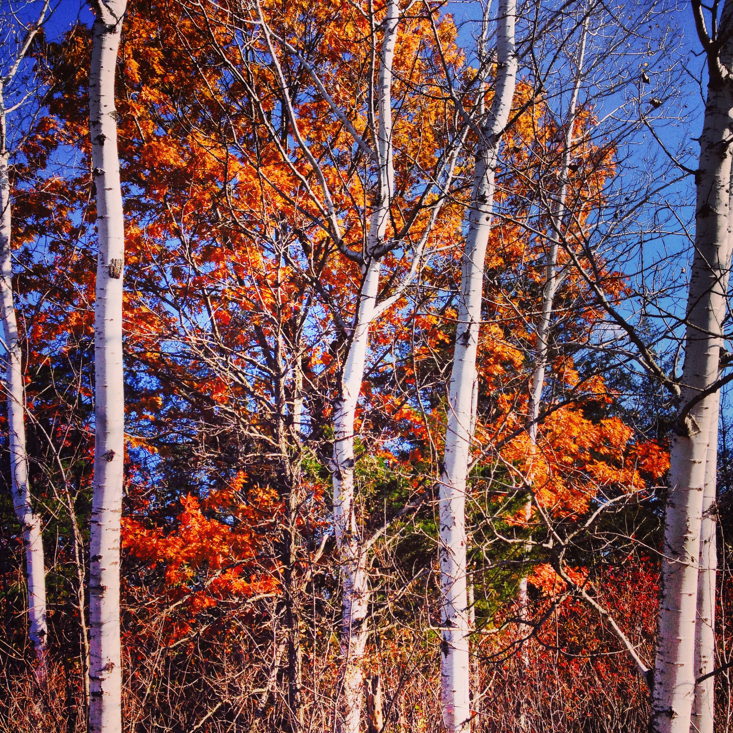
The Trail: The Hiking Club Trail begins at the Lawrence Unit parking lot. The trail runs parallel to the river, but you need to take a short spur trail about half a mile in to actually get to the Minnesota Rivers. You'll hike through the flood plains where there is little to no undergrowth, similar to what you would see on Pike Island at Fort Snelling. Be sure to look for the flood lines of the trees - the change in color from the slightly bleached bottom trunks to the untouched upper trunks. It'll give you a sense of just how inundated the trail gets in the spring. About a mile in, you'll emerge from the forest into a valley meadow and head straight toward an abandoned house. In the summer the house is open to the public and interpreted as a museum, but I was there in the fall, so it merely provided a good photo shoot for my sister and me. You'll then cross the road and hike upland through a thick oak/maple forest before circling back to the floodplain.
This hike is fairly generic. The river bottoms never really excite me (probably because I live five minutes from a very similar ecosystem), but it is an easy hike and close to the city. This is one that is worth checking out if you have a free afternoon and are looking to break away from your usual hiking haunts. Finally, don't forget to stop at Minnesota's Largest Candystore in Jordan - you need to replace all those burned calories.
Cumulative Miles Hiked: 52
Cumulative Miles Driven: 2258
Arbitrary Rating: 3/5
Biome: Eastern Broadleaf Forest
