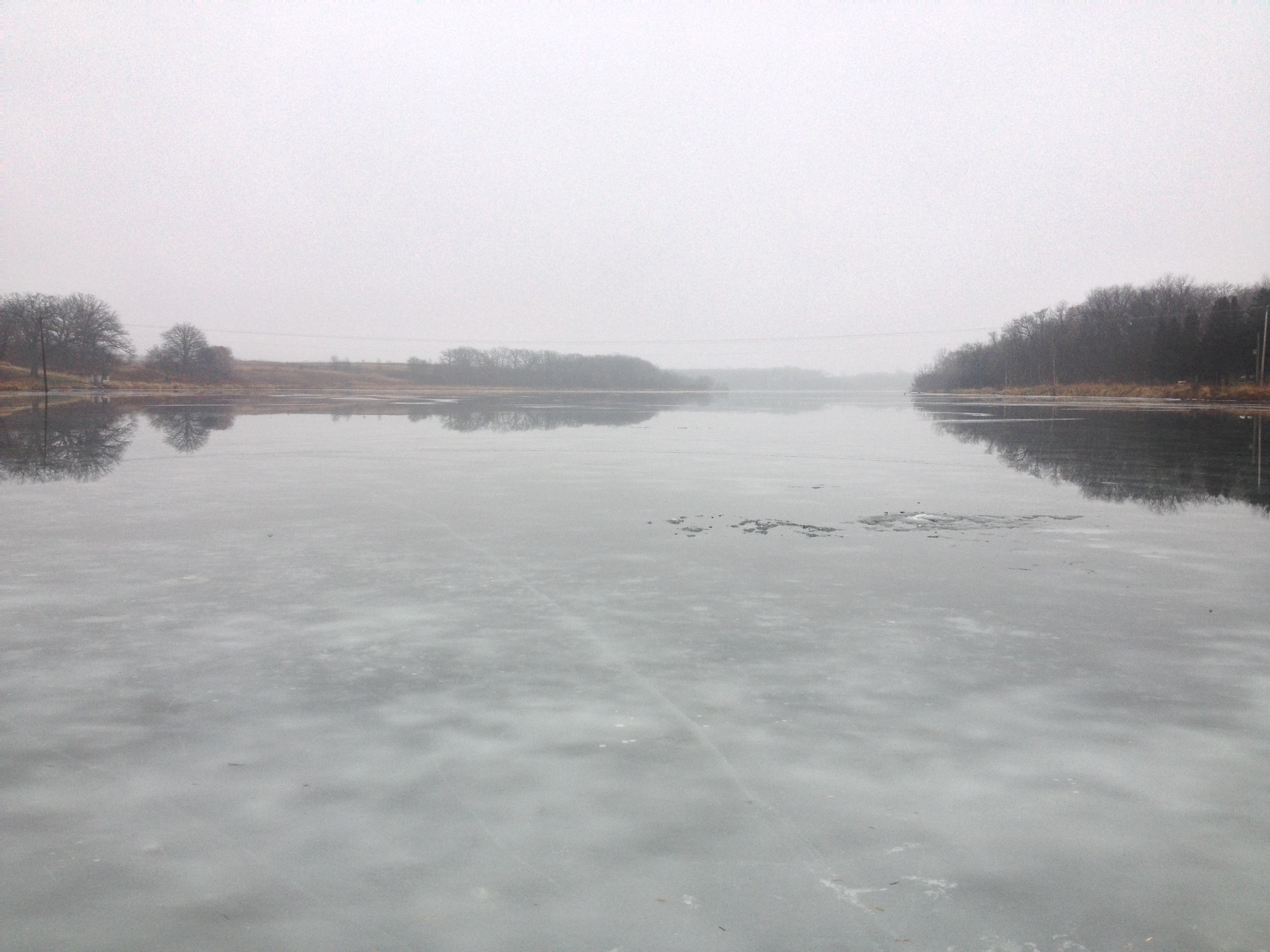
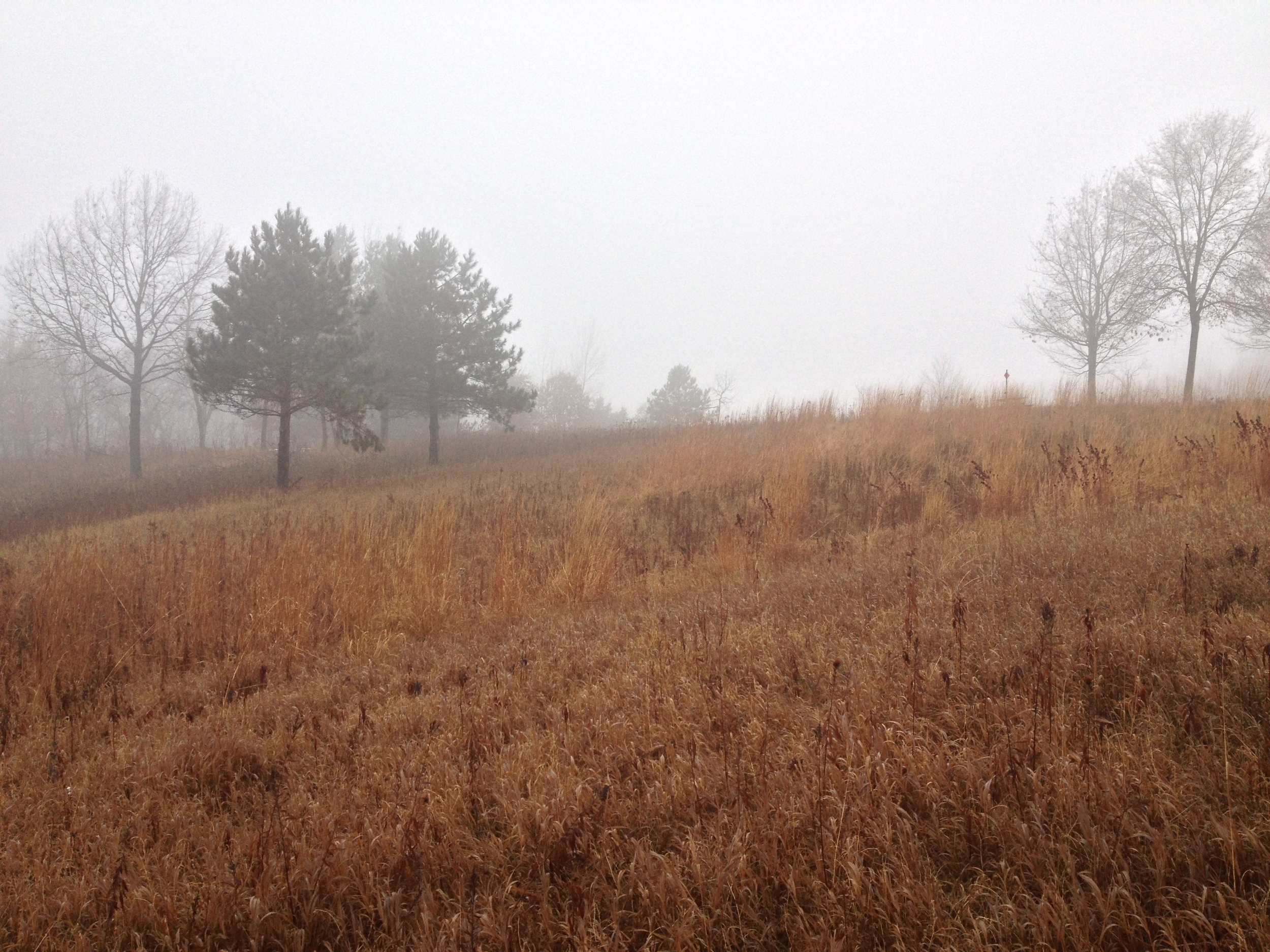
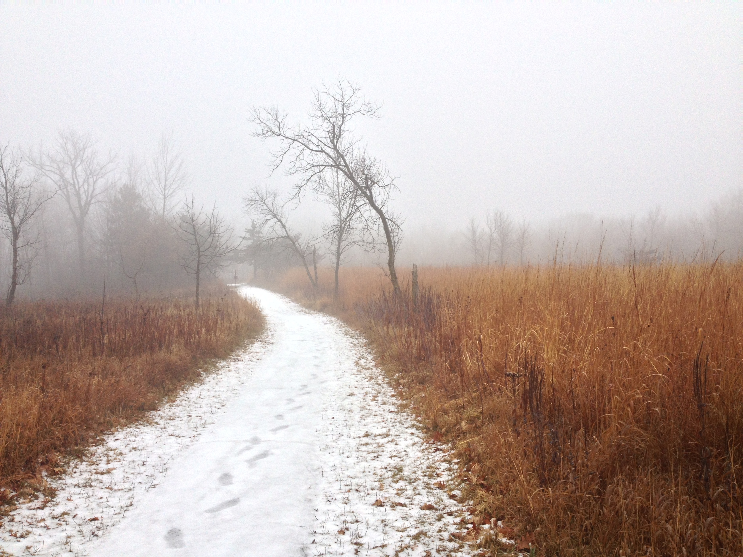
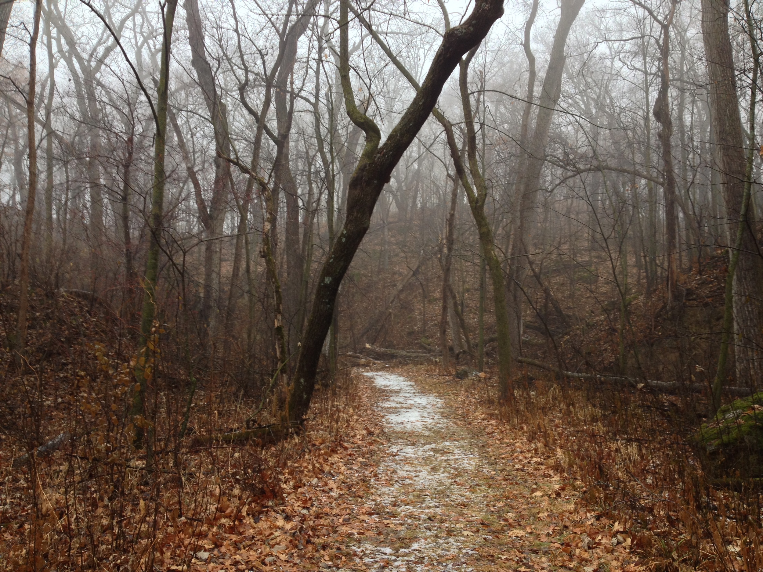
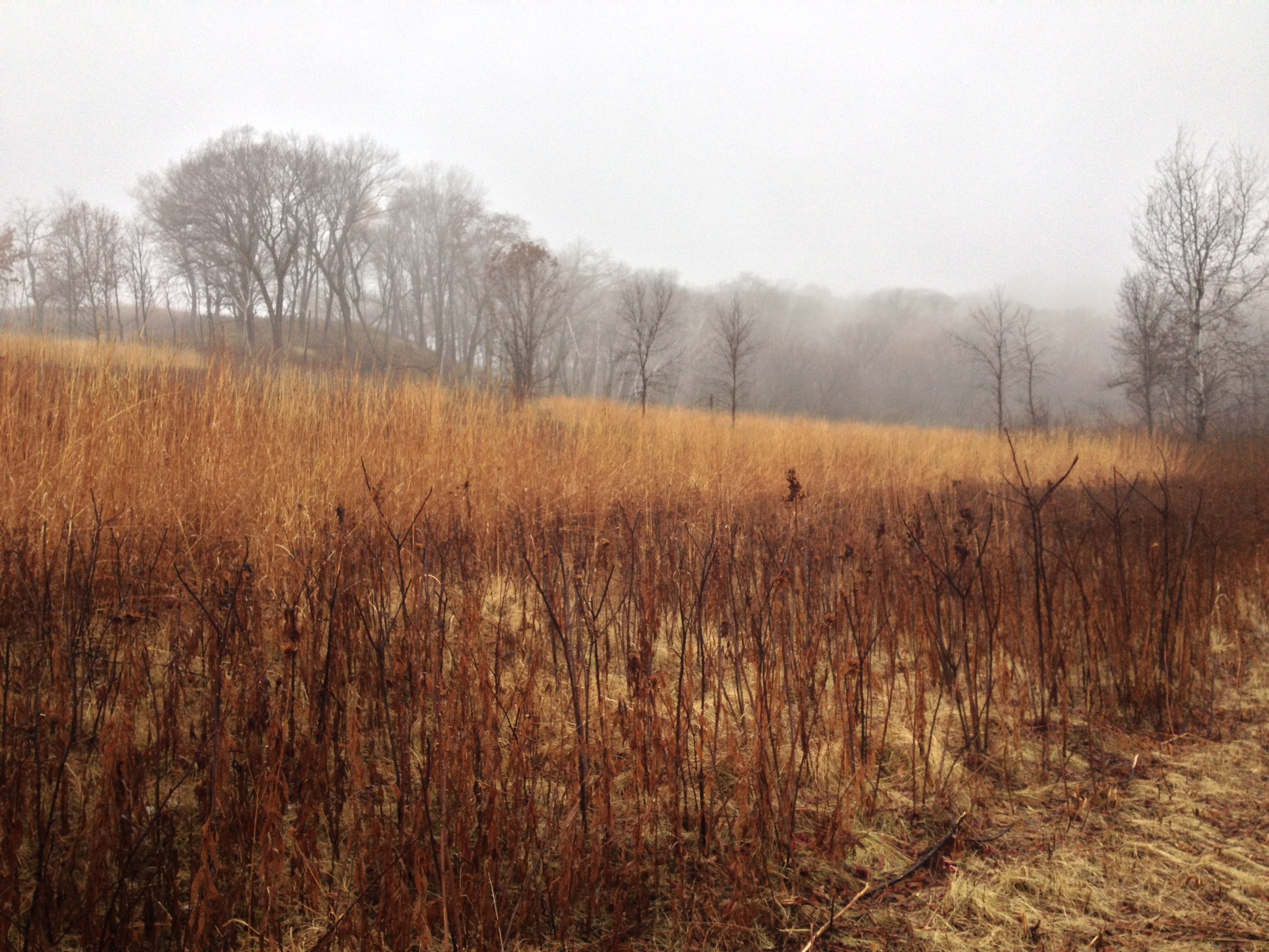
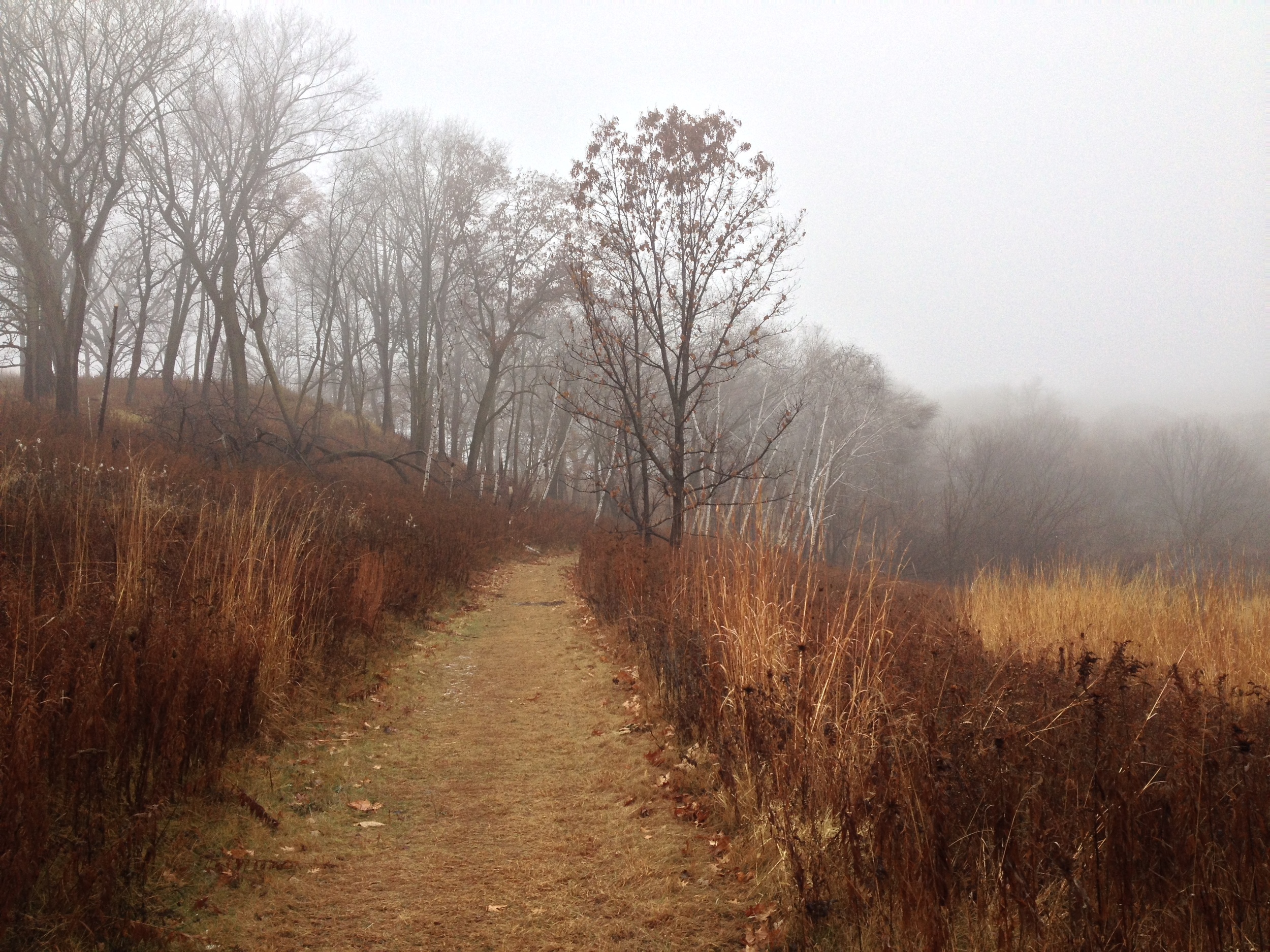
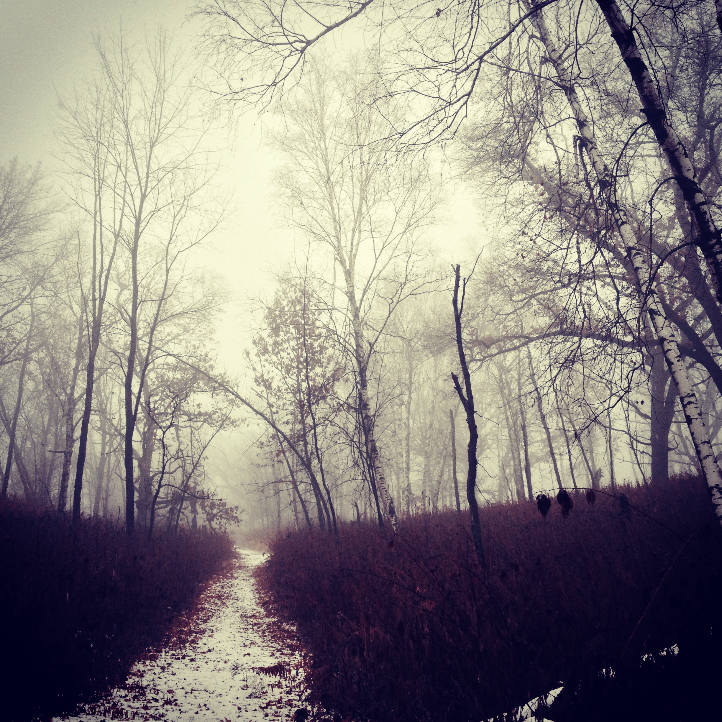
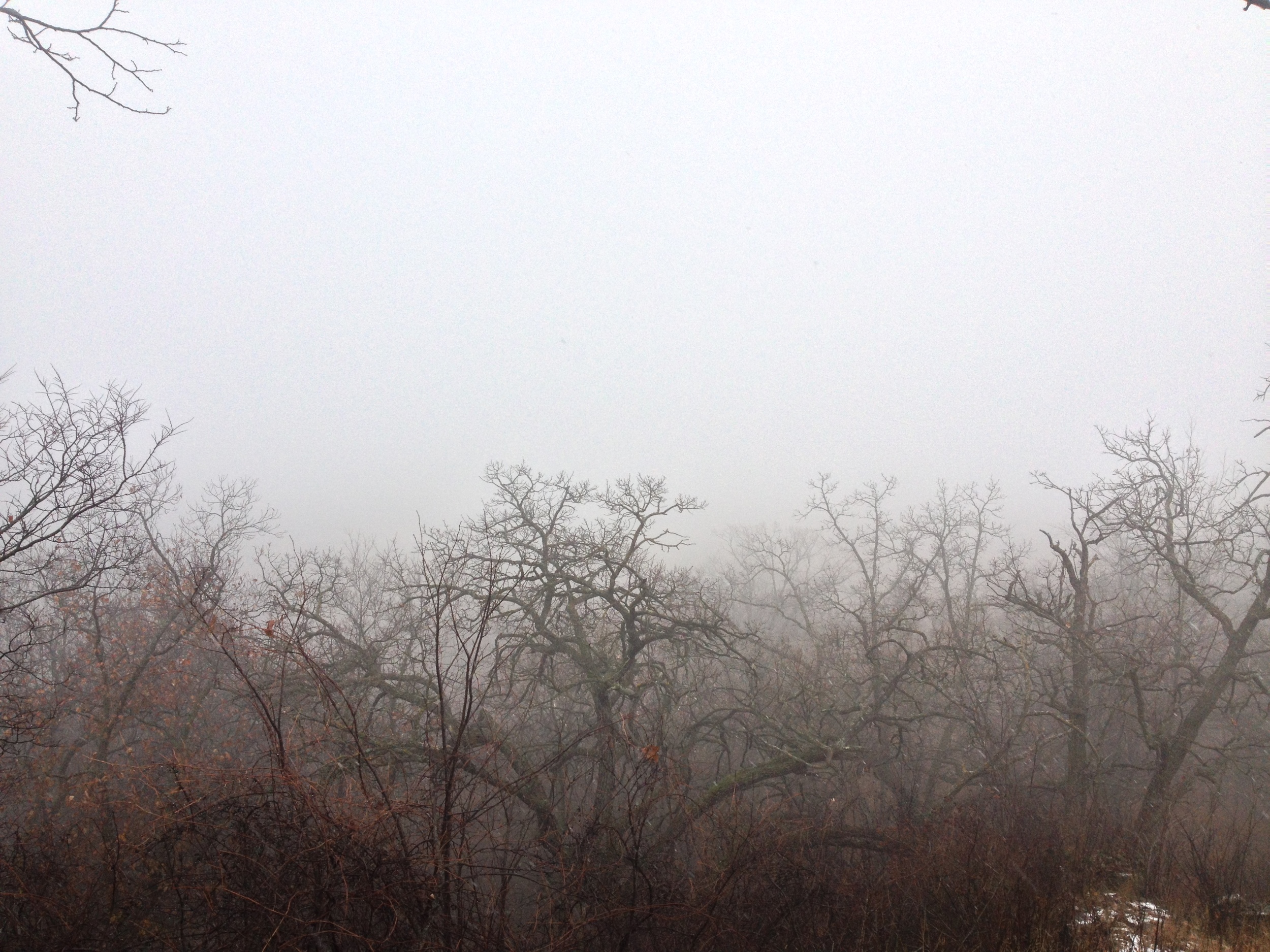
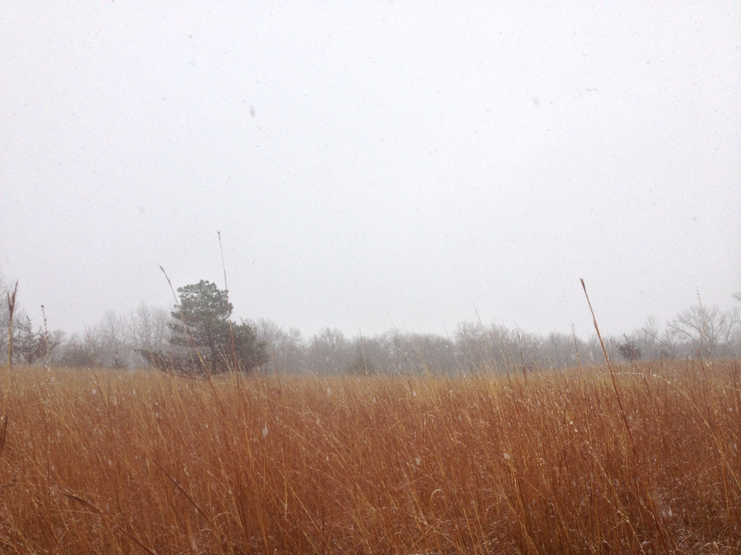
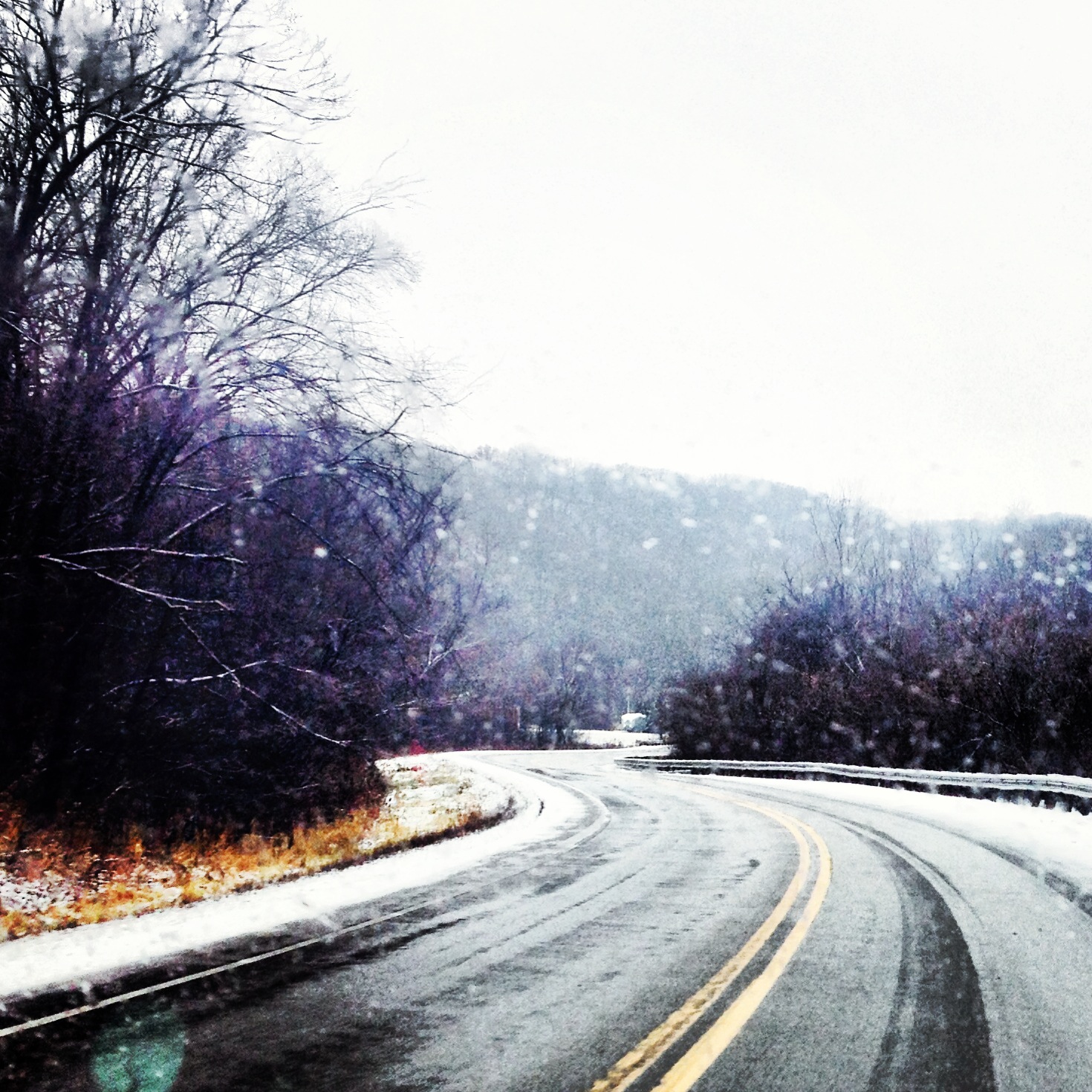
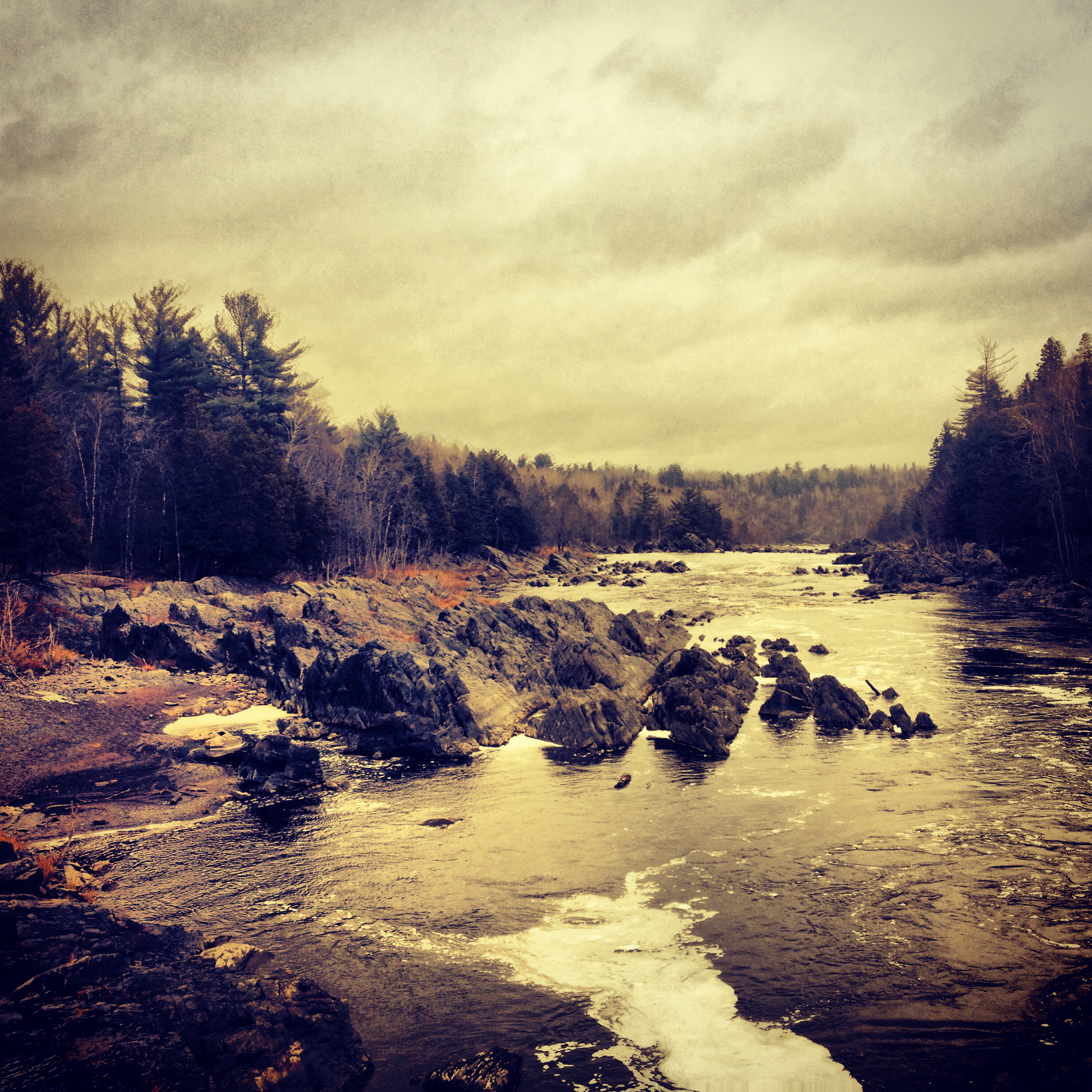
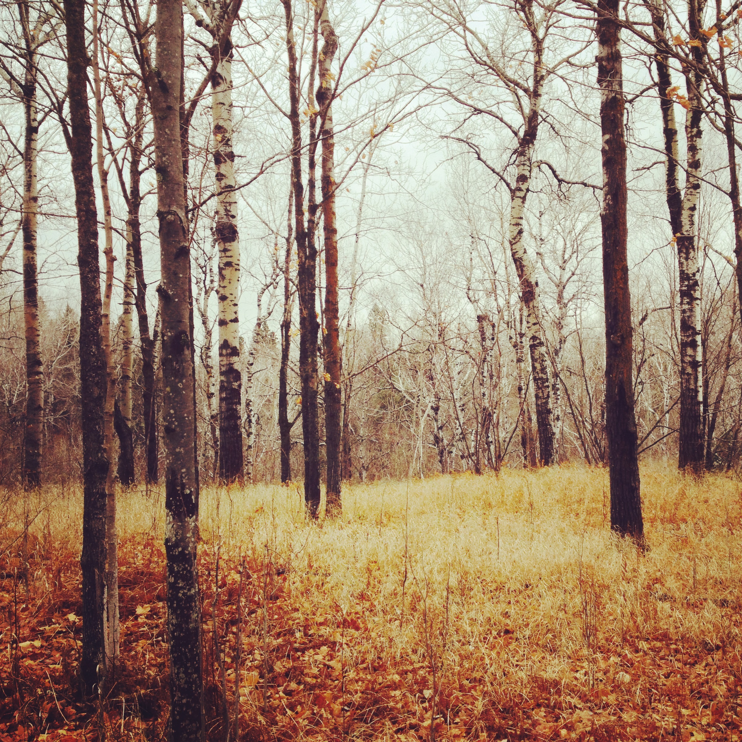
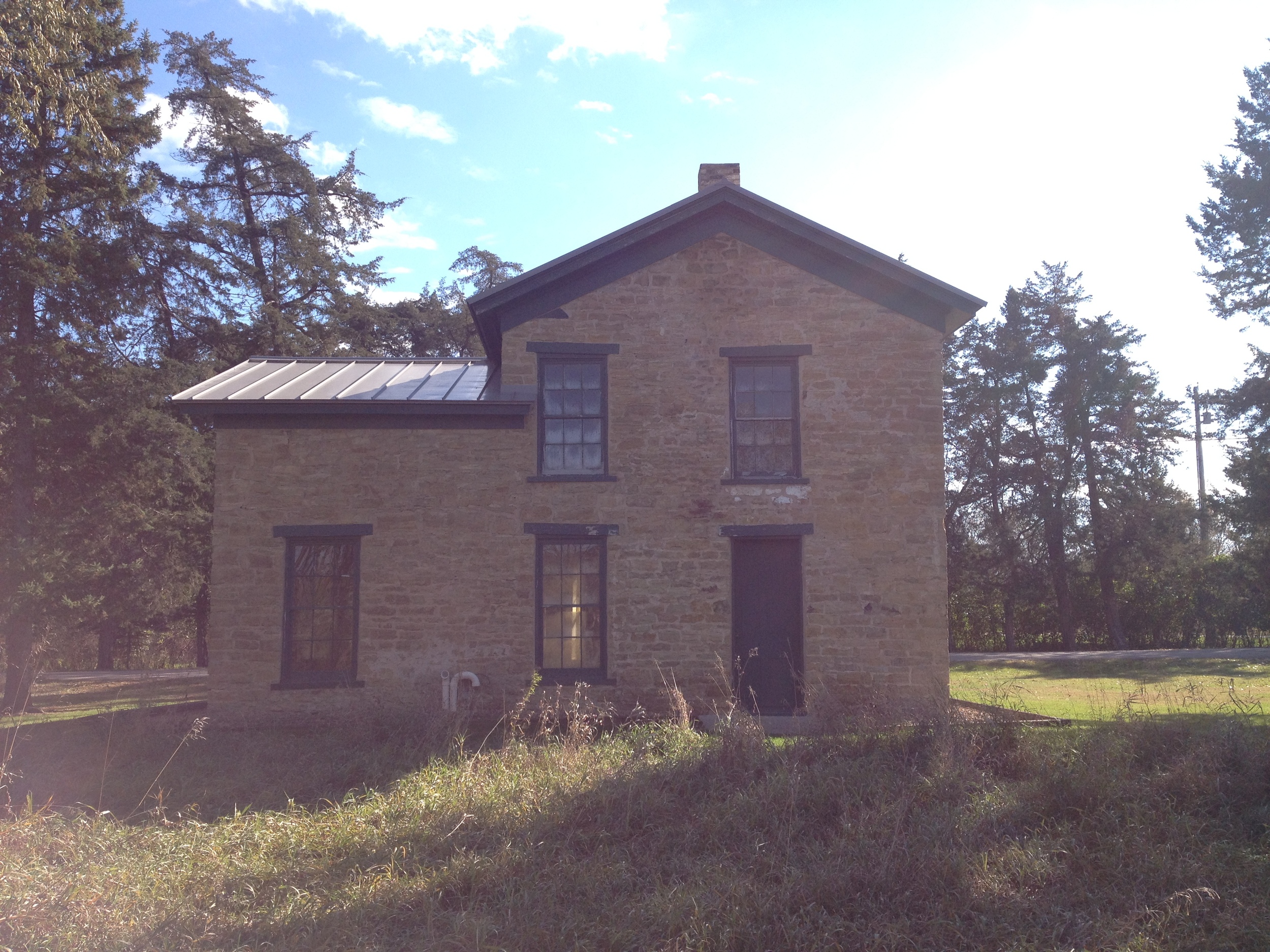
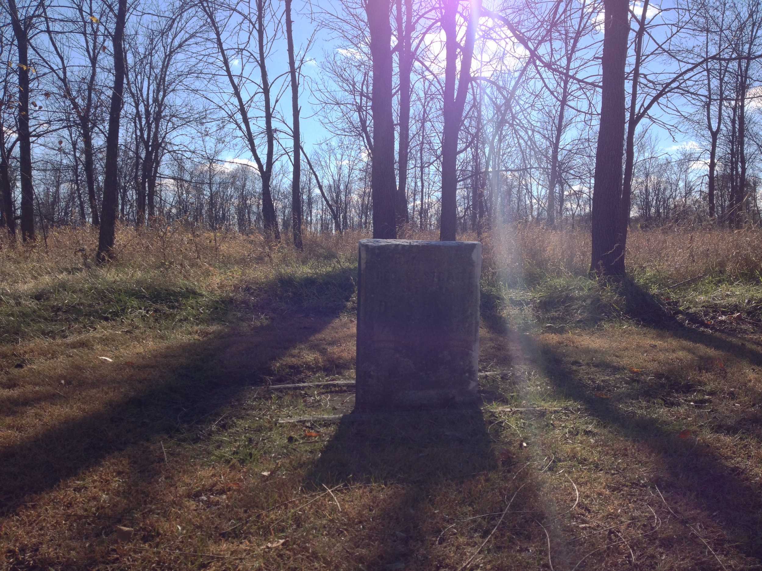
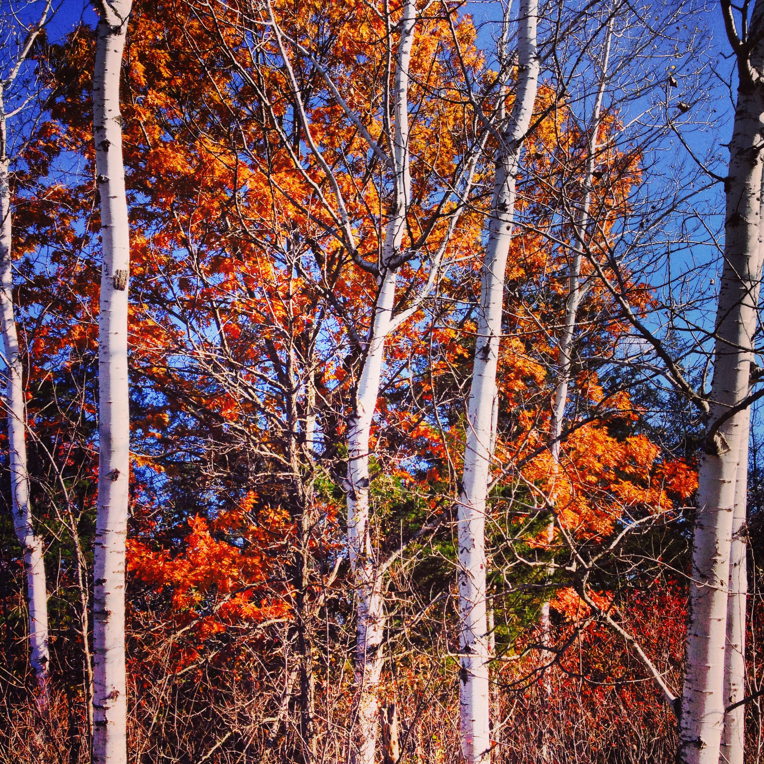
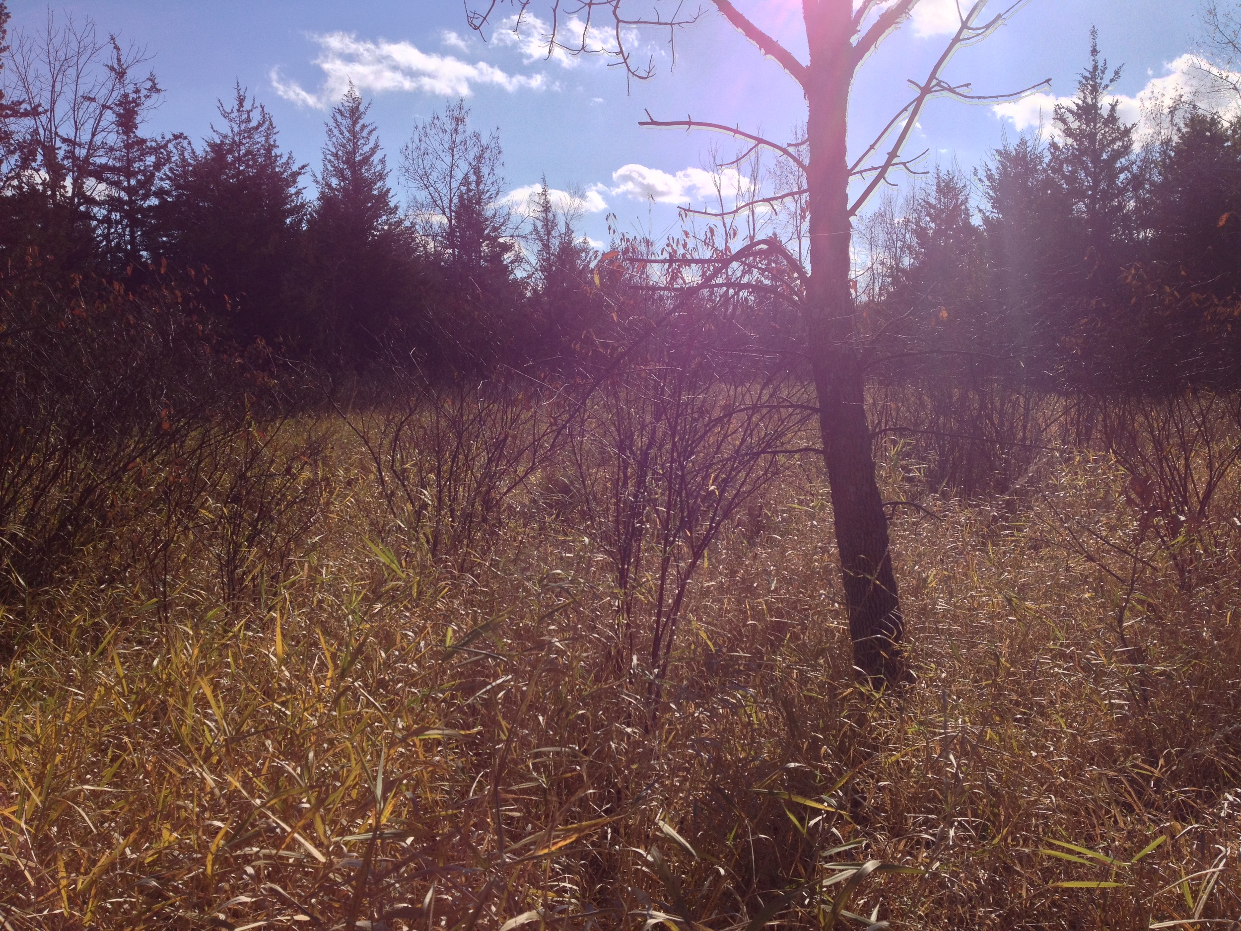
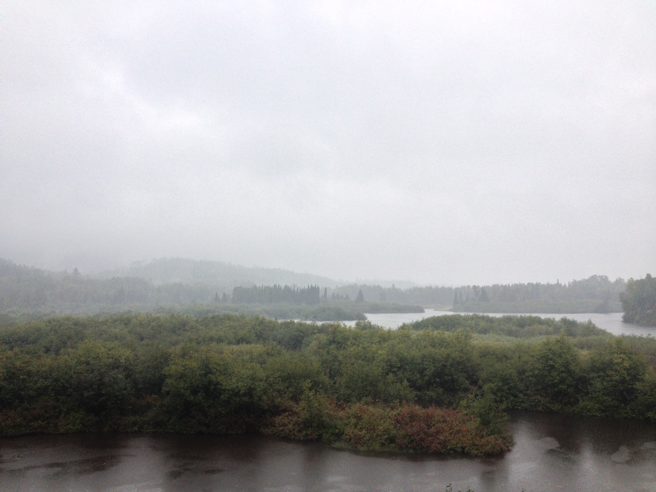
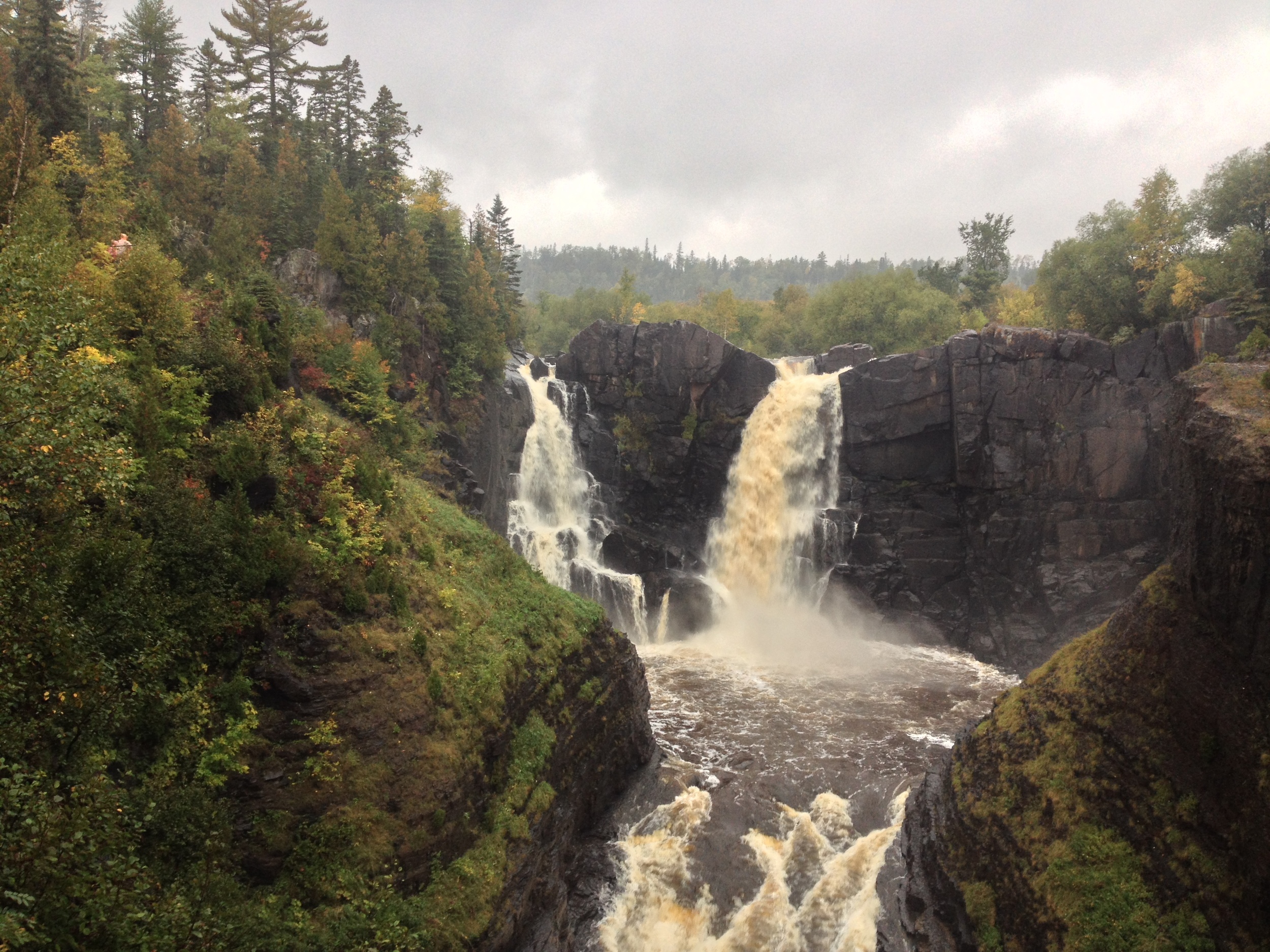
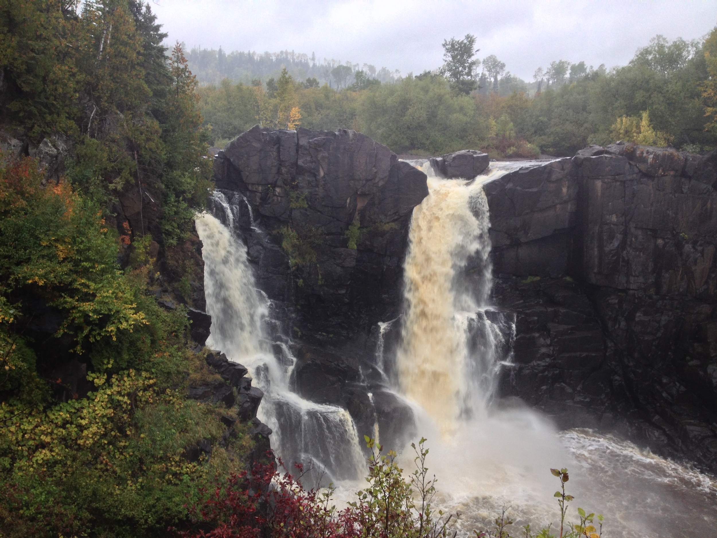
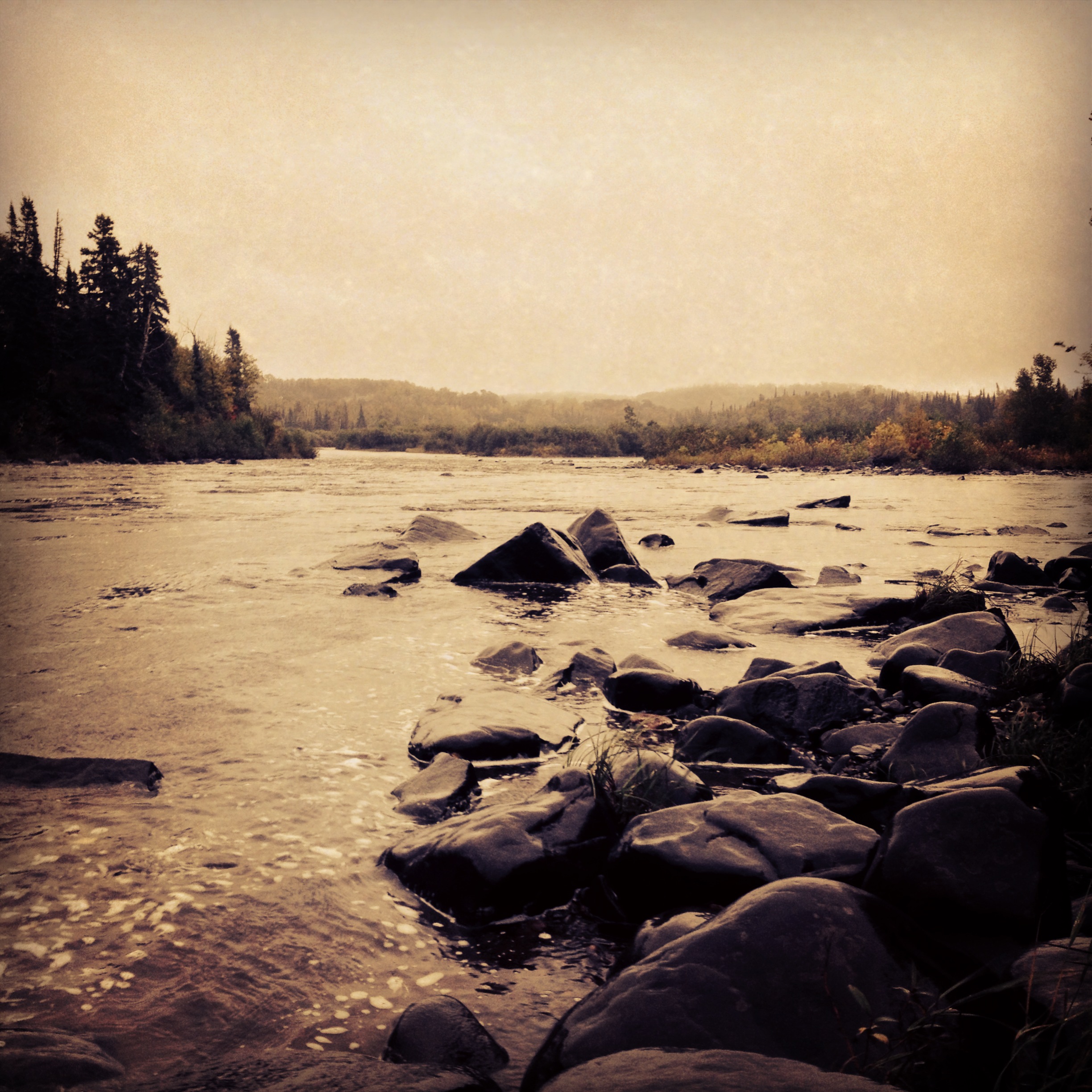
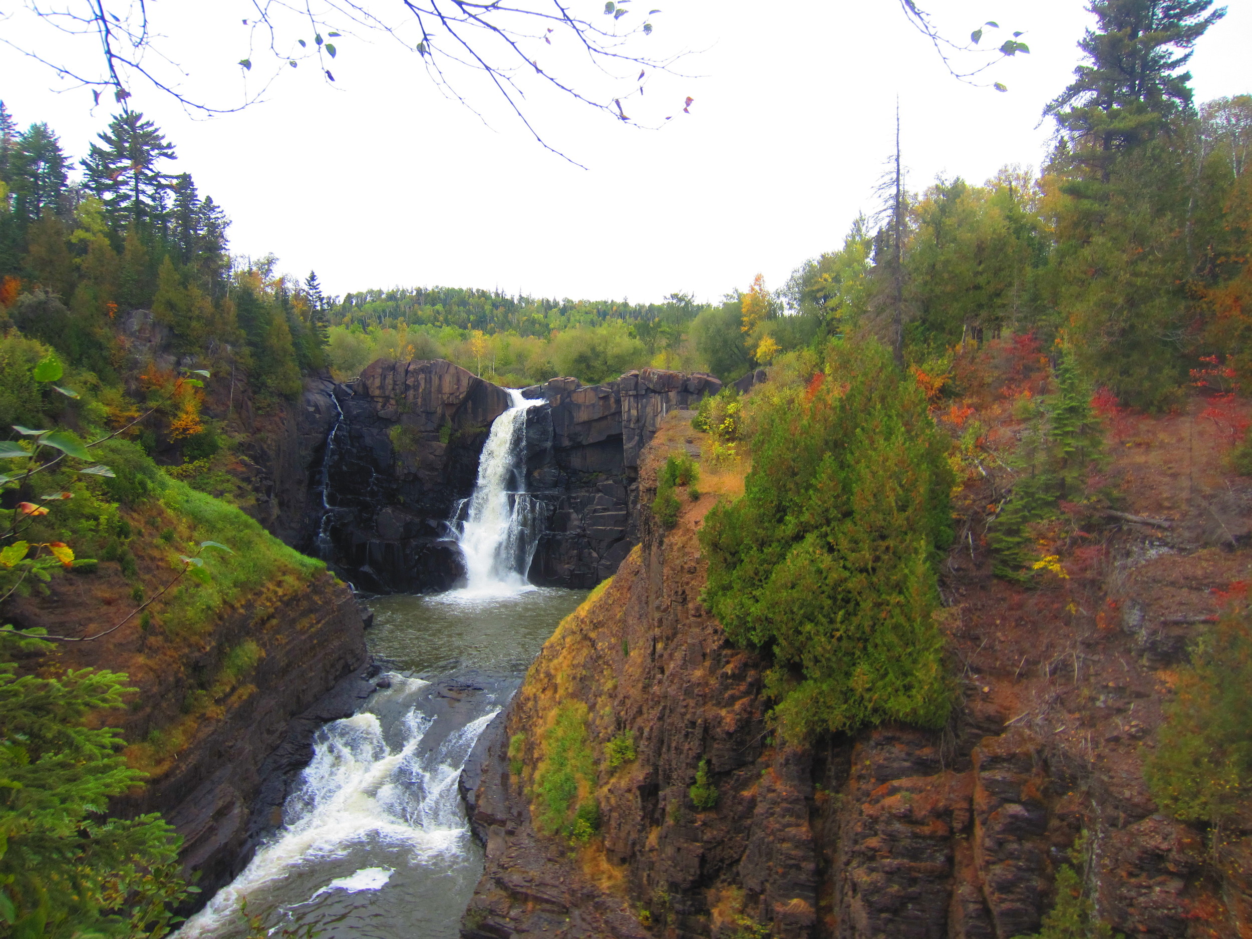
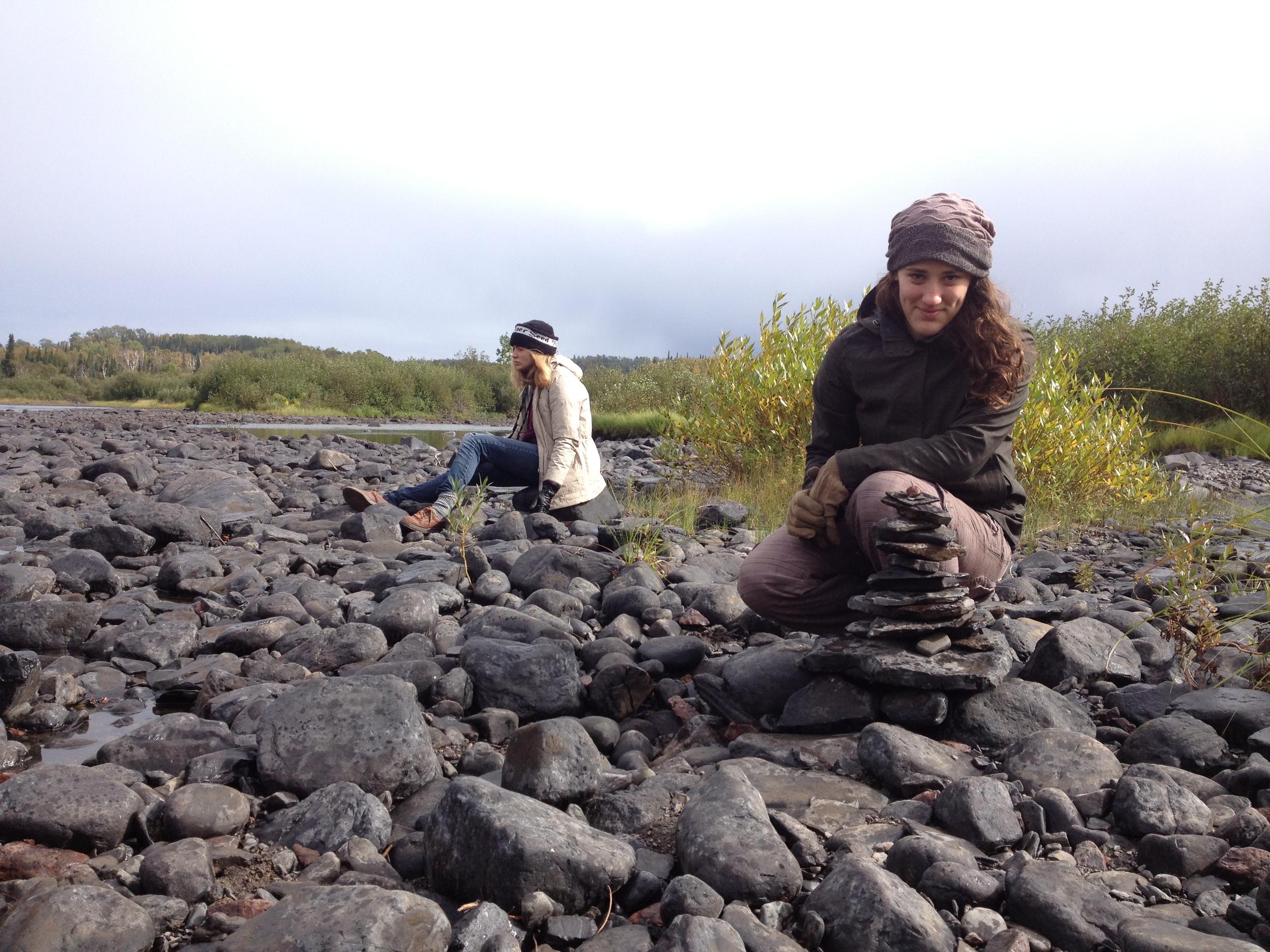
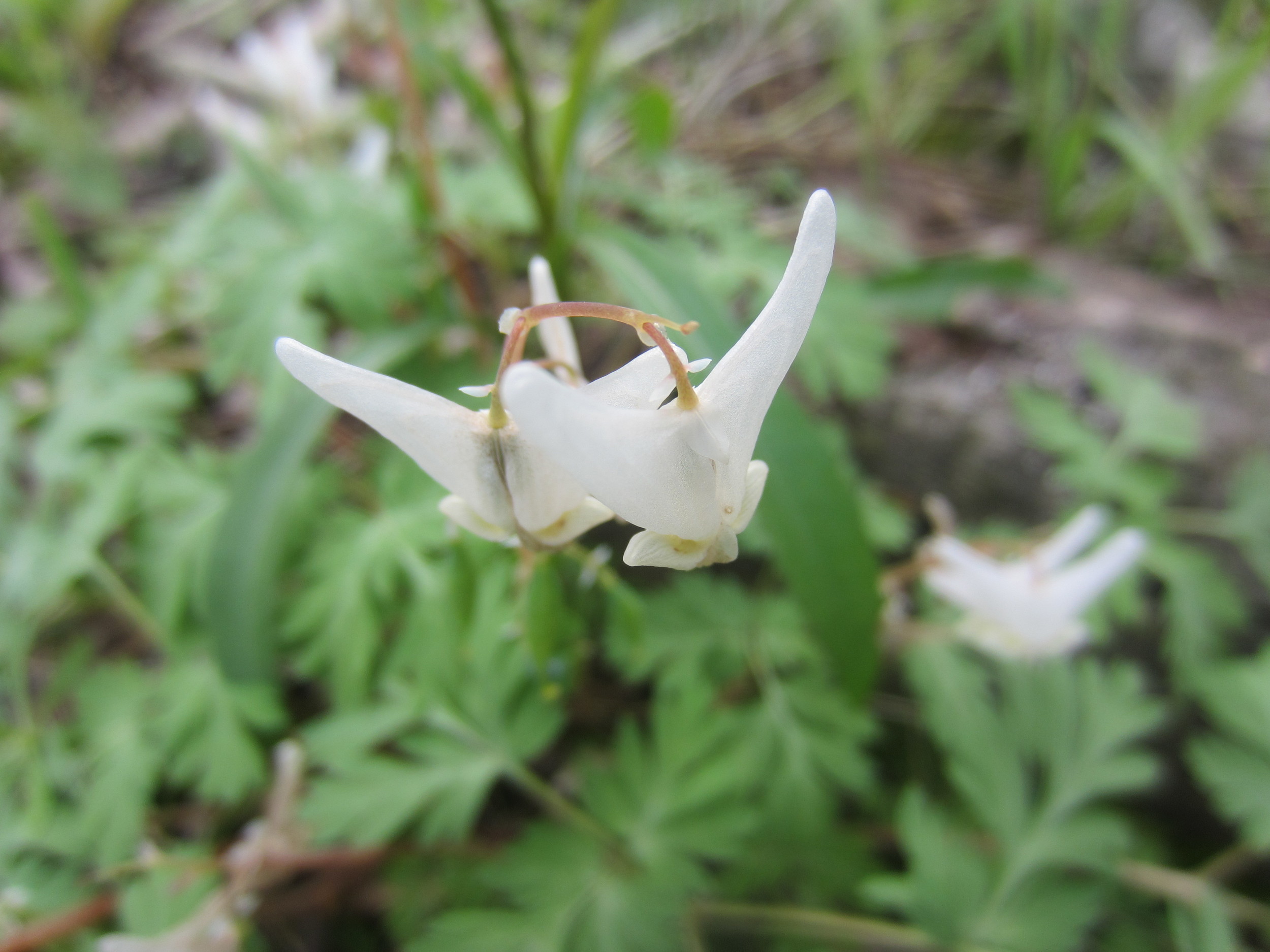
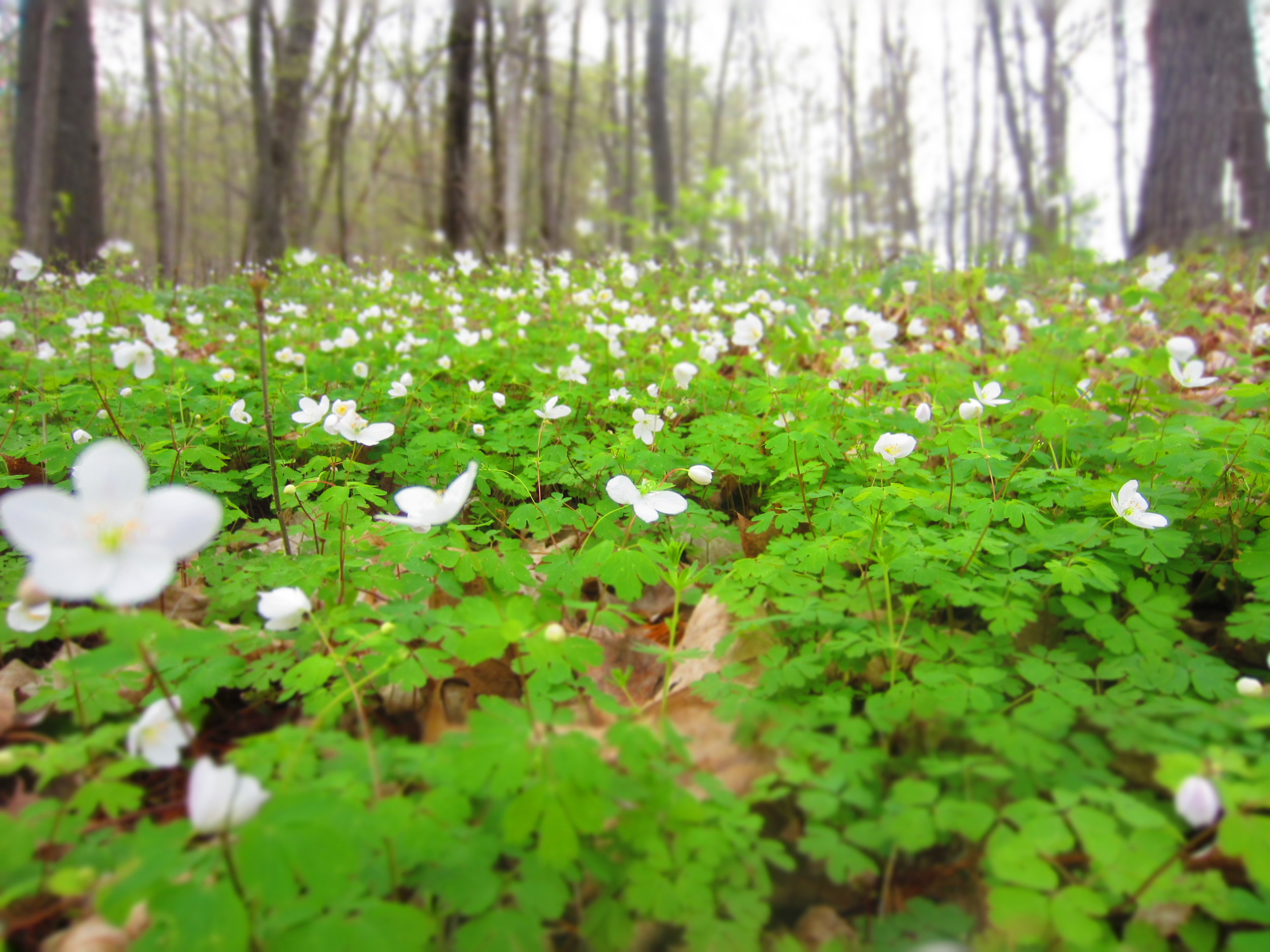
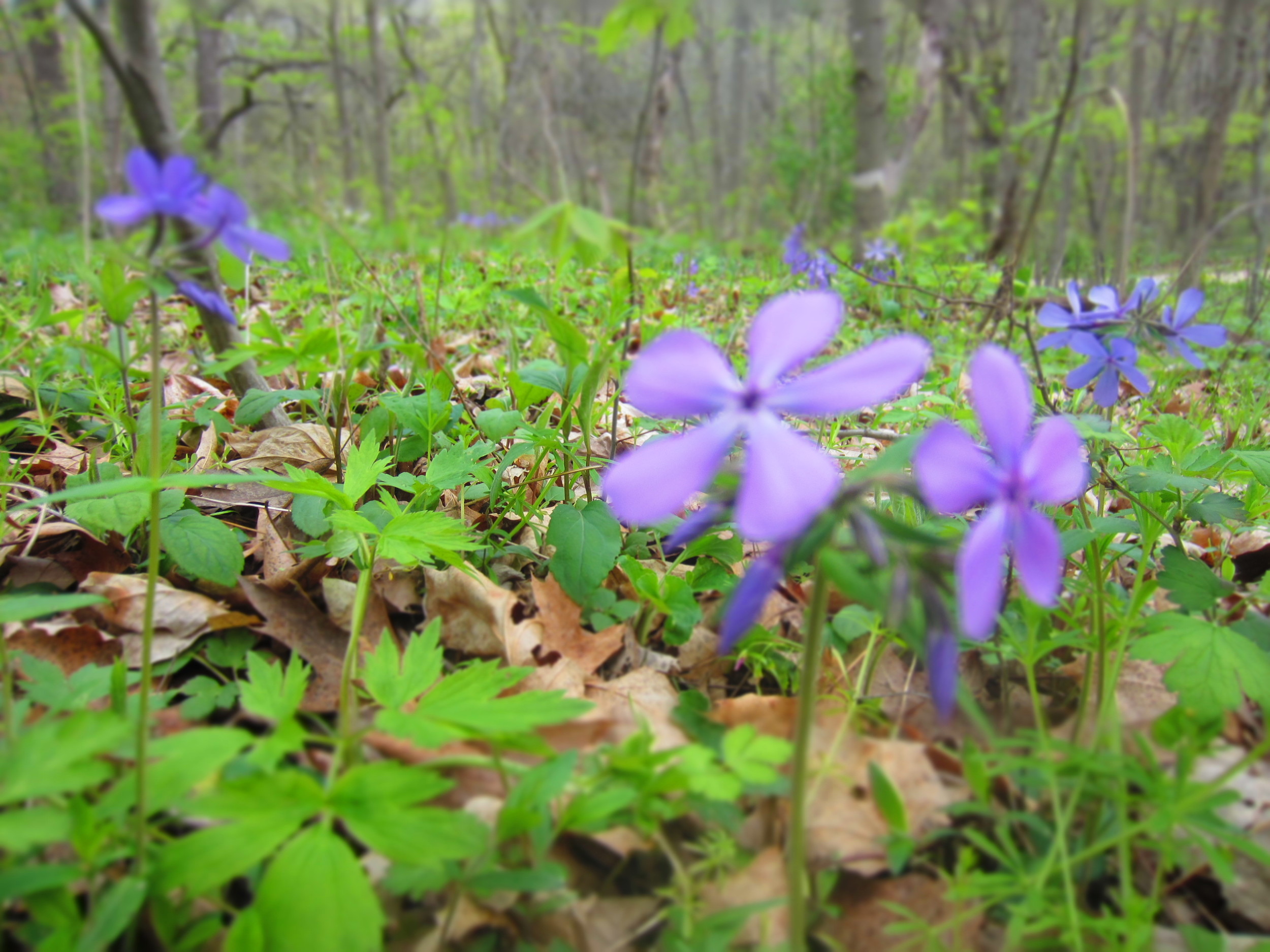
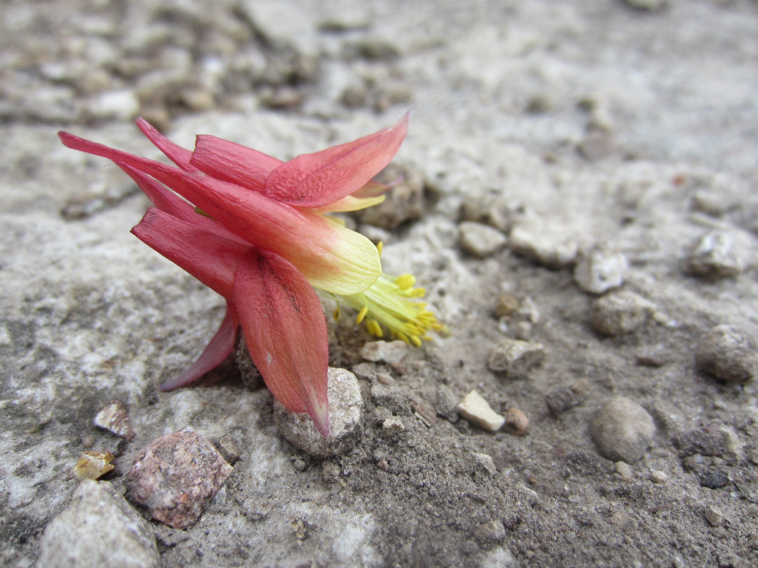
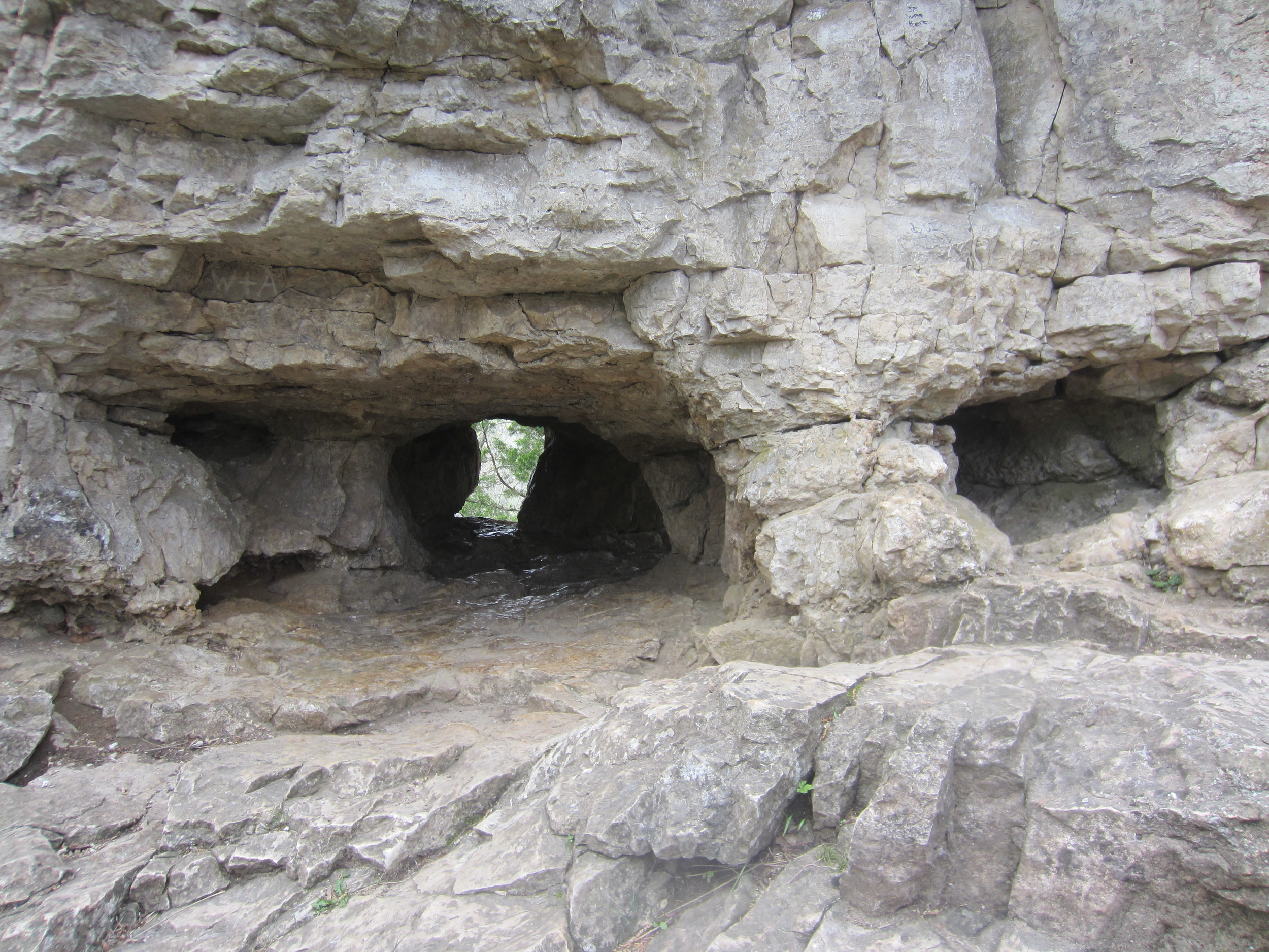
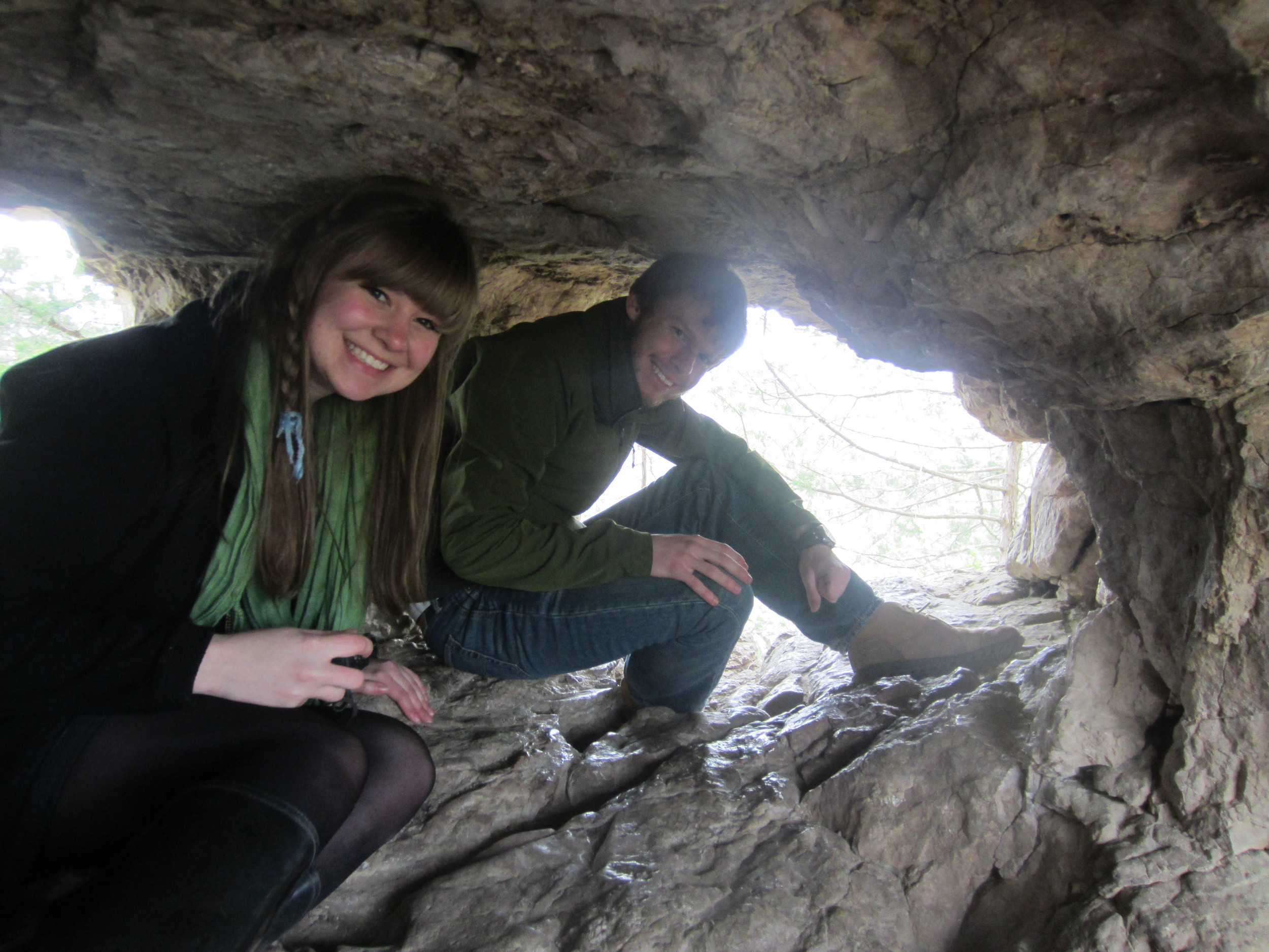
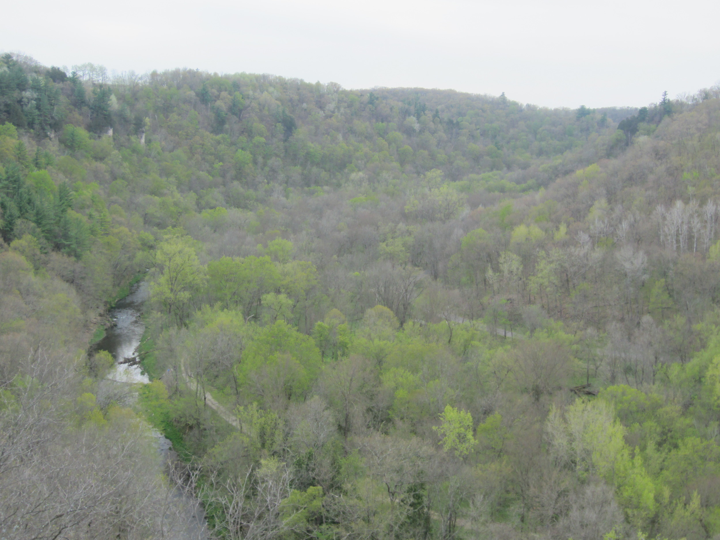
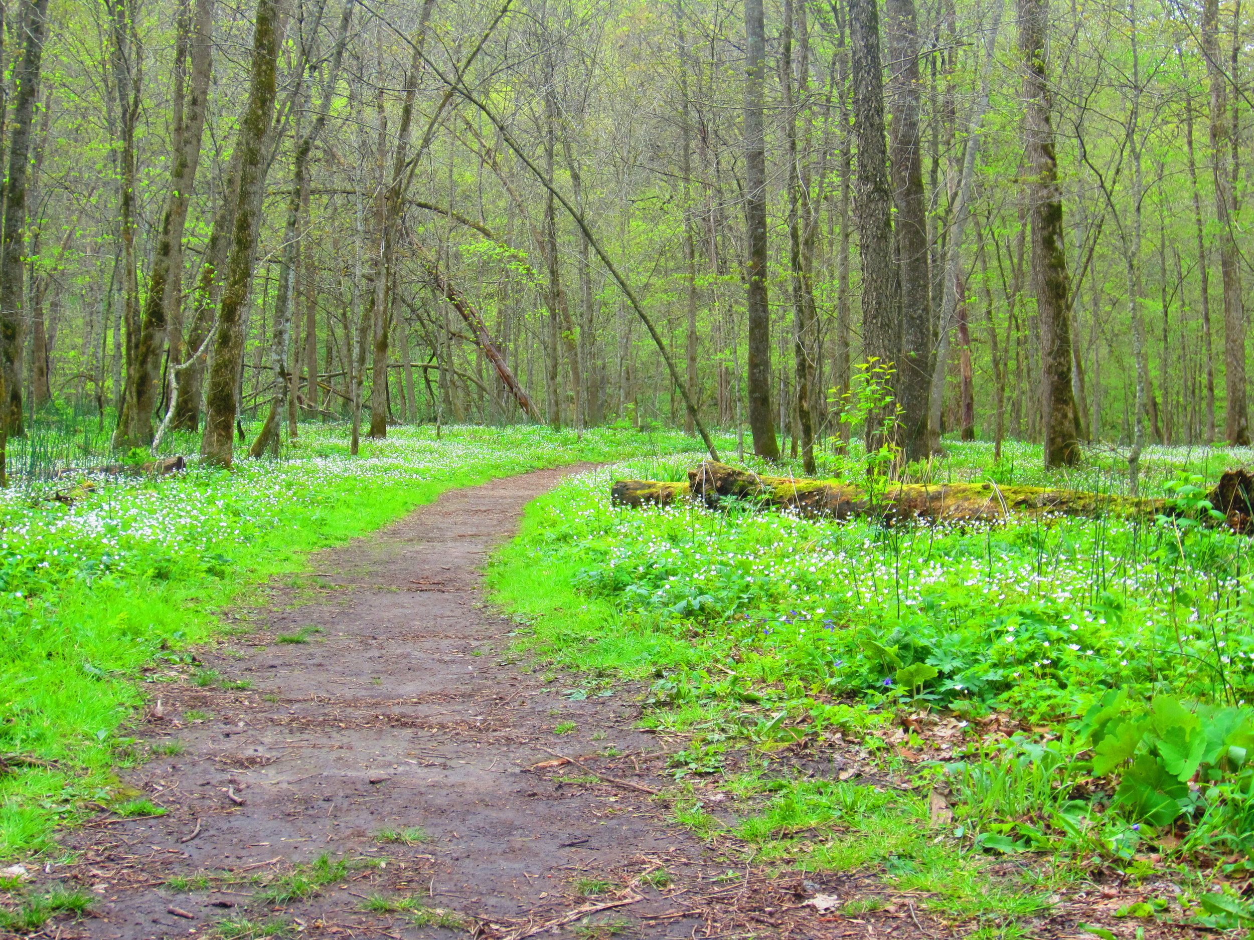
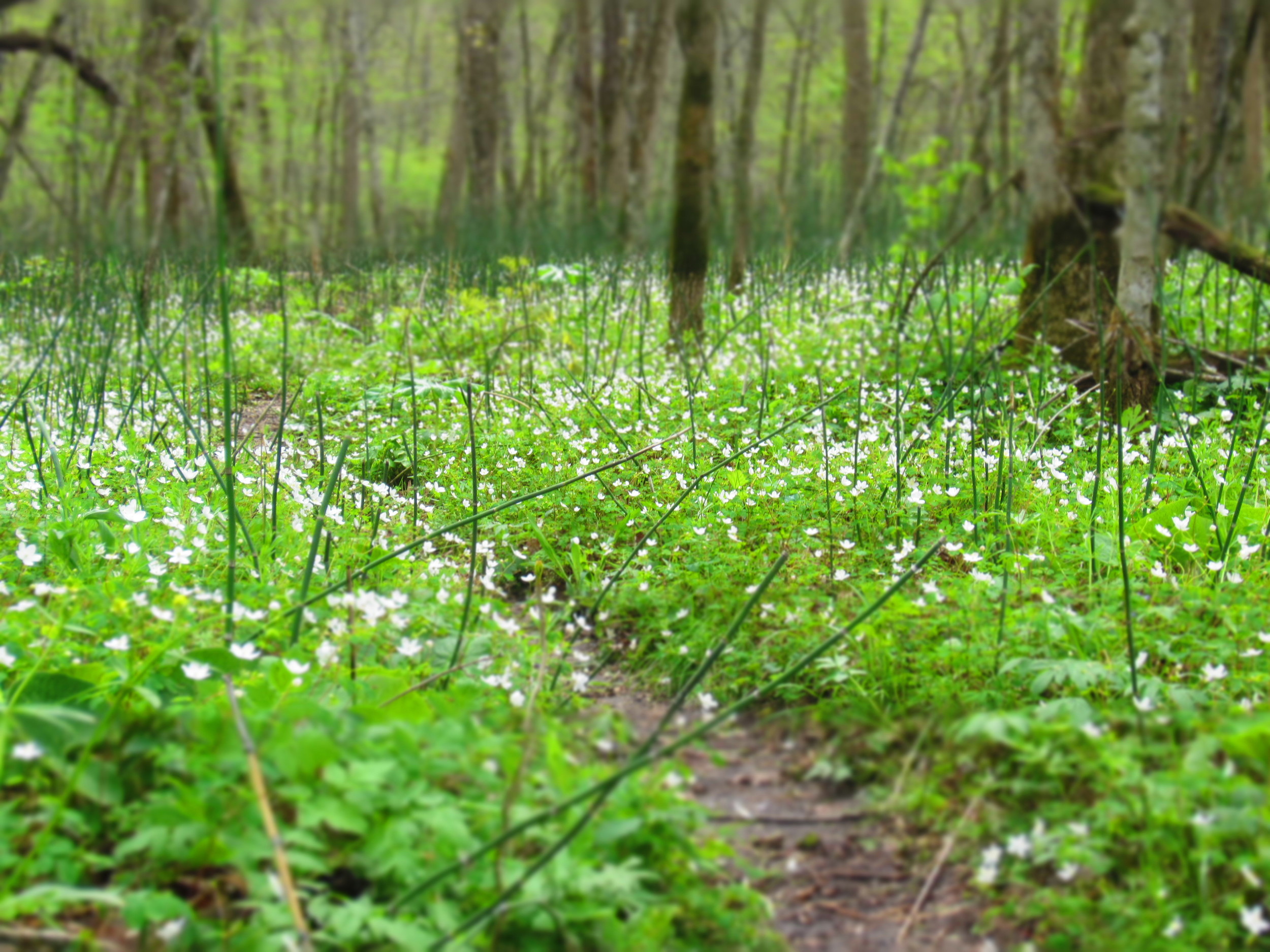
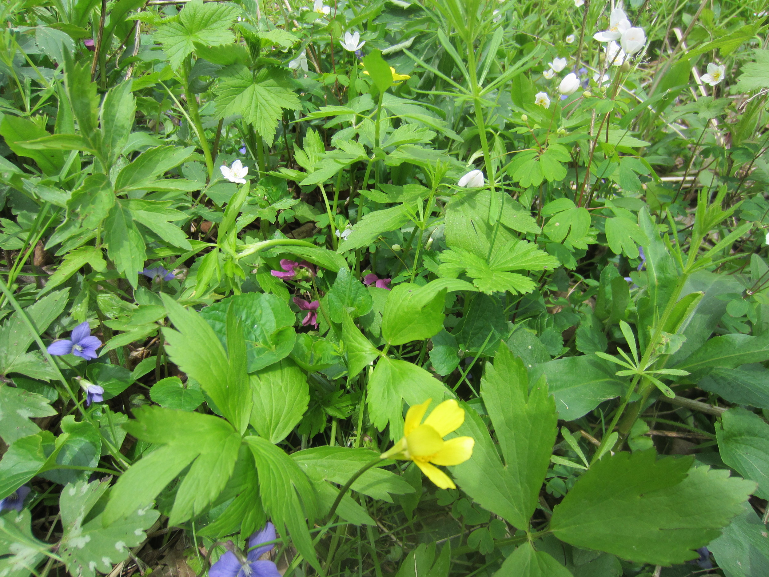
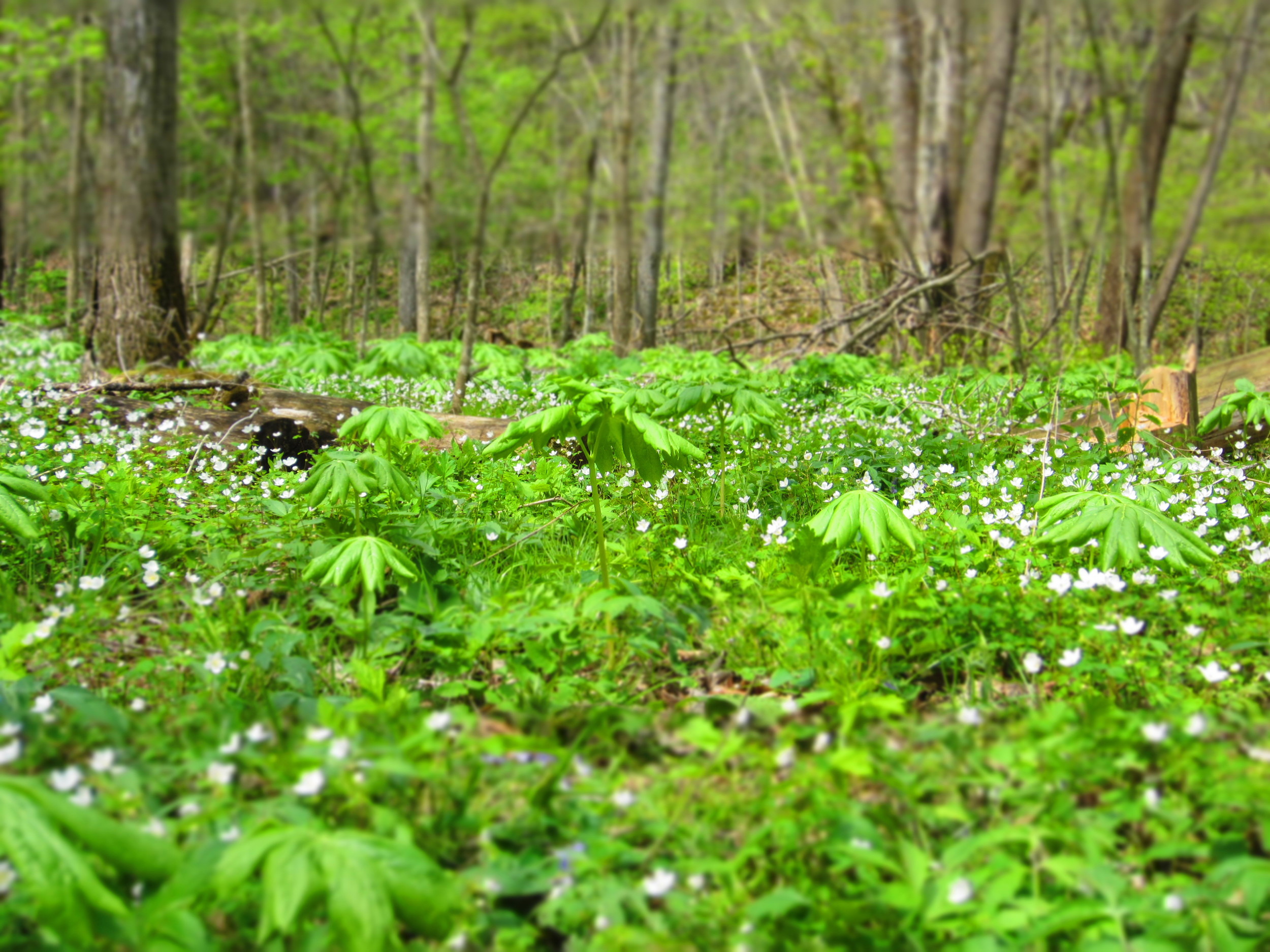
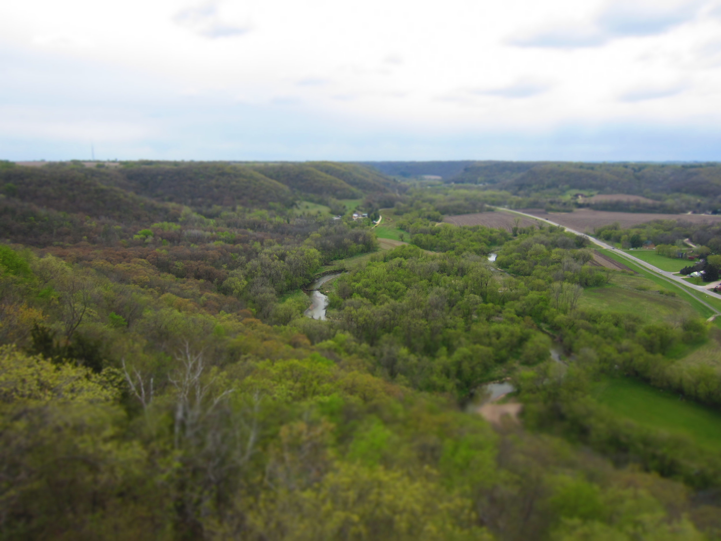
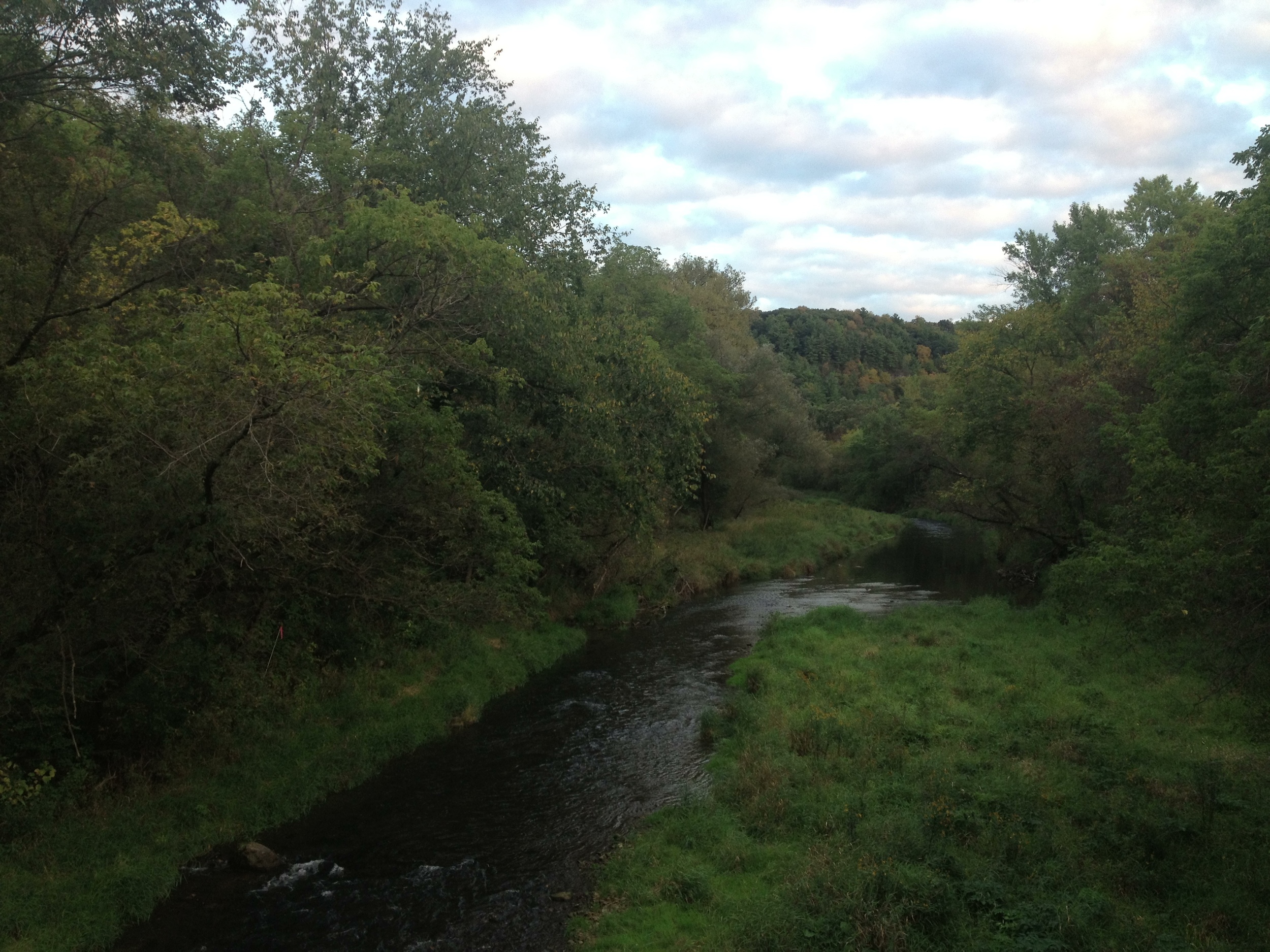
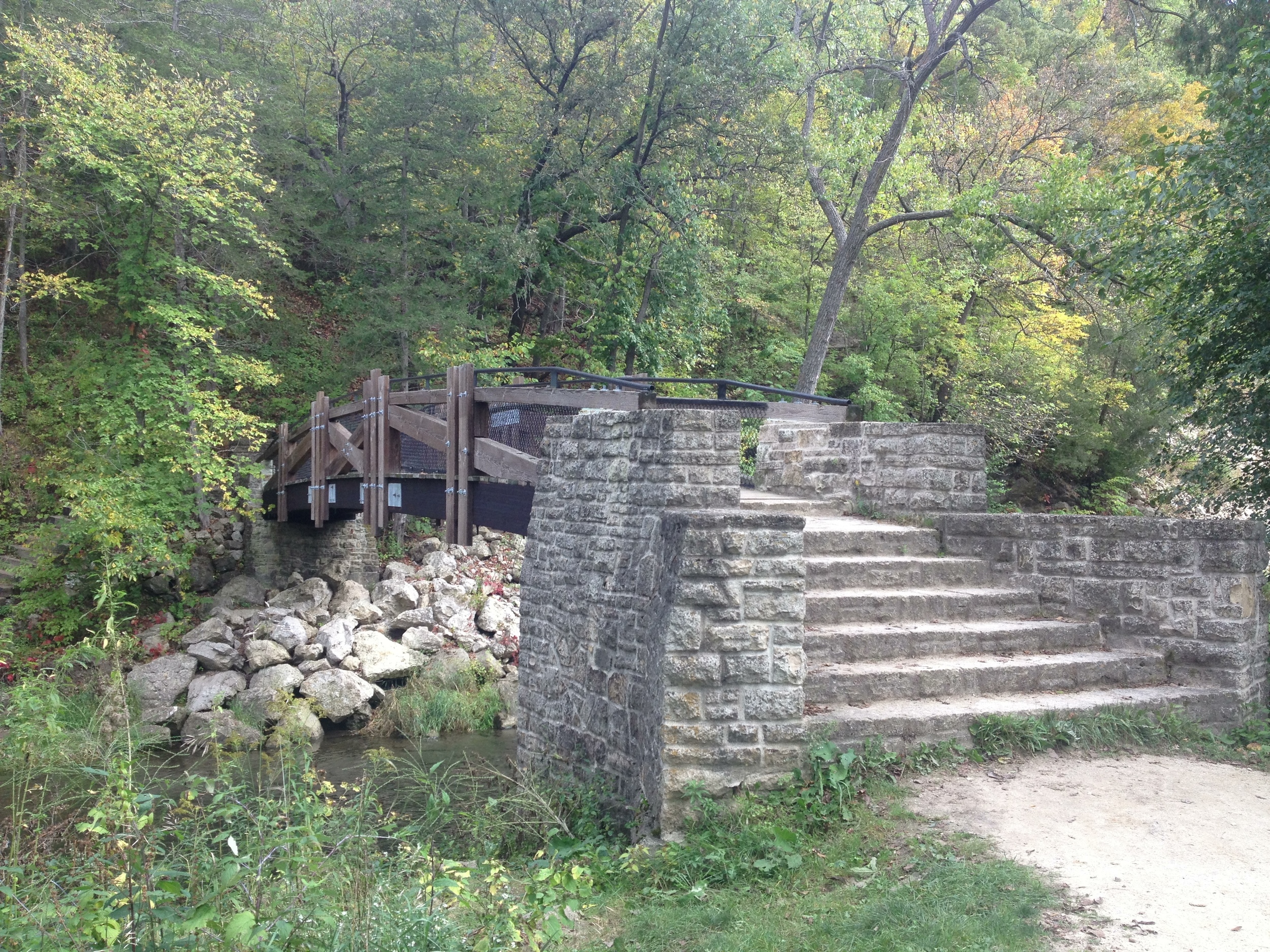
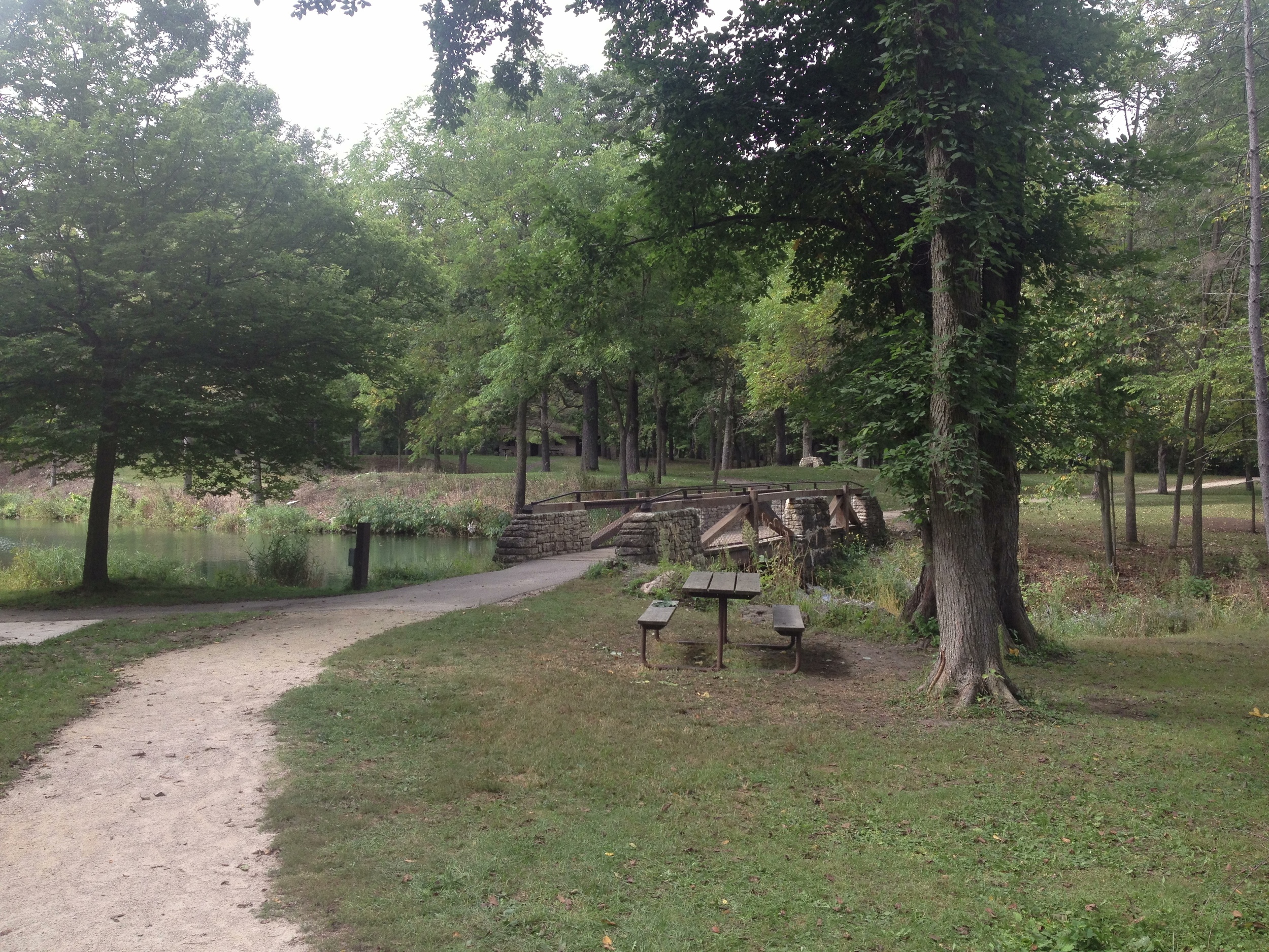
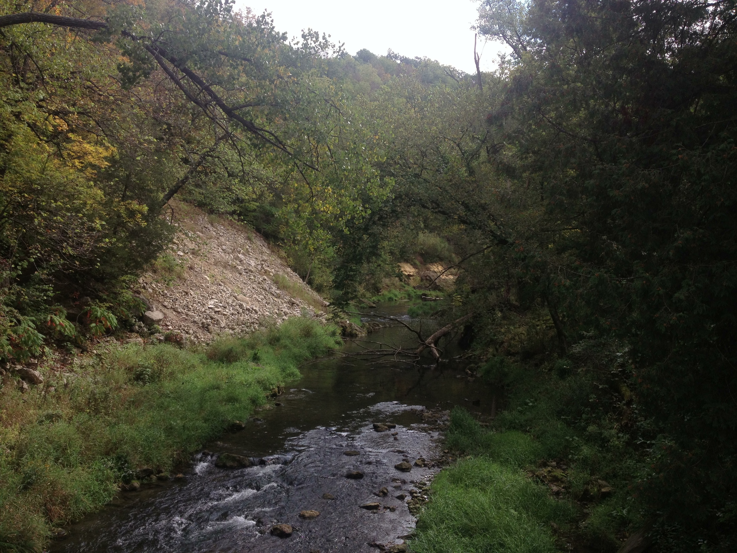
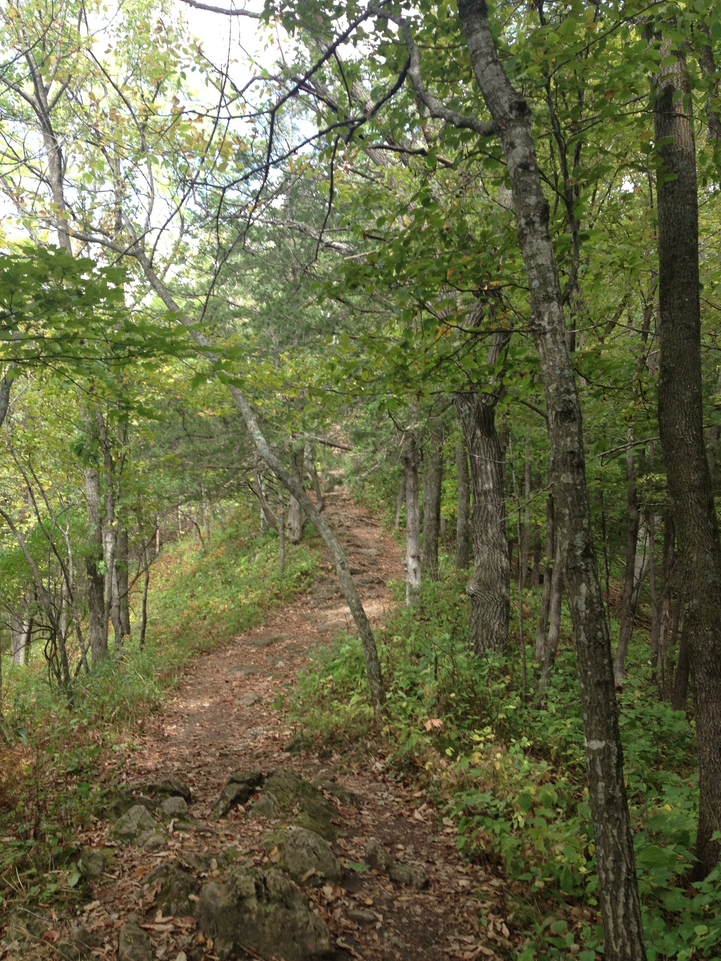
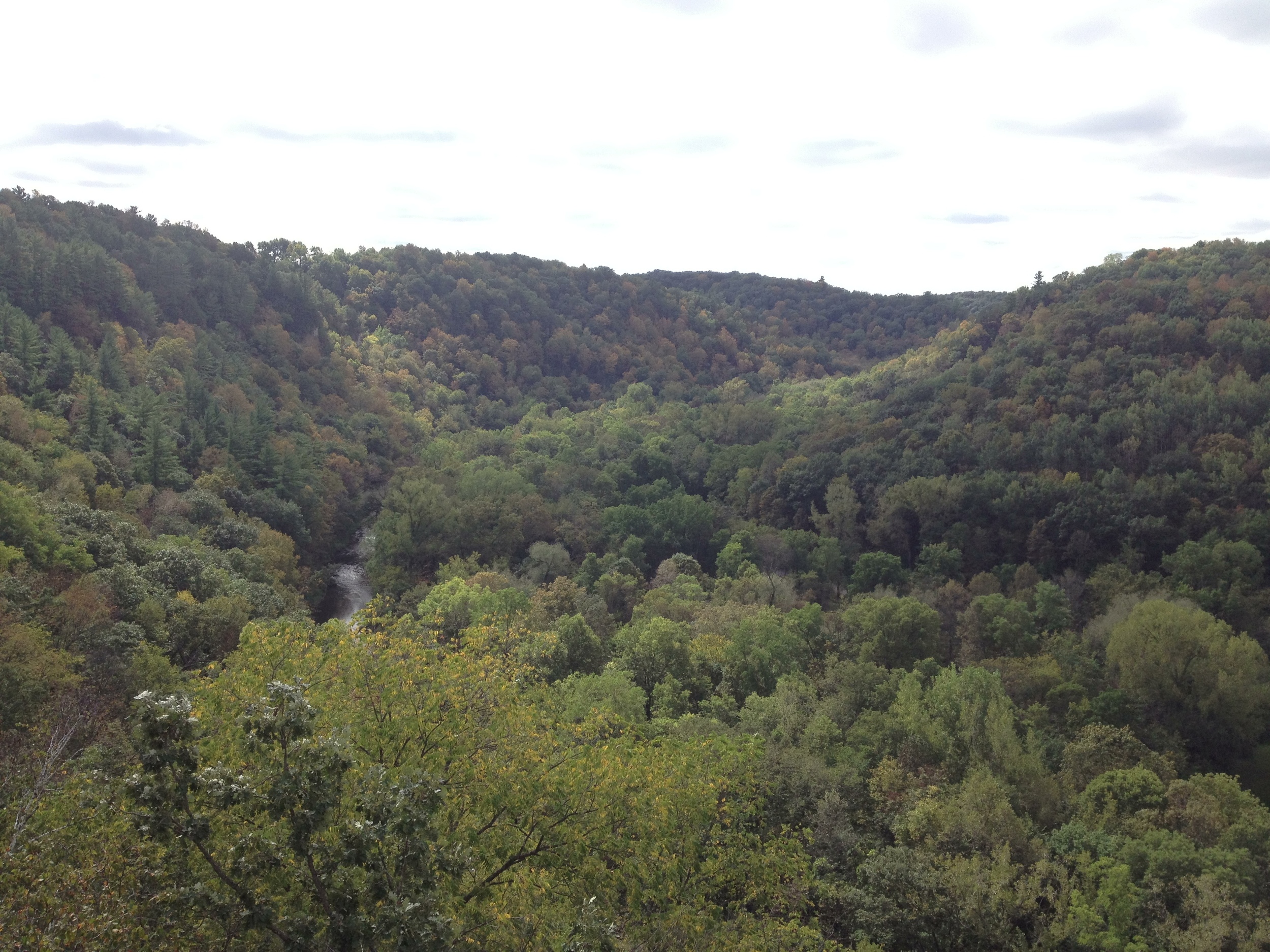
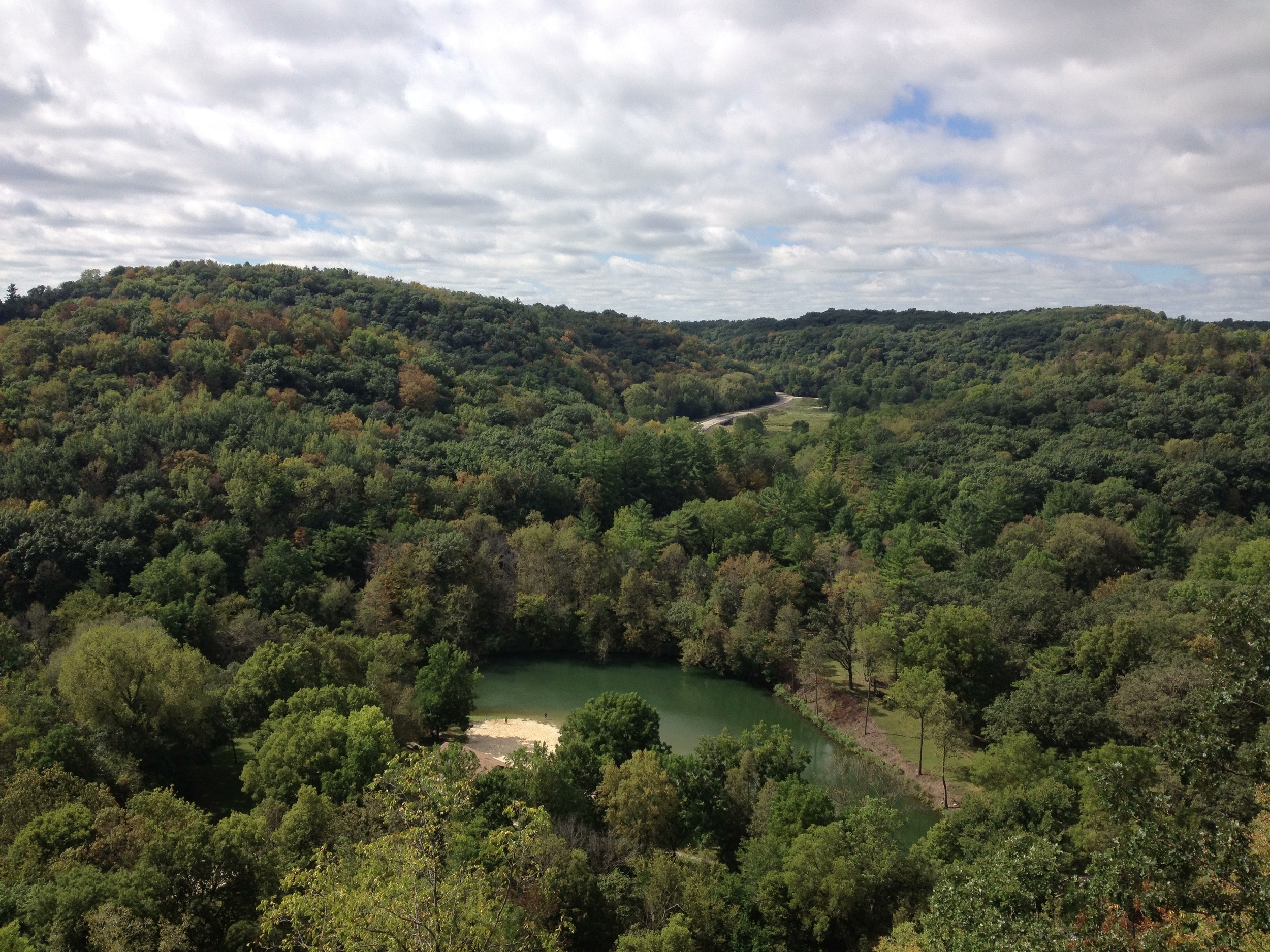
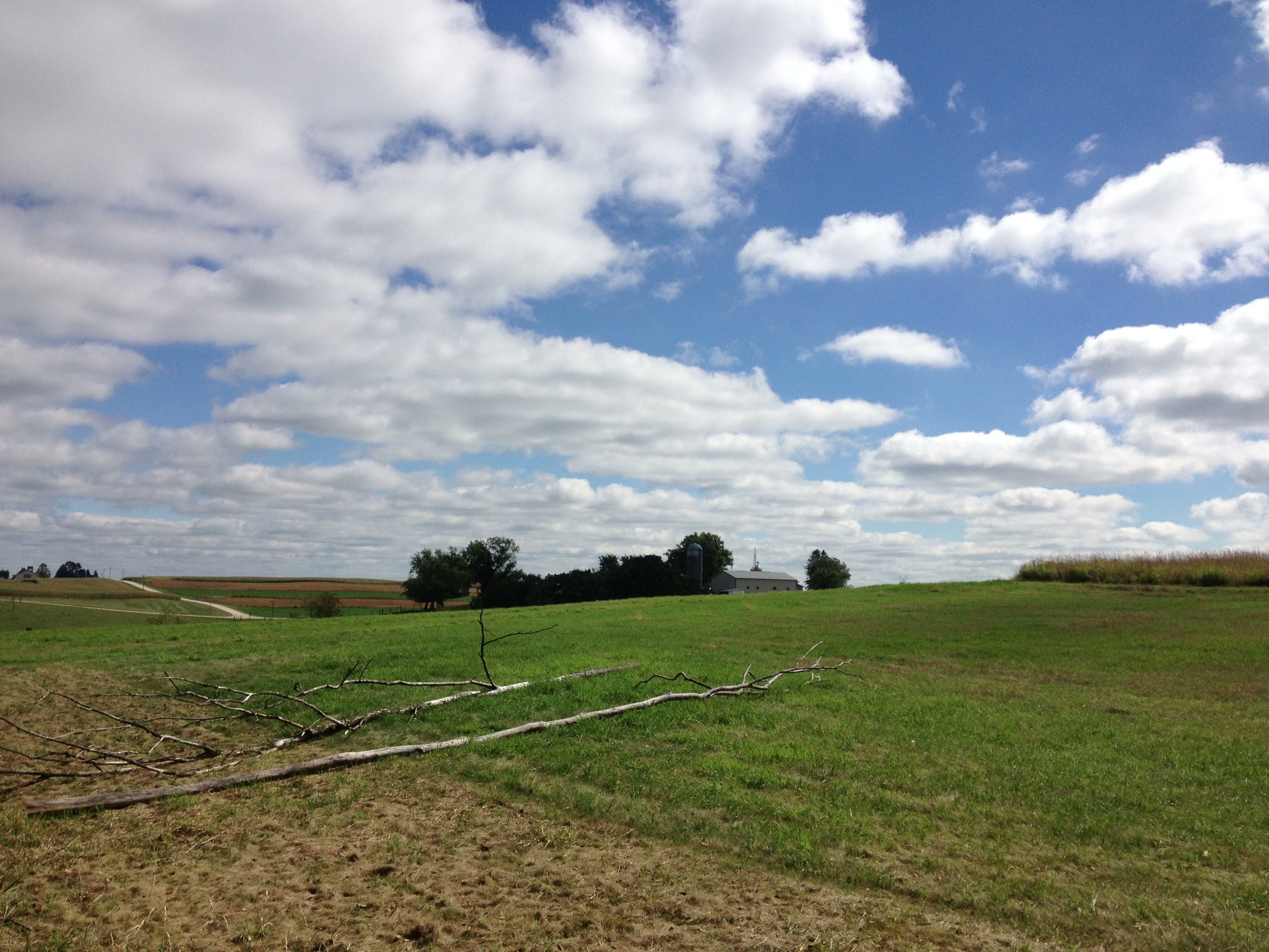
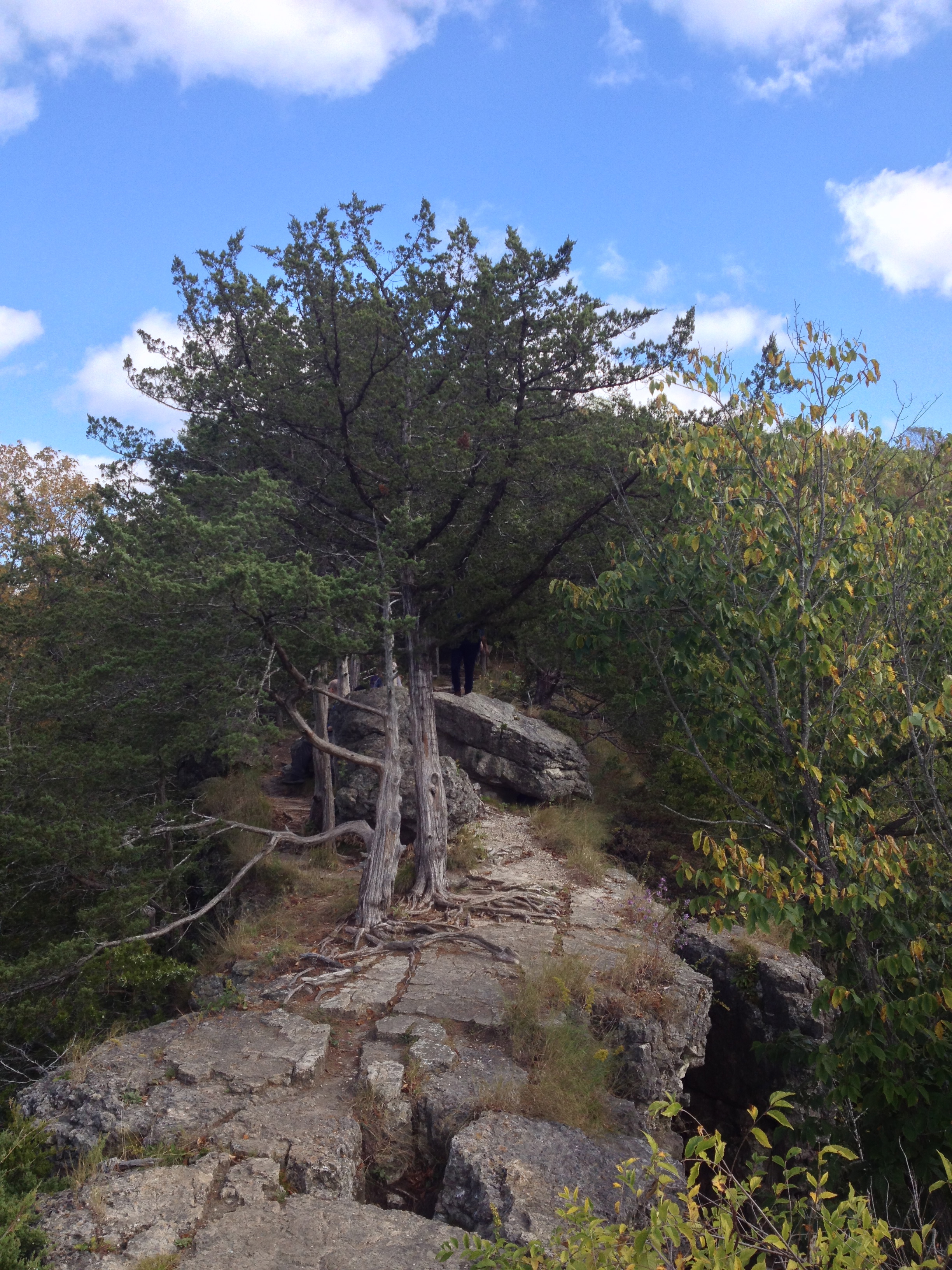
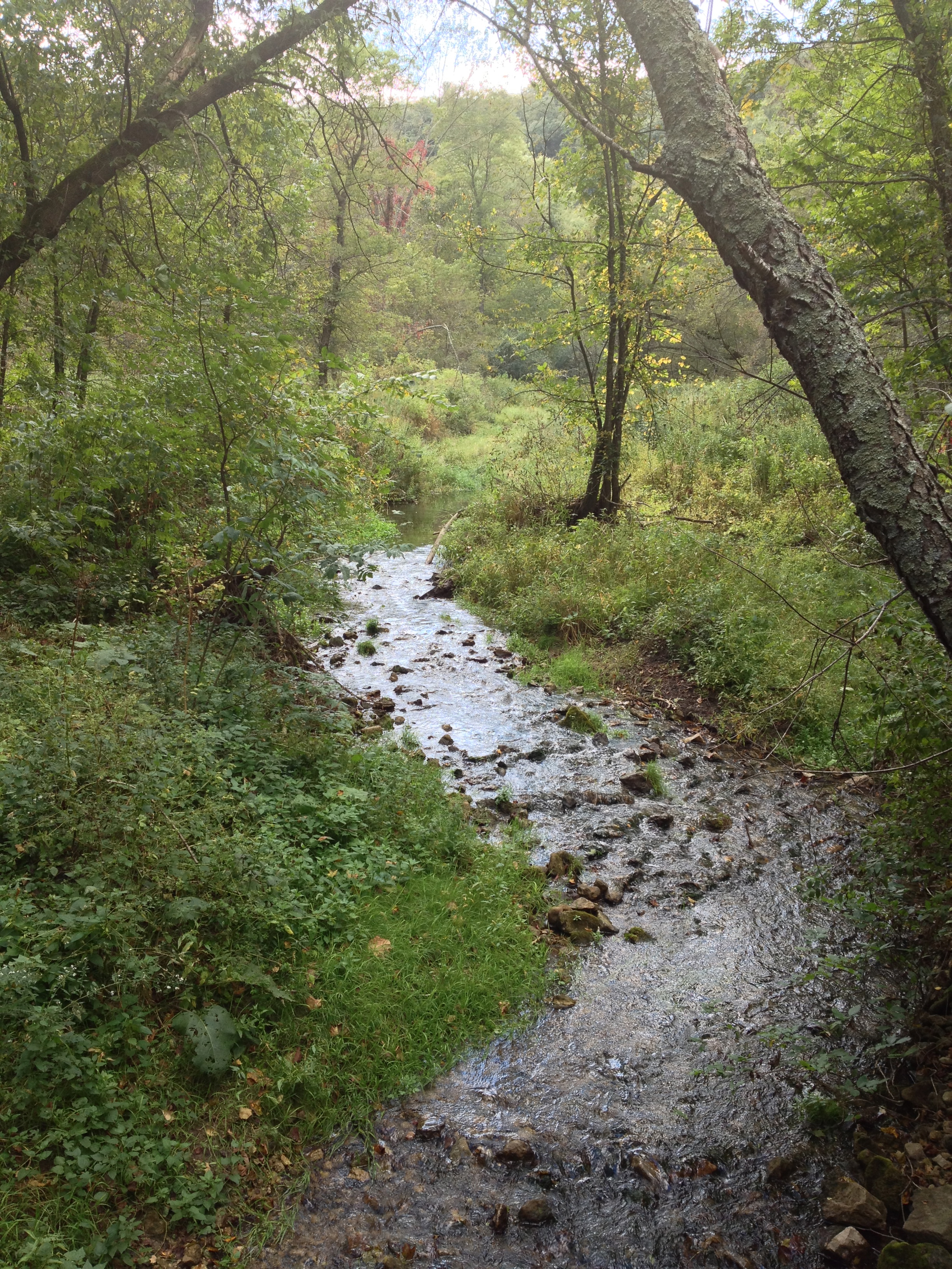
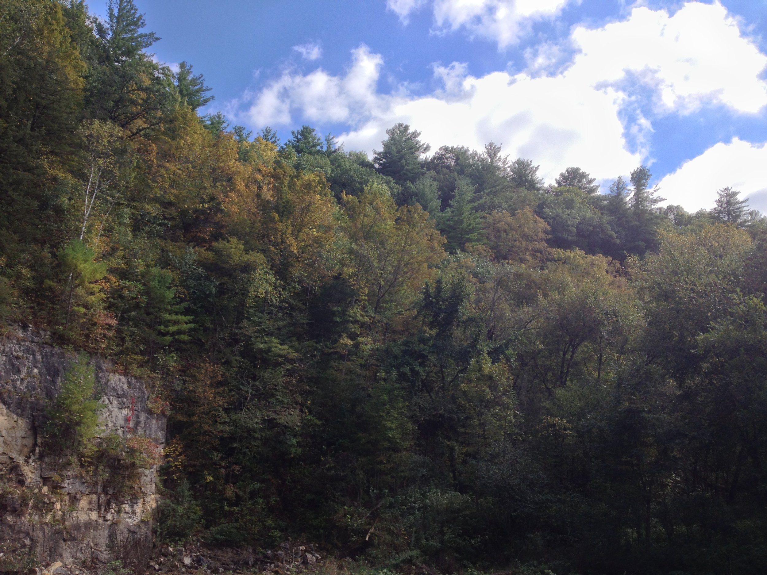
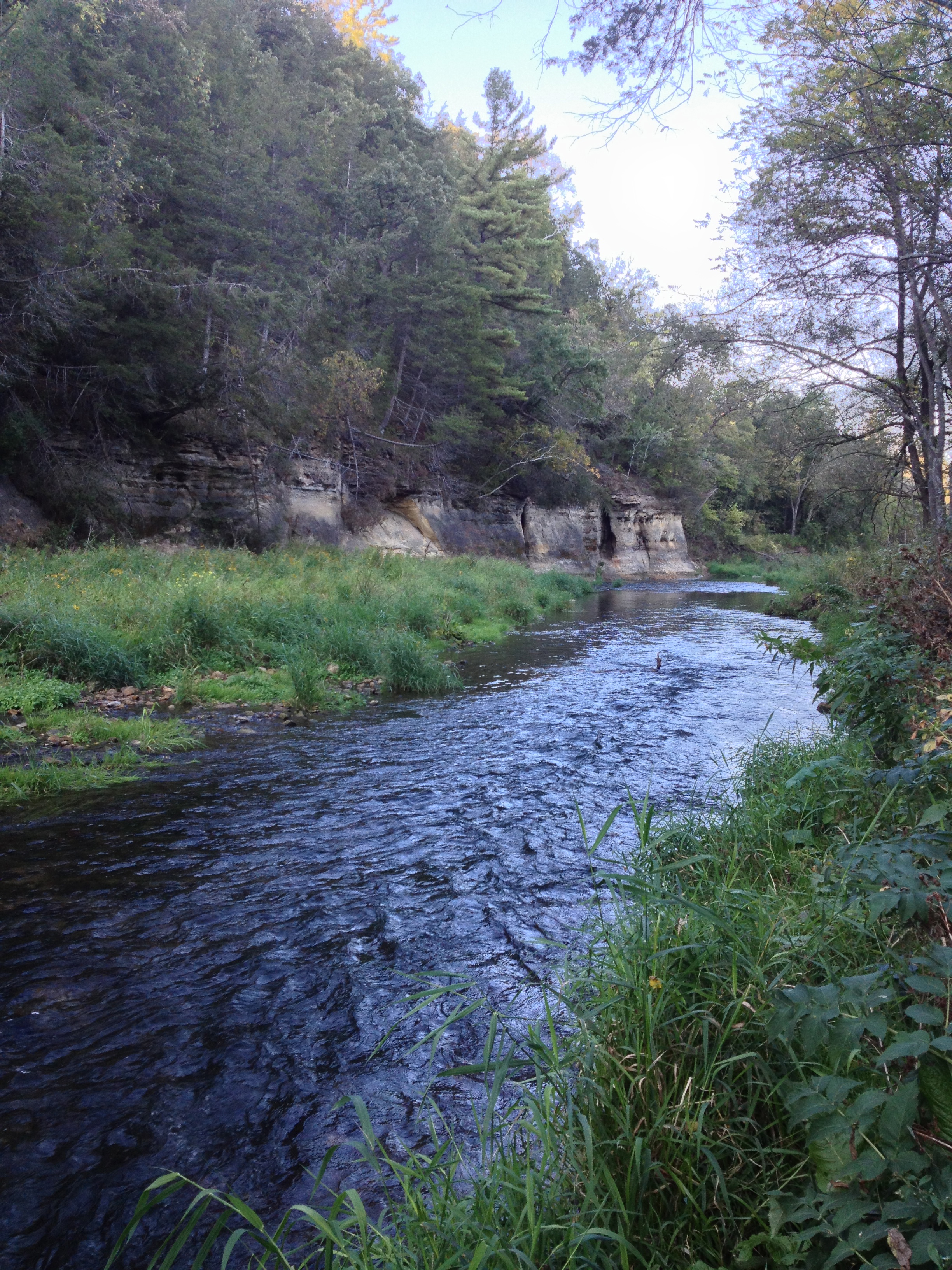
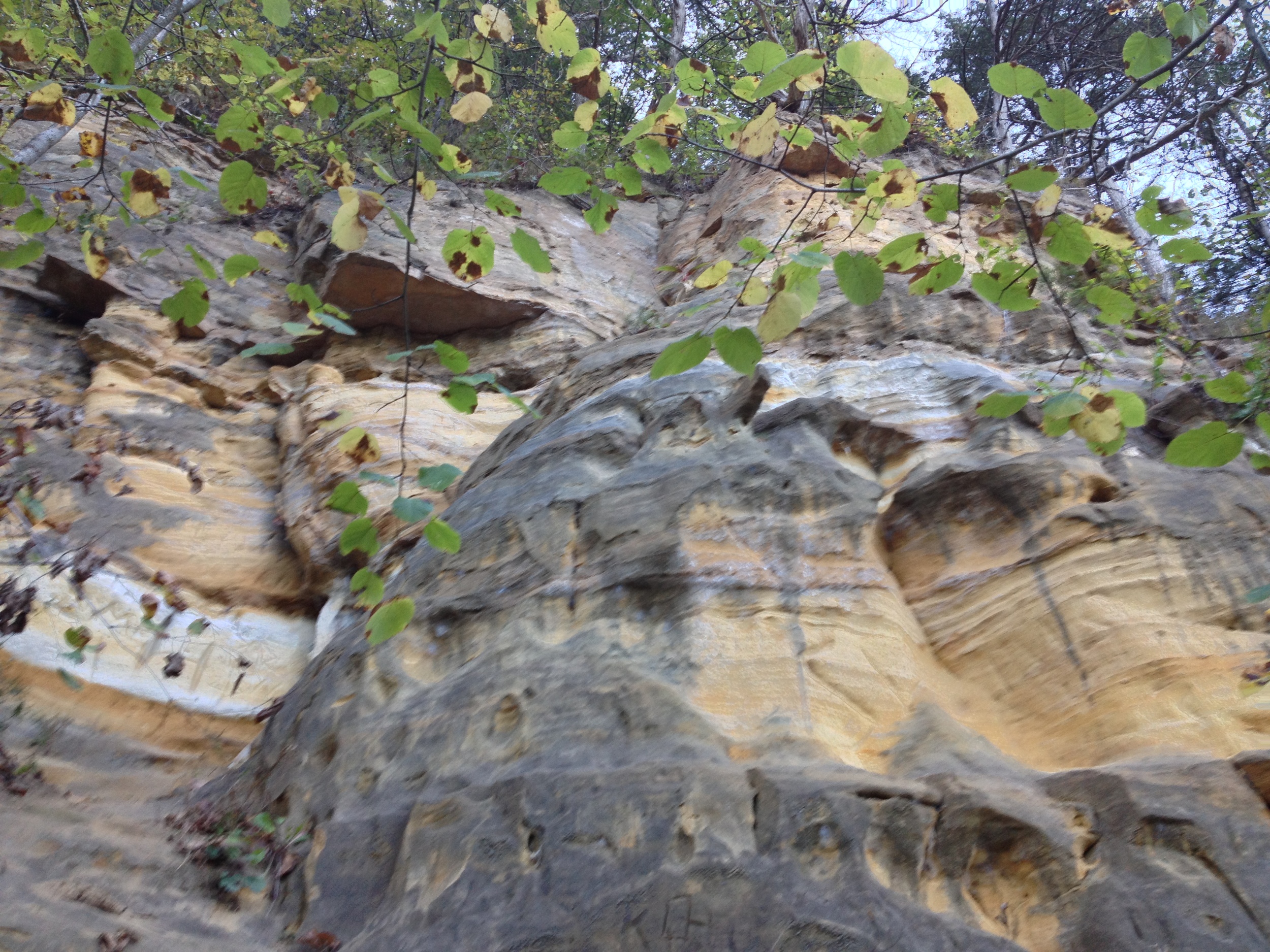
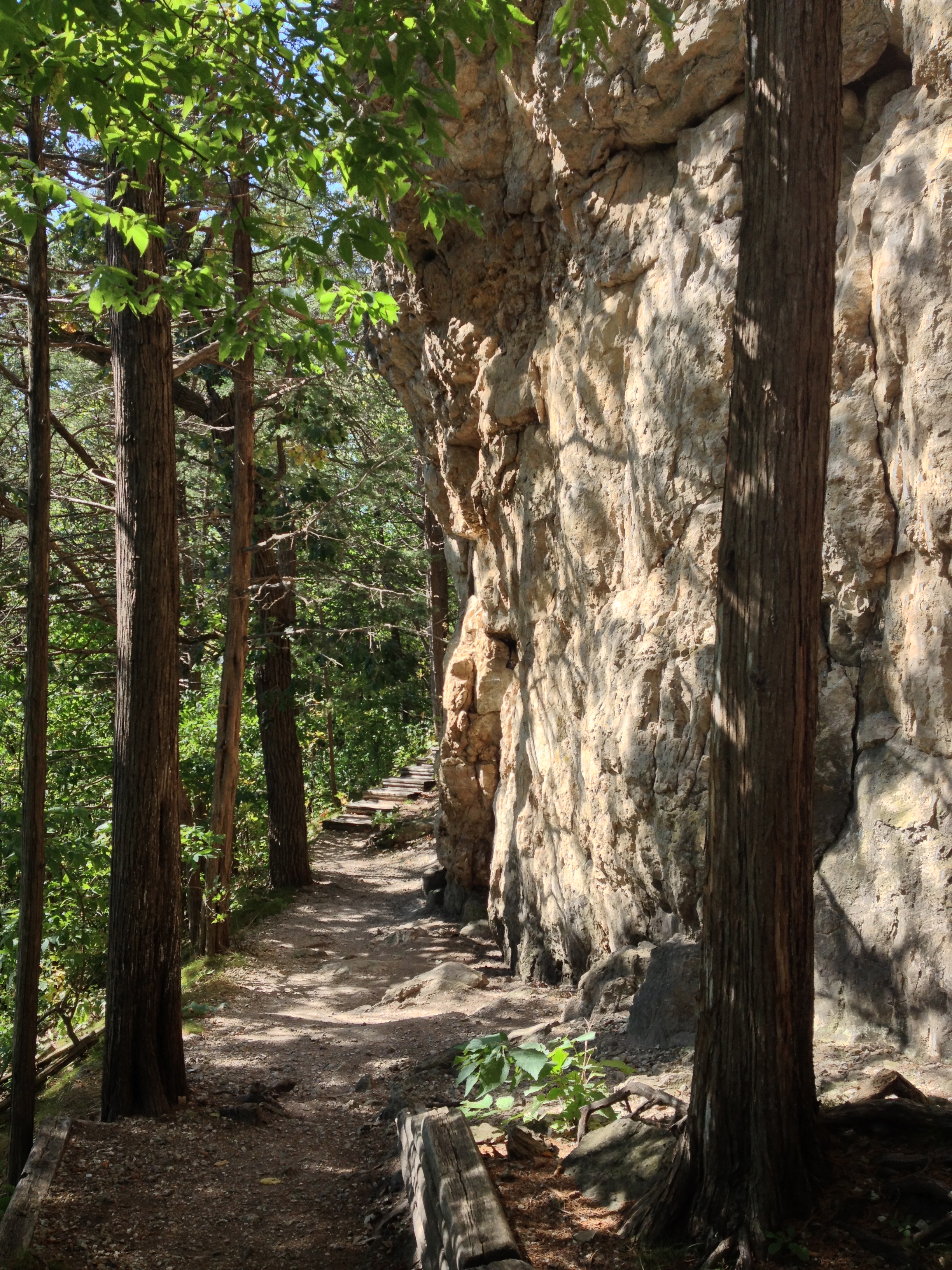
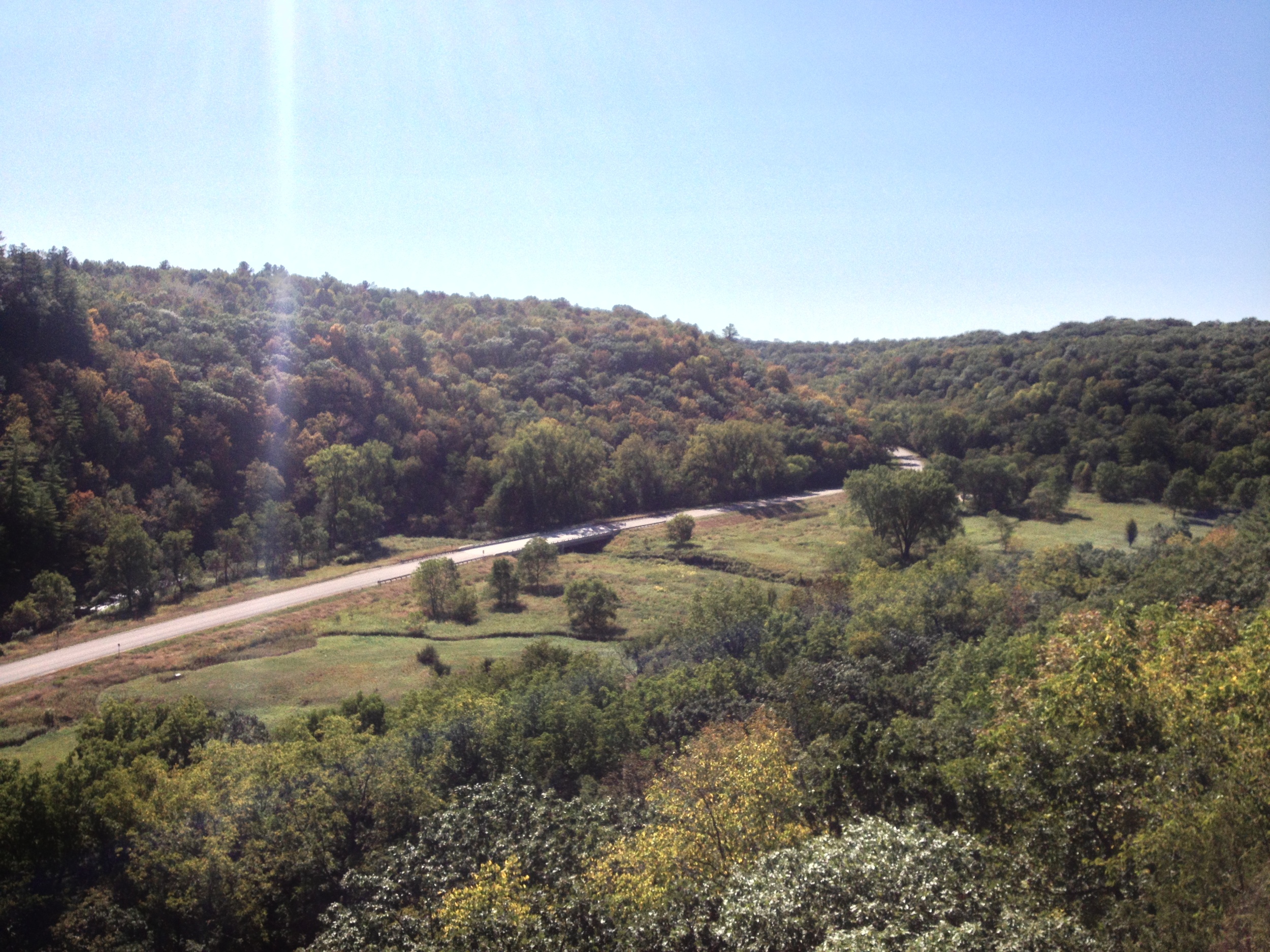
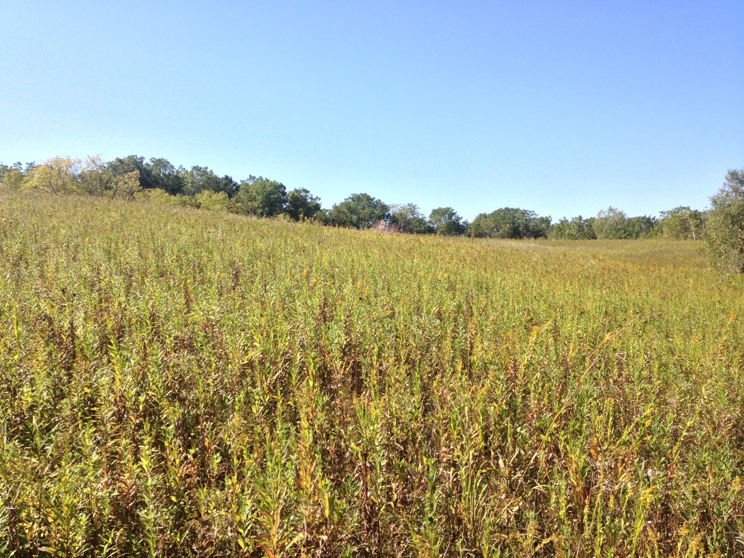
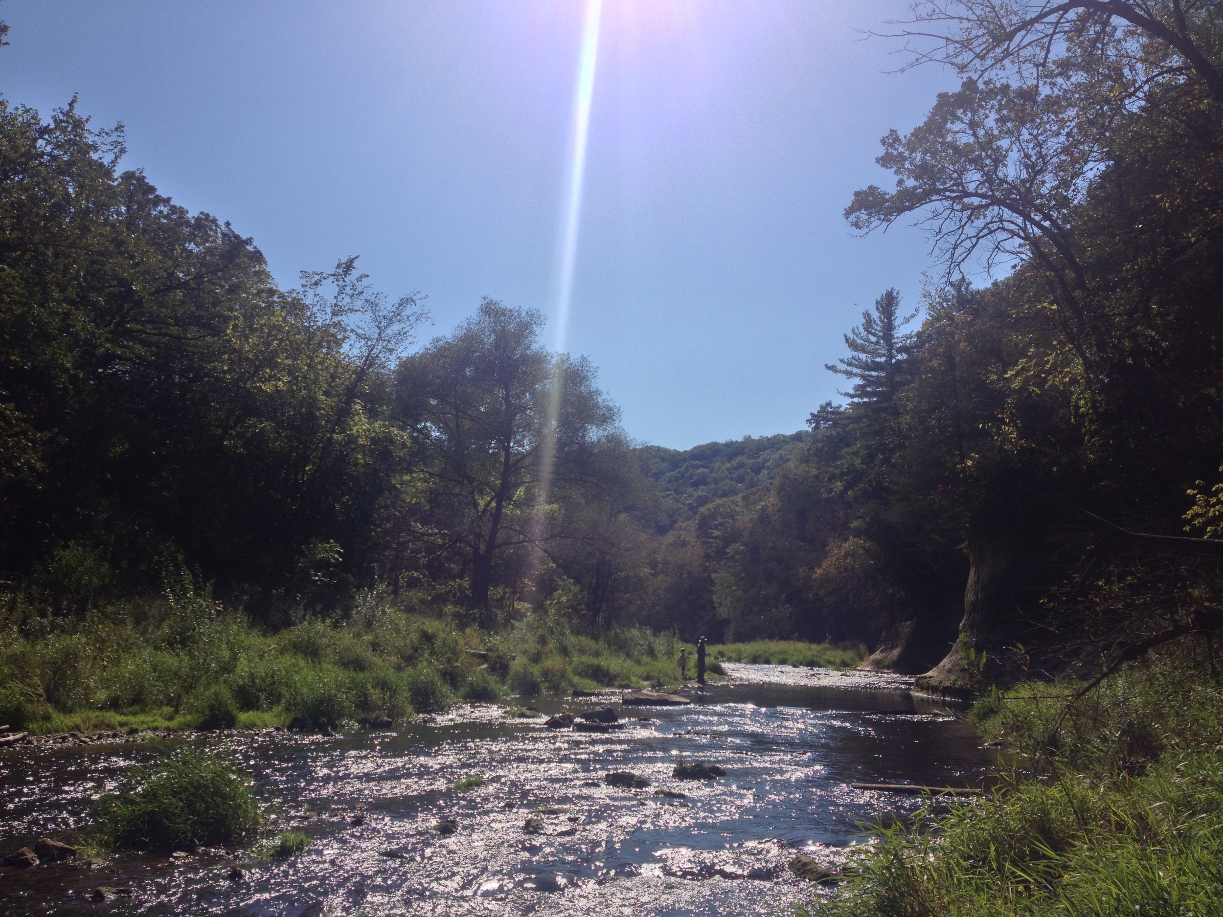
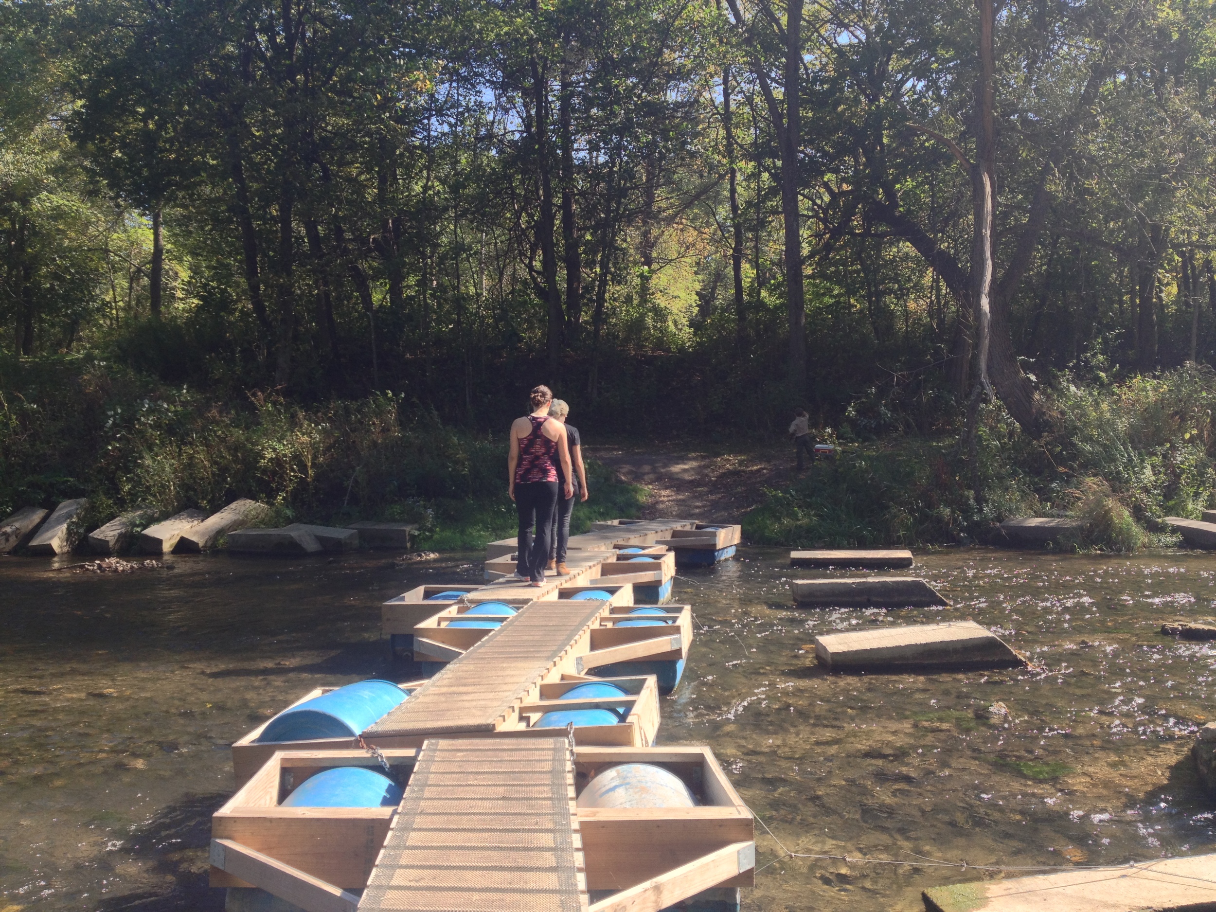
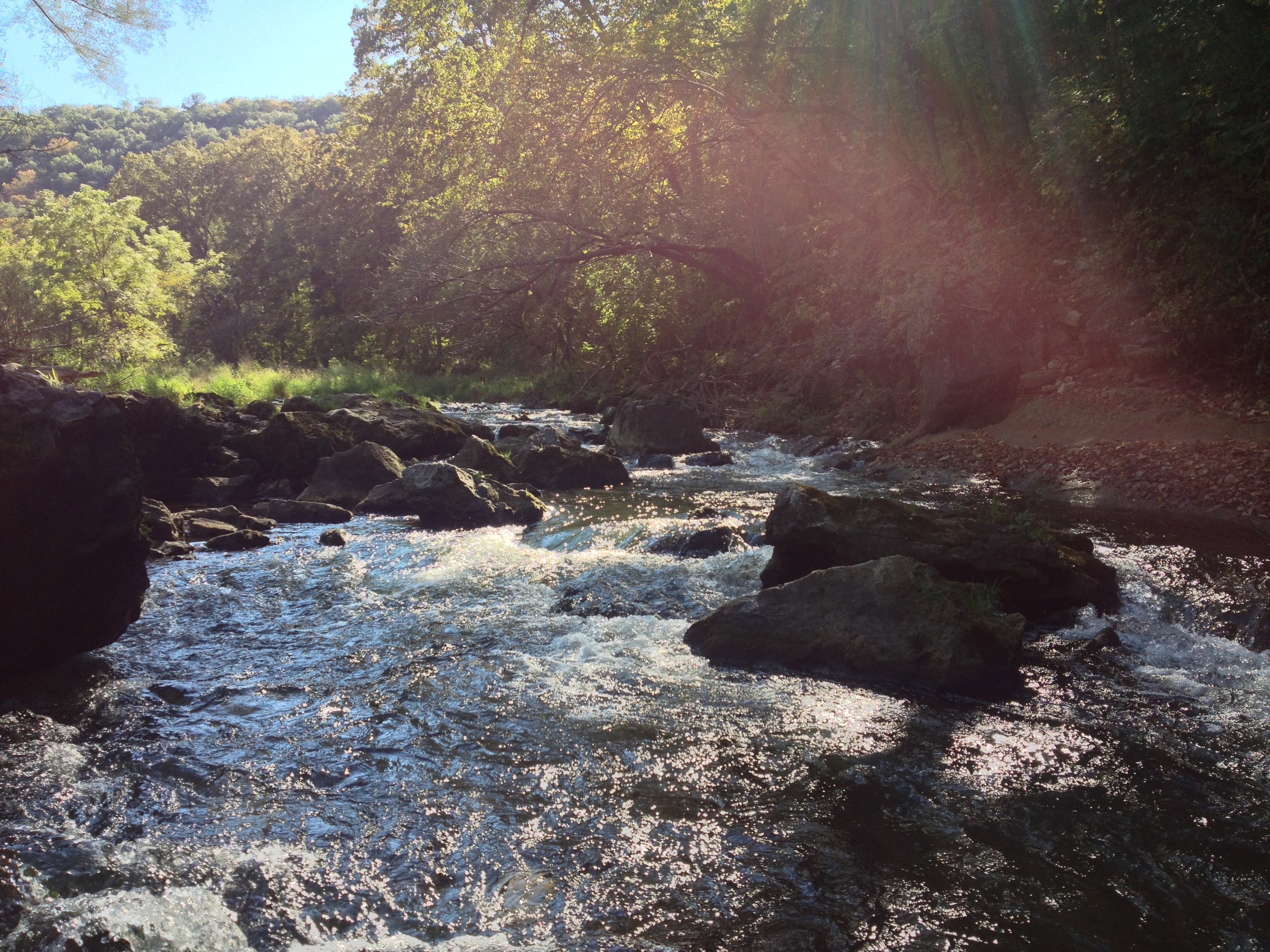
What's this!? Topography in Minnesota? The beautiful hills of Frontenac State Park.
The Drive: Although Frontenac State Park is the second park I've written about to be in the blufflands of southeastern Minnesota (Whitewater being the other), it is the first that has really allowed me to drive through the area on one of these trips. The route takes you along the Minnesota-Wisconsin border on WI-35 through rolling hills, high cliffs, and a series of (seemingly) mountainous river bluffs. The most distinguished of which is Barn Bluff in Red Wing, what remains of an ancient island in the massive Glacial River Warren. If you do a day trip to Frontenac, make sure to stop in Red Wing, the town famous for its boots, pottery, and my relatives (shout out to the Red Wing Whitsons). On a summer day the Barn Bluff hike is a great side trip. Frontenac is just a few minutes south of the town along the river.
Feather on the shores of Lake Pepin at Frontenac State Park
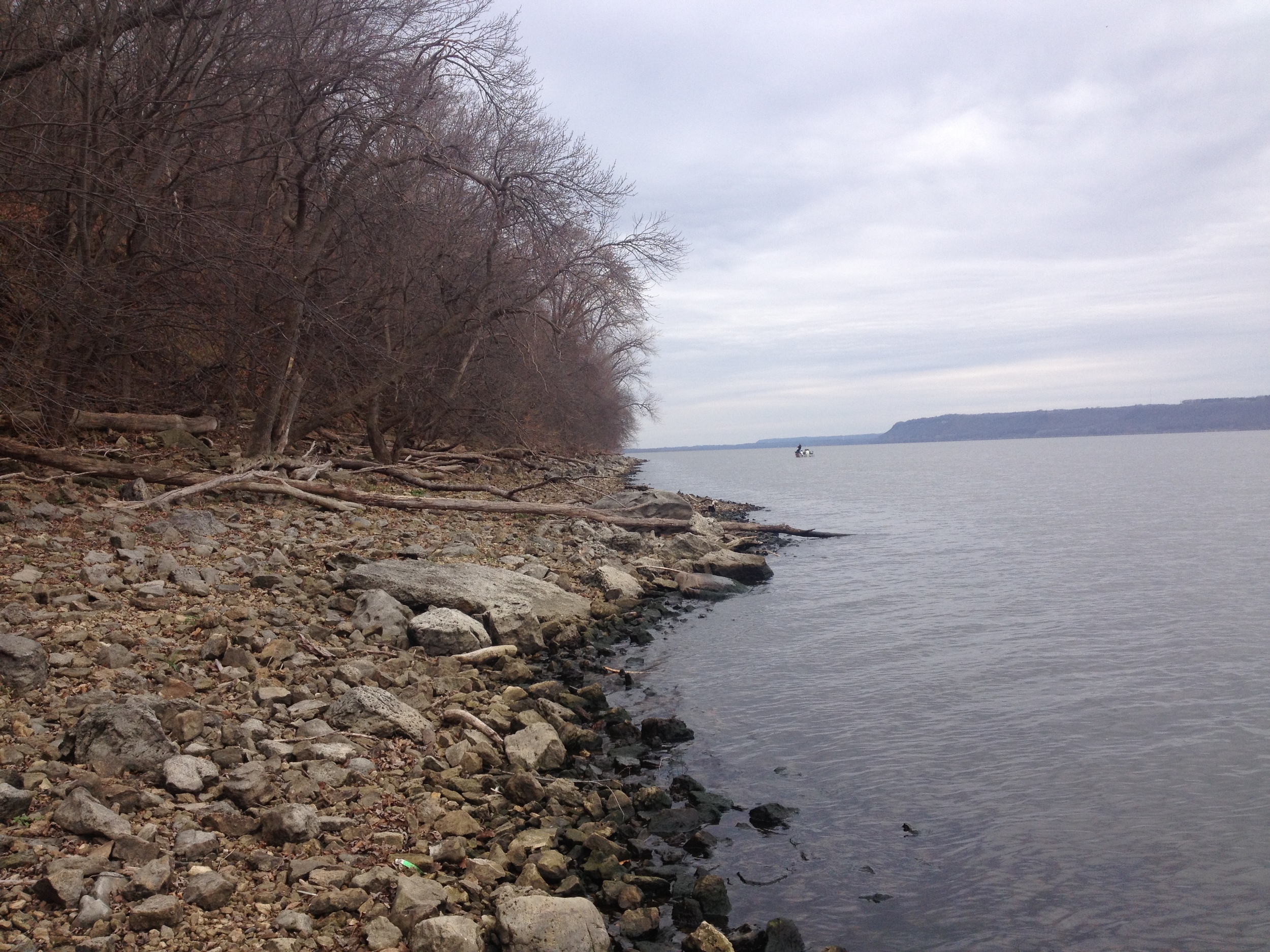
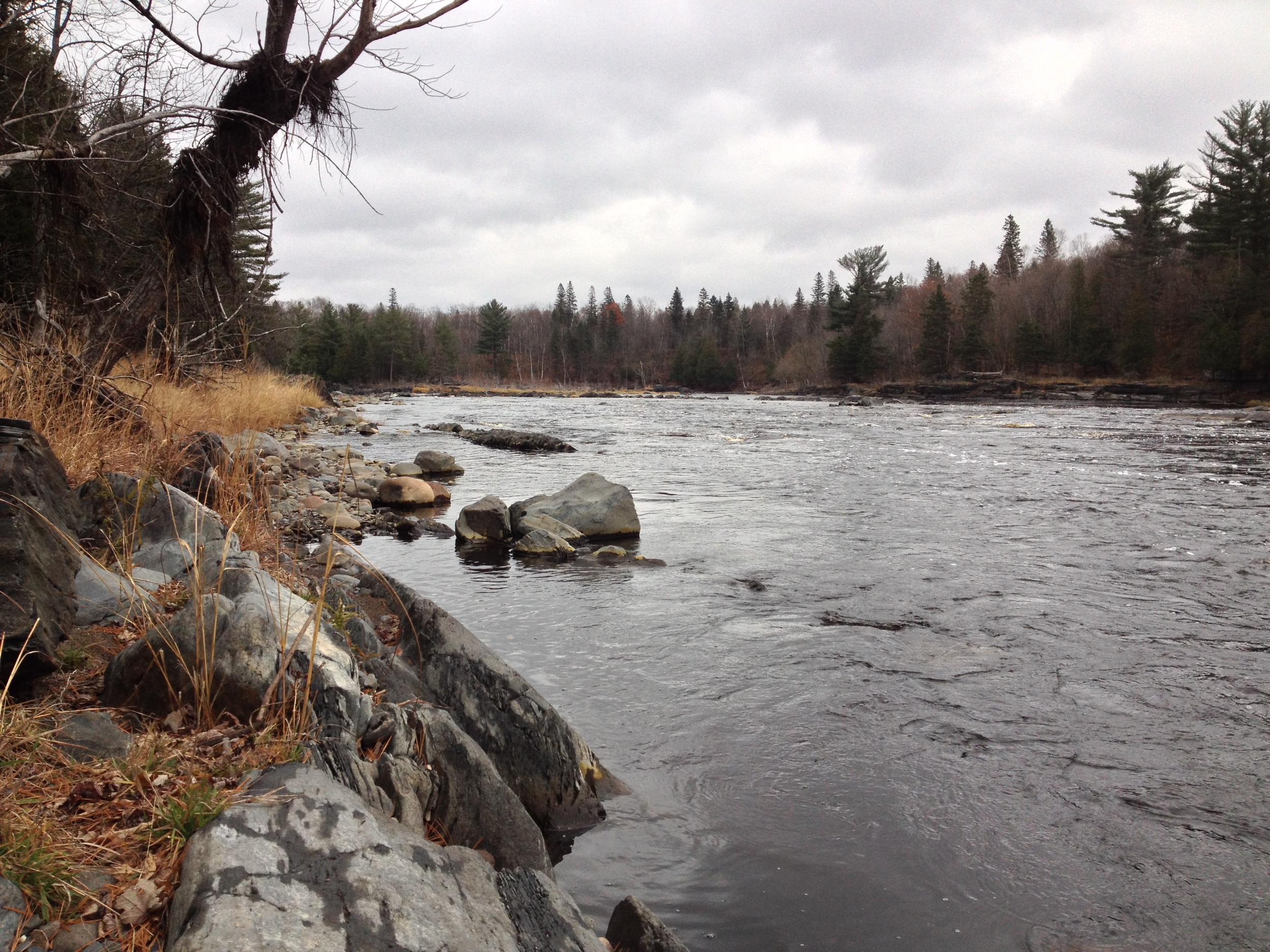
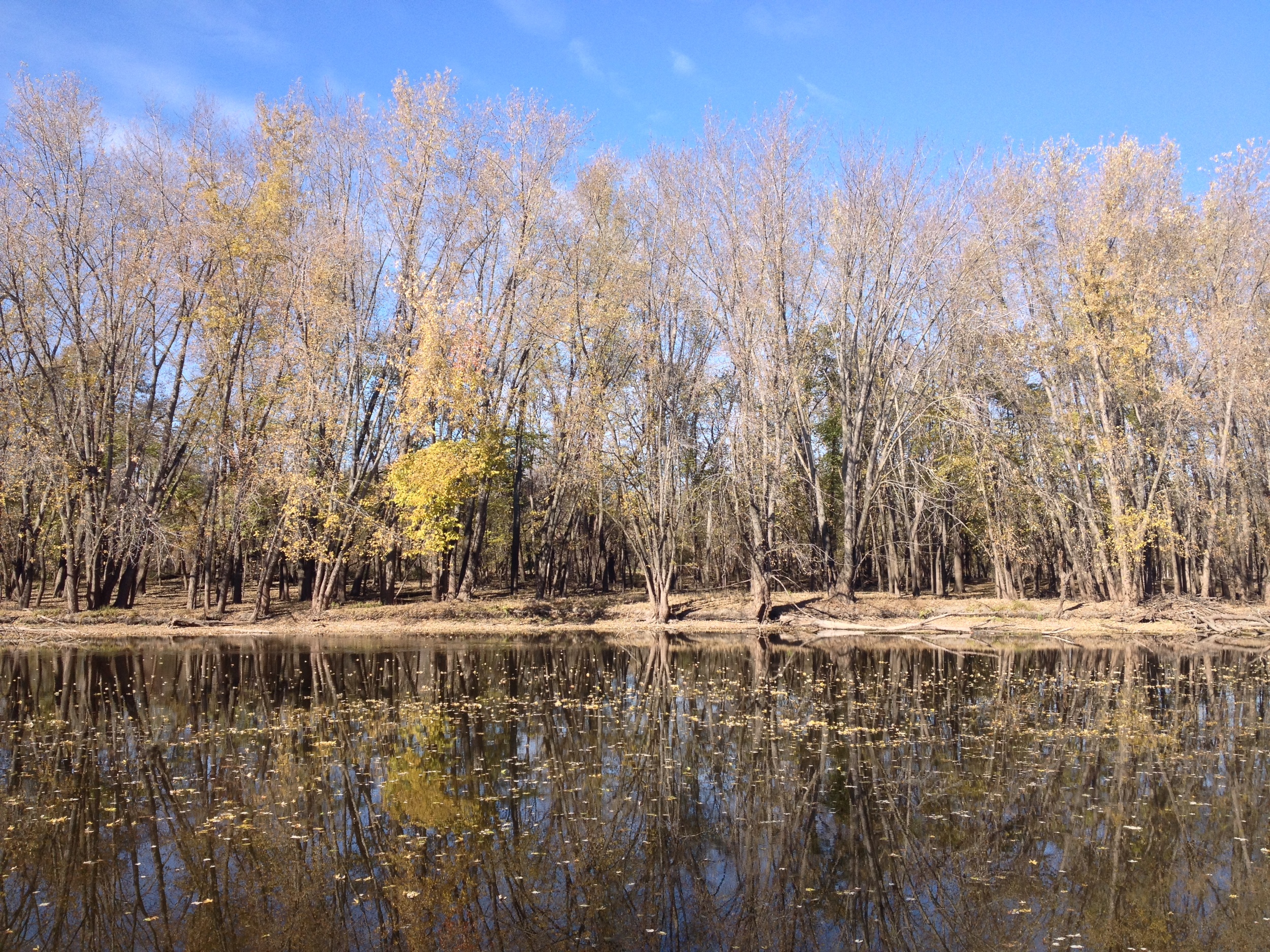
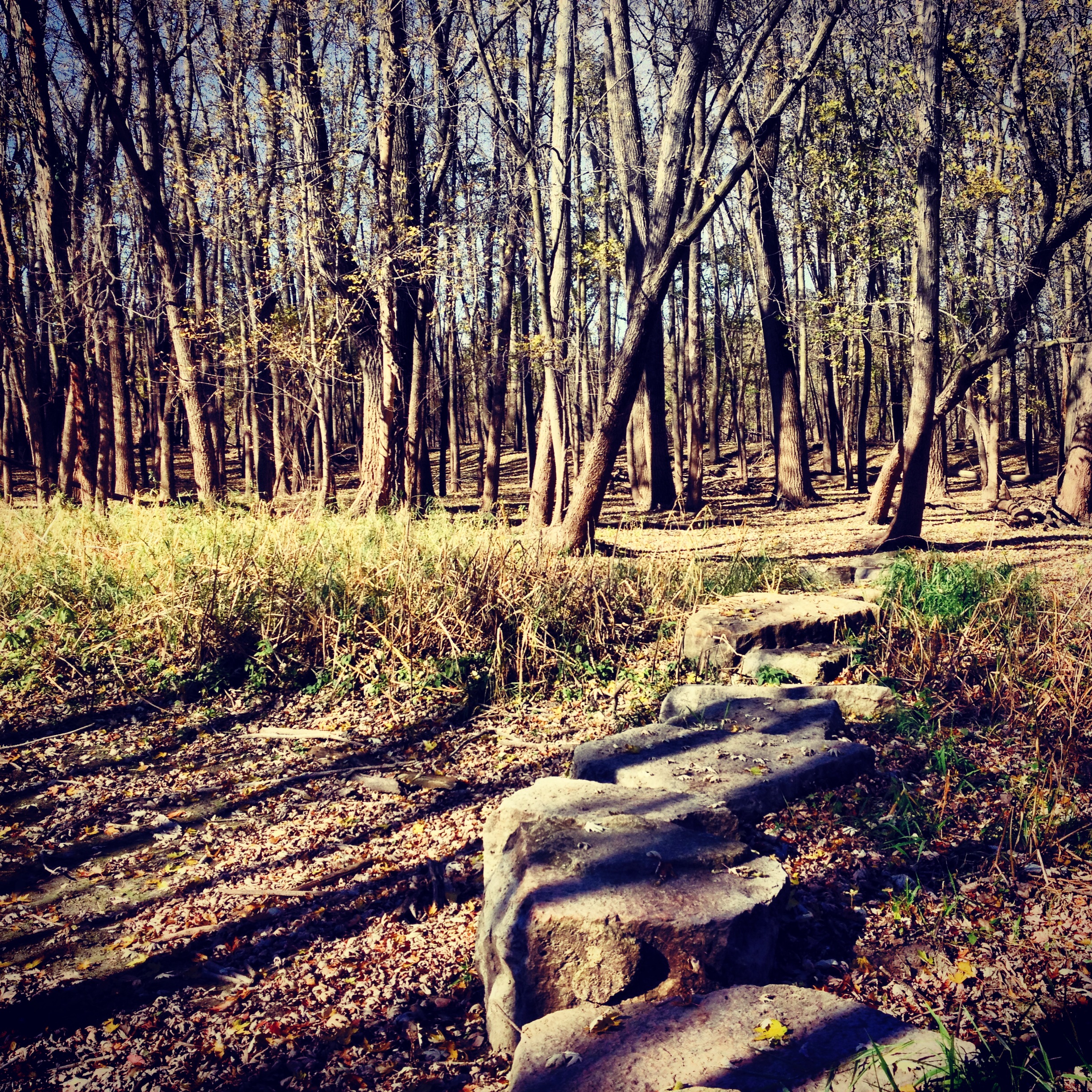
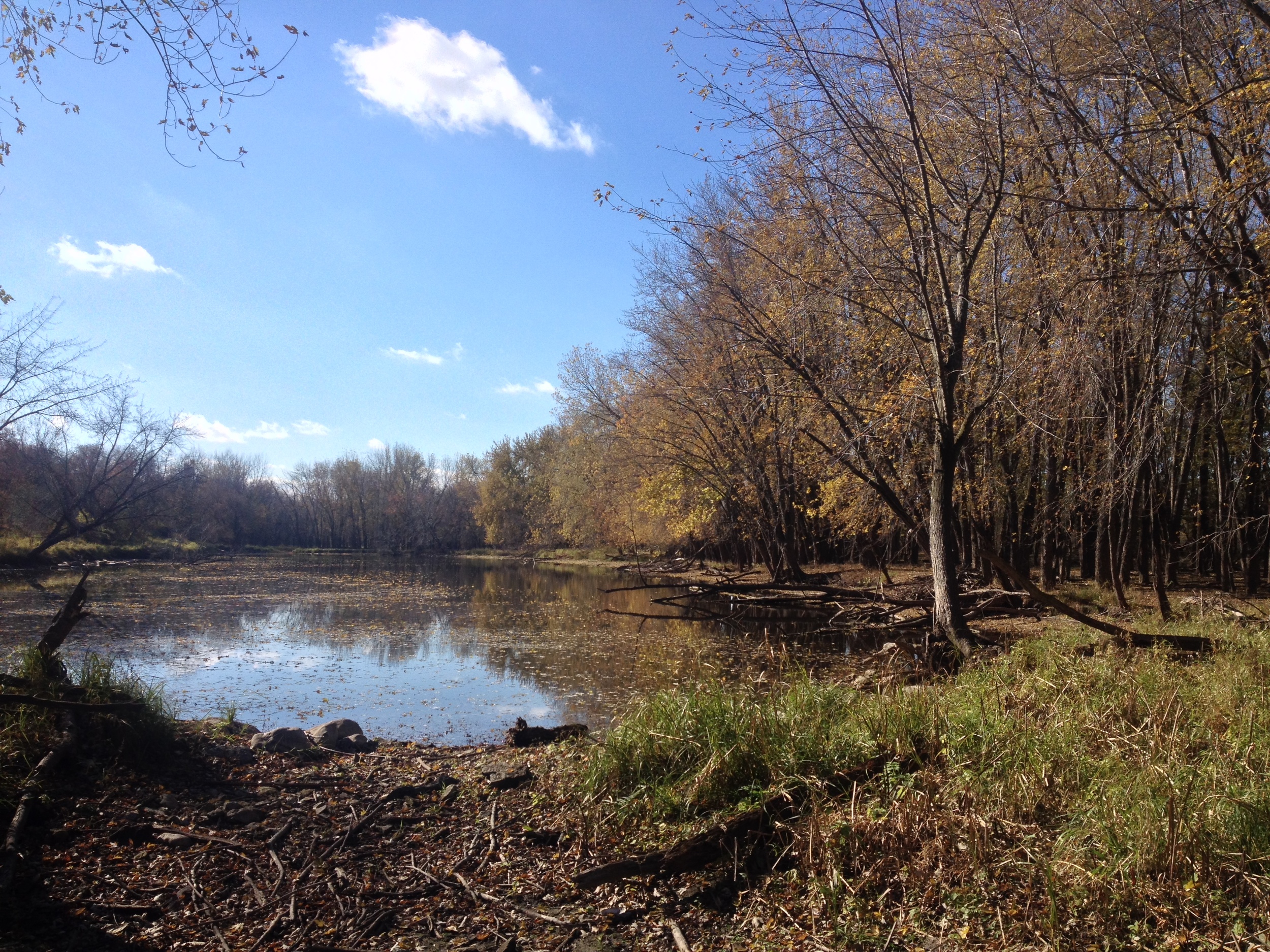
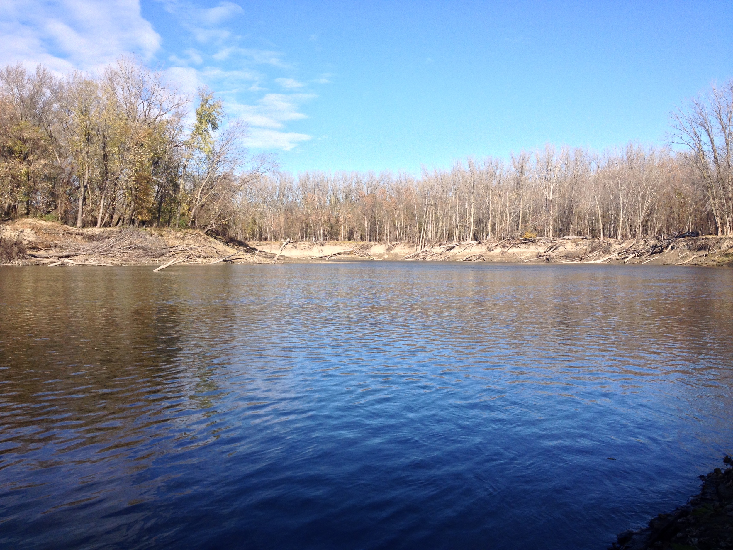
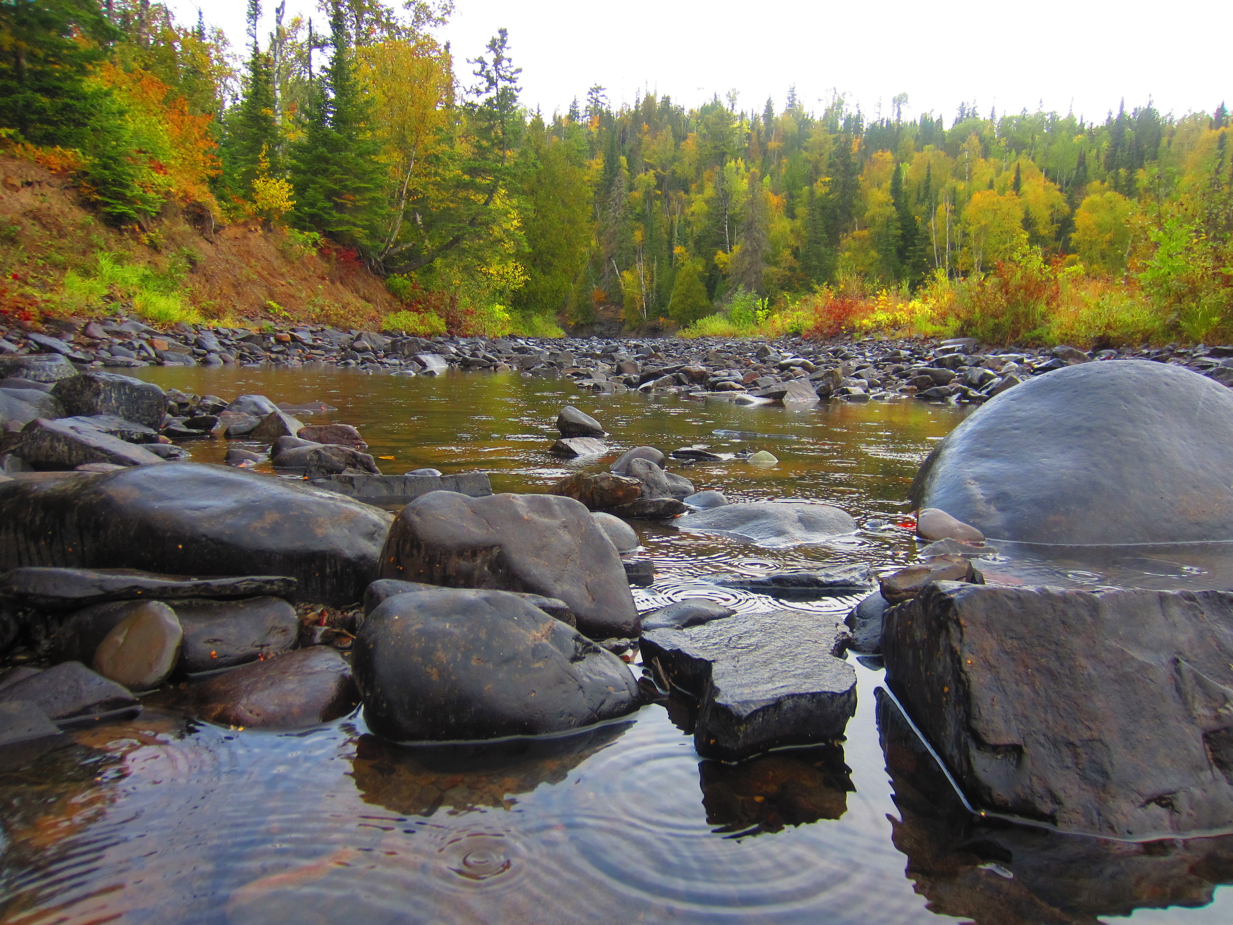
The Park: The 3000 acre park is located on the west shore of Lake Pepin, the widest and arguably most scenic section of the Mississippi River (and also the birthplace of waterskiing). A major flyway for migrating birds, ornithologists have counted as many as 260 different species of birds in the park. Only about half the park is accessible by trails and I would fairly arbitrarily divide that half into three sections. The first part is the river front. There is trail that cuts right along the bluff and goes down to the banks of Lake Pepin. You also get to see In Yan Teopa Rock - a religiously significant landmark to the American Indians in the area. The second area is the the inland region where the hiking club trail is located. In my opinion this is the most scenic section (and where most of these pictures are from). Finally there is Point au Sable (Sandy Point), the sight of an old French trading post on the far side of the town of Frontenac. If you have time, visit all three areas as they each offer a unique experience in the park.
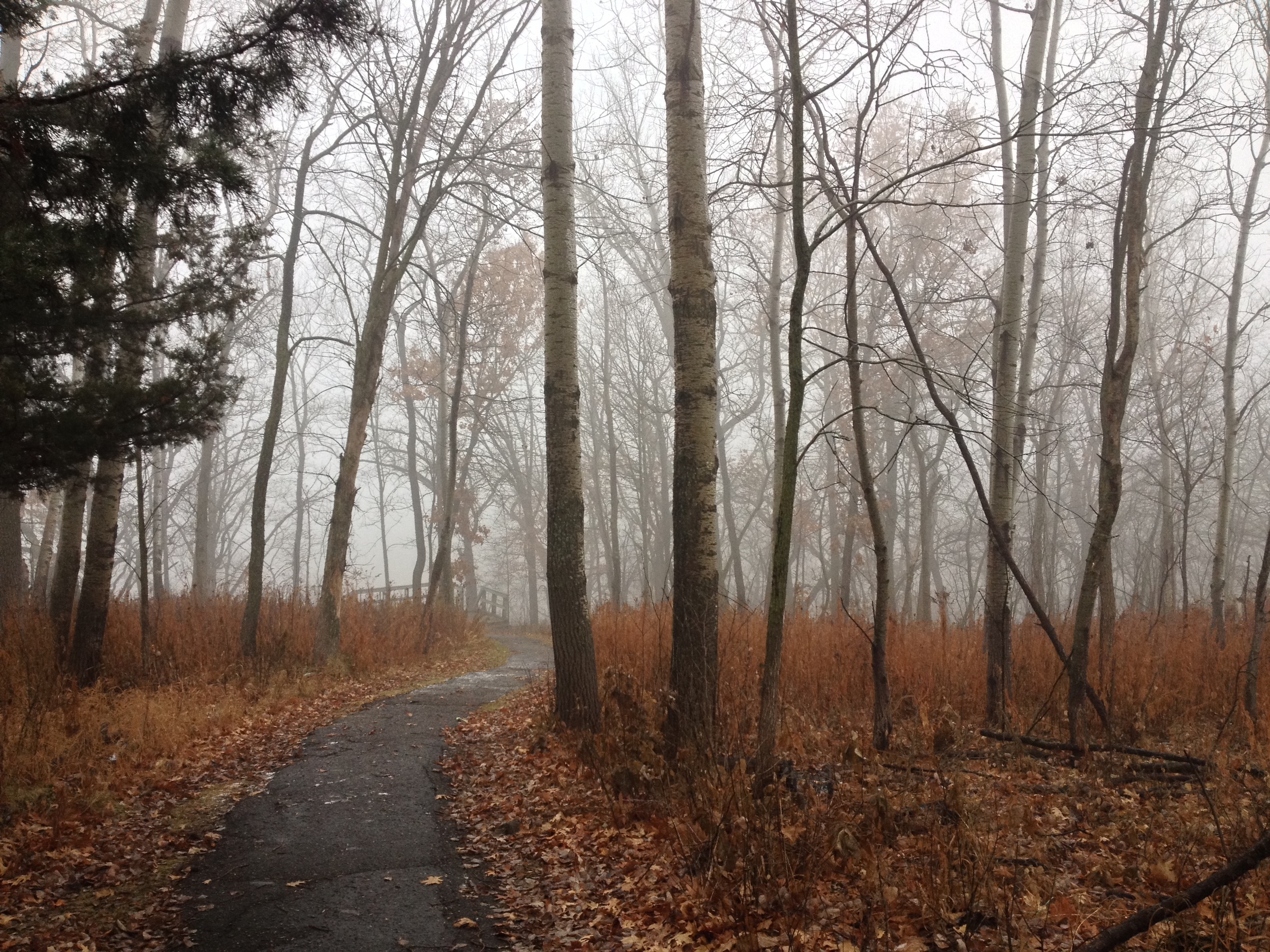
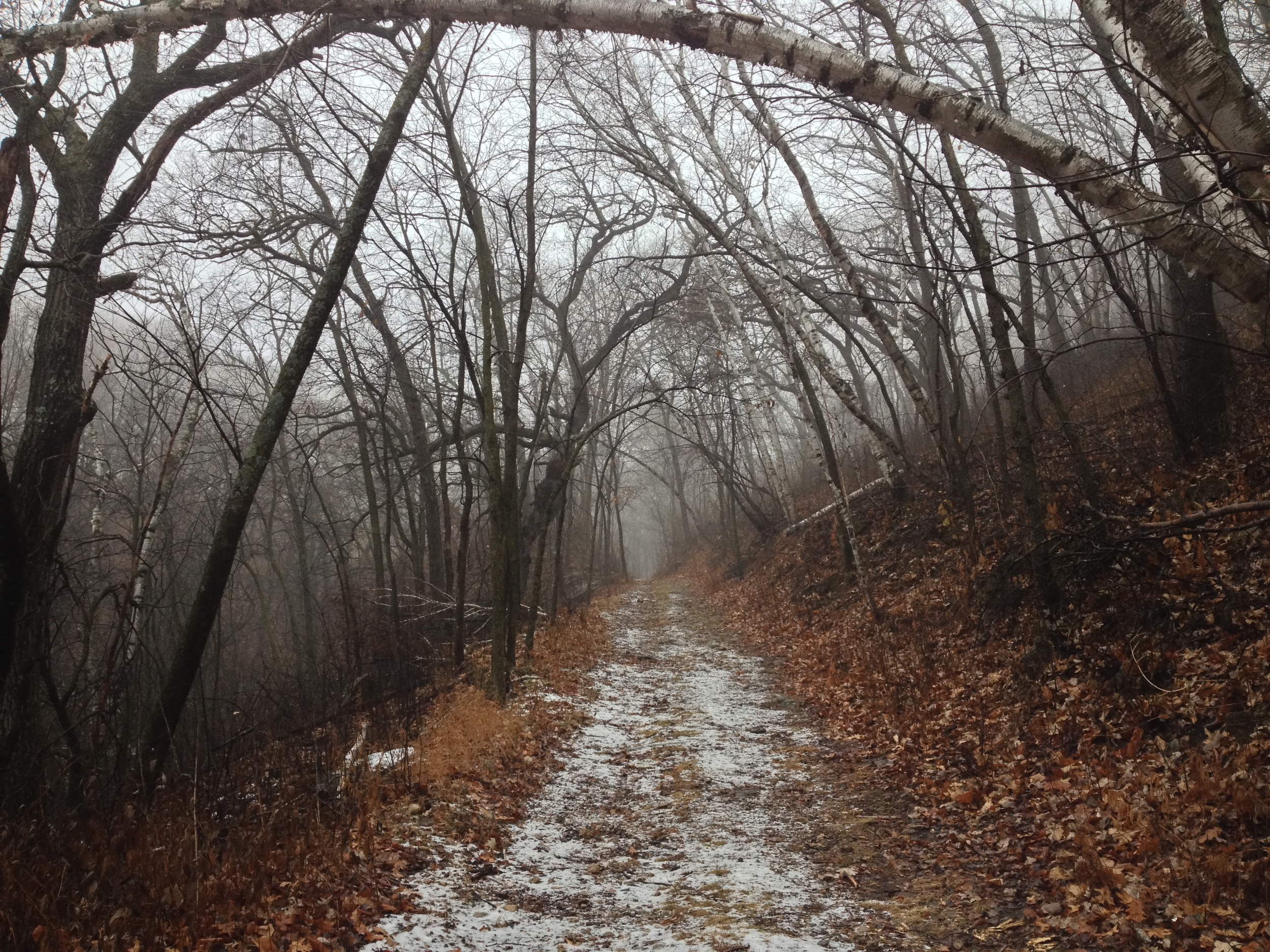
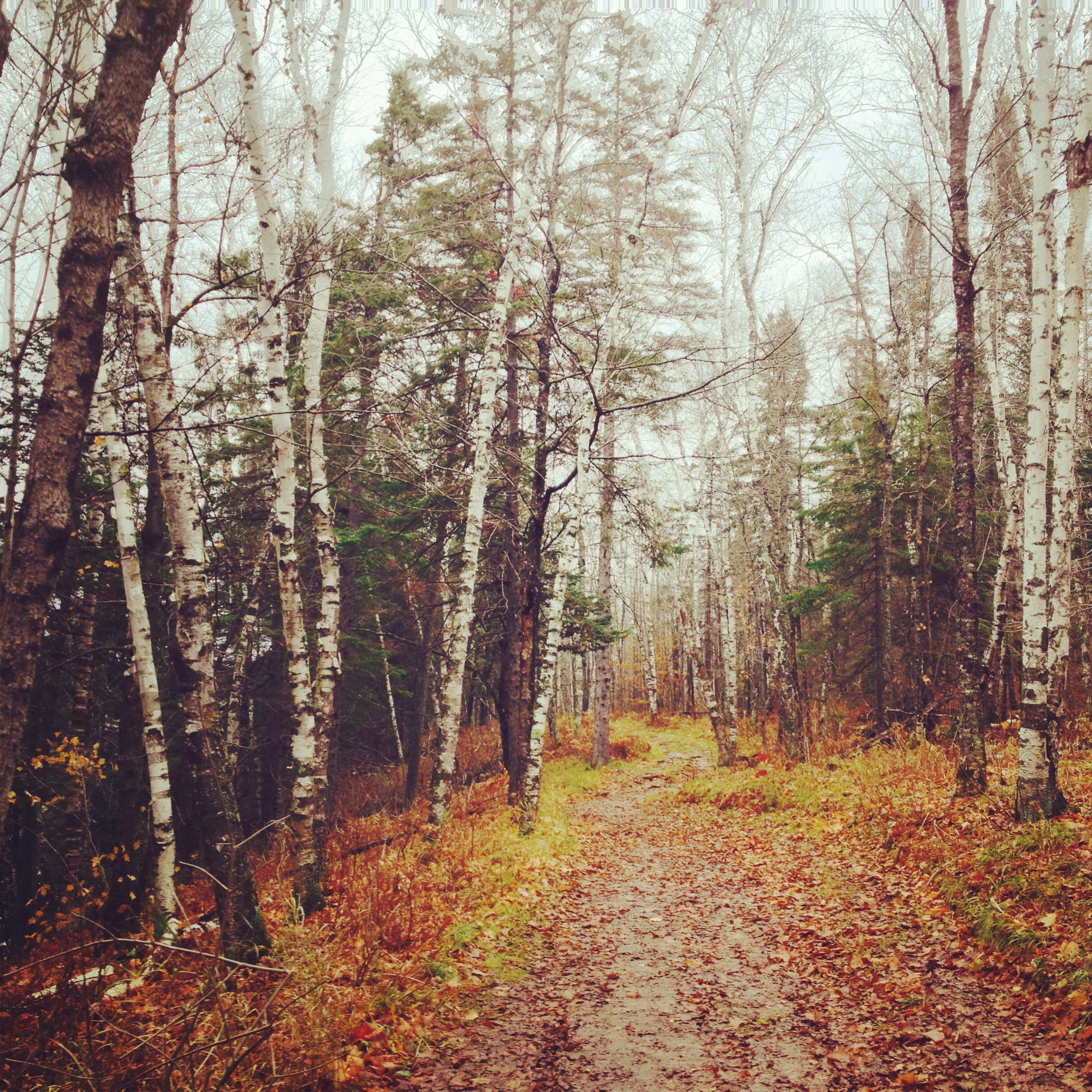
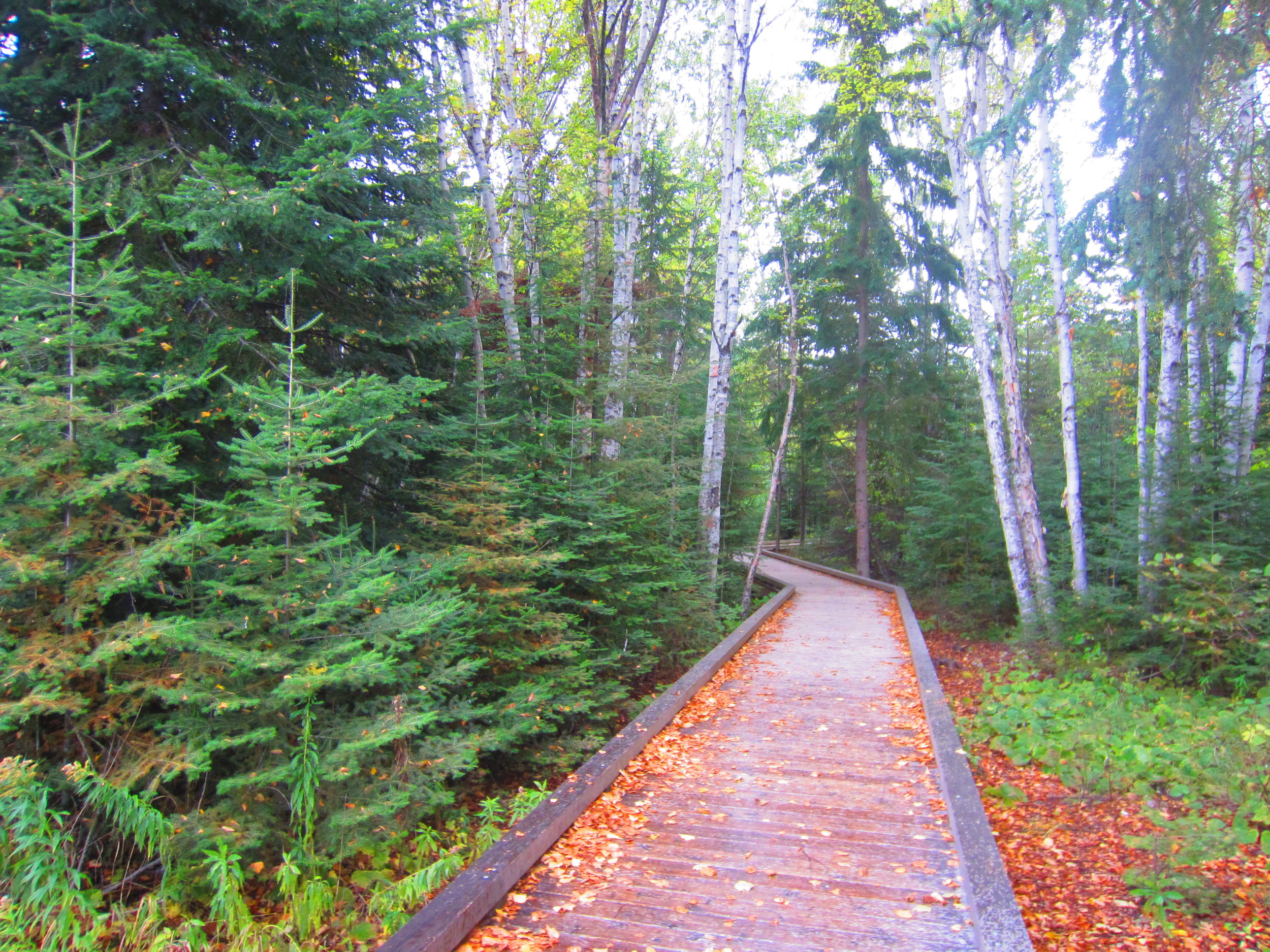
Birch trail with a dusting of snow at Frontenac State Park
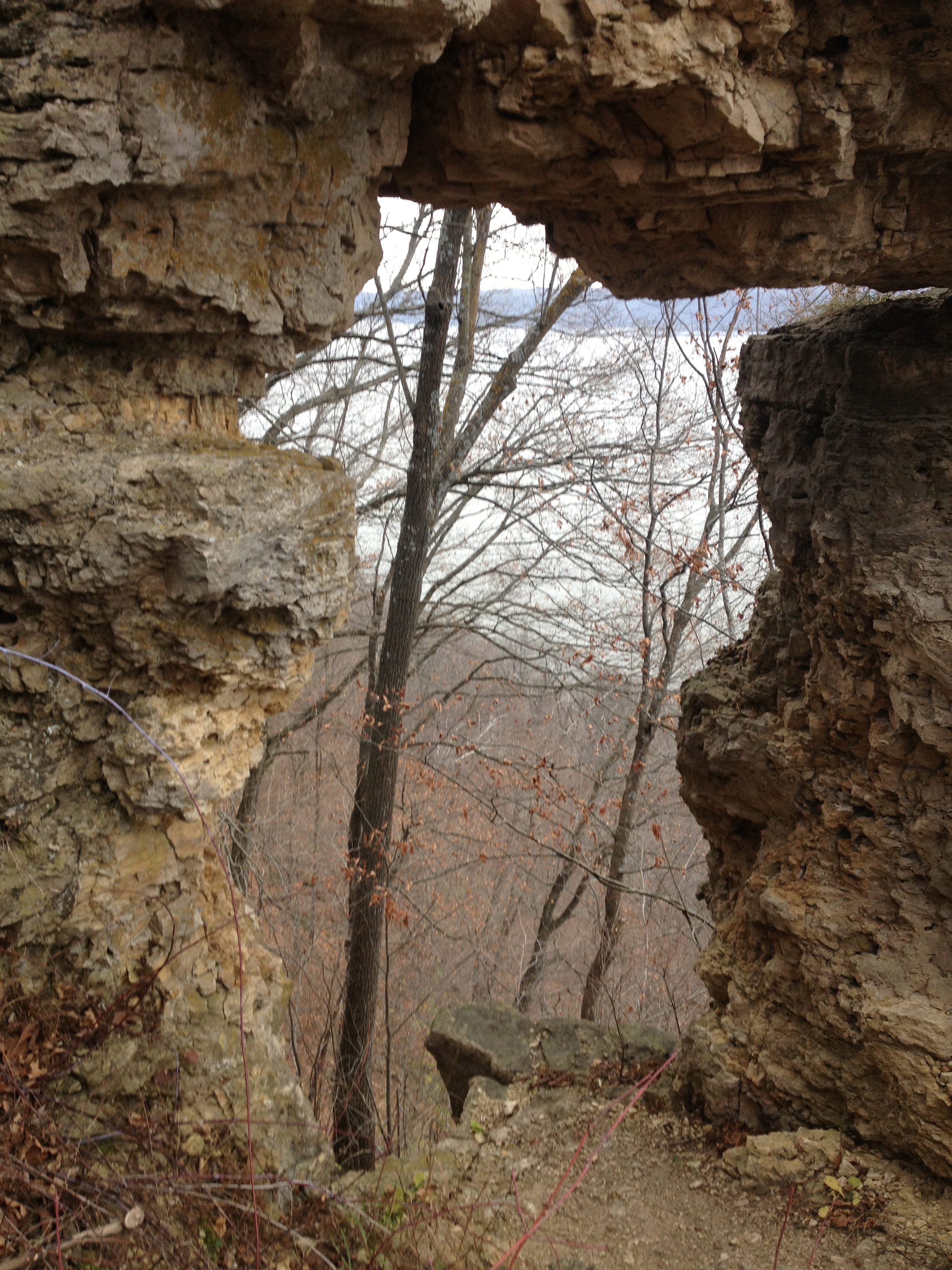
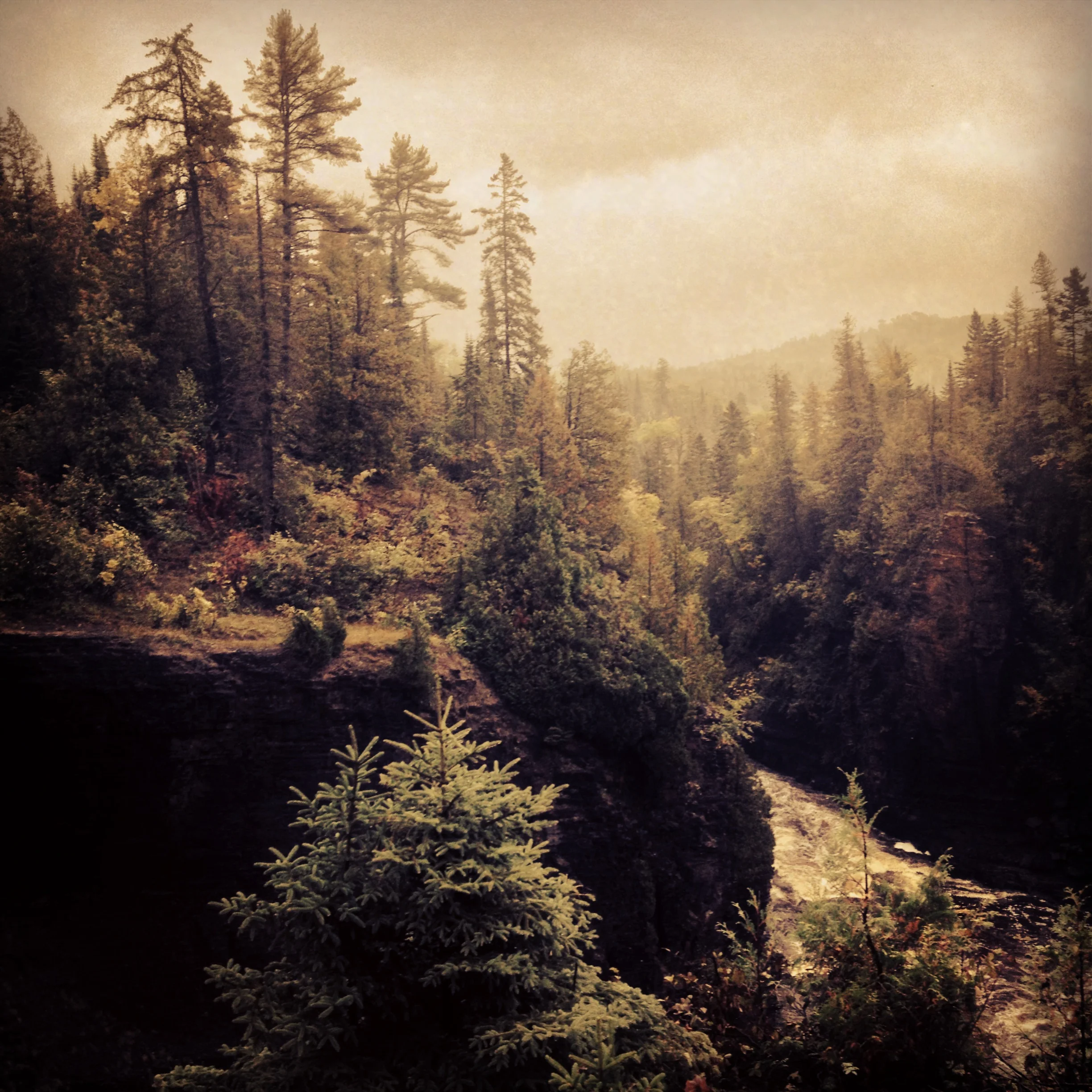
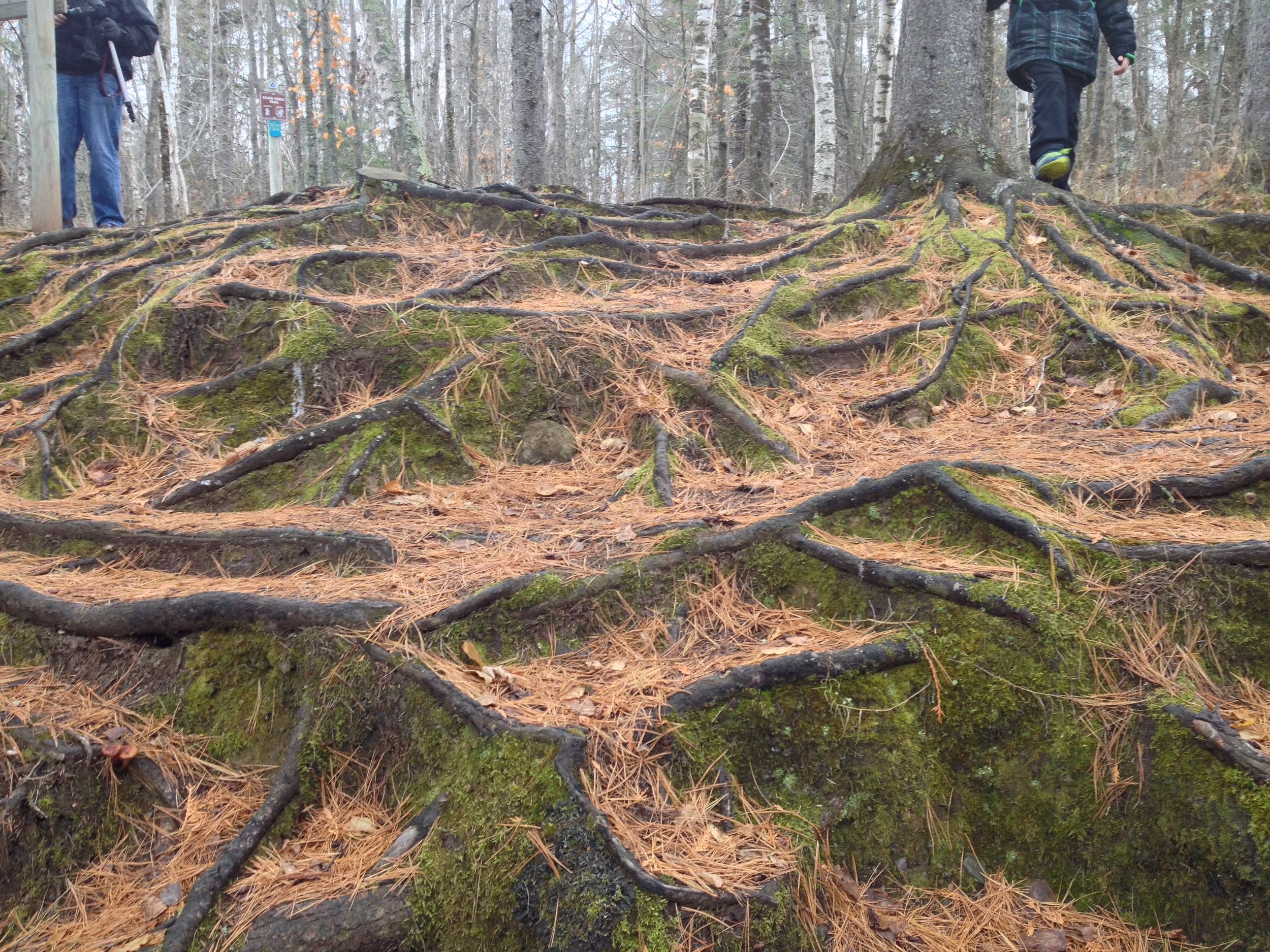
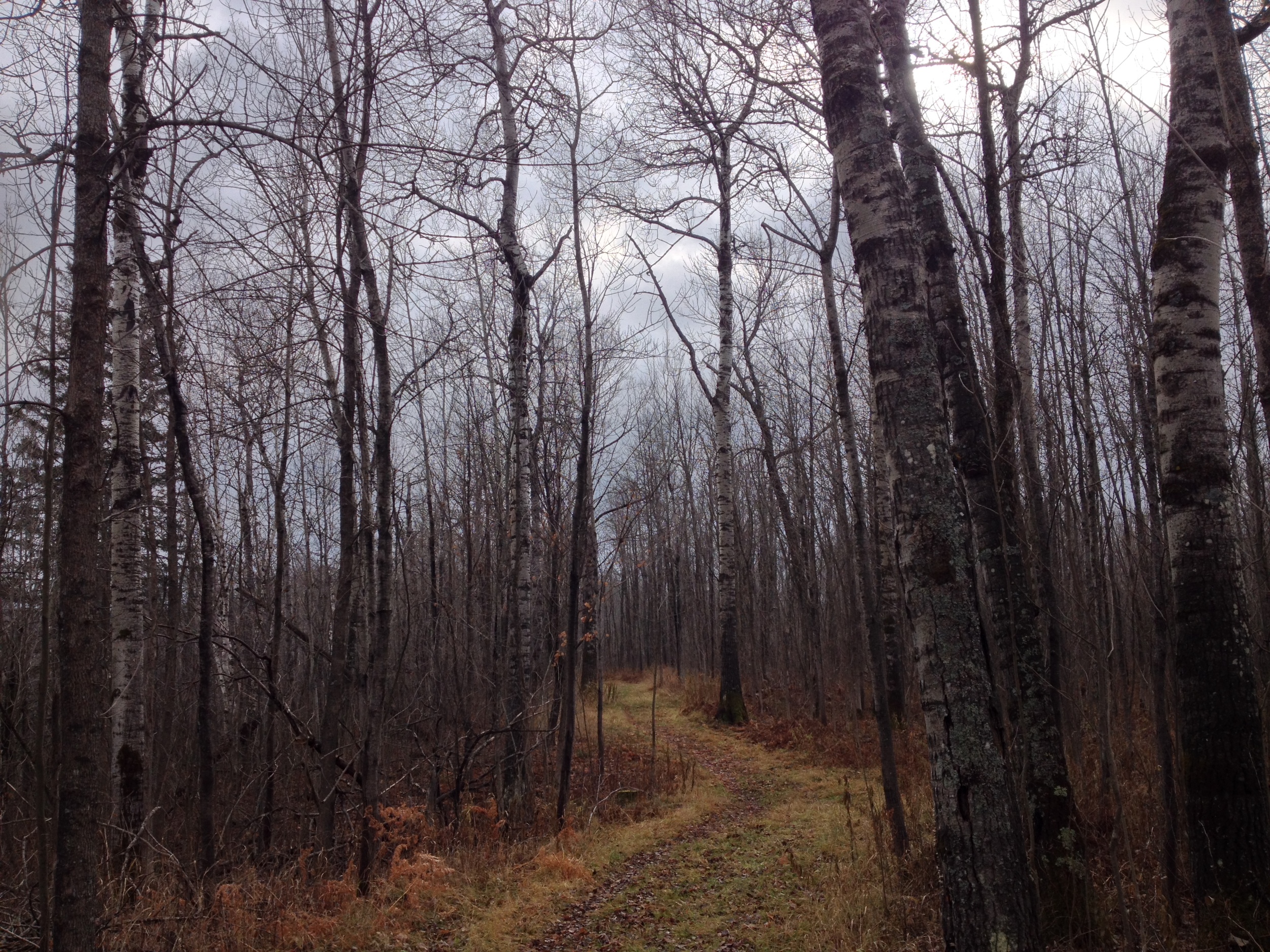
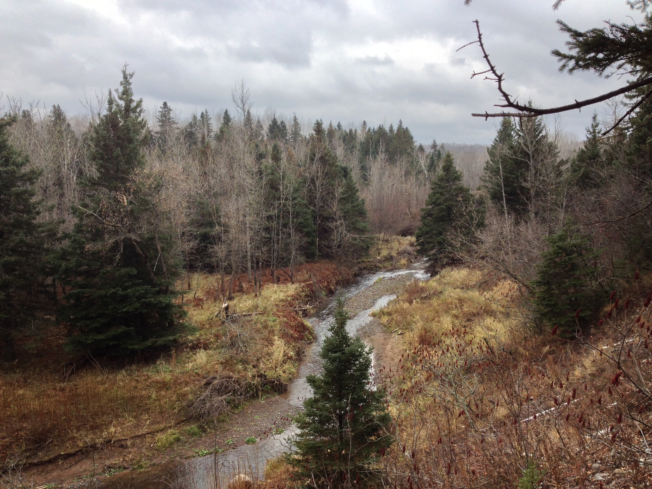
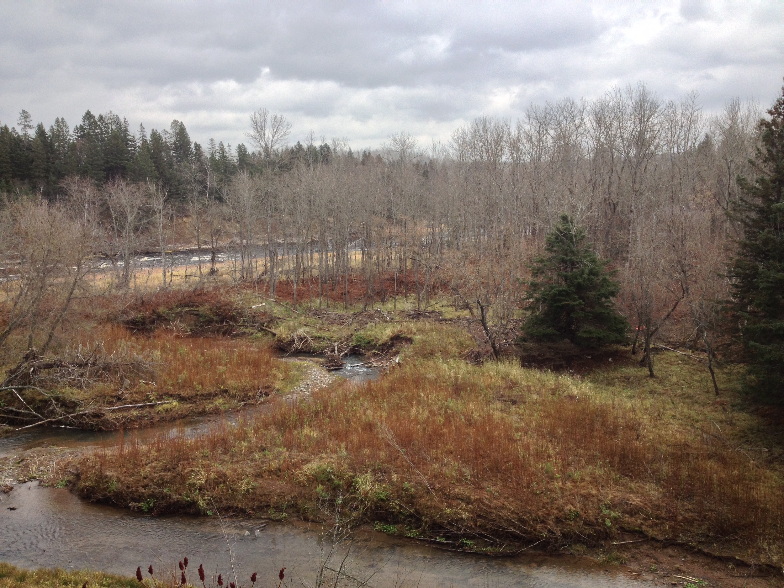
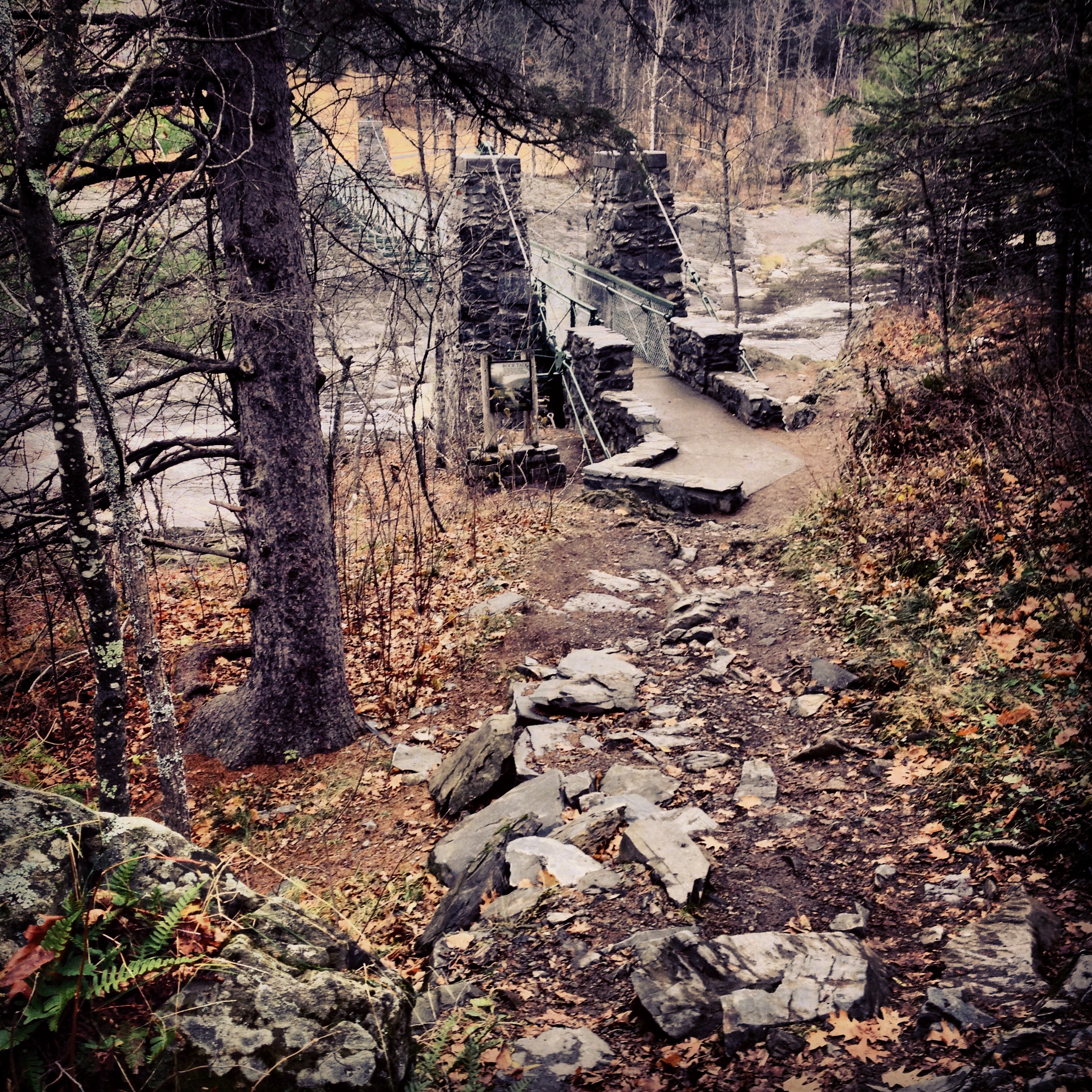
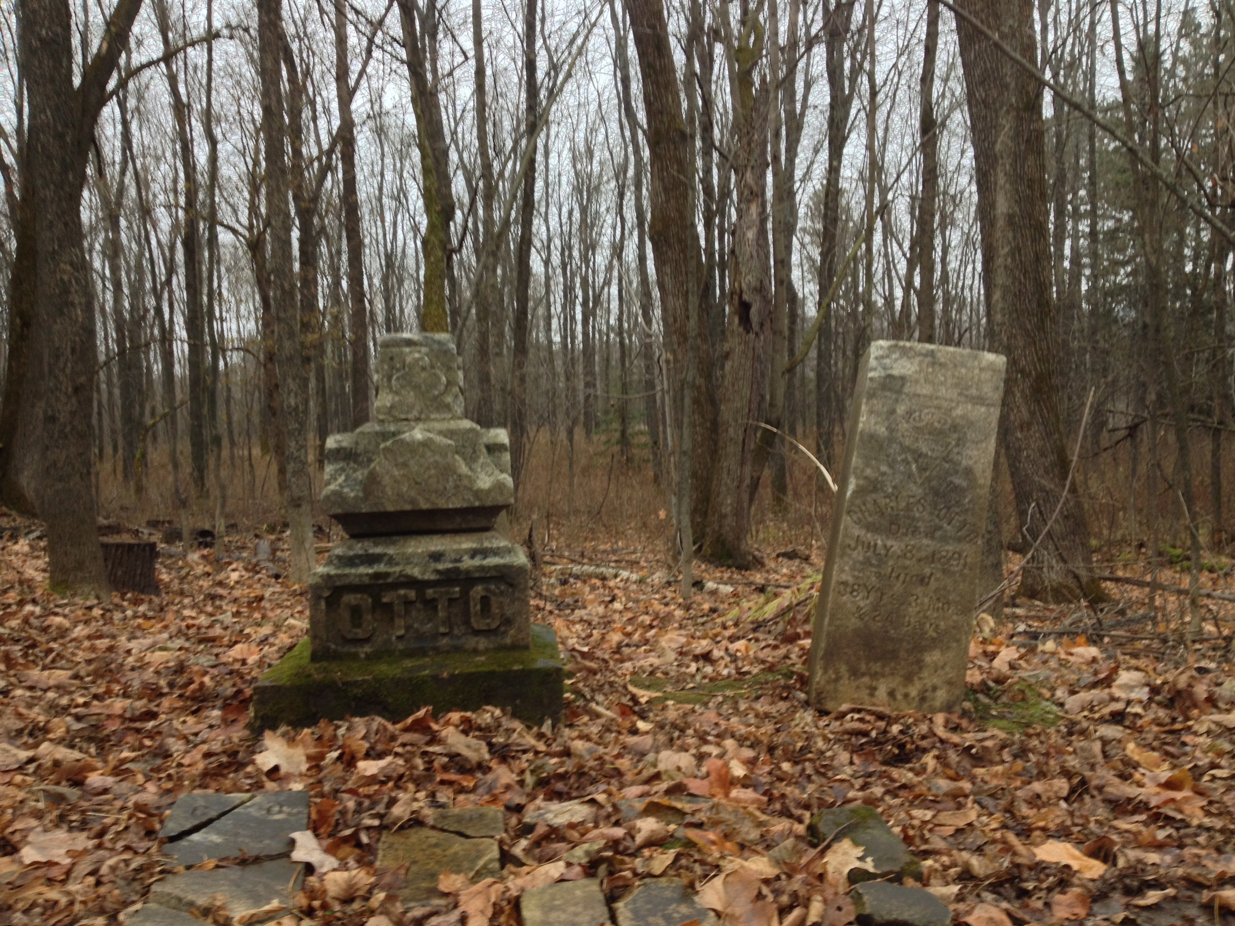
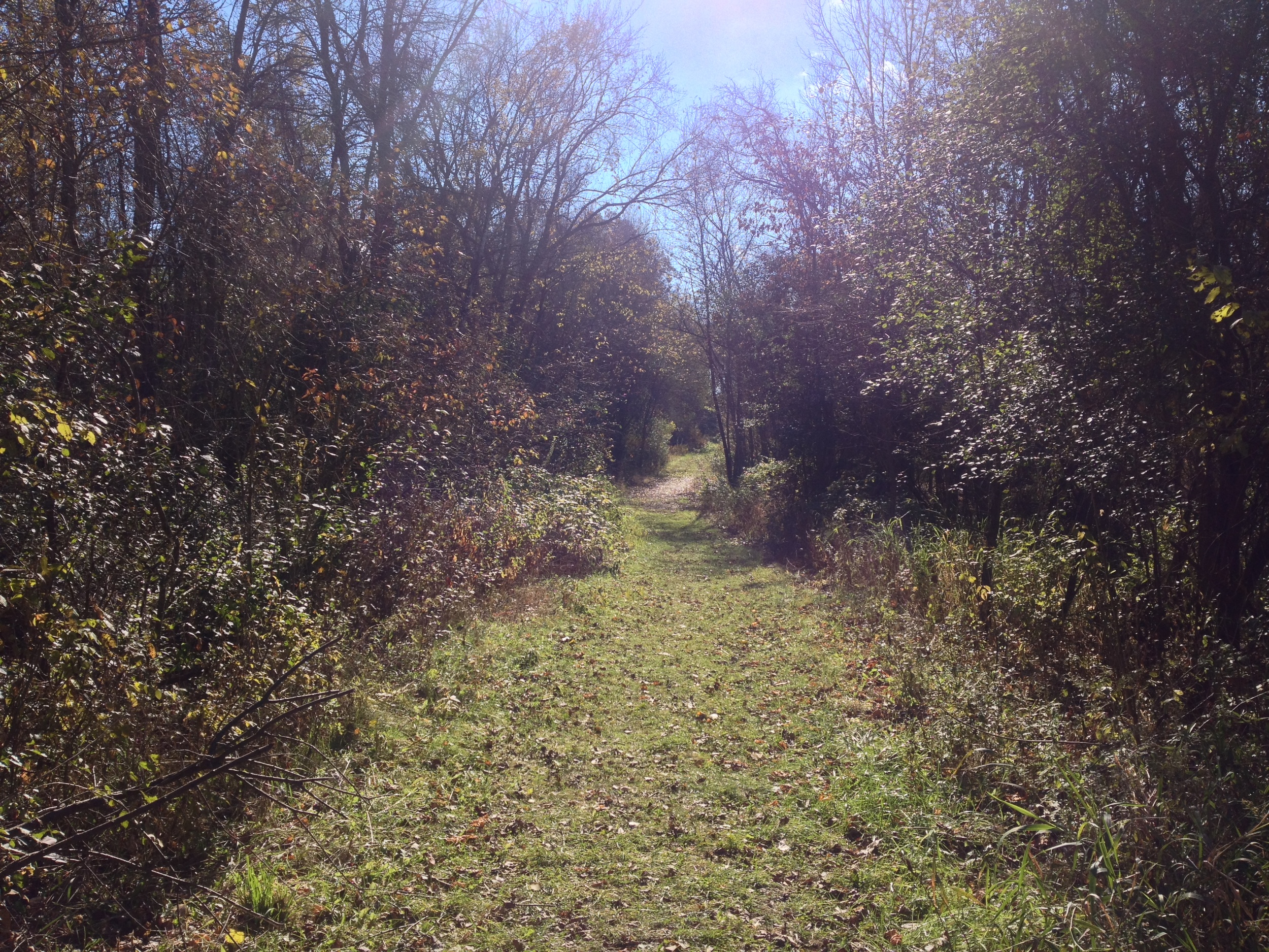
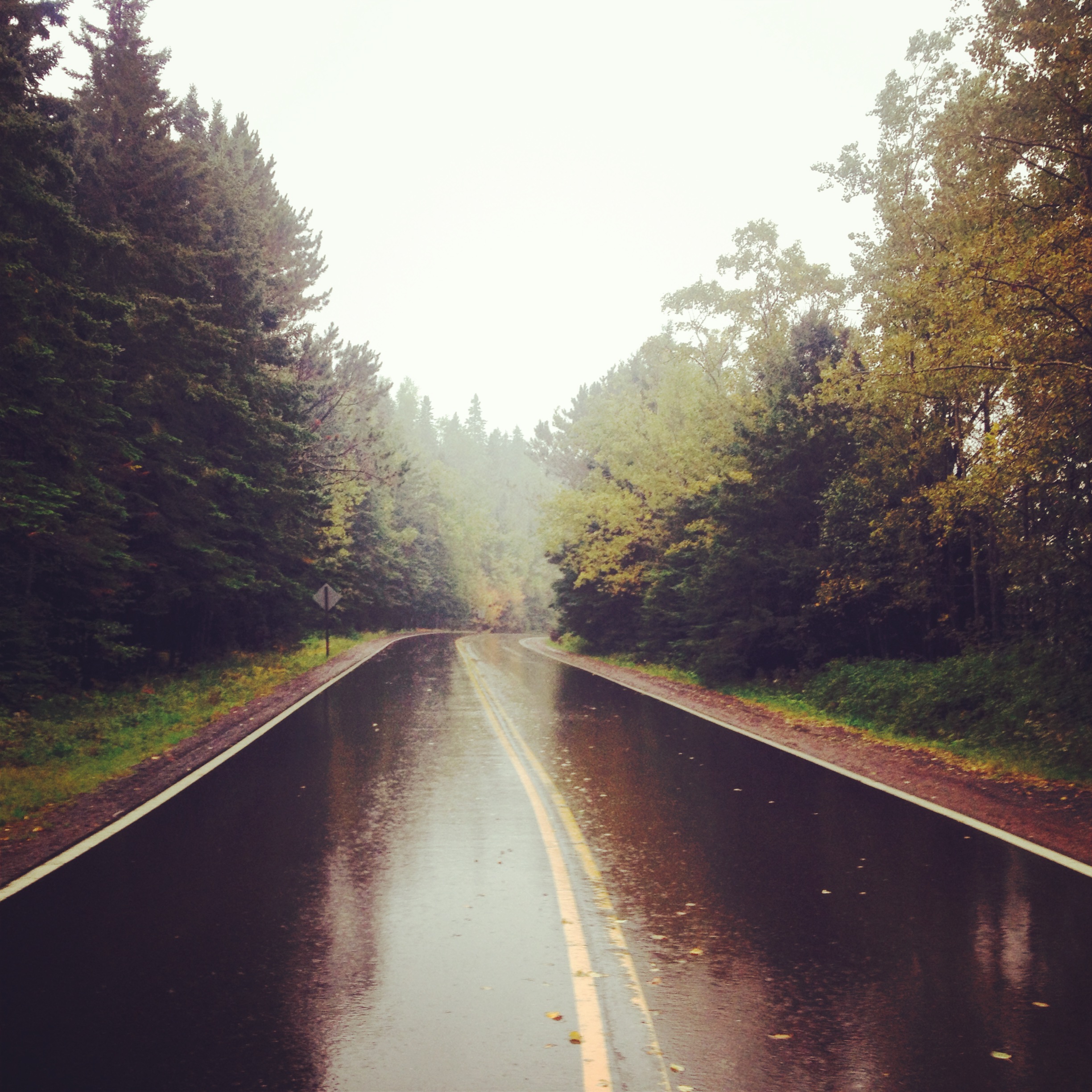
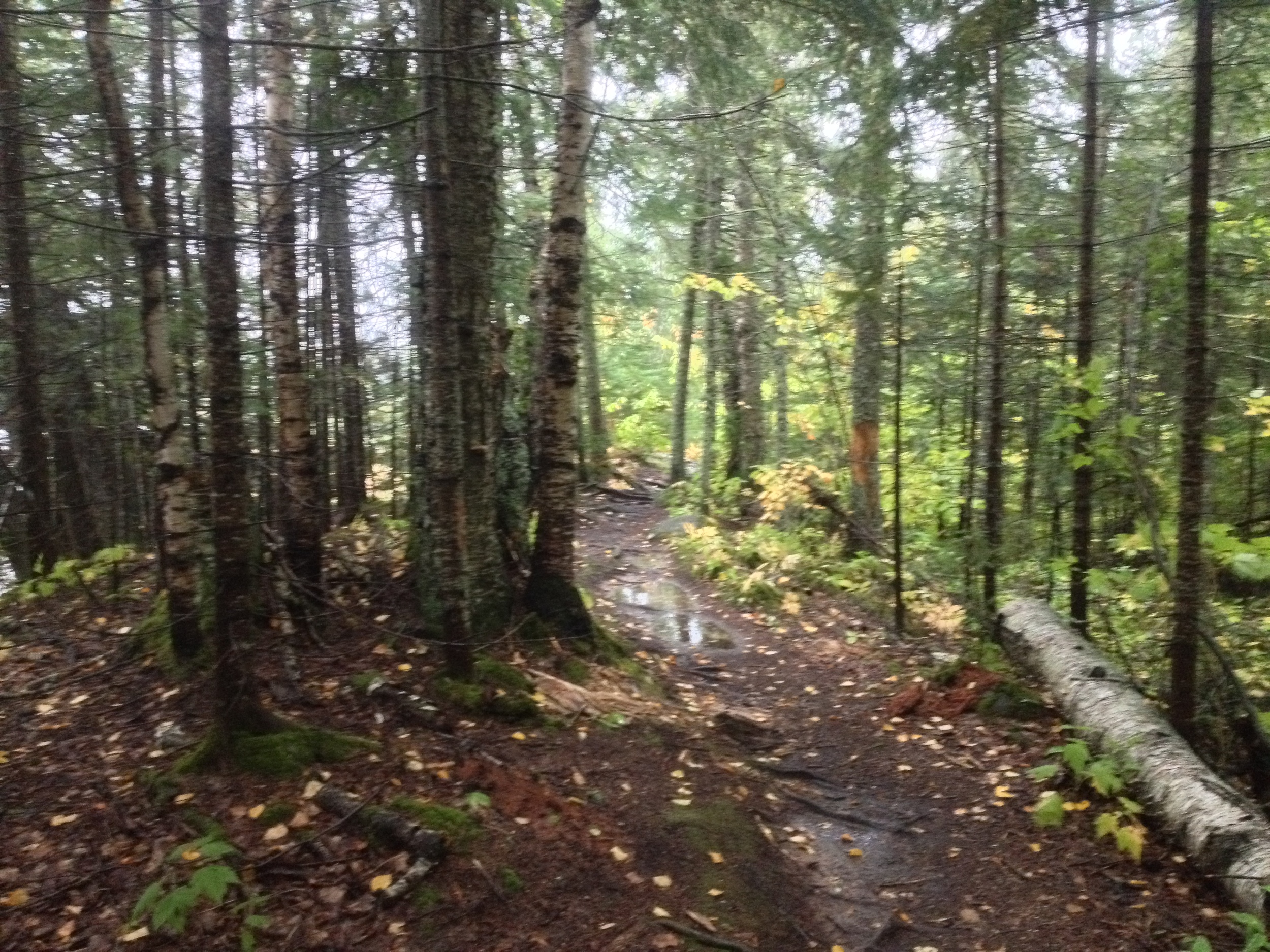
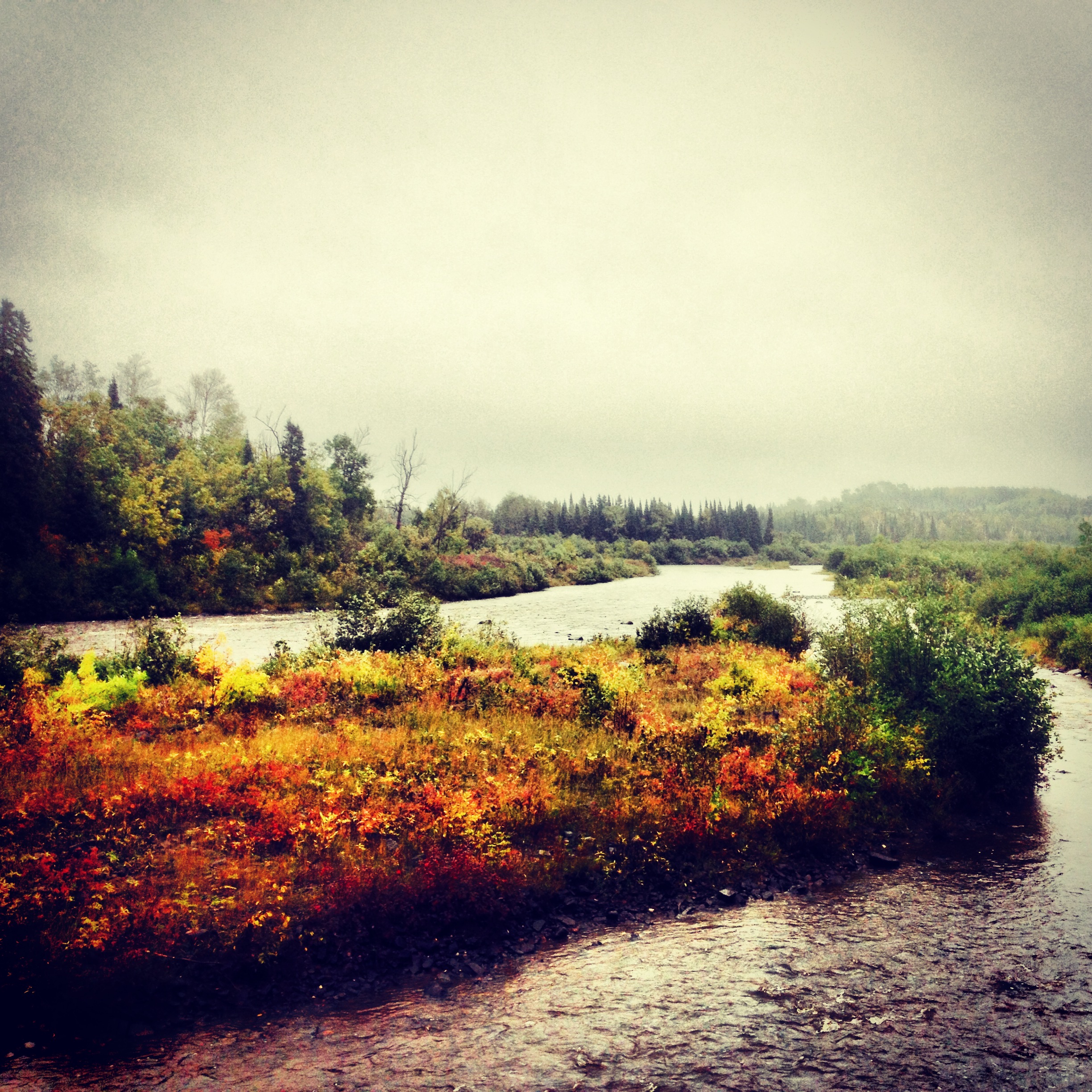
The Hike: On my first visit to Frontenac, we just hiked the riverfront trail and I wasn't too impressed, so I wasn't thrilled to be going back to check out the Hiking Club Trail. I am pleased to say, however, that the Hiking Club Trail well exceeded my rather low expectations. The trail starts at the main parking lot and immediately turns away from the river. It is a hilly trail, traversing forests and fields on its 2.7 mile loop through the park. About half way through there is an overlook of the river valley that I imagine would have been spectacular vista in fairer weather. Unfortunately, the thick fog left a blank canvas where the view should have been (but made for great pictures otherwise). Also keep your eye out for the three 1960's era cars mysteriously abandoned in a ravine on the way. Like most Hiking Club trails, this hike would be great at any time of year, but as long as you don't mind being a little wet and cold (and true hikers don't), it's hard to beat a foggy autumn afternoon during the first snowfall of the year.
Cumulative Miles Hiked: 58.1
Cumulative Miles Driven: 2610
Arbitrary Rating 4/5 (3/5 +1 for a foggy day)
Biome: Eastern Broadleaf Forest
Region: Blufflands
