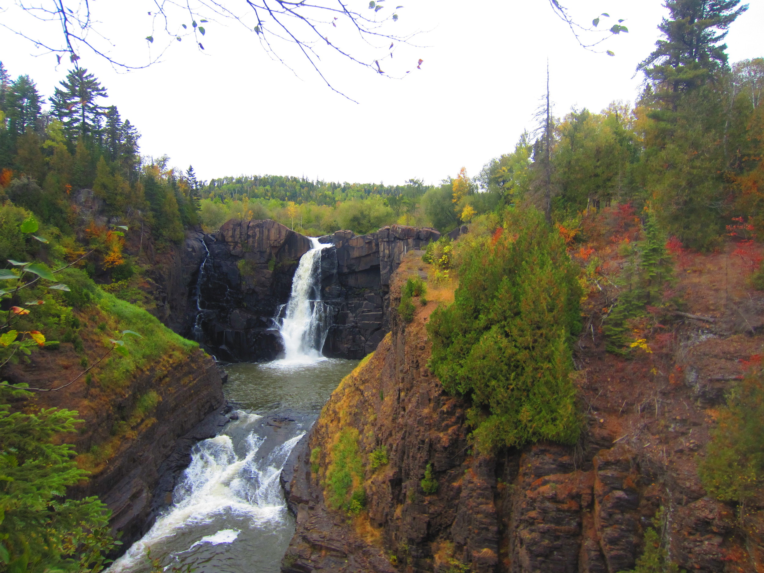
Waterfall

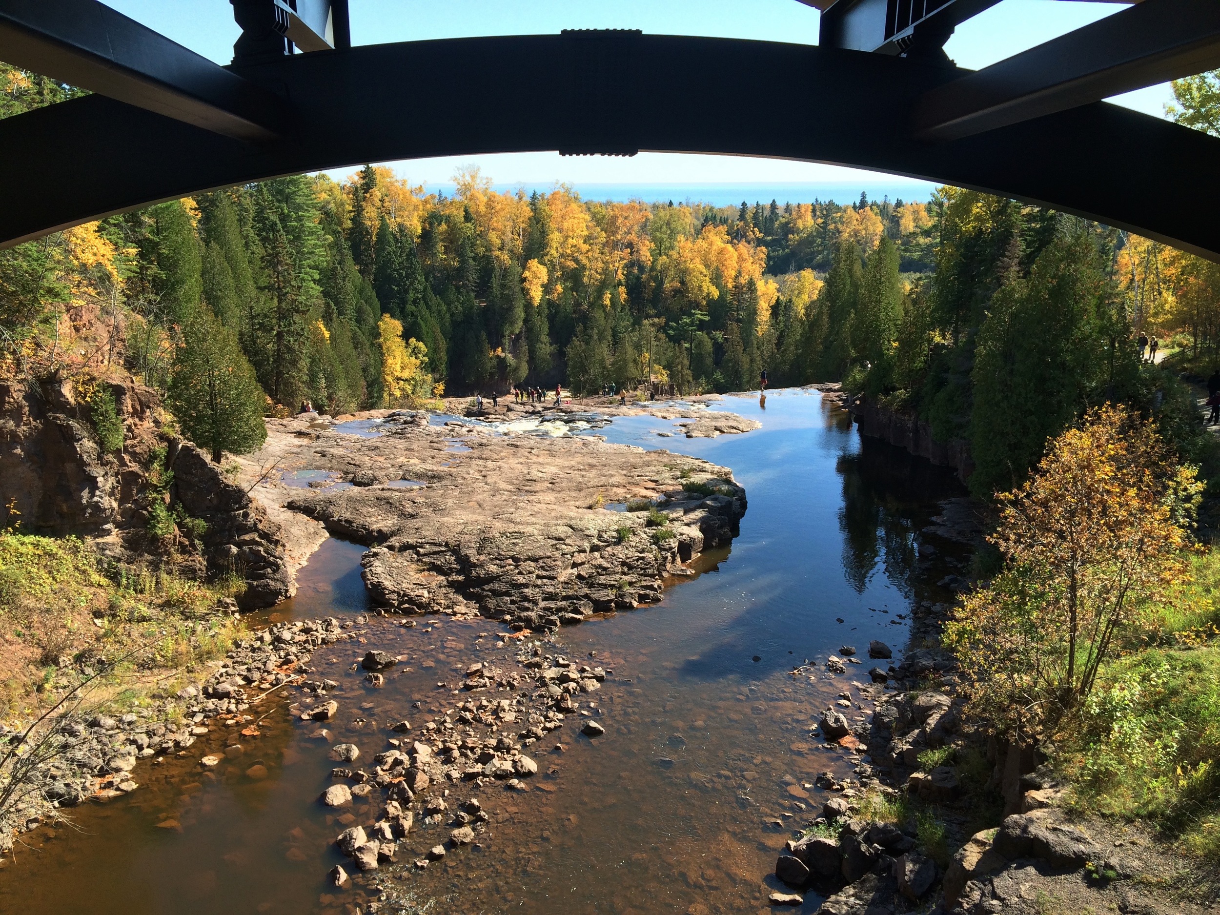
Gooseberry Falls State Park

Highlights:

-Close to Duluth

-Waterfall

-Basalt Flow Picnic Ground

-Lake Superior Cliffs

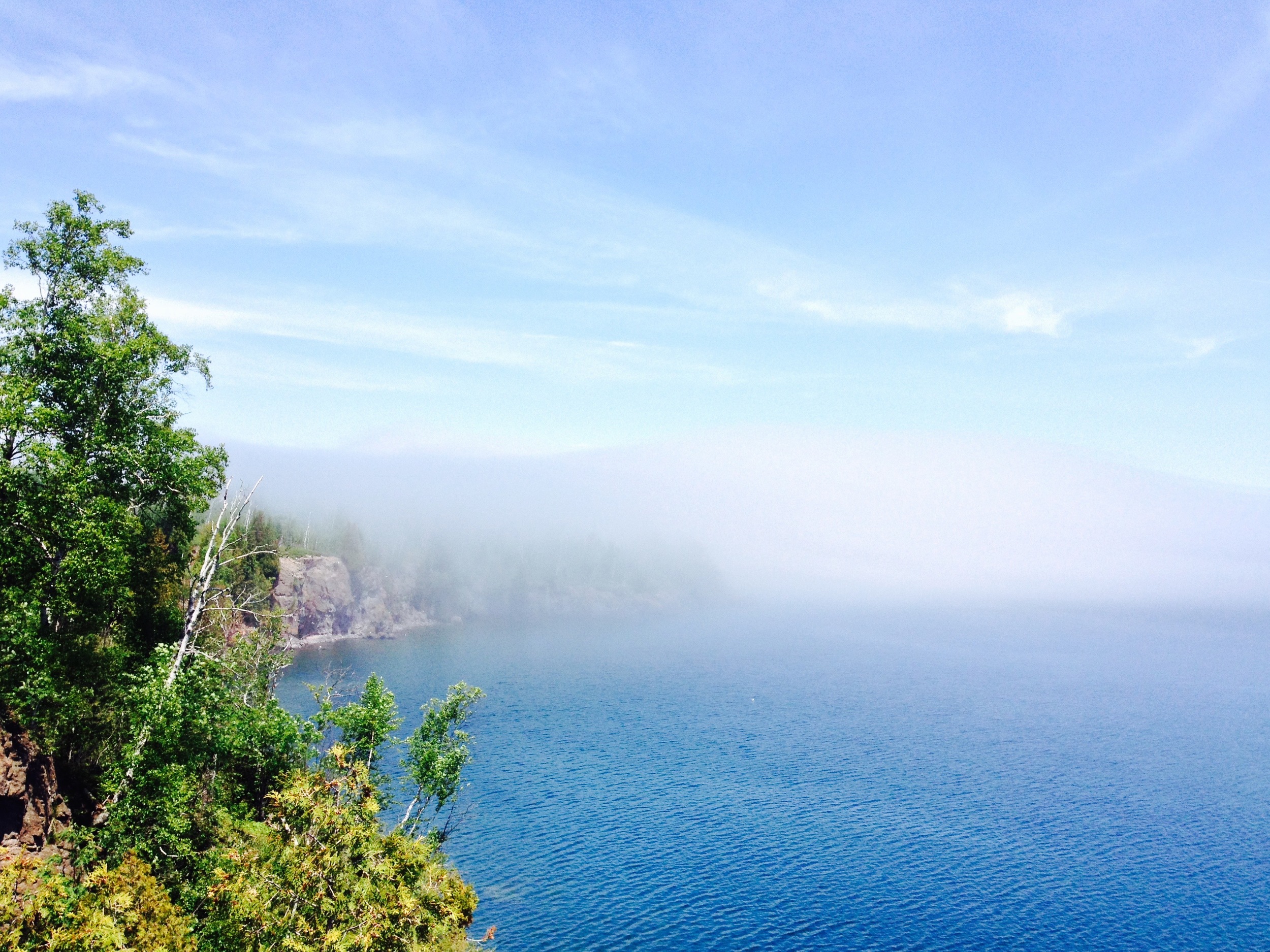
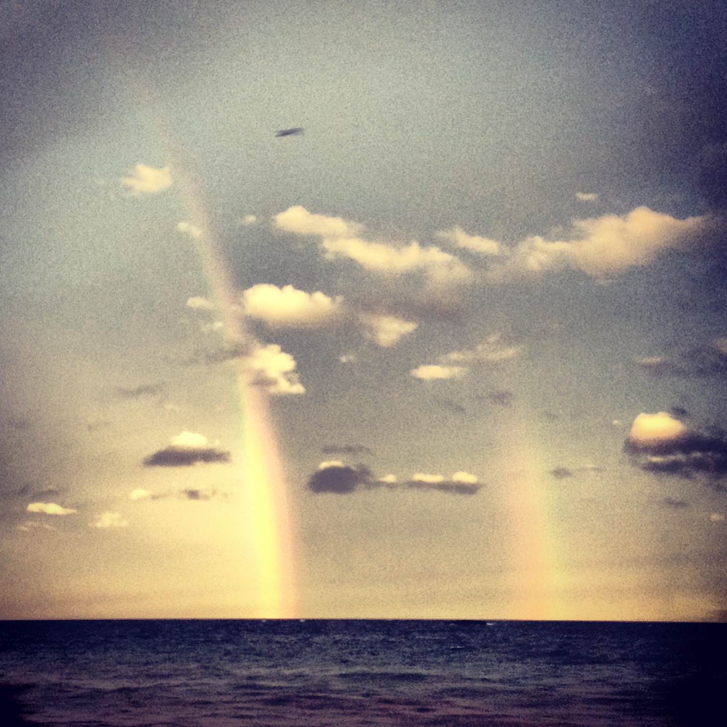
Micro-Bouquet at Lake Superior 

The Drive

There are two routes from Duluth to Gooseberry Falls. The Hwy 61 Expressway to Two Harbors for those in a hurry and the North Shore Scenic Byway. I shouldn’t even have to say this, but take the scenic byway. If you do, make sure to stop at Stoney Point. Lake Superior’s premier winter surfing spot, Stoney Point is a great first look at Lake Superior. Clamber on the rocks and see if you can find the abandoned fishing houses along the shore. If you’re hungry, Betty’s Pies is another pit stop worth making on the way.

The Falls Themselves 

The Park

With its iconic waterfall, Gooseberry Falls is one of the state’s most popular parks. While the waterfall area is definitely worth exploring, the 1,600-acre park has much more to offer. Several trails leading from the waterfall – two down to the lake and another up to another set of falls higher on the rivers – will open up areas of the park that are free of crowds, but just as spectacular. And don’t miss out on the picnic grounds. The grounds are located on an ancient basalt lava flow that ends in a series of cliffs along the lake and is my favorite part of the park.

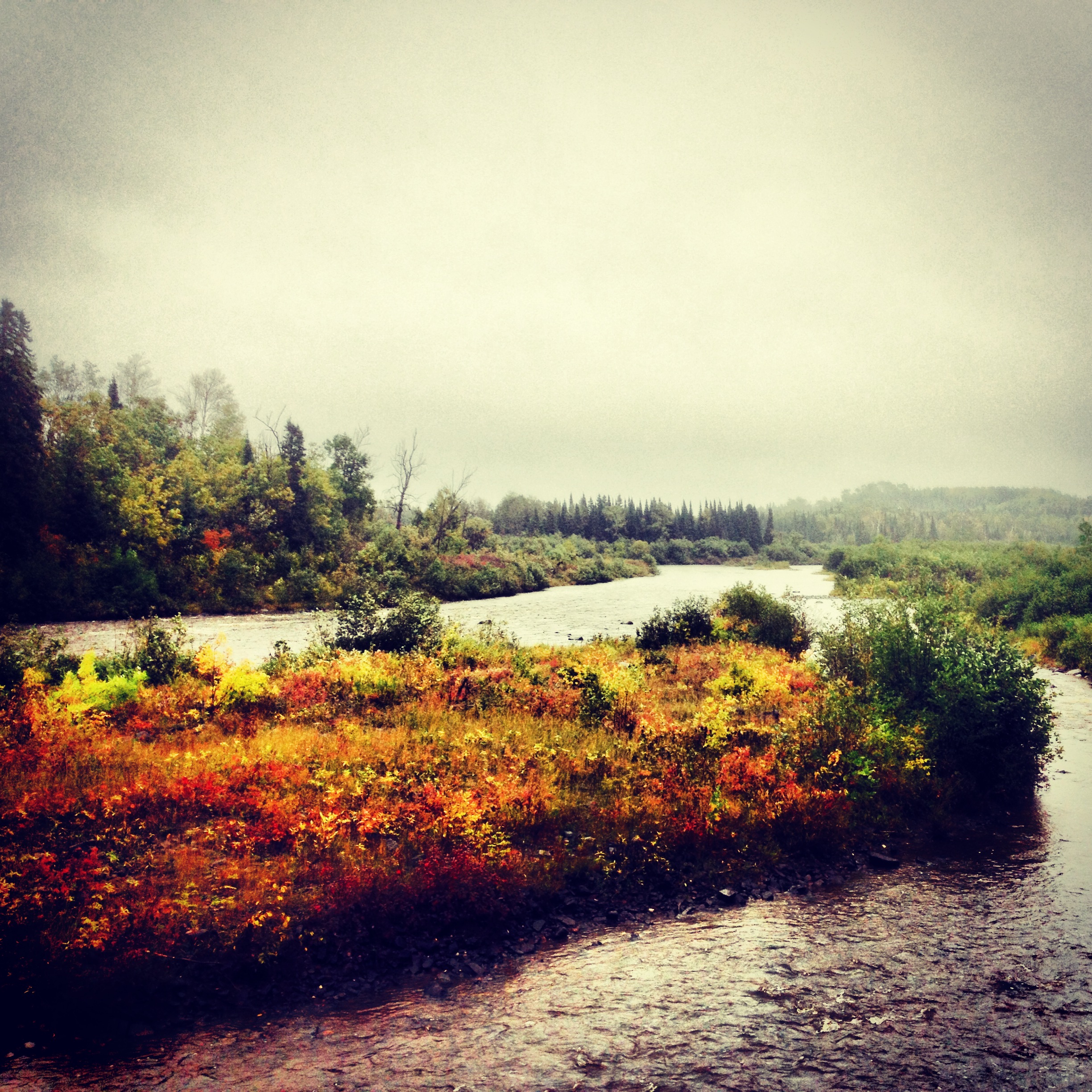
Foggy Day at the Picnic Grounds 

The Trail

The hiking club trail begins on the east side of the falls and follows the windy river to the shore. Unlike the trail’s twin on the other side of the river that leads to a rocky beach, the hiking club trail terminates on a high cliff overlooking the Gooseberry River’s mouth. You’ll begin by climbing through an open birch forest with great views of the valley.  After hitting Lake Superior, the trail follows the shoreline for a while before looping back through the mixed cedar/aspen forest. This is a great hike for the fall when the aspen turn gold and the lake is stormier.

Arbitrary Rating: 5/5​ 

Grand Portage State Park

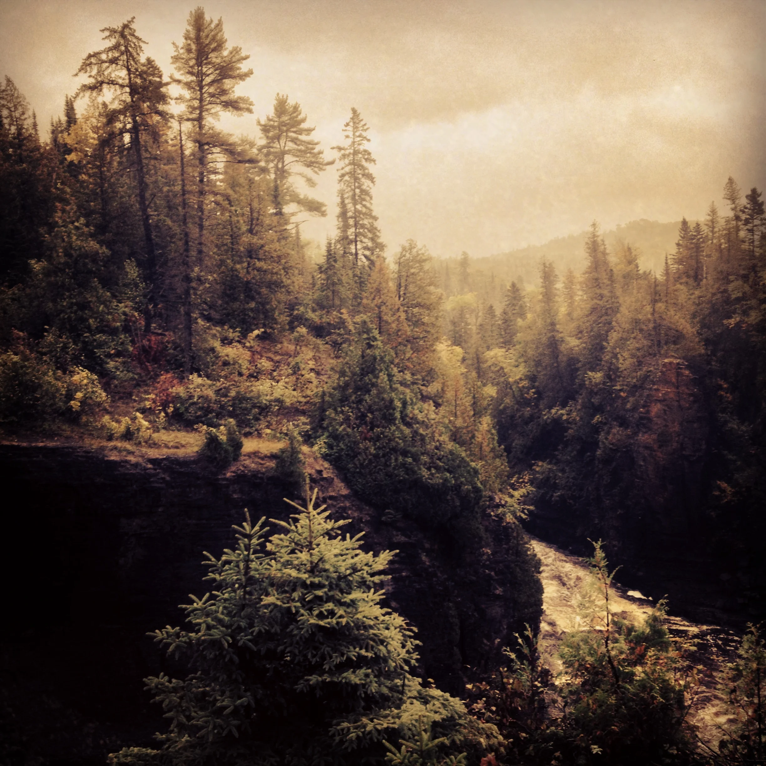
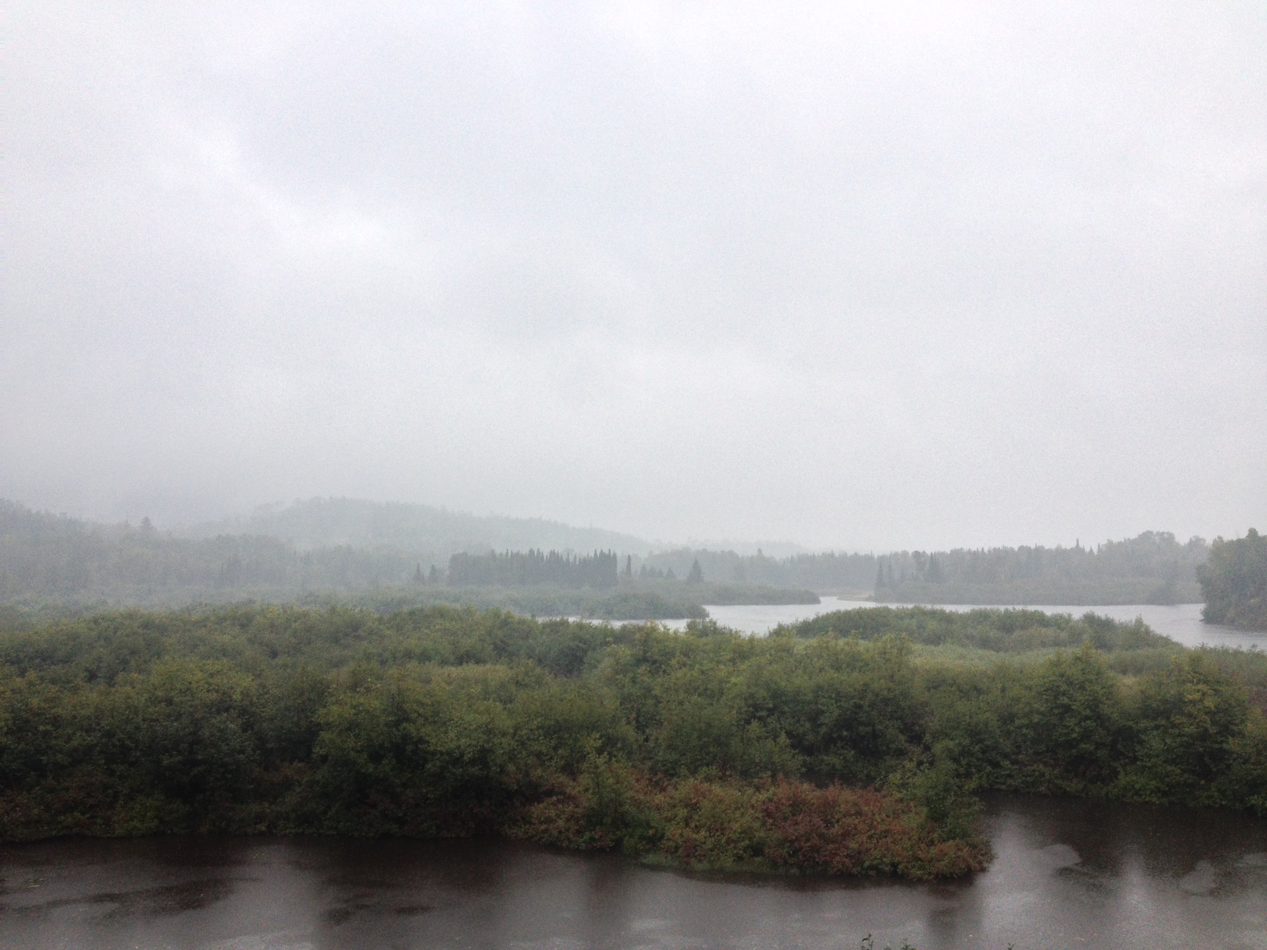
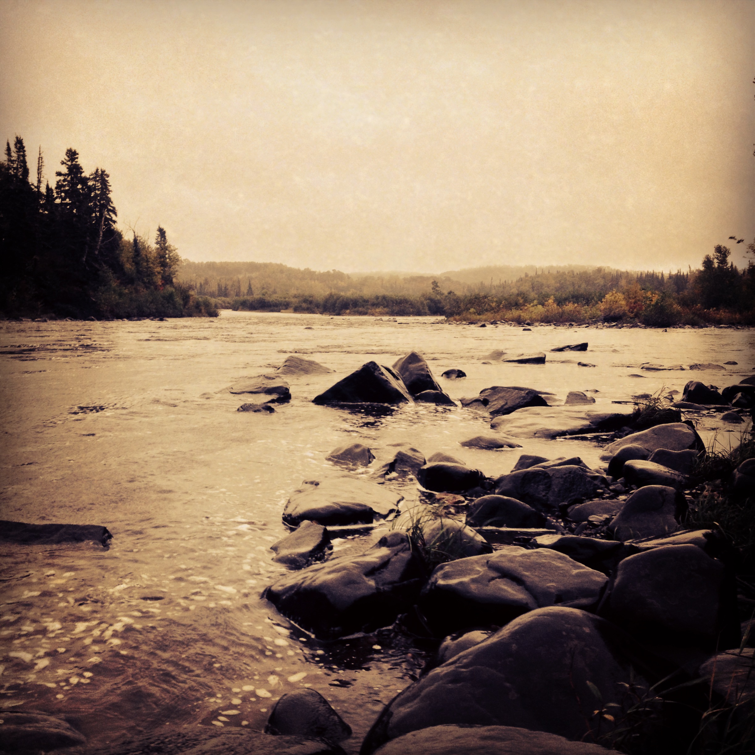
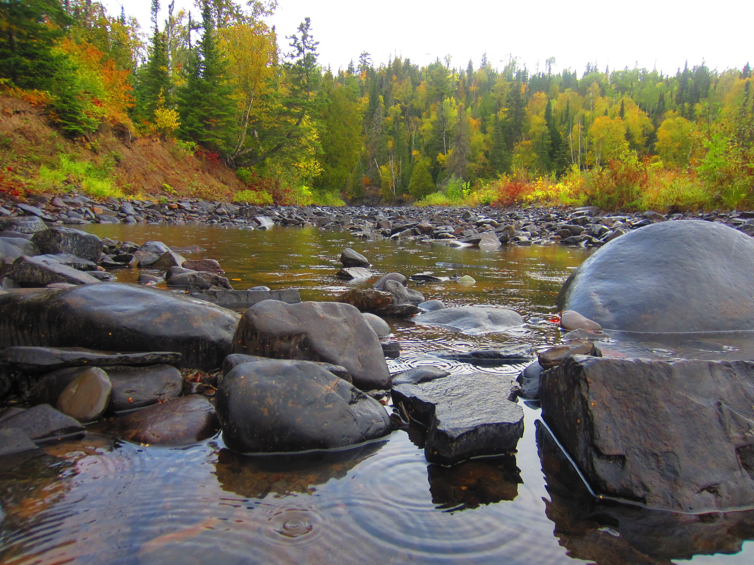
The wilderness of Grand Portage State Park. That's Canada over there! 

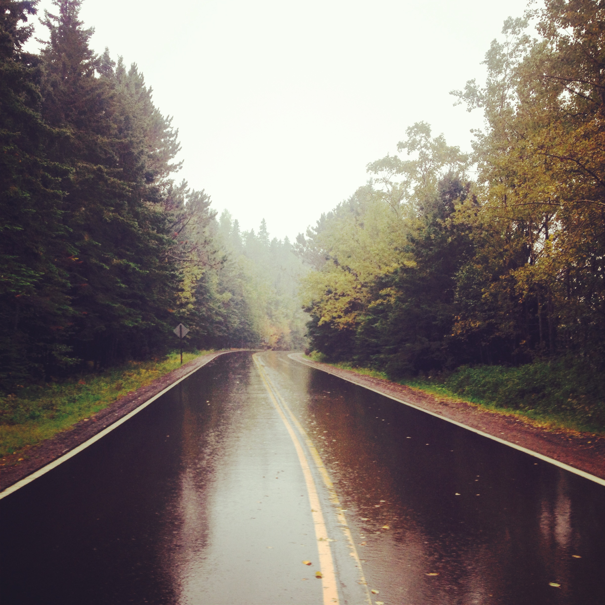
The Drive: The drive to Grand Portage took us the rest of the way to the Canadian Border, thus completing the North Shore Drive. It is also probably the most scenic section of the byway. The road cuts through the main section of the Sawtooth Mountains, Superior National Forest, and the virtually uninhabited stretch between Grand Marais and the Grand Portage Reservation. The cultural highlight of this drive is Grand Marais, the largest town between Two Harbors and Thunder Bay, ON. Situated at the head of the Gunflint Trail, Grand Marais is the hub of Arrowhead outdoor sports, art, and tourism. Originally a fishing town, Grand Marais is still the best place to get lake trout and no stop is complete without a visit to the famous (but not very good) pizza joint Sven & Ole's. Spend an hour of so exploring the community before heading up to Grand Portage.

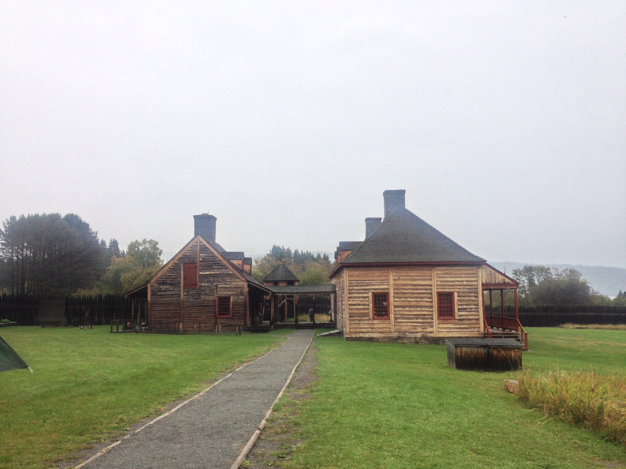
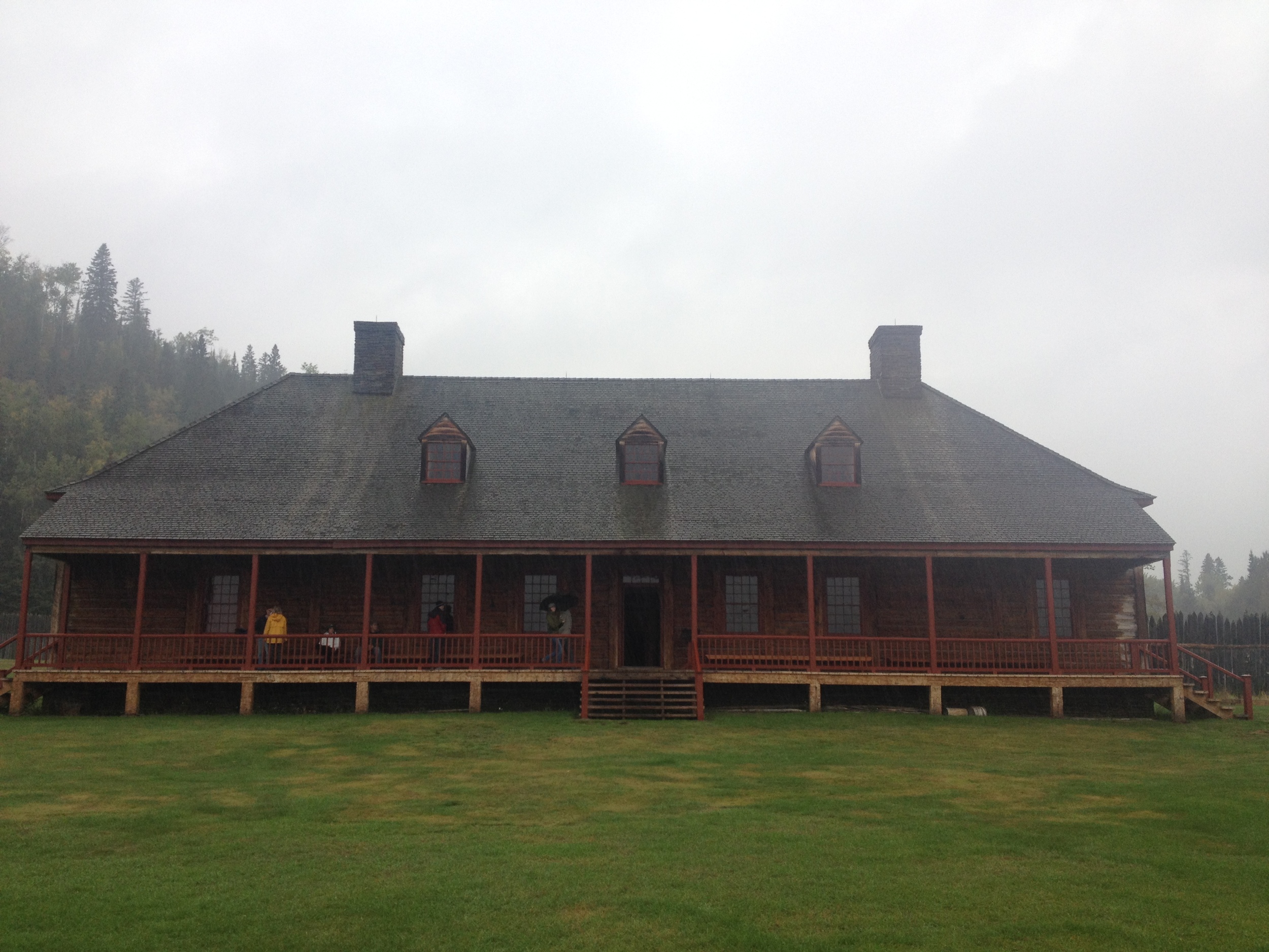
The reconstructed trading post at Grand Portage National Monument. 

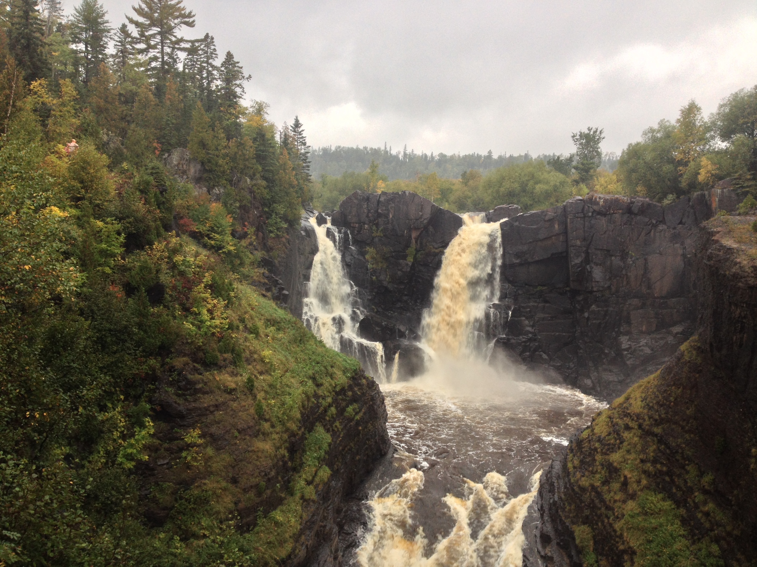
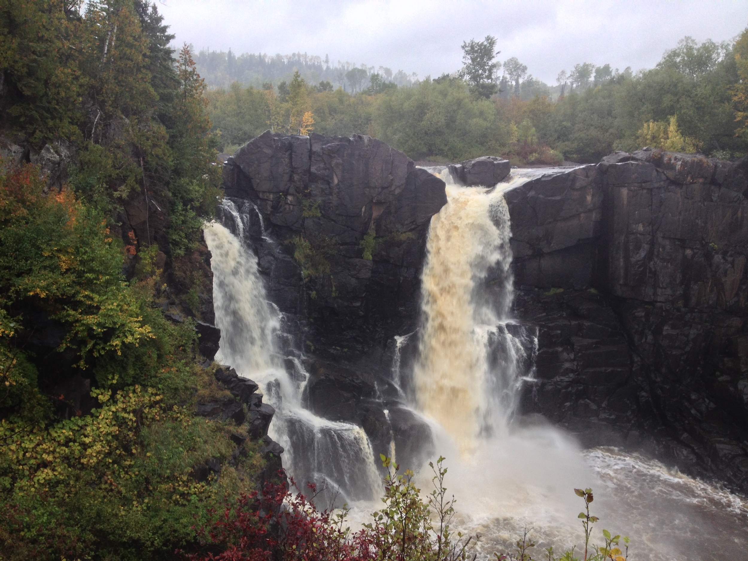
The Park: Grand Portage State Park is the only park in Minnesota not owned by the state of Minnesota. Because it is located within the Grand Portage Band of Lake Superior Chippewa reservation, the state leases the land from the tribe. The park is less than 300 acres and the highlight of the park itself is High Falls, the highest waterfall in Minnesota. However, the highlight of a visit to Grand Portage is the Grand Portage National Monument located across the highway from the park. The site of an 18th and 19th century fur trading hub, the old rendezvous site has been rebuilt and is interpreted by the National Park Service. NPS and the tribe also run a great museum on the site. A visit to the national monument will give you the context you need to fully appreciate the state park and the role it played in Minnesota History. The town is also the jumping off point for a trip to Isle Royale National Park.

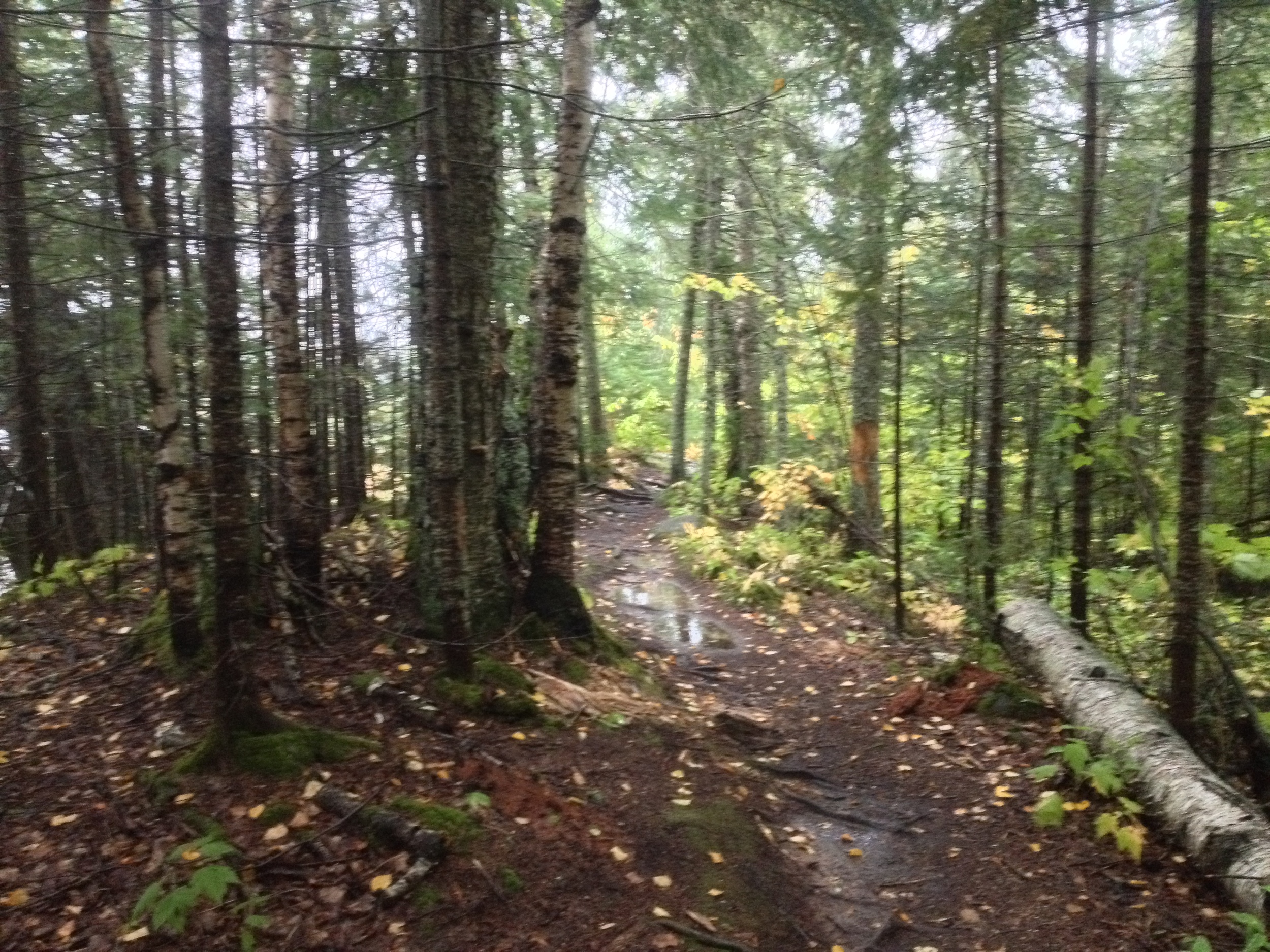
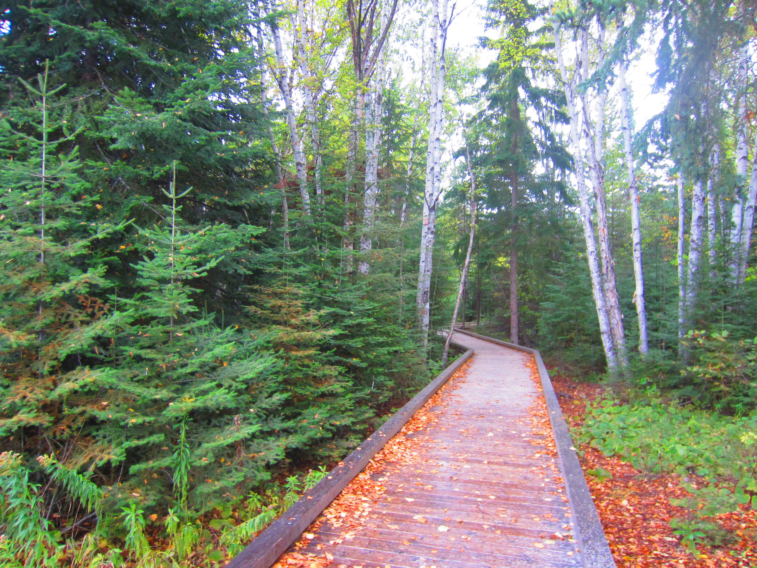
The Grand Portage State Park Hiking Club Trail is the only handicapped accessible club trail in the system. Worth making the trip even in the rain. 

The Hike: At just one mile, the Grand Portage hike is the shortest of all the Minnesota Hiking Club trails. It is also the only entirely handicapped accessible trail, so if you find yourself in the park, there is absolutely no excuse for you not to take the 1/2 mile trek from the parking lot to watch the Pigeon River cascading over the 120 foot High Falls. Even taking your time, you probably won't spend more than an hour in this park, which is good because there is no camping and unless you want to stay at the casino, you still have to drive a couple hours back to your lodging further south (or bring a passport and stay in Ontario's Pigeon River Provincial Park across the border).

Cumulative Miles Hiked: 48

Cumulative Miles Driven: 1918

Arbitrary Rating: 4/5

Biome: Laurentian Mixed Forest