Jay Cooke State Park

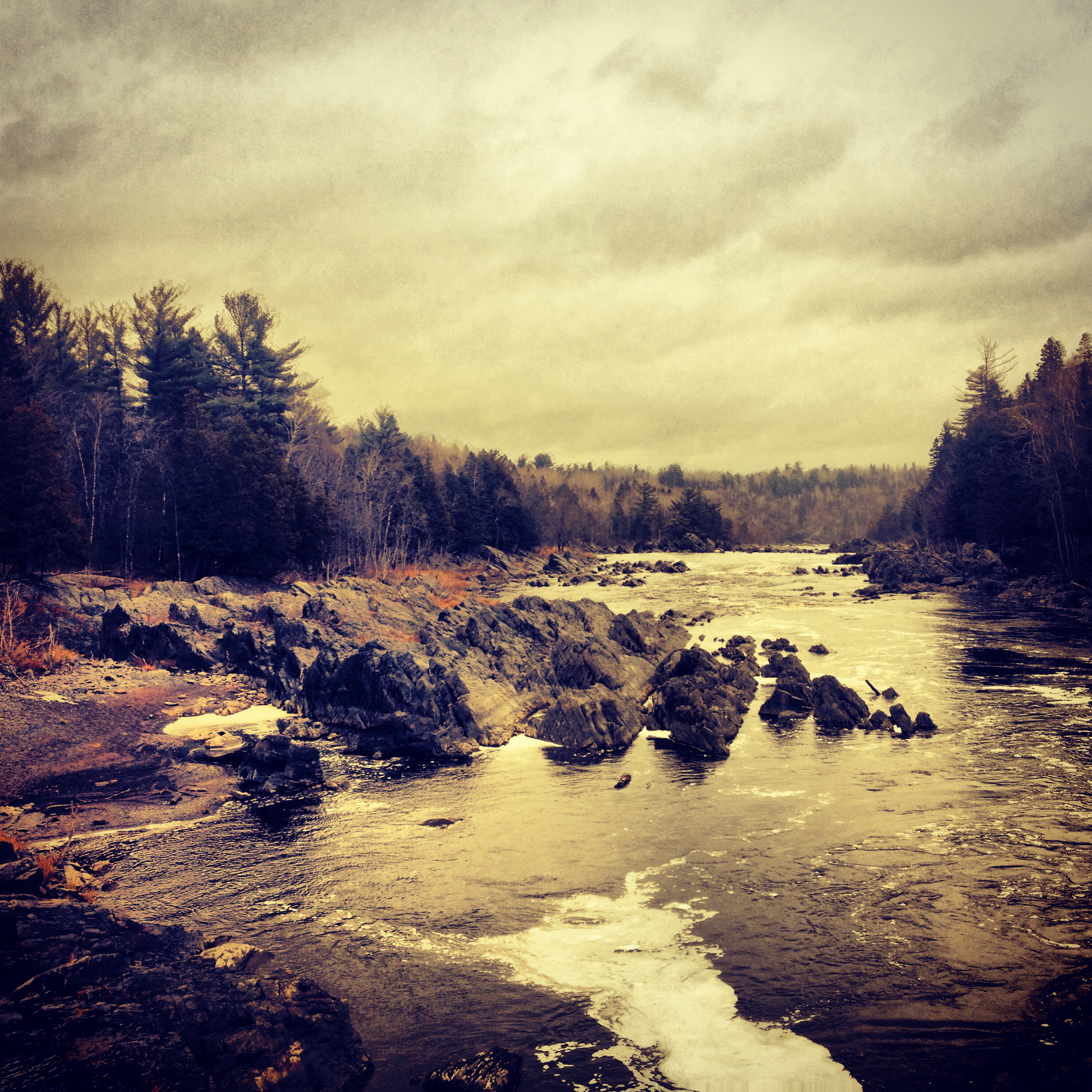
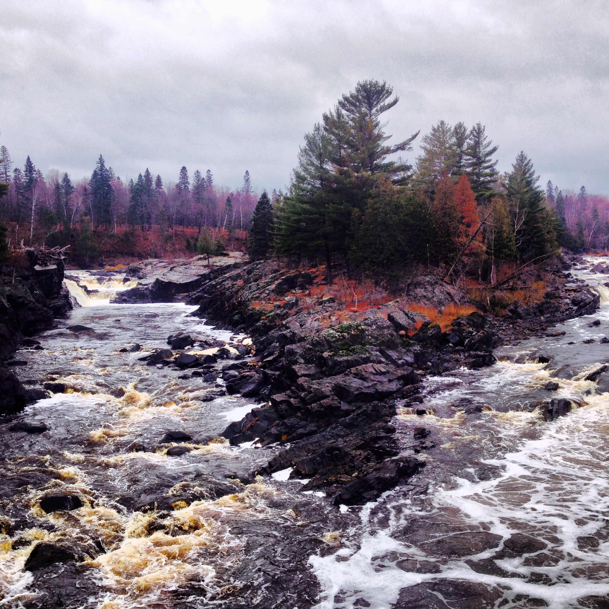
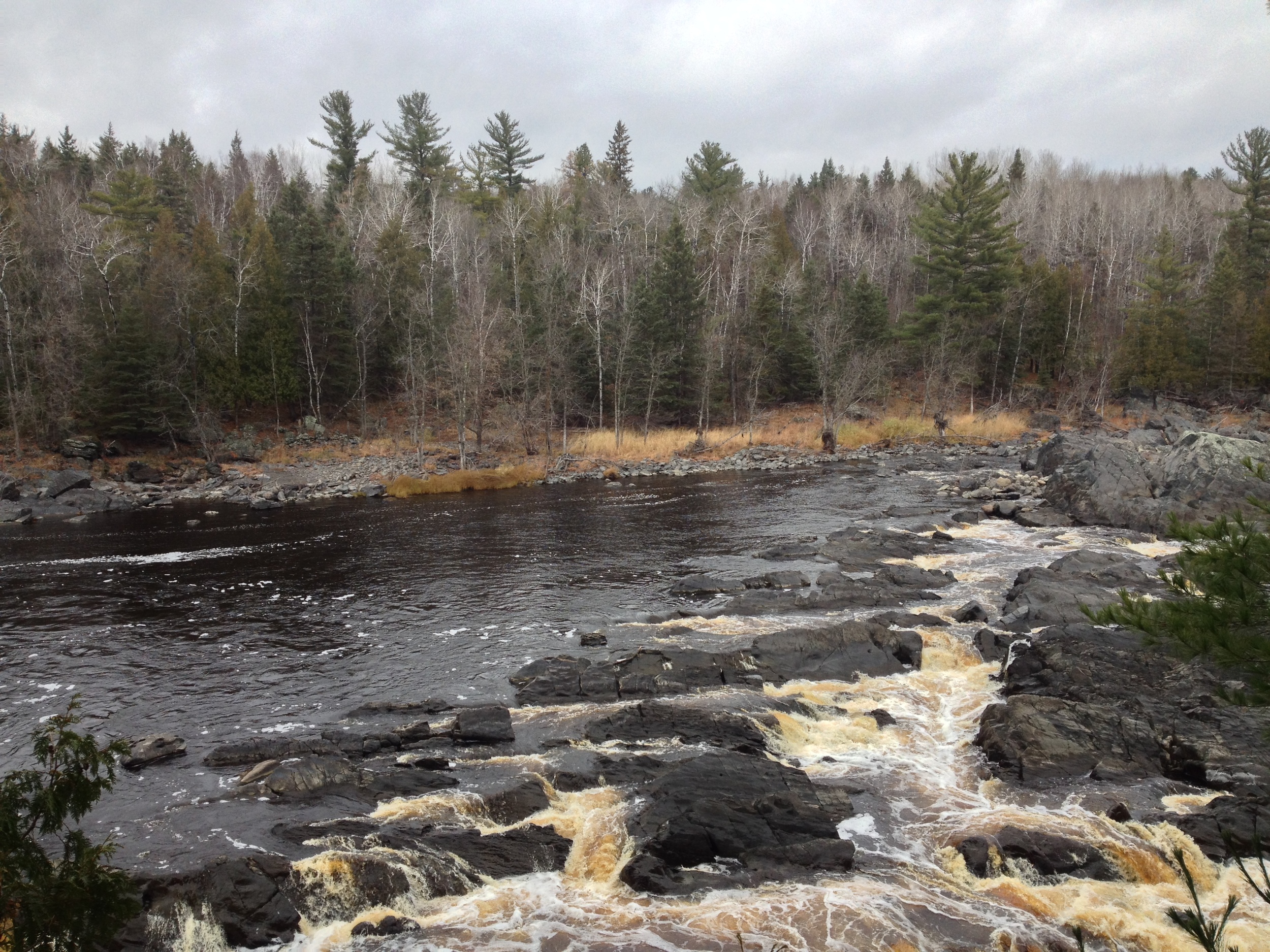
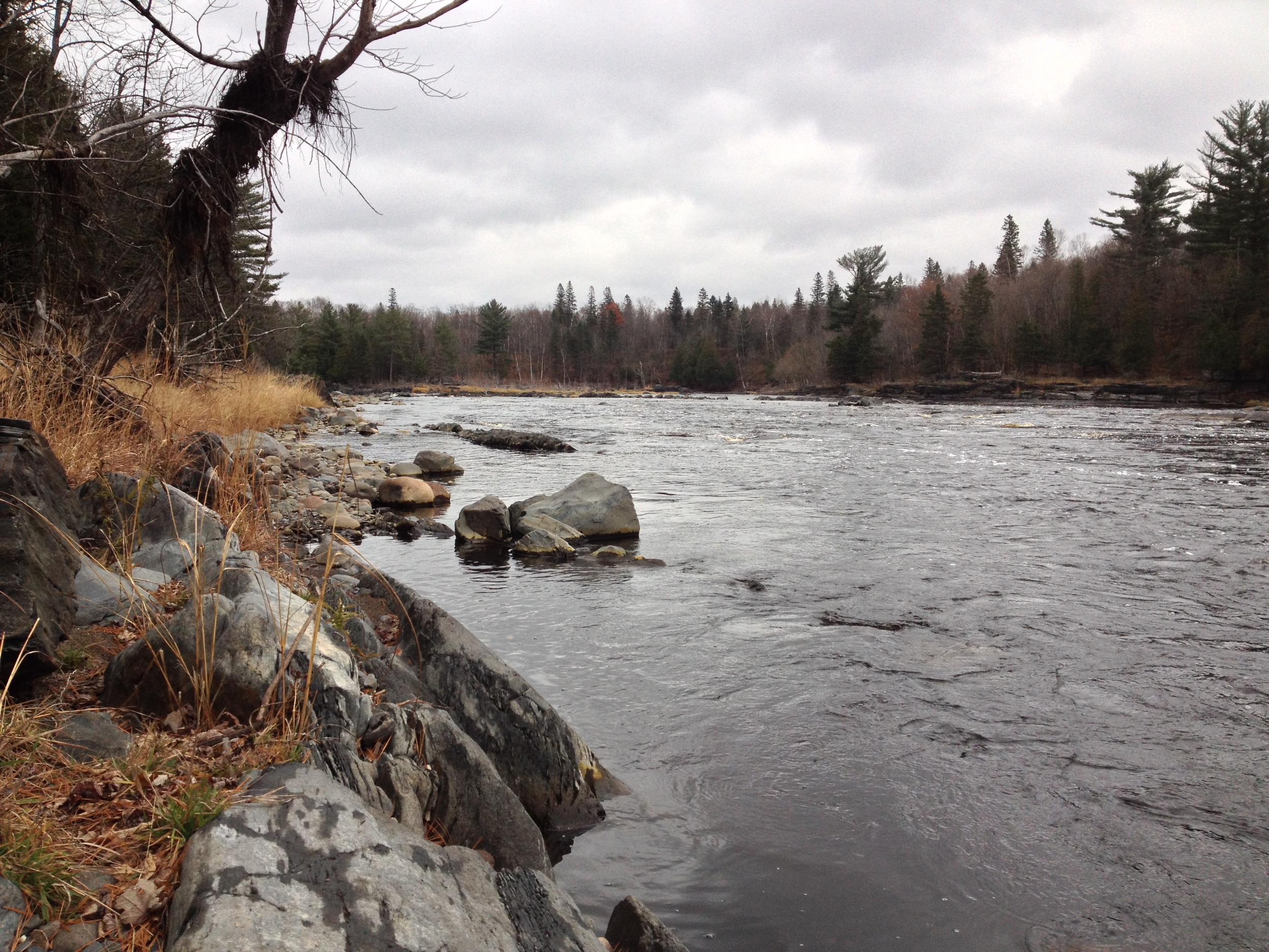
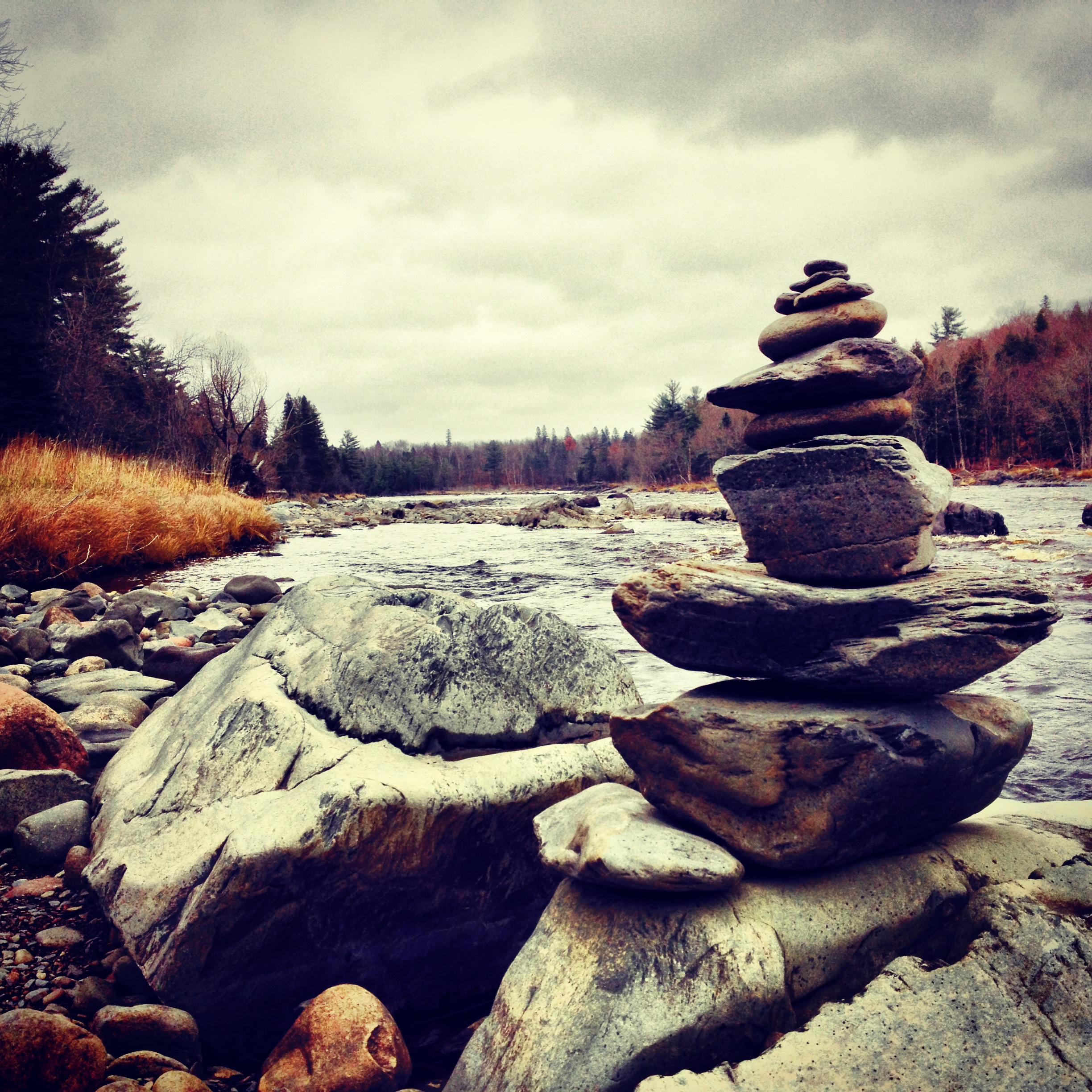
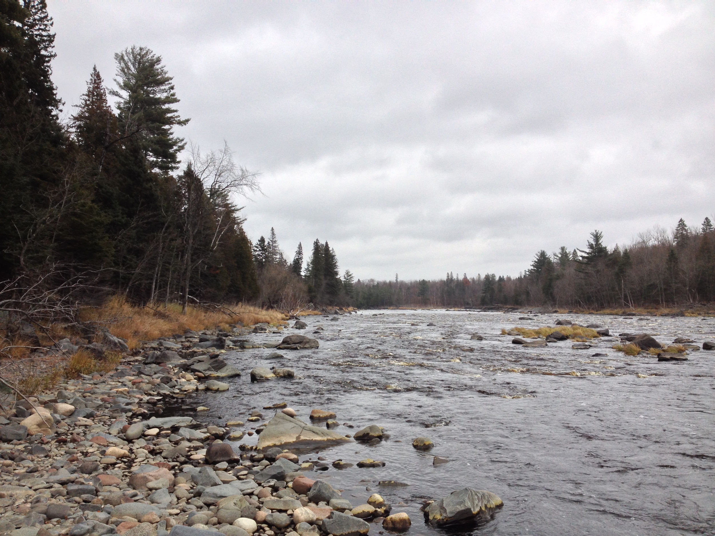
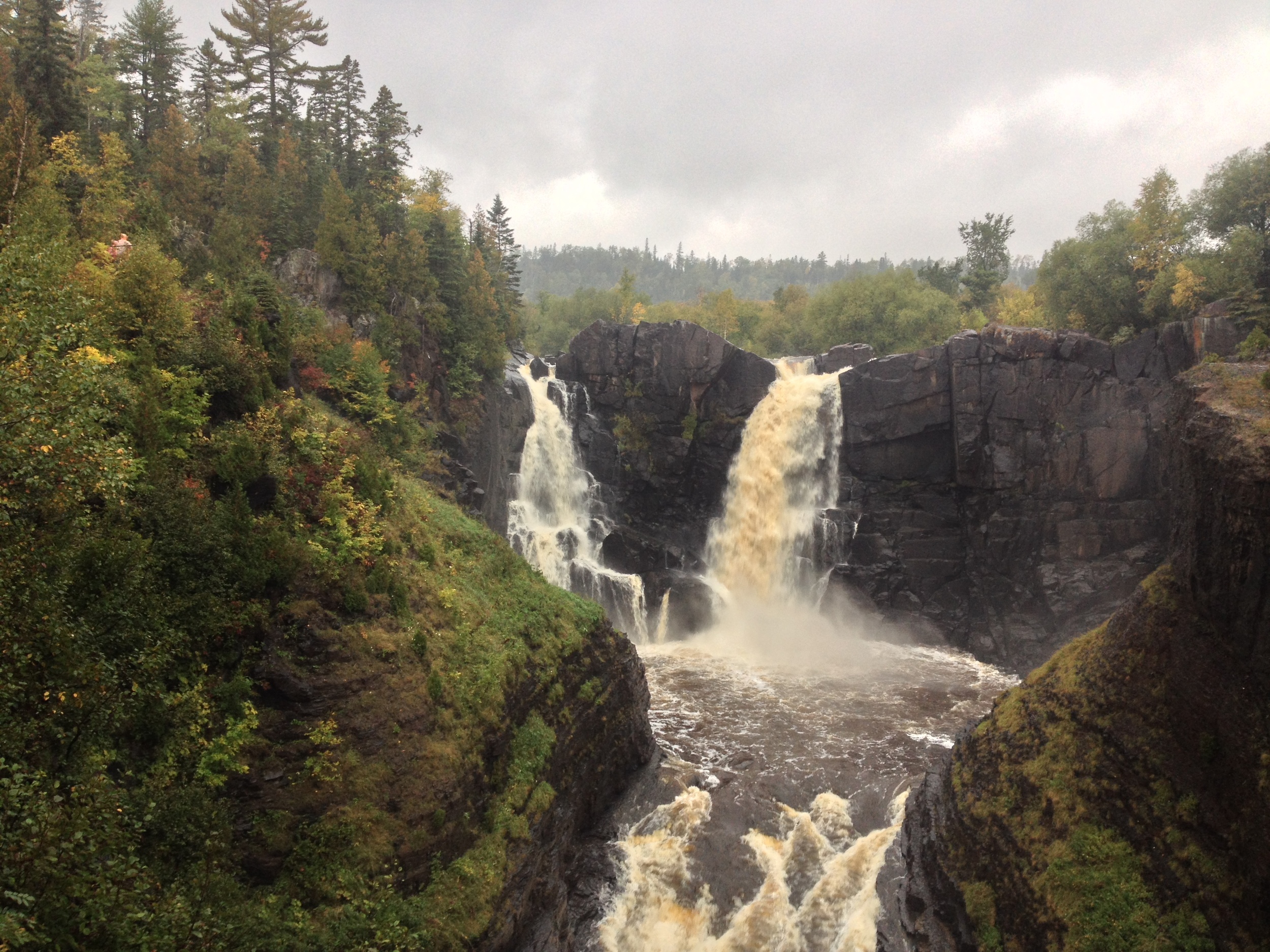
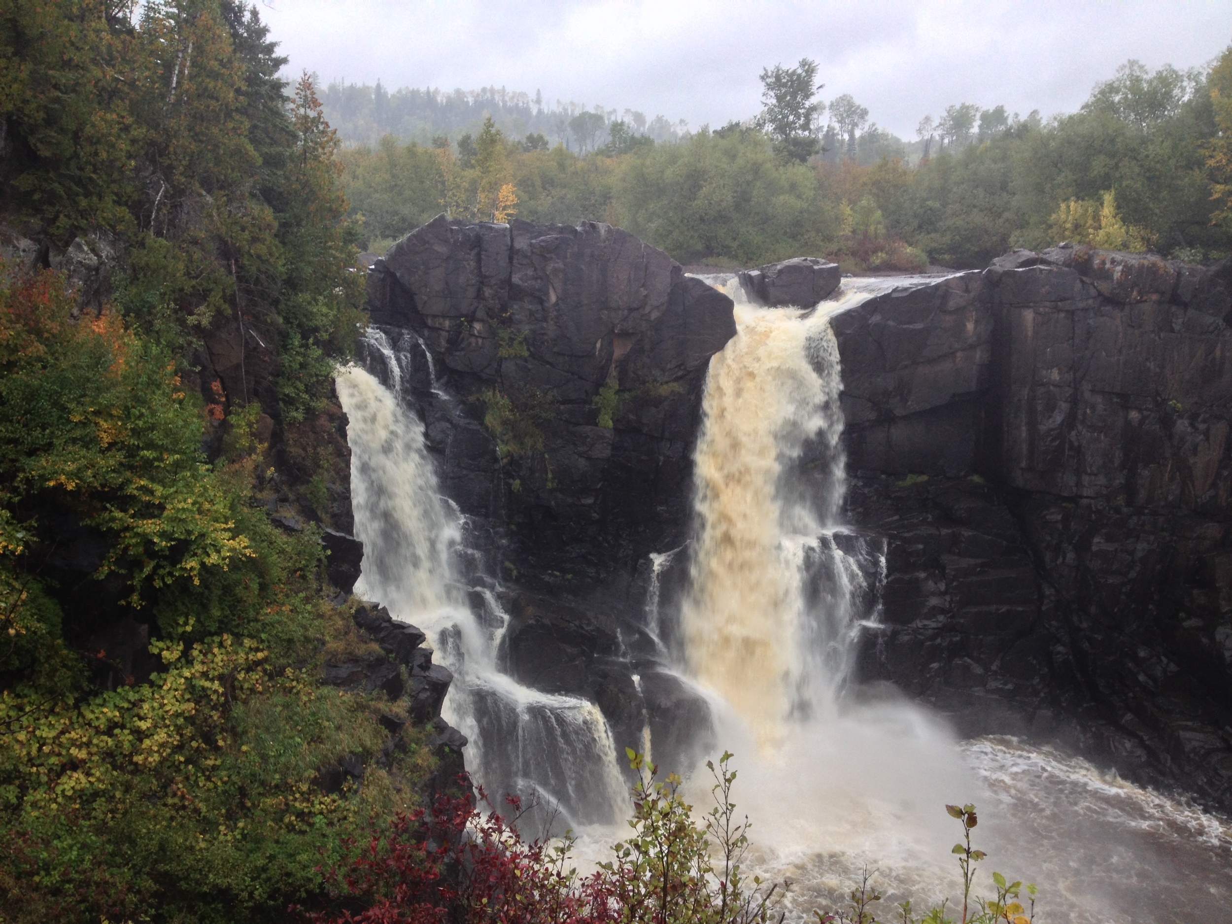
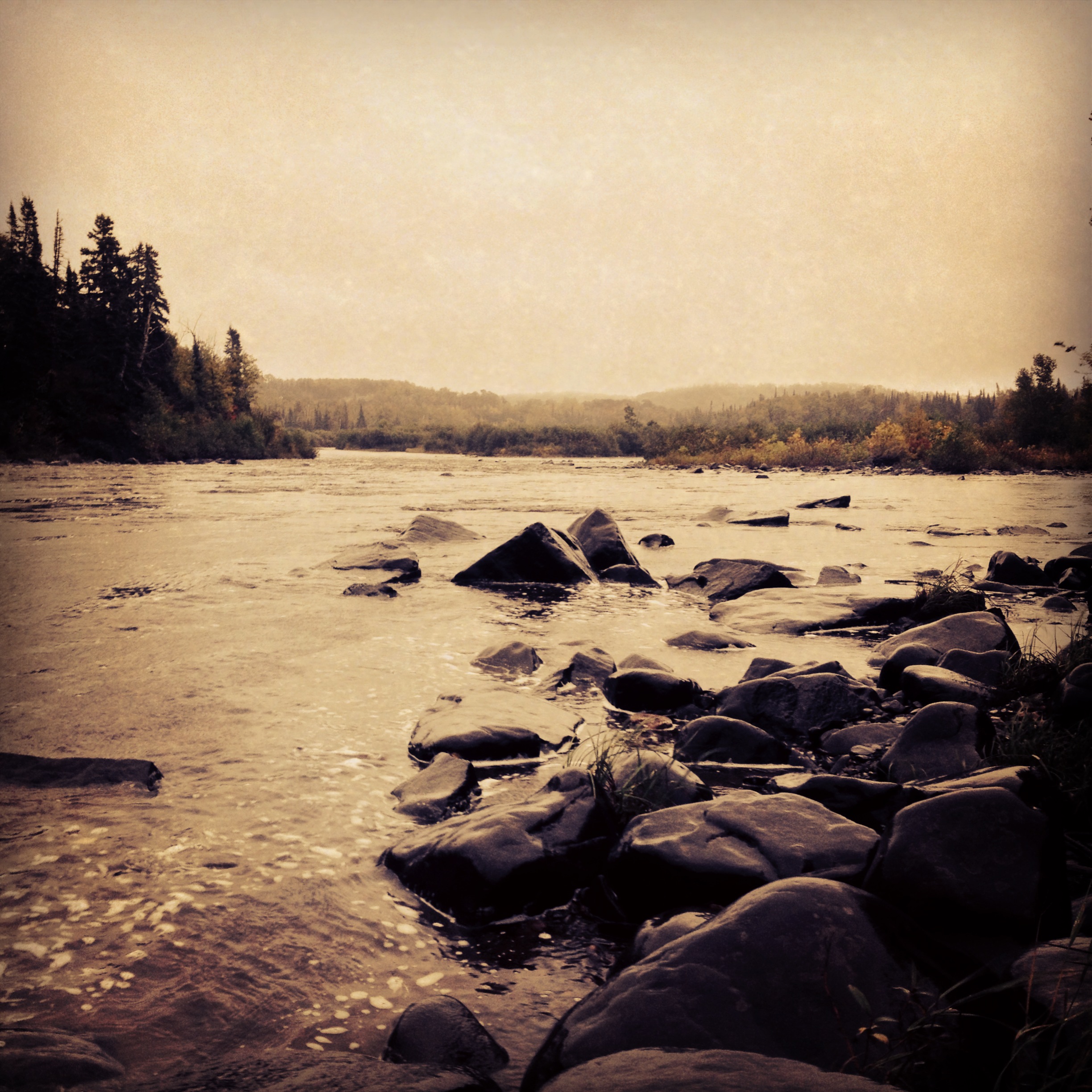
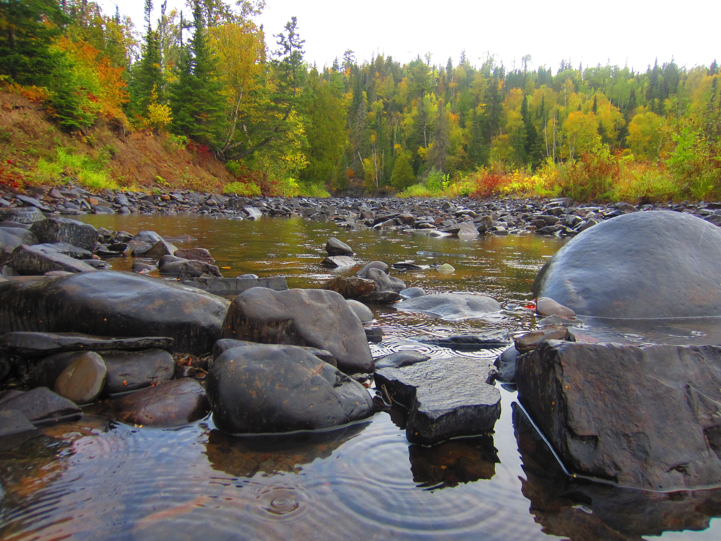
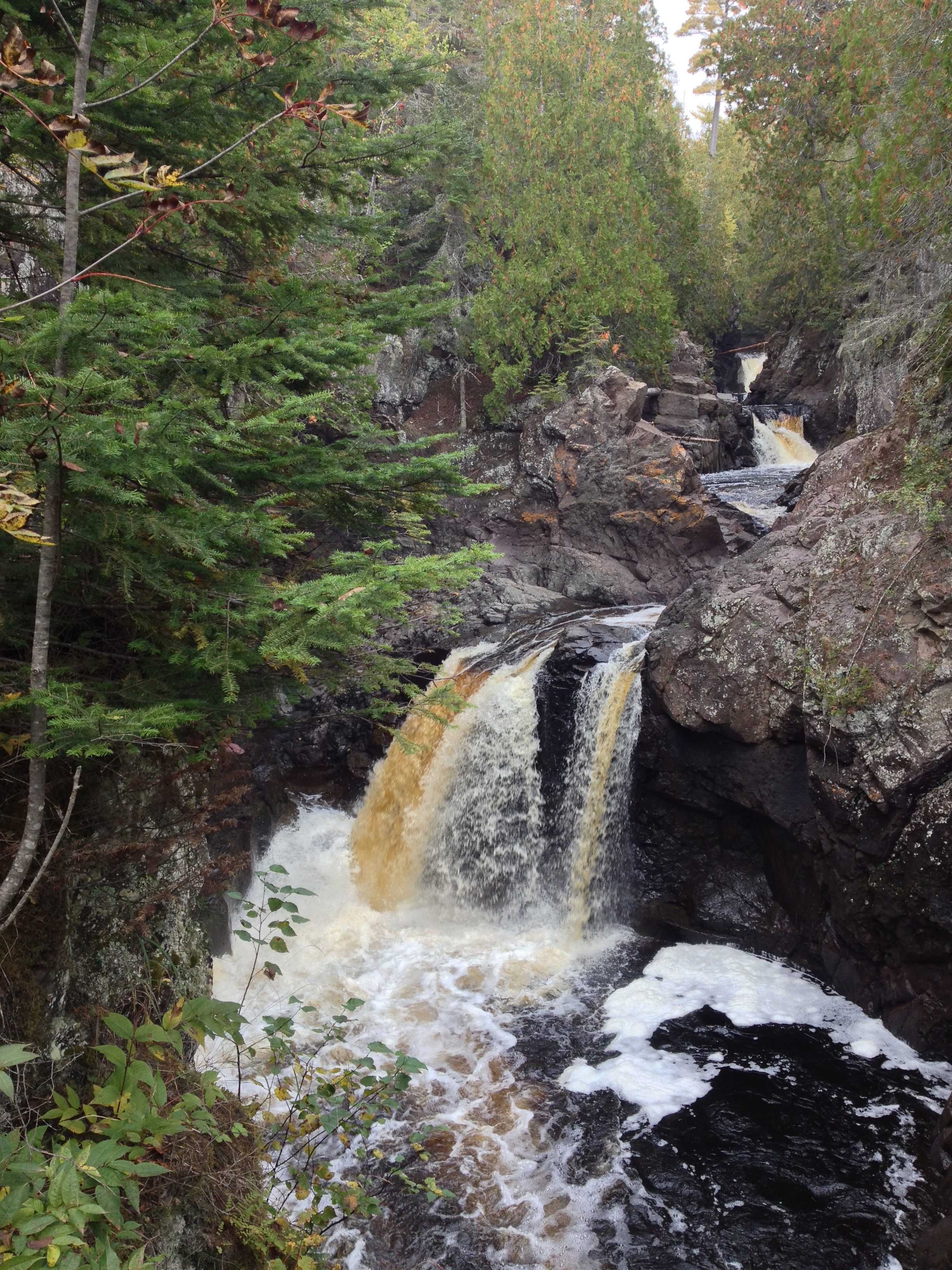
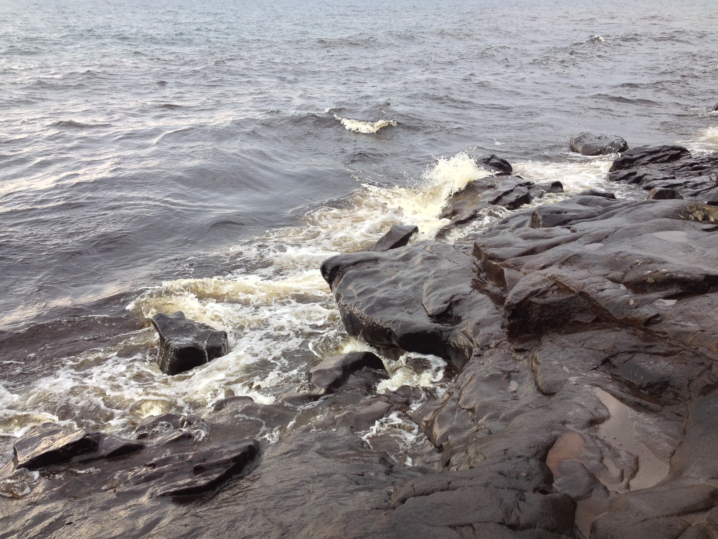
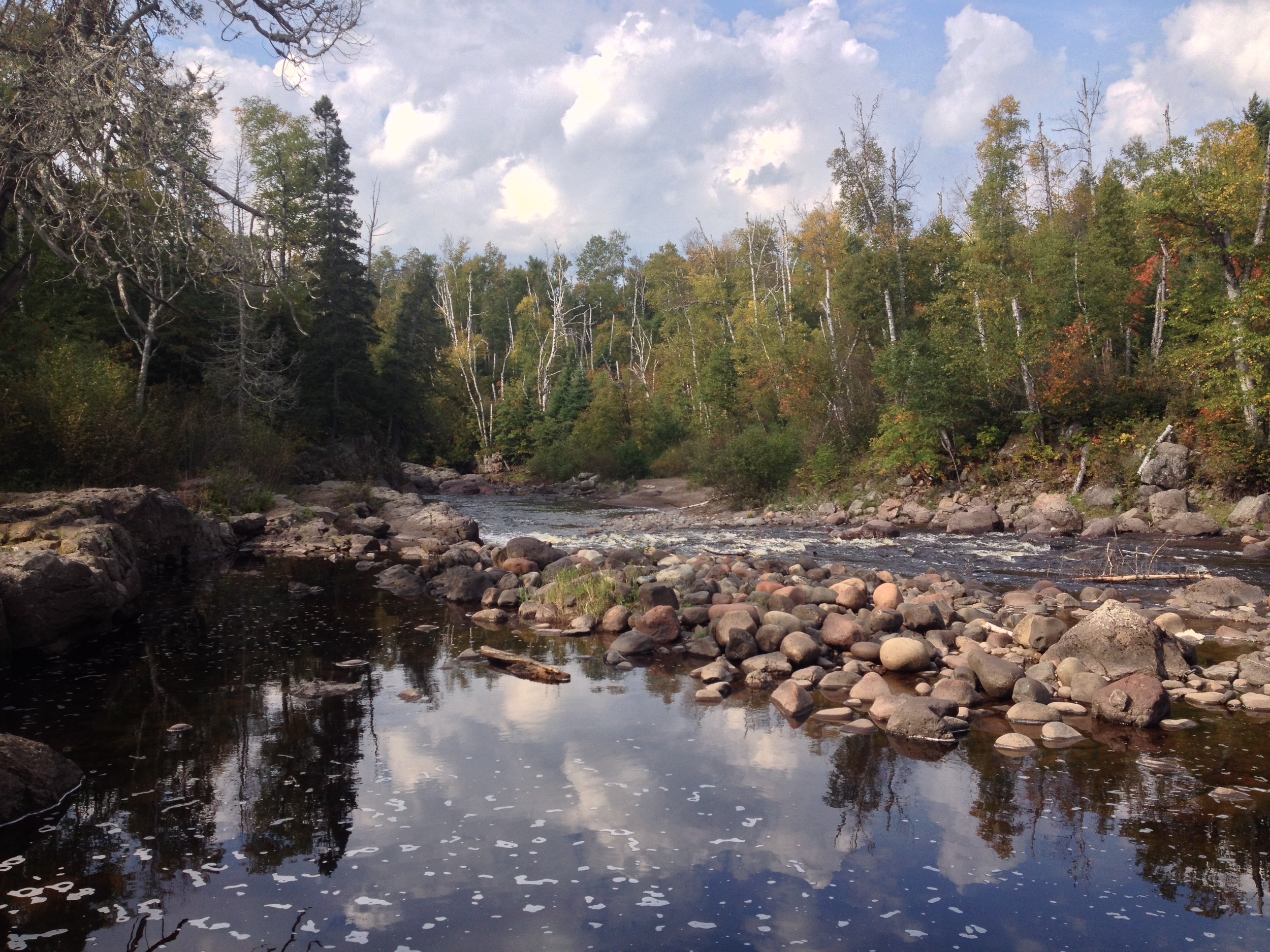
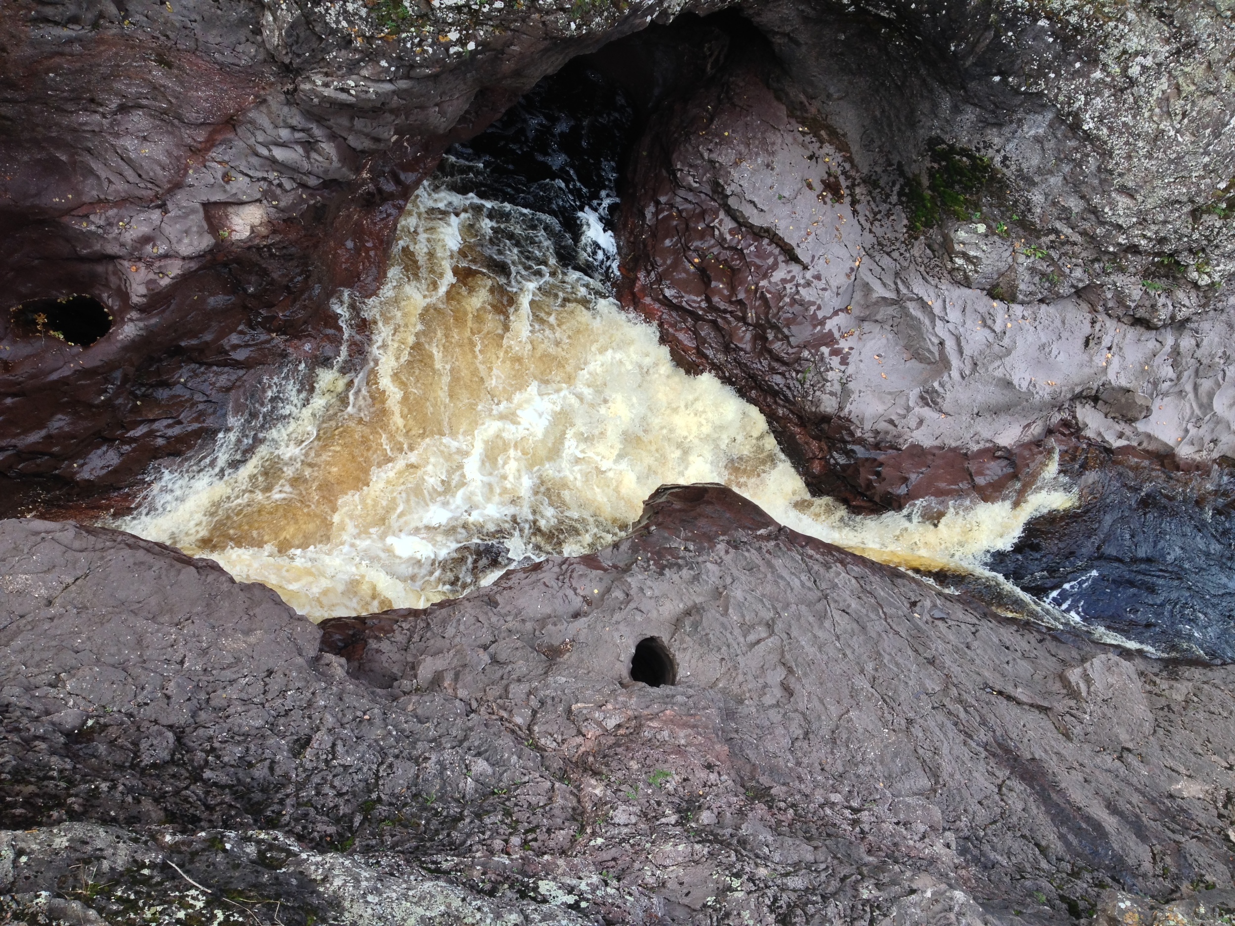
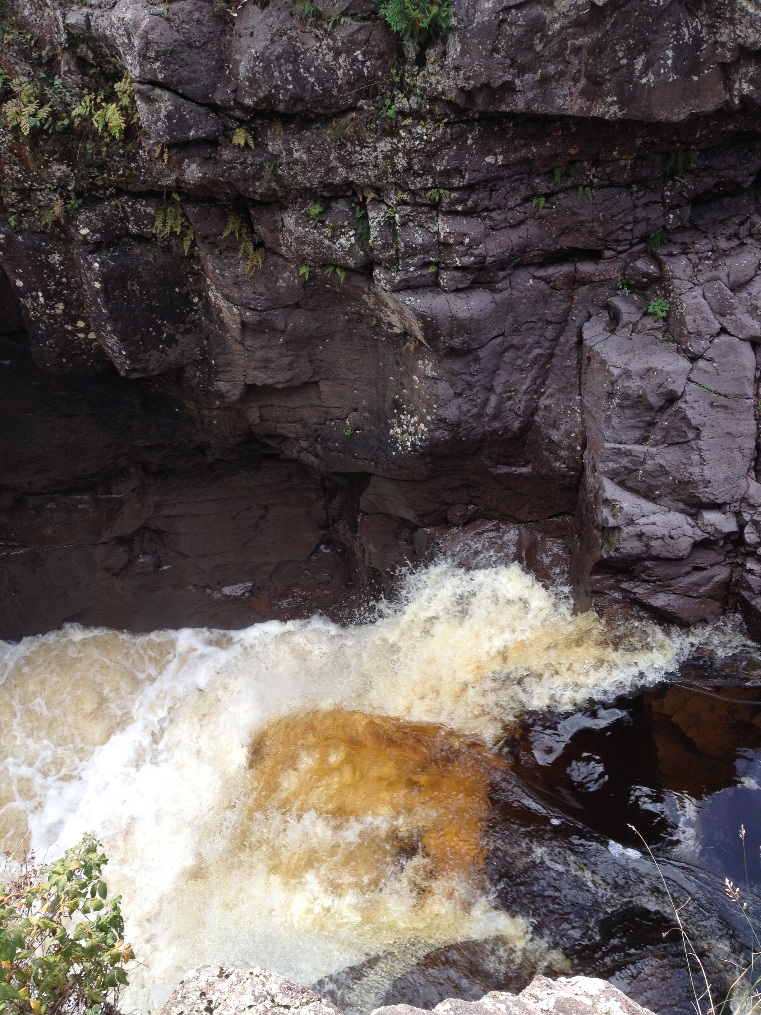
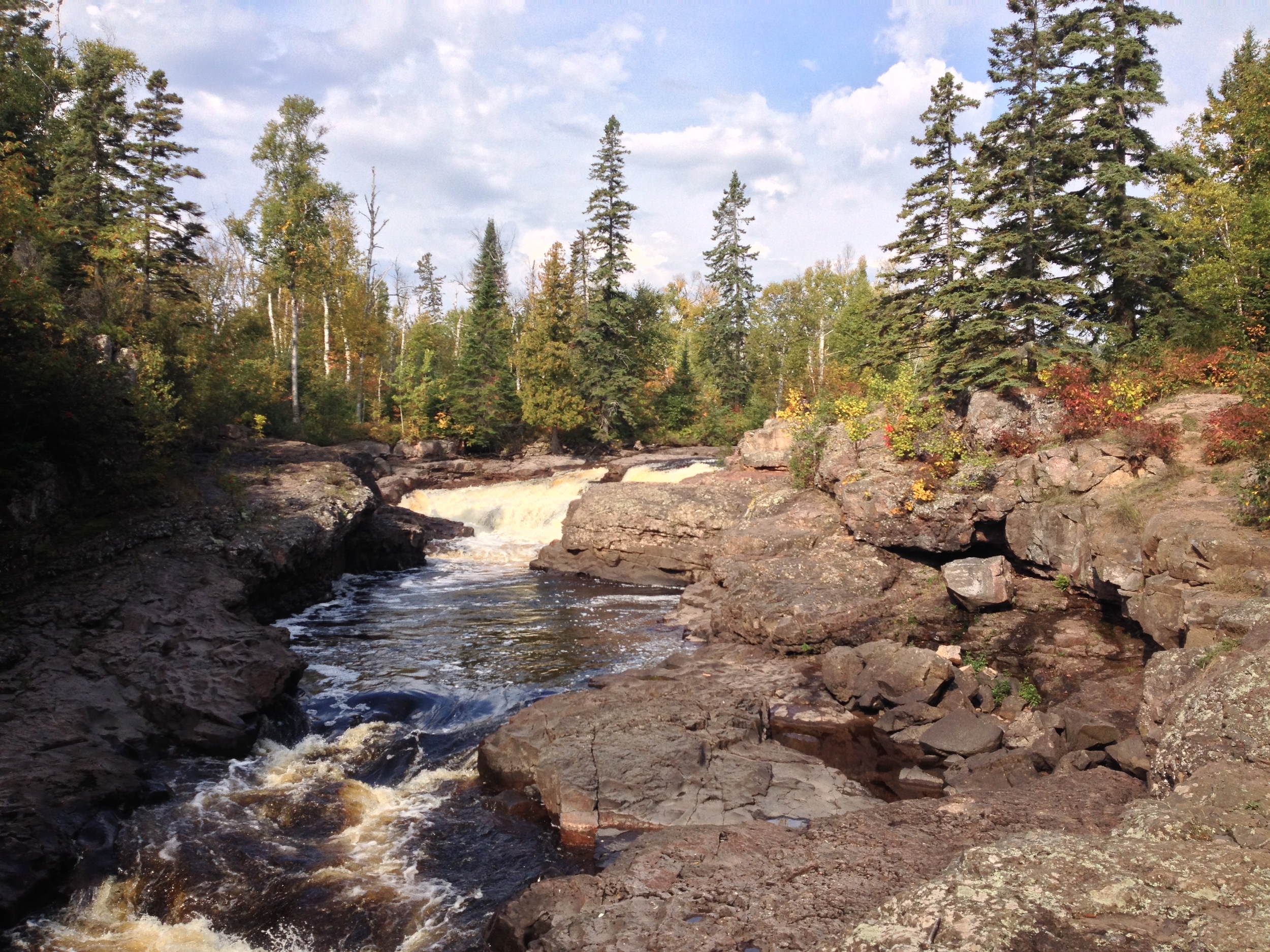
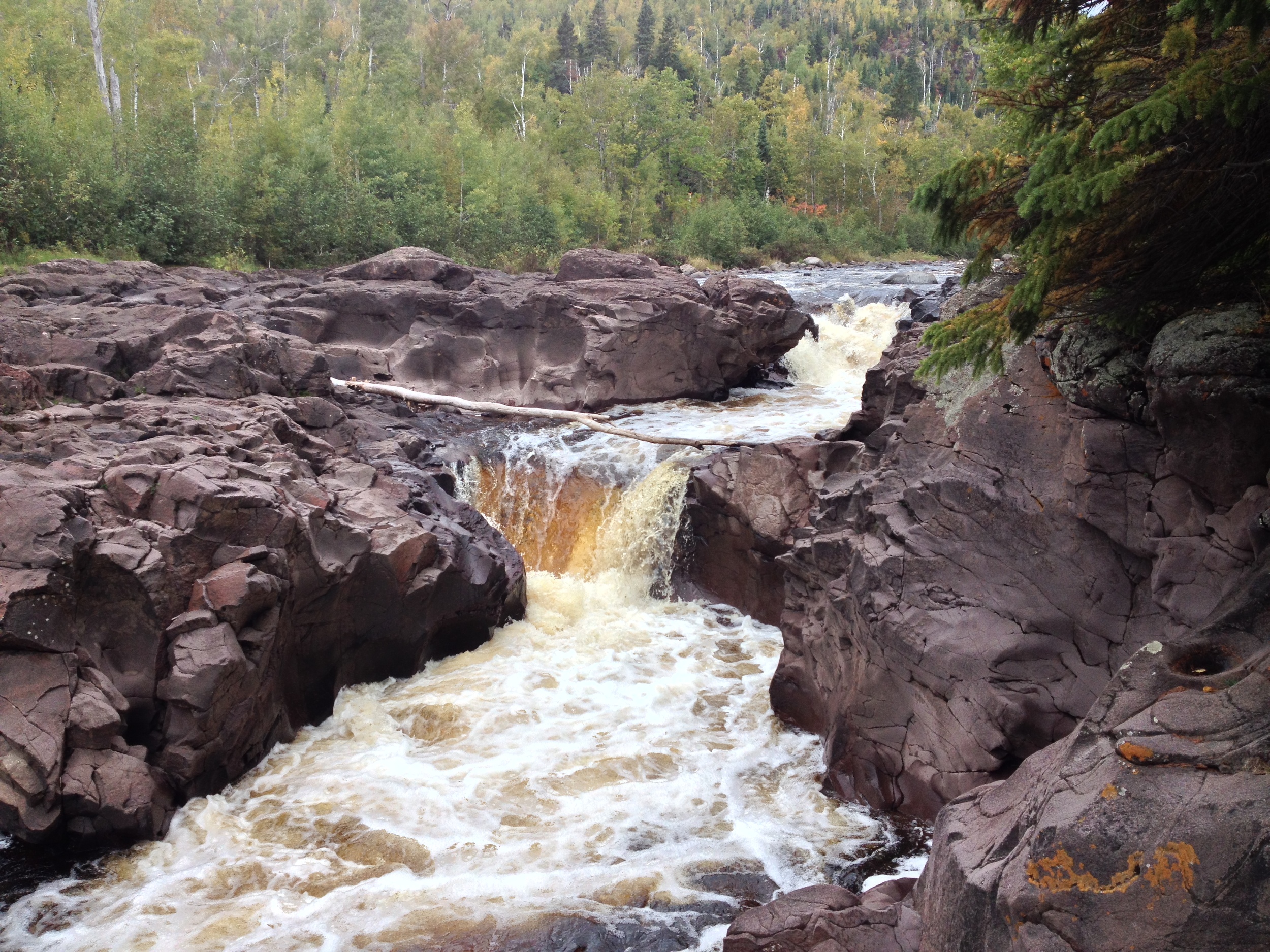
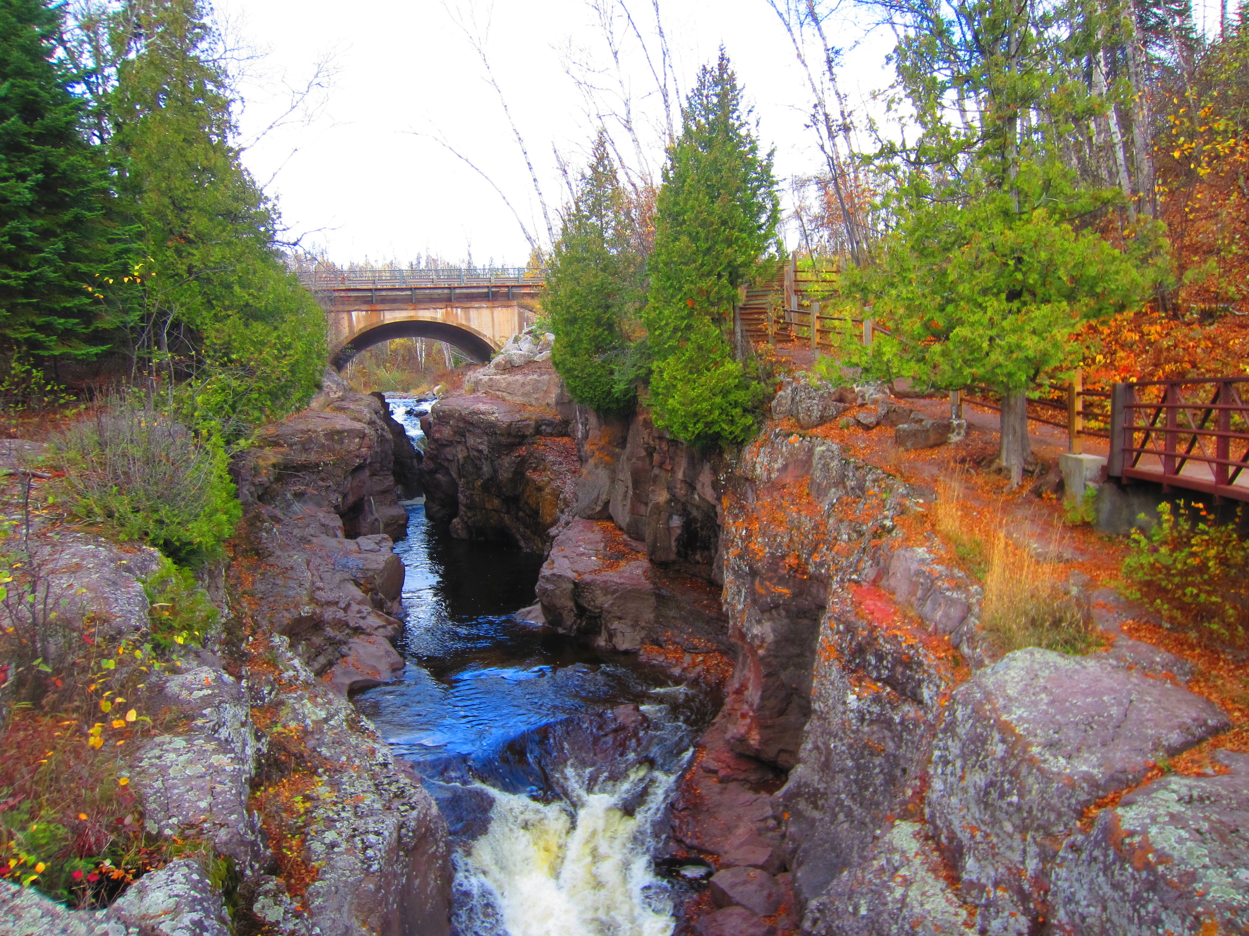
The rapids on the St. Louis River at Jay Cooke State Park. Believe it or not, we saw people kayaking over these and even larger cascades. 

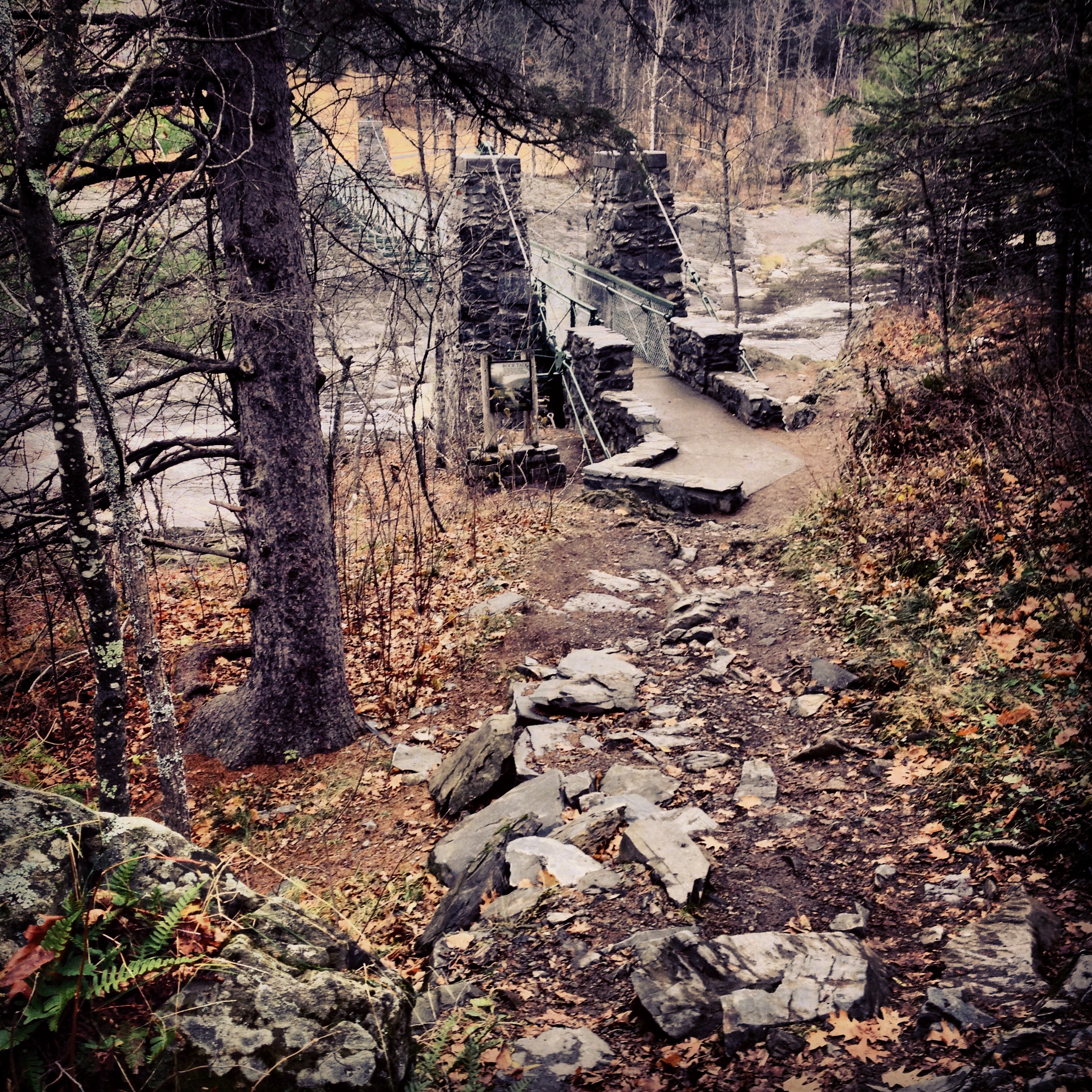
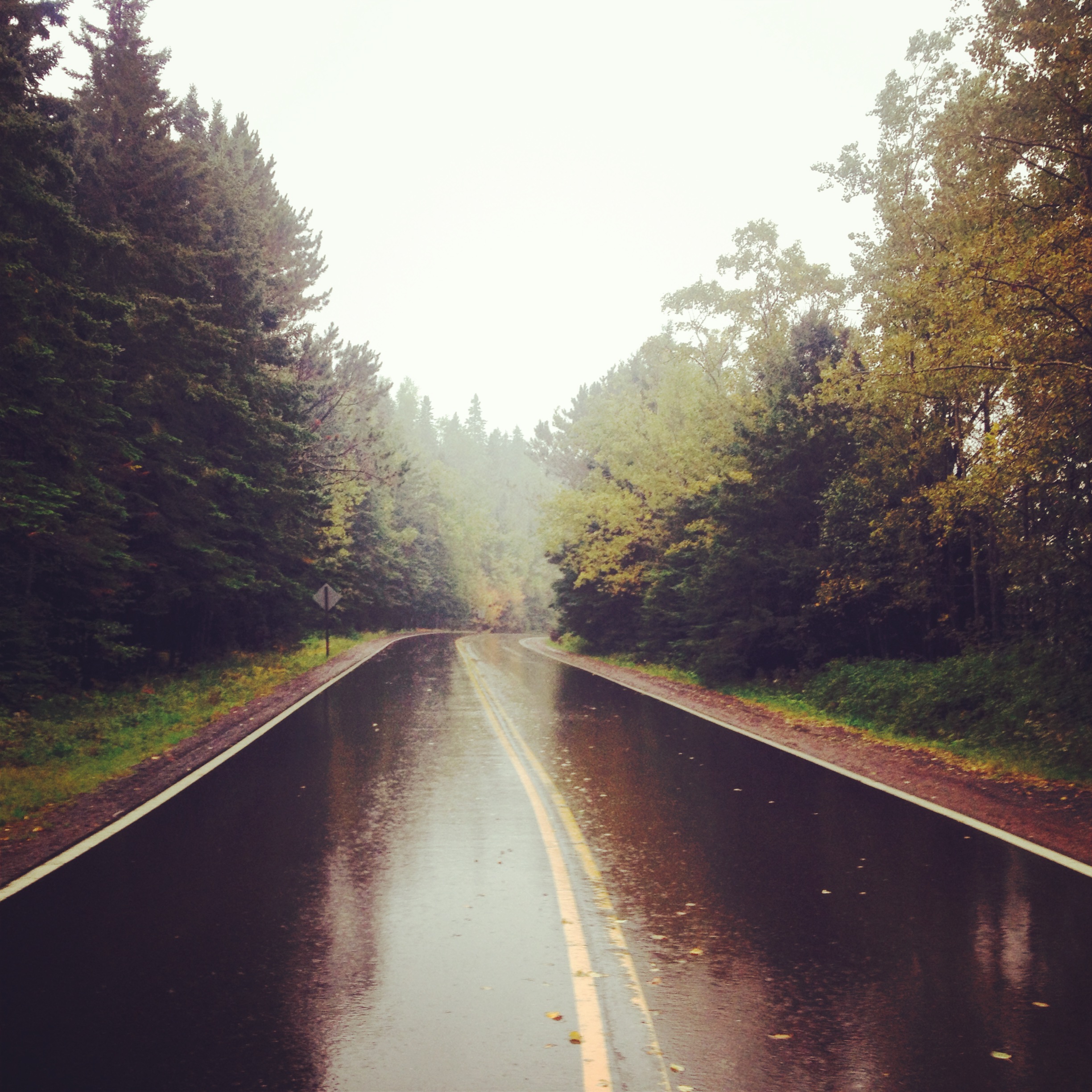
The Drive: There have historically been two routes to Jay Cooke State Park (and Duluth) from Minneapolis. The first, fastest, and most traveled is I-35. And while this stretch of 35 is one of the most beautiful sections of interstate highway in the country, it's still a giant interstate highway lined with billboards and gas stations. The second route is a section of MN Hwy 23 known as Veterans Evergreen Memorial Scenic Drive. Splitting off from 35 in Sandstone, 23 passes through idyllic Northwoods towns like Askov and Finlayson before passing into the wilderness between the Twin Cities and Duluth. It offers amazing views of the St. Louis River Valley as well as a number of smaller rivers. However, if you want to reach Jay Cooke today, do not take the beautiful Scenic Driver. Because of the Great Duluth Flood (I invented that name) a few years ago that inundated the zoo, compromised roads, and washed away the iconic swinging bridge at Jay Cooke, the access road from Hwy 23 is closed indefinitely. My friend and I found this out to our dismay on our most recent trip up when we were forced to drive through Duluth and backtrack down 35 to reach the park, adding over a half an hour to our drive. Was it worth it to see Hwy 23? Maybe if I'd never have another chance, but if you are a regular North Shore visitor, take it on a day you plan to skip Jay Cooke and avoid repeating our mistake.

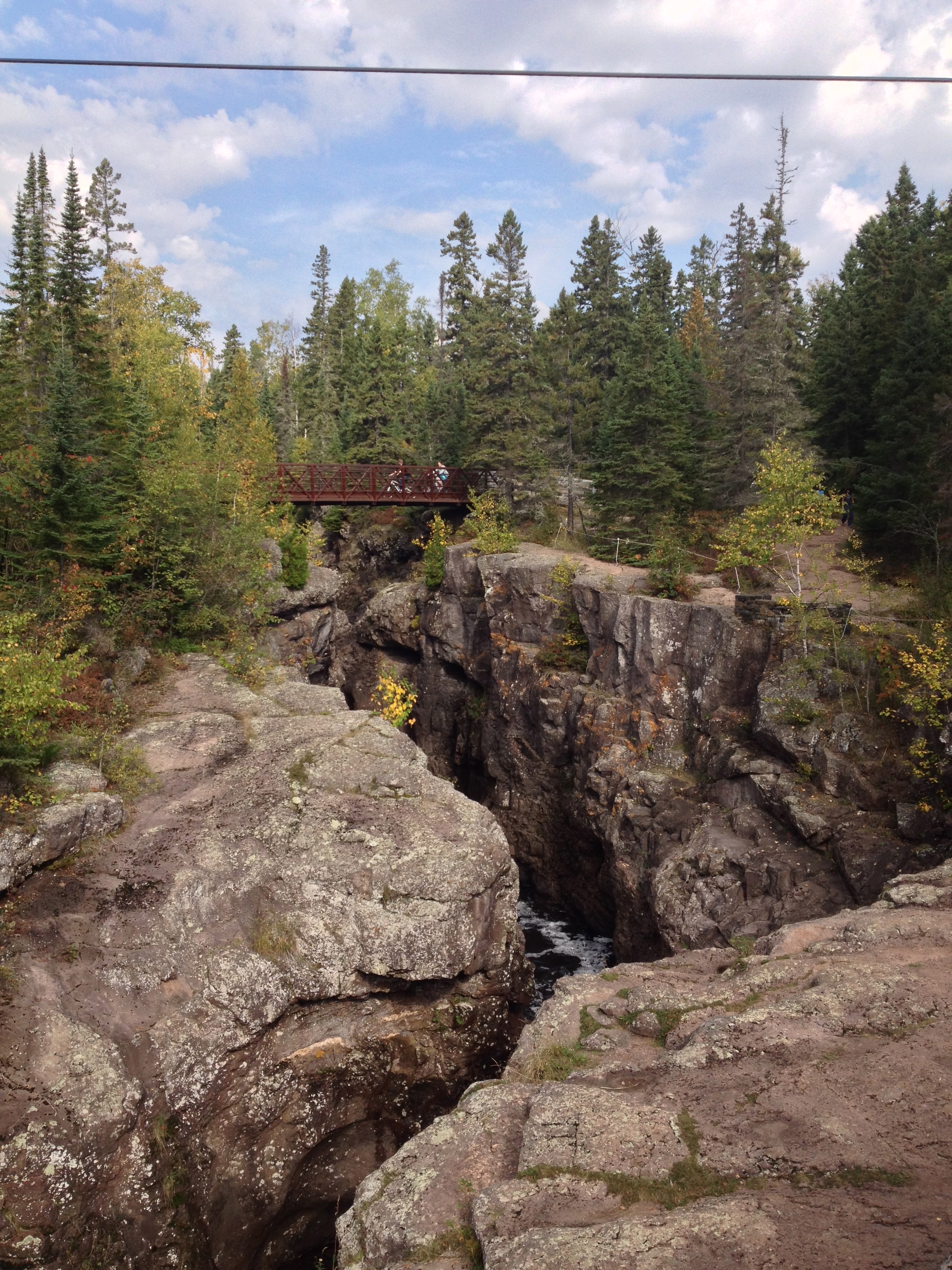
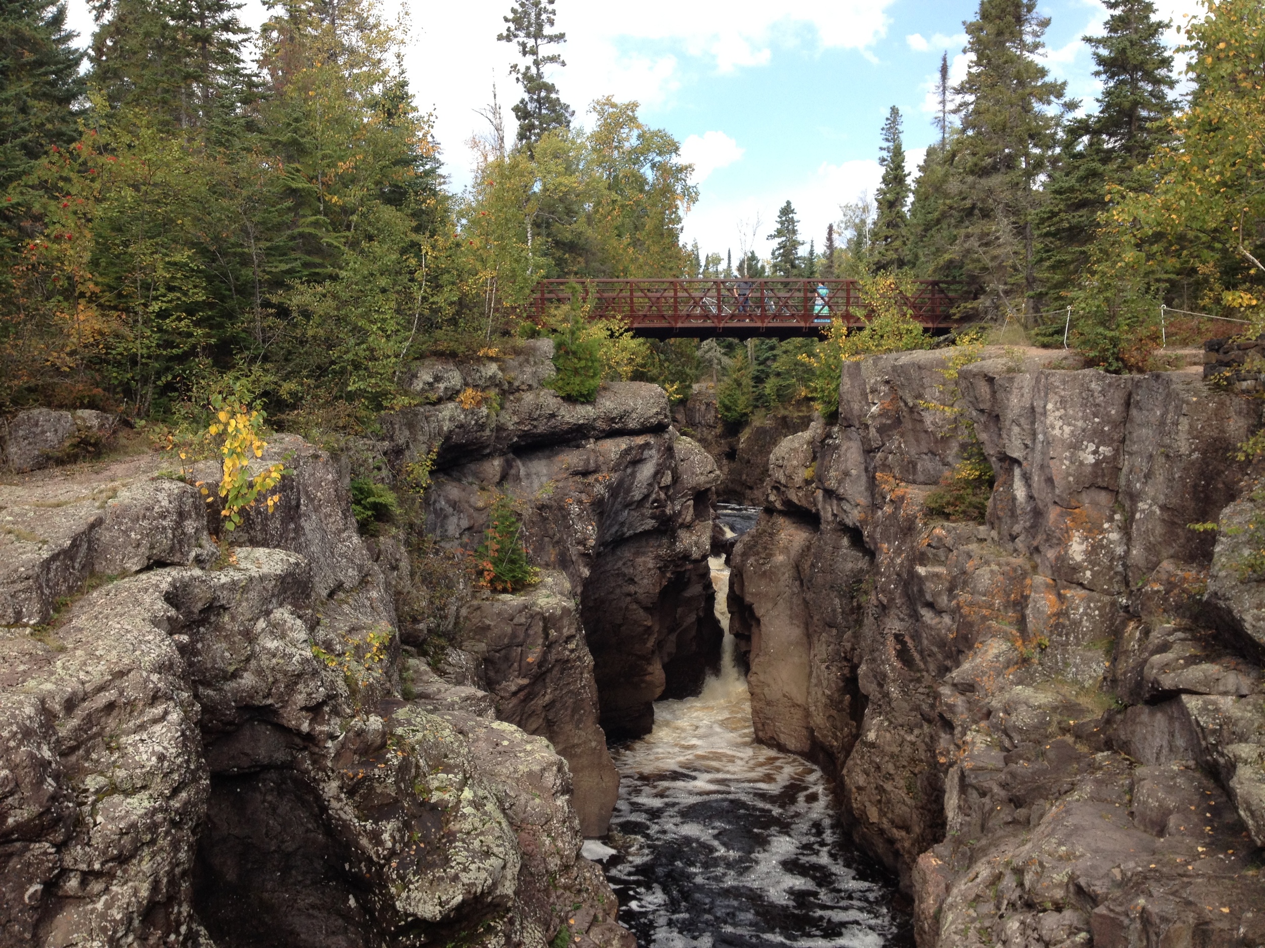
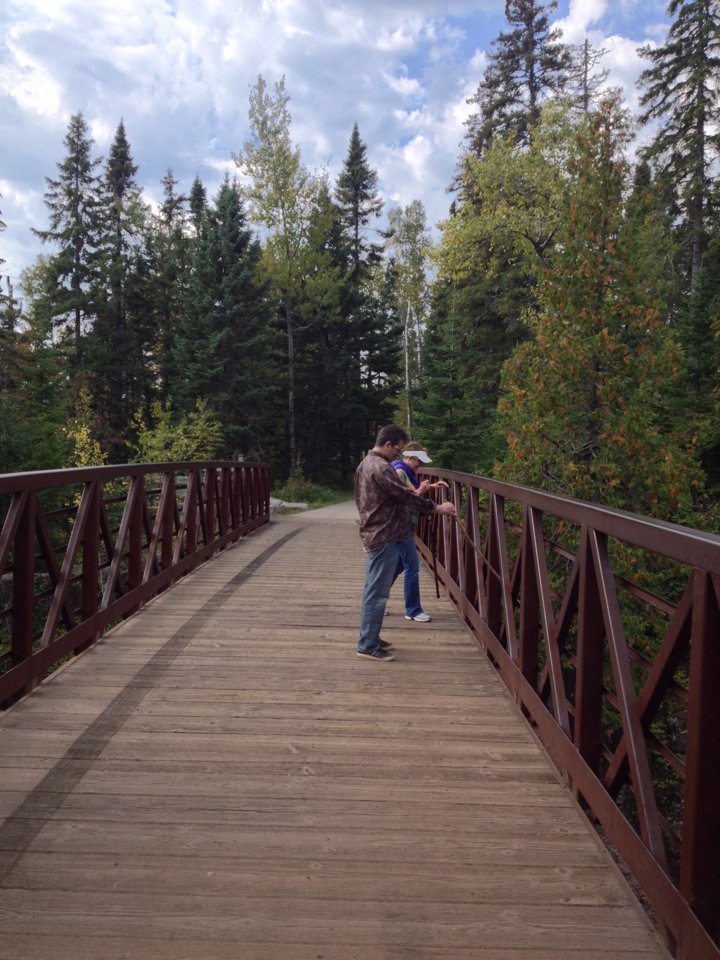
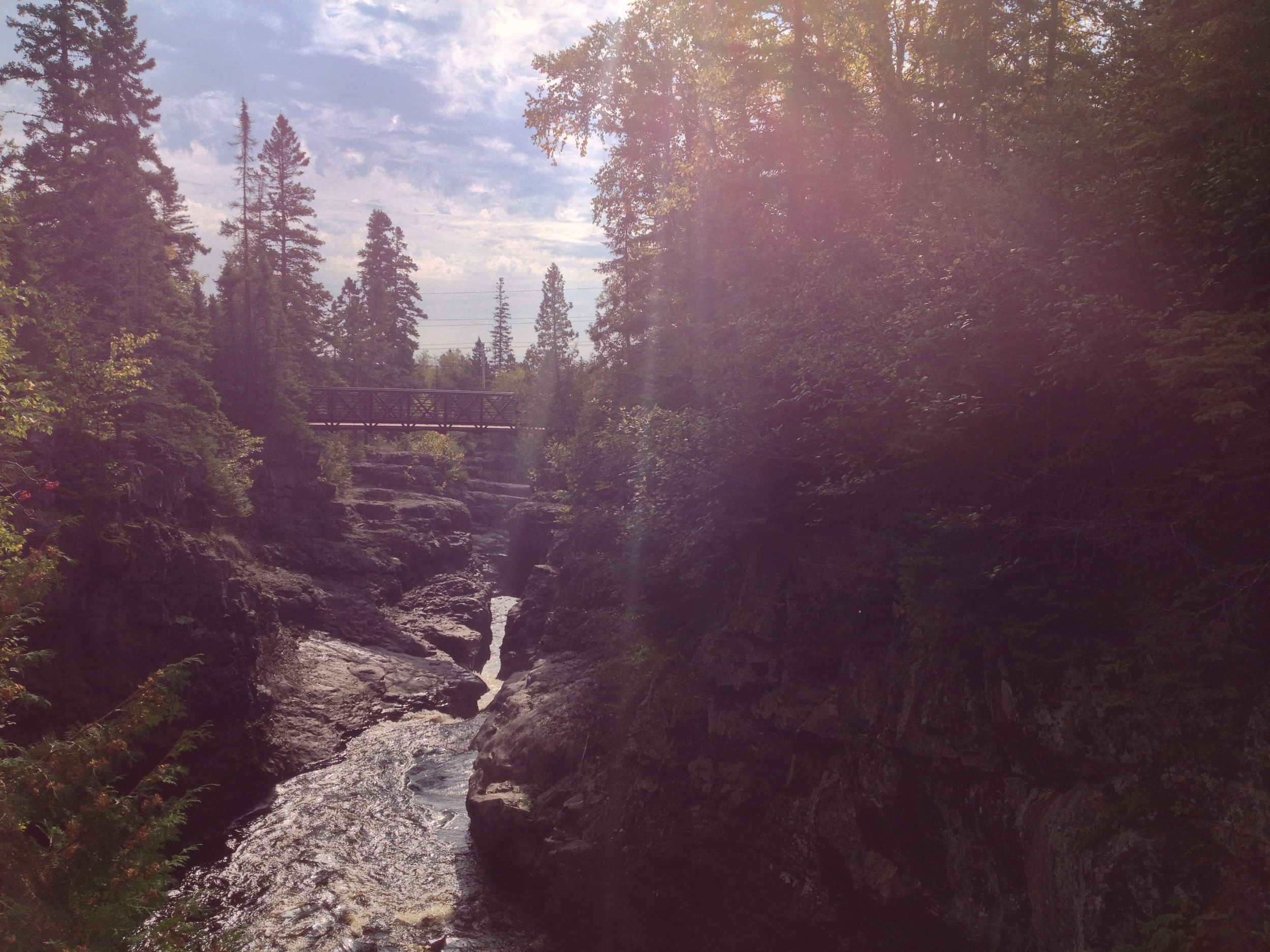
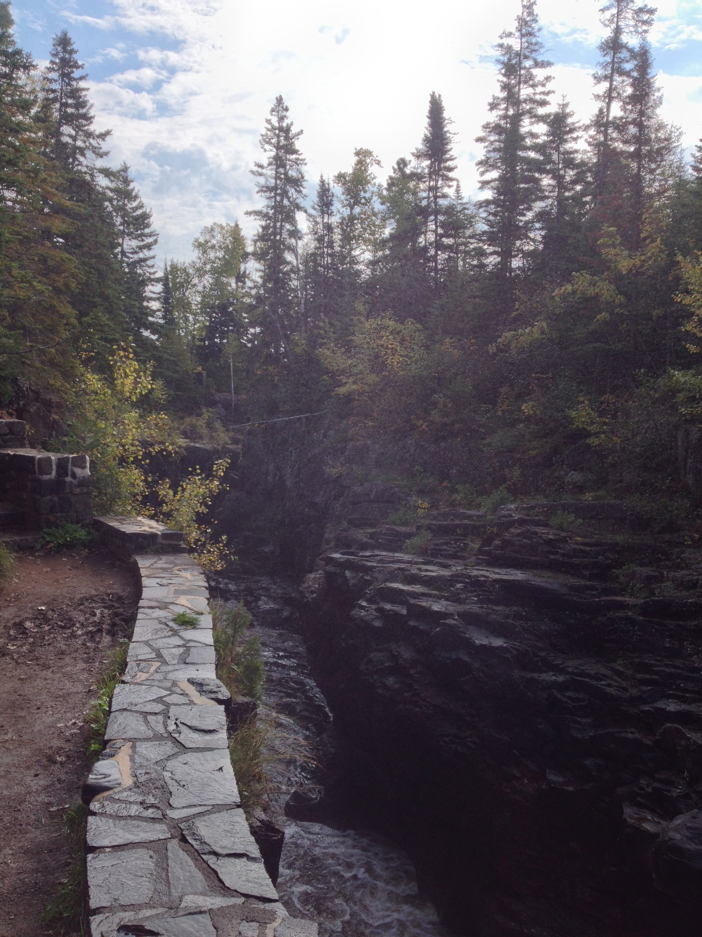
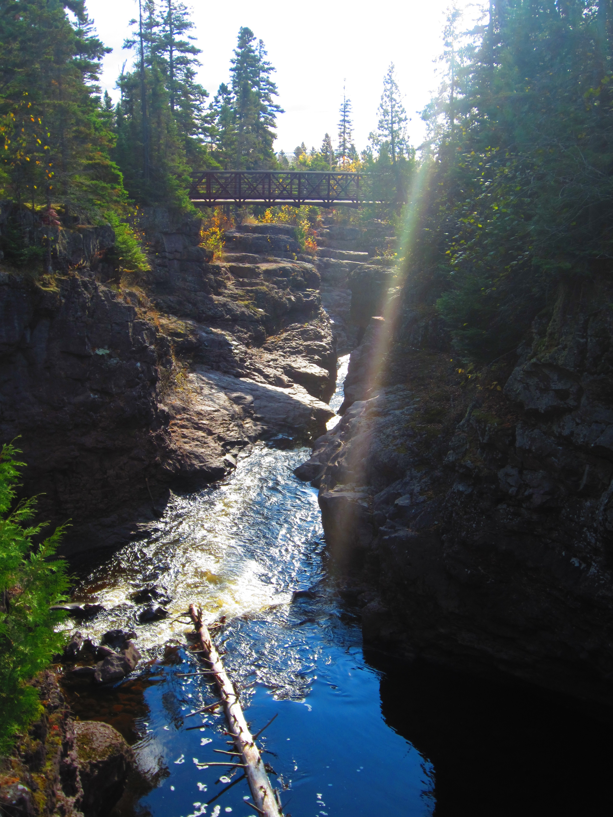
It's called a swinging bridge at Jay Cooke State Park and maybe it started out that way, but today it's mostly just a regular foot suspension bridge.

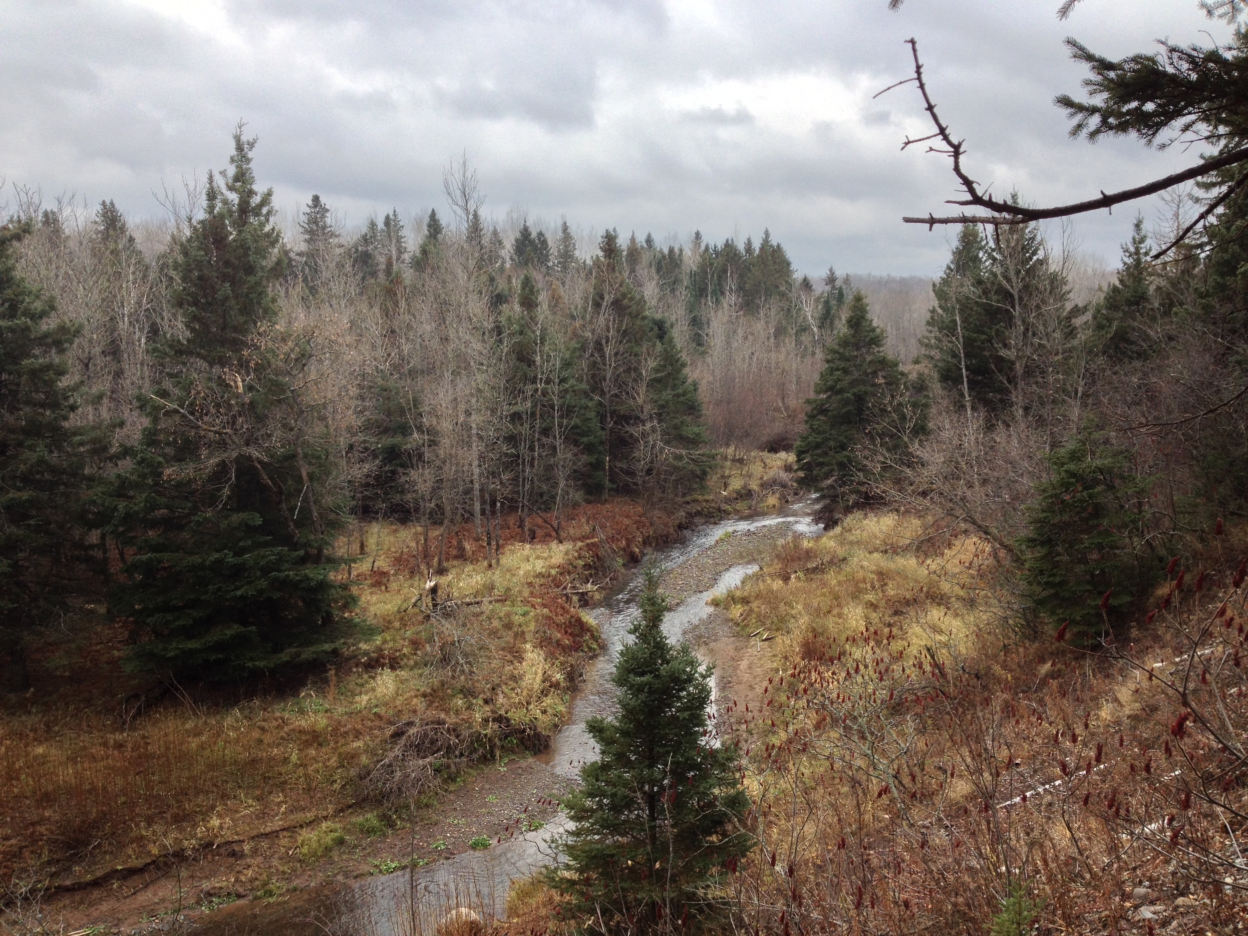
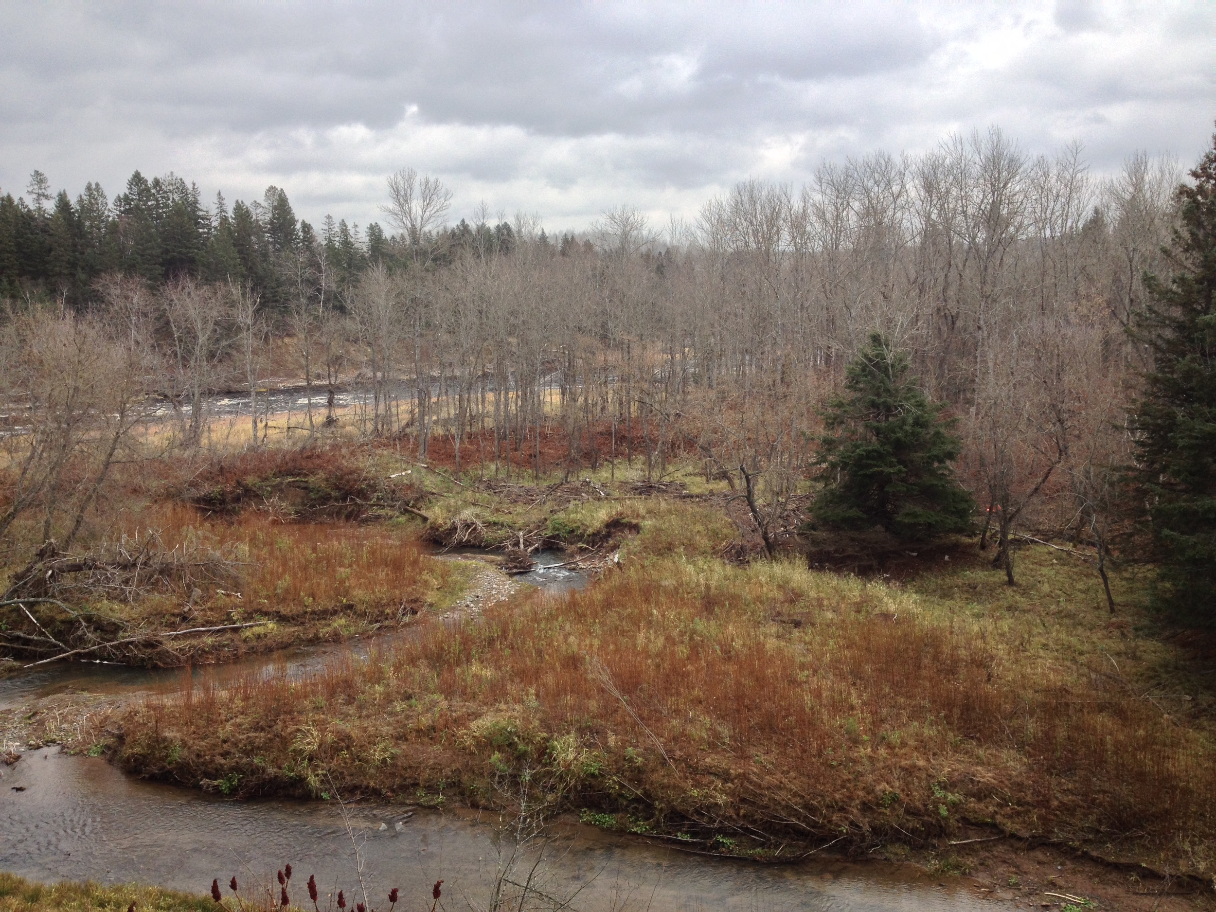
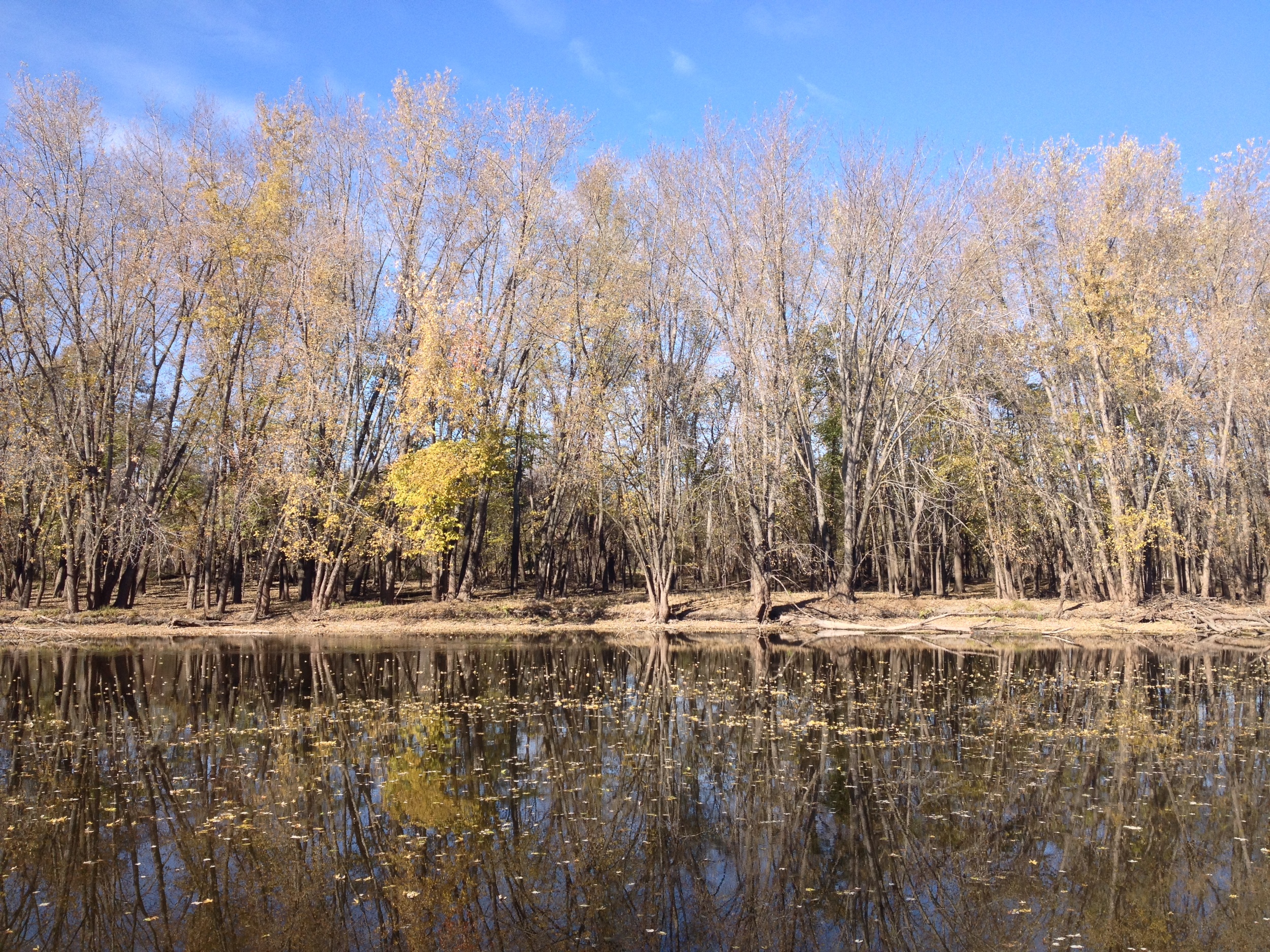
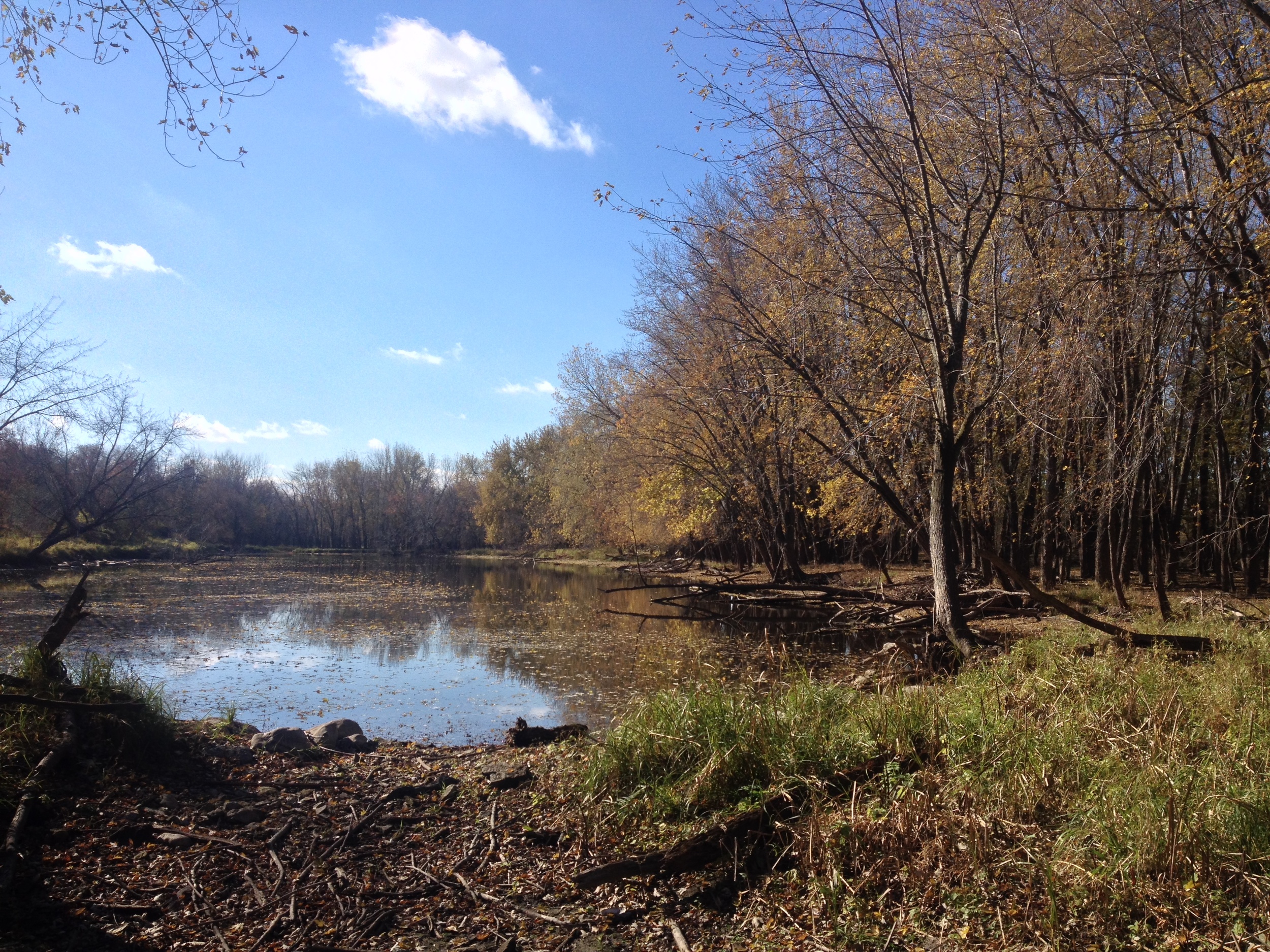
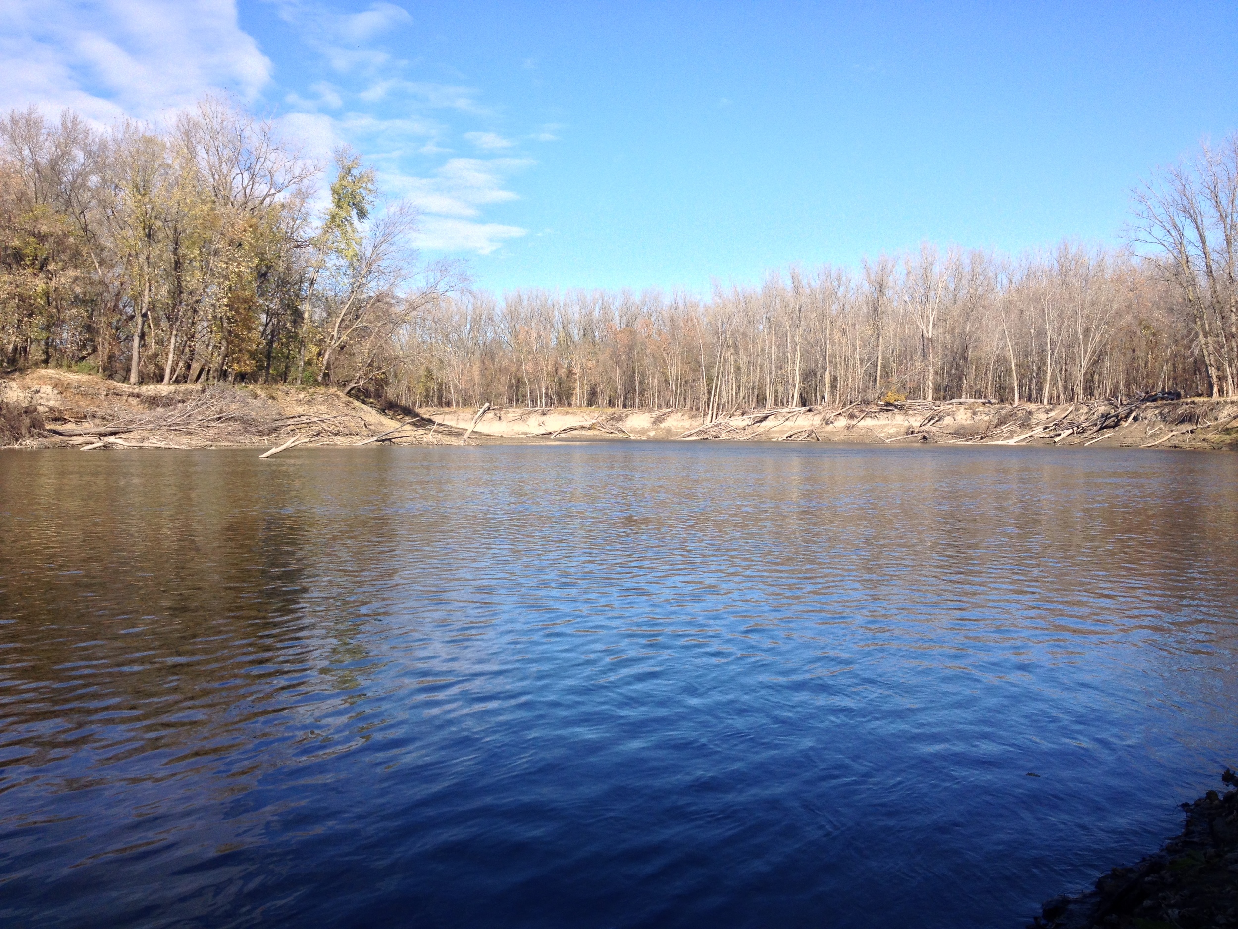
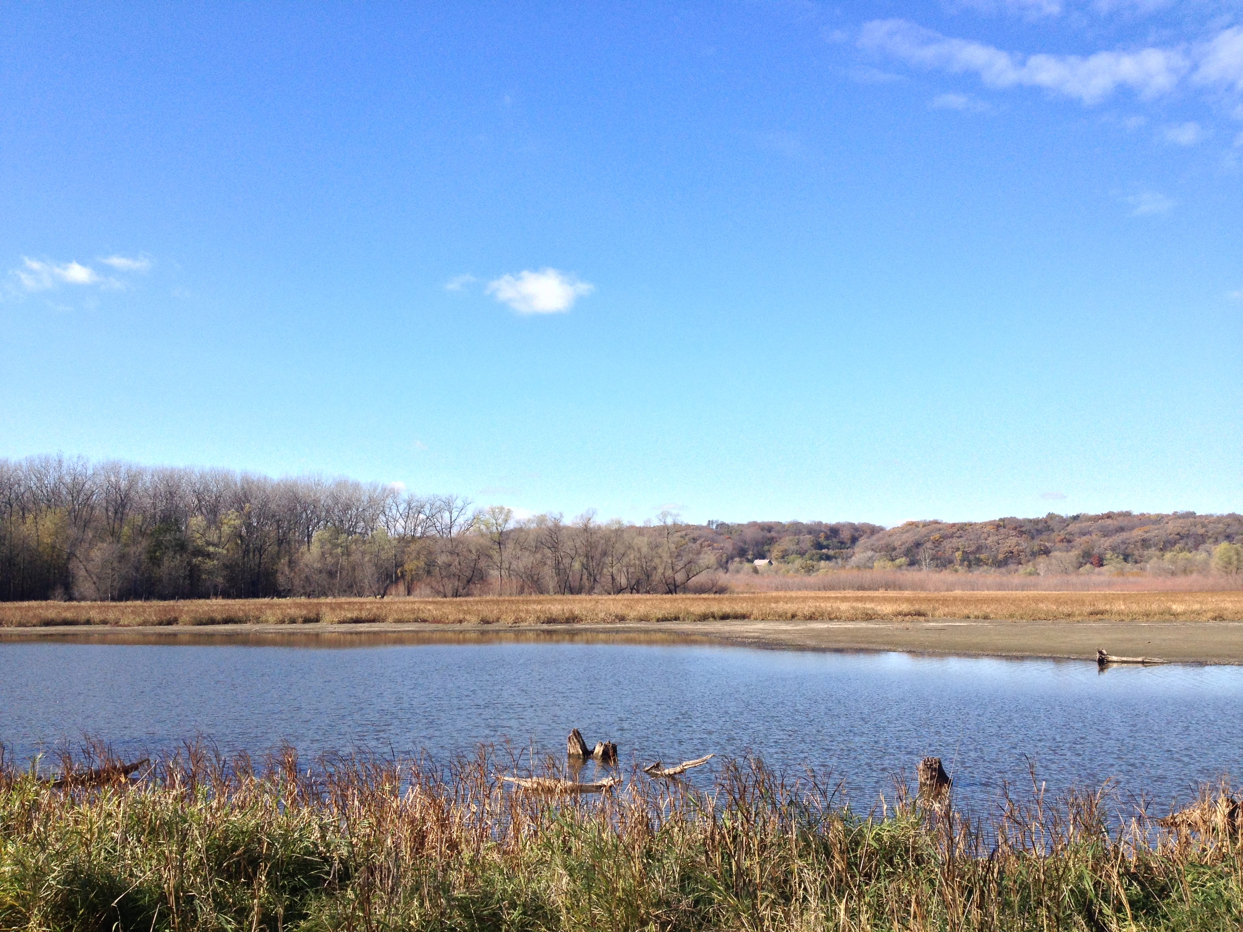
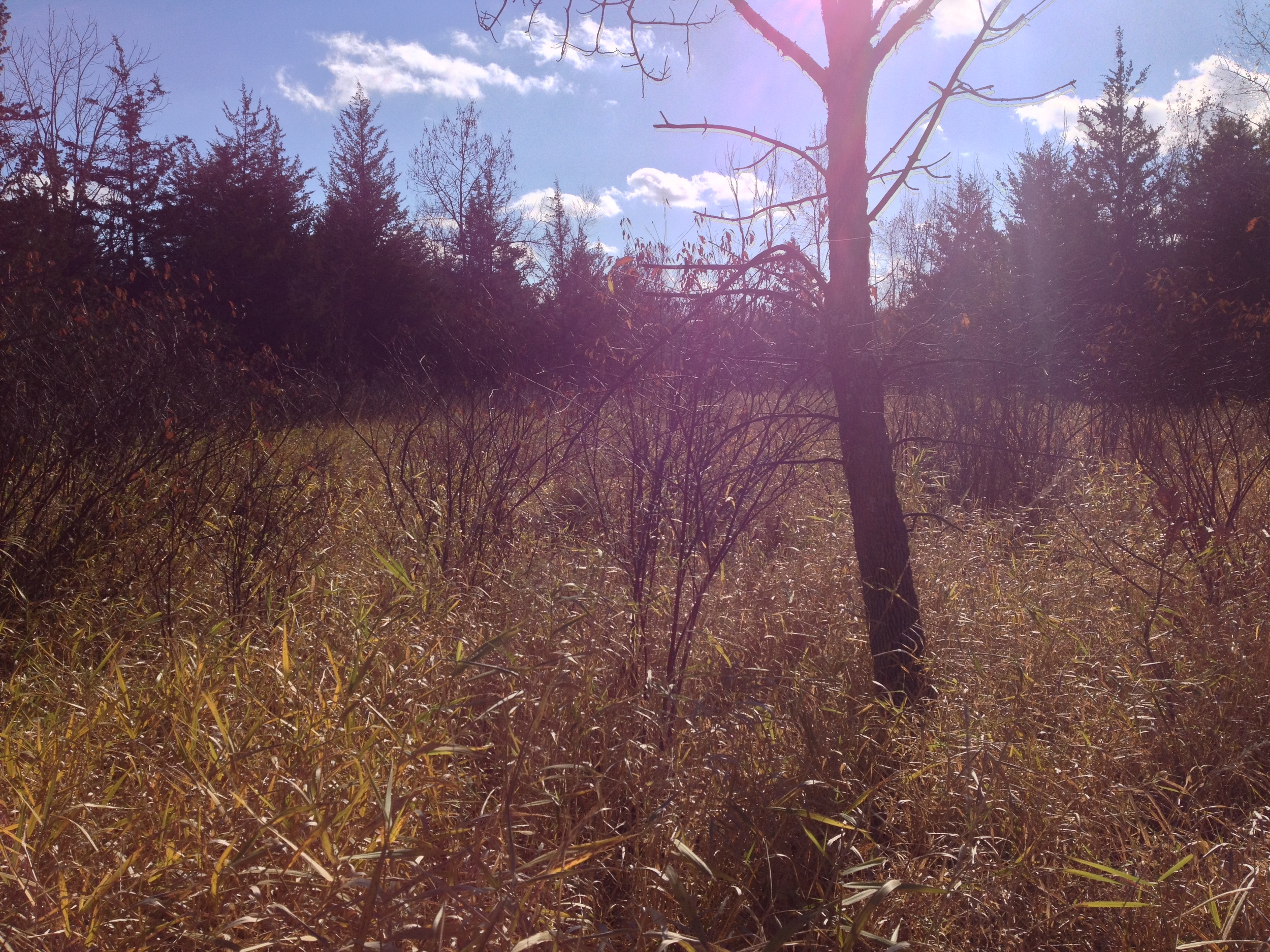
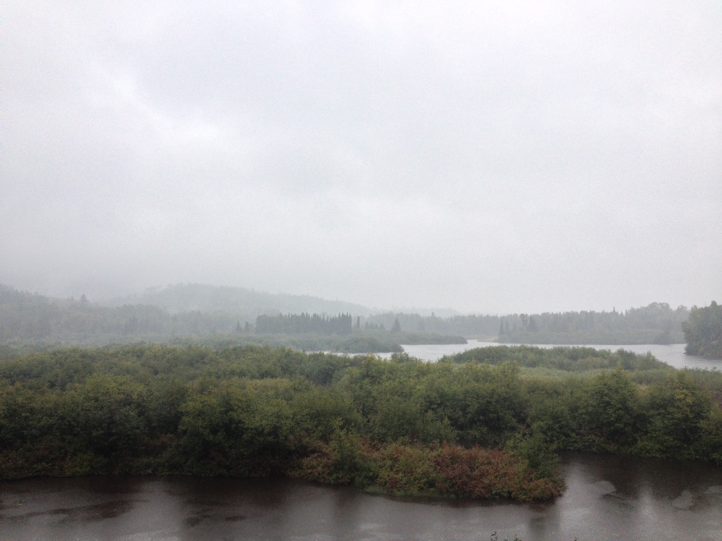
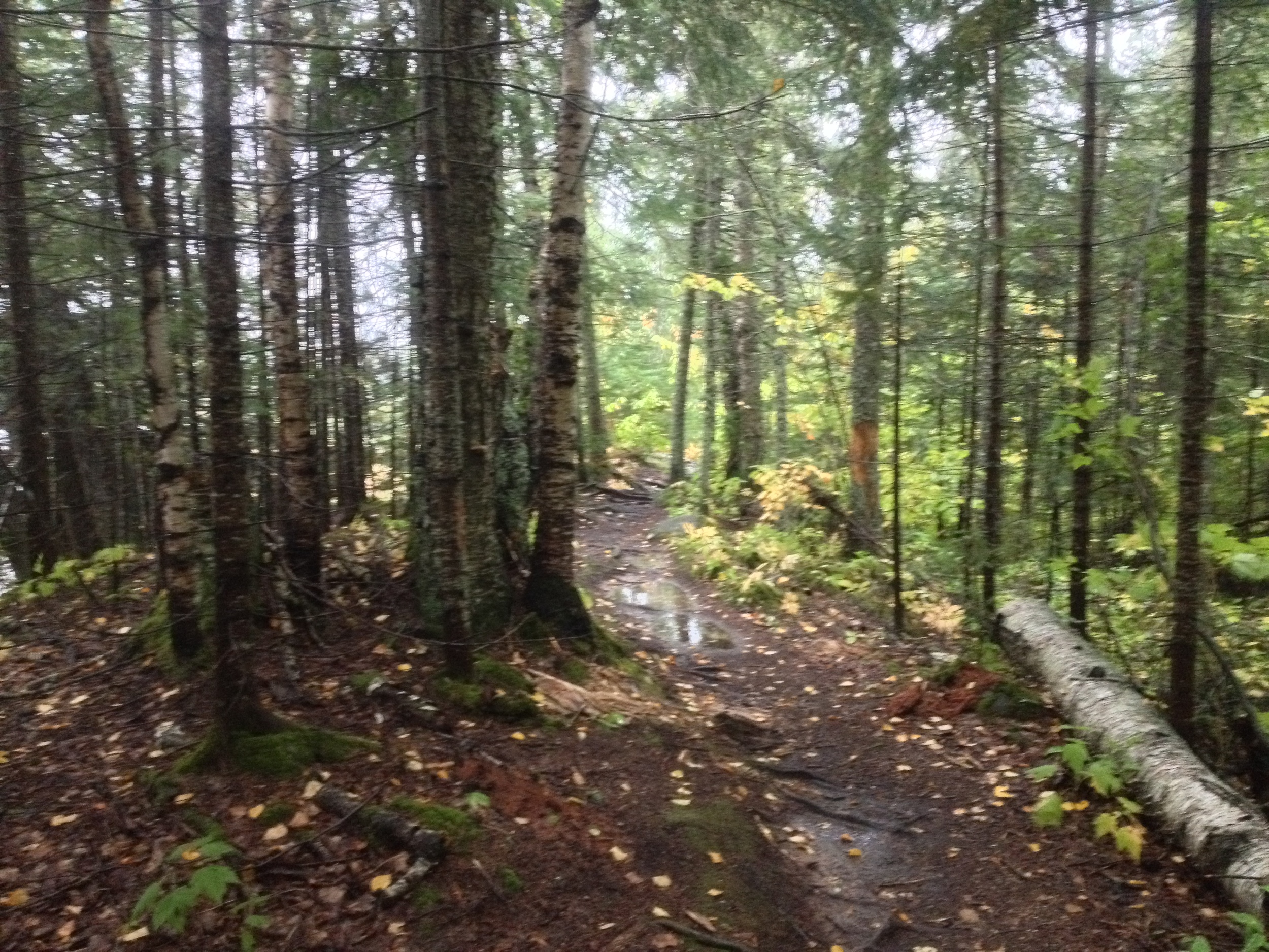
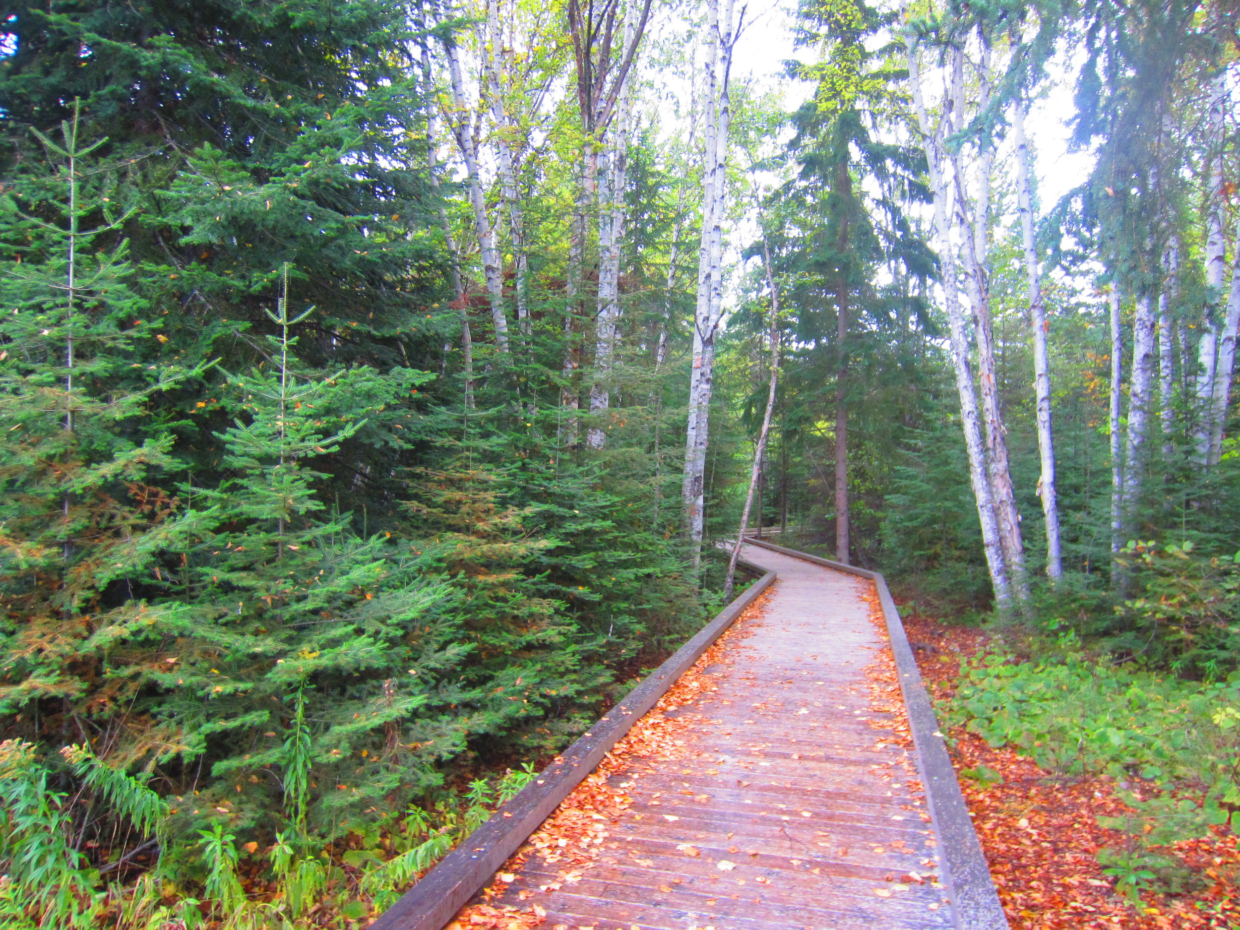
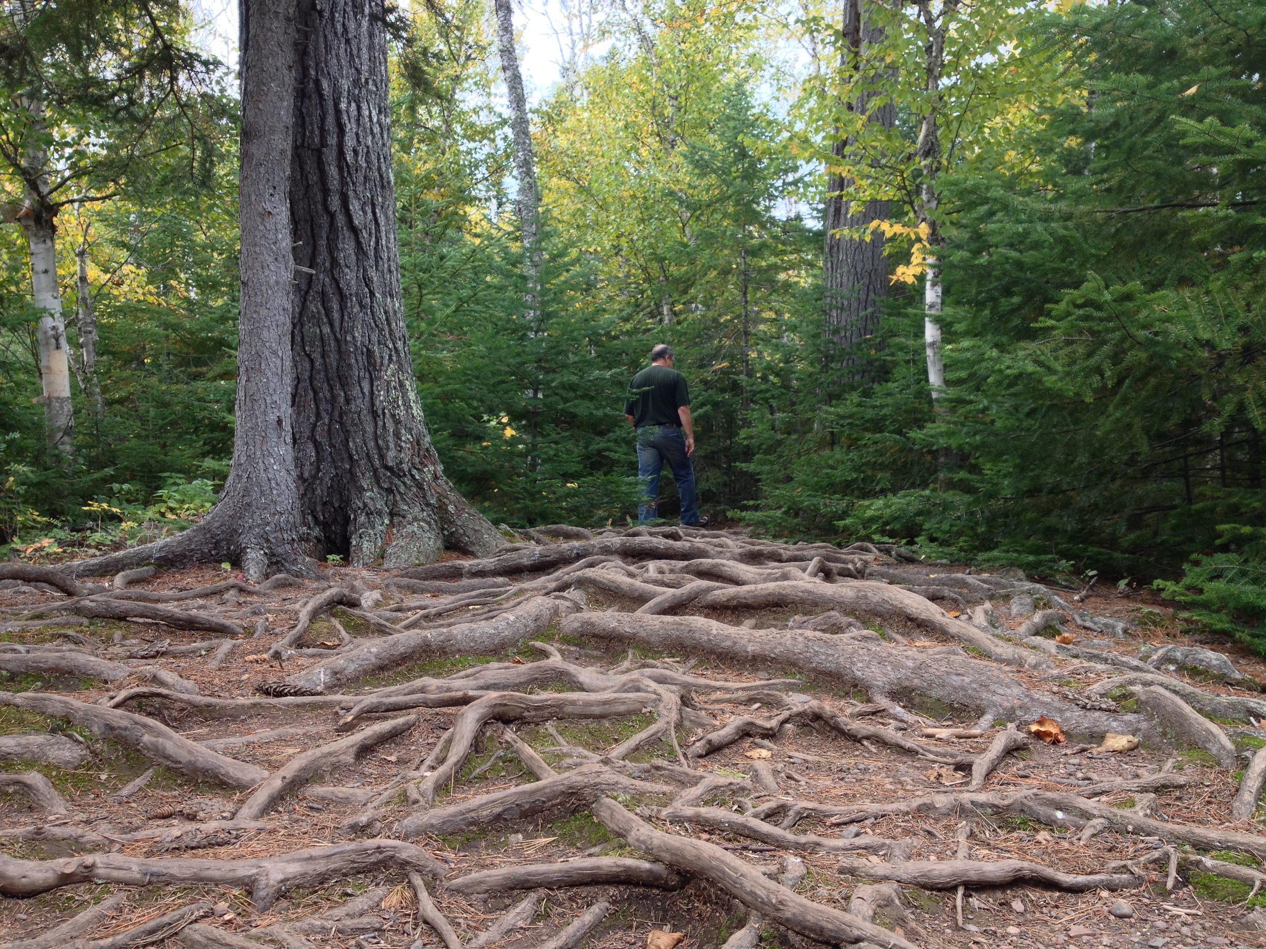
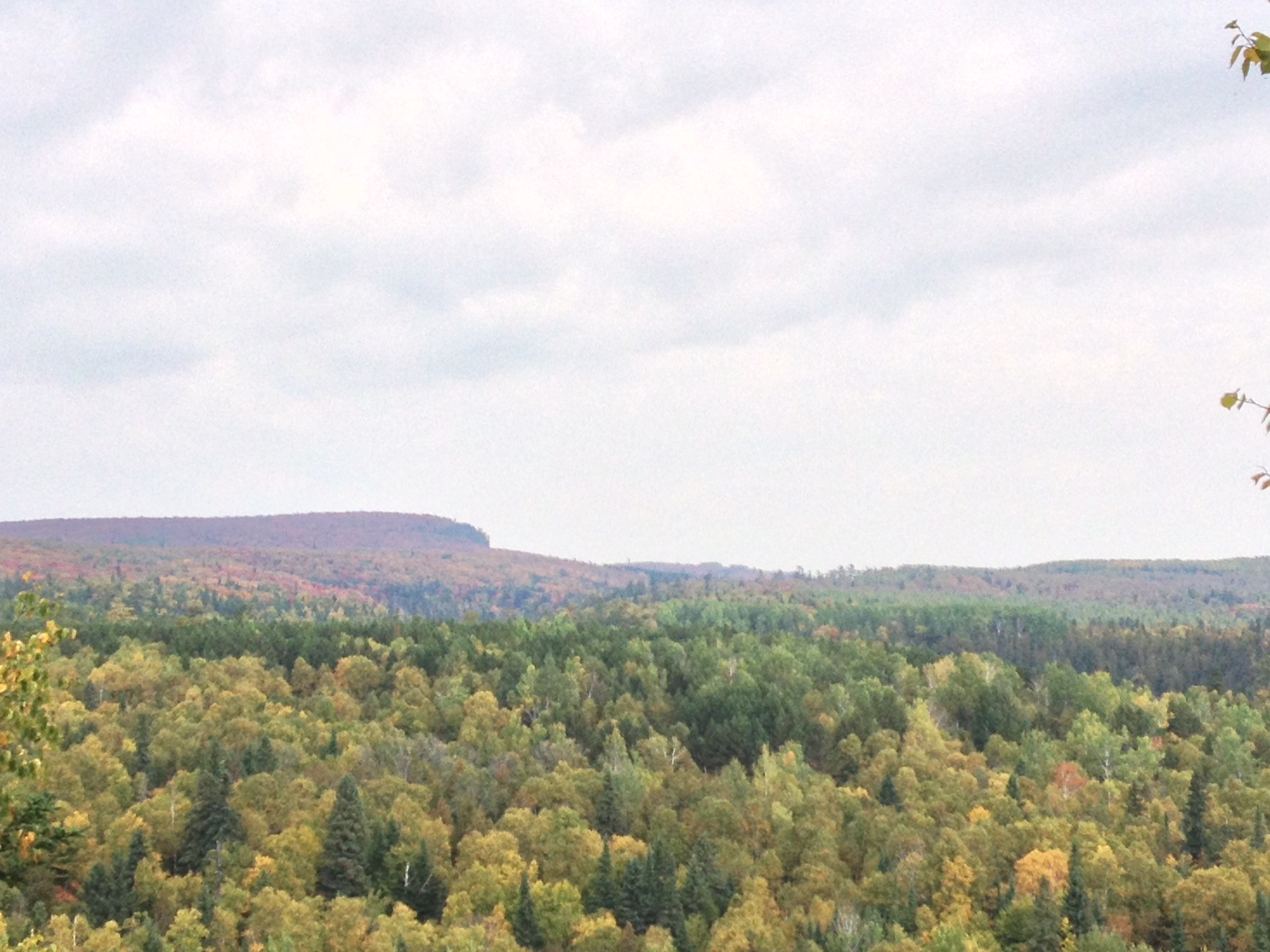
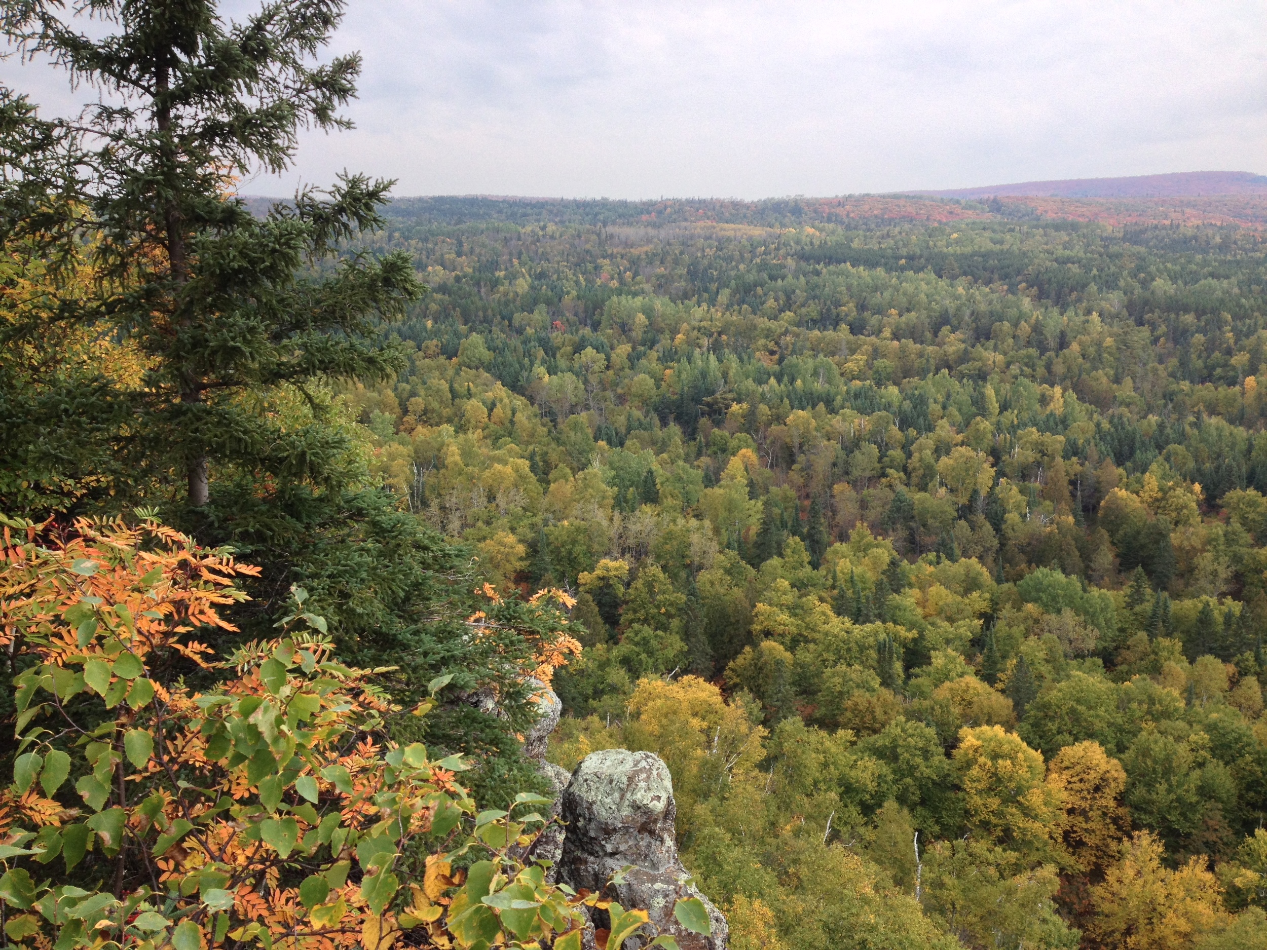
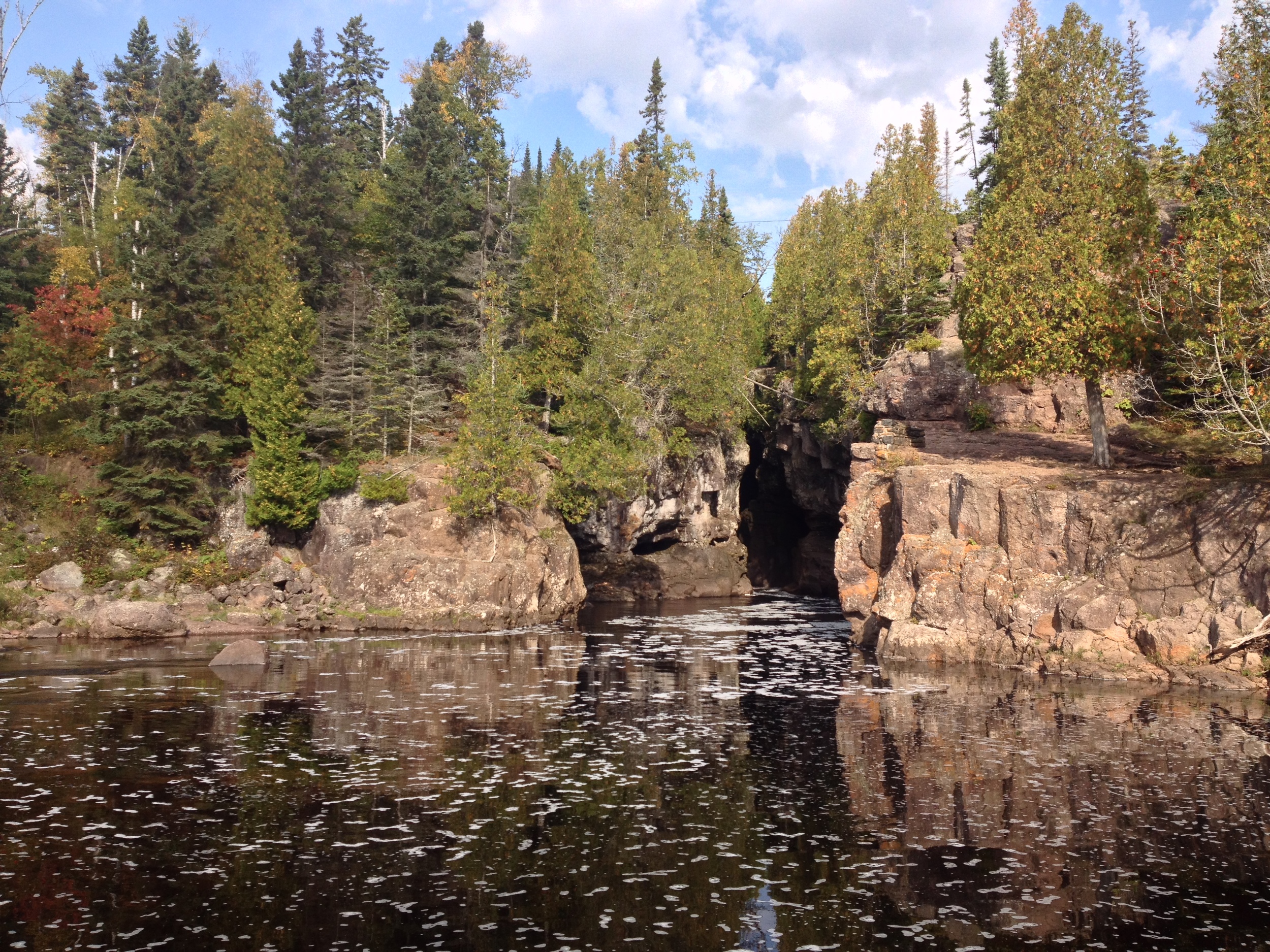
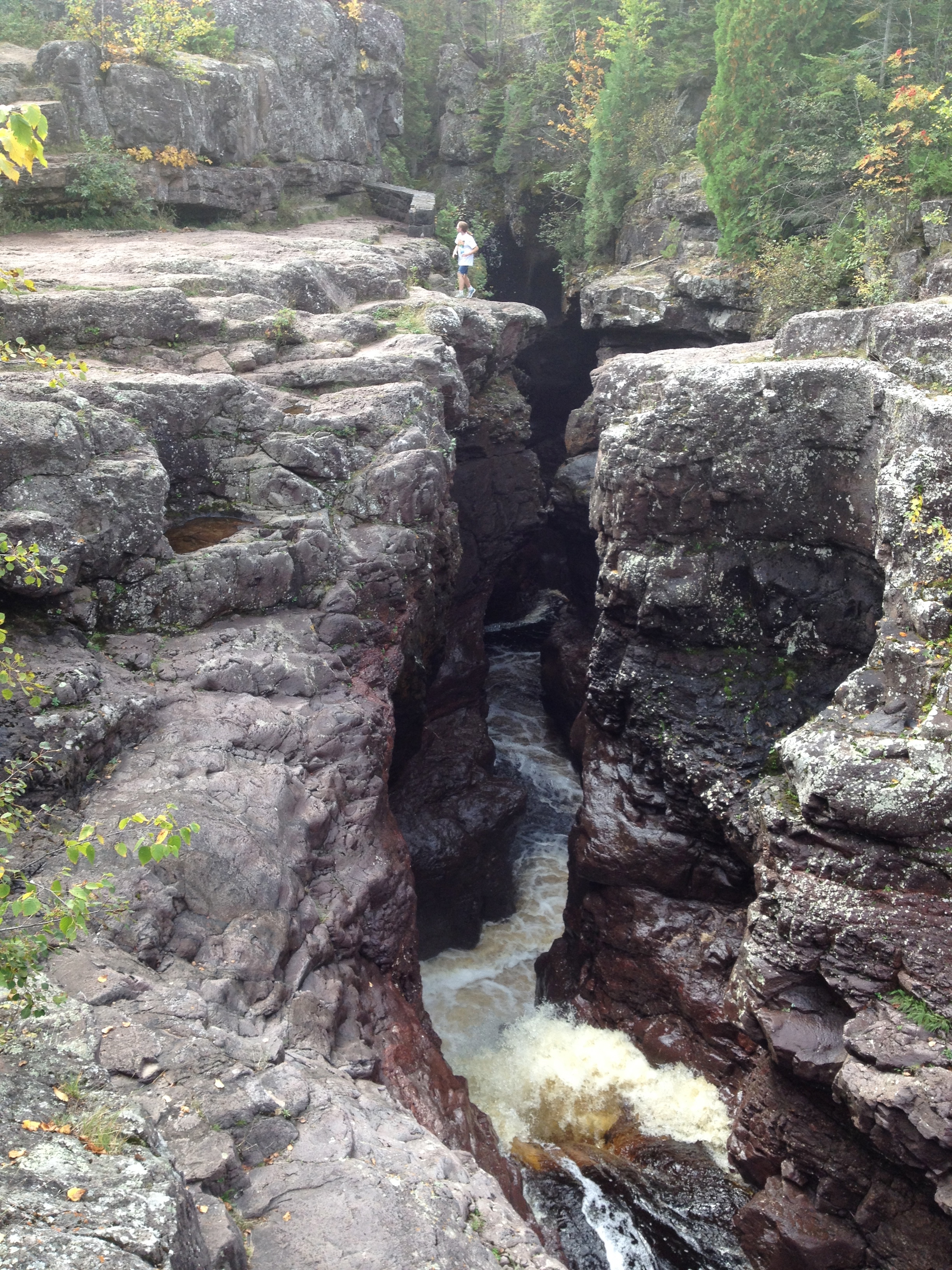
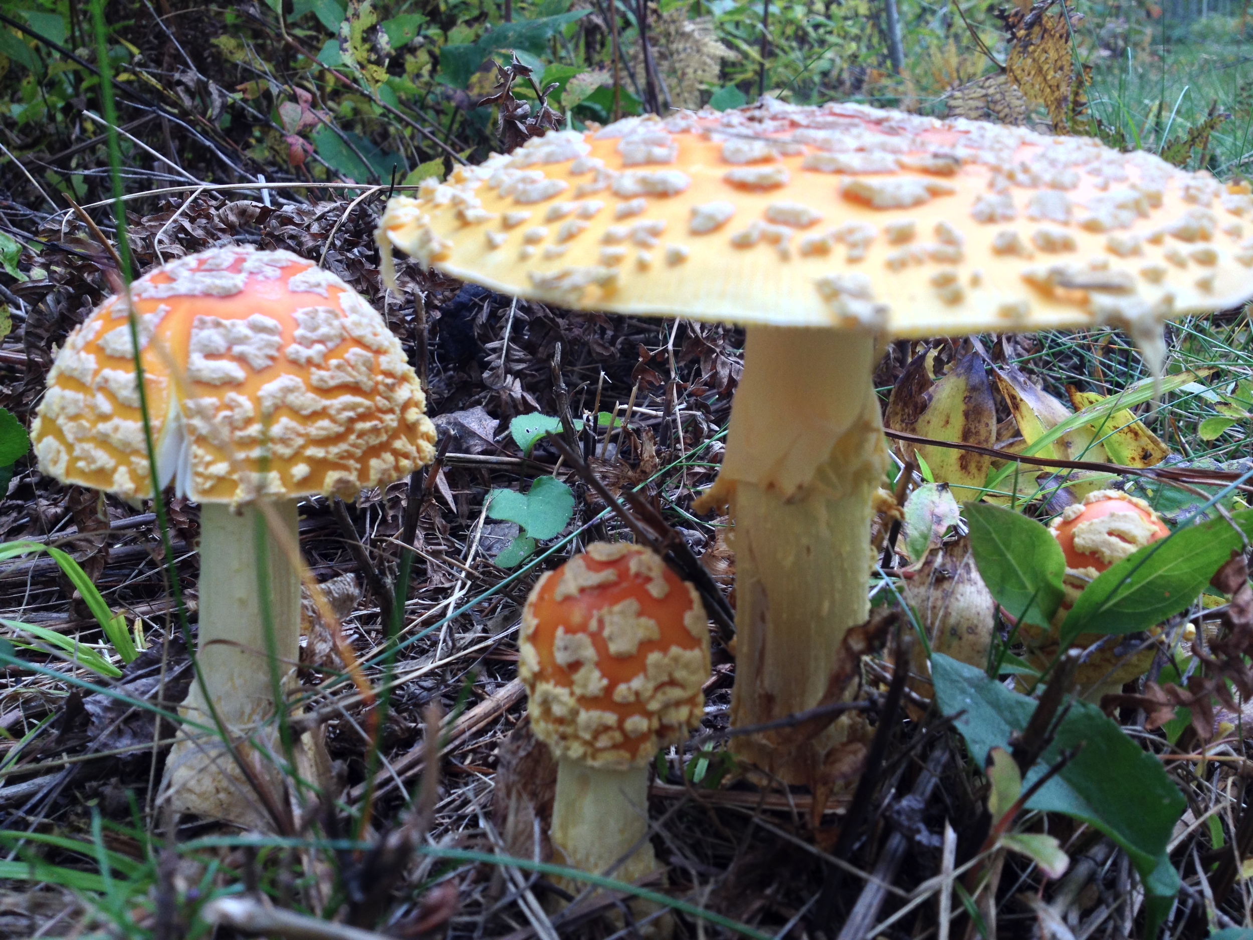
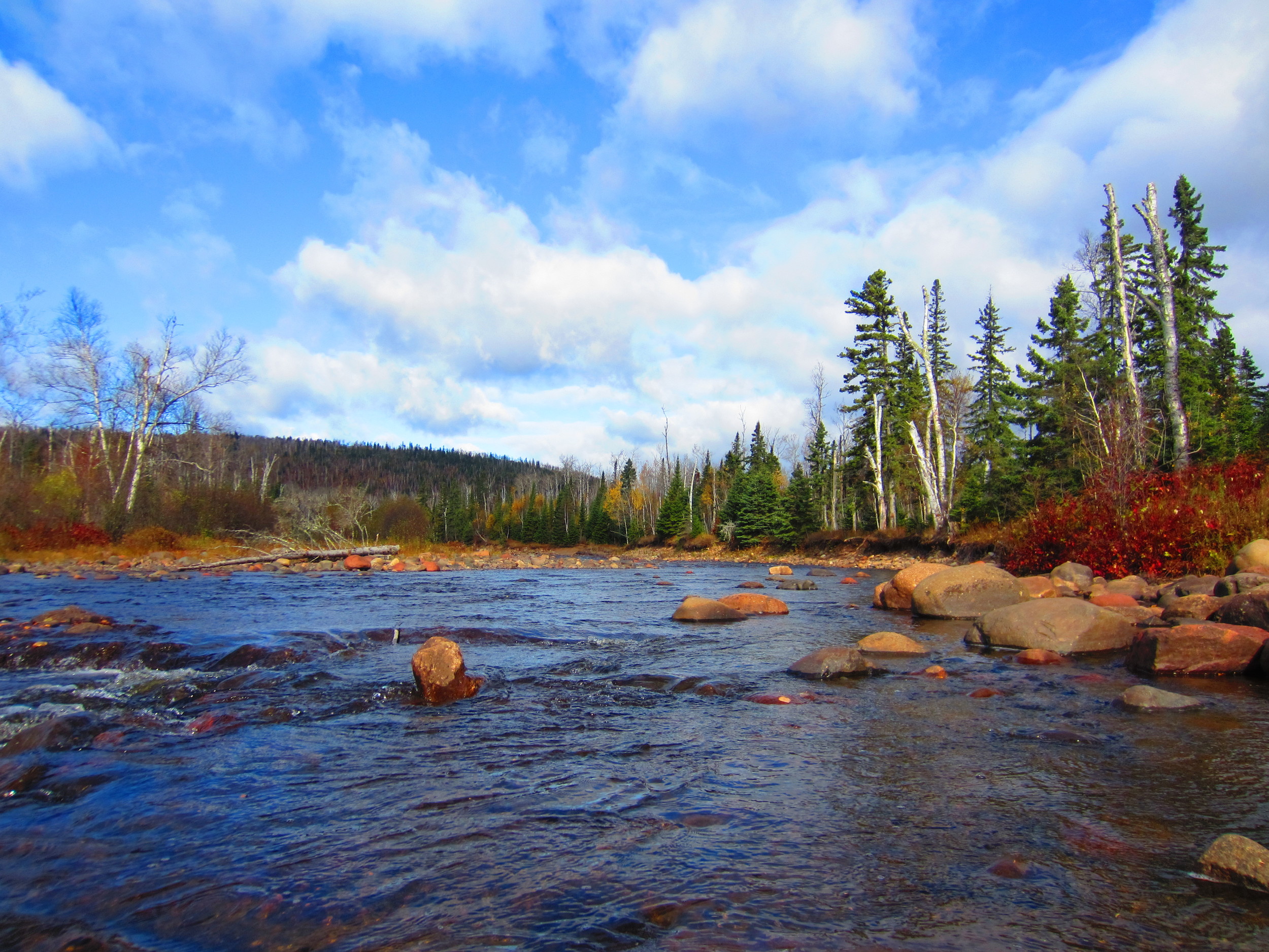
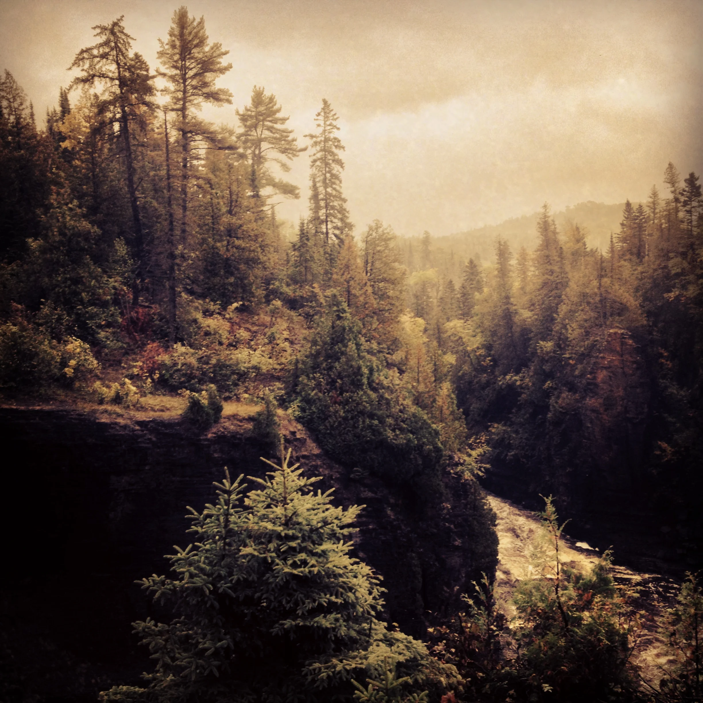
The Park: Jay Cooke State Park has always been a favorite of mine and is one of Minnesota's most popular state parks. Created from land donated by Jay Cooke, the famous Civil War financier (who also caused one of America's worst depressions when his financial empire collapsed), the 9000 acre park sits at the southern extent of the great taiga that covers nearly a third of North America. It is home to north woods animals like timberwolves, black bears, deer, and pine martins and the wild river and asperous rock outcroppings give it the kind of wilderness feel you always imagine, but so rarely actually experience in parks so close to urban centers. The St. Louis River and the newly rebuilt swinging bridge across it are the stars of Jay Cooke, but a jaunt along some of the trails and into the forest reveal that Jay Cooke has much more to offer. The mixed birch-pine forest, so characteristic of northeastern Minnesota, takes on rugged, primeval essence when set against the background of the untamed St. Louis River valley. There are several hike-in sites that allow you to truly experience the park - in the woods and away from other people.

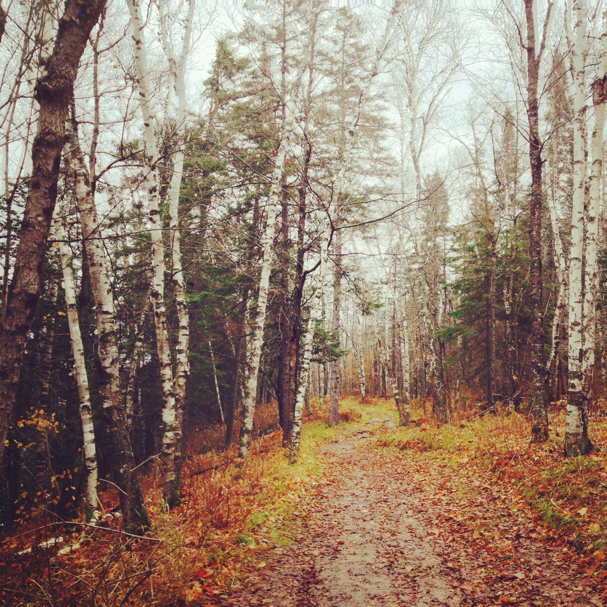
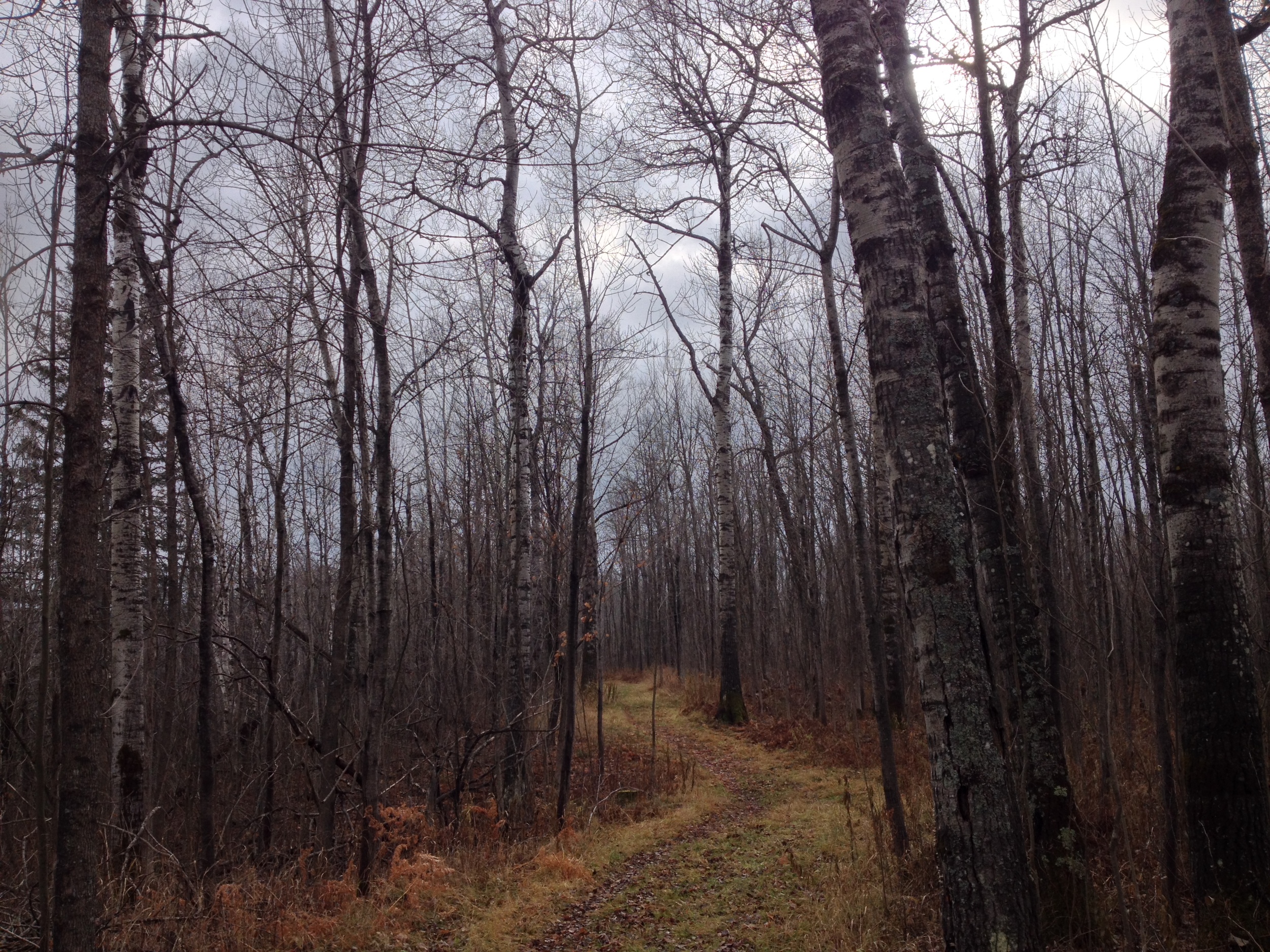
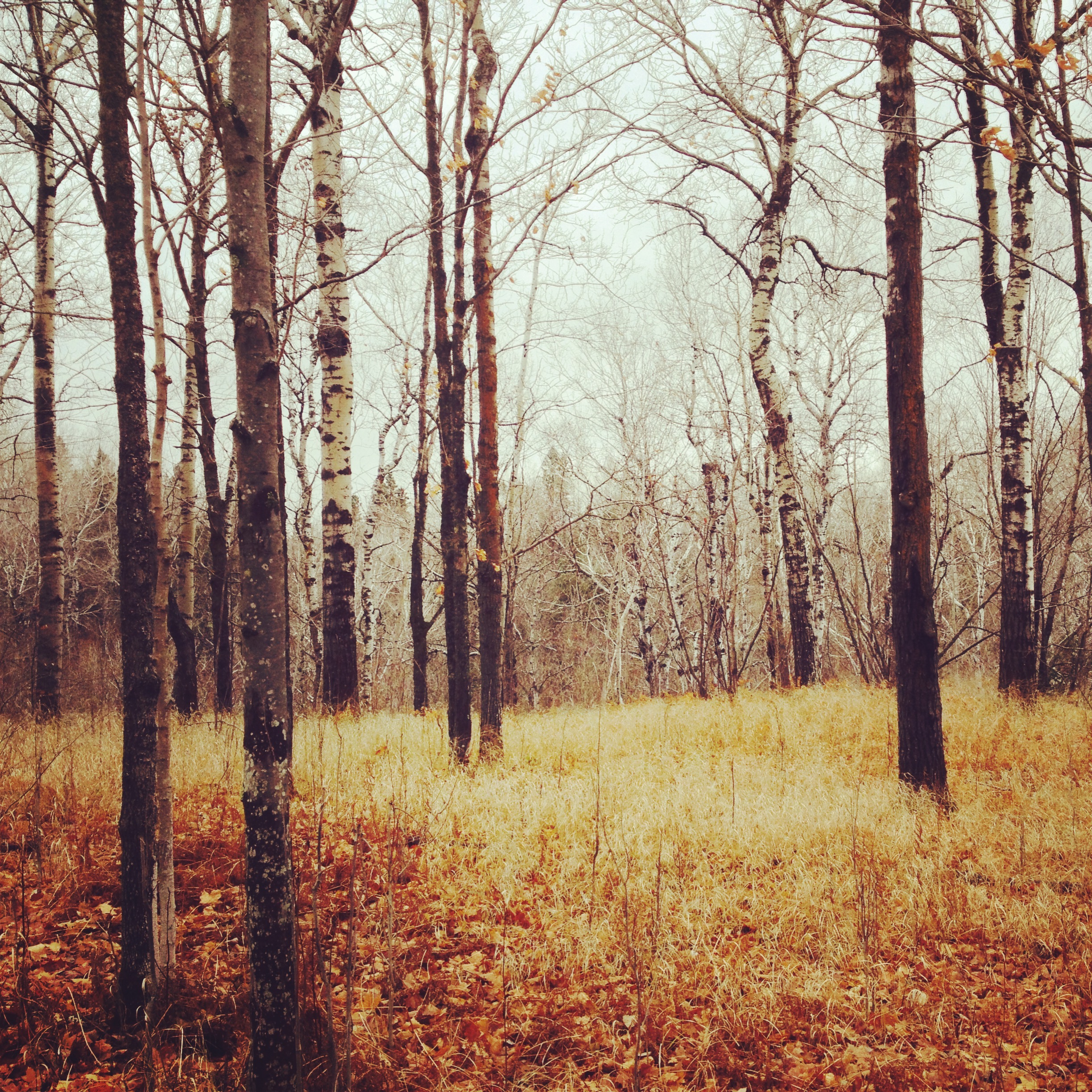
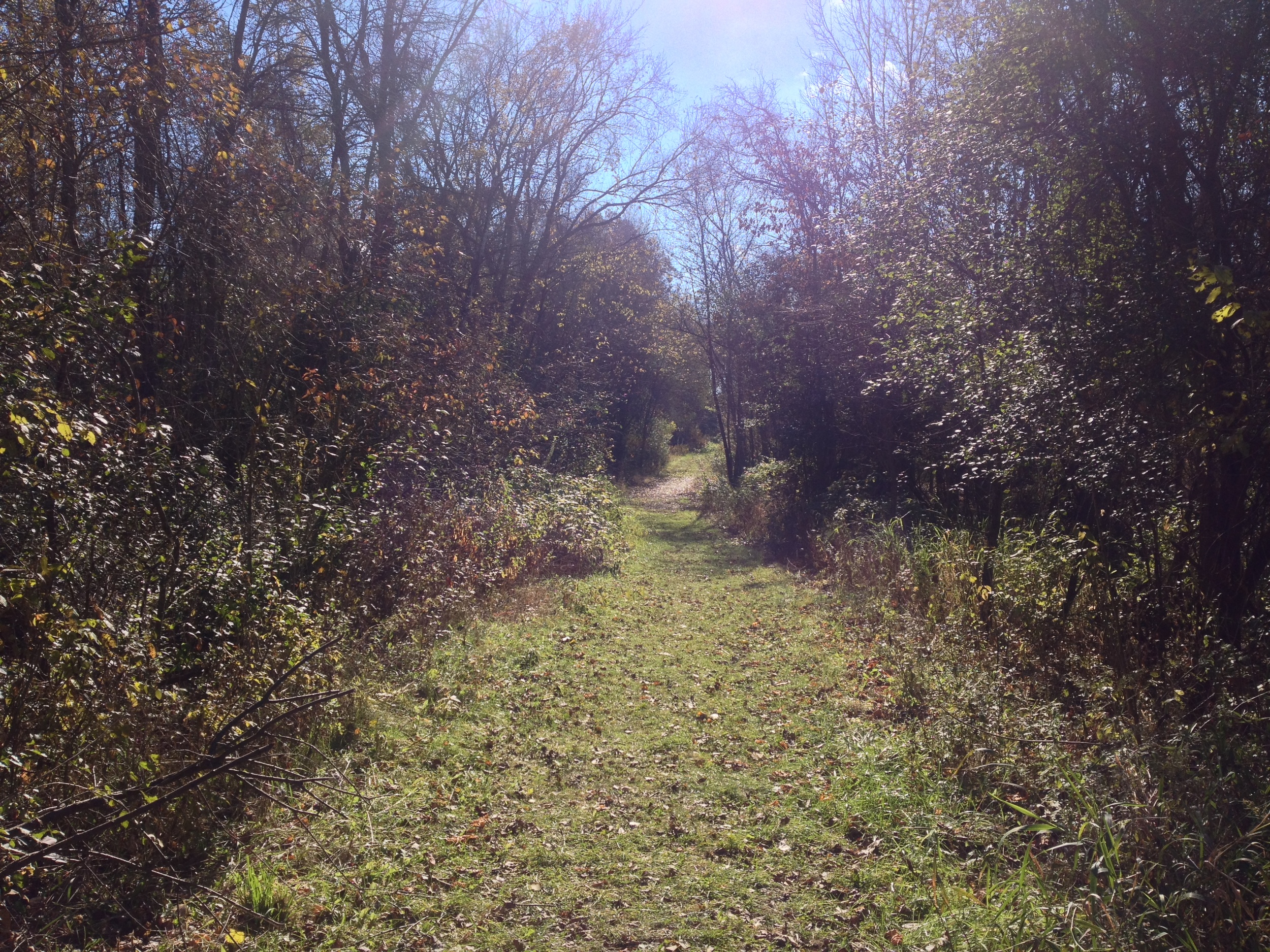
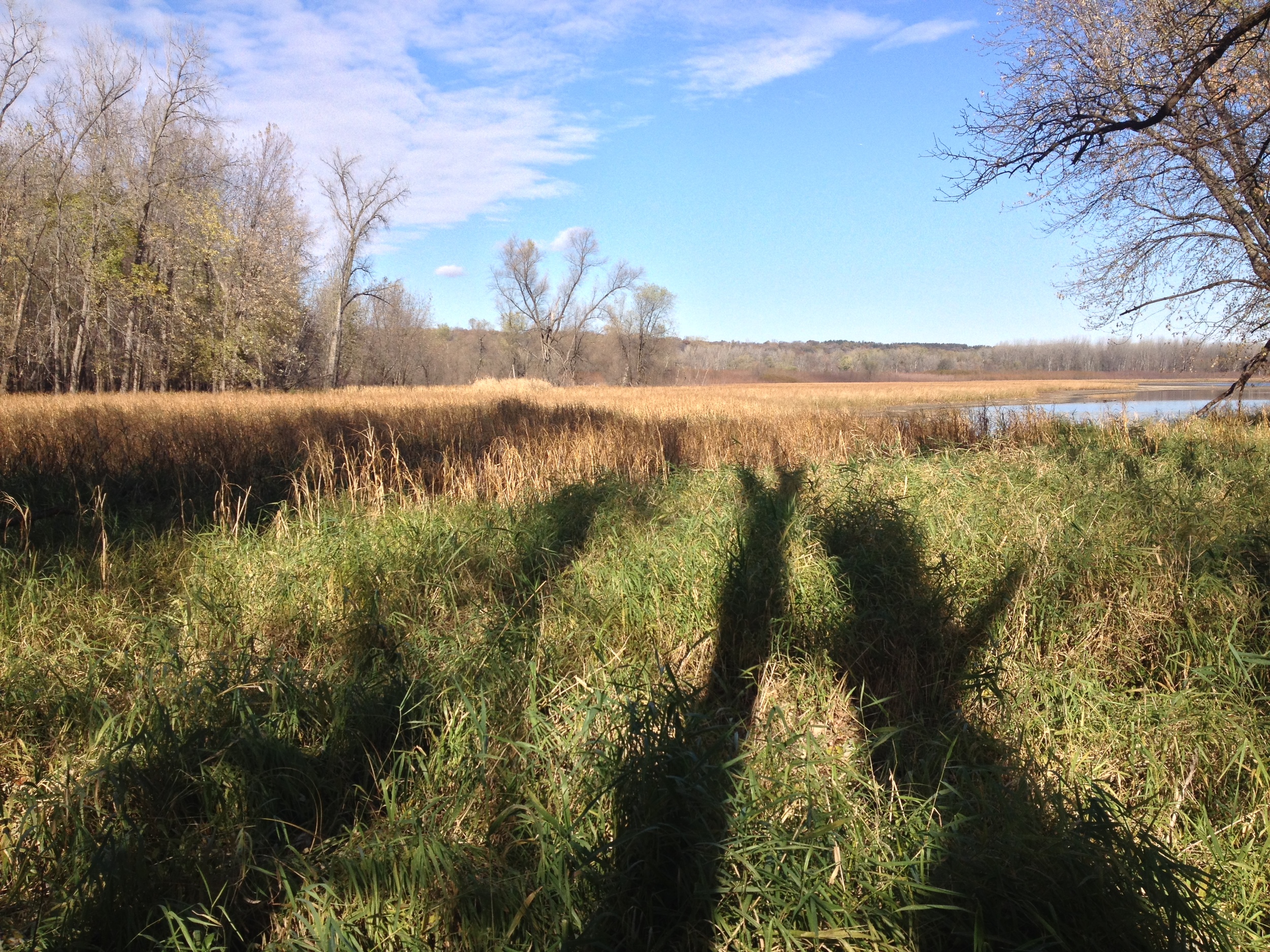
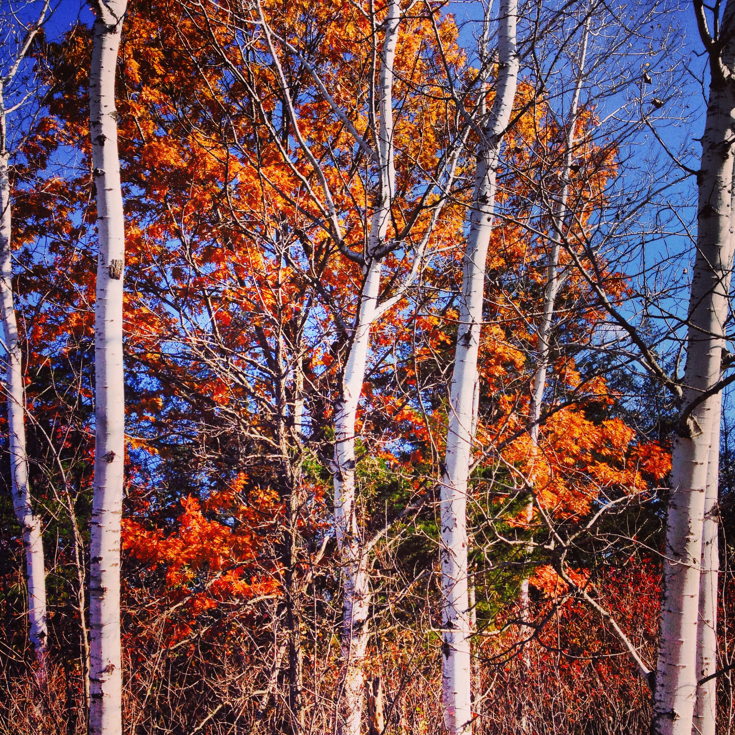
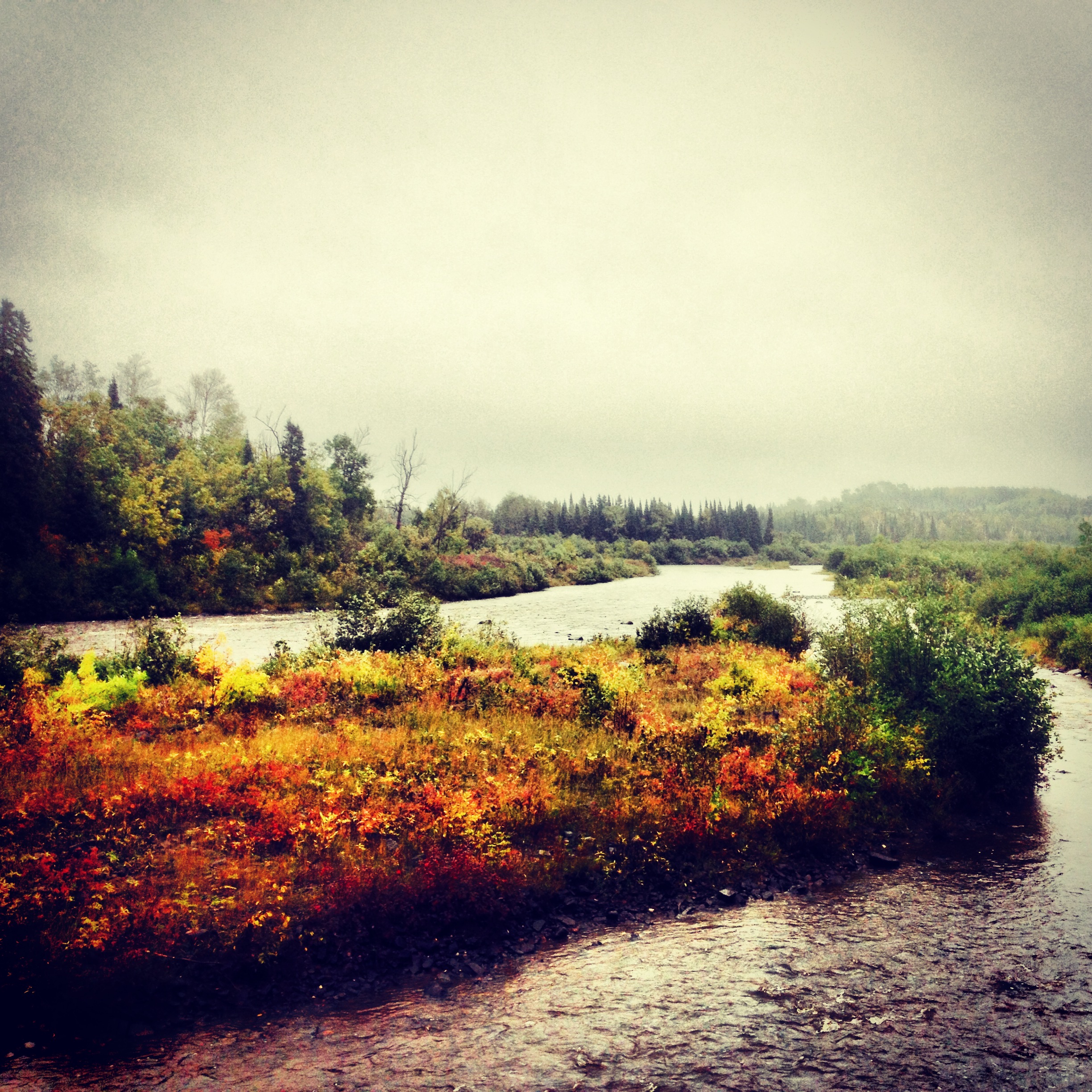
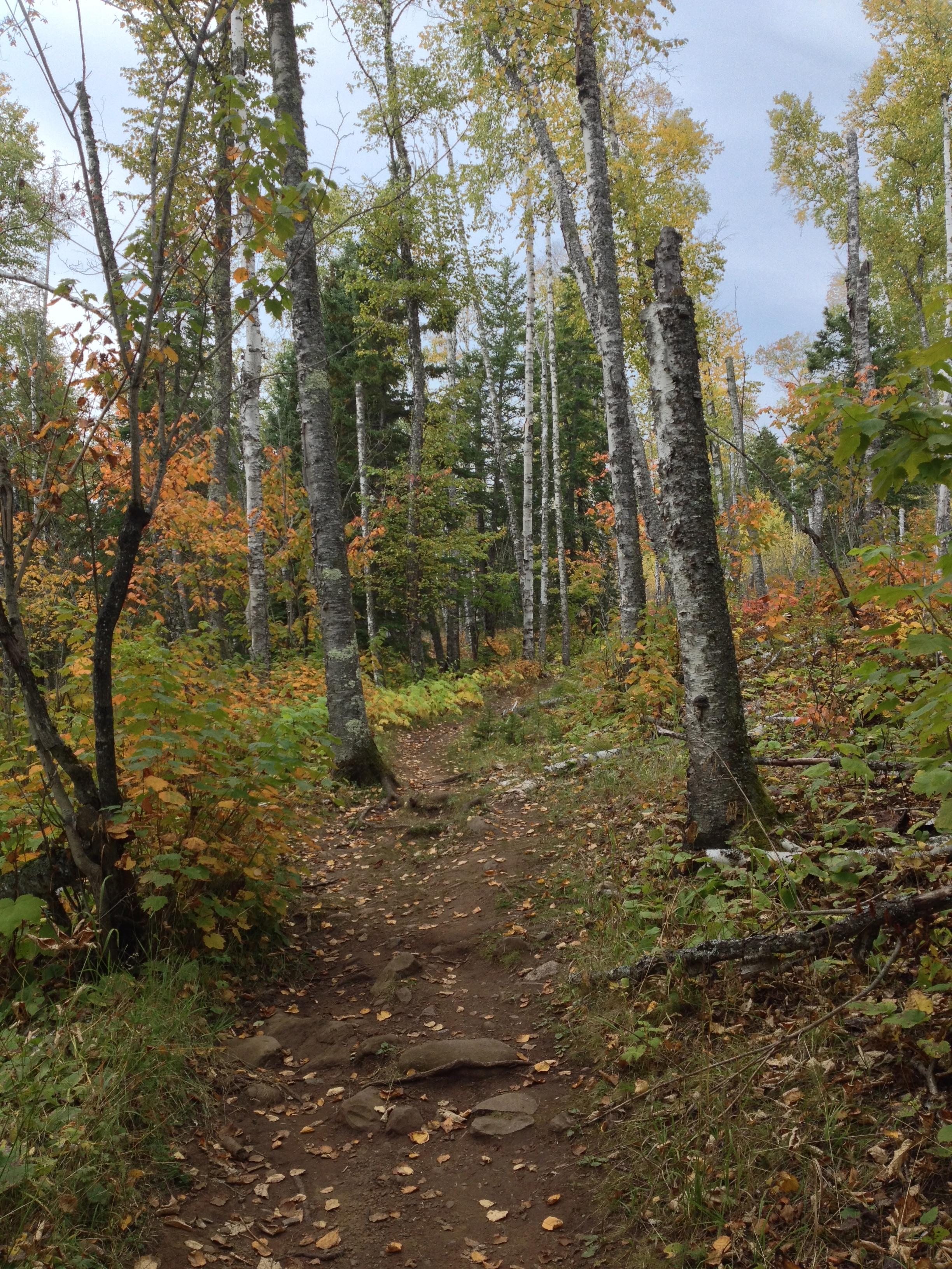
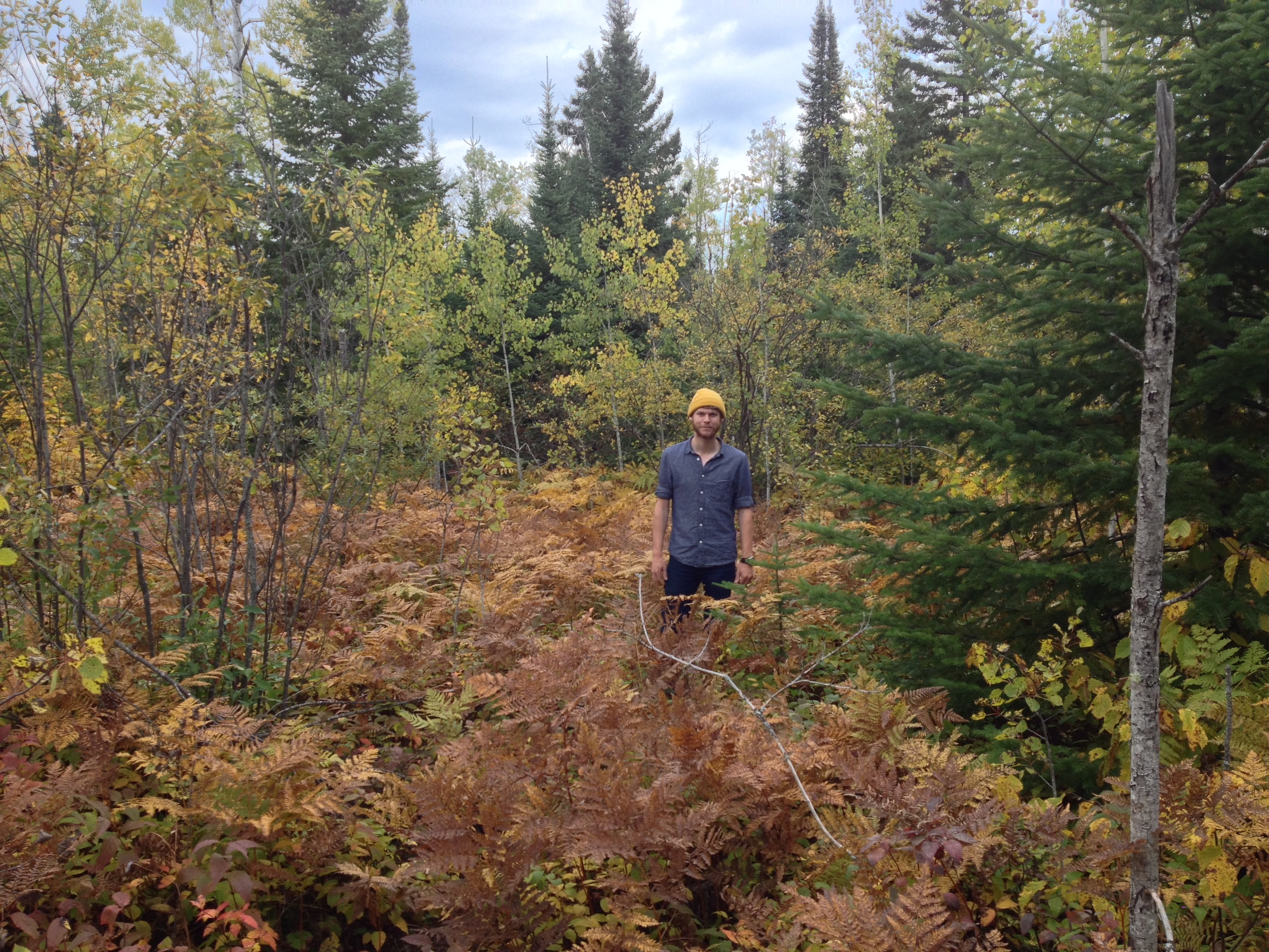
The Birch and Aspen groves at Jay Cooke State Park can only be seen by leaving the riverbanks. 

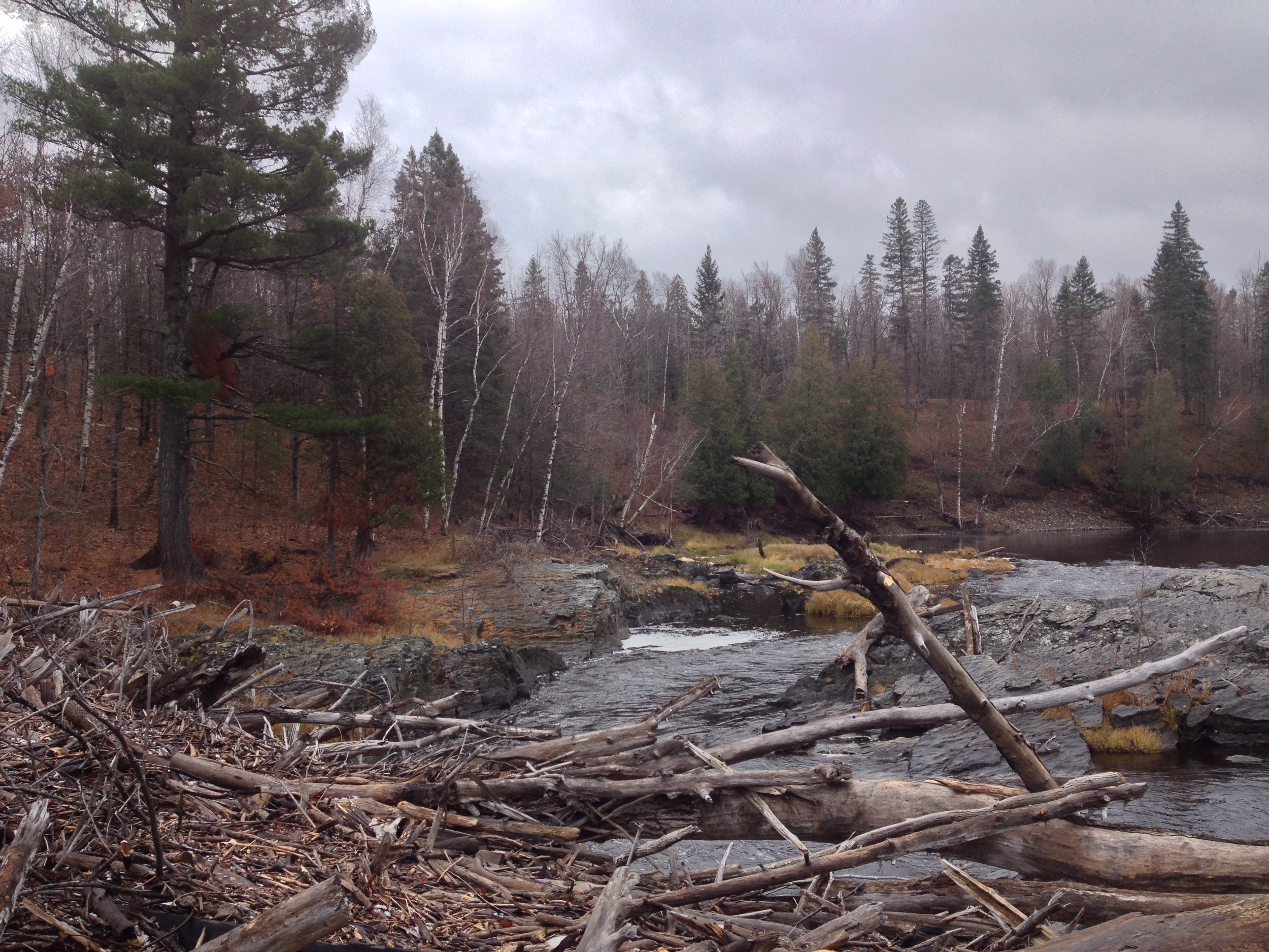
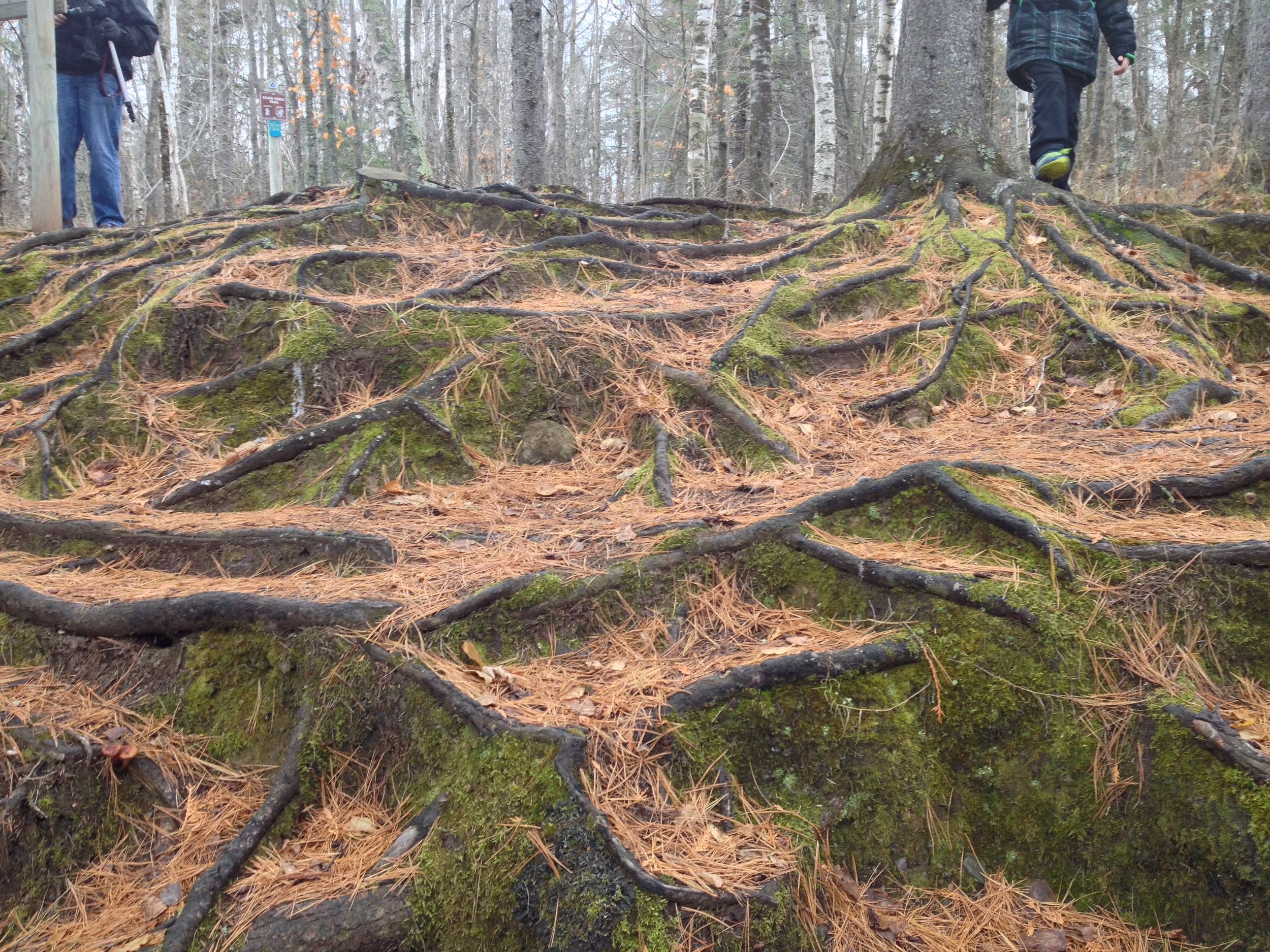
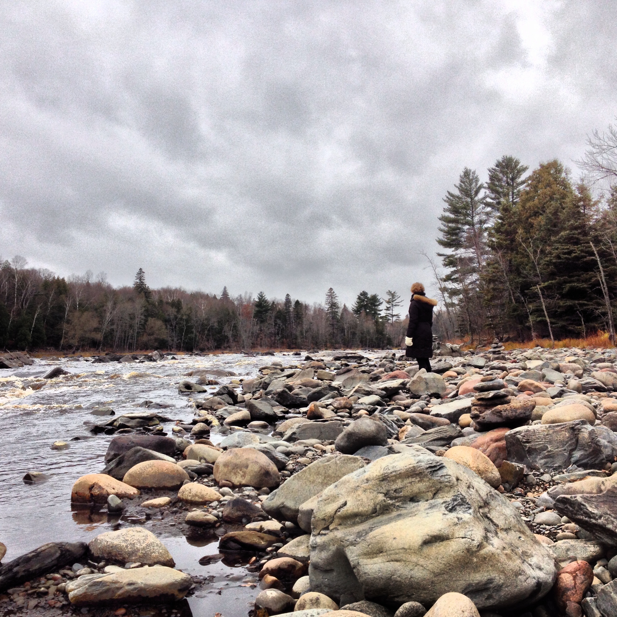
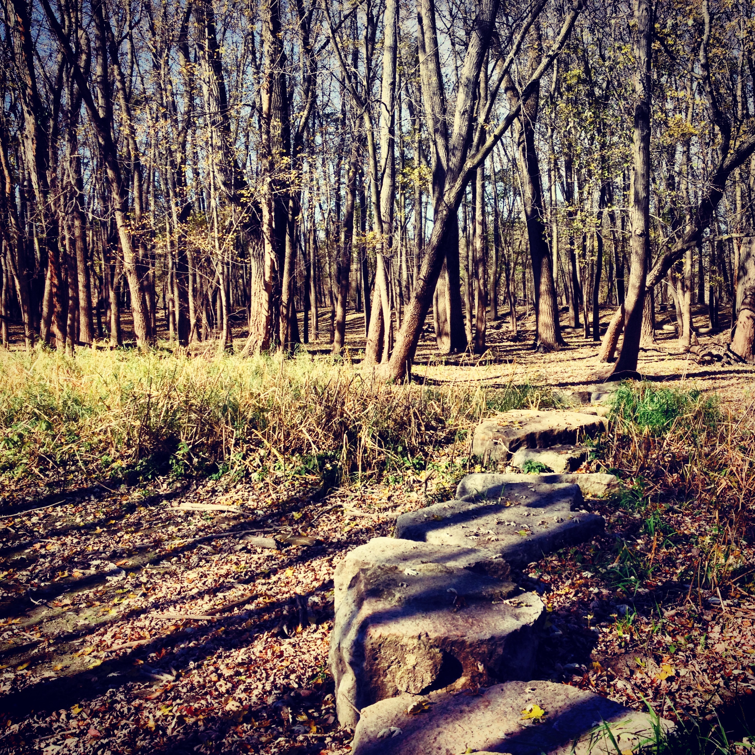
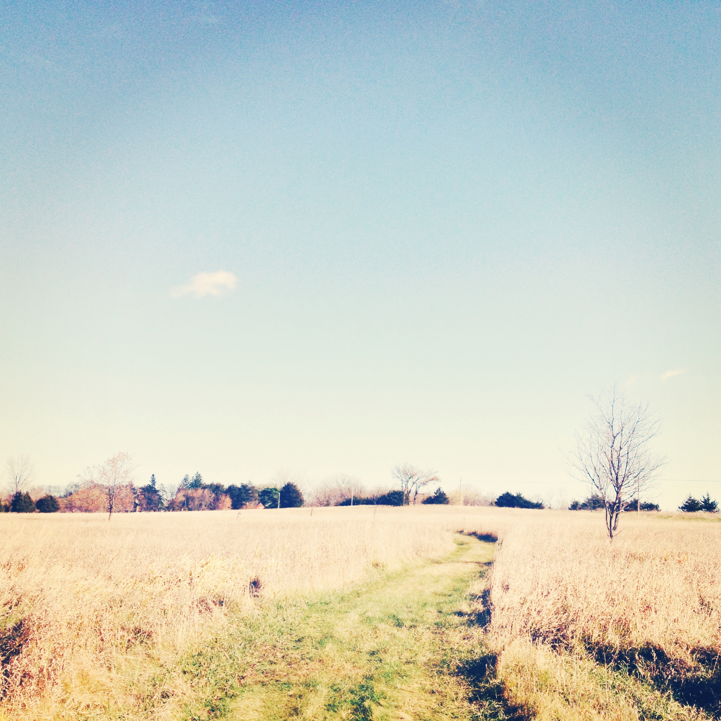
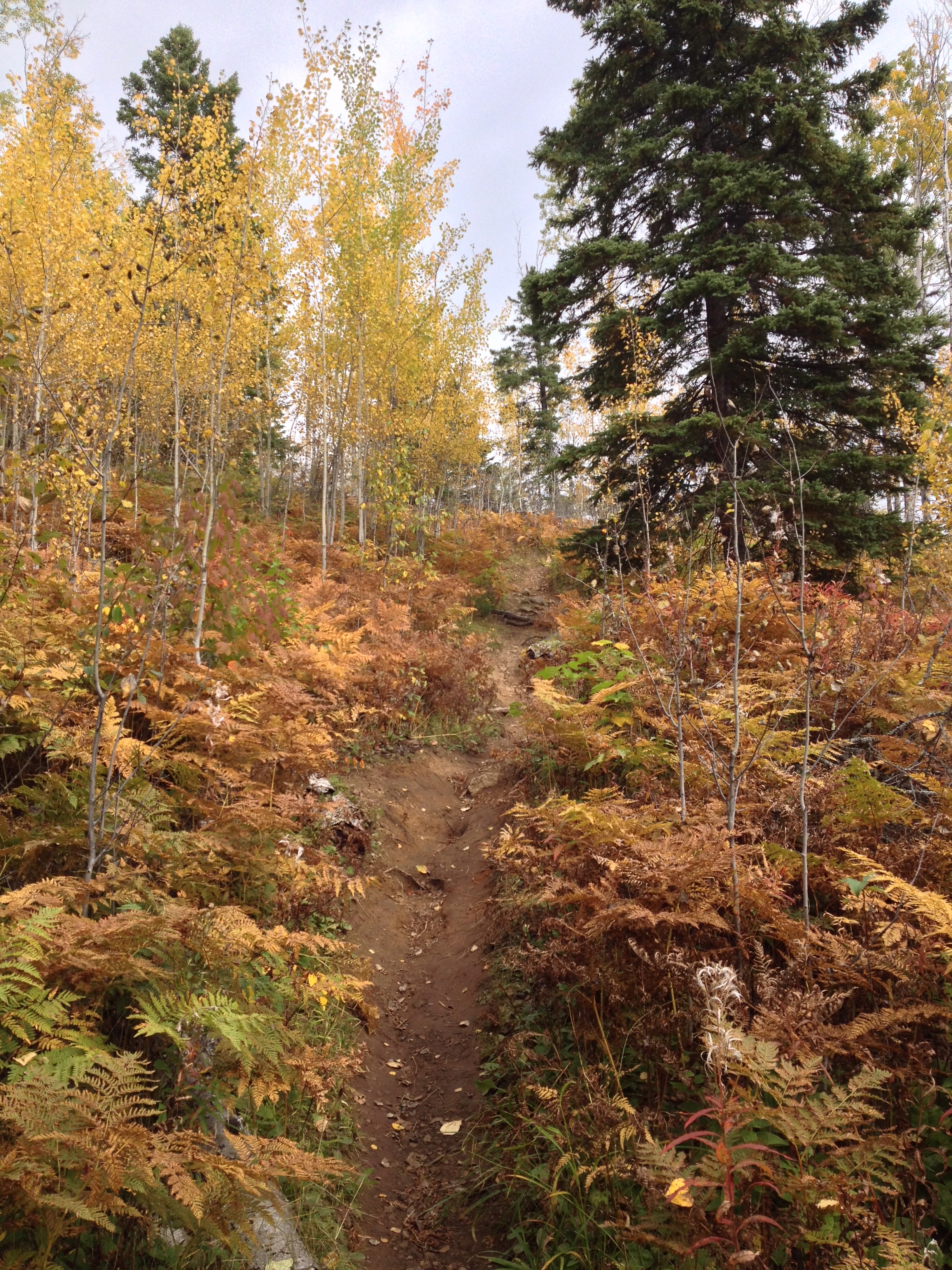
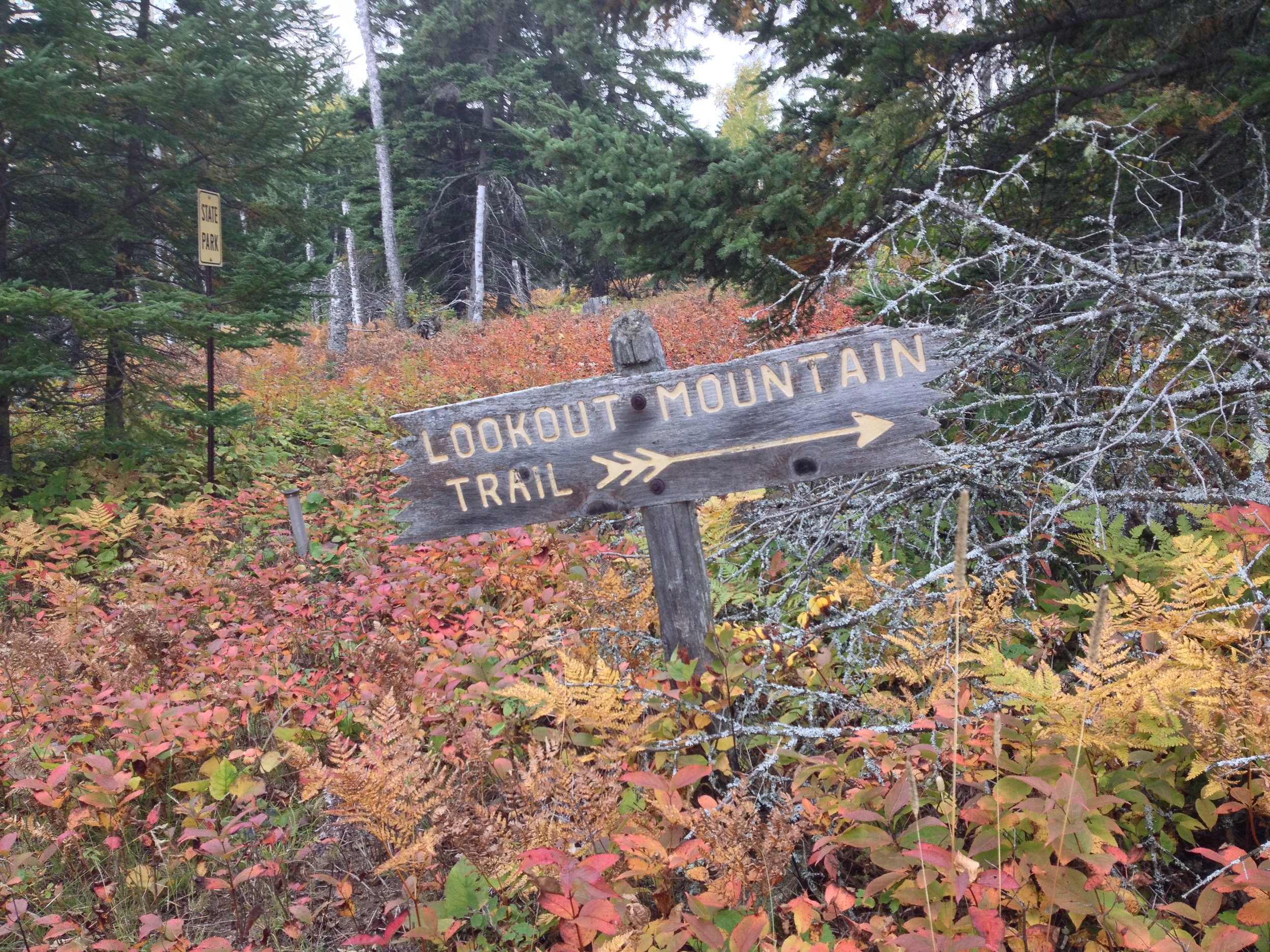
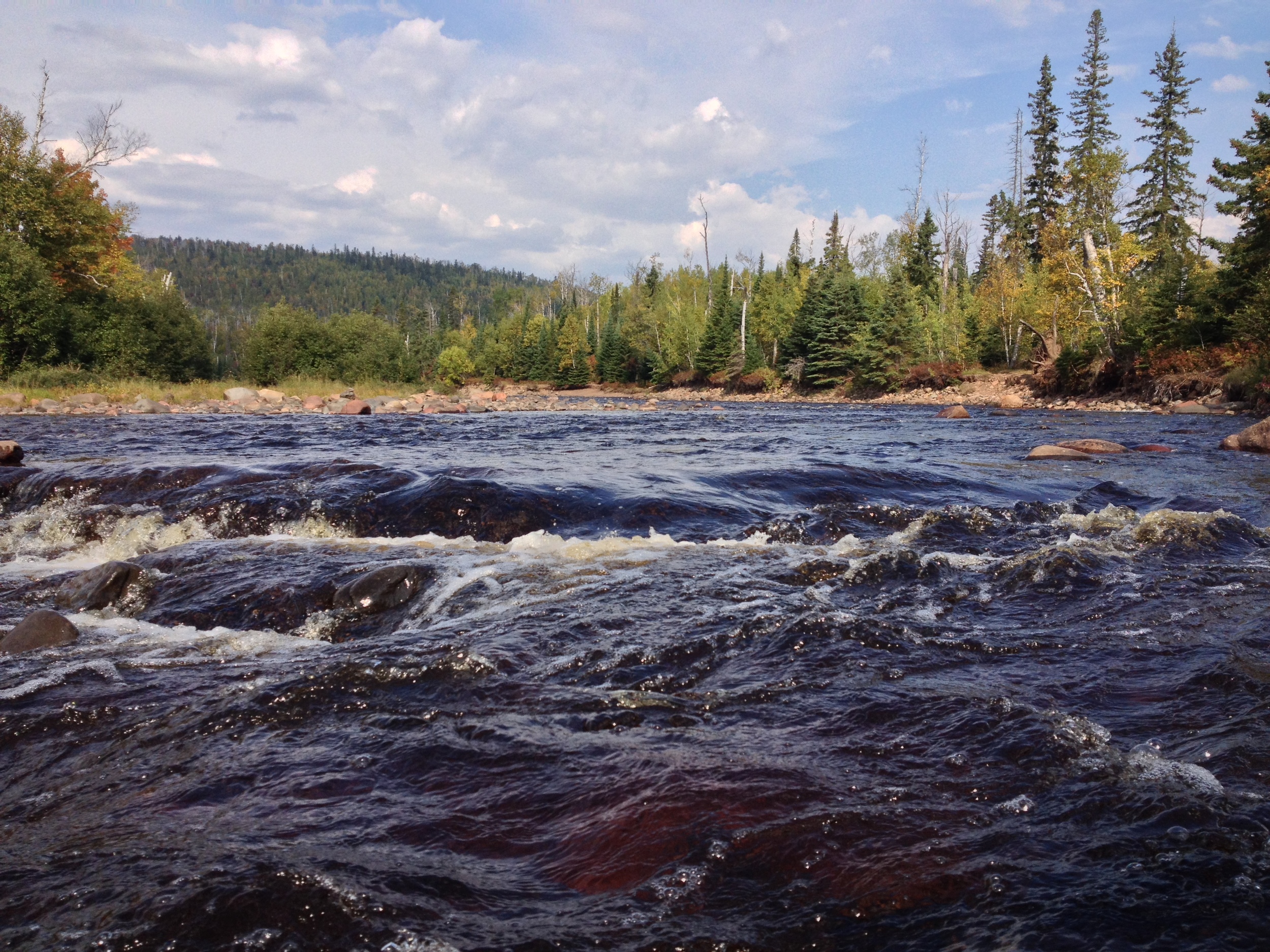
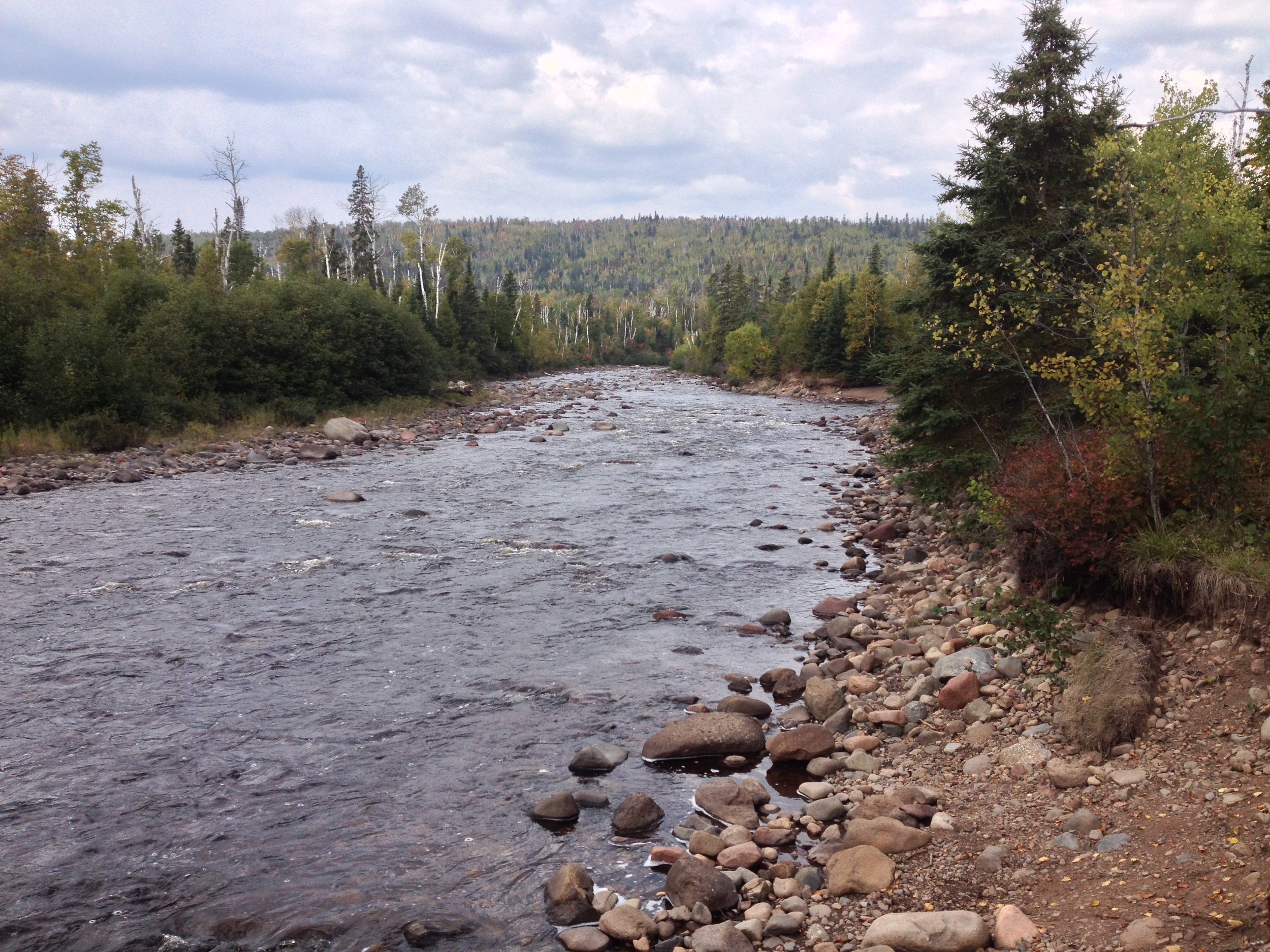
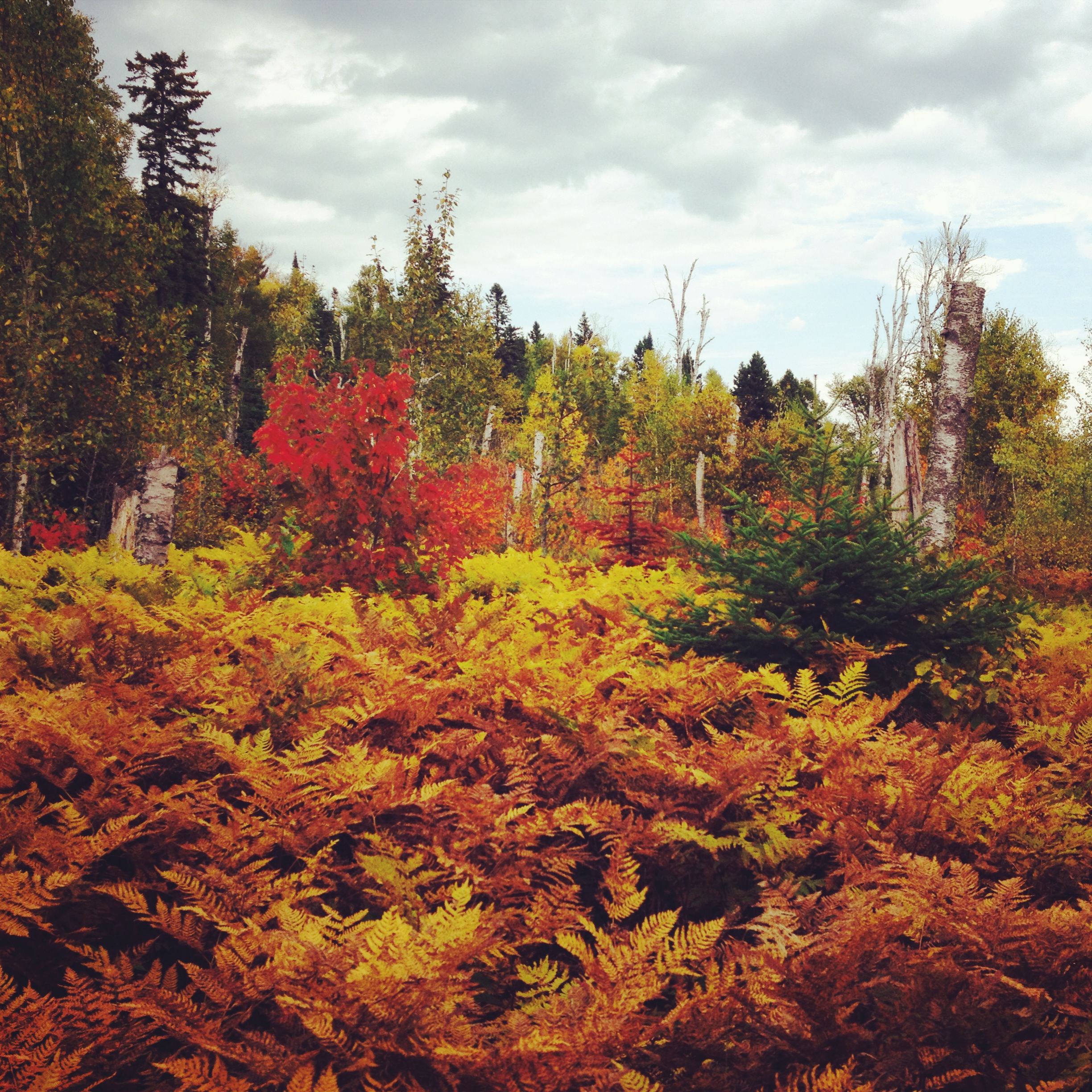
The Trail: I admit that I hadn't explored Jay Cooke beyond the river before I did the Hiking Club Trail. Fortunately the 3.5 mile trail gives a good overview of what the park has to offer, even if it only covers a small portion of it. Begin the trail at the visitor center parking lot. You'll start by crossing the swinging bridge, over the rapids. If you're lucky, you may see kayakers braving the whitewater and waterfalls on their way down the St. Louis, but don't try it yourself unless you are a very experienced whitewater kayaker or have no sense of self-preservation. The rest of the trail is a big loop following the Silver Creek Trail, so you can choose whichever direction you want to go, but I suggest starting by following the river east. You get to see the river calm down a bit and widen as it makes its way to Lake Superior. The trail then turns south from the river through groves of birth and aspen and comes to a point overlooking Silver Creek. You'll continue through the forest, up and down some major hills, and eventually end up back at the river. And follow the river back to the swinging bridge.

Cumulative Miles Hiked: 55.5

Cumulative Miles Driven: 2406

Arbitrary Rating: 5/5

Biome: Laurentian Mixed Forest

Minnesota Valley State Recreation Area

Historic Home in the Minnesota Valley State Recreation Area. 

The Drive: This park had the distinction of pushing me over both 50 miles hiked and 2000 miles driven. I'm not even a third of the way through this "road trip," but 2000 miles is enough for me to discover that backroads are the heart and soul of a good road trip. From the dirt roads of Superior National Forest to the barely maintained one lane forest service road to McCarthy Beach to the seemingly endless grid of western farm roads on the prairie, you're never going to see what Minnesota (or anywhere) is really like unless you're will to put a few extra miles (plus dents, scratches, and insects) on your vehicle. In a previous post I extolled the wonders of Hwy 169 and driving the Minnesota River Valley, but Minnesota Valley State Recreation area gets you off the highway and onto true river valley roads. About 45 minutes southwest of Minneapolis, you leave the highway and drive though a series of failed river settlements that have left nothing behind but abandoned houses and lonely gravestones in the woods. Your just minutes from several populous commuter towns, but you could be a hundred miles and a hundred years away from civilization.

A floodplain in the Minnesota Valley State Recreation Area 

The Park: Minnesota Valley State Recreation Area is made up of seven distinct units running along the Minnesota River from Shakopee to Belle Plaine. About half are run by the DNR and the others by the Fish and Wildlife Service, but the Minnesota Valley State Trail runs through the entire thing and creates a long, cohesive park. The Hiking Club Trail is in the Lawrence Unit near Belle Plaine, named after the failed Lawrence settlement. The park contains a number of abandoned buildings and many other signs of previous habitation including gravestones and ruins. There is also camping available at the Lawrence Unit.

The Minnesota River flowing through the Minnesota Valley State Recreation Area 

The Trail: The Hiking Club Trail begins at the Lawrence Unit parking lot. The trail runs parallel to the river, but you need to take a short spur trail about half a mile in to actually get to the Minnesota Rivers. You'll hike through the flood plains where there is little to no undergrowth, similar to what you would see on Pike Island at Fort Snelling. Be sure to look for the flood lines of the trees - the change in color from the slightly bleached bottom trunks to the untouched upper trunks. It'll give you a sense of just how inundated the trail gets in the spring. About a mile in, you'll emerge from the forest into a valley meadow and head straight toward an abandoned house. In the summer the house is open to the public and interpreted as a museum, but I was there in the fall, so it merely provided a good photo shoot for my sister and me. You'll then cross the road and hike upland through a thick oak/maple forest before circling back to the floodplain.

This hike is fairly generic. The river bottoms never really excite me (probably because I live five minutes from a very similar ecosystem), but it is an easy hike and close to the city. This is one that is worth checking out if you have a free afternoon and are looking to break away from your usual hiking haunts. Finally, don't forget to stop at Minnesota's Largest Candystore in Jordan - you need to replace all those burned calories.

Cumulative Miles Hiked: 52

Cumulative Miles Driven: 2258

Arbitrary Rating: 3/5

Biome: Eastern Broadleaf Forest

Grand Portage State Park

The wilderness of Grand Portage State Park. That's Canada over there! 

The Drive: The drive to Grand Portage took us the rest of the way to the Canadian Border, thus completing the North Shore Drive. It is also probably the most scenic section of the byway. The road cuts through the main section of the Sawtooth Mountains, Superior National Forest, and the virtually uninhabited stretch between Grand Marais and the Grand Portage Reservation. The cultural highlight of this drive is Grand Marais, the largest town between Two Harbors and Thunder Bay, ON. Situated at the head of the Gunflint Trail, Grand Marais is the hub of Arrowhead outdoor sports, art, and tourism. Originally a fishing town, Grand Marais is still the best place to get lake trout and no stop is complete without a visit to the famous (but not very good) pizza joint Sven & Ole's. Spend an hour of so exploring the community before heading up to Grand Portage.

The reconstructed trading post at Grand Portage National Monument. 

The Park: Grand Portage State Park is the only park in Minnesota not owned by the state of Minnesota. Because it is located within the Grand Portage Band of Lake Superior Chippewa reservation, the state leases the land from the tribe. The park is less than 300 acres and the highlight of the park itself is High Falls, the highest waterfall in Minnesota. However, the highlight of a visit to Grand Portage is the Grand Portage National Monument located across the highway from the park. The site of an 18th and 19th century fur trading hub, the old rendezvous site has been rebuilt and is interpreted by the National Park Service. NPS and the tribe also run a great museum on the site. A visit to the national monument will give you the context you need to fully appreciate the state park and the role it played in Minnesota History. The town is also the jumping off point for a trip to Isle Royale National Park.

The Grand Portage State Park Hiking Club Trail is the only handicapped accessible club trail in the system. Worth making the trip even in the rain. 

The Hike: At just one mile, the Grand Portage hike is the shortest of all the Minnesota Hiking Club trails. It is also the only entirely handicapped accessible trail, so if you find yourself in the park, there is absolutely no excuse for you not to take the 1/2 mile trek from the parking lot to watch the Pigeon River cascading over the 120 foot High Falls. Even taking your time, you probably won't spend more than an hour in this park, which is good because there is no camping and unless you want to stay at the casino, you still have to drive a couple hours back to your lodging further south (or bring a passport and stay in Ontario's Pigeon River Provincial Park across the border).

Cumulative Miles Hiked: 48

Cumulative Miles Driven: 1918

Arbitrary Rating: 4/5

Biome: Laurentian Mixed Forest

Cascade River State Park

The cascades of Cascade State Park 

The Drive: Located at the crux of three continental biomes, Minnesota is among the most naturally diverse states in the country. You can find everything from dense pine forest to treeless prairies to rich river valleys, but one thing the North Star State is not known for are its mountains. The road from Temperance River to Cascade River enters into Minnesota's only mountain range, a series of rises that could barely be considered hills next to true mountains. They may be small, but the Sawtooth Mountains, so named for the distinctive pattern of their peaks, provide some welcome elevation to an otherwise fairly flat state. They also provide some of the best hiking, camping, and waterfalls in the region, as any hiker on the Superior Hiking Trail can attest to. Although you can see the mountains from the North Shore Drive, a quick trip inland to see some of the backcountry is definitely worth the drive.

The lichen encrusted Lake Superior shore outside of Cascade State Park. 

The Park: Halfway between Schroeder and Grand Marais, Cascade is usually little more than a pit stop on a longer trip. Since the main cascades are just a quarter mile from the highway, there is usually little incentive to further explore the 5300 acre park. However, those who take the time to wander around are rewarded by one of the most beautiful parks on the North Shore, if not the entire state. The park encompasses two rivers, a large stretch of the Superior Hiking Trail, Lookout Mountain, and access to trails the penetrate deeper into the Sawtooth range. Cascade River and Cascade Creek are aptly named since both streams are made up of a series of falls descending nearly a thousand feet on their path to Lake Superior. The trails follow the rivers and meander around Lookout Mountains giving picturesque views of the water and surrounding forests. Like many parks in Minnesota, Cascade doesn't have some grand attraction, but provides a quiet beauty that takes time to appreciate. Take the time, it's worth it.

View from the overlook. Autumn colors just past their peak at Cascade River State Park 

The Hike: The Hiking Club hike follows the Lookout Mountain Trail. Start at the main trailhead on Hwy 61 (there is a parking lot) and follow the trail to the main cascades. This is as far as the majority of people go. You, however, are going to snap a few pictures of the falls and continue on up the trail. You'll follow the river for another half mile or so before breaking off the main trail and heading up to the mountain. I was here in the autumn and the mixture of green cedars and yellow aspen and ferns made the entire hike feel a little like an REI advertisement, but the hike would be great all summer long and probably a little dangerous in the winter. The first half of this trail is well marked and leads you up to the peak (there is some backpacking campsites near the peak if you're interested), but the second half is less well marked and we ended up coming out at Cascade Lodge, a resort and restaurant, instead of the park. If this happens, don't worry. Just go get a drink at the restaurant and walk the quarter mile down the road back to your parking spot. If you do manage to follow the trial back, good job, but you missed out on some good Minnesota culture.

Cumulative Miles Hiked: 47

Cumulative Miles Driven: 1872

Arbitrary Rating: 4/5

Biome: Laurentian Mixed Forest

Temperance River State Park

Temperance River State Park Hiking Club Trail 

The Drive: The North Shore Scenic Byway on Hwy 61 is probably the most famous and well traveled scenic route in Minnesota and for good reason. It runs from Duluth to Canada along the north shore of Lake Superior, crossing twenty-one rivers with waterfalls (and many without), passing through seven state parks, three state waysides, four state forests, a national forest, a national monument, an Indian reservation, and about a dozen small towns. And of course the main attraction is Lake Superior, the greatest of the Great Lakes. The largest freshwater lake in the world, Superior never, ever gets old. It is different every time I'm up there and I appreciate it more and more with each trip. There are many beautiful roads throughout the state, some more beautiful in their own way than Hwy 61, but none are as grand.

Canada Geese swimming in Lake Superior at Temperance River State Park 

The Park: Temperance River State Park has always been one of my favorite North Shore parks. It is just fun to clamber over all the rocks, cliff jump into the pools, hike the river edge, look for bears, listen for wolves, and skip rocks into the (sometimes) placid waters of Superior. The campground is fantastic - right on the shore of the lake. The park is huge with almost 25 miles of hiking throughout the woods, but the main attractions are pretty compact and can be seen on a few two or three hour hikes. It also has access to the Superior Hiking Trail for long distance hikers. Temperance is a destination park and a great jumping off point to see other sites along the North Shore.

The trail winds through mixed birch-pine forests. Fall is an excellent time to visit Temperance River State Park 

The Trail: The 1.9 mile Hiking Club trail follows the east bank of the Temperance River up to the upper falls before turning into the woods. The river is the highlight of the hike. You'll go by cascades, deep cuts in the rock, whirlpools, and wide vistas of the mountains (hills) in the background. The main trail continues to the top of Carlton Peak (which is a great hike that you should do while you're there), but the hiking club trail cuts back through the woods to the road. It is less scenic, but when I did it, there were mushrooms everywhere, which definitely made it worth while. I think the password is before the turn off, so if you've never been to the park before, I suggest skipping the turn off and just doing the Carlton Peak trail. It's quite a bit longer, but the view is worth it. 

Cumulative Miles Hiked: 43.5

Cumulative Miles Driven: 1853

Arbitrary Rating: 5/5